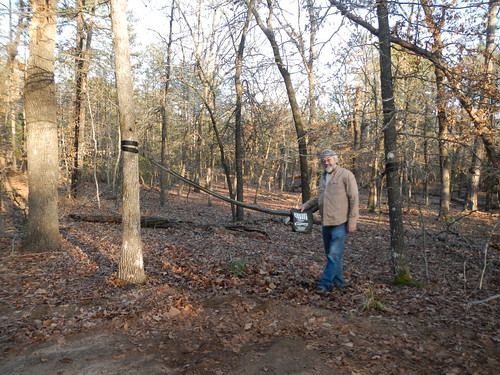
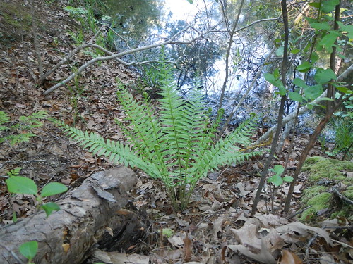
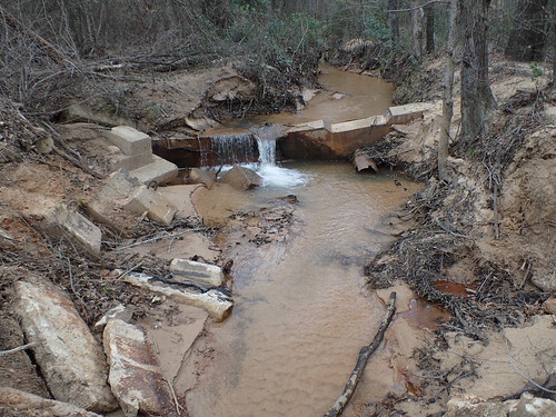
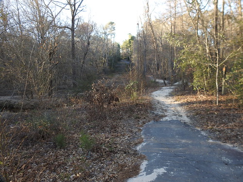
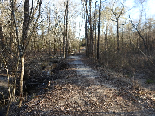
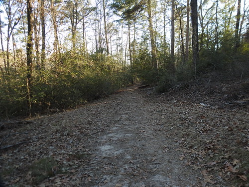
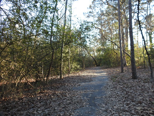
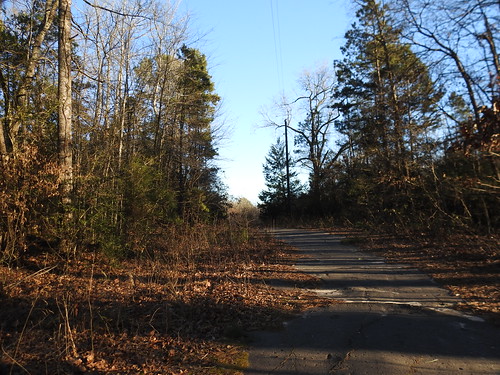
Elevation of FM, Winnsboro, TX, USA
Location: United States > Texas > Wood County > Winnsboro >
Longitude: -95.257093
Latitude: 32.7873159
Elevation: 132m / 433feet
Barometric Pressure: 100KPa
Related Photos:
Topographic Map of FM, Winnsboro, TX, USA
Find elevation by address:

Places near FM, Winnsboro, TX, USA:
656 Green Meadow Trail
Holly Lake Ranch
Wood County
146 Mulberry Cove
128 Mulberry Cove
110 Mulberry Cove
FM 49, Mineola, TX, USA
FM, Hawkins, TX, USA
500 Helena Dr
500 Helena Dr
500 Helena Dr
2235 Fm 49
TX-37, Quitman, TX, USA
9644 Fm 49
Winnsboro
US-80, Hawkins, TX, USA
870 W Broadway St
Quitman
519 S Main St
2499 Red Maple Rd
Recent Searches:
- Elevation of Corso Fratelli Cairoli, 35, Macerata MC, Italy
- Elevation of Tallevast Rd, Sarasota, FL, USA
- Elevation of 4th St E, Sonoma, CA, USA
- Elevation of Black Hollow Rd, Pennsdale, PA, USA
- Elevation of Oakland Ave, Williamsport, PA, USA
- Elevation of Pedrógão Grande, Portugal
- Elevation of Klee Dr, Martinsburg, WV, USA
- Elevation of Via Roma, Pieranica CR, Italy
- Elevation of Tavkvetili Mountain, Georgia
- Elevation of Hartfords Bluff Cir, Mt Pleasant, SC, USA
