Elevation of Gilmer, TX, USA
Location: United States > Texas > Upshur County >
Longitude: -94.942437
Latitude: 32.7287472
Elevation: 114m / 374feet
Barometric Pressure: 100KPa
Elevation Map:
Satellite Map:
Related Photos:

DSC_0701.jpg

DSC_0706.jpg

20140622-PANO_2014P1010682
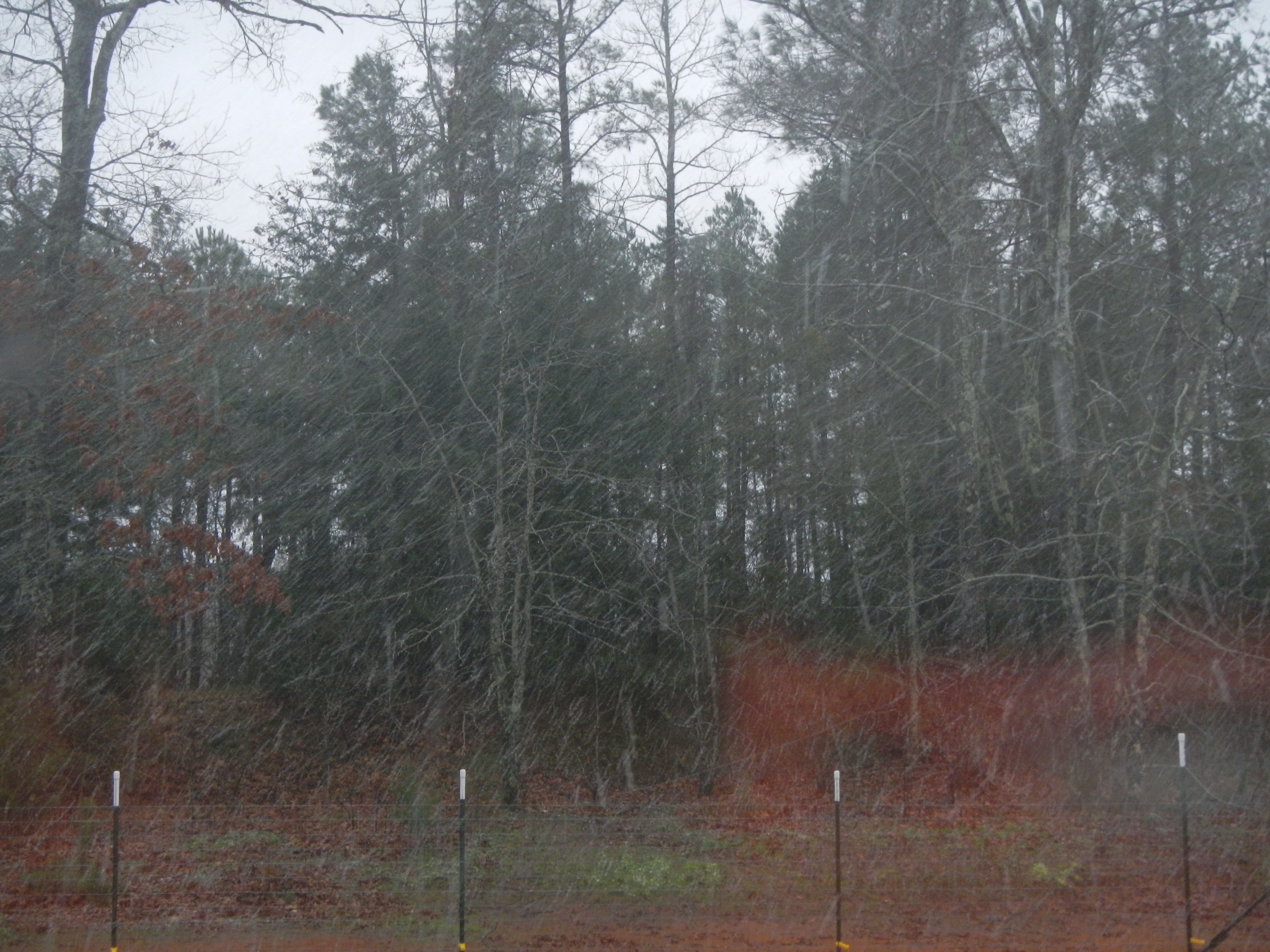
Snow at Christmas, 2012
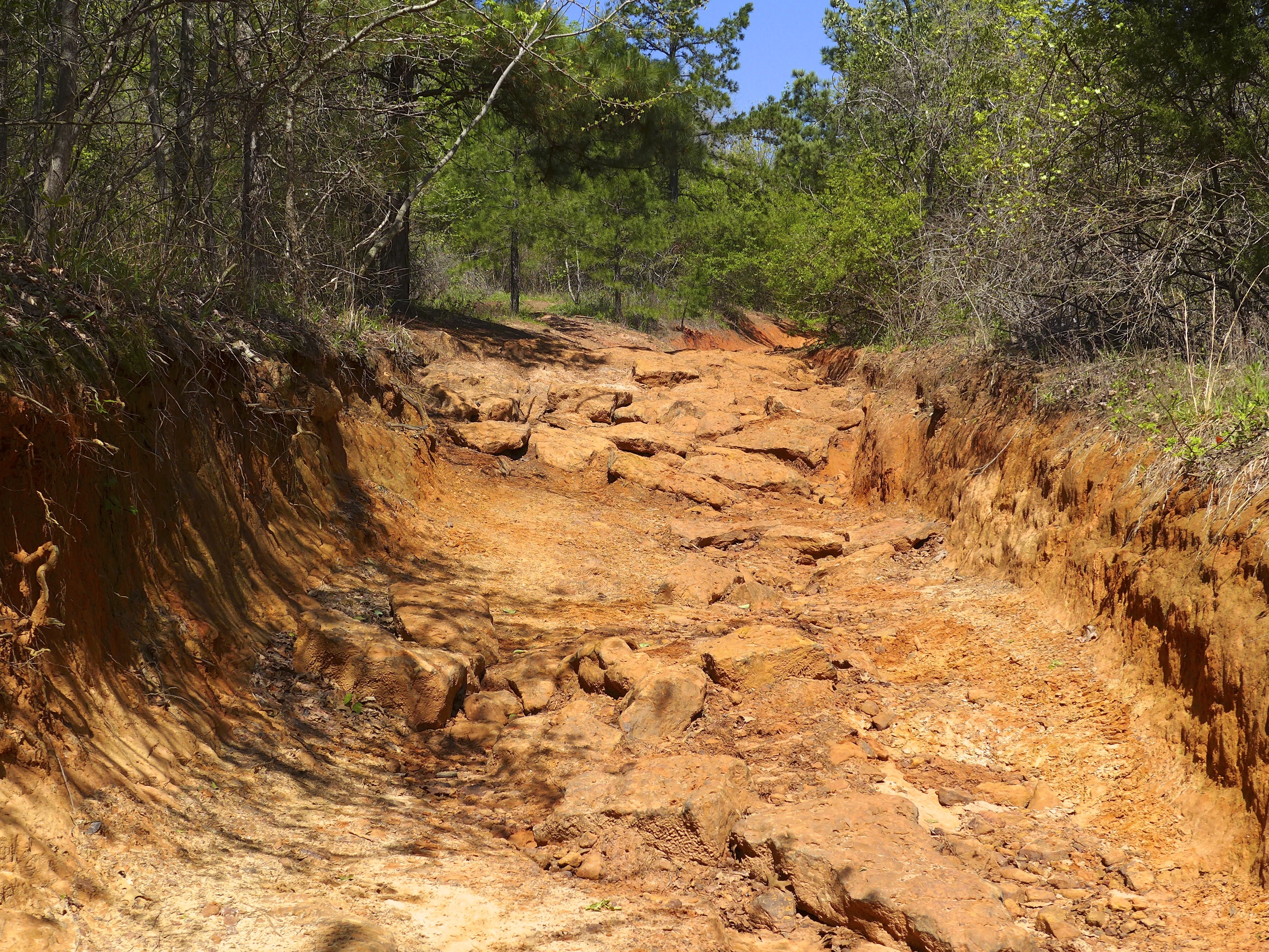
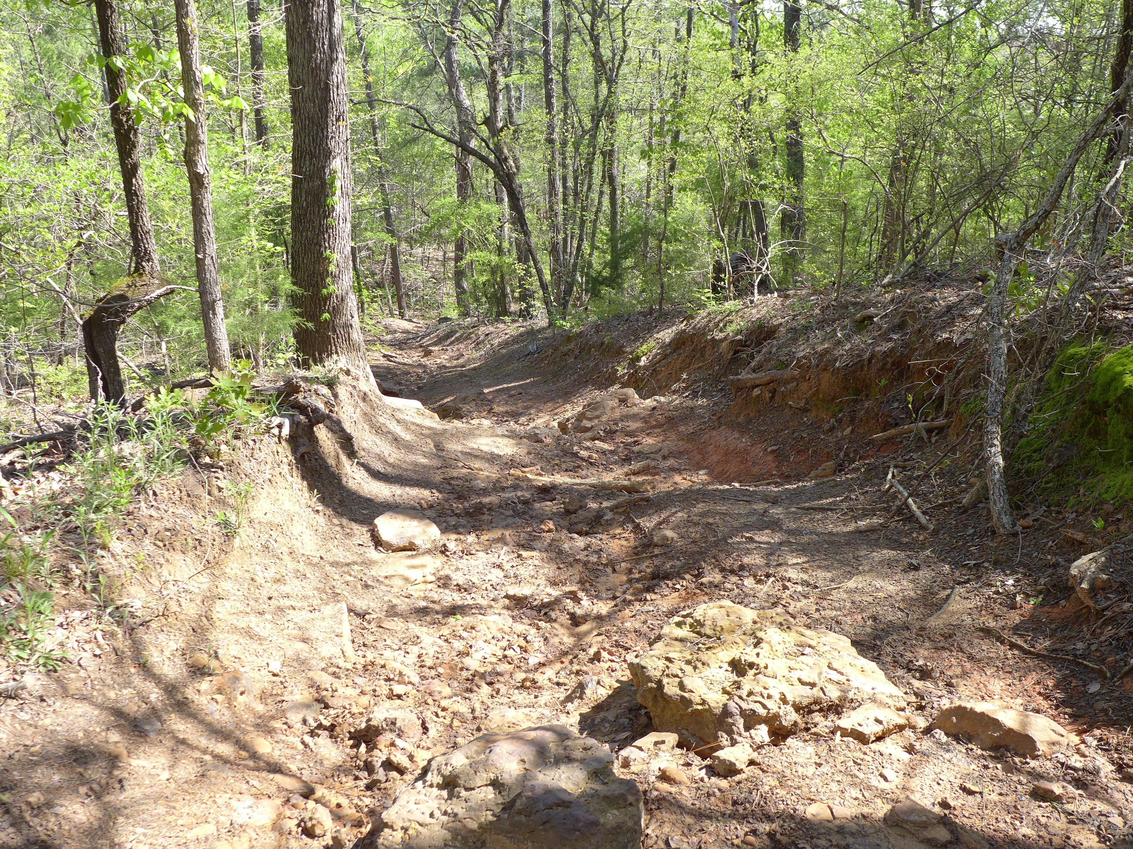
Barnwell mountain off road park
20140306-PANO_2014P1080750
DSCN0563.JPG
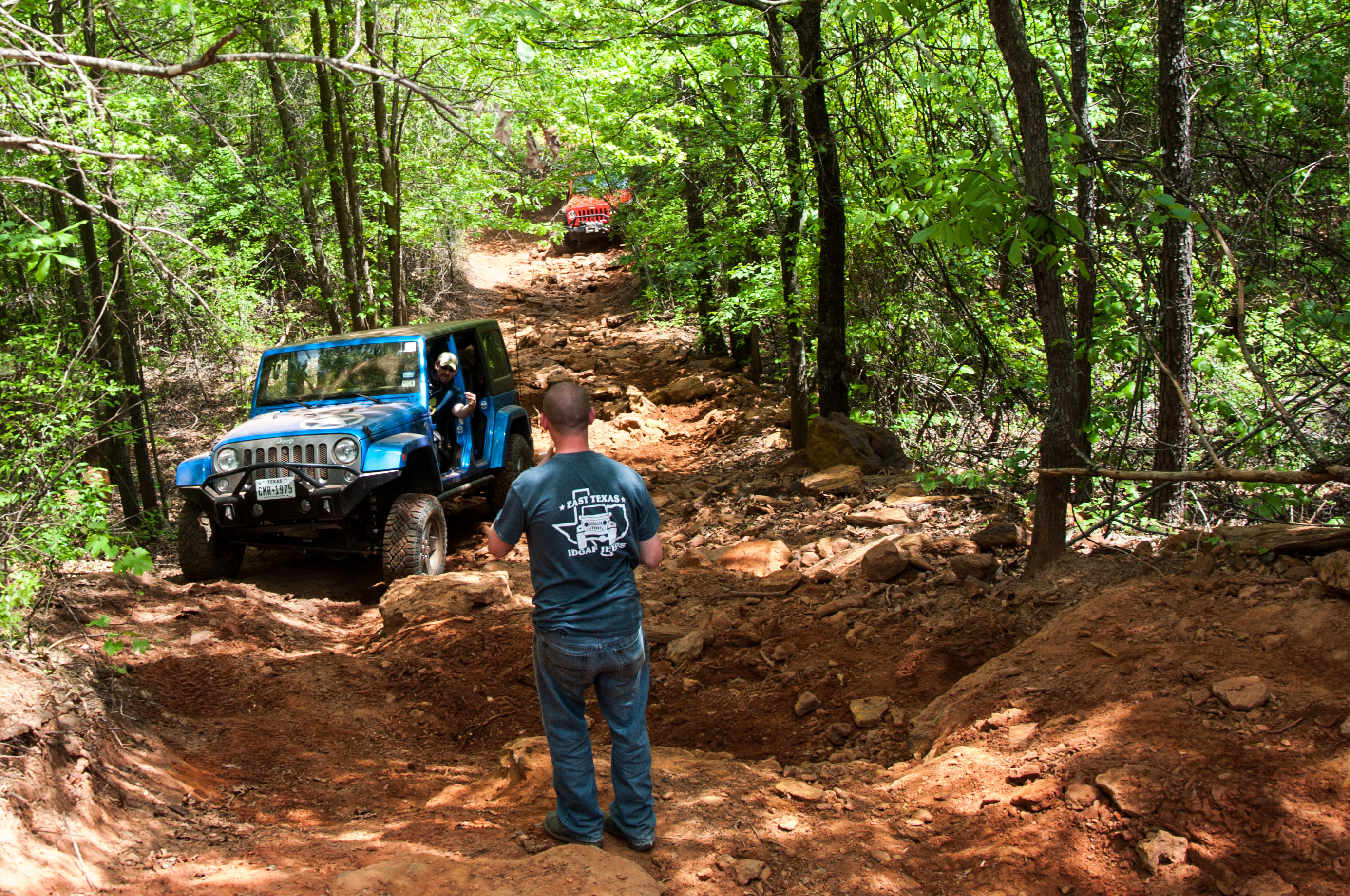
Barnwell mountain off road park

DSC_0593.jpg
DSC_0590.jpg

2013 LSJC Election Run
DSC_0575.jpg
Topographic Map of Gilmer, TX, USA
Find elevation by address:

Places in Gilmer, TX, USA:
FM, Gilmer, TX, USA
Dahlia Rd, Gilmer, TX, USA
S Lake Dr, Gilmer, TX, USA
TX-, Gilmer, TX, USA
Bob-O-Link Rd, Gilmer, TX, USA
Salter Lane
FM, Gilmer, TX, USA
S Live Oak Rd, Gilmer, TX, USA
FM, Gilmer, TX, USA
Gilmer, TX, USA
Places near Gilmer, TX, USA:
Upshur County
2781 Fm852
Bob-O-Link Rd, Gilmer, TX, USA
3863 Bobwhite Rd
TX-, Gilmer, TX, USA
3175 Crabapple Rd
Gilmer, TX, USA
3150 Bluebell Rd
FM, Gilmer, TX, USA
1561 Ironwood Rd
Crabapple Rd, Big Sandy, TX, USA
Dahlia Rd, Gilmer, TX, USA
2226 Holly Rd
FM, Gilmer, TX, USA
S Live Oak Rd, Gilmer, TX, USA
S Lake Dr, Gilmer, TX, USA
Salter Lane
9644 Fm 49
Bois D'Arc Dr, Diana, TX, USA
2775 Willow Oak Rd
Recent Searches:
- Elevation of Corso Fratelli Cairoli, 35, Macerata MC, Italy
- Elevation of Tallevast Rd, Sarasota, FL, USA
- Elevation of 4th St E, Sonoma, CA, USA
- Elevation of Black Hollow Rd, Pennsdale, PA, USA
- Elevation of Oakland Ave, Williamsport, PA, USA
- Elevation of Pedrógão Grande, Portugal
- Elevation of Klee Dr, Martinsburg, WV, USA
- Elevation of Via Roma, Pieranica CR, Italy
- Elevation of Tavkvetili Mountain, Georgia
- Elevation of Hartfords Bluff Cir, Mt Pleasant, SC, USA