Elevation of Escarpment Peak, Colorado, USA
Location: United States > Colorado > Moffat County > Maybell >
Longitude: -108.12786
Latitude: 40.2980256
Elevation: 2390m / 7841feet
Barometric Pressure: 76KPa
Elevation Map:
Satellite Map:
Related Photos:
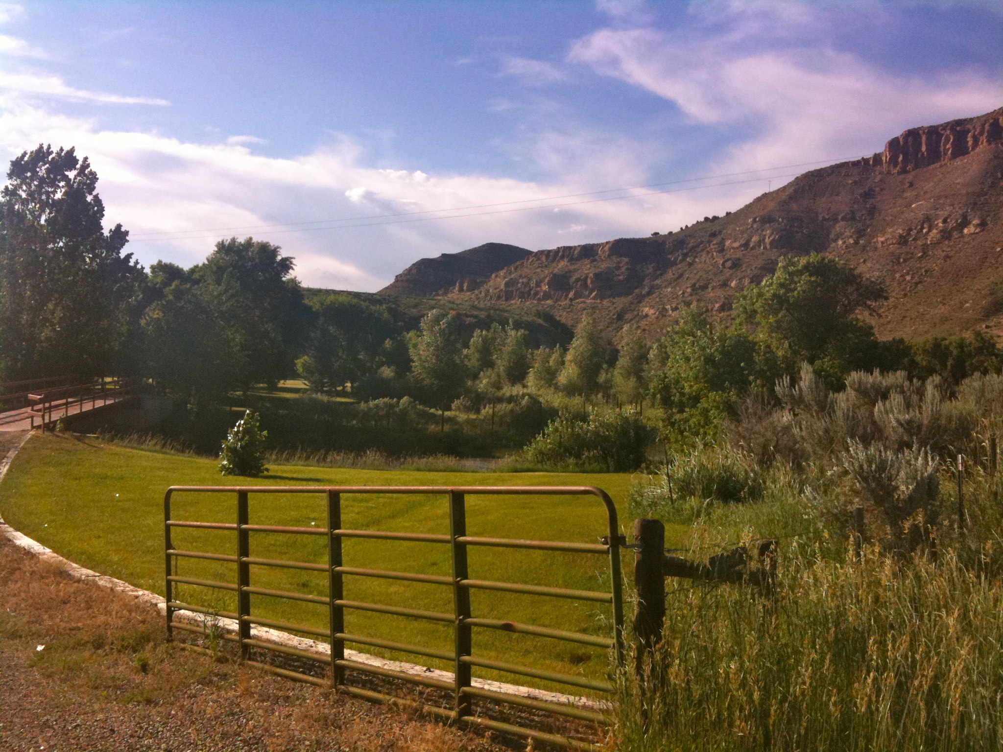
IMG_0149
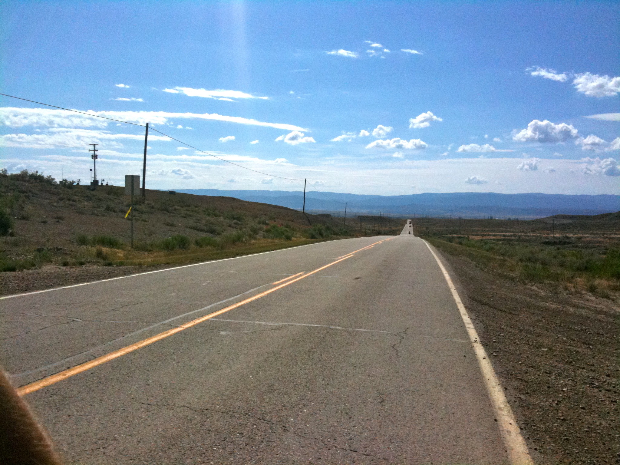
IMG_3010
Topographic Map of Escarpment Peak, Colorado, USA
Find elevation by address:

Places near Escarpment Peak, Colorado, USA:
Gray Hills Hp
Juniper Mountain
Colorado 64
Maybell
CO-64, Meeker, CO, USA
White River City
Devils Hole Mountain
Cross Mountain Ranch
Moffat County
Rio Blanco County
Axial
Elk Mountain Inn
Meeker
CO-13, Meeker, CO, USA
Thornburgh Mountain
Aldrich Lakes
Pronghorn Road
8617 County Rd 8
25 Valley View Dr
Sawmill Mountain
Recent Searches:
- Elevation of Corso Fratelli Cairoli, 35, Macerata MC, Italy
- Elevation of Tallevast Rd, Sarasota, FL, USA
- Elevation of 4th St E, Sonoma, CA, USA
- Elevation of Black Hollow Rd, Pennsdale, PA, USA
- Elevation of Oakland Ave, Williamsport, PA, USA
- Elevation of Pedrógão Grande, Portugal
- Elevation of Klee Dr, Martinsburg, WV, USA
- Elevation of Via Roma, Pieranica CR, Italy
- Elevation of Tavkvetili Mountain, Georgia
- Elevation of Hartfords Bluff Cir, Mt Pleasant, SC, USA