Elevation of Axial, CO, USA
Location: United States > Colorado > Moffat County >
Longitude: -107.79201
Latitude: 40.2852508
Elevation: 1969m / 6460feet
Barometric Pressure: 80KPa
Elevation Map:
Satellite Map:
Related Photos:
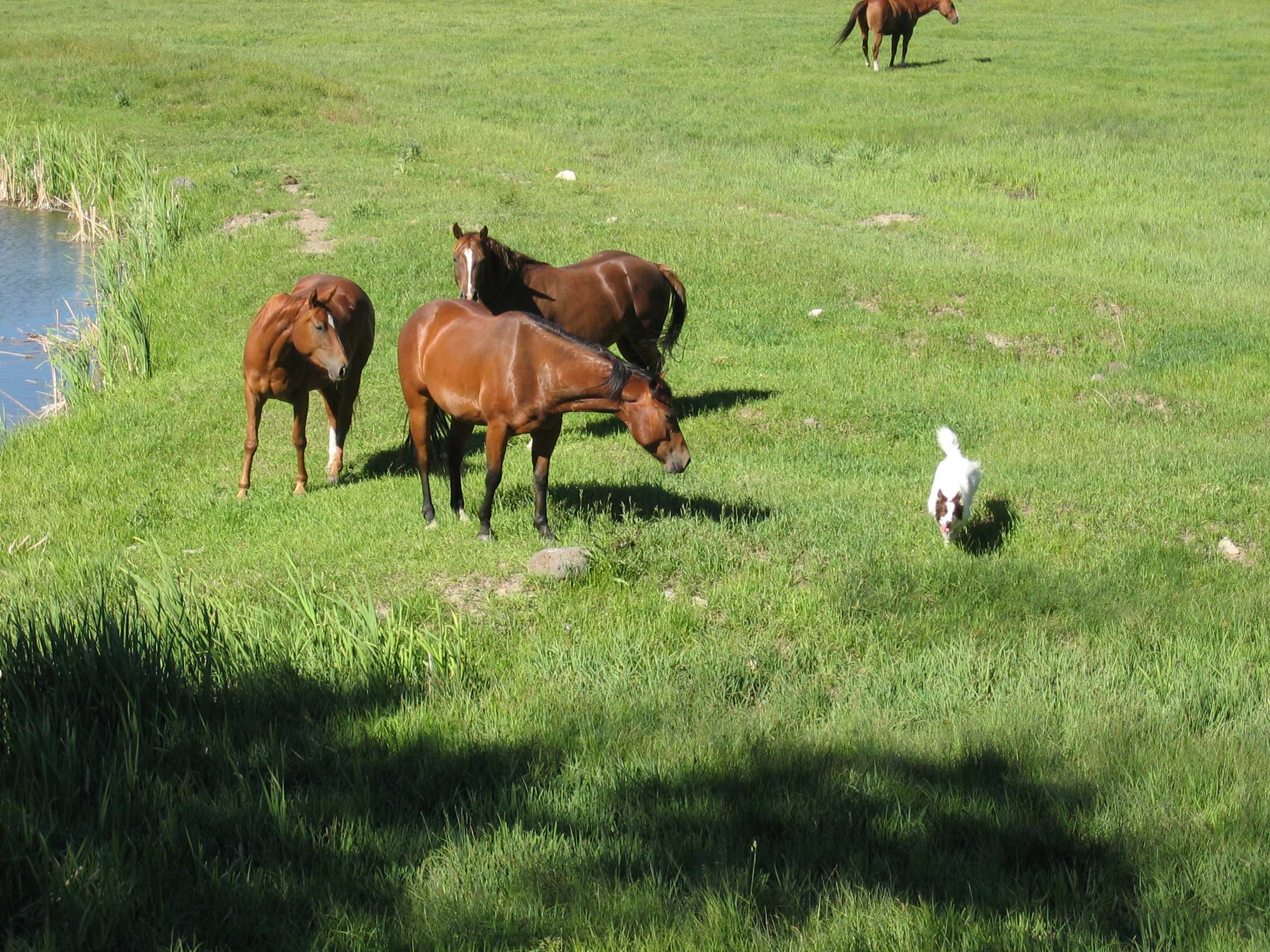
Herding Horses
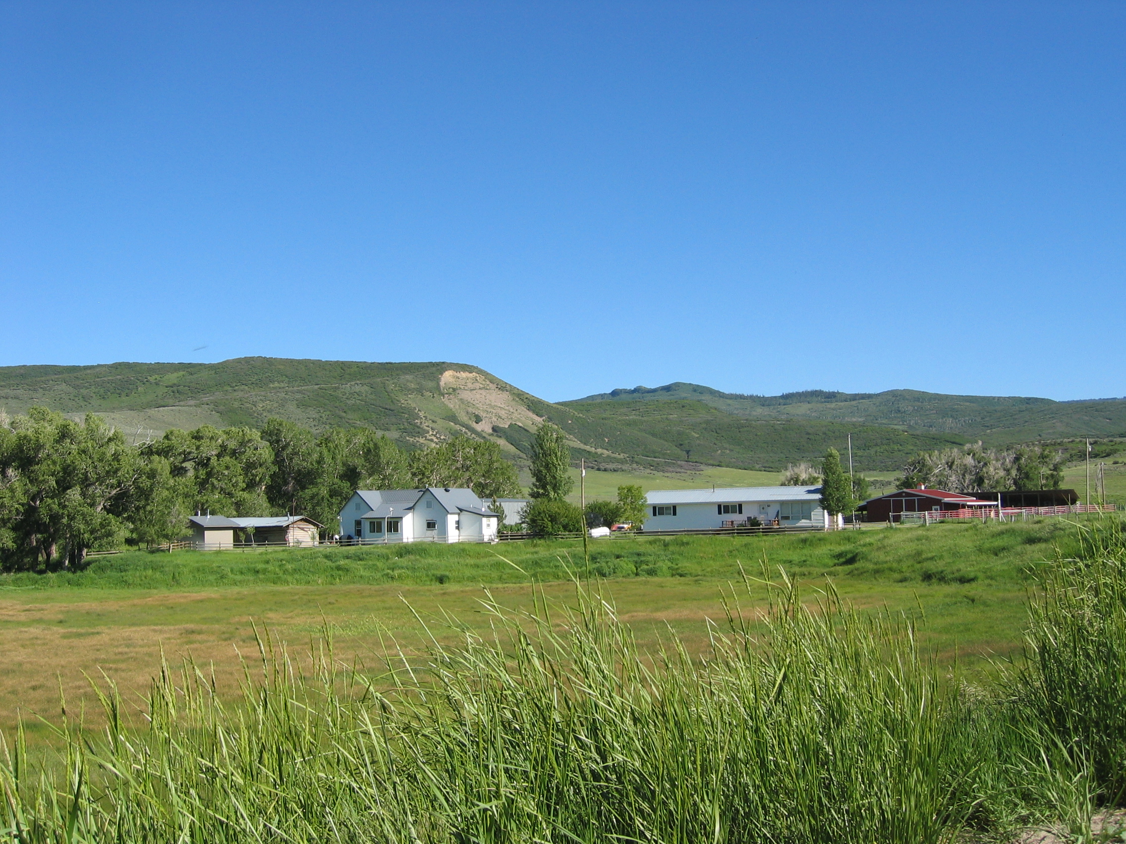
Jones Ranch

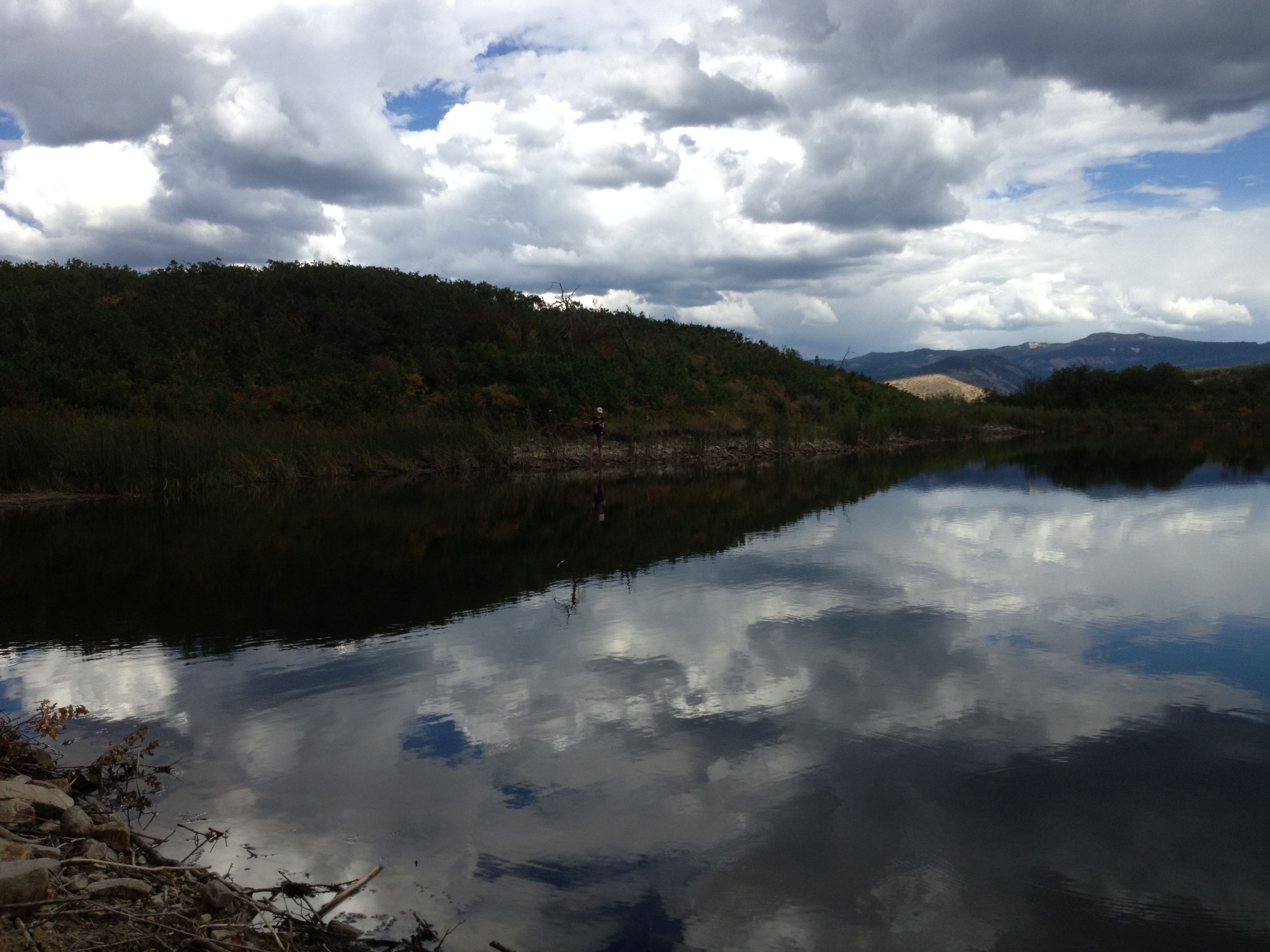
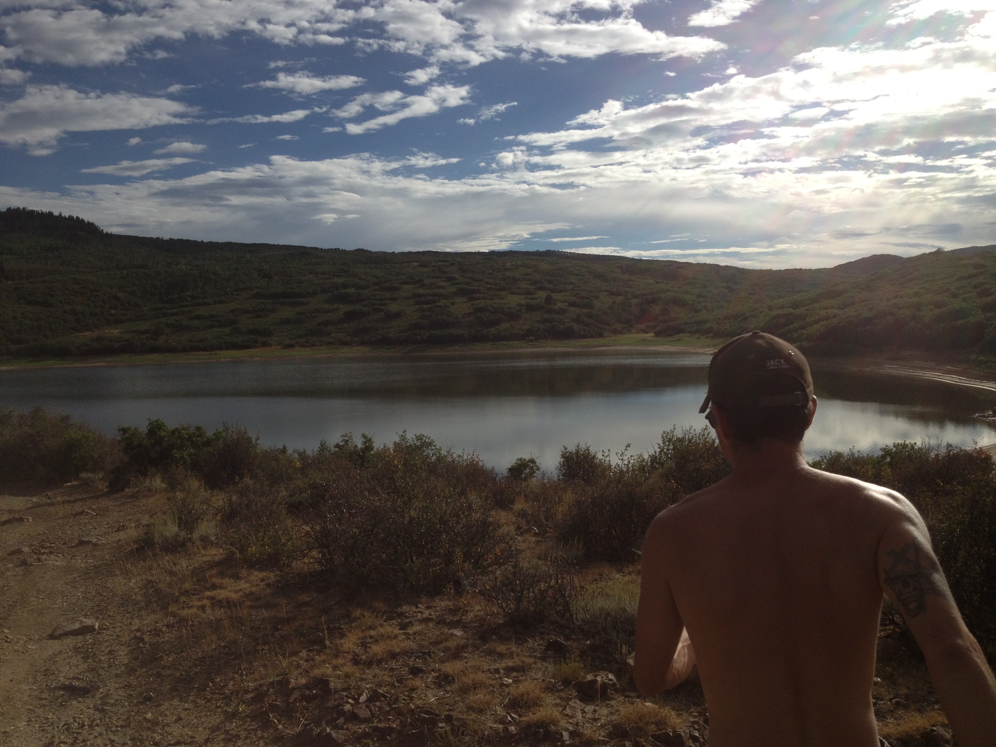
Sagebrush steppe in the areas of Meeker and Craig, Colorado
Mikenholly family friends
Mikenholly family friends

Mikenholly family friends

Milk Creek Battlefield Park
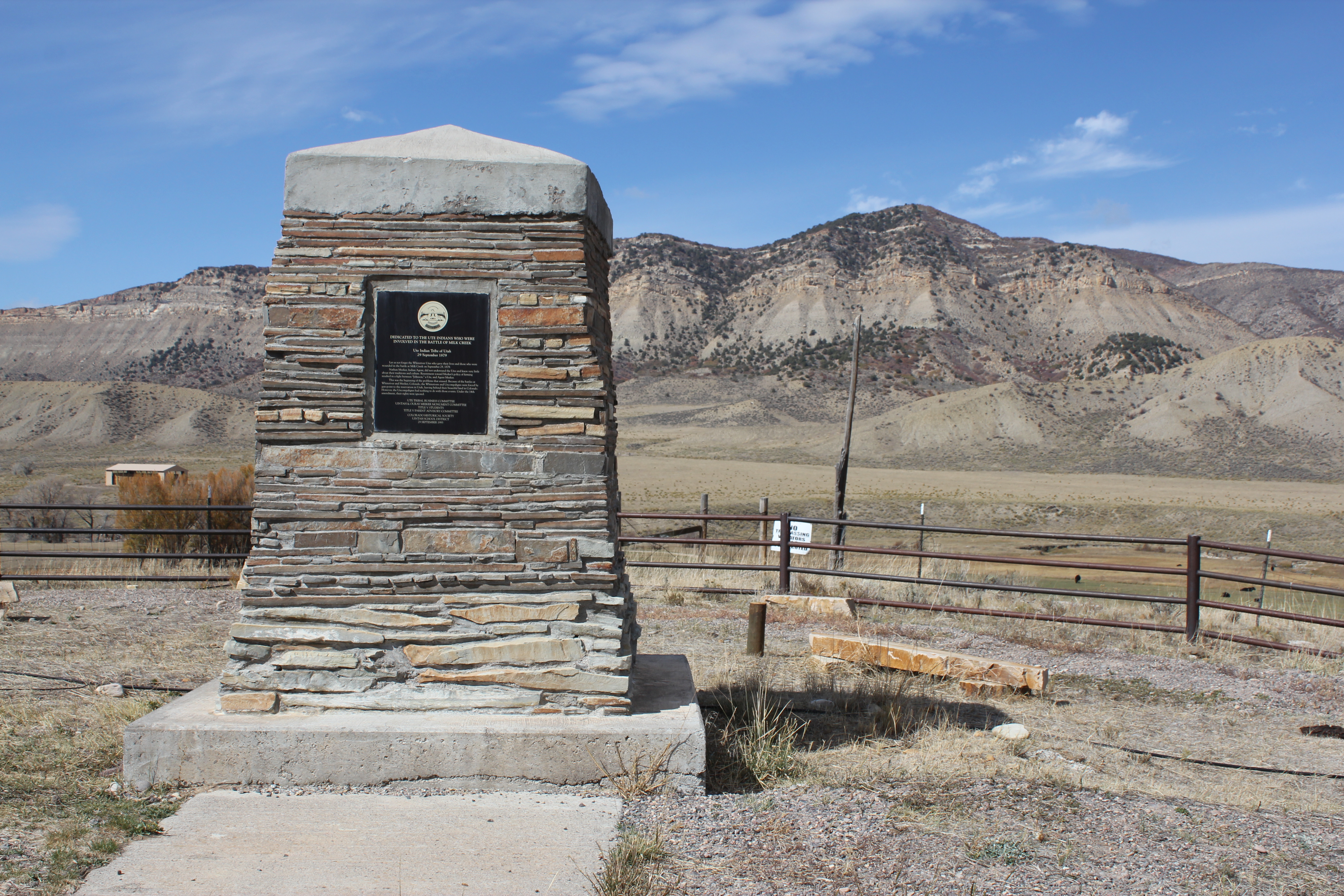
Ute Monument

Flowers at the Jones Ranch
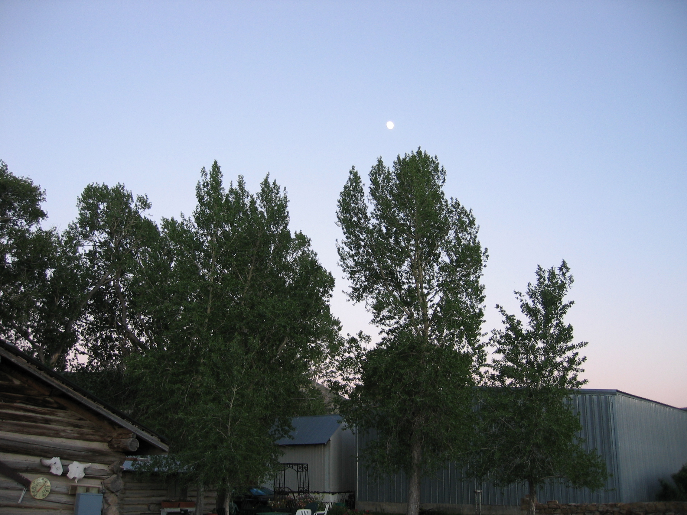
Evening Sky in Meeker
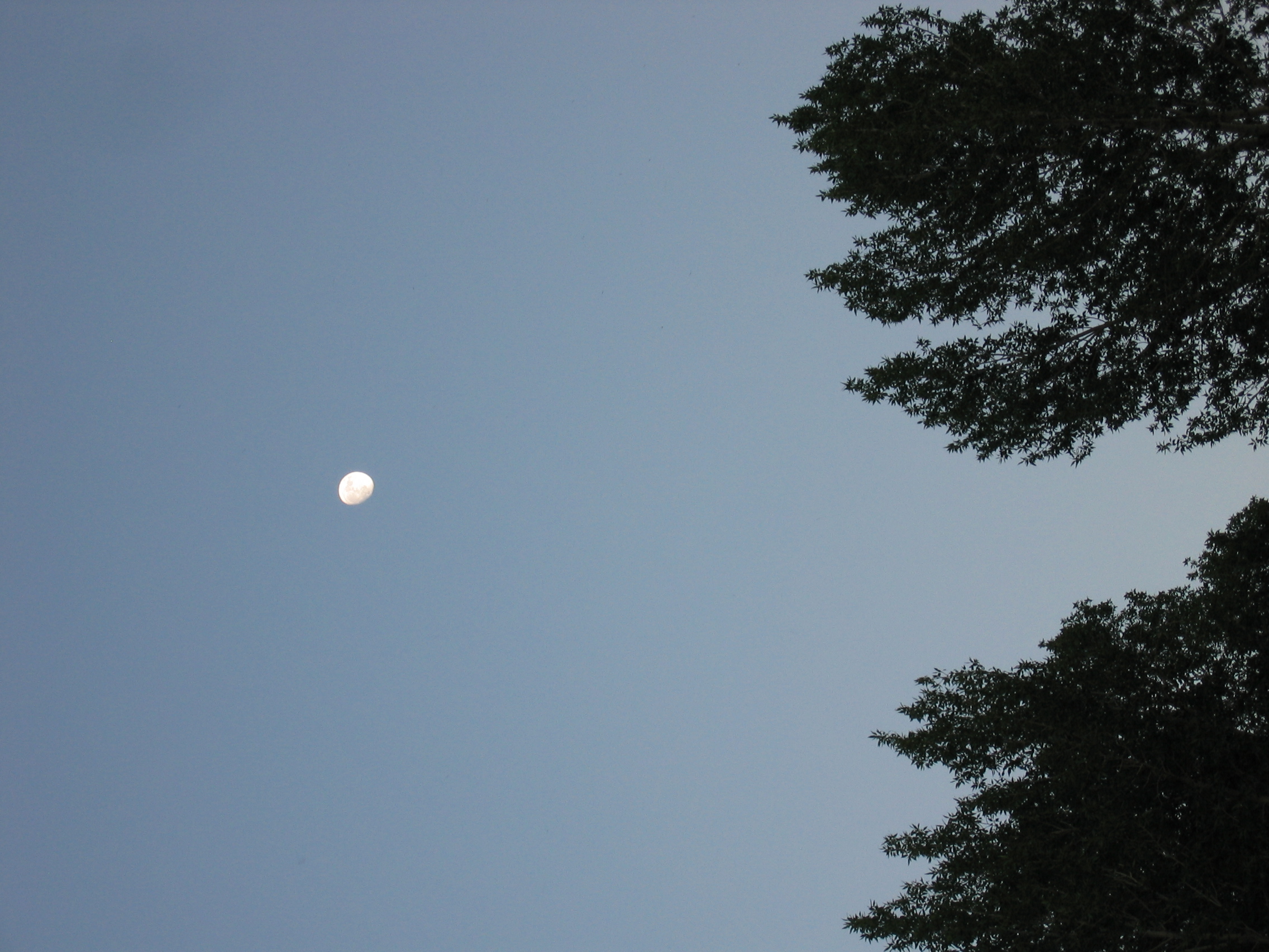
Evening Sky in Meeker
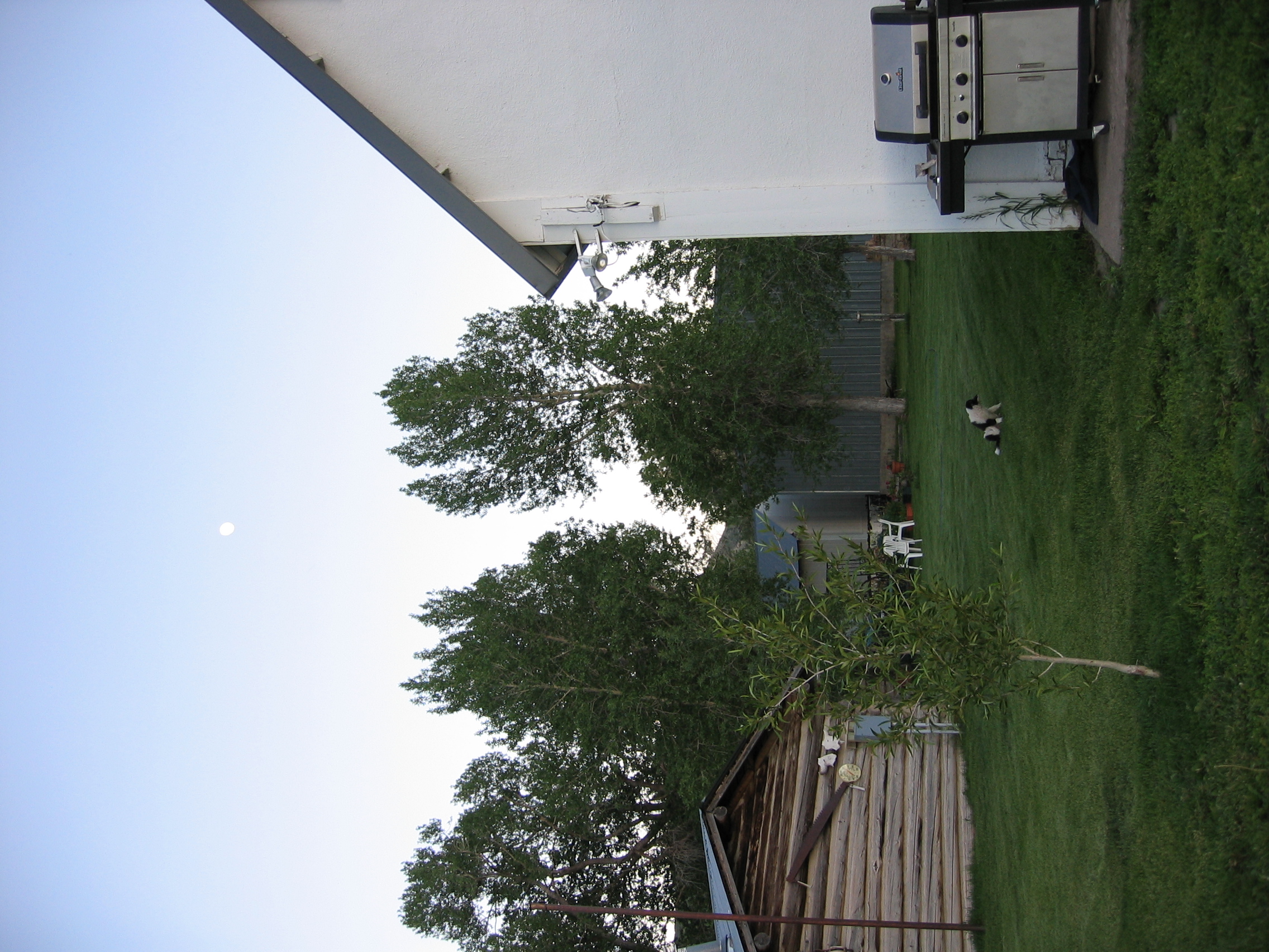
Evening at the Jones Ranch
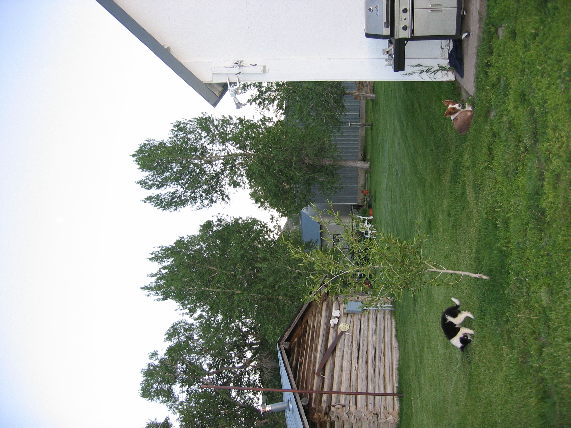
Dogs on the ranch...

Jess and Kate

Jess and Kate
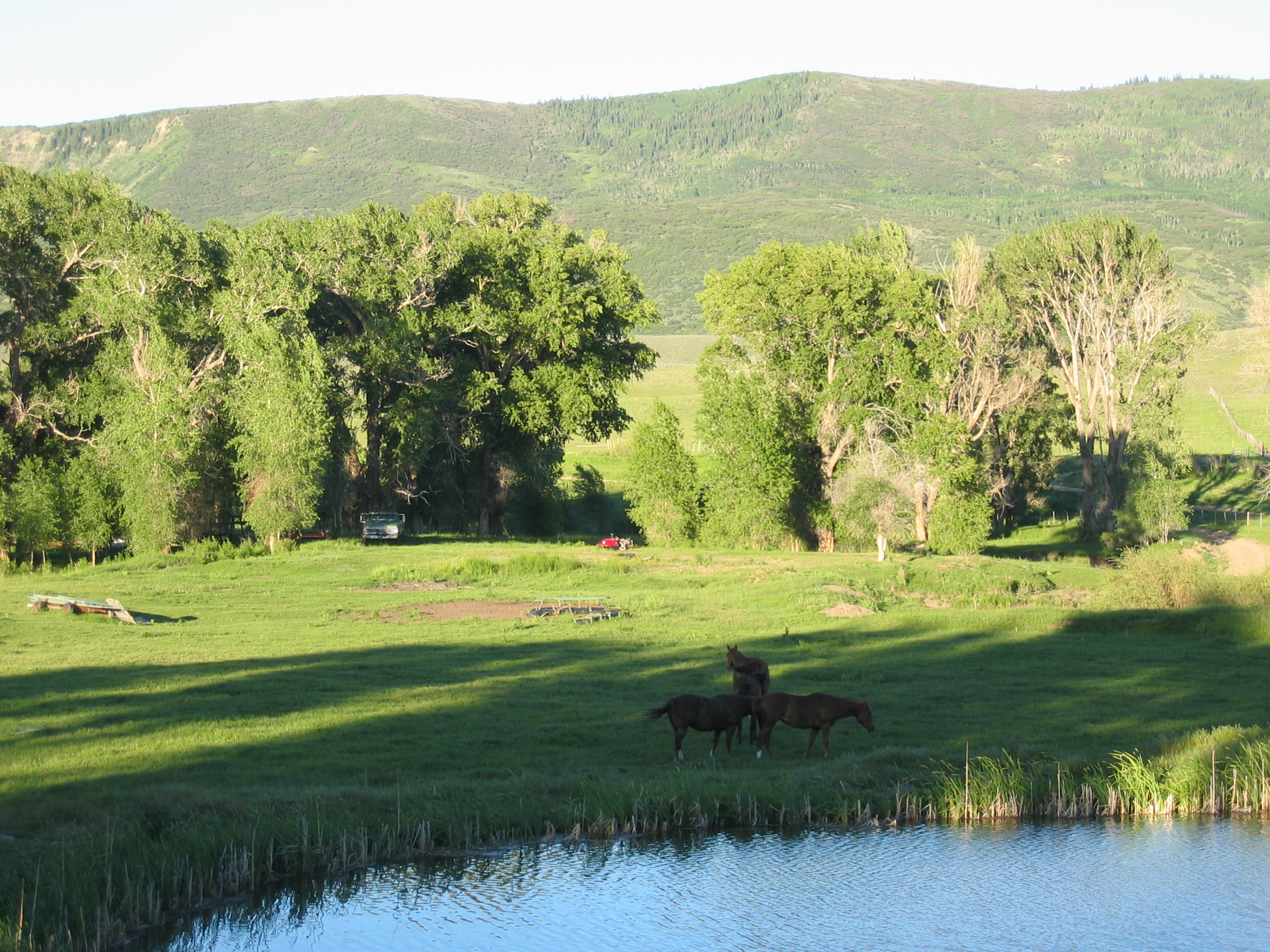
Horse Pasture

BBQ at the Jones Ranch

Upside-down Kate

Kate in a blanket

Peek-a-boo Kate
Topographic Map of Axial, CO, USA
Find elevation by address:

Places near Axial, CO, USA:
CO-13, Meeker, CO, USA
Thornburgh Mountain
Aldrich Lakes
Devils Hole Mountain
Hamilton
Three Points Mountain
Iles Mountain
Pronghorn Road
Sawmill Mountain
1163 Co Rd 53
25 Valley View Dr
Meeker
Elk Mountain Inn
Wilson Mesa
Juniper Mountain
Moffat County Municipal Solid
Ellison Mountain
Sleepy Cat Peak
Wheatridge Dr, Craig, CO, USA
Gray Hills Hp
Recent Searches:
- Elevation of Corso Fratelli Cairoli, 35, Macerata MC, Italy
- Elevation of Tallevast Rd, Sarasota, FL, USA
- Elevation of 4th St E, Sonoma, CA, USA
- Elevation of Black Hollow Rd, Pennsdale, PA, USA
- Elevation of Oakland Ave, Williamsport, PA, USA
- Elevation of Pedrógão Grande, Portugal
- Elevation of Klee Dr, Martinsburg, WV, USA
- Elevation of Via Roma, Pieranica CR, Italy
- Elevation of Tavkvetili Mountain, Georgia
- Elevation of Hartfords Bluff Cir, Mt Pleasant, SC, USA