Elevation of Devils Hole Mountain, Colorado, USA
Location: United States > Colorado > Meeker >
Longitude: -107.90035
Latitude: 40.1827504
Elevation: 2582m / 8471feet
Barometric Pressure: 74KPa
Elevation Map:
Satellite Map:
Related Photos:
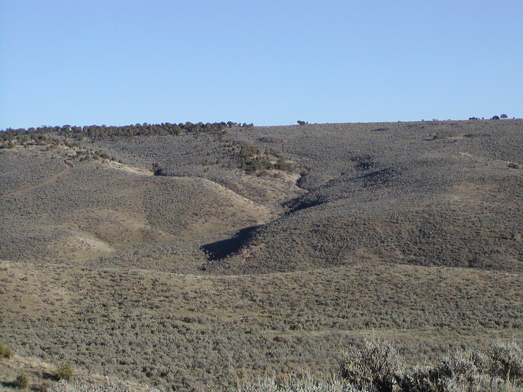
hillside
Topographic Map of Devils Hole Mountain, Colorado, USA
Find elevation by address:

Places near Devils Hole Mountain, Colorado, USA:
Meeker
Elk Mountain Inn
Axial
CO-13, Meeker, CO, USA
Thornburgh Mountain
Aldrich Lakes
Gray Hills Hp
8617 County Rd 8
Escarpment Peak
Sawmill Mountain
Three Points Mountain
Juniper Mountain
Iles Mountain
Colorado 64
Ellison Mountain
1163 Co Rd 53
CO-64, Meeker, CO, USA
White River City
Hamilton
County Rd 8, Meeker, CO, USA
Recent Searches:
- Elevation of Corso Fratelli Cairoli, 35, Macerata MC, Italy
- Elevation of Tallevast Rd, Sarasota, FL, USA
- Elevation of 4th St E, Sonoma, CA, USA
- Elevation of Black Hollow Rd, Pennsdale, PA, USA
- Elevation of Oakland Ave, Williamsport, PA, USA
- Elevation of Pedrógão Grande, Portugal
- Elevation of Klee Dr, Martinsburg, WV, USA
- Elevation of Via Roma, Pieranica CR, Italy
- Elevation of Tavkvetili Mountain, Georgia
- Elevation of Hartfords Bluff Cir, Mt Pleasant, SC, USA