Elevation of CO-64, Meeker, CO, USA
Location: United States > Colorado > Meeker >
Longitude: -108.22215
Latitude: 40.0953413
Elevation: 1749m / 5738feet
Barometric Pressure: 82KPa
Elevation Map:
Satellite Map:
Related Photos:
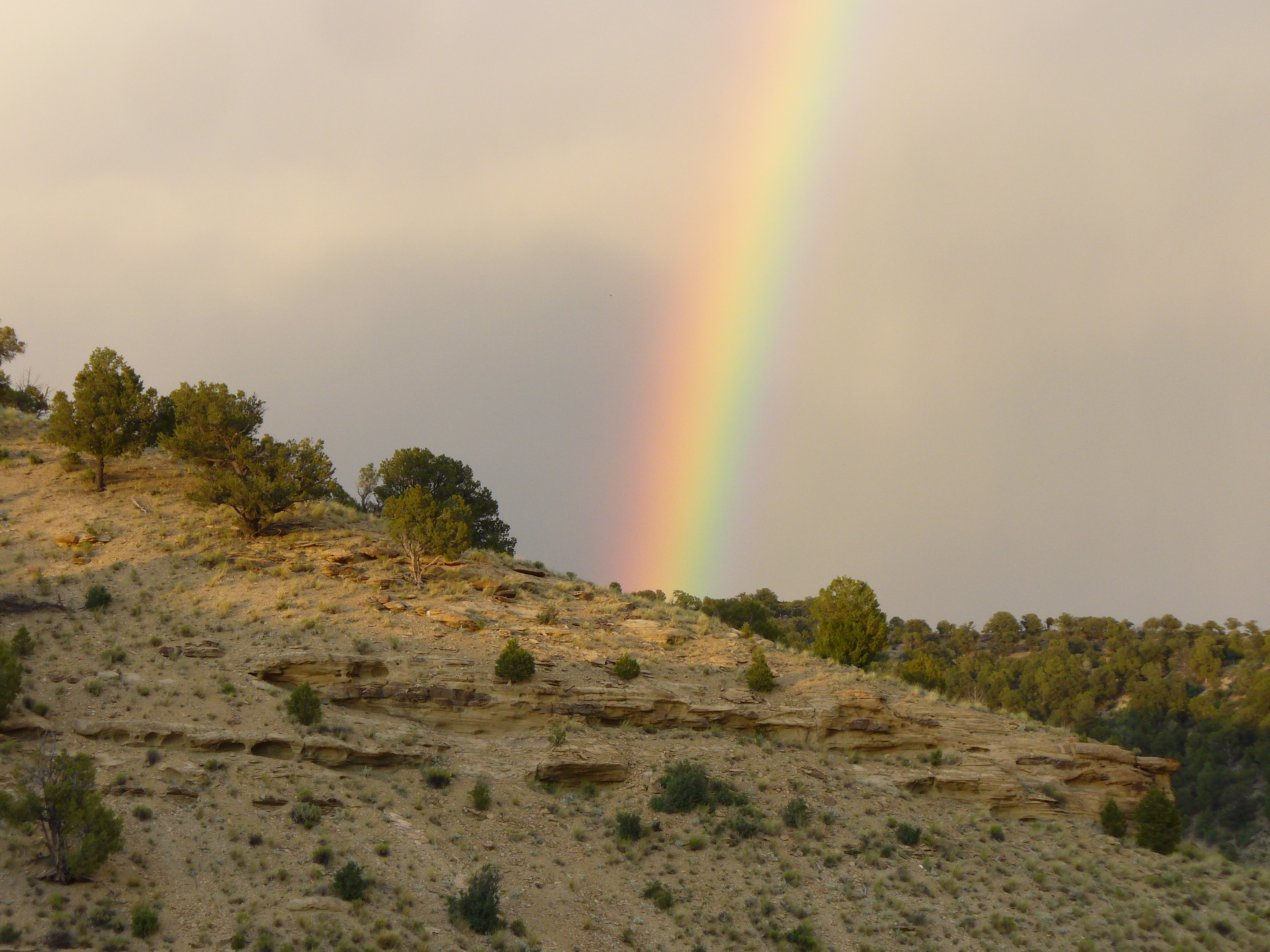
little hills rainbow 2
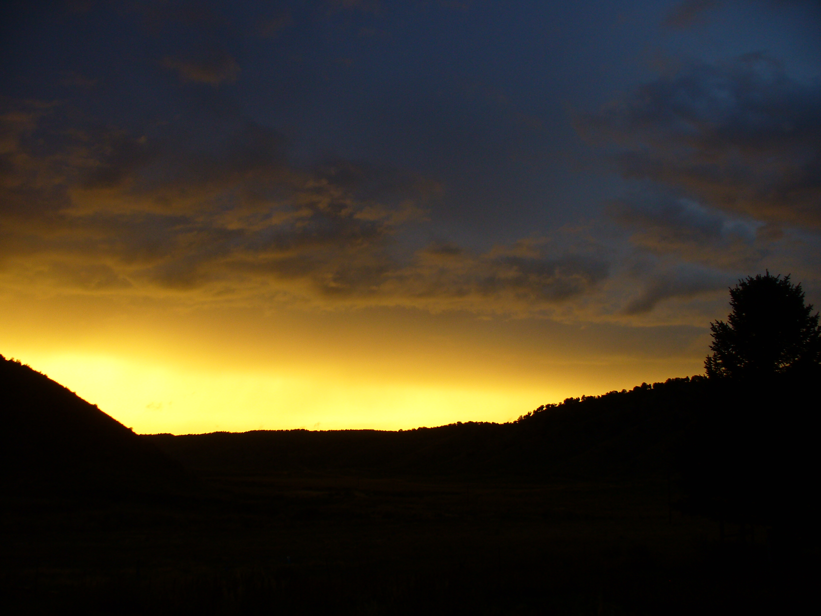
Little Hills sunset
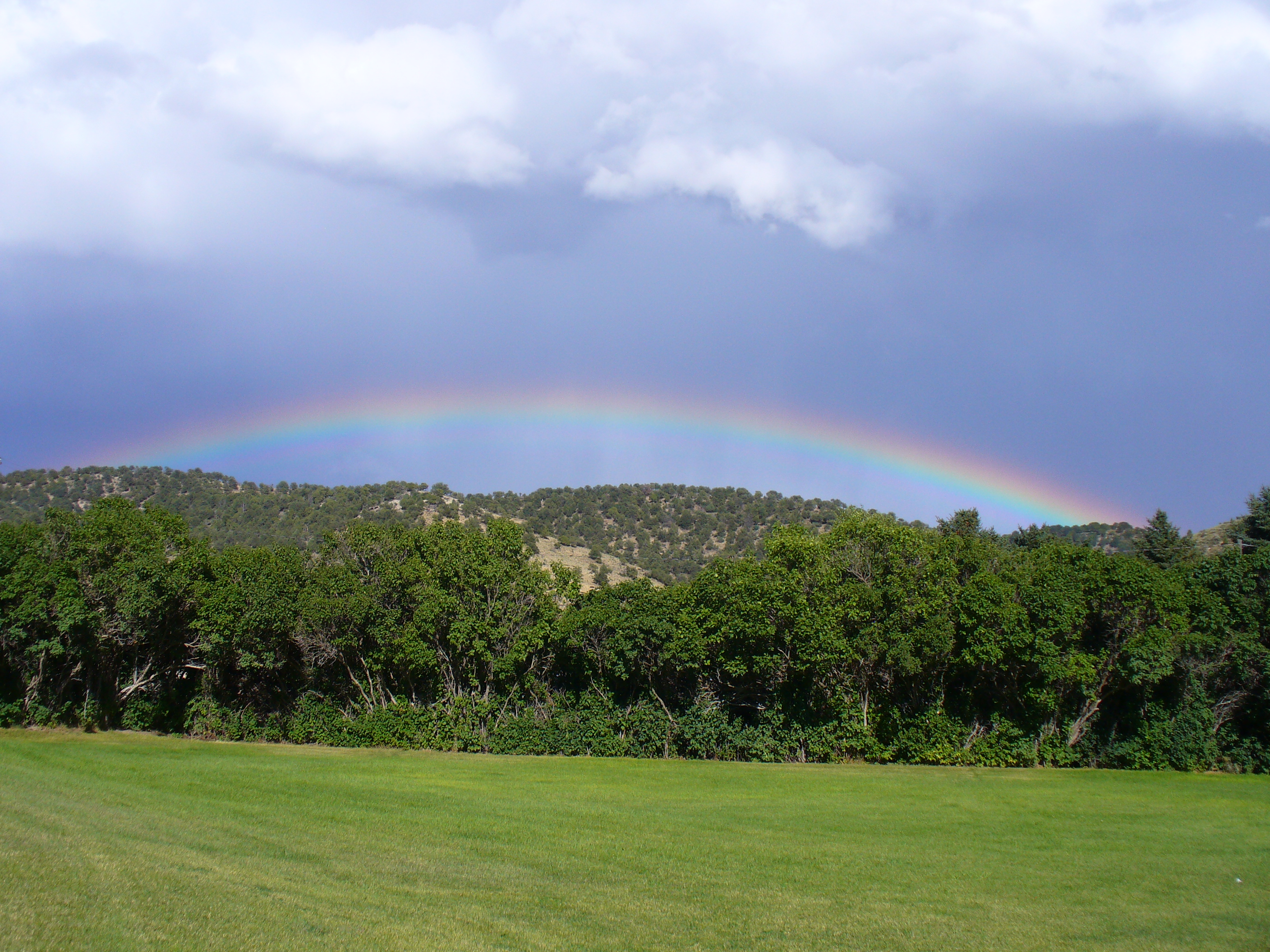
Little Hills rainbow
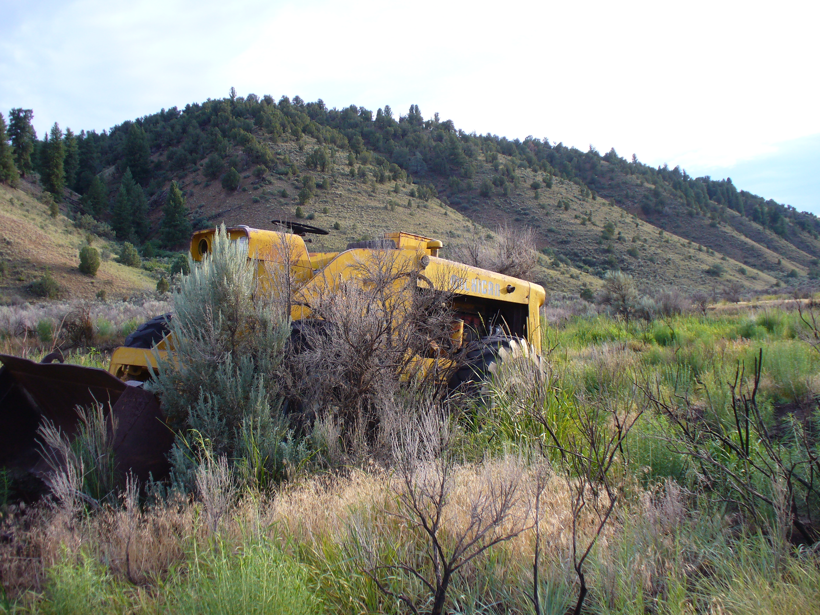
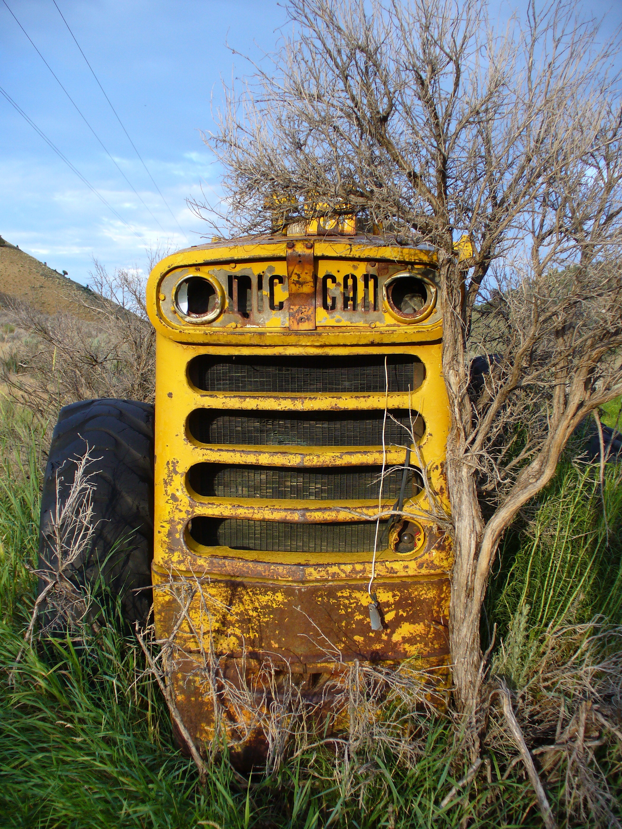
tractor vs sagebrush 7/2010c
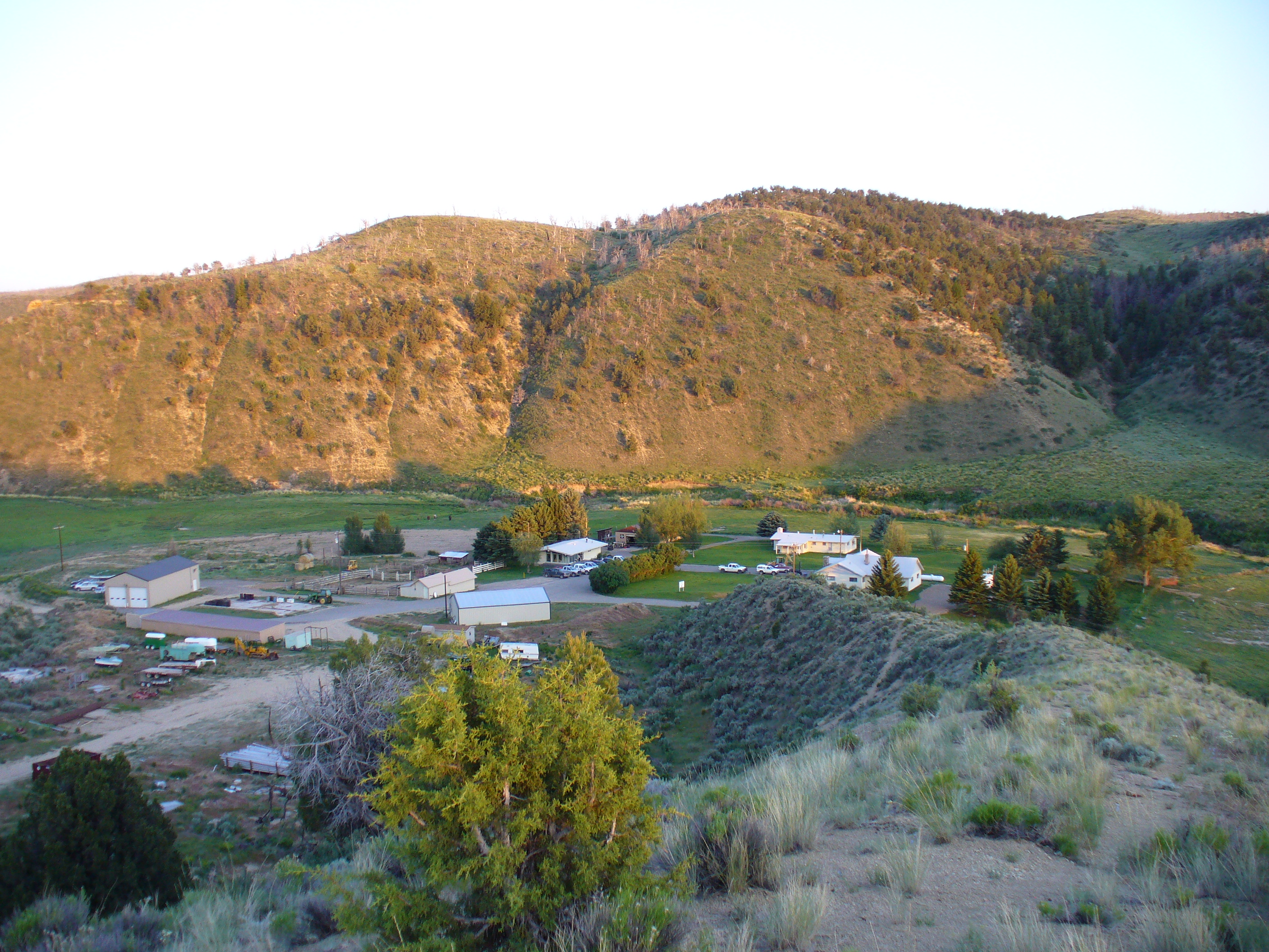
Little Hills Game Experiment Station 6/2010
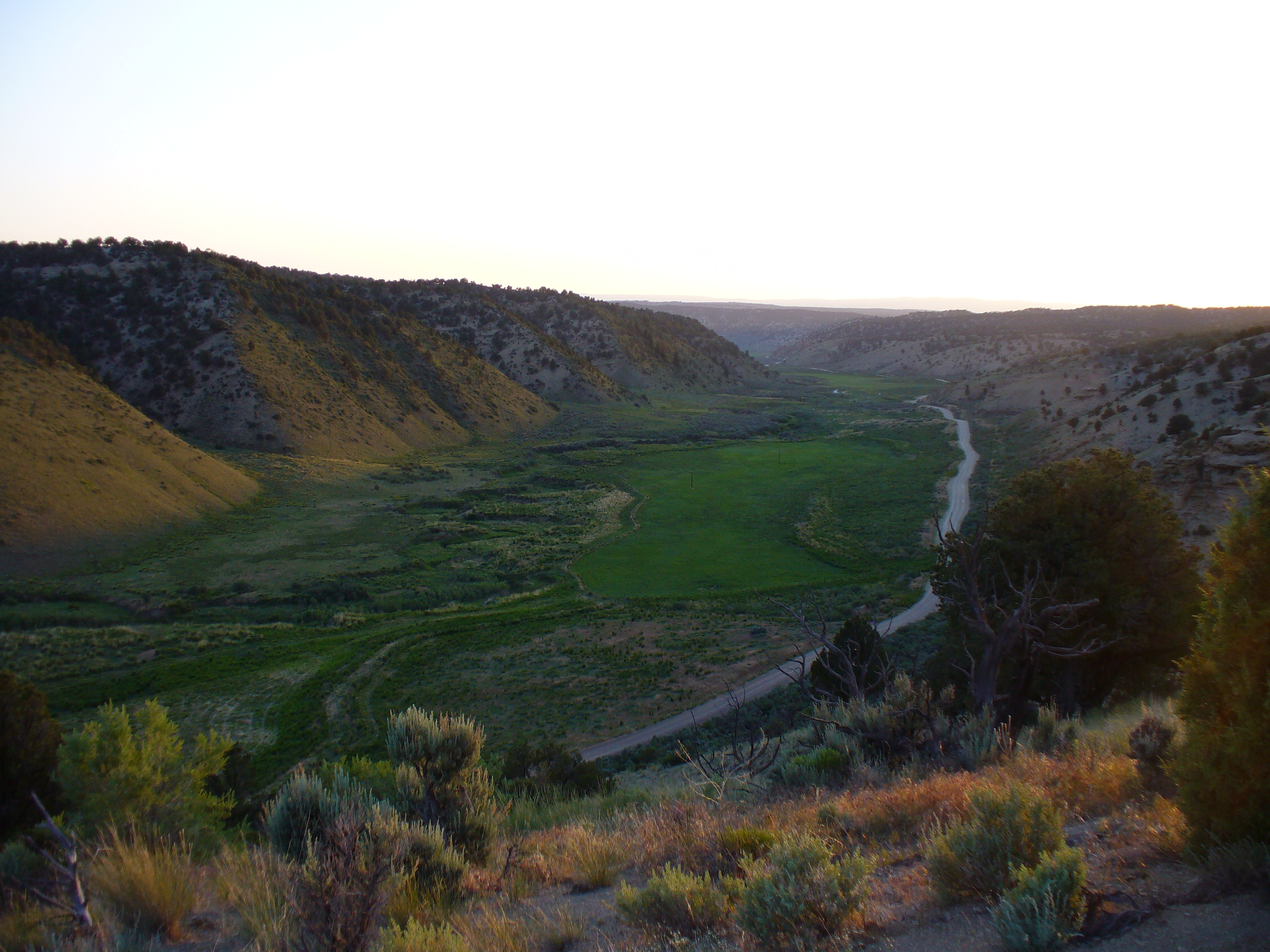
Little hills 6/2010
at the intersection of County Road 5 and 22

Heron on the White River

1st pumpkin pie

1st pumpkin

some cats

nomming my finger

The orange one

The siamese-looking one

the black one

dad, a mom, some kids

grinning radish
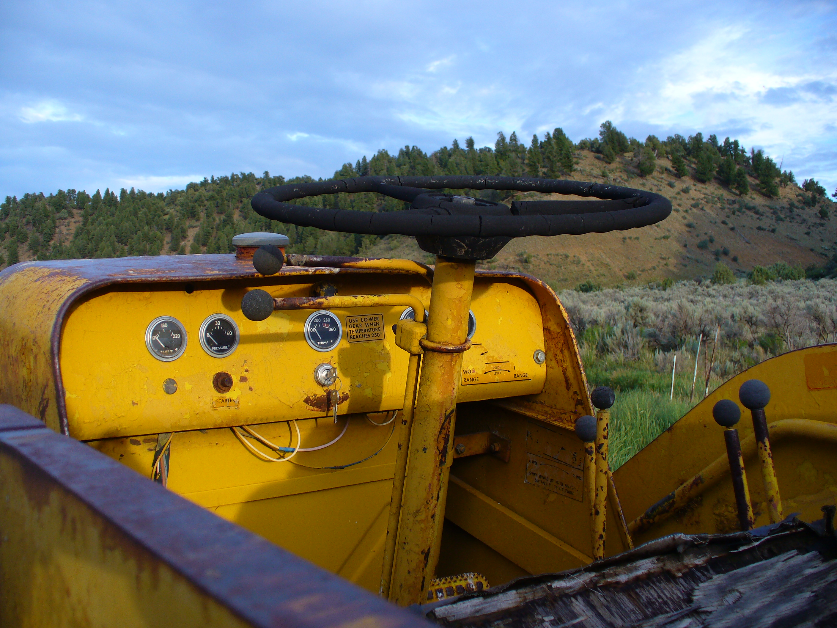
tractor vs sagebrush 7/2010d
tractor vs sagebrush 7/2010b

tractor vs sagebrush 7/2010a

hiding behind dad
Topographic Map of CO-64, Meeker, CO, USA
Find elevation by address:

Places near CO-64, Meeker, CO, USA:
White River City
Colorado 64
Rio Blanco County
Gray Hills Hp
Escarpment Peak
Elk Mountain Inn
Meeker
Devils Hole Mountain
Juniper Mountain
Unnamed Road
Cross Mountain Ranch
Maybell
8617 County Rd 8
Axial
CO-13, Meeker, CO, USA
Moffat County
Aldrich Lakes
Thornburgh Mountain
Sawmill Mountain
Three Points Mountain
Recent Searches:
- Elevation of Corso Fratelli Cairoli, 35, Macerata MC, Italy
- Elevation of Tallevast Rd, Sarasota, FL, USA
- Elevation of 4th St E, Sonoma, CA, USA
- Elevation of Black Hollow Rd, Pennsdale, PA, USA
- Elevation of Oakland Ave, Williamsport, PA, USA
- Elevation of Pedrógão Grande, Portugal
- Elevation of Klee Dr, Martinsburg, WV, USA
- Elevation of Via Roma, Pieranica CR, Italy
- Elevation of Tavkvetili Mountain, Georgia
- Elevation of Hartfords Bluff Cir, Mt Pleasant, SC, USA