Elevation of Colorado 64, CO-64, Meeker, CO, USA
Location: United States > Colorado > Rio Blanco County > White River City >
Longitude: -108.20559
Latitude: 40.0904035
Elevation: 1759m / 5771feet
Barometric Pressure: 82KPa
Elevation Map:
Satellite Map:
Related Photos:

little hills rainbow 2

Little Hills Game Experiment Station 6/2010

Little hills 6/2010

tractor vs sagebrush 7/2010c
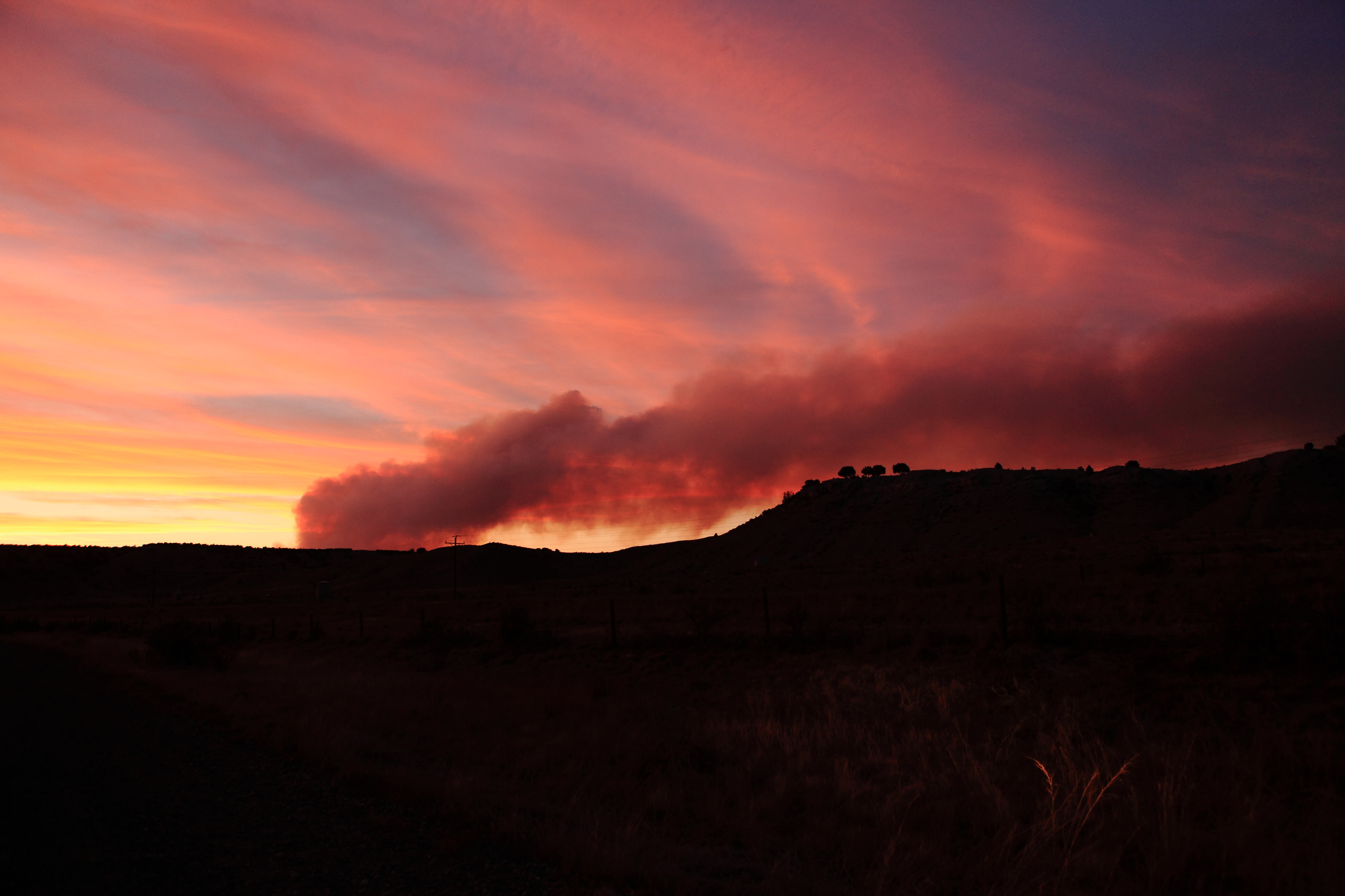
Sunset and a little smoke.........

Little Hills rainbow

Little Hills sunset
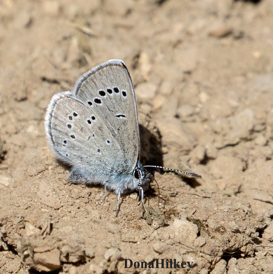
Silvery Blue

Snout and Bark Beetles Superfamily Curculionoidea

Paracotalpa granicollis

Least Tern

Least Tern

IMG_3093-#5-5aug2009-RBLake-

IMG_3098-#6-5aug2009-RBLake

IMG_6481-#6-8aug2010-RBLake

IMG_6483-#7-8aug2010-RBLake-

IMG_6627-13aug2010-RBLake-

IMG_7841.jpg

IMG_7840.jpg

Heron on the White River

1st pumpkin pie
Topographic Map of Colorado 64, CO-64, Meeker, CO, USA
Find elevation by address:

Places near Colorado 64, CO-64, Meeker, CO, USA:
CO-64, Meeker, CO, USA
White River City
Rio Blanco County
Gray Hills Hp
Escarpment Peak
Elk Mountain Inn
Meeker
Devils Hole Mountain
Juniper Mountain
Unnamed Road
8617 County Rd 8
Cross Mountain Ranch
Maybell
Axial
CO-13, Meeker, CO, USA
Aldrich Lakes
Thornburgh Mountain
Moffat County
Sawmill Mountain
Three Points Mountain
Recent Searches:
- Elevation of Corso Fratelli Cairoli, 35, Macerata MC, Italy
- Elevation of Tallevast Rd, Sarasota, FL, USA
- Elevation of 4th St E, Sonoma, CA, USA
- Elevation of Black Hollow Rd, Pennsdale, PA, USA
- Elevation of Oakland Ave, Williamsport, PA, USA
- Elevation of Pedrógão Grande, Portugal
- Elevation of Klee Dr, Martinsburg, WV, USA
- Elevation of Via Roma, Pieranica CR, Italy
- Elevation of Tavkvetili Mountain, Georgia
- Elevation of Hartfords Bluff Cir, Mt Pleasant, SC, USA