Elevation of Elyria Rd, West Salem, OH, USA
Location: United States > Ohio > Wayne County > Chester Township >
Longitude: -82.1087223
Latitude: 40.8781853
Elevation: 351m / 1152feet
Barometric Pressure: 0KPa
Related Photos:

Sabine's Gull

Sabine's Gull

Sabine's Gull
09/15/2009 | Mohican Hills #11

Buff-breasted Sandpiper

Sabine's Gull
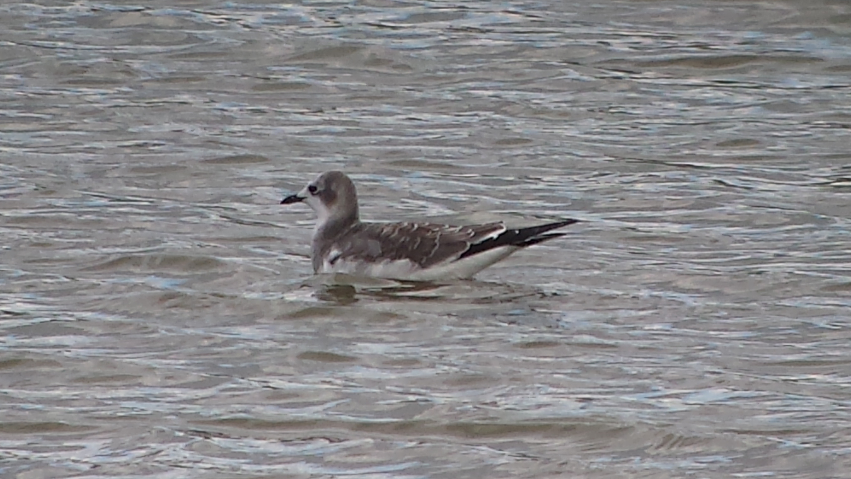
Sabine's Gull

Wilson's Phalarope
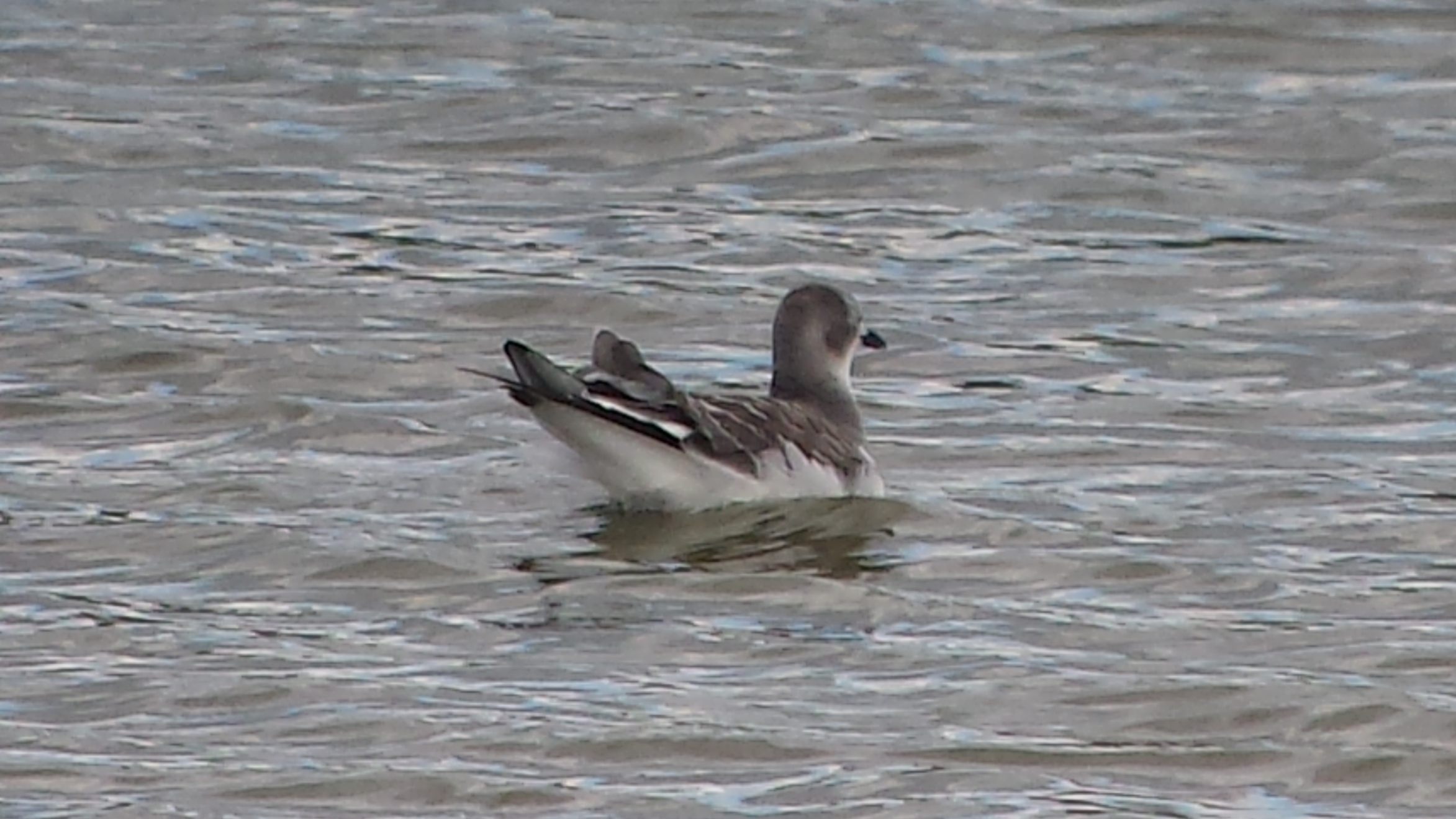
Sabine's Gull

Short-billed Dowitchers (with Pectoral Sandpipers)

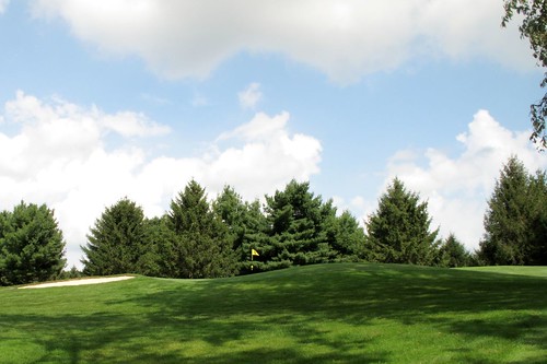
Tire View

Country View
26/365 - November 21st, 2009
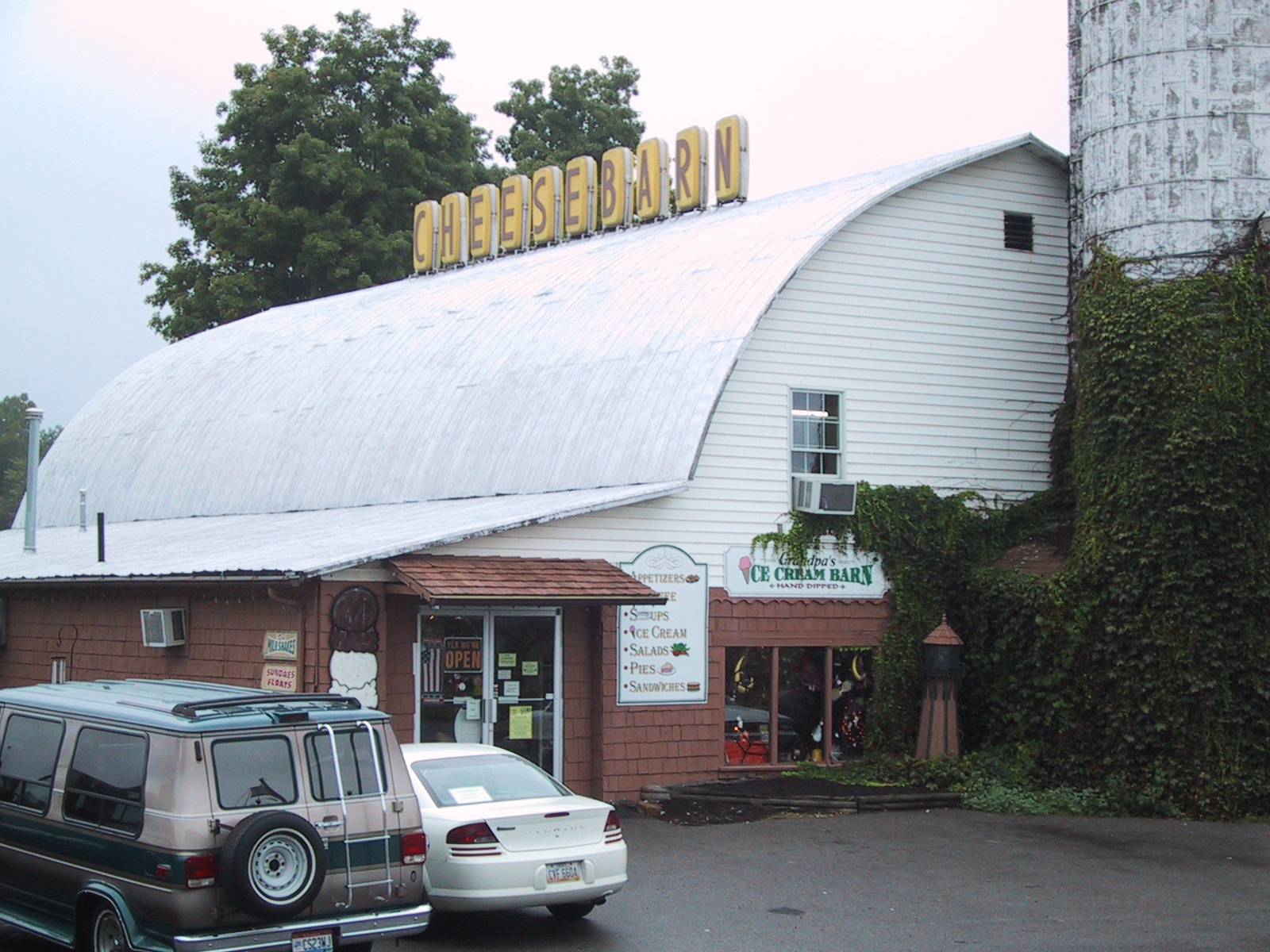
Cheesebarn Exterior 2

Short-billed Dowitcher

Stilt Sandpipers

Short-billed Dowitcher

Short-billed Dowitcher (front) with Pectoral Sandpiper (back)

Short-billed Dowitcher (front) with Pectoral Sandpiper (back)

Short-billed Dowitcher

American Golden-Plovers (with Lesser Yellowlegs)

Storm Coming (Explored)
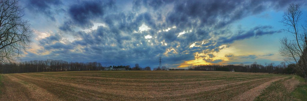
Panoramic Sky

The End of the Rainbow

The Corn

Bliss Scape (Explored)
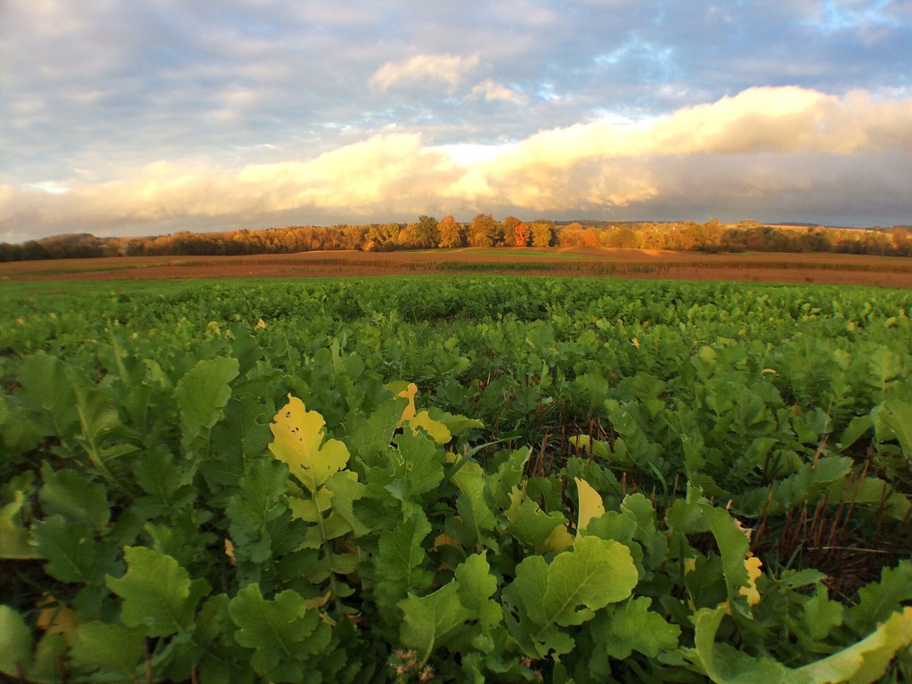
Fall Farmscape

A New Dawn Appears

Good Morning (Explored)

Something Wicked This Way Comes
"Your word is a lamp to my feet and a light to my path."

Morning Tree Rise

Steal Across the Sky (Explored)

Good Morning

Dueling Forces
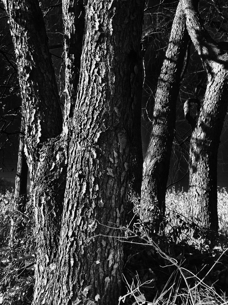
The Gang of Trees

Lonely Ohio Road
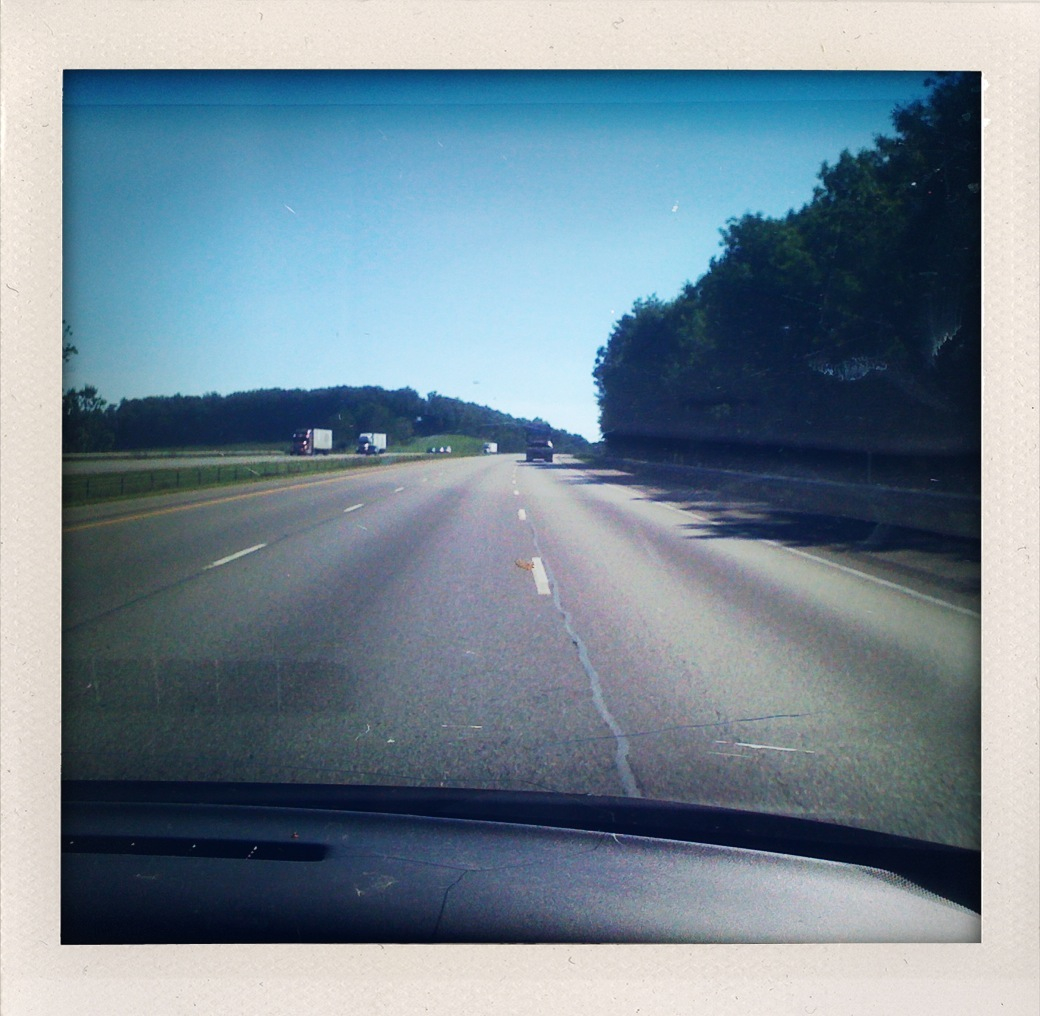
I-71 is Boring

Somewhere, Over the Rainbow (Explored)

SunSetScape (Explored)

Sun Bale

Tree Reflections Panorama (Explored)
Topographic Map of Elyria Rd, West Salem, OH, USA
Find elevation by address:

Places near Elyria Rd, West Salem, OH, USA:
4911 Camp Rd
Easton Rd, Rittman, OH, USA
N Elyria Rd, Wooster, OH, USA
New Pittsburg
84 Co Rd 1100
Chester Township
Ashland Co Rd, Polk, OH, USA
Congress Township
Perry Township
5728 Cedar Valley Rd
1251 Oh-89
Jeromesville
20 N High St, Jeromesville, OH, USA
Jackson Township
W Old Lincoln Way, Wooster, OH, USA
W Congress St, Polk, OH, USA
Polk
12029 Gearhart Rd
1573 Co Rd 1575
Pleasant Home Rd, Burbank, OH, USA
Recent Searches:
- Elevation of 10370, West 107th Circle, Westminster, Jefferson County, Colorado, 80021, USA
- Elevation of 611, Roman Road, Old Ford, Bow, London, England, E3 2RW, United Kingdom
- Elevation of 116, Beartown Road, Underhill, Chittenden County, Vermont, 05489, USA
- Elevation of Window Rock, Colfax County, New Mexico, 87714, USA
- Elevation of 4807, Rosecroft Street, Kempsville Gardens, Virginia Beach, Virginia, 23464, USA
- Elevation map of Matawinie, Quebec, Canada
- Elevation of Sainte-Émélie-de-l'Énergie, Matawinie, Quebec, Canada
- Elevation of Rue du Pont, Sainte-Émélie-de-l'Énergie, Matawinie, Quebec, J0K2K0, Canada
- Elevation of 8, Rue de Bécancour, Blainville, Thérèse-De Blainville, Quebec, J7B1N2, Canada
- Elevation of Wilmot Court North, 163, University Avenue West, Northdale, Waterloo, Region of Waterloo, Ontario, N2L6B6, Canada
- Elevation map of Panamá Province, Panama
- Elevation of Balboa, Panamá Province, Panama
- Elevation of San Miguel, Balboa, Panamá Province, Panama
- Elevation of Isla Gibraleón, San Miguel, Balboa, Panamá Province, Panama
- Elevation of 4655, Krischke Road, Schulenburg, Fayette County, Texas, 78956, USA
- Elevation of Carnegie Avenue, Downtown Cleveland, Cleveland, Cuyahoga County, Ohio, 44115, USA
- Elevation of Walhonding, Coshocton County, Ohio, USA
- Elevation of Clifton Down, Clifton, Bristol, City of Bristol, England, BS8 3HU, United Kingdom
- Elevation map of Auvergne-Rhône-Alpes, France
- Elevation map of Upper Savoy, Auvergne-Rhône-Alpes, France