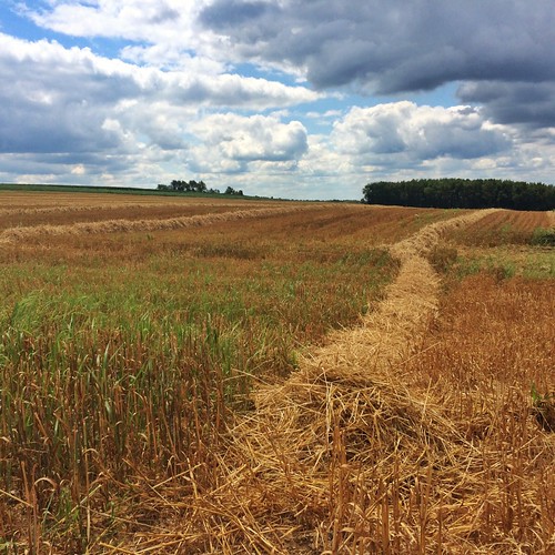
Elevation of Jeromesville, OH, USA
Location: United States > Ohio > Ashland County > Mohican Township >
Longitude: -82.195712
Latitude: 40.8042238
Elevation: 307m / 1007feet
Barometric Pressure: 98KPa
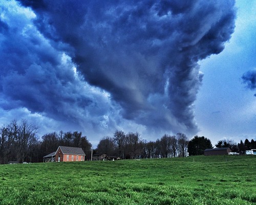
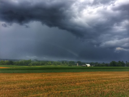
Related Photos:
Topographic Map of Jeromesville, OH, USA
Find elevation by address:

Places in Jeromesville, OH, USA:
Places near Jeromesville, OH, USA:
20 N High St, Jeromesville, OH, USA
1573 Co Rd 1575
Ashland Co Rd, Ashland, OH, USA
Montgomery Township
Perry Township
1251 Oh-89
4911 Camp Rd
Ashland Co Rd, Polk, OH, USA
N Elyria Rd, Wooster, OH, USA
New Pittsburg
84 Co Rd 1100
Elyria Rd, West Salem, OH, USA
Easton Rd, Rittman, OH, USA
Polk
W Congress St, Polk, OH, USA
Chester Township
Jackson Township
W Old Lincoln Way, Wooster, OH, USA
5728 Cedar Valley Rd
Congress Township
Recent Searches:
- Elevation of Corso Fratelli Cairoli, 35, Macerata MC, Italy
- Elevation of Tallevast Rd, Sarasota, FL, USA
- Elevation of 4th St E, Sonoma, CA, USA
- Elevation of Black Hollow Rd, Pennsdale, PA, USA
- Elevation of Oakland Ave, Williamsport, PA, USA
- Elevation of Pedrógão Grande, Portugal
- Elevation of Klee Dr, Martinsburg, WV, USA
- Elevation of Via Roma, Pieranica CR, Italy
- Elevation of Tavkvetili Mountain, Georgia
- Elevation of Hartfords Bluff Cir, Mt Pleasant, SC, USA
