Elevation of Easton Rd, Rittman, OH, USA
Location: United States > Ohio > Wayne County > Congress Township >
Longitude: -82.110003
Latitude: 40.915927
Elevation: 323m / 1060feet
Barometric Pressure: 98KPa
Elevation Map:
Satellite Map:
Related Photos:

Country View

Ohio Station Outlets

Autumn foliage.

Tire View

09/15/2009 | Mohican Hills #11
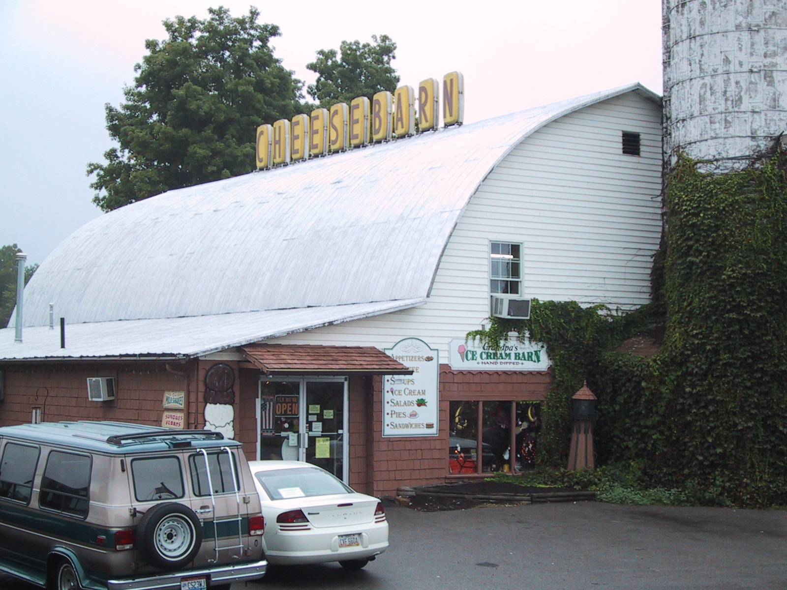
Cheesebarn Exterior 2

Storm Coming (Explored)

Panoramic Sky

The End of the Rainbow

Mossy Forest

Bliss Scape (Explored)

Little Red School Home

A New Dawn Appears
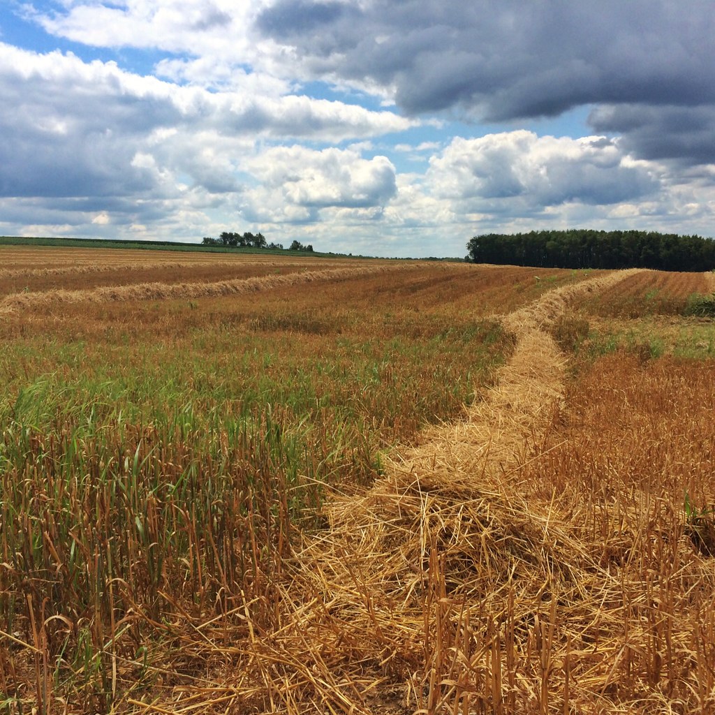
Hay Line Down the Field

Something Wicked This Way Comes

This Is the Day The Lord Has Made. Let Us Rejoice and Be Glad in It. (Explored)

Wet Forest Reflections at Sunrise

Morning Tree Rise

Oh, What a Beautiful Mornin'!

Good Morning

Our Wildflower Garden at Dusk

The Gang of Trees

Dark Trees

Black Skies

I-71 is Boring

A River Runs Through It

Harvest Is Past
Topographic Map of Easton Rd, Rittman, OH, USA
Find elevation by address:

Places near Easton Rd, Rittman, OH, USA:
84 Co Rd 1100
Elyria Rd, West Salem, OH, USA
Ashland Co Rd, Polk, OH, USA
Congress Township
4911 Camp Rd
Chester Township
N Elyria Rd, Wooster, OH, USA
New Pittsburg
Perry Township
Jackson Township
1251 Oh-89
W Congress St, Polk, OH, USA
Polk
5728 Cedar Valley Rd
12029 Gearhart Rd
Pleasant Home Rd, Burbank, OH, USA
Jeromesville
20 N High St, Jeromesville, OH, USA
W Old Lincoln Way, Wooster, OH, USA
1573 Co Rd 1575
Recent Searches:
- Elevation of Corso Fratelli Cairoli, 35, Macerata MC, Italy
- Elevation of Tallevast Rd, Sarasota, FL, USA
- Elevation of 4th St E, Sonoma, CA, USA
- Elevation of Black Hollow Rd, Pennsdale, PA, USA
- Elevation of Oakland Ave, Williamsport, PA, USA
- Elevation of Pedrógão Grande, Portugal
- Elevation of Klee Dr, Martinsburg, WV, USA
- Elevation of Via Roma, Pieranica CR, Italy
- Elevation of Tavkvetili Mountain, Georgia
- Elevation of Hartfords Bluff Cir, Mt Pleasant, SC, USA