Elevation of 20 N High St, Jeromesville, OH, USA
Location: United States > Ohio > Ashland County > Mohican Township > Jeromesville >
Longitude: -82.195839
Latitude: 40.8042143
Elevation: 307m / 1007feet
Barometric Pressure: 98KPa
Elevation Map:
Satellite Map:
Related Photos:
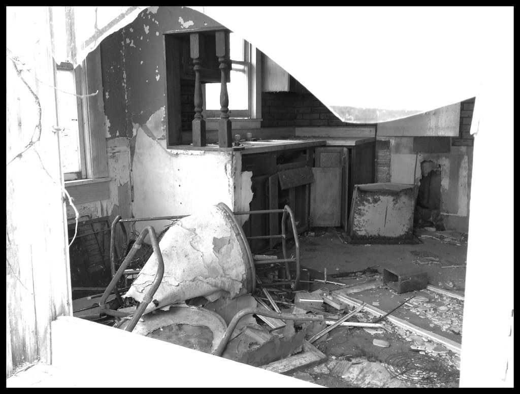
View Through Broken Window of Abandoned House
Tire View

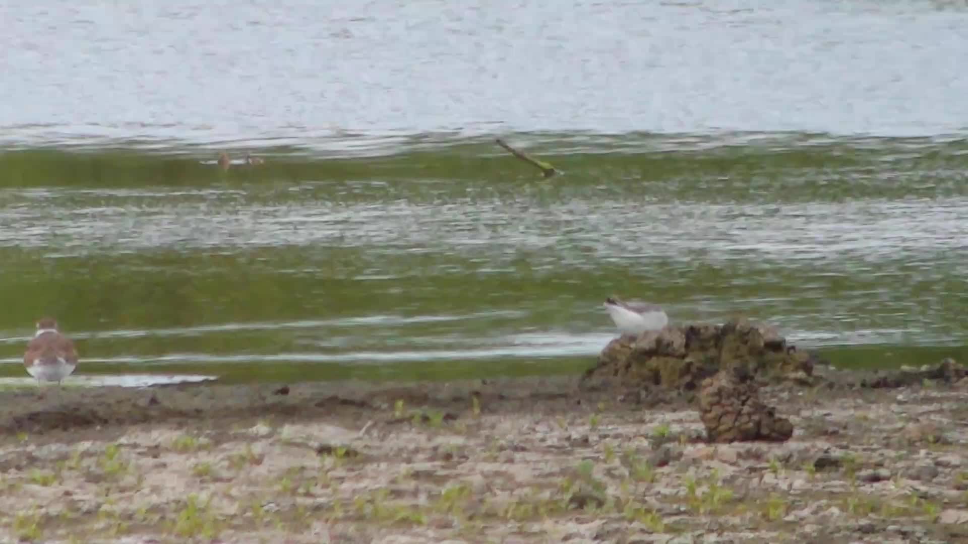
American Golden-Plovers (with Lesser Yellowlegs)

Sabine's Gull

View into the Susaphone
Sabine's Gull

Home sweet home
09/15/2009 | Mohican Hills #11

View from the Sports Sciences Building

Buff-breasted Sandpiper
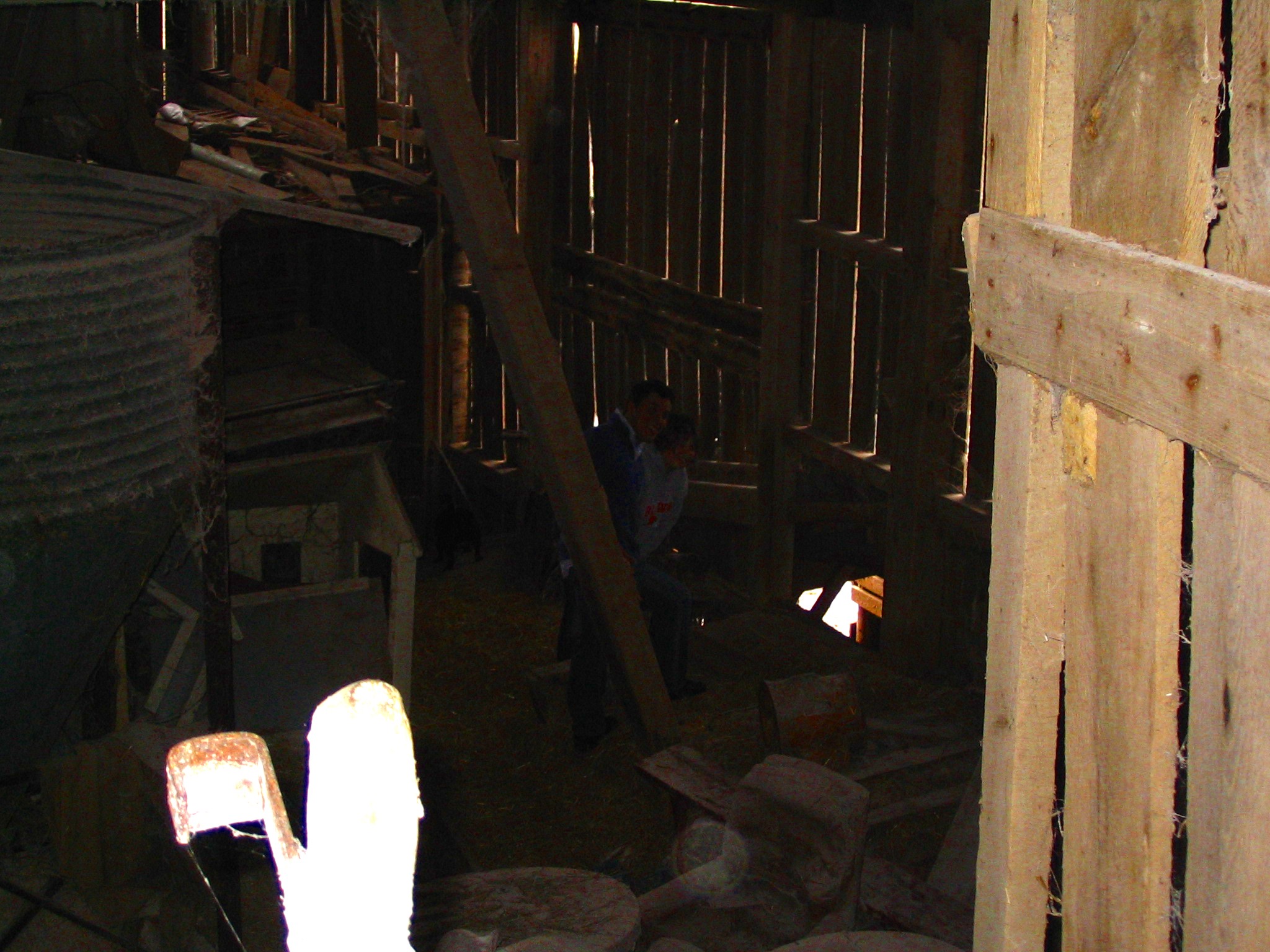
View from the hayloft

Fleeing to the Cleve with a...
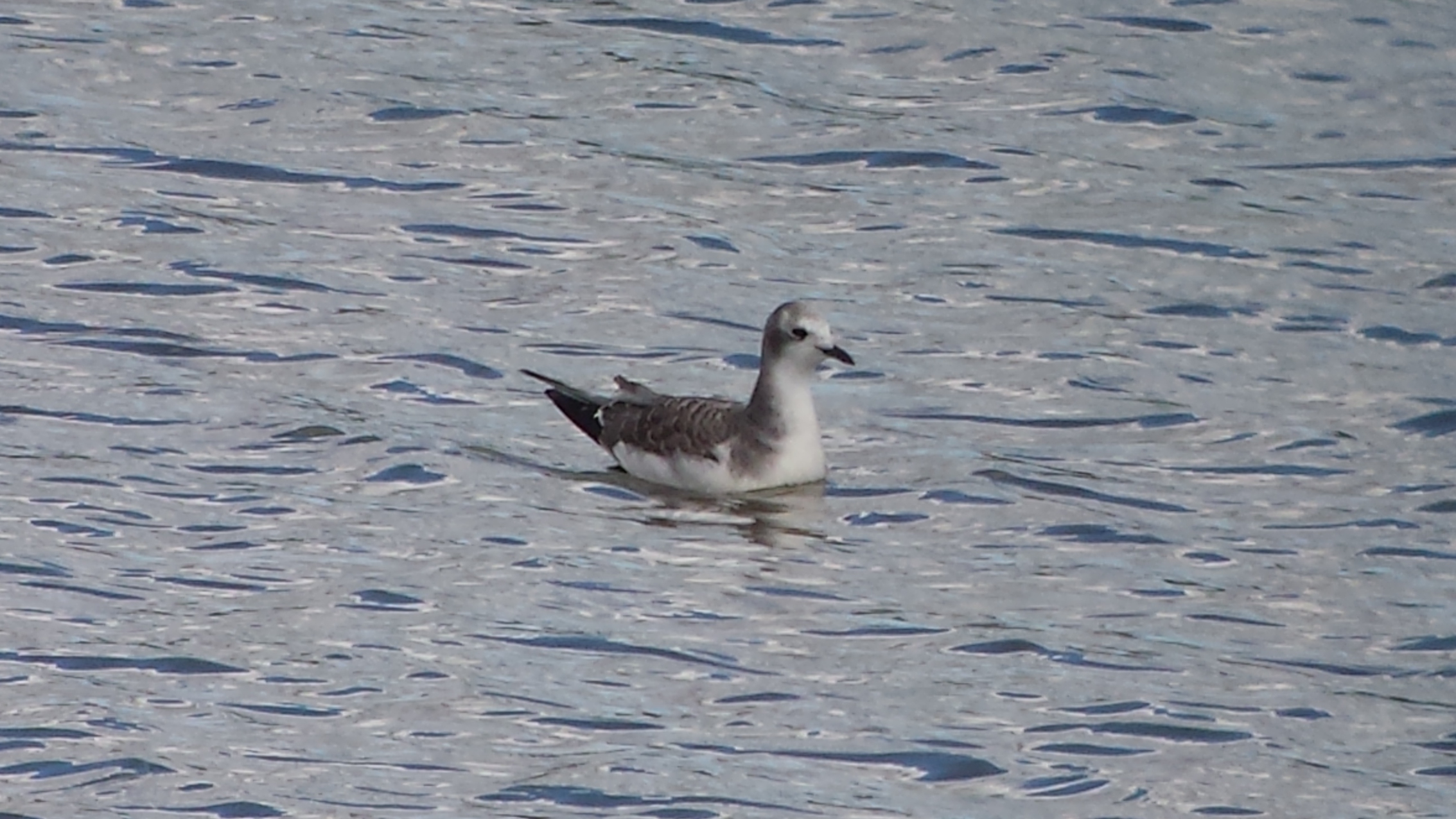
Sabine's Gull
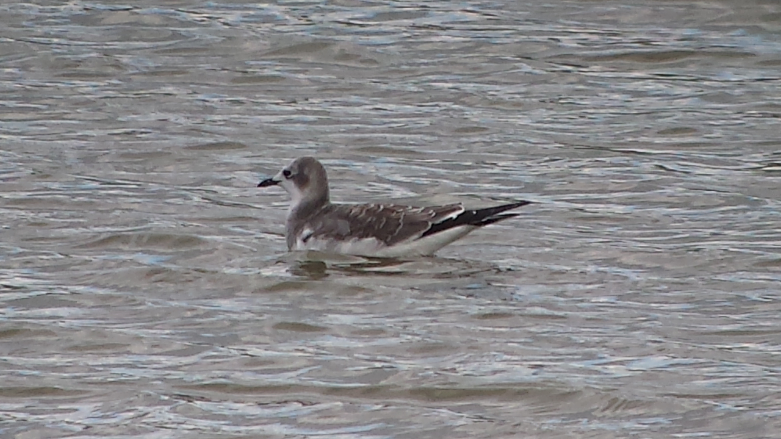
Sabine's Gull

Wilson's Phalarope
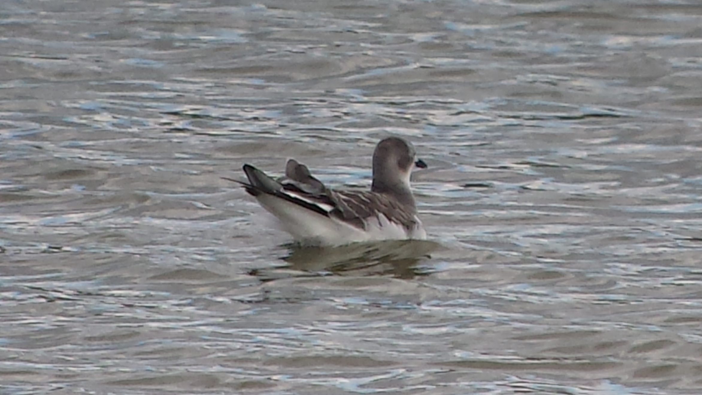
Sabine's Gull
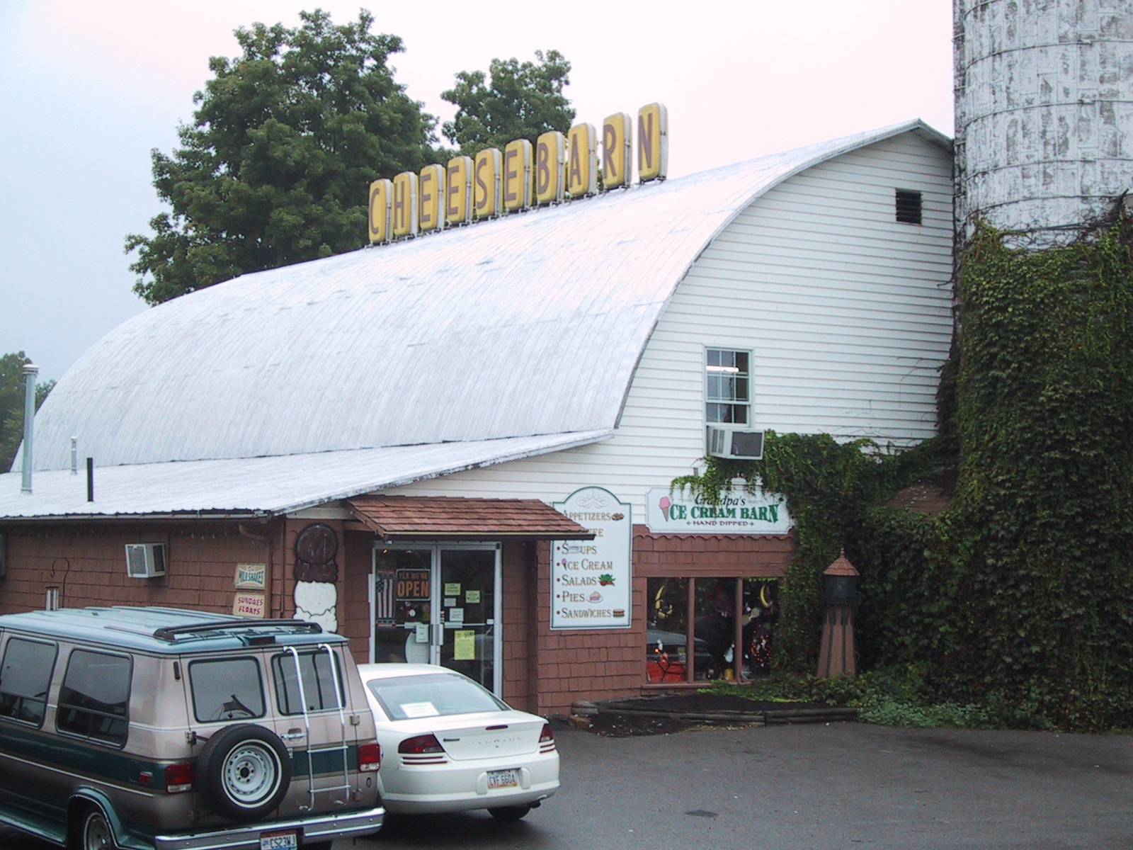
Cheesebarn Exterior 2

Home sweet home

Home sweet home

Sabine's Gull (video shows a few wing flaps)
Wilson's Phalarope
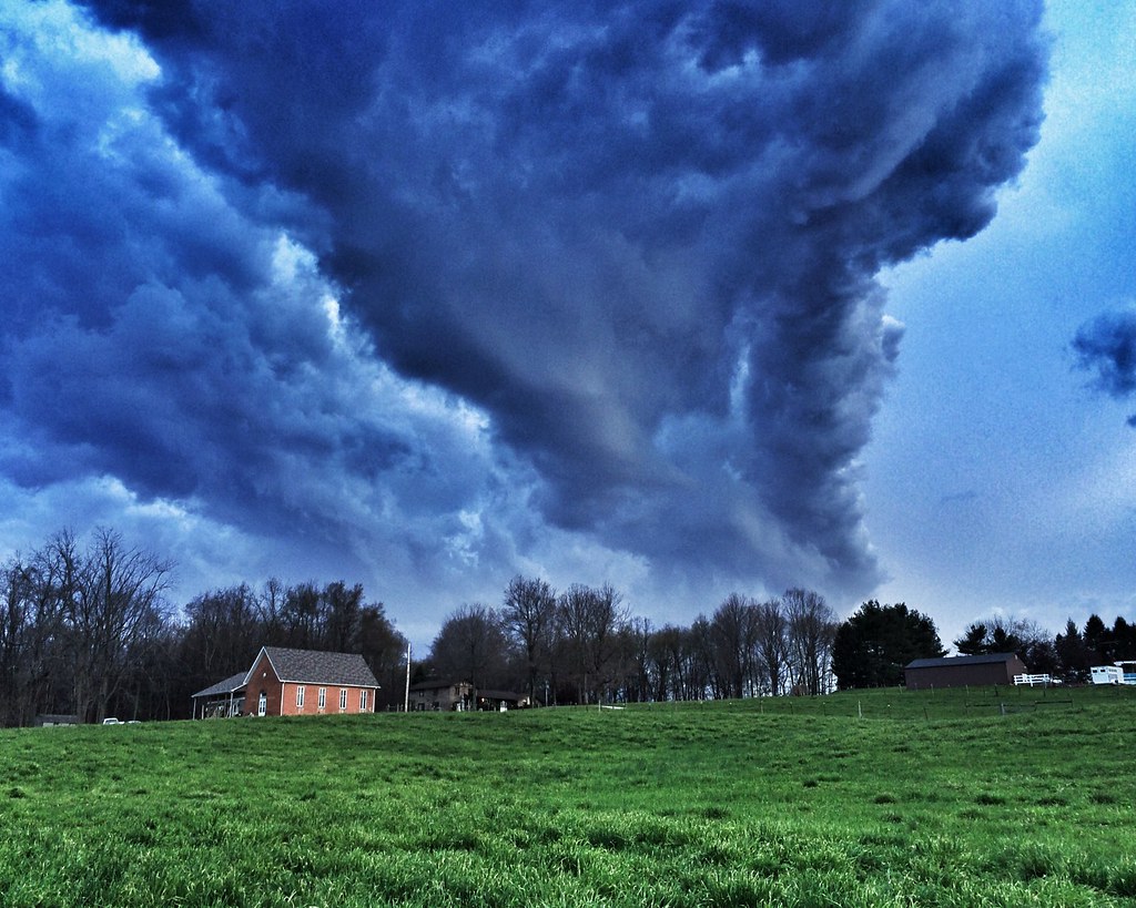
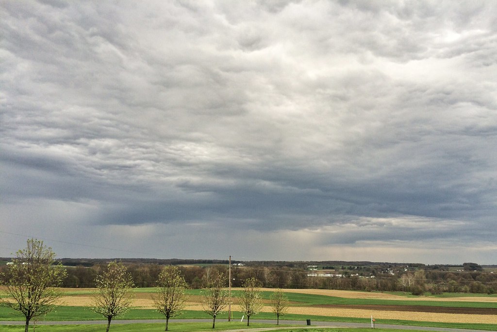
Storm Coming (Explored)
The End of the Rainbow

Somewhere, Over the Rainbow (Explored)

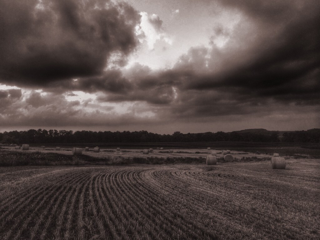
Sun Bale
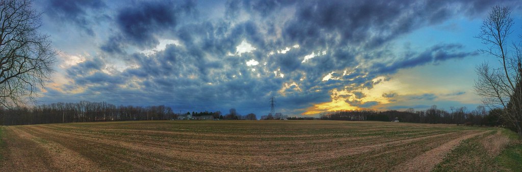
Panoramic Sky

Islands In the Stream

This Is the Day The Lord Has Made. Let Us Rejoice and Be Glad in It. (Explored)
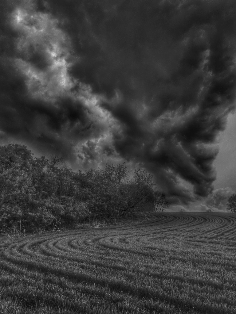
Something Wicked This Way Comes
Steal Across the Sky (Explored)
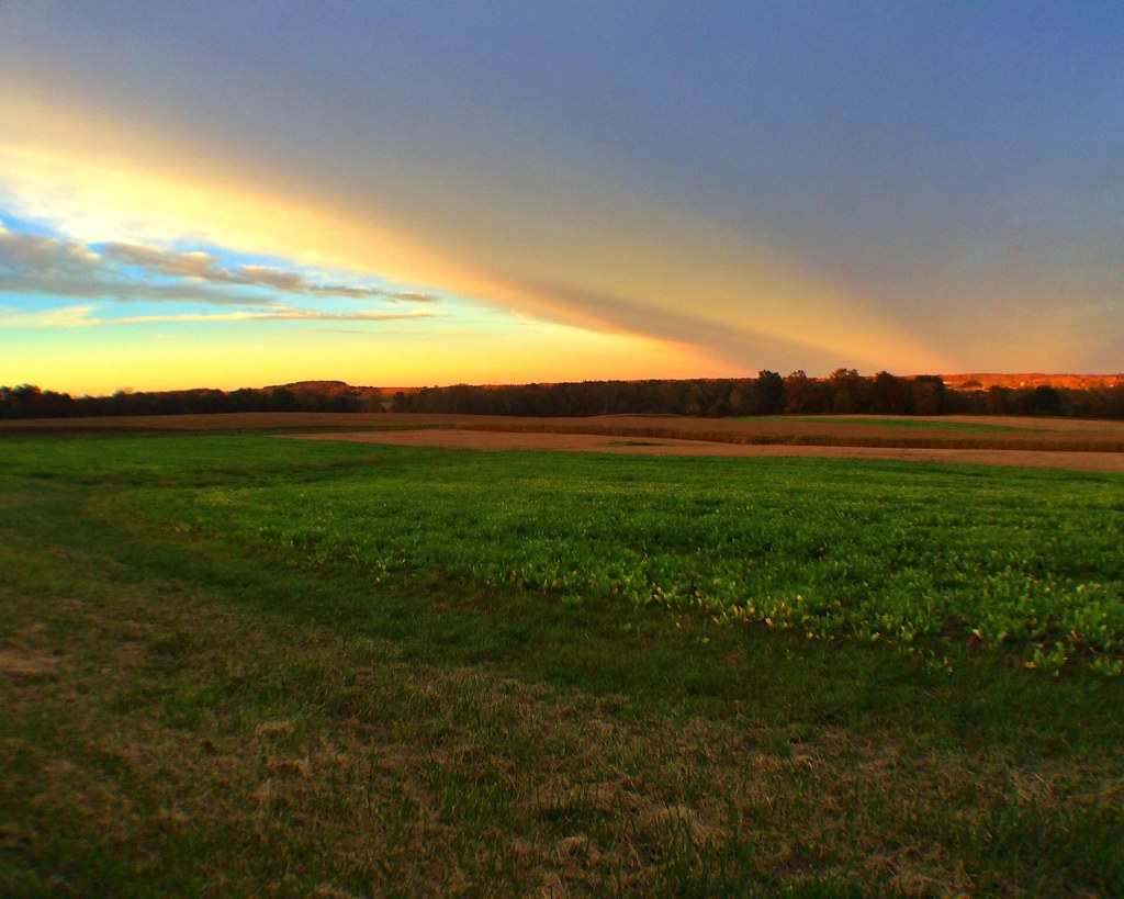
Oh, What a Beautiful Mornin'!

Tree Reflections Panorama (Explored)
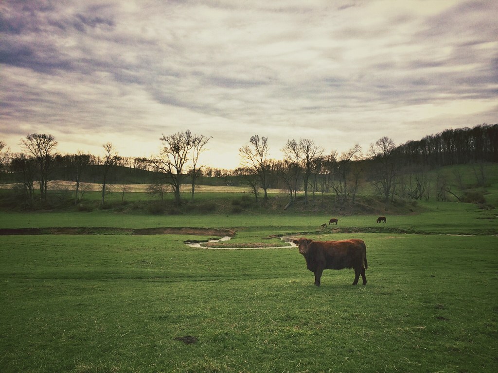
Cowscape (Explored)
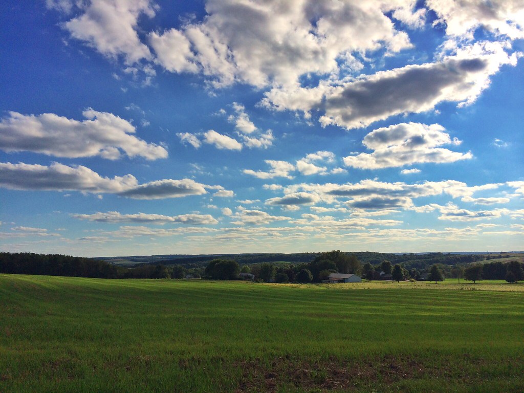
Bliss Scape (Explored)
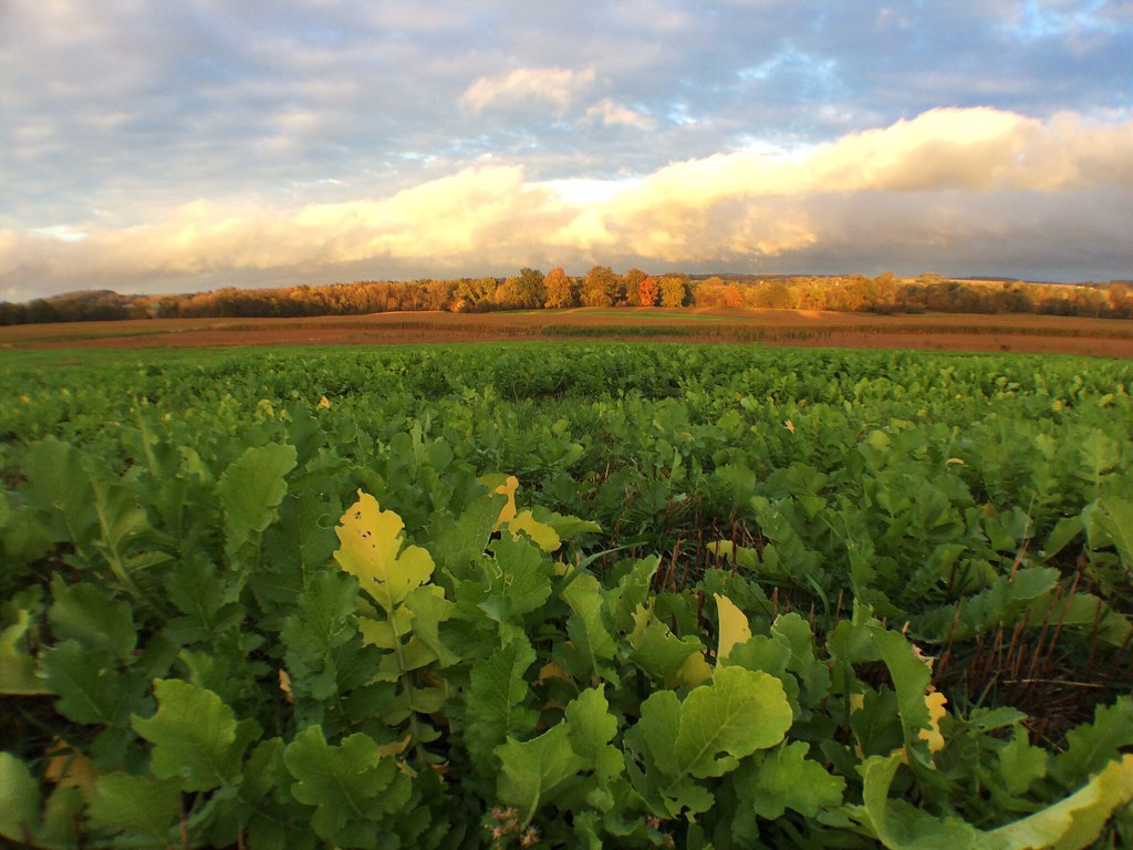
Fall Farmscape
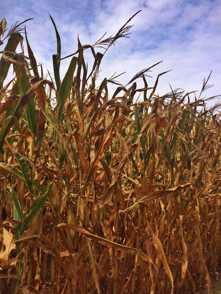
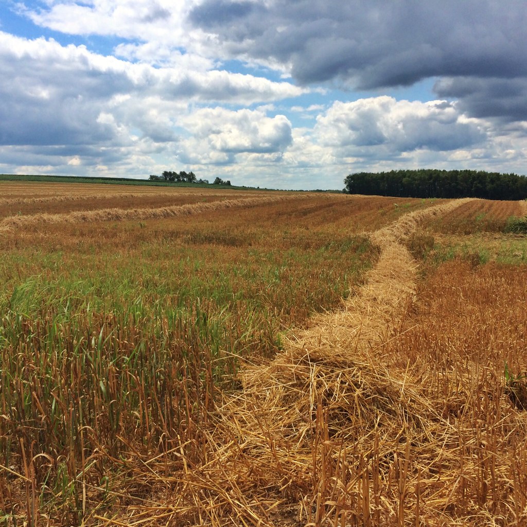
The Corn
SunSetScape (Explored)
Field of Dreams (Explored)

Little Red School Home
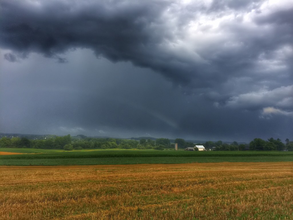
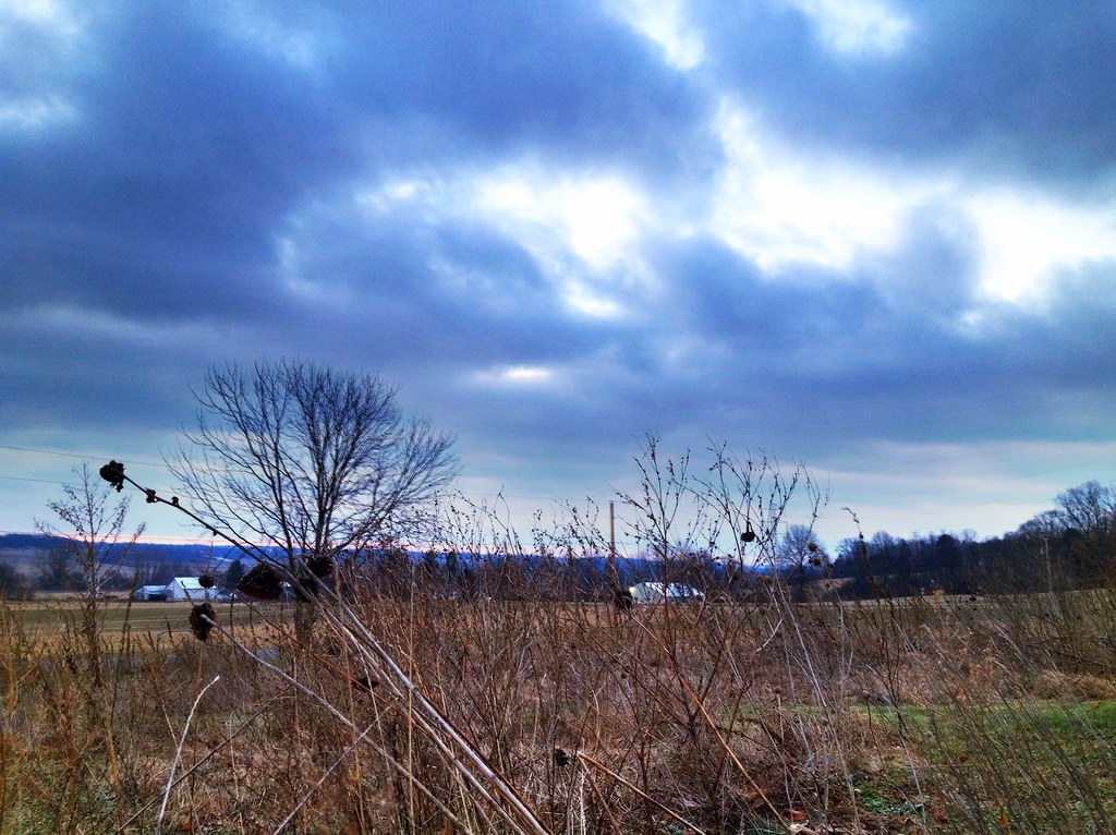
Morning Rains
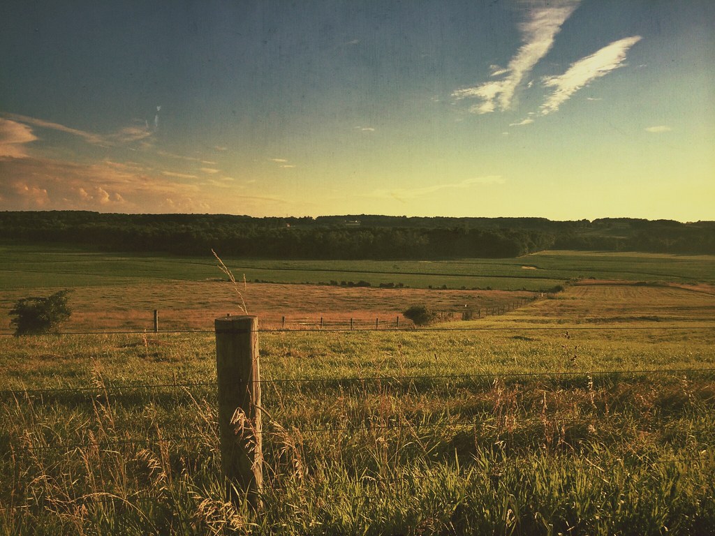
Hay Line Down the Field

Lonely Tree
Topographic Map of 20 N High St, Jeromesville, OH, USA
Find elevation by address:

Places near 20 N High St, Jeromesville, OH, USA:
Jeromesville
1573 Co Rd 1575
Ashland Co Rd, Ashland, OH, USA
Montgomery Township
Perry Township
1251 Oh-89
4911 Camp Rd
Ashland Co Rd, Polk, OH, USA
N Elyria Rd, Wooster, OH, USA
New Pittsburg
84 Co Rd 1100
Elyria Rd, West Salem, OH, USA
Easton Rd, Rittman, OH, USA
Polk
W Congress St, Polk, OH, USA
Chester Township
Jackson Township
W Old Lincoln Way, Wooster, OH, USA
5728 Cedar Valley Rd
Congress Township
Recent Searches:
- Elevation of Corso Fratelli Cairoli, 35, Macerata MC, Italy
- Elevation of Tallevast Rd, Sarasota, FL, USA
- Elevation of 4th St E, Sonoma, CA, USA
- Elevation of Black Hollow Rd, Pennsdale, PA, USA
- Elevation of Oakland Ave, Williamsport, PA, USA
- Elevation of Pedrógão Grande, Portugal
- Elevation of Klee Dr, Martinsburg, WV, USA
- Elevation of Via Roma, Pieranica CR, Italy
- Elevation of Tavkvetili Mountain, Georgia
- Elevation of Hartfords Bluff Cir, Mt Pleasant, SC, USA