Elevation of Polk, OH, USA

Location: United States > Ohio > Ashland County > Perry Township >

Longitude: -82.215436

Latitude: 40.9445003

Elevation: 385m / 1263feet

Barometric Pressure: 97KPa

Elevation Map:

elevation map of Polk, OH, USA

Satellite Map:

Satellite map of Polk, OH, USA

Related Photos:

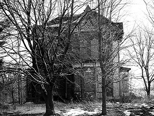
abandoned decay urbanexploring urbex
Almost Hidden
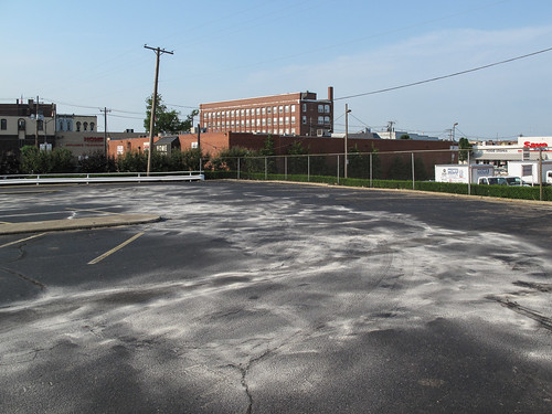
ohio june fence buildings landscape parkinglot downtown view landscaping parking chainlink powerlines trucks stains chainlinkfence guardrail asphalt telephonepoles bushes ashland shrubs 2009 shrubbery brickbuilding blacktop urbanlandscape paved homehardware parkingspaces crackedpavement utilitypoles savealot img0027 crackedasphalt ashlandohio pavementcracks ohiolandscape northernohio ashlandcounty whitestains northohio 20090624 ashlandcountyohio asphaltpaving june2009 downtownashland northcentralohio landscapingshrubbery asphaltcracks parkinglotlandscape ashlandlandscape lutherstreet crackedblacktop blacktopcracks stainedasphalt stainedblacktop diagonalparkingspaces
A view upon the city of Ashland, Ohio.
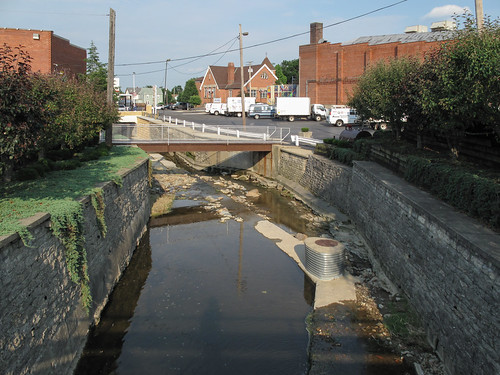
bridge ohio church june creek buildings river landscape vines stream downtown view landscaping powerlines vans trucks walls lightpoles telephonepoles sewer ashland 2009 myshadow waterway urbanlandscape pedestrianbridge urbancreek sewerpipe deliverytrucks utilitypoles urbanstream ashlandohio img0023 ohiolandscape northernohio ashlandcounty northohio 20090624 deliveryvehicles ashlandcountyohio urbanwaterway june2009 downtownashland blockwalls townrun parkedtrucks northcentralohio northernohiolandscape northohiolandscape ashlandlandscape parkedvans lutherstreet
The creek named "Town Run" would be a quarter or less as exciting if it didn't have a city built up around it.
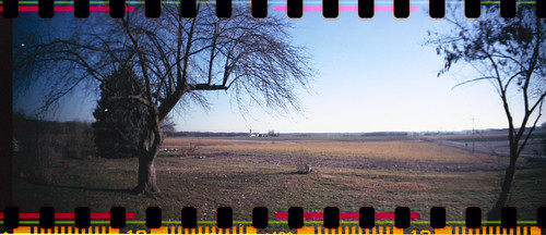
winter ohio panorama lomo lomography sprocketrocket
Country View
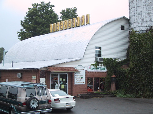
ohio cheese ashland cheesebarn
Cheesebarn Exterior 2
Bliss Scape (Explored)
day cloudy
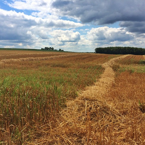
Hay Line Down the Field
sunset pwpartlycloudy
Sunset Sky
panasonicfz1000 depthoffield bokeh closeup nature outdoor serene landscape dragonfly odonata snakedoctor perch macro insect wings lake pond bog marsh swamp
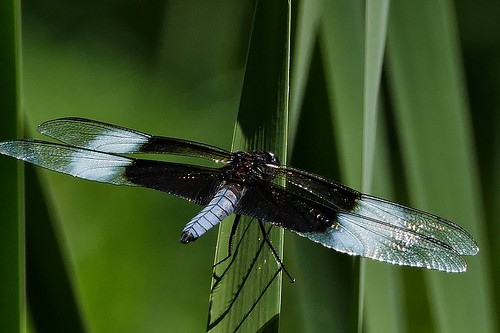
WIDOW SKIMMER DRAGONFLY...ASHLAND COUNTY, OHIO
ohio sky storm black weather clouds dark pond skies farm
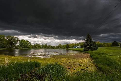
Black Skies
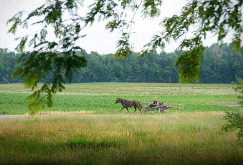
ohio summer horse green wagon landscape amish ladder
Amish ladder wagon
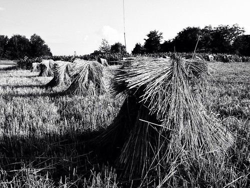
summer usa landscape farm haystack oh hay sullivan
Hay Stacks
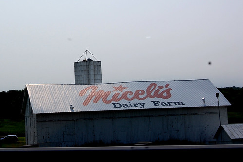
roof ohio building sign june tom landscape nikon farm midohio 2011 d40 roofsign
Mid Ohio June 2011
SunSetScape (Explored)
Storm Coming (Explored)
originalfilter uploaded:by=flickrmobile flickriosapp:filter=original
Magical Tree
Something Wicked This Way Comes
Mossy Forest
a quick sunset
It's Not Easy Bein' Green
uploaded:by=flickrmobile flickriosapp:filter=nofilter
Amish Harvest
Dark Trees
farm barn rural country landscape ohio waynecountyohio bw blackandwhite niksep cc7 olympus tg4 raw orf geotagged
Country morning...
cars driving freeway fuji fujifilm highway trucks x100t westsalem ohio unitedstates us
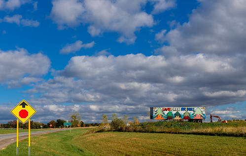
Live Free Or Die