Elevation of East Vanessa Way, E Vanessa Way, Arizona, USA
Location: United States > Arizona > Pinal County > San Manuel >
Longitude: -110.68247
Latitude: 32.5680804
Elevation: 1262m / 4140feet
Barometric Pressure: 87KPa
Elevation Map:
Satellite Map:
Related Photos:

Dusk in Mount Lemmon, Arizona
View north toward Oracle from East Ski Run Road. Mt. Lemmon, Arizona.

Metallic Wood Boring Beetle (Acmaeodera amplicollis) side view

Huge Western Diamond-back Rattlesnake (Crotalus atrox) on trail; near Davis Spring

standing watch

Edgar Canyon E of Davis Spring; W of Redington, Arizona

Summerhaven Panorama (10 July 2011)

Mt. Lemmon Fire Station & Beautiful Balcony

View of Galiuro Mountains and San Pedro River valley

1403 Camping above Edgar Canyon with the Lights of Mount Bigelow in the Background

Catching air

The View Towards Copper Hill and Margaret Wash

spiral staircase to the future
1403 View from Point 4863
Biosphere 2 Bio-luminescent too?

View north from the ridge above Biosphere 2

1305 North Ridges

the future, as seen though a glass triangle darkly

The View

View from inside Biosphere 2

View Of Desert From Biosphere 2

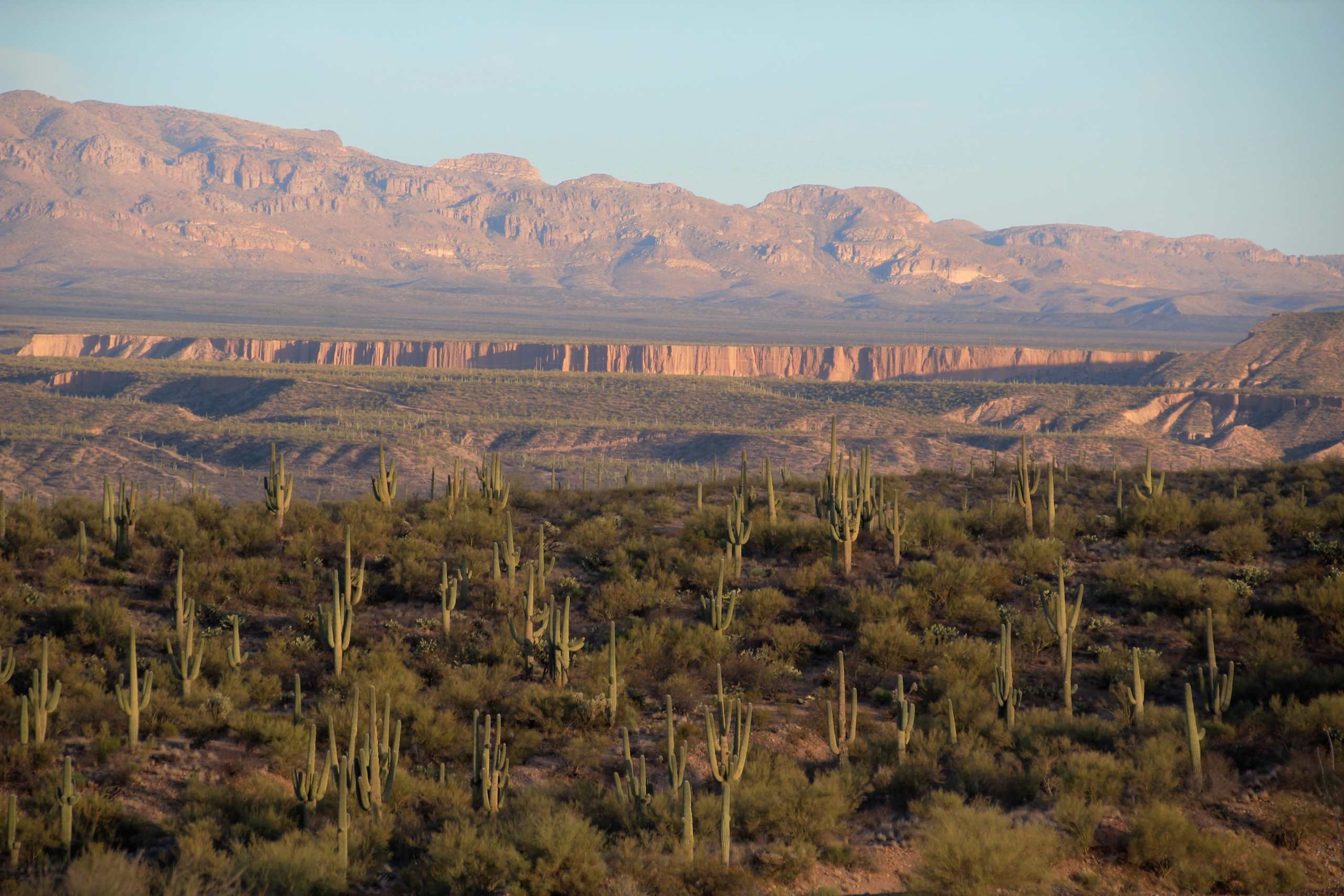
Hillside with Saguaros; Edgar Canyon E of Davis Spring; W of Redington, Arizona

Daytime Lightning

Biosphere 2

View of the San Pedro River Valley and the Galiuro Mountains; San Pedro River Valley, AZ

Pointing at the Sky

Davis Mesa road; W of Redington, AZ

Alder Wash walls, San Pedro River Valley, Arizona
1308 Looking up the Canada del Oro

Biosphere Sunset 2
View of Galiuro Mountains and Lower Kielberg Canyon in the background; near San Manuel, AZ

2006-08-20 - Road Trip - Day 29 - United States - Arizona - Biosphere 2 - Observatory

Rain Forest Biome

Agave Starburst

View of turning Cottonwood leaves in San Pedro Valley from road up Cienega Wash, Galiuro Mountains, E of San Manuel, AZ

biosphere 2 human habitat-6358 hdr

biosphere 2 rain forest-6347

Soaptree Yucca (Yucca elata - Palmilla); wash N of San Manuel, AZ
Topographic Map of East Vanessa Way, E Vanessa Way, Arizona, USA
Find elevation by address:

Places near East Vanessa Way, E Vanessa Way, Arizona, USA:
33800 S Cody Hills Rd
33989 S Apache Girl Trail
35406 S Mt Lemmon Rd
905 W 3rd Ave
33550 S Highjinks Rd
620 W 3rd Ave
603 W 4th Ave
San Manuel
Oracle State Park
406 S Ave B
North Redington Road
North Redington Road
North Redington Road
North Redington Road
North Redington Road
500 N Cody Loop Rd
333 N John Adams St
755 N Church Dr
545 N Bonito Dr
Oracle
Recent Searches:
- Elevation of Corso Fratelli Cairoli, 35, Macerata MC, Italy
- Elevation of Tallevast Rd, Sarasota, FL, USA
- Elevation of 4th St E, Sonoma, CA, USA
- Elevation of Black Hollow Rd, Pennsdale, PA, USA
- Elevation of Oakland Ave, Williamsport, PA, USA
- Elevation of Pedrógão Grande, Portugal
- Elevation of Klee Dr, Martinsburg, WV, USA
- Elevation of Via Roma, Pieranica CR, Italy
- Elevation of Tavkvetili Mountain, Georgia
- Elevation of Hartfords Bluff Cir, Mt Pleasant, SC, USA