Elevation of S Apache Girl Trail, San Manuel, AZ, USA
Location: United States > Arizona > Pinal County > San Manuel >
Longitude: -110.70272
Latitude: 32.5656097
Elevation: 1324m / 4344feet
Barometric Pressure: 86KPa
Elevation Map:
Satellite Map:
Related Photos:

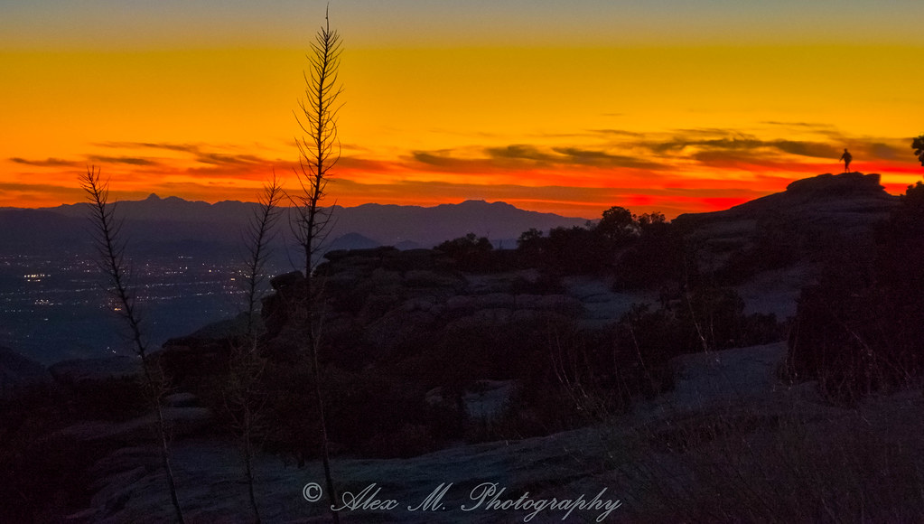
Sunset from Sykes Knob. Mt. Lemmon, Arizona. EXPLORE June 26, 2013.
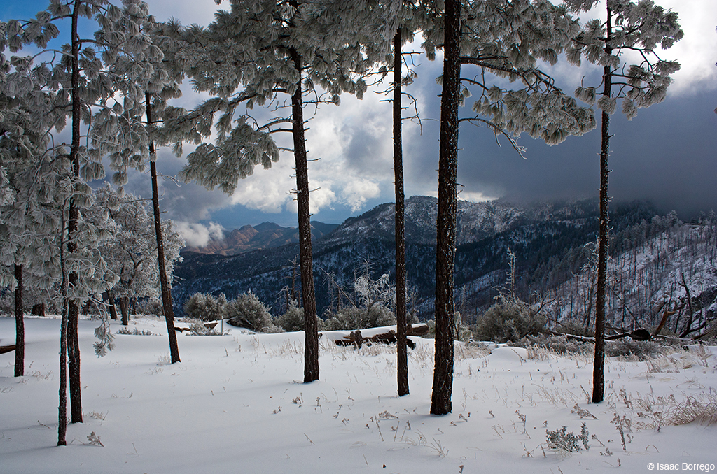
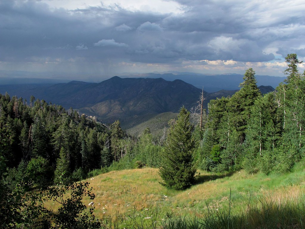
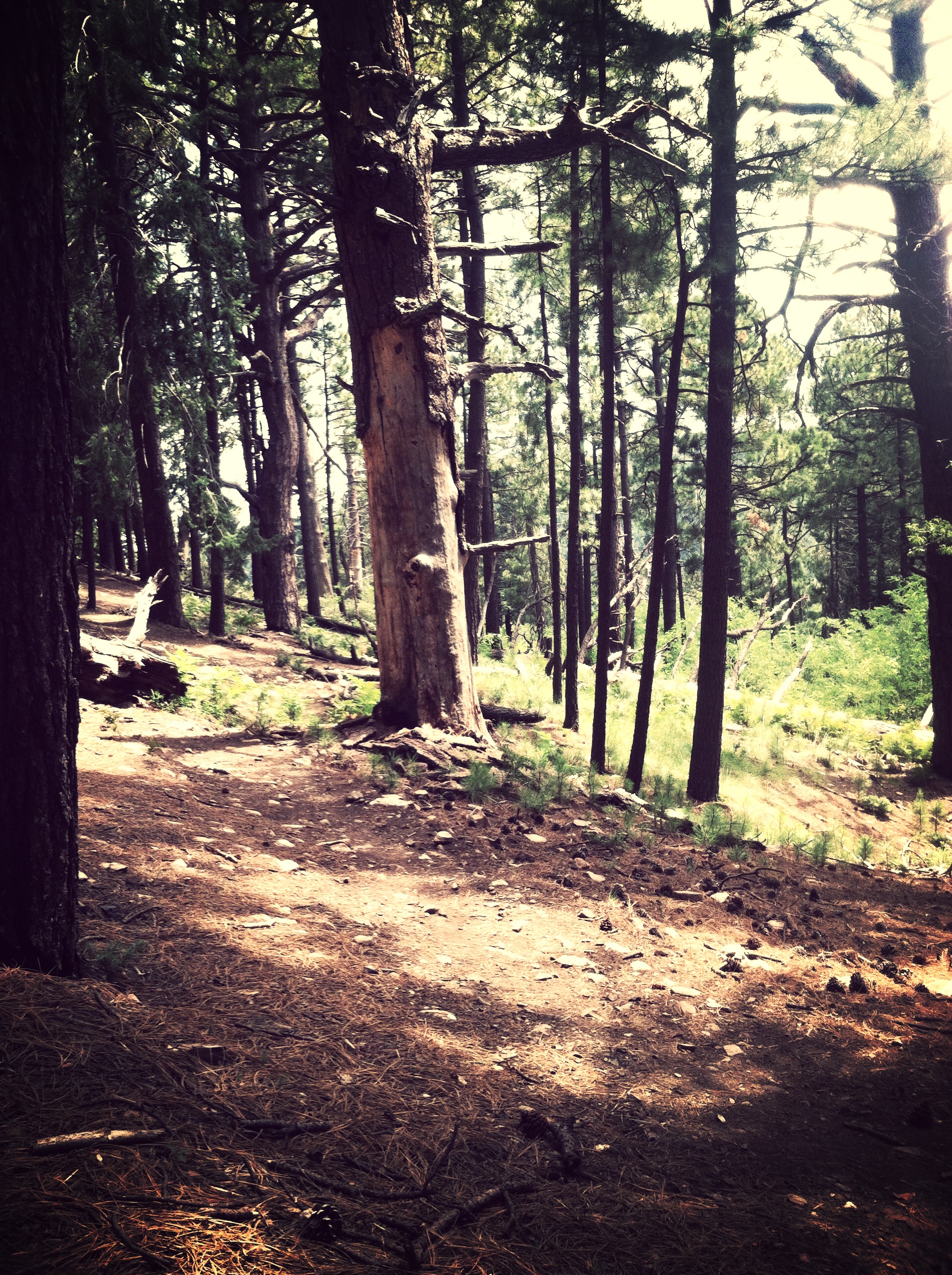
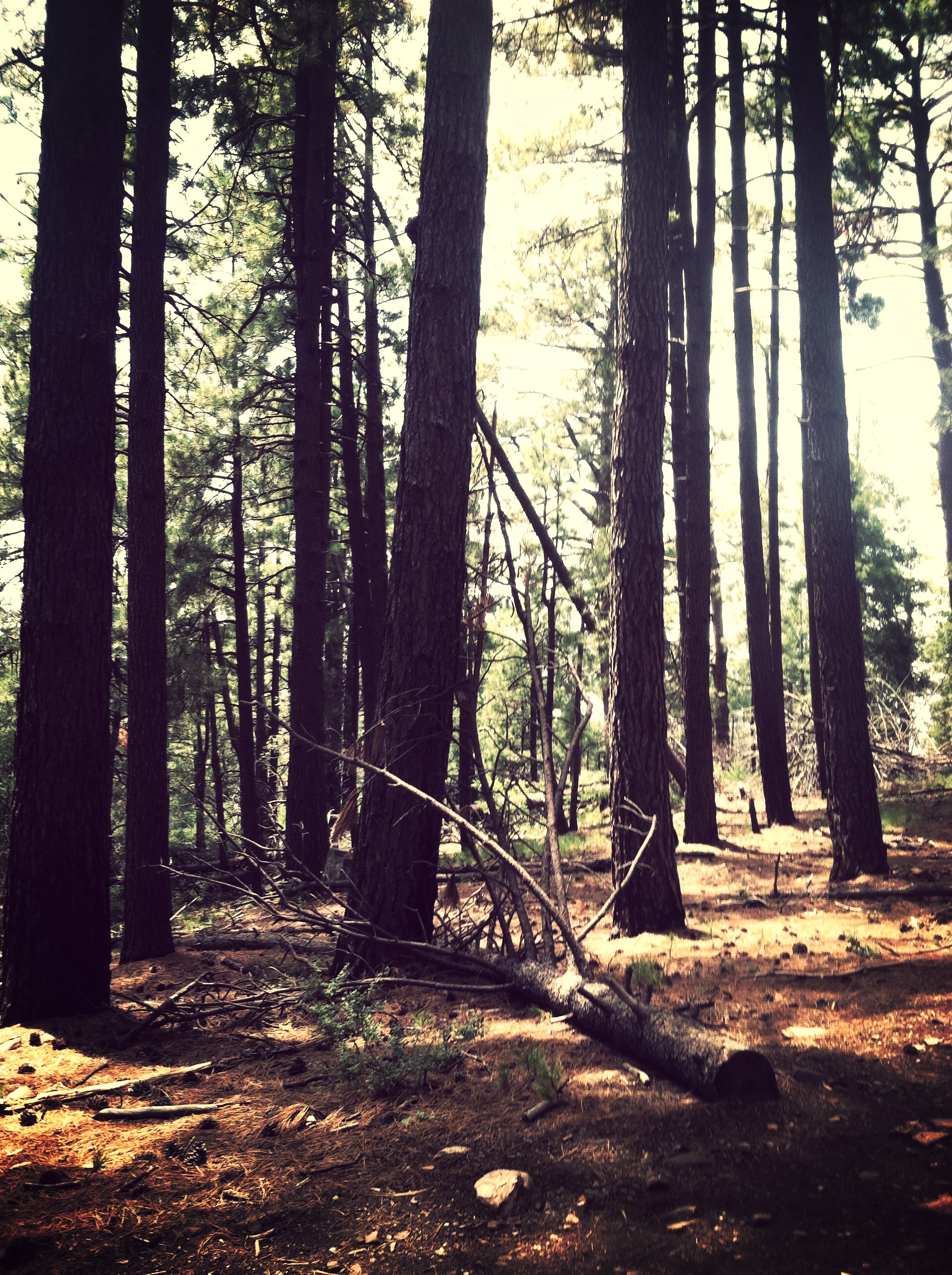
View Through the Trees - Catalina Mountains, Arizona

Mt. Lemmon - Ski Valley - ski lift
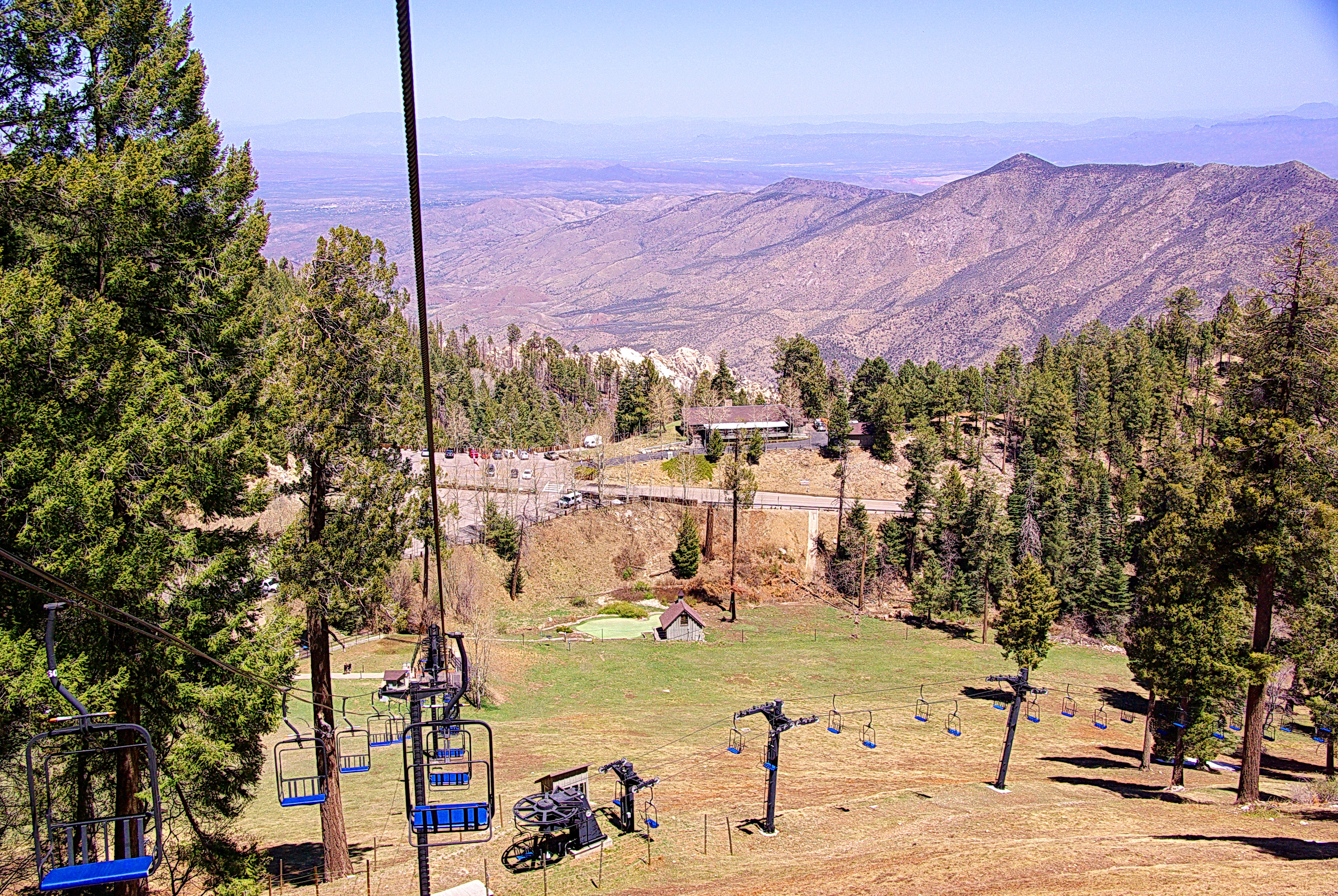
Mt. Lemmon - Ski Valley - Ski Lift

Metallic Wood Boring Beetle (Acmaeodera amplicollis) side view
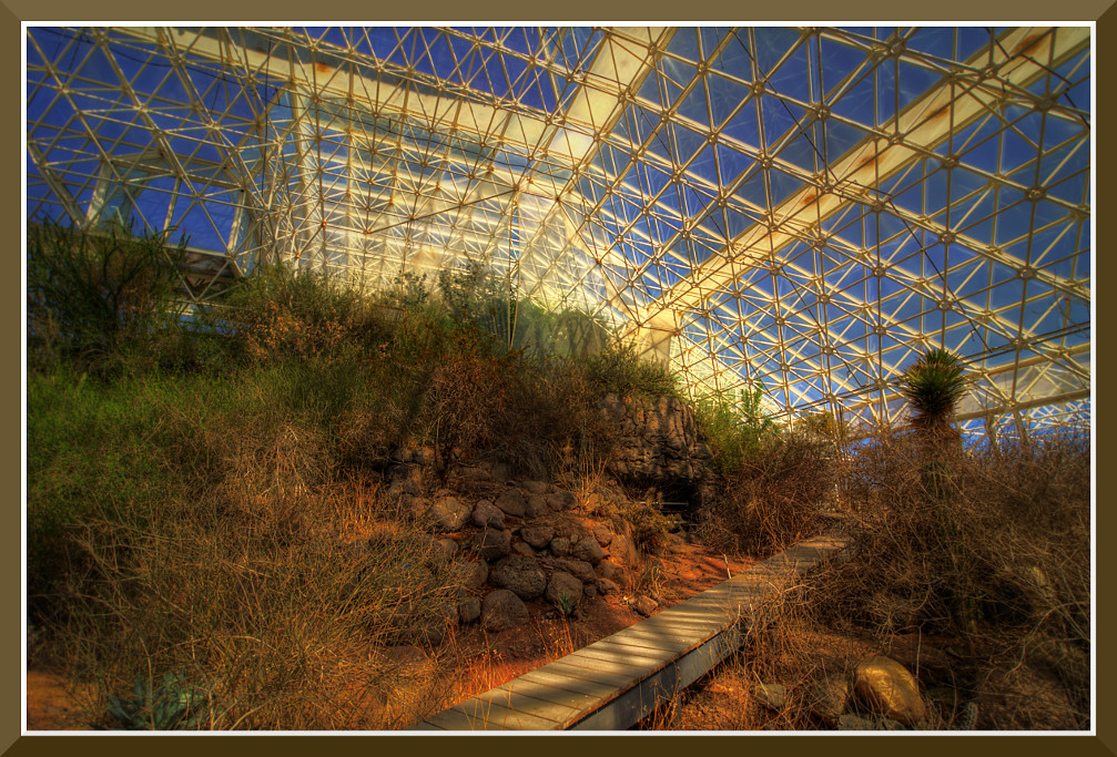
Day-11: Biosphere2_4697d
Dusk in Mount Lemmon, Arizona
view from near the top of Mt. Lemmon Highway, Coronado National Forest
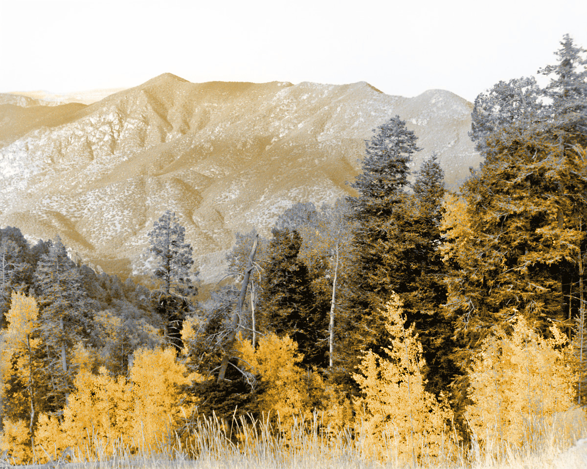
Mt Lemmon Ski Resort view in sepia
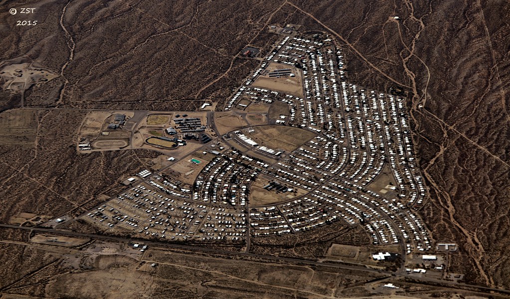
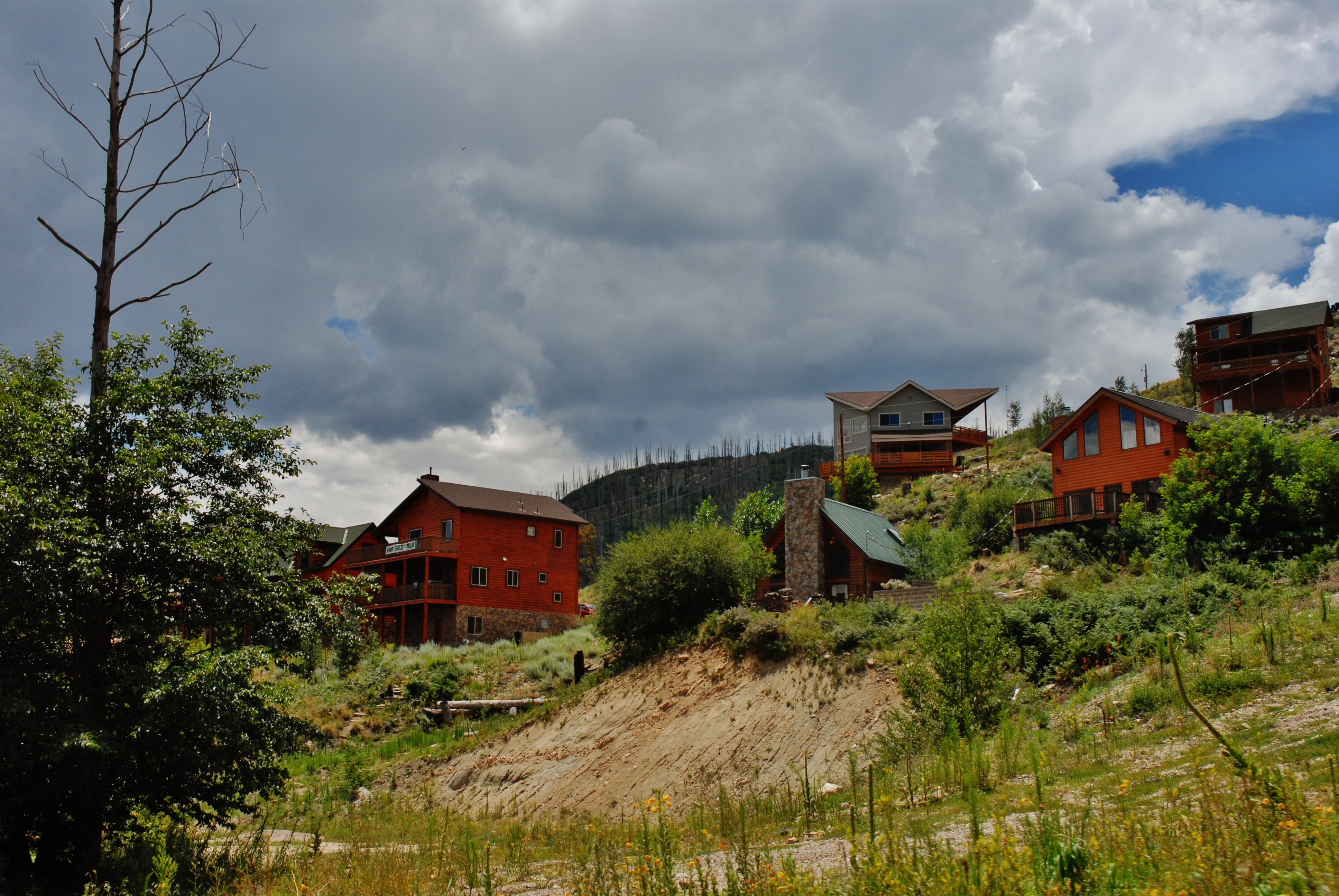
San Manuel, AZ
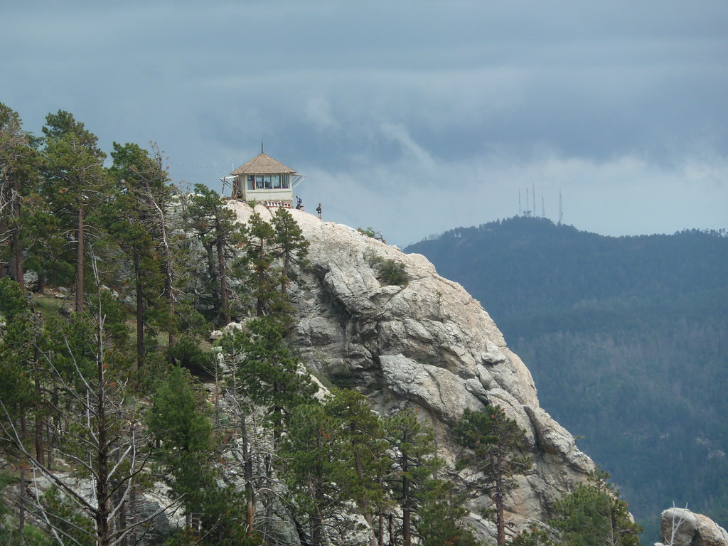
standing watch
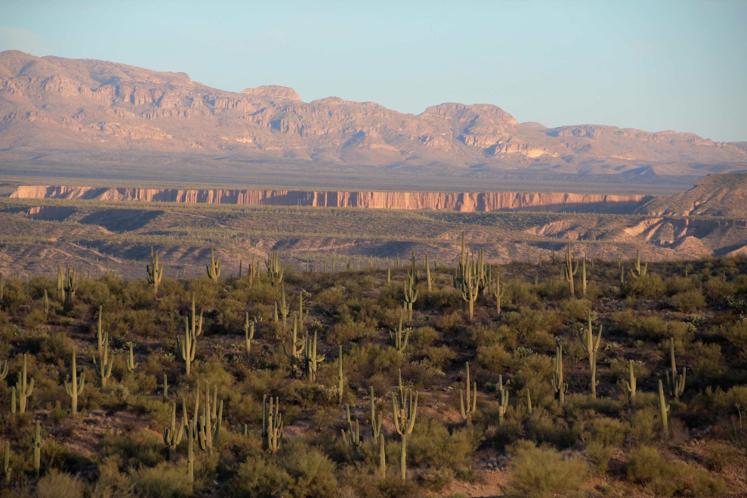
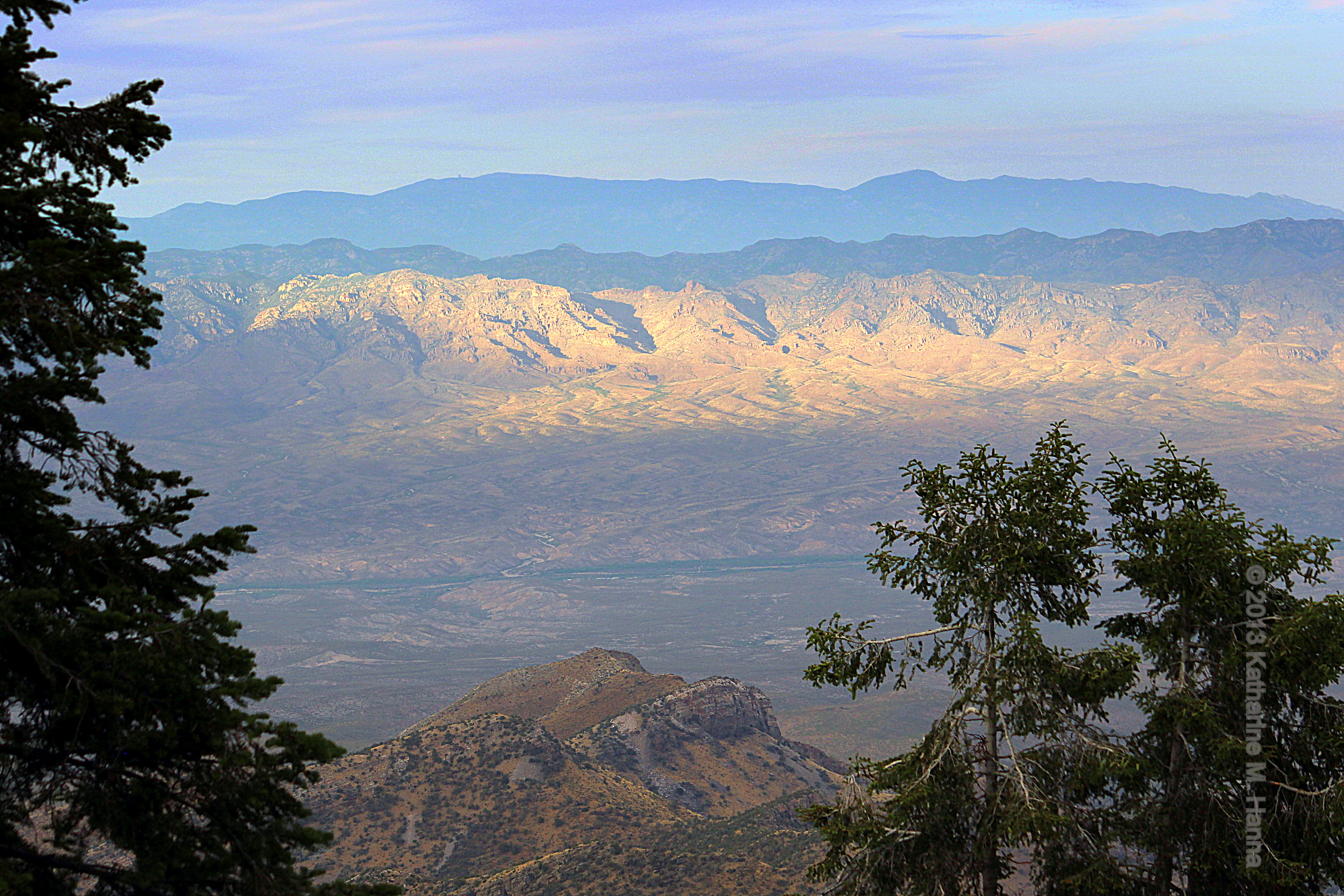
View of Galiuro Mountains and Lower Kielberg Canyon in the background; near San Manuel, AZ

Tiger Copper Mine, Mammoth, AZ

Lemmon Sunset
Mount Lemmon Day-Trip with Jennifer
View Of Desert From Biosphere 2
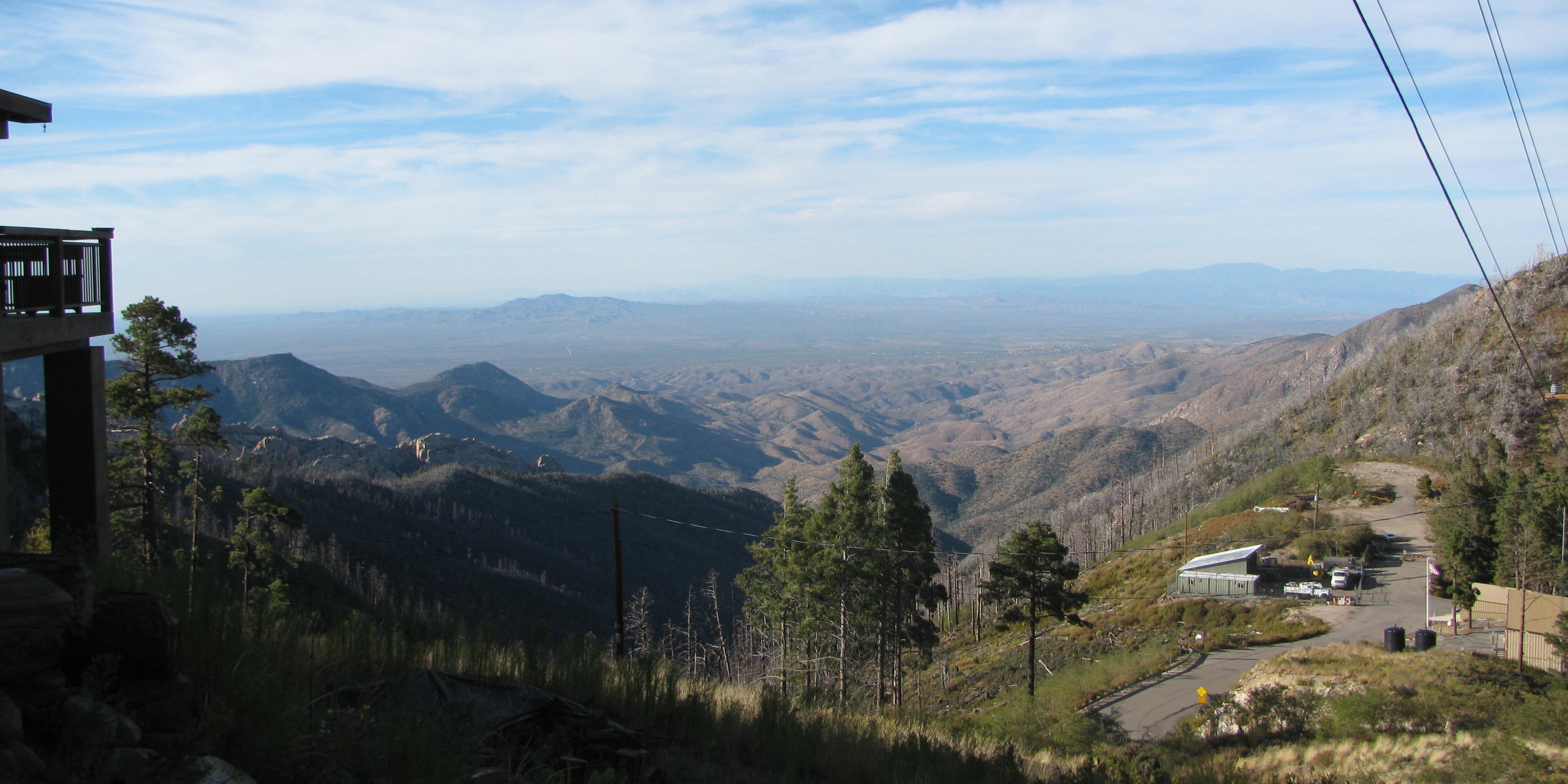
Mt. Lemmon Fire Station & Beautiful Balcony

Catching air
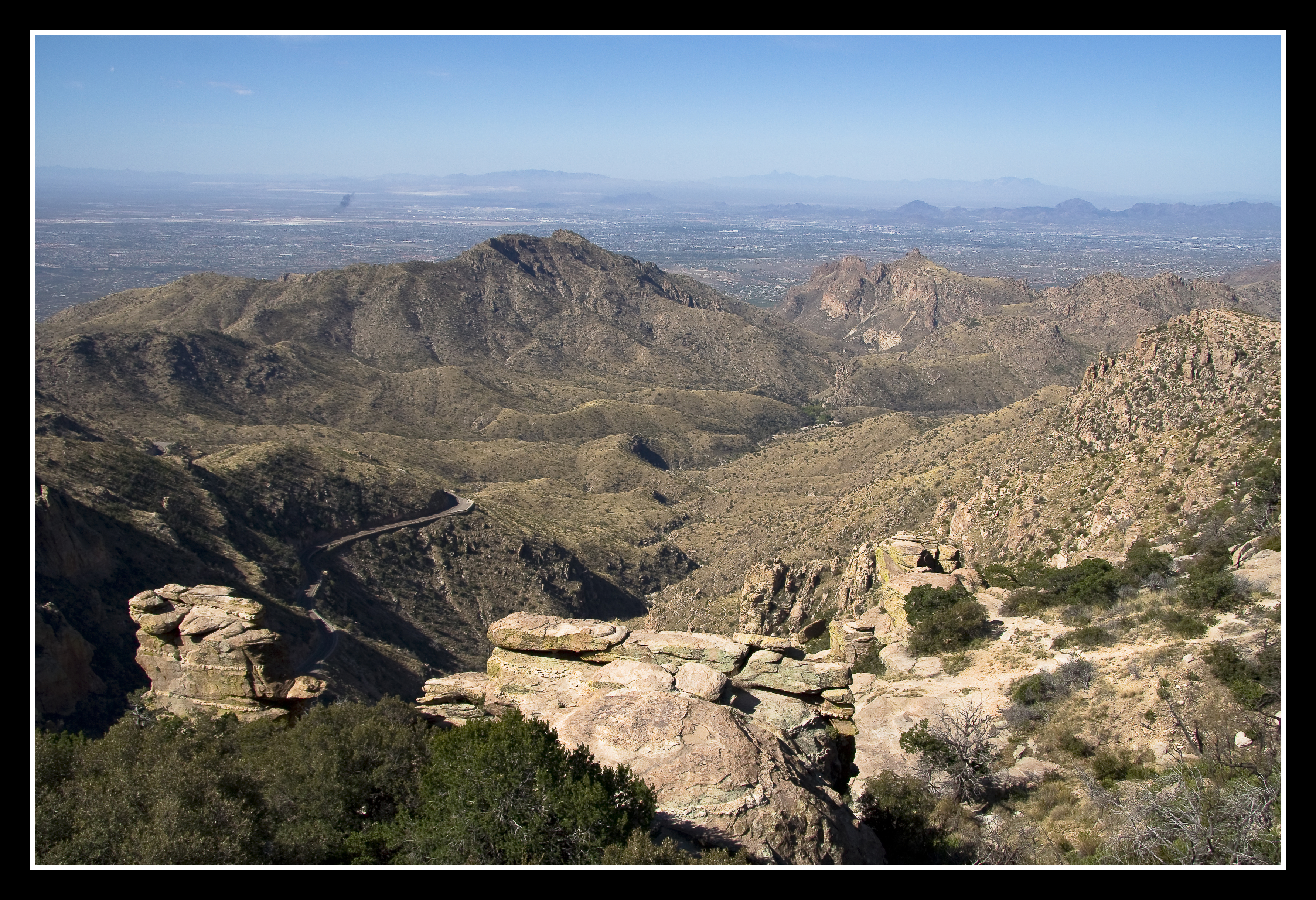
Mountaintop View

Huge Western Diamond-back Rattlesnake (Crotalus atrox) on trail; near Davis Spring

View from Mt Lemmon Ski Resort, Arizona
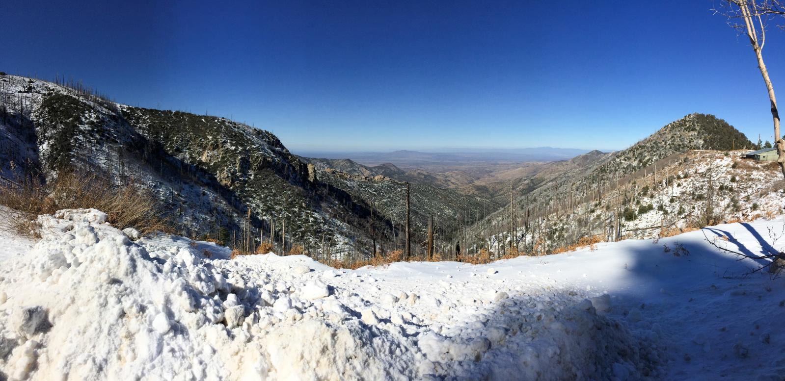
View of the San Pedro Valley & Galiuro Mntns. from Sykes Knob. Mount Lemmon, Arizona. EXPLORE June 24, 2013.

Daytime Lightning
_MG_0560-Edit.jpg

Biosphere II_4721

Biosphere 2
The Road to Mt. Lemmon

View of the San Pedro Valley & Galiuro Mountains from Sykes Knob (2). Mount Lemmon, Arizona.

Winter Storm Clouds Over Mt Lemmon, Arizona

From Mt. Lemmon
20120811 Mt Lemmon 155

Butterfly Trail
Pointing at the Sky
1308 Looking up the Canada del Oro
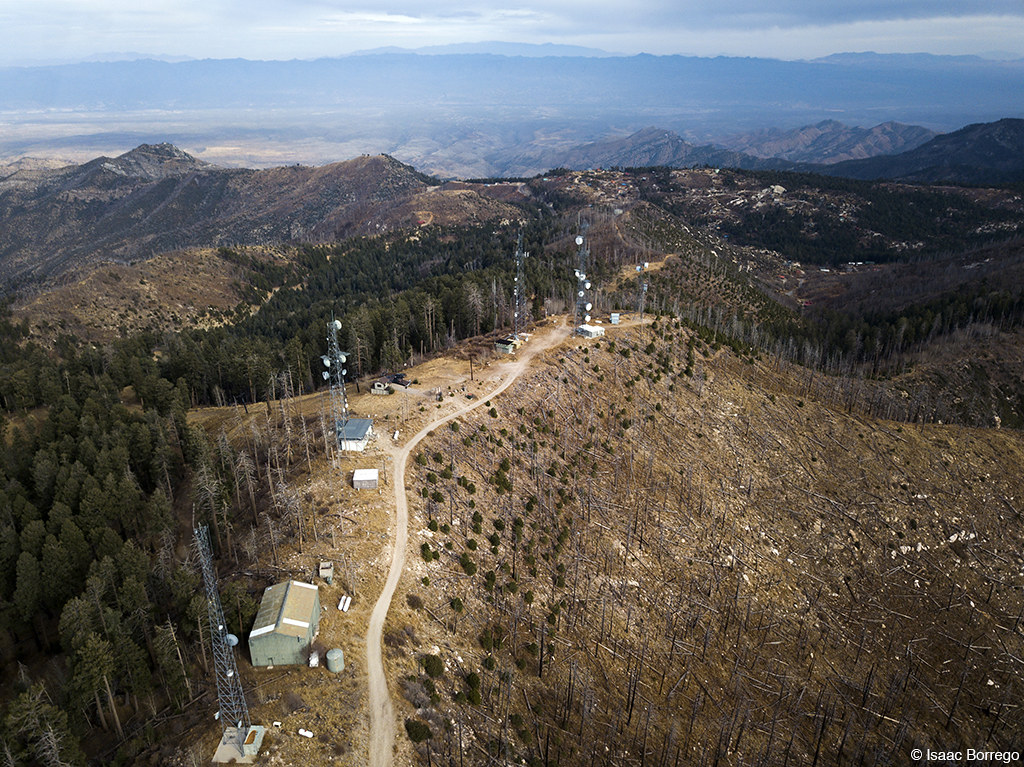
Towers and Burn Scars
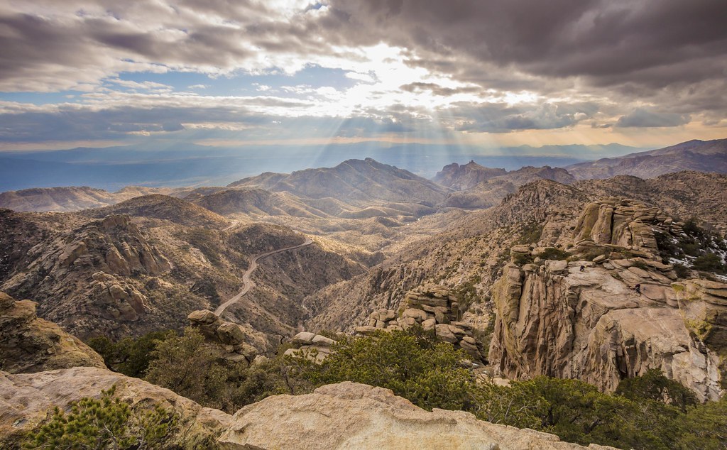
Mt Lemmon View
Hike at Marshal's Gulch
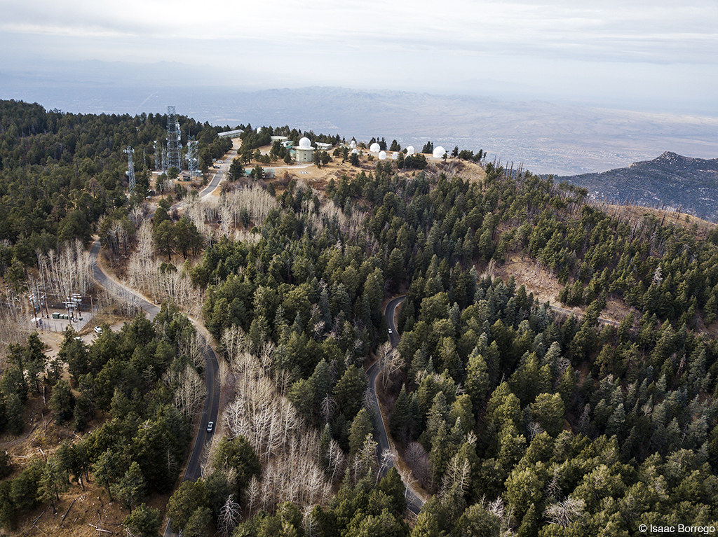
Mount Lemmon Observatory
Hike at Marshal's Gulch

rocky snow, mt lemmon [IMG_1694]

IMG_0200.JPG
Topographic Map of S Apache Girl Trail, San Manuel, AZ, USA
Find elevation by address:

Places near S Apache Girl Trail, San Manuel, AZ, USA:
35406 S Mt Lemmon Rd
33800 S Cody Hills Rd
East Vanessa Way
33550 S Highjinks Rd
Oracle State Park
333 N John Adams St
500 N Cody Loop Rd
905 W 3rd Ave
620 W 3rd Ave
755 N Church Dr
545 N Bonito Dr
603 W 4th Ave
San Manuel
La Mariposa Street
Oracle
406 S Ave B
The Oracle Patio Cafe And Market
North Redington Road
North Redington Road
North Redington Road
Recent Searches:
- Elevation of Corso Fratelli Cairoli, 35, Macerata MC, Italy
- Elevation of Tallevast Rd, Sarasota, FL, USA
- Elevation of 4th St E, Sonoma, CA, USA
- Elevation of Black Hollow Rd, Pennsdale, PA, USA
- Elevation of Oakland Ave, Williamsport, PA, USA
- Elevation of Pedrógão Grande, Portugal
- Elevation of Klee Dr, Martinsburg, WV, USA
- Elevation of Via Roma, Pieranica CR, Italy
- Elevation of Tavkvetili Mountain, Georgia
- Elevation of Hartfords Bluff Cir, Mt Pleasant, SC, USA