Elevation of N Church Dr, Oracle, AZ, USA

Location: United States > Arizona > Pinal County > Oracle >

Longitude: -110.76656

Latitude: 32.6076575

Elevation: 1399m / 4590feet

Barometric Pressure: 86KPa

Elevation Map:

elevation map of N Church Dr, Oracle, AZ, USA

Satellite Map:

Satellite map of N Church Dr, Oracle, AZ, USA

Related Photos:

1991 01-11 1430 SMARRCO RS3s-8 & 9 switching in San Manuel, AZ
1991 01-11 1431 SMARRCO RS3s-8 & 9 switching in San Manuel, AZ
sugardxn southwest garypentin tucson arizona az agave agaviparryi canon canon7d canoneos7d cactus flower desert garden nature outdoor photoshop usa dji drone phantom
Agave parryi
photo foto tucson az safari day11 biosphere2
Day-11: Biosphere2_4697d
sugardxn southwest garypentin tucson arizona az agave agaviparryi canon canon7d canoneos7d cactus flower desert garden nature outdoor photoshop usa dji drone phantom
Agave parryi
sugardxn southwest garypentin tucson arizona az agave agaviparryi canon canon7d canoneos7d cactus flower desert garden nature outdoor photoshop usa dji drone phantom
Agave parryi
trees arizona nature clouds outdoors rocks hiking stormy hike monsoon vista coronadonationalforest firelookout santacatalinas thebestview lemmonrock
standing watch
arizona oracle flight aerialview aerial unitedairlines windowseat iahtolax zeesstof saddlebrookeranchgolfclub houstontola
Oracle, AZ
arizona desert flight aerialview aerial unitedairlines windowseat sanmanuel iahtolax zeesstof houstontola
San Manuel, AZ
arizona usa mountains cacti landscapes desert unitedstatesofamerica gps 2010 panoramio saguarocactuscarnegieagigantea
View of side jeep trail which goes to Pearl Mine from Tucson Wash road, W of Mammoth, AZ
birds birding aves pájaros passaros wildlife nature naturaleza coronadonationalforest publiclands landscape paisaje paisajem desertgrassland agave mountains montañas
View toward the San Pedro River
aerial aerialview airline arizona californiatotexas commercialairline coppermine flight laxtoiah losangelestohouston mammoth mine openpitmine tiger united unitedairlines vacation viewfromwindow windowseat zeesstof
Tiger Copper Mine, Mammoth, AZ
arizona jump tucson air dirt bullet mtlemmon royalenfield lepley ricepeak
Catching air
biosphere2 karlsbad karlschultz
The View Towards Copper Hill and Margaret Wash
arizona reflection glass spiral mirror triangle desert biosphere stairway staircase helix futuristic octagon
spiral staircase to the future
arizona webcam uofa biosphere2 iab ifb intensiveagriculturalbiome intensiveforestbiome
Biosphere 2 Bio-luminescent too?
arizona biosphere2
View north from the ridge above Biosphere 2
I Will Remain Forever
square squareformat hefe iphoneography instagramapp uploaded:by=instagram foursquare:venue=4b0586cef964a520696f22e3
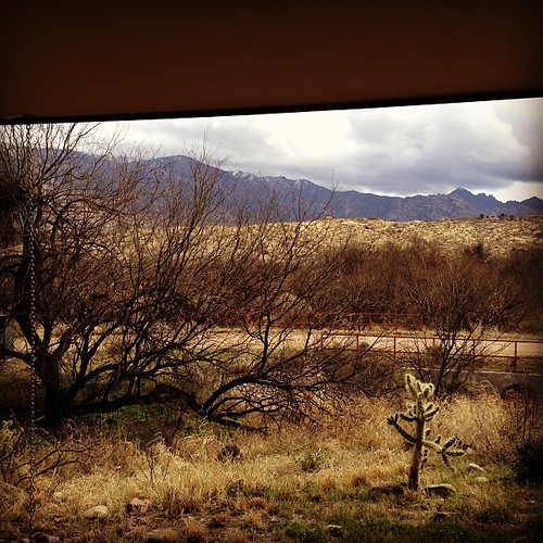
Room with a view - the AZ desert at Mirival
arizona unitedstates coronadonationalforest redridge mountlemmon oracleridge canadadelorotrail cdotrail reefofrock
1305 North Ridges
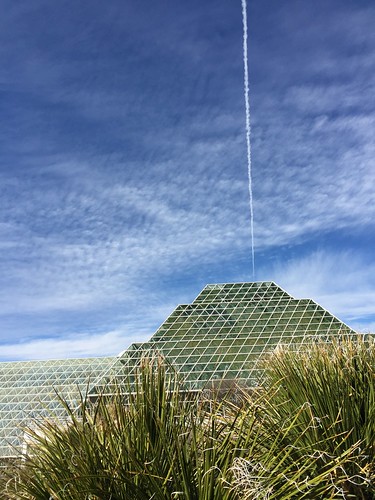
arizona glass triangle desert biosphere greenhouse futuristic
the future, as seen though a glass triangle darkly
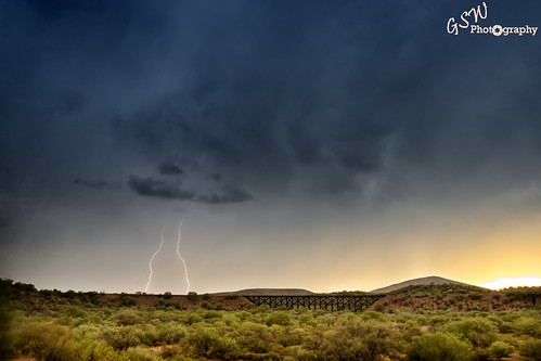
nikon nikond7000 d7000 gswphotography landscape clouds sky land storm weather extremesky parizona usa unitedstates america atmospheric stormchaser stormchasing extremeweather lightning cloudtoground cg hills daytime 1second rail bridge
Daytime Lightning
2016 arizona commonsotoldasylirionwheeleridesertspoon desert flickr gps landscapes oraclestatepark parks pinalcounty usa unitedstatesofamerica
Common Sotol (Dasylirion wheeleri - Desert Spoon)
arizona southwest unitedstates roadtrip northamerica biosphere2 thewest
2006-08-20 - Road Trip - Day 29 - United States - Arizona - Biosphere 2 - Observatory
2016 arizona desert flickr gps landscapes oraclestatepark parks pinalcounty sanpedrorivervalley usa unitedstatesofamerica
Oracle State Park north side; E of Oracle, AZ
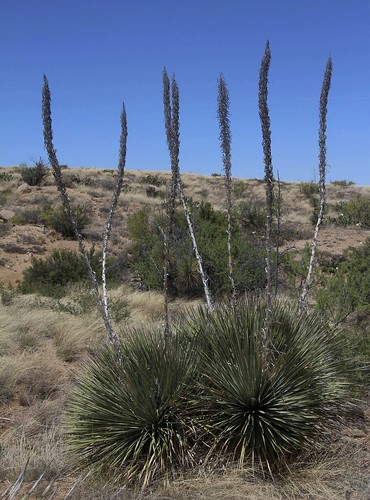
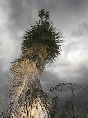
arizona usa unitedstatesofamerica gps succulents 2010 sanmanuel soaptreeyuccayuccaelatapalmilla
Soaptree Yucca with clouds; desert SW of San Manuel, AZ
arizona unitedstates tucson biosphere2
biosphere 2 human habitat-6358 hdr
arizona unitedstates tucson biosphere2
biosphere 2 rain forest-6347
arizona usa landscapes flickr desert unitedstatesofamerica gps succulents 2011 soaptreeyuccayuccaelatapalmilla camcanonrebelt3i
Soaptree Yucca (Yucca elata - Palmilla); wash N of San Manuel, AZ
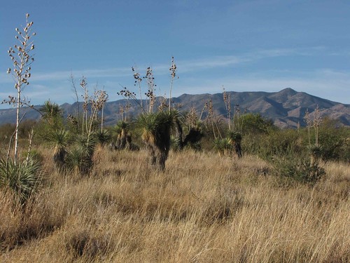
arizona usa landscapes desert unitedstatesofamerica gps succulents 2010 sanmanuel soaptreeyuccayuccaelatapalmilla
Soaptree Yucca (Yucca elata - Palmilla); desert SW of San Manuel, AZ
flowers arizona usa landscapes desert unitedstatesofamerica gps succulents 2010 sanmanuel soaptreeyuccayuccaelatapalmilla
Flowering Soaptree Yucca (Yucca elata); desert W of San Manuel, AZ
flowers arizona usa landscapes desert unitedstatesofamerica gps succulents 2010 sanmanuel soaptreeyuccayuccaelatapalmilla
Flowering Soaptree Yucca (Yucca elata); desert SW of San Manuel, AZ
arizona usa landscapes flickr desert unitedstatesofamerica seeds gps succulents 2011 camcanonrebelt3i
Soaptree Yucca (Yucca elata - Palmilla); S of San Manuel, AZ
arizona unitedstates tucson biosphere2
biosphere 2 dorms-6453
flowers arizona plants usa landscapes desert unitedstatesofamerica gps succulents 2010 sanmanuel soaptreeyuccayuccaelatapalmilla
Flowering Soaptree Yucca (Yucca elata - Palmilla); San Manuel, AZ
arizona usa mountains unitedstatesofamerica gps 2009
Mine shaft up Tucson Wash, W of Mammoth, AZ
arizona unitedstates tucson biosphere2
biosphere 2 south lung-6393
arizona karlsbad karlschultz
Biosphere 2
arizona plants usa mountains cacti landscapes desert unitedstatesofamerica gps 2009
Soaptree Yucca; Willow Springs Road, N of Oracle, AZ