Elevation of The Preserve at SaddleBrooke, E Catalina Hills Dr, Tucson, AZ, USA
Location: United States > Arizona > Pinal County > Saddlebrooke >
Longitude: -110.85511
Latitude: 32.5494818
Elevation: 1043m / 3422feet
Barometric Pressure: 89KPa
Elevation Map:
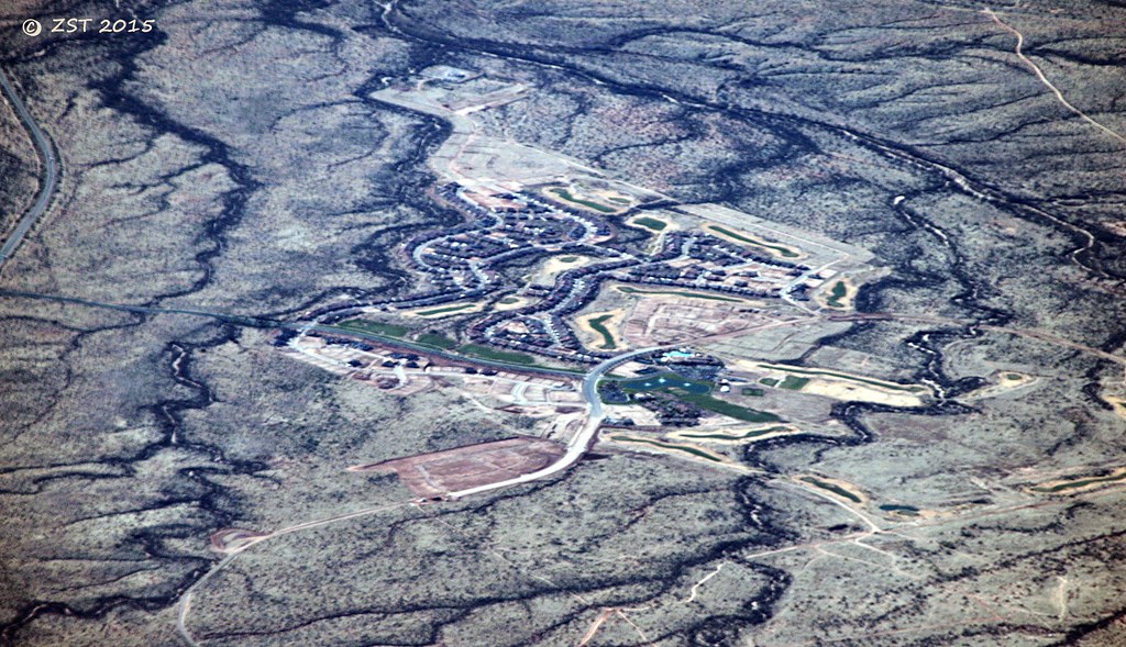
Satellite Map:
Related Photos:

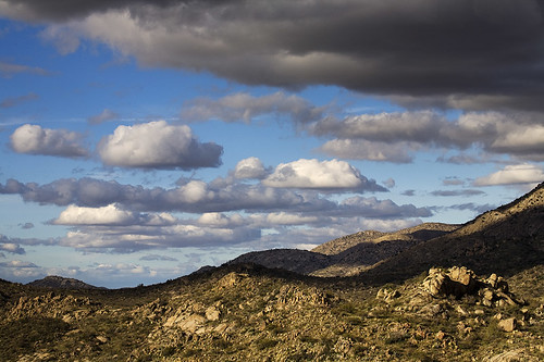
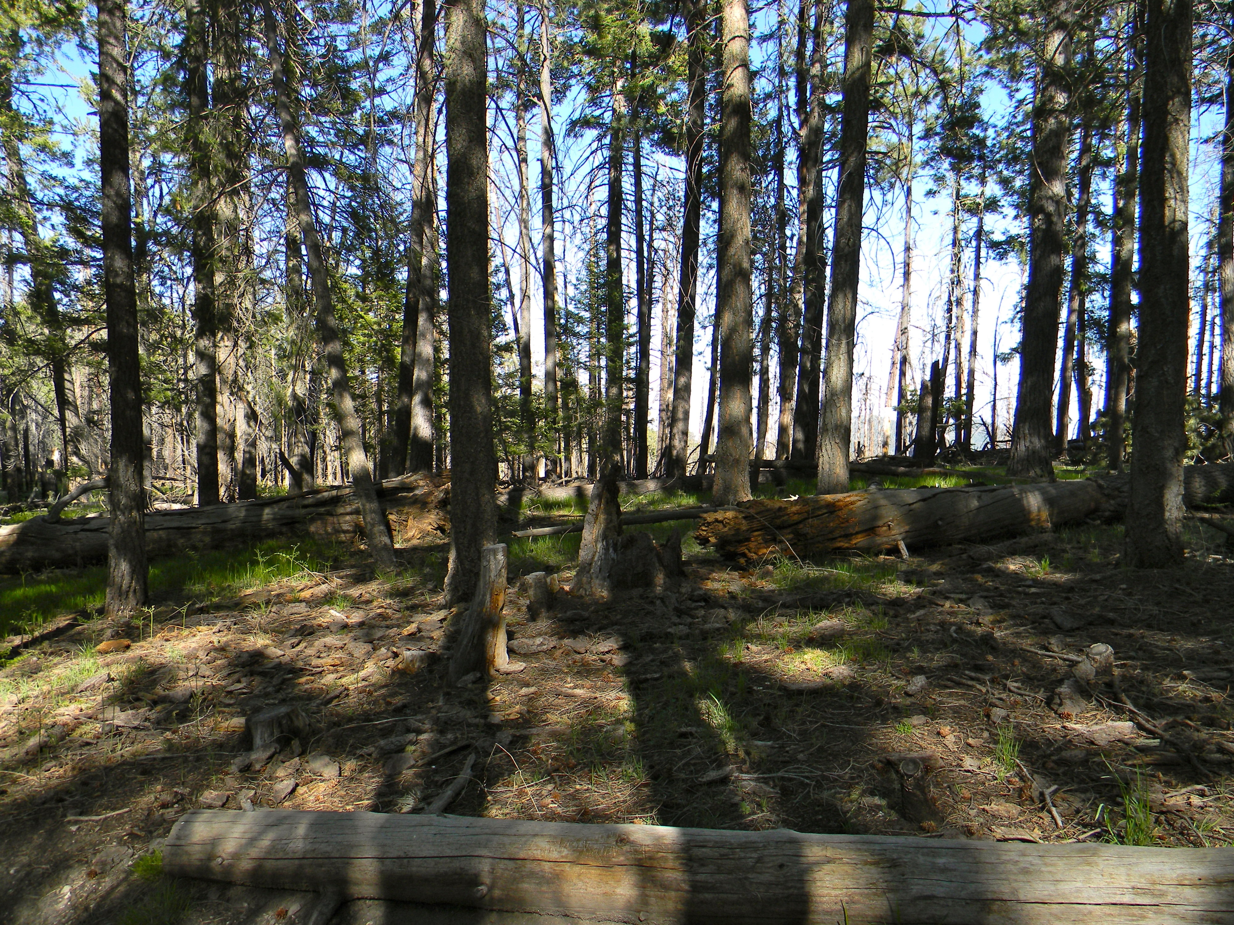
Hiking in the Tucson Mts
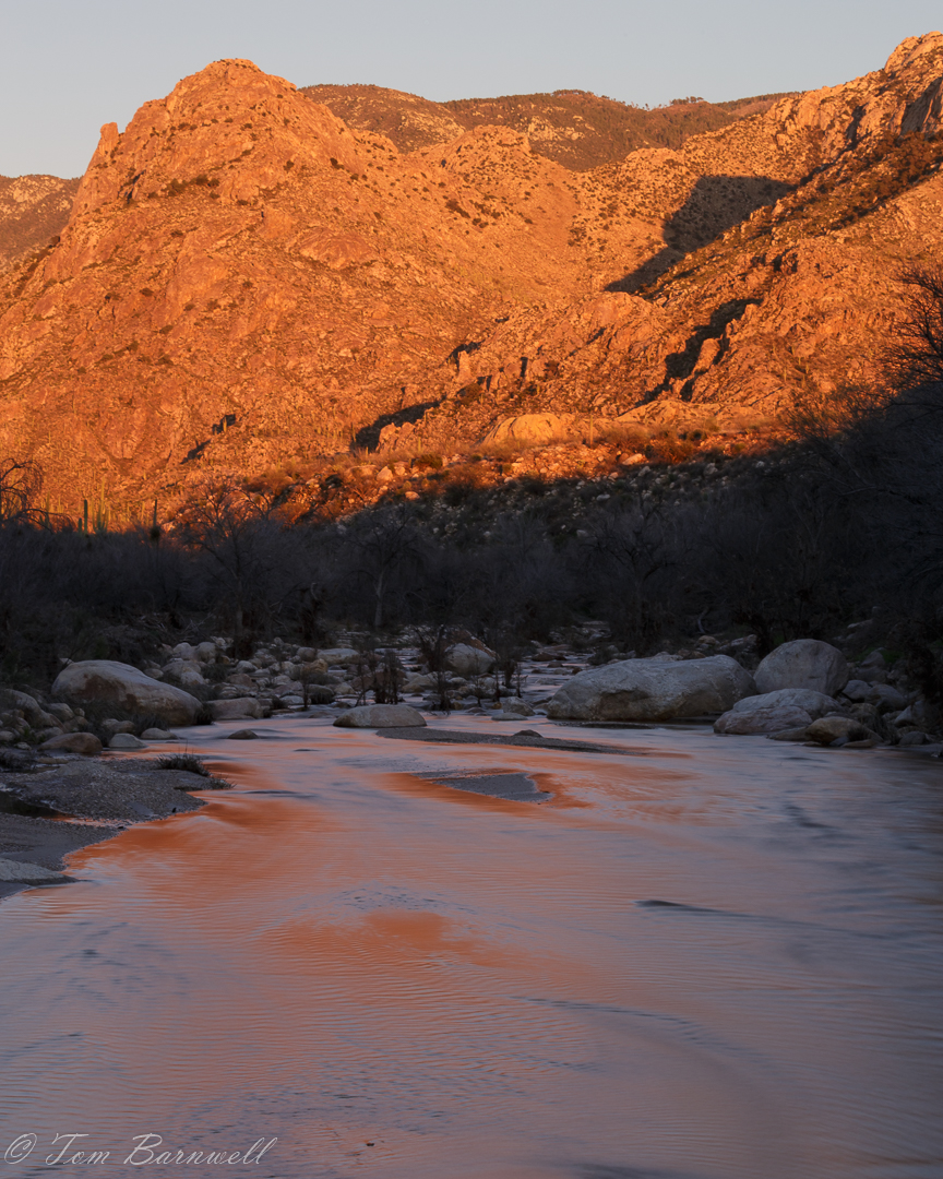
Sundown at Pusch Ridge
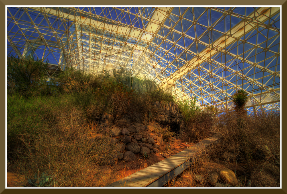
Day-11: Biosphere2_4697d
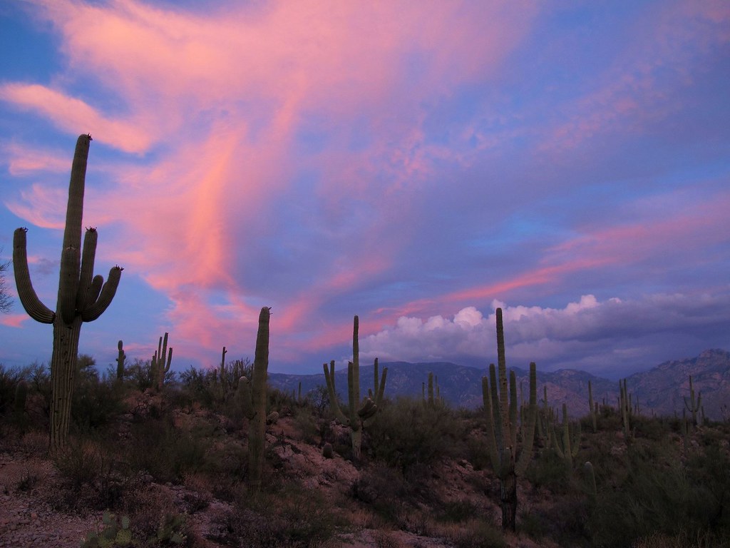
Sonoran Desert Sky Show

I Will Remain Forever
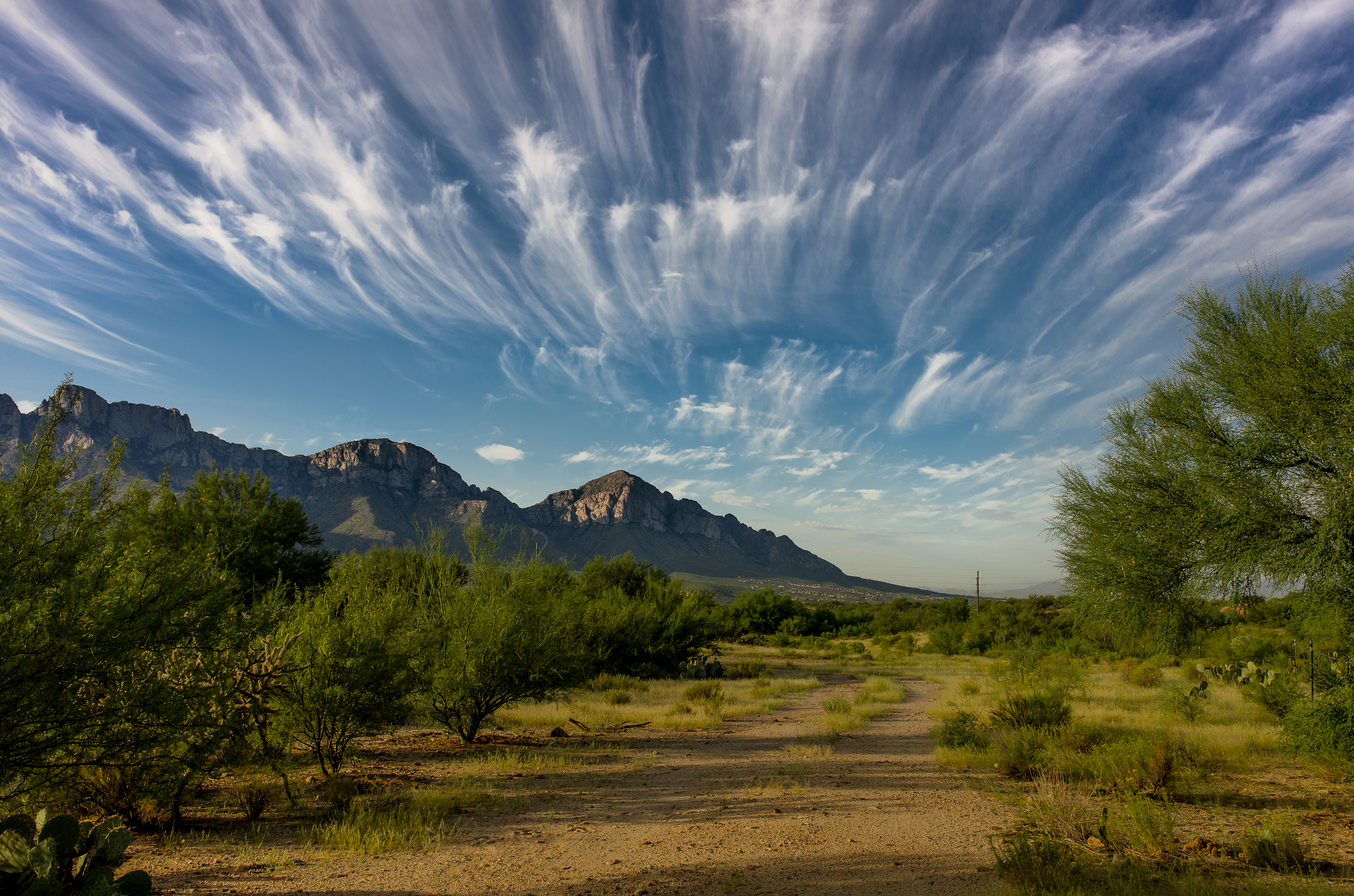
View north toward Oracle from East Ski Run Road. Mt. Lemmon, Arizona.
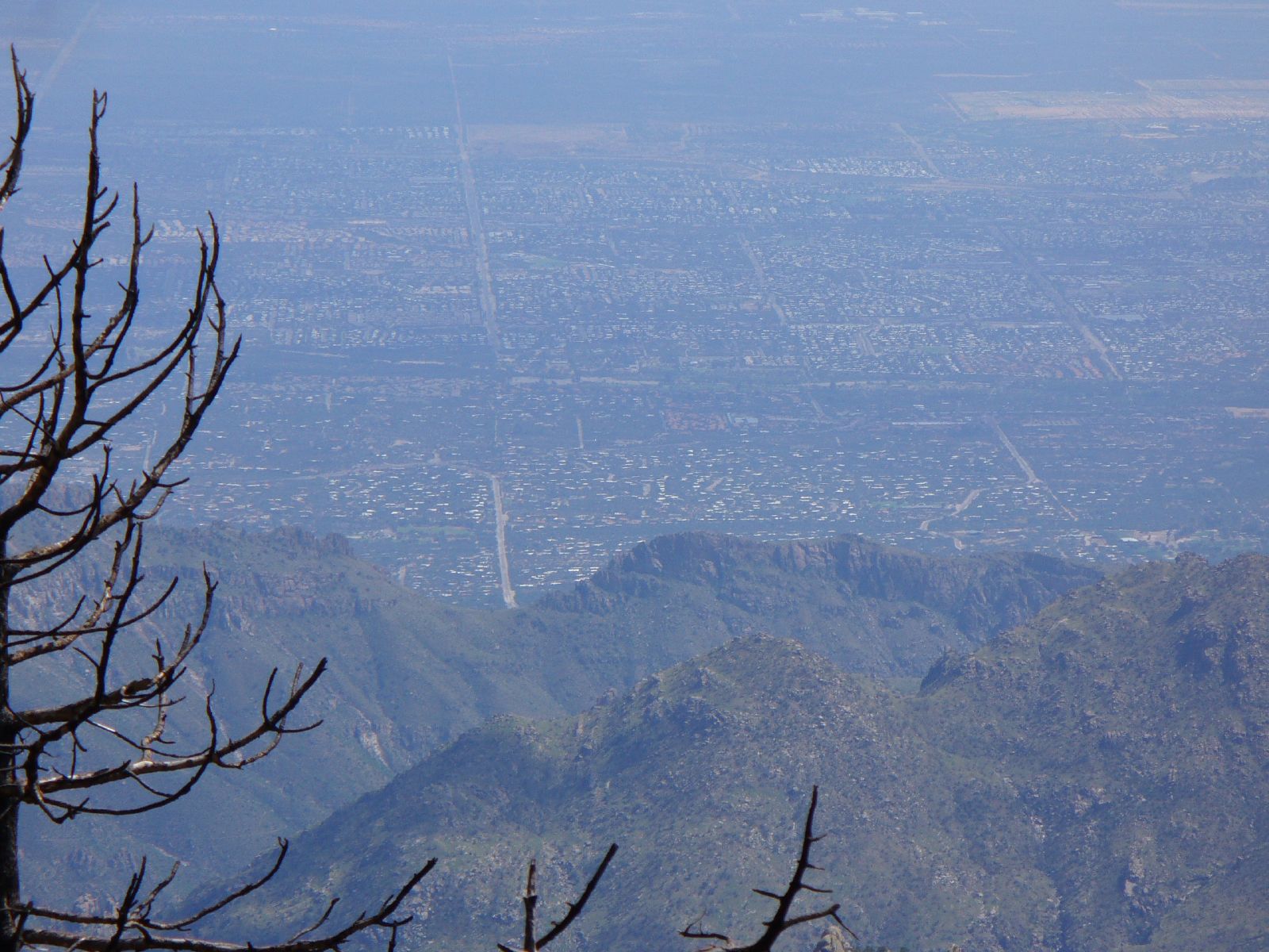
View from the Sutherland Trail 4
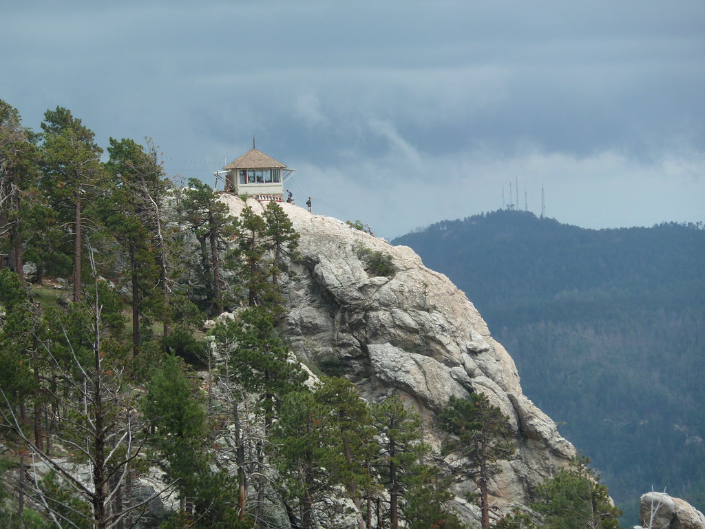
standing watch
it's a beautiful day in the neighborhood
Room with a view - the AZ desert at Mirival
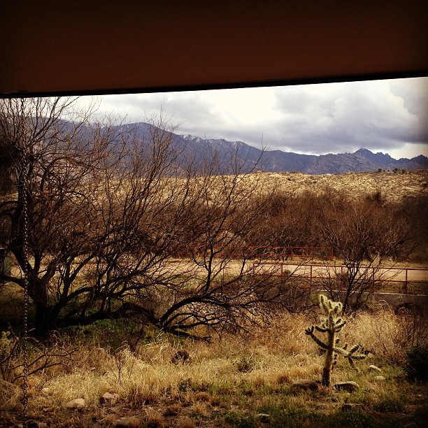
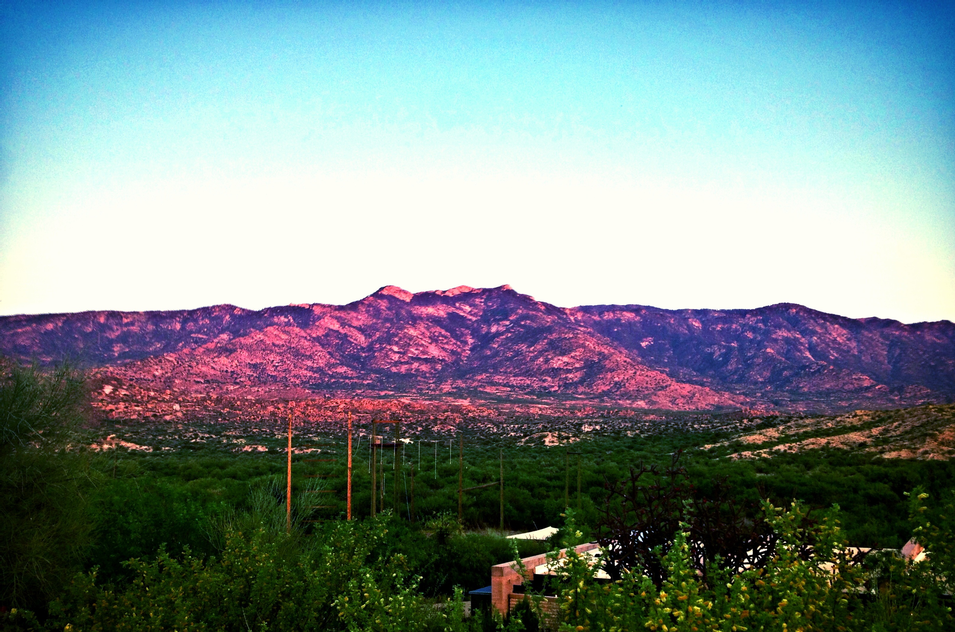
Oracle, AZ

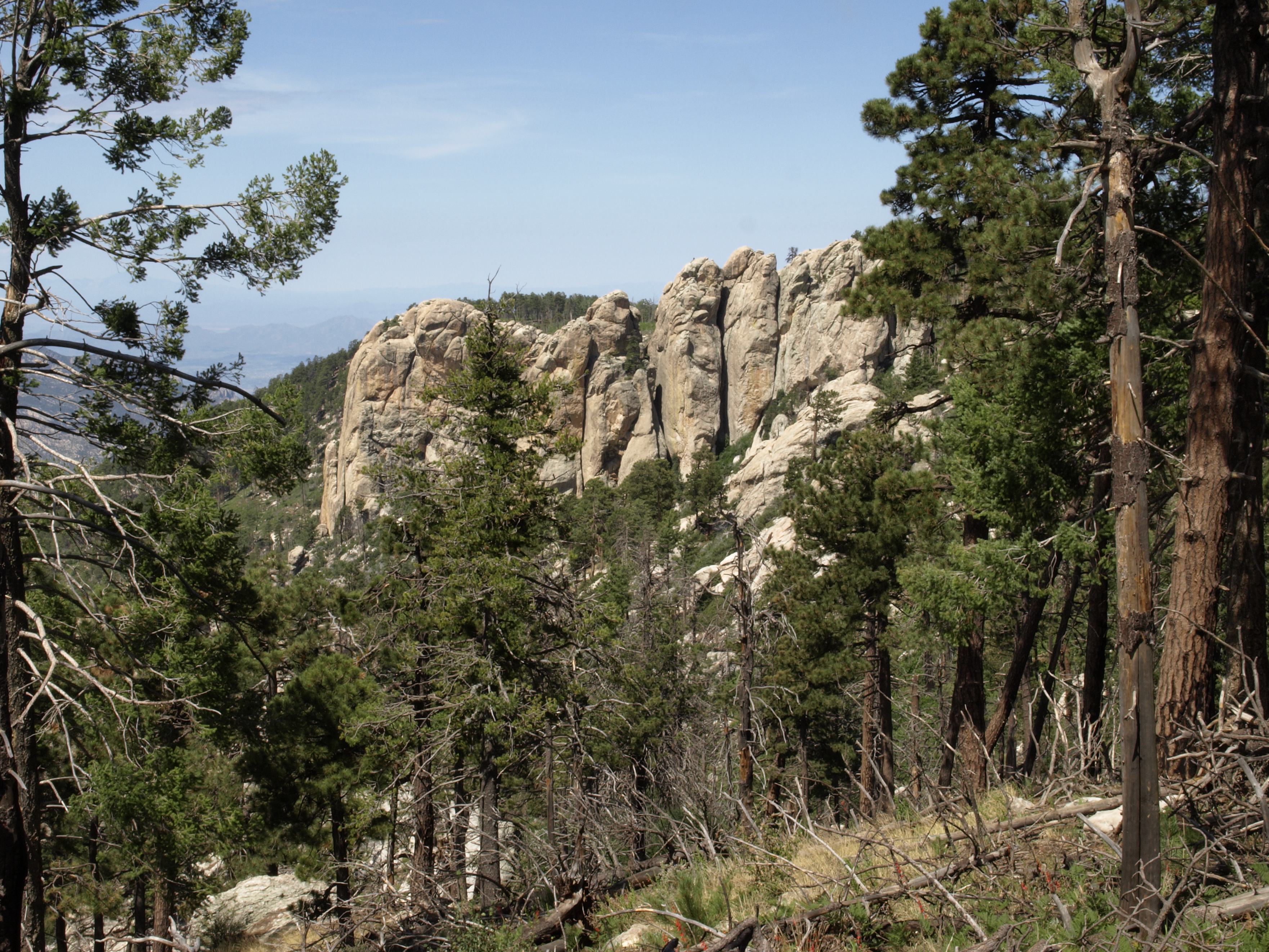
Rock and Fortress
view from the top
Mount Lemmon Day-Trip with Jennifer

Mt. Lemmon - Ski Valley - ski lift
View From the Sutherland Trail
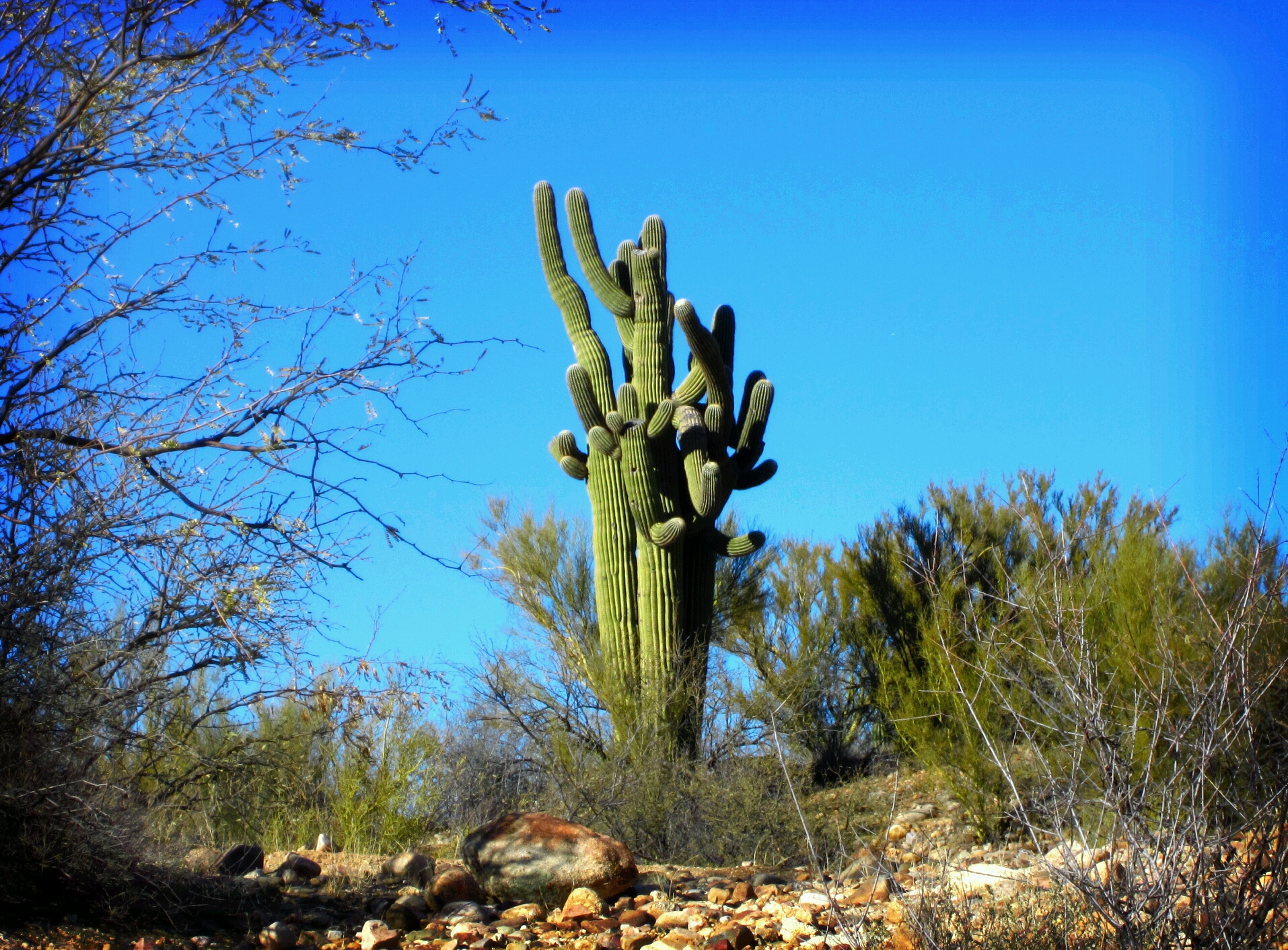
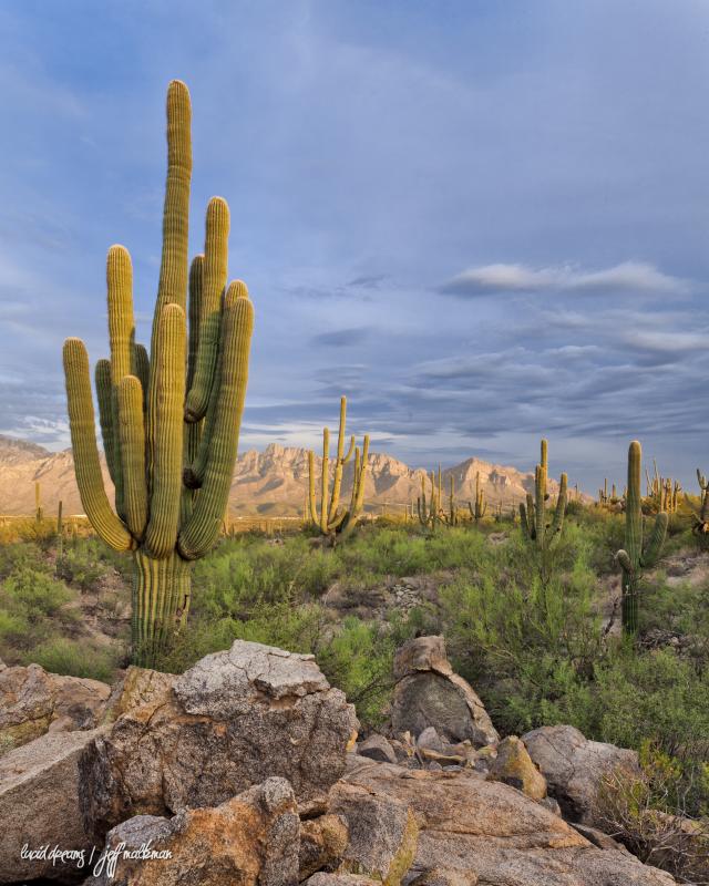
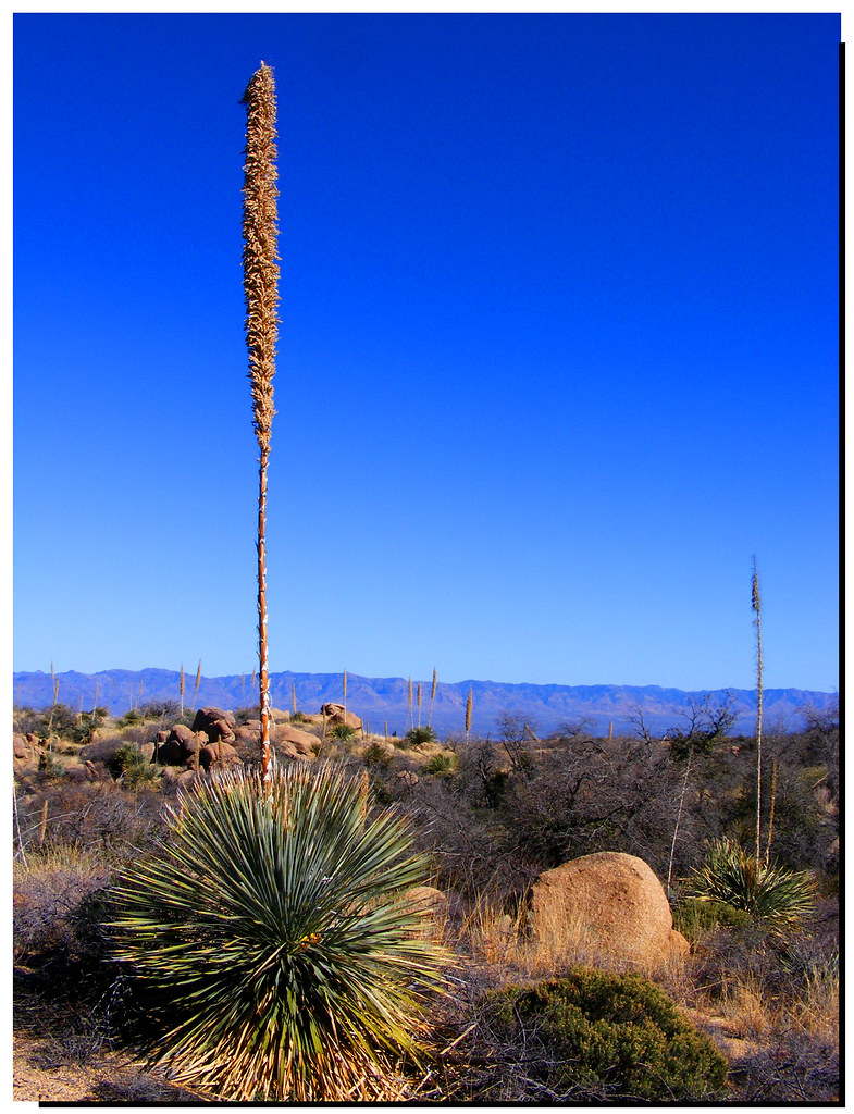
2013Jan17 Saguaro Cactus 17/365
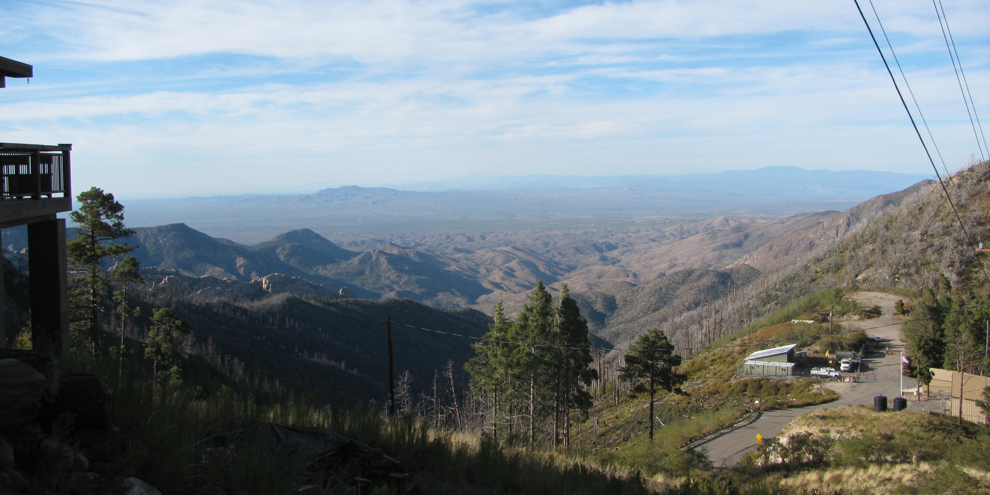
Mt. Lemmon Fire Station & Beautiful Balcony
View from the Sutherland Trail 6
Pusch Ridge View (2)
The view from the trail to Lemmon Rock Lookout
Morning School Commute w/Awesome Wispy Clouds
Old Sunset
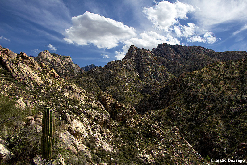
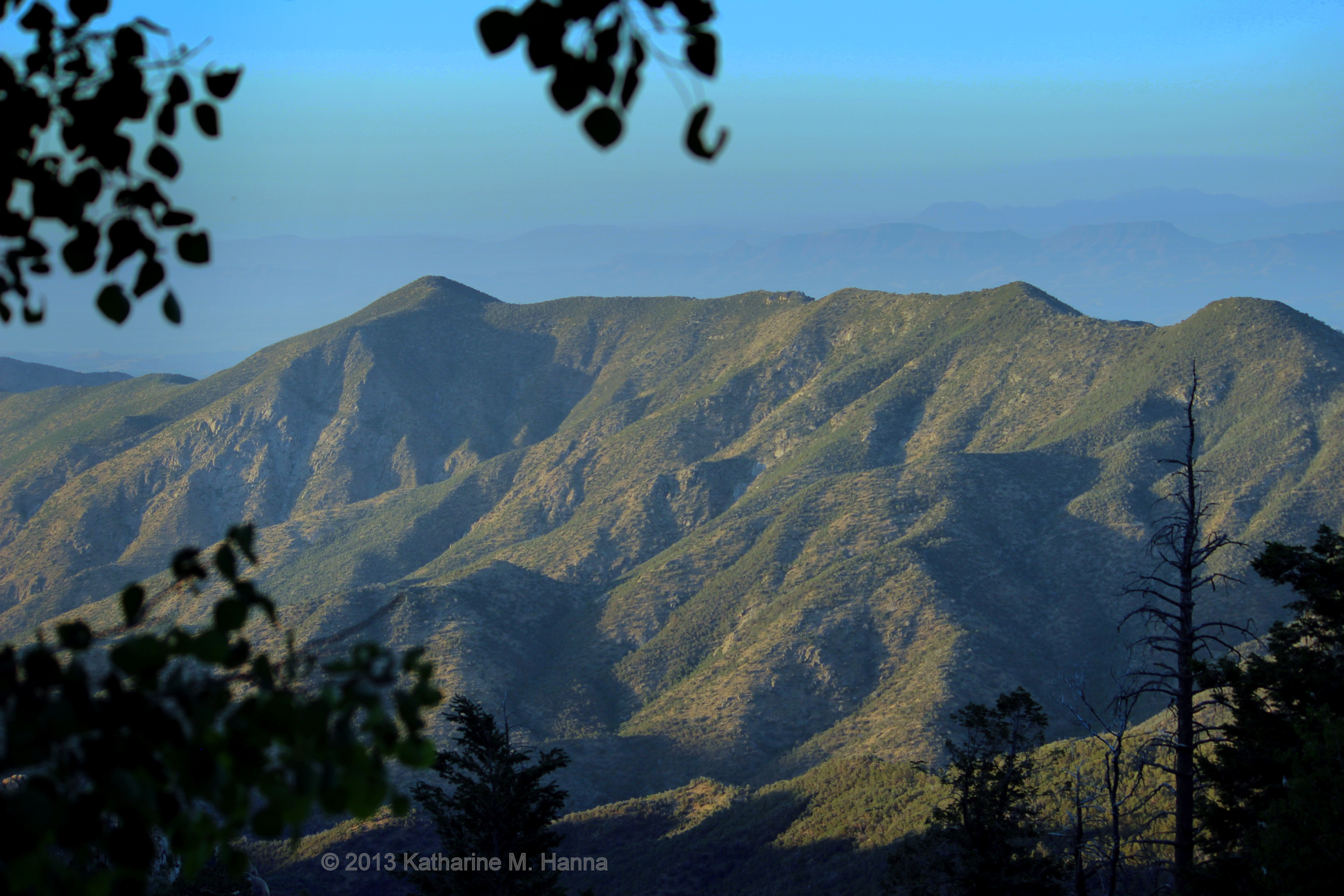
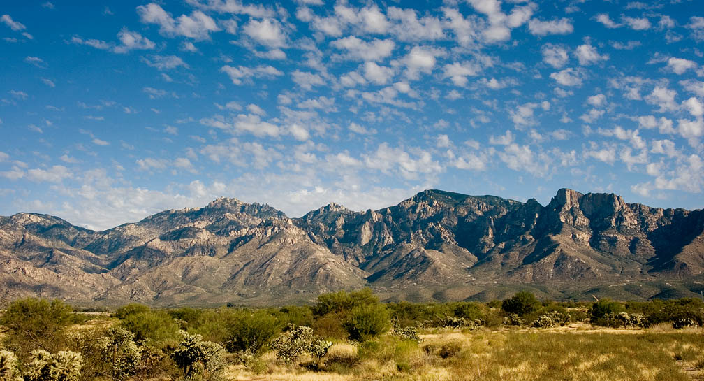
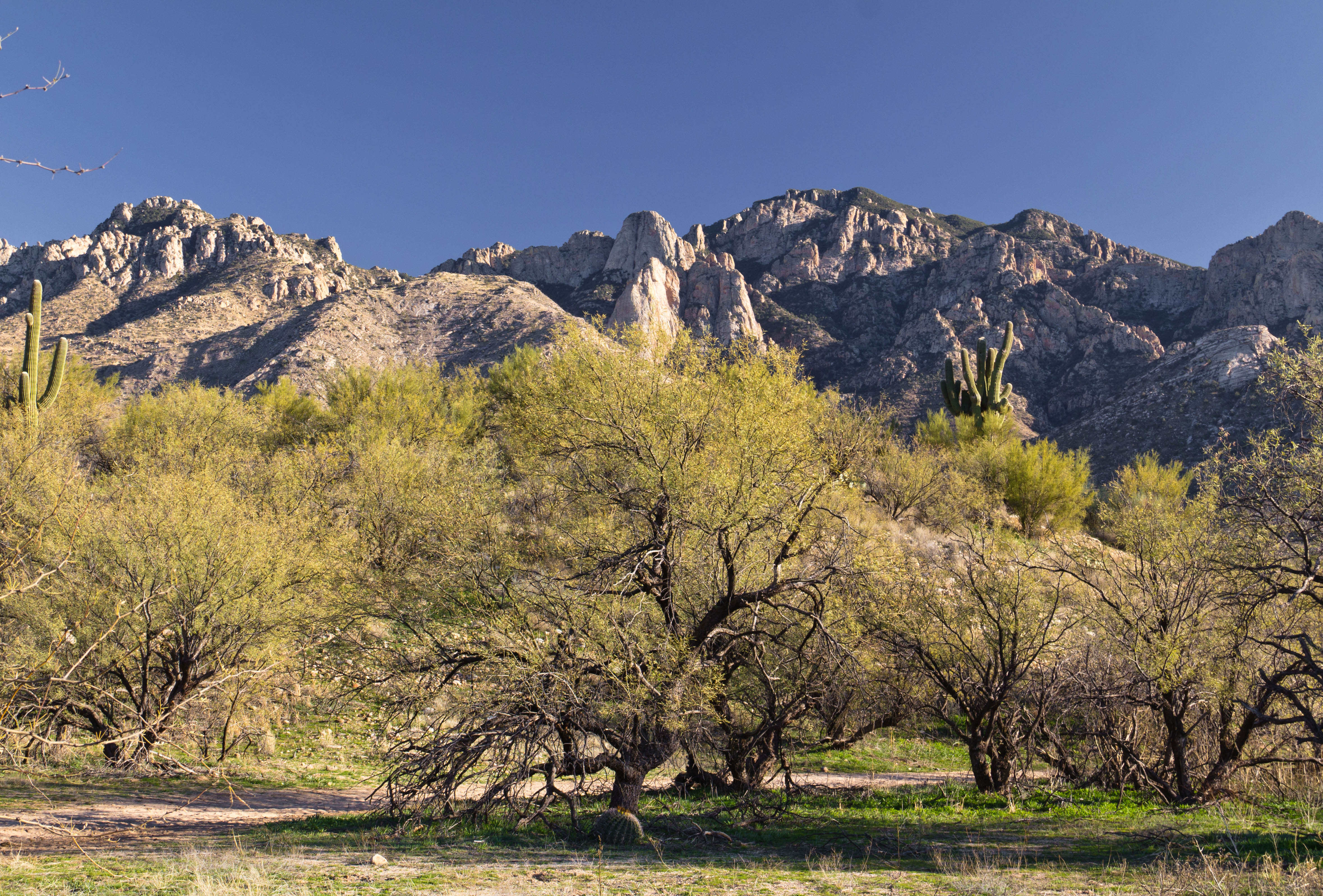
Catalina Mountains

Mixed Clouds

Biosphere 2
all that and a bag of chips

From Mt. Lemmon
miraval.arizona
Romero Canyon
Romero Canyon
Pointing at the Sky

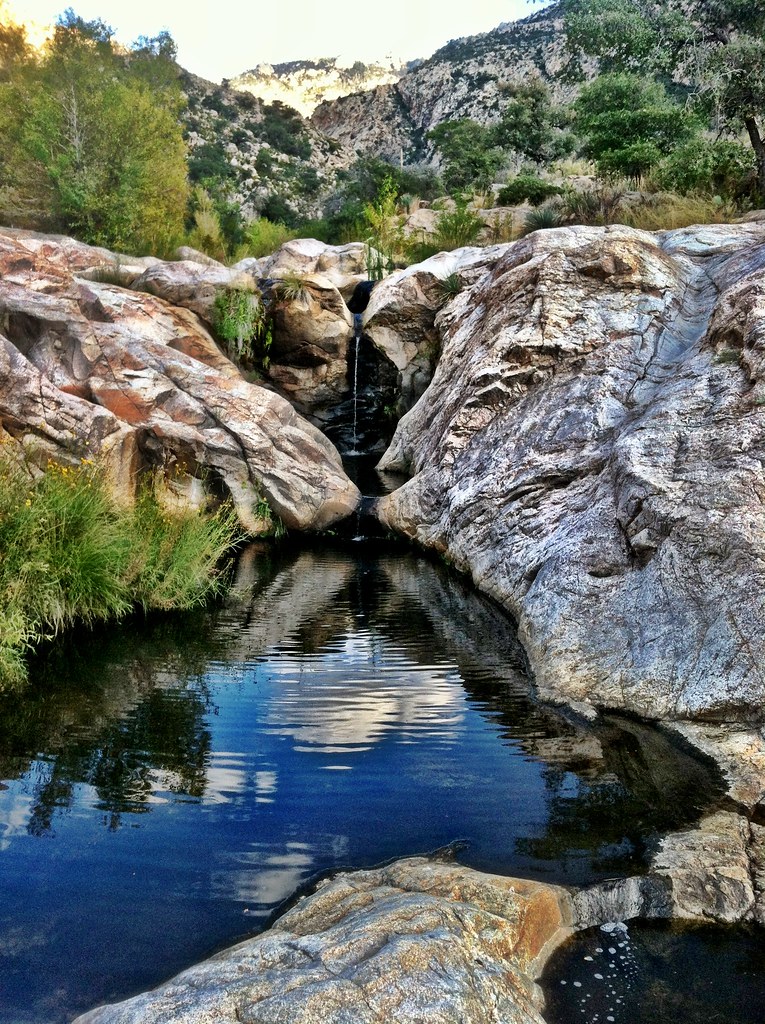
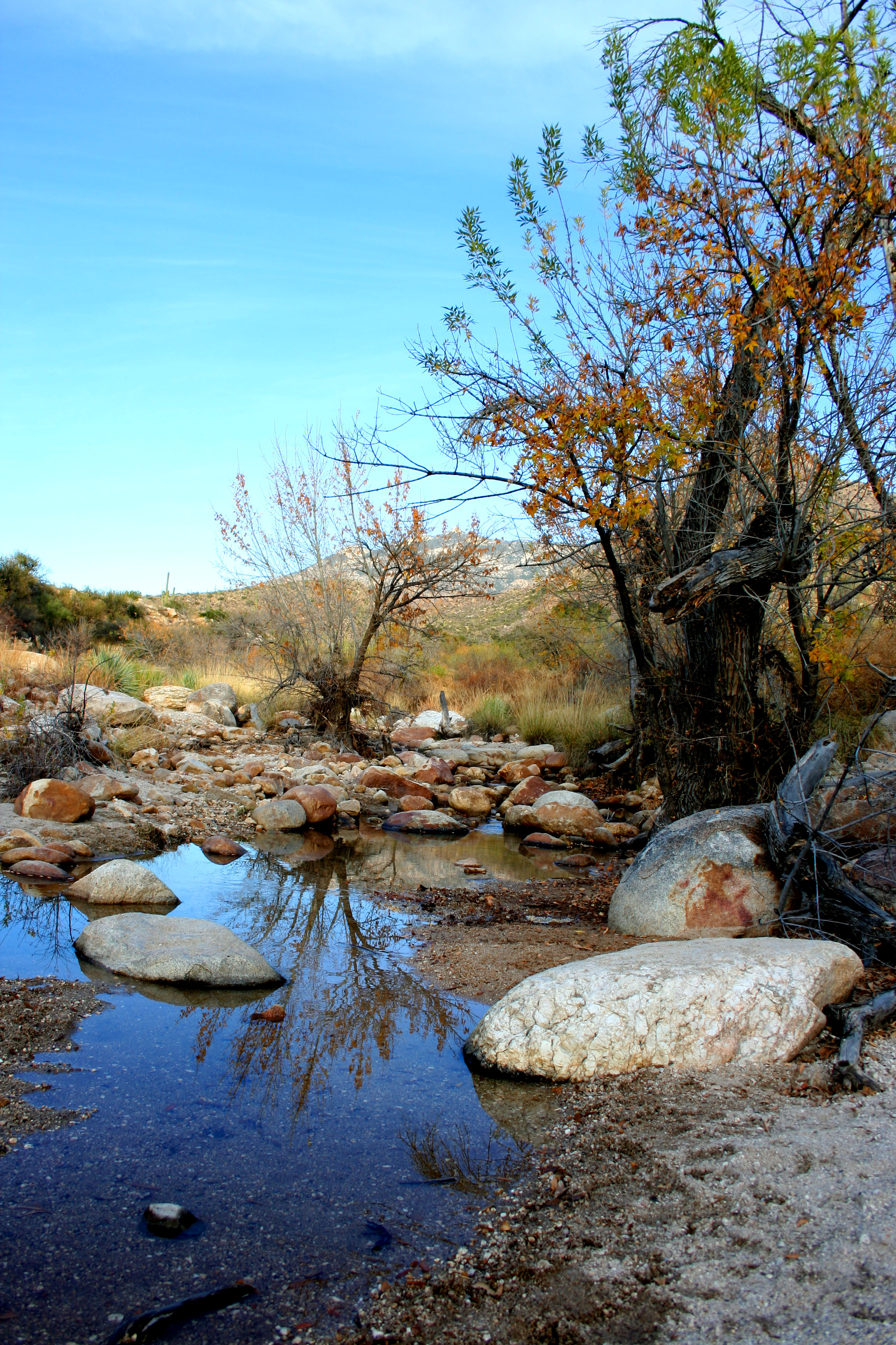
Stream by Romero Pools, Arizona
Sunset Reflections in Sutherland Wash

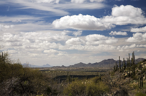
Saguaro and storm
Climbing out of the Wilderness or Rocks - Santa Catalina Mountains
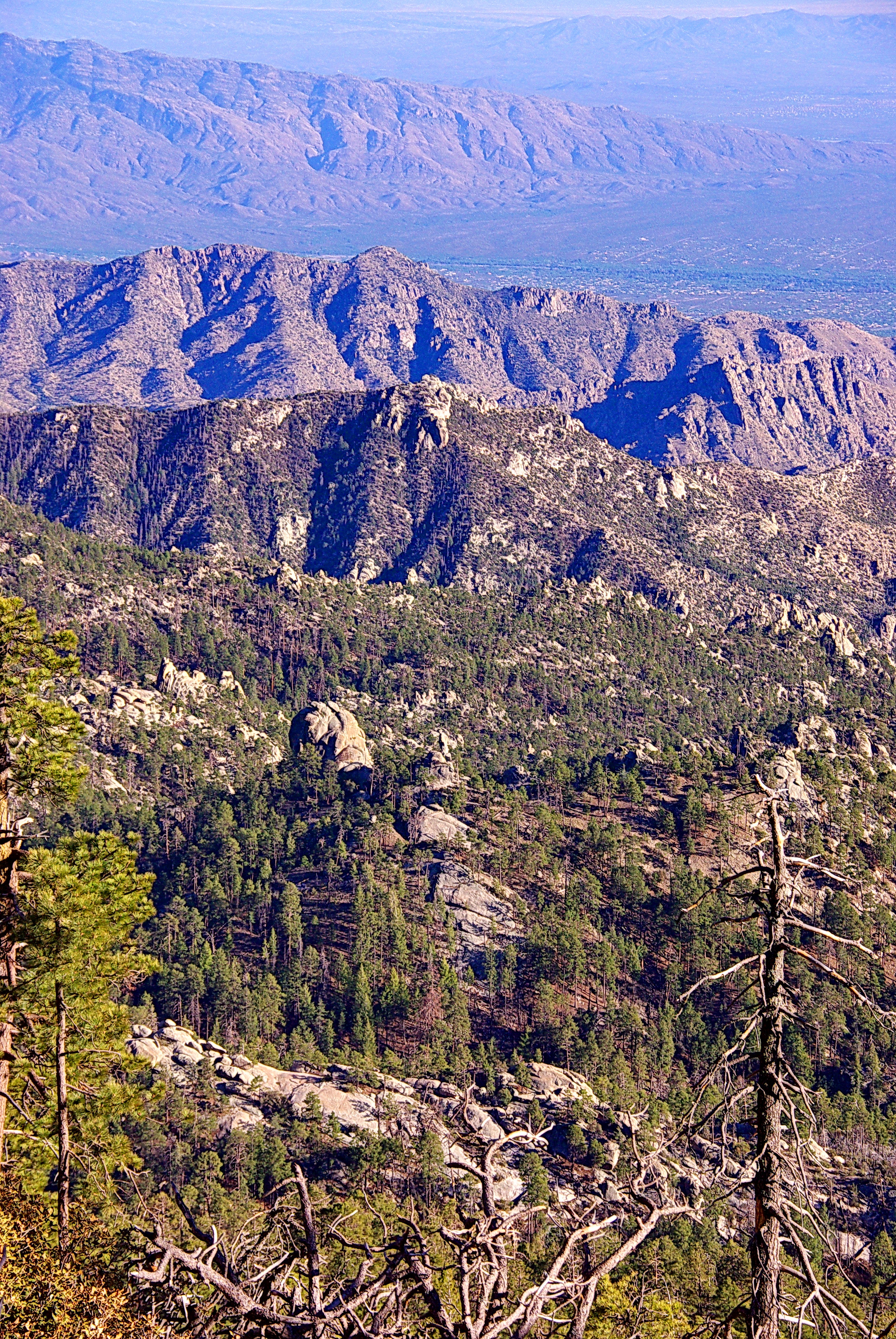
Mt. Lemmon
12-6-08ClassCatalinaStatePark 098

lanterns in the trees
Topographic Map of The Preserve at SaddleBrooke, E Catalina Hills Dr, Tucson, AZ, USA
Find elevation by address:

Places near The Preserve at SaddleBrooke, E Catalina Hills Dr, Tucson, AZ, USA:
66701 E Sundance Pl
36582 S Ocotillo Canyon Dr
65833 E Rose Crest Dr
65688 E Mesa Ridge Ct
35927 S Wind Crest Dr
65724 E Desert Sands Dr
South Ocotillo Canyon Drive
36998 S Golf Course Dr
37380 S Ocotillo Canyon Dr
37513 S Ocotillo Canyon Dr
37730 S Ocotillo Canyon Dr
66103 E Cleek Dr
37838 S Cleek Dr
37219 S Highland Ridge Dr
38216 S Arroyo Way
65780 E Rolling Hills Dr
38210 S Golf Course Dr
38307 S Golf Course Dr
64950 E Canyon Dr
64885 E Canyon Dr
Recent Searches:
- Elevation of Corso Fratelli Cairoli, 35, Macerata MC, Italy
- Elevation of Tallevast Rd, Sarasota, FL, USA
- Elevation of 4th St E, Sonoma, CA, USA
- Elevation of Black Hollow Rd, Pennsdale, PA, USA
- Elevation of Oakland Ave, Williamsport, PA, USA
- Elevation of Pedrógão Grande, Portugal
- Elevation of Klee Dr, Martinsburg, WV, USA
- Elevation of Via Roma, Pieranica CR, Italy
- Elevation of Tavkvetili Mountain, Georgia
- Elevation of Hartfords Bluff Cir, Mt Pleasant, SC, USA