Elevation of Oracle, AZ, USA
Location: United States > Arizona > Pinal County >
Longitude: -110.77093
Latitude: 32.6109054
Elevation: 1378m / 4521feet
Barometric Pressure: 86KPa
Elevation Map:
Satellite Map:
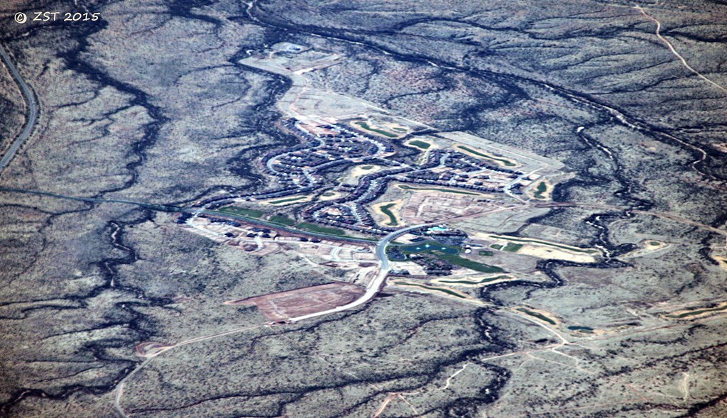
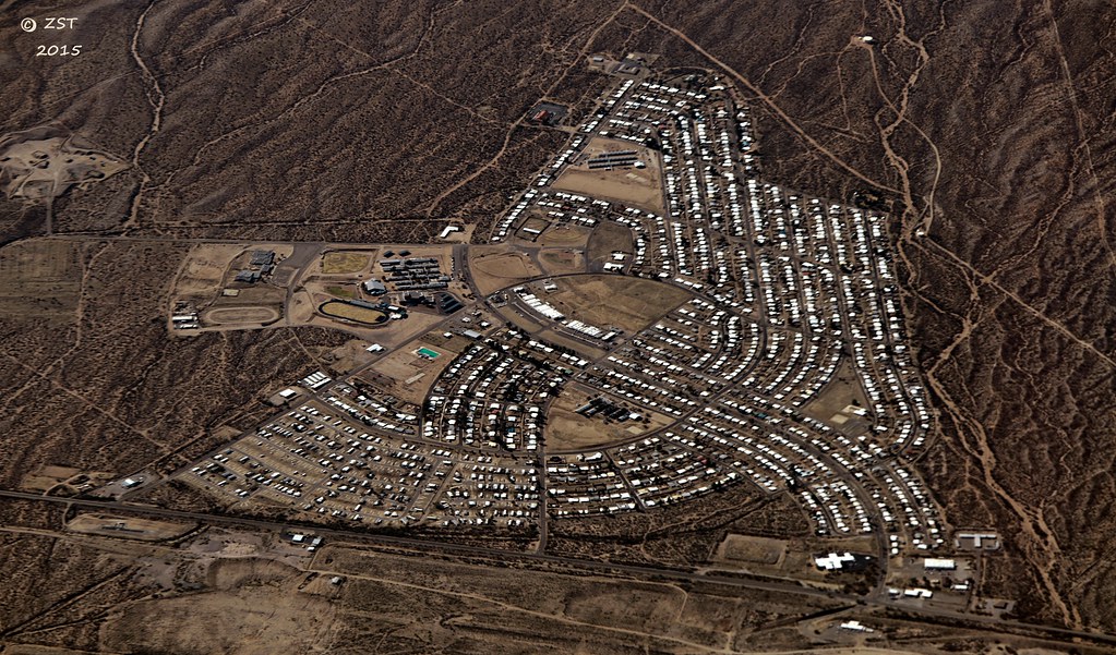
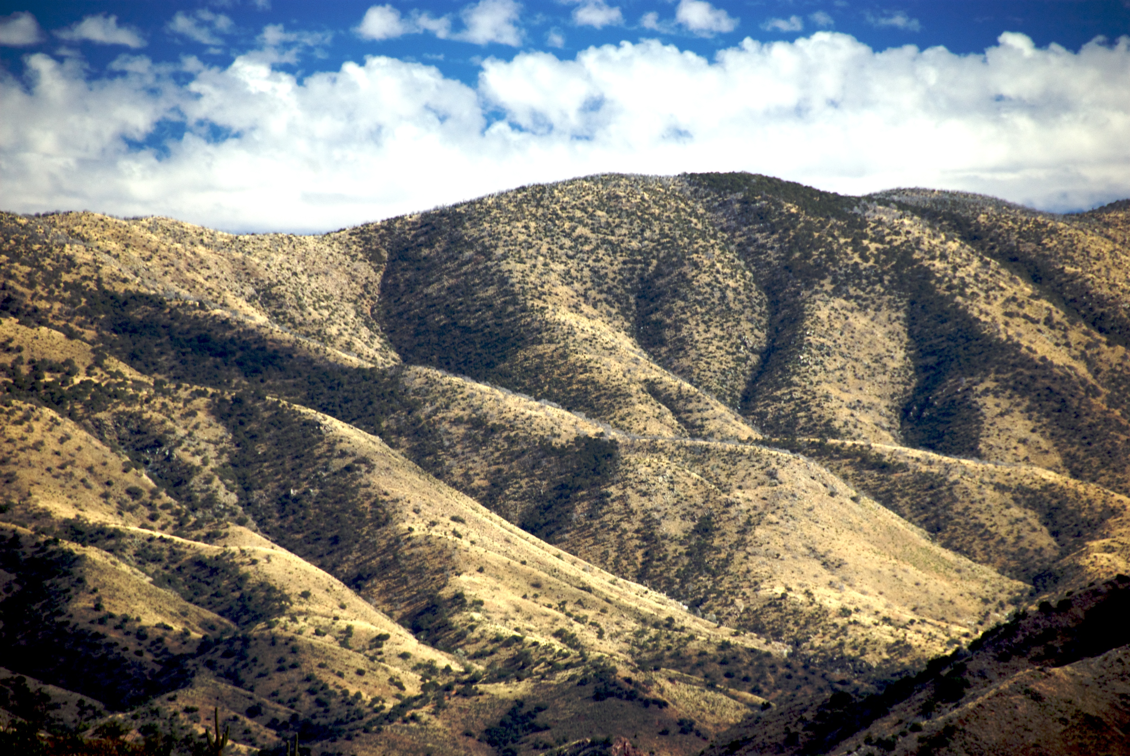
Related Photos:

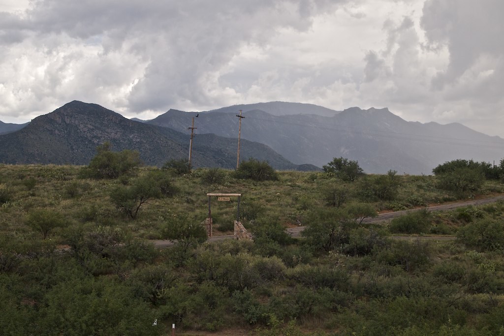
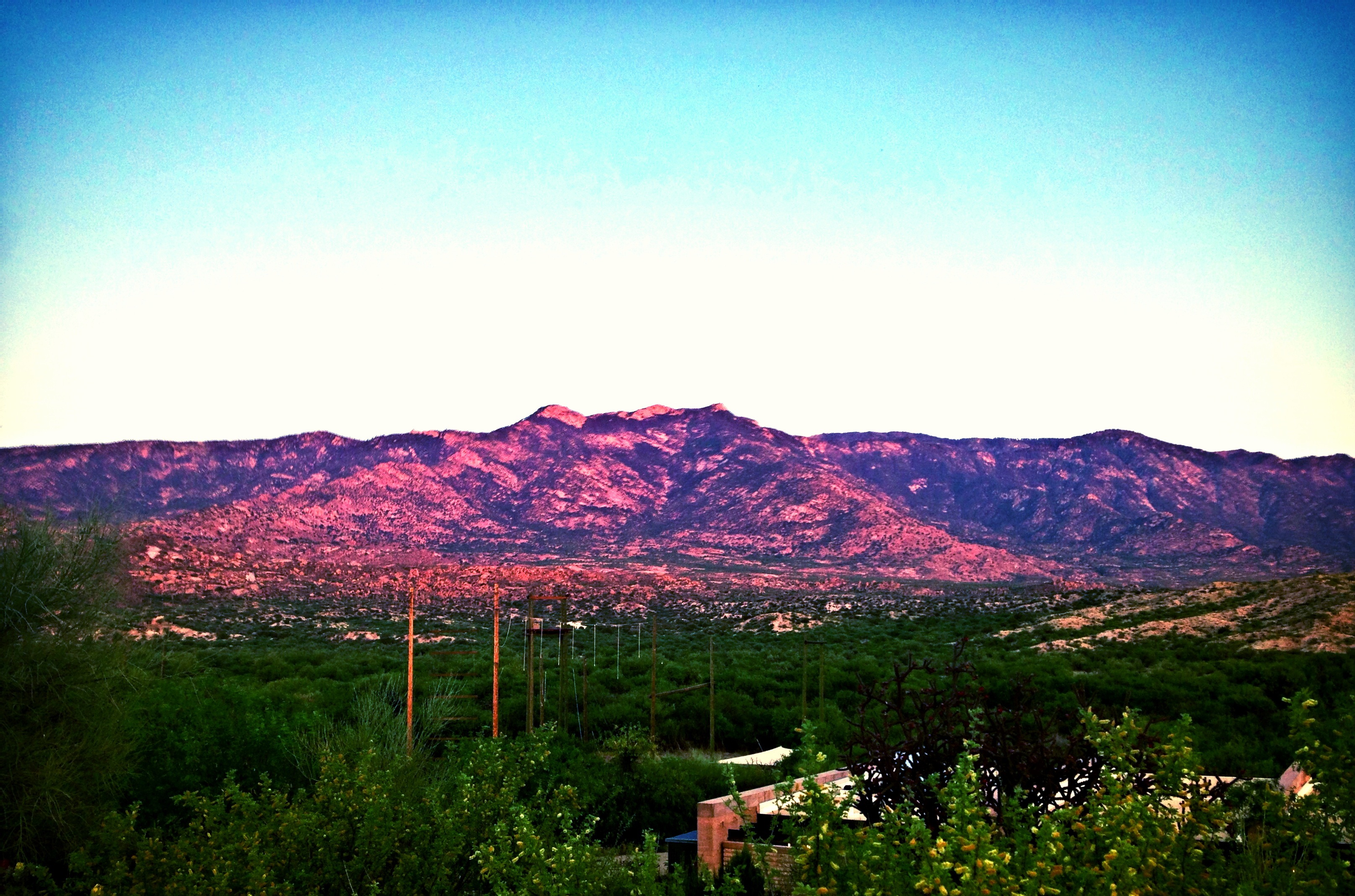
1203 View from Oracle State Park
1305 North Ridges
Day-11: Biosphere2_4697d

I Will Remain Forever
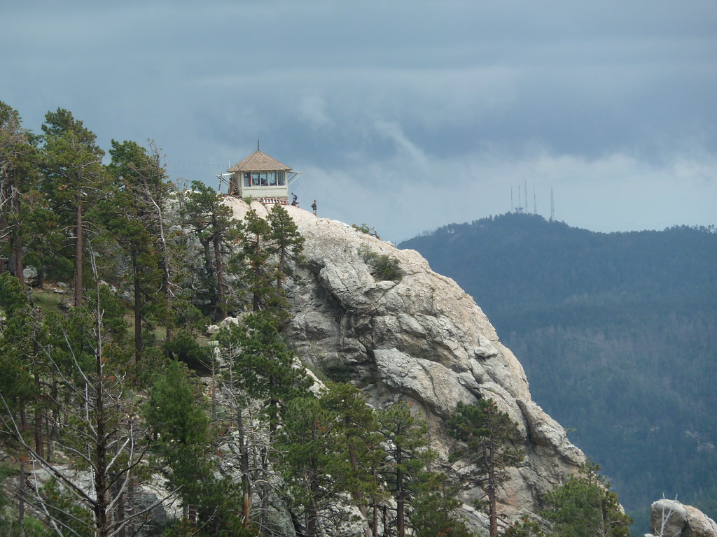
standing watch
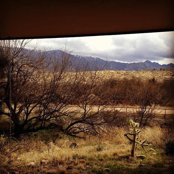
Room with a view - the AZ desert at Mirival
Oracle, AZ
San Manuel, AZ
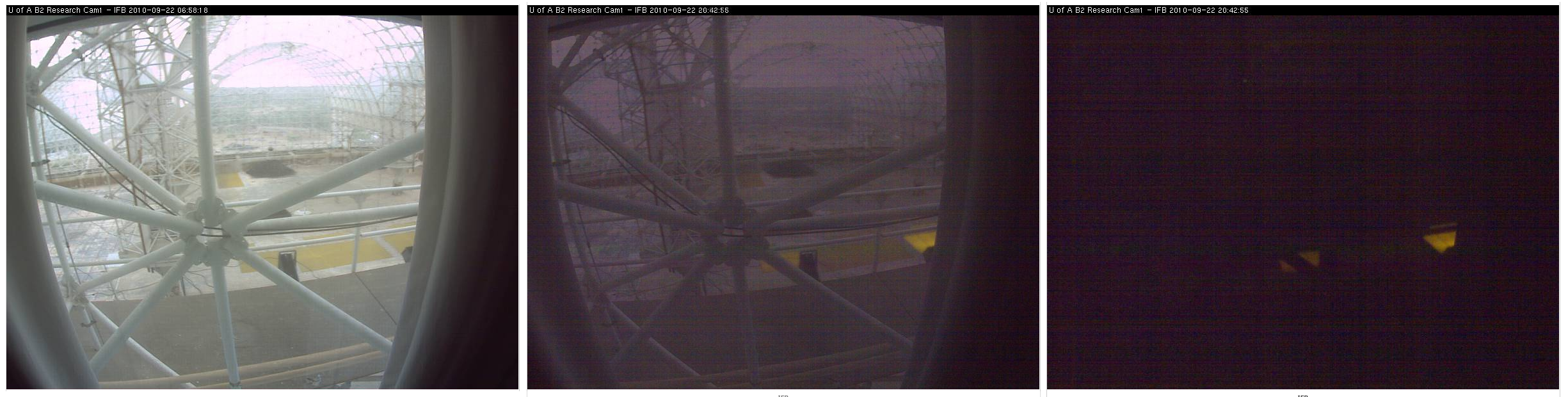
Biosphere 2 Bio-luminescent too?
View Of Desert From Biosphere 2

The View Towards Copper Hill and Margaret Wash

Catching air
biosphere2_ 036

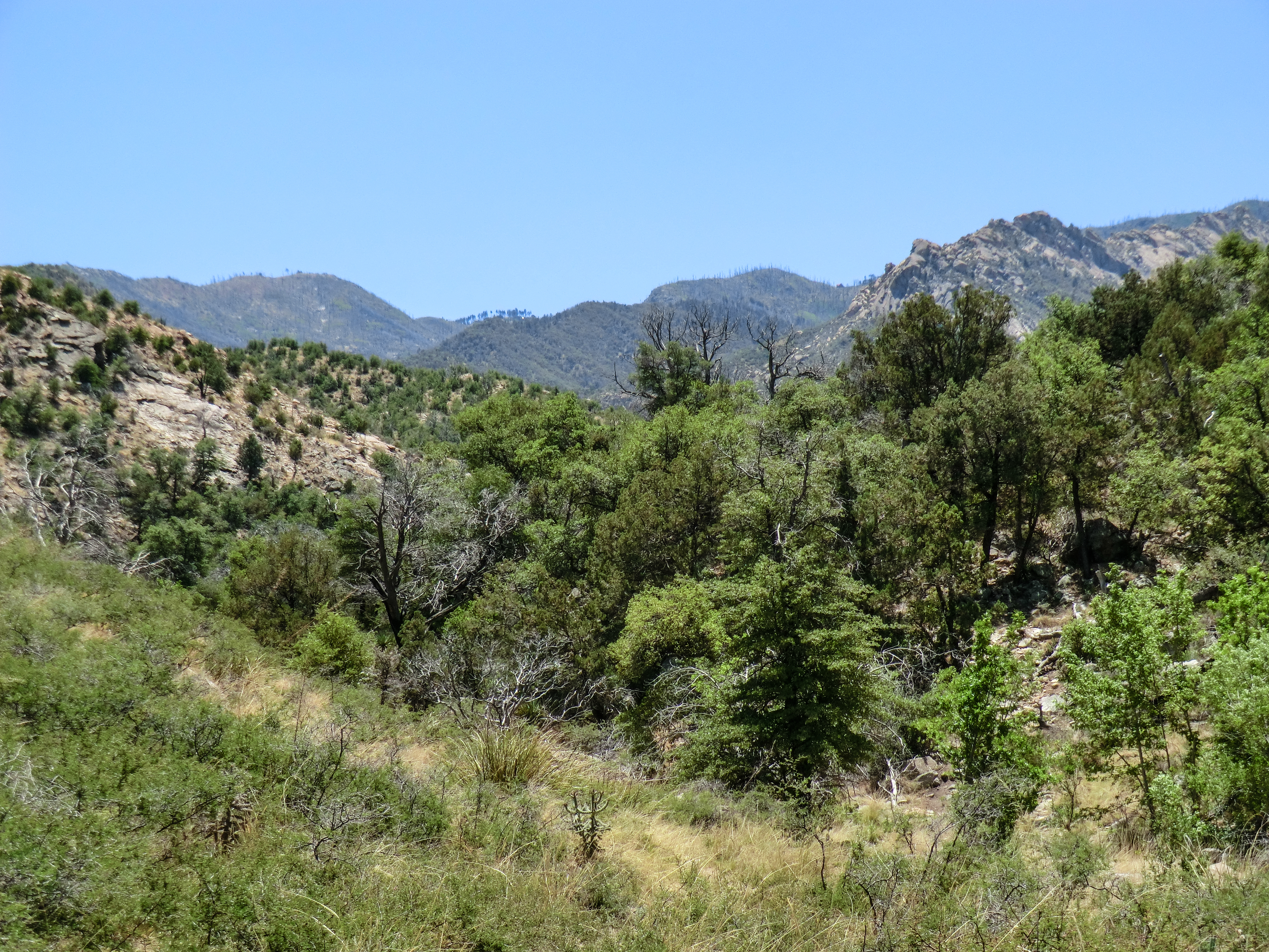
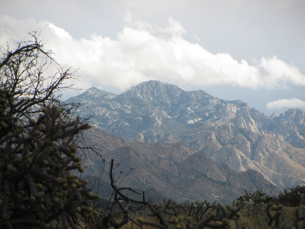
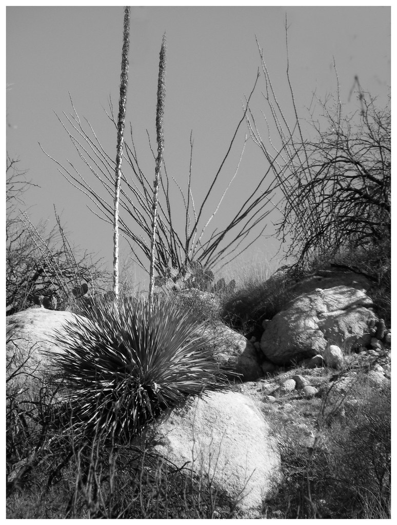
Santa Catalina Mountains near Oracle, AZ

spiral staircase to the future
biosphere2_ 019
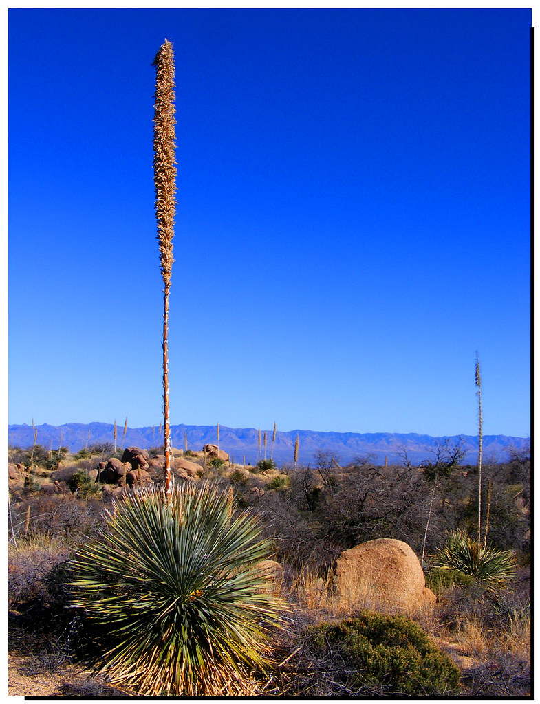
First Views 2
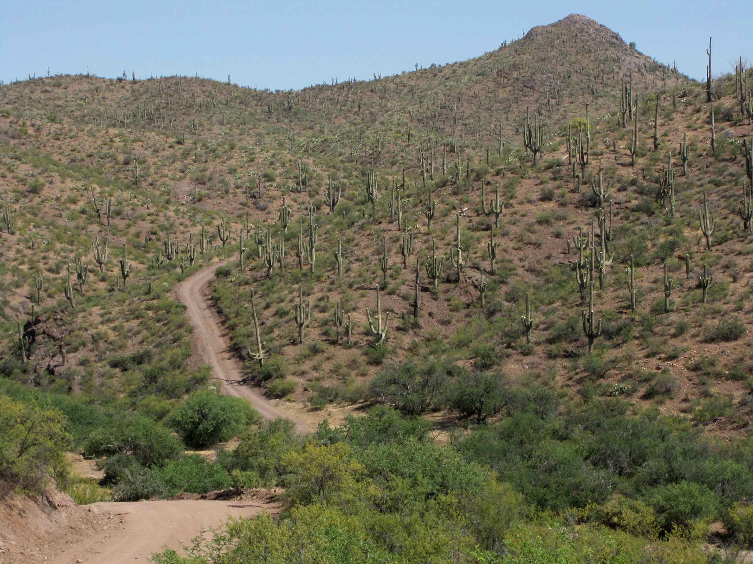
View of side jeep trail which goes to Pearl Mine from Tucson Wash road, W of Mammoth, AZ
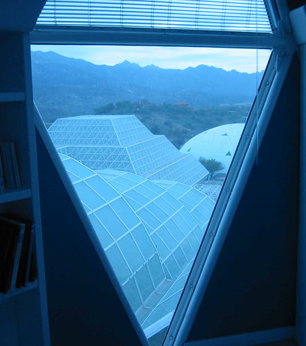
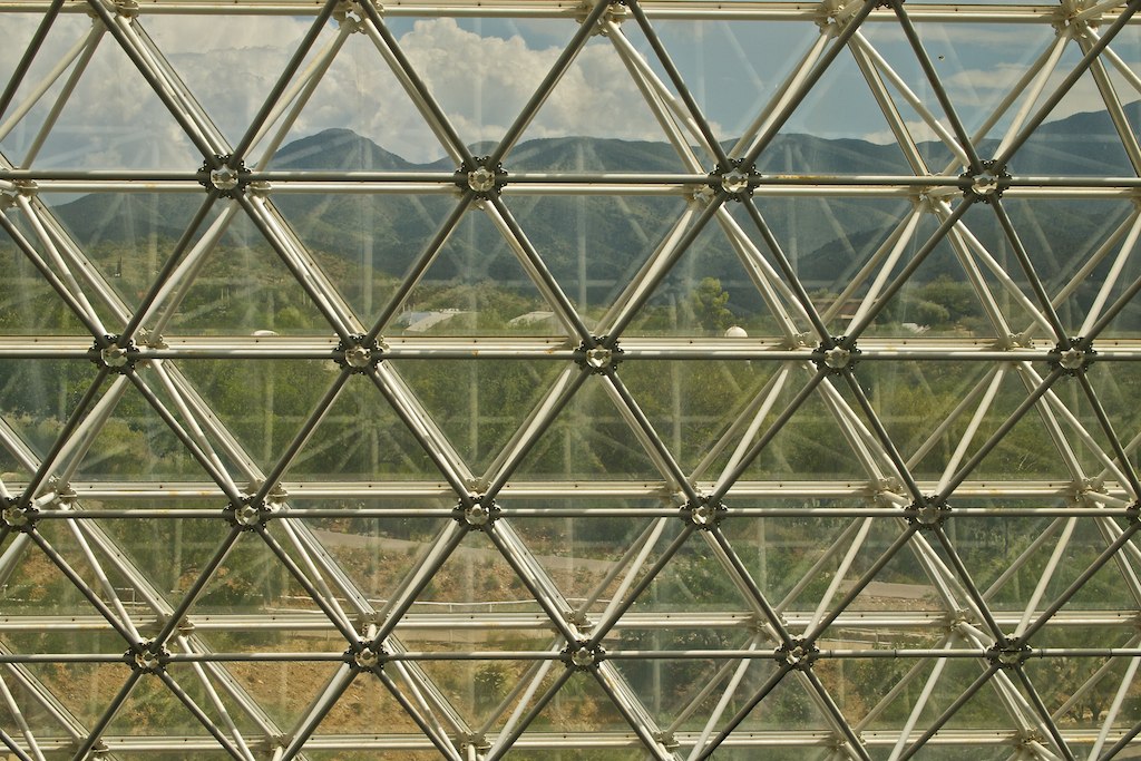
the future, as seen though a glass triangle darkly

The View
First Views
1308 Looking up the Canada del Oro
Old Sunset

In my folks 'backyard'

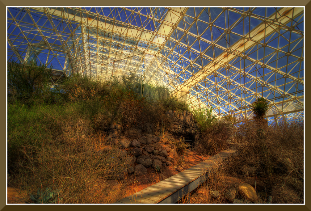
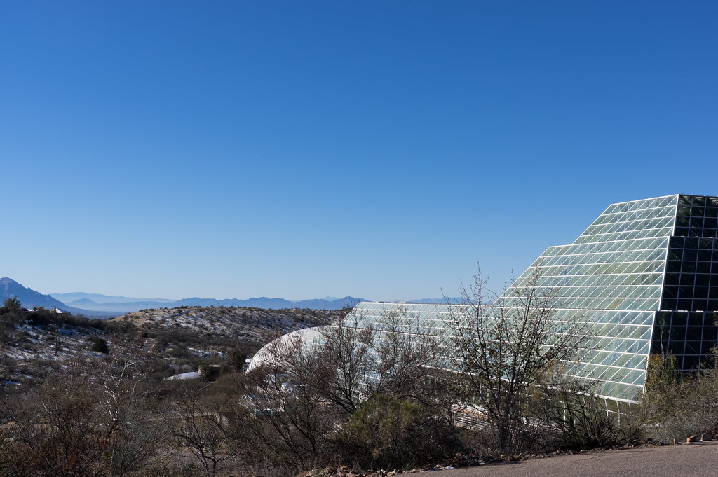
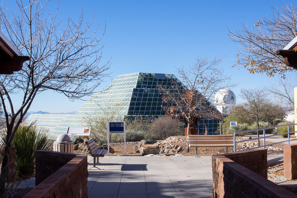
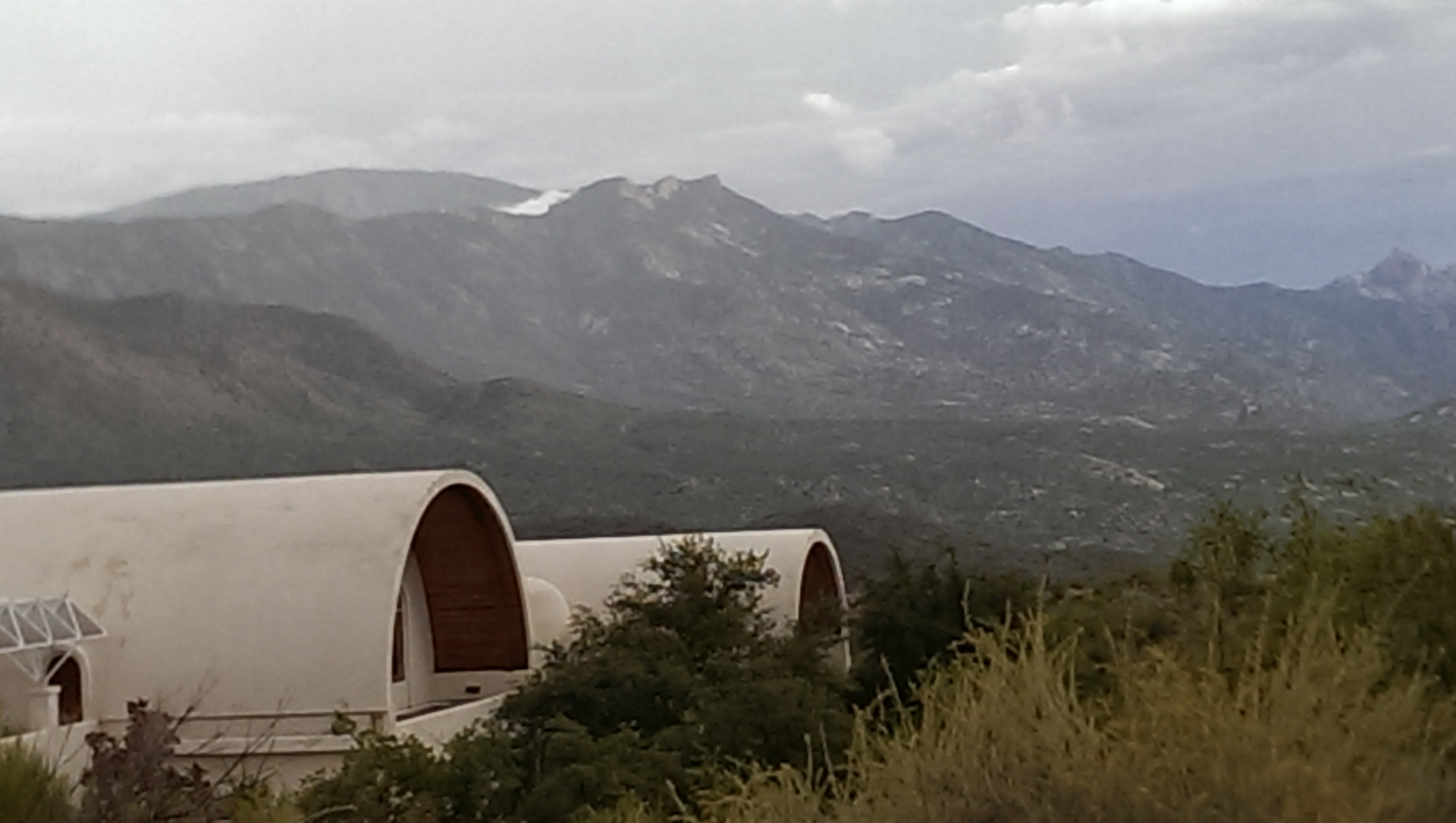
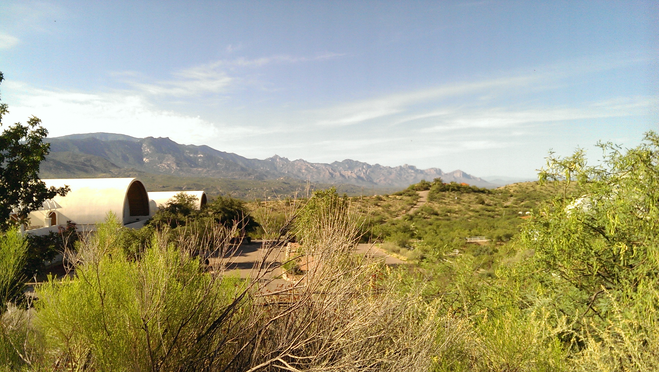
Biosphere 2
miraval.arizona
Pointing at the Sky

lanterns in the trees

IMG_0200.JPG
IMG_0199.JPG
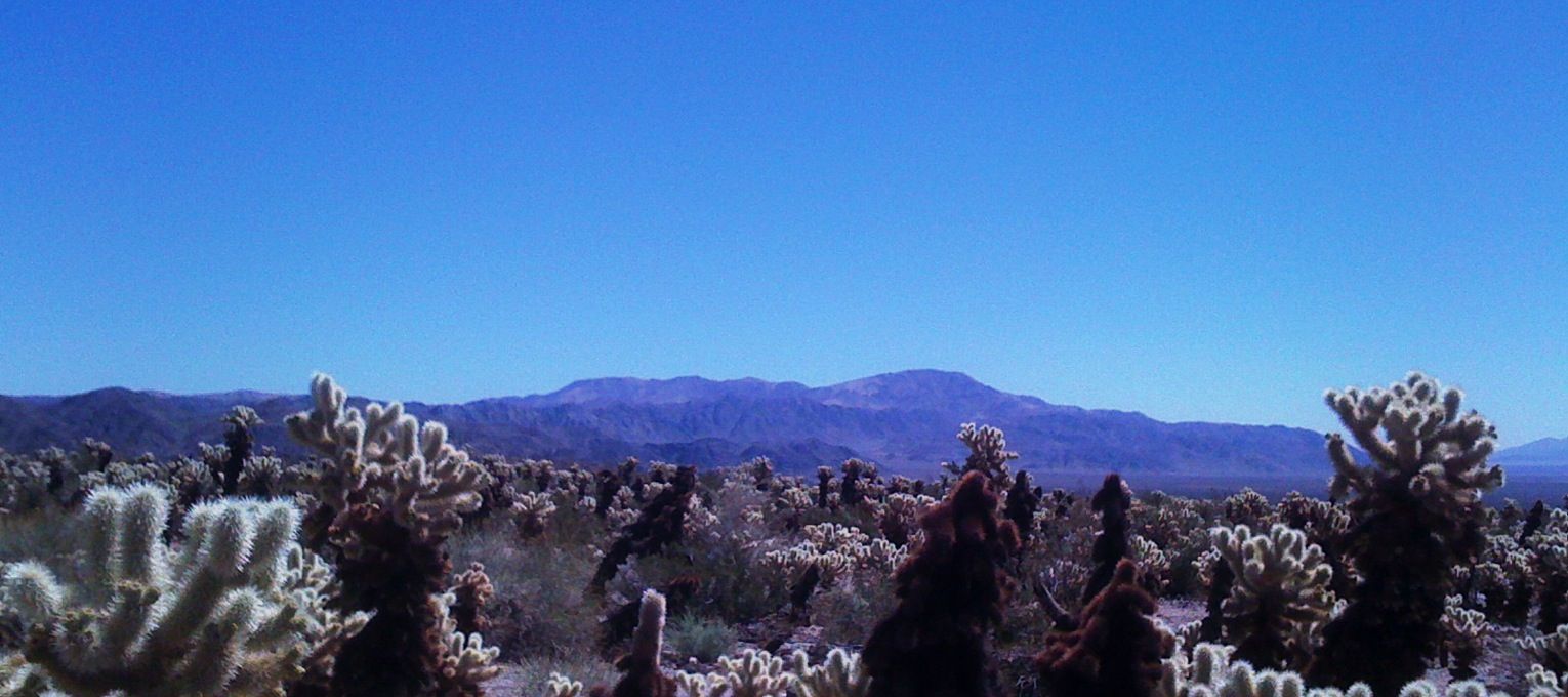
Pinto Peak and teddy bear cholla, J-tree

Catalina Sunset
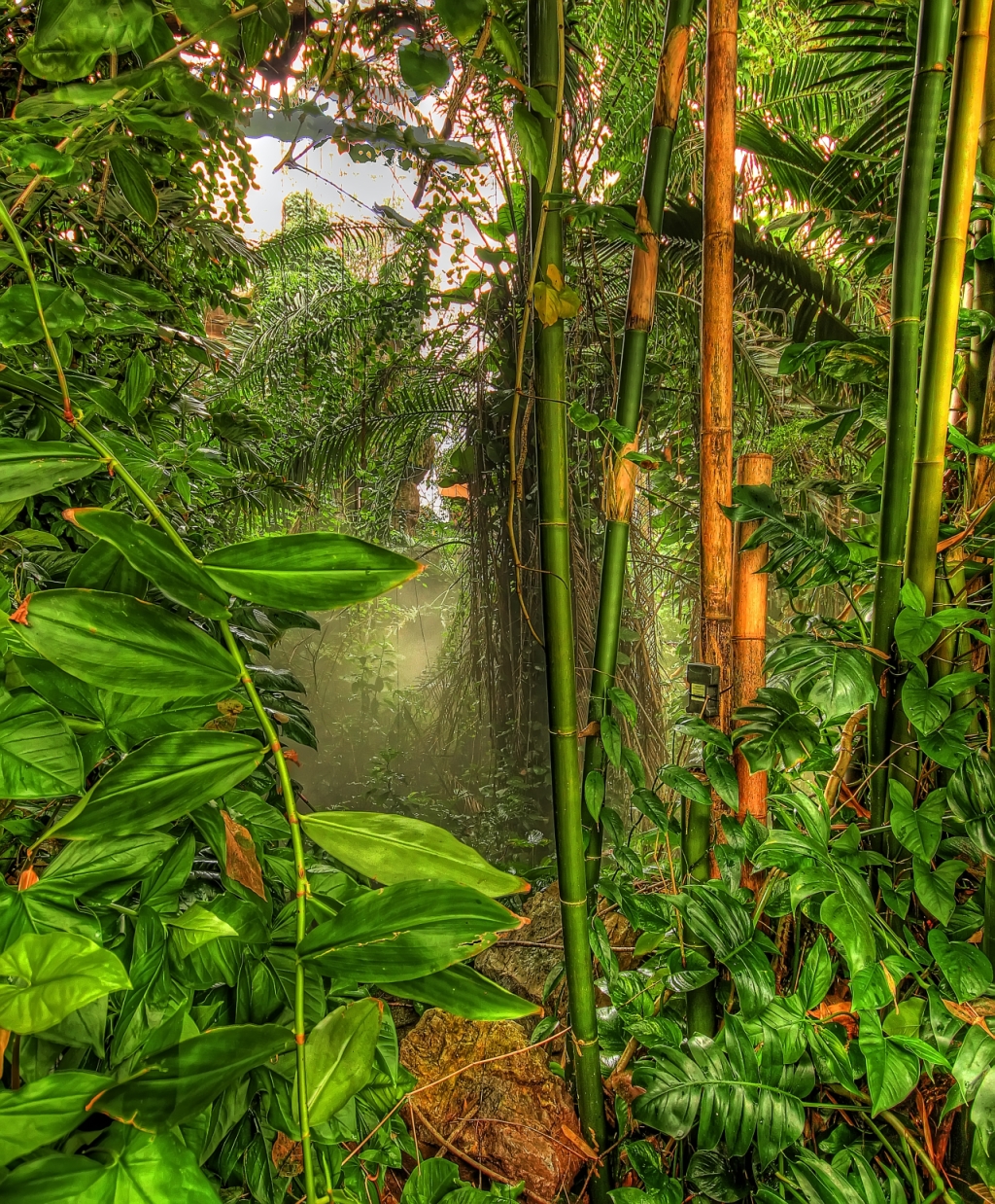
Tropical Rainforest
IMAG1310.jpg

Oracle Ridge Trail
IMAG1332.jpg
IMAG1325.jpg

Biosphere II_4721
Void of Color
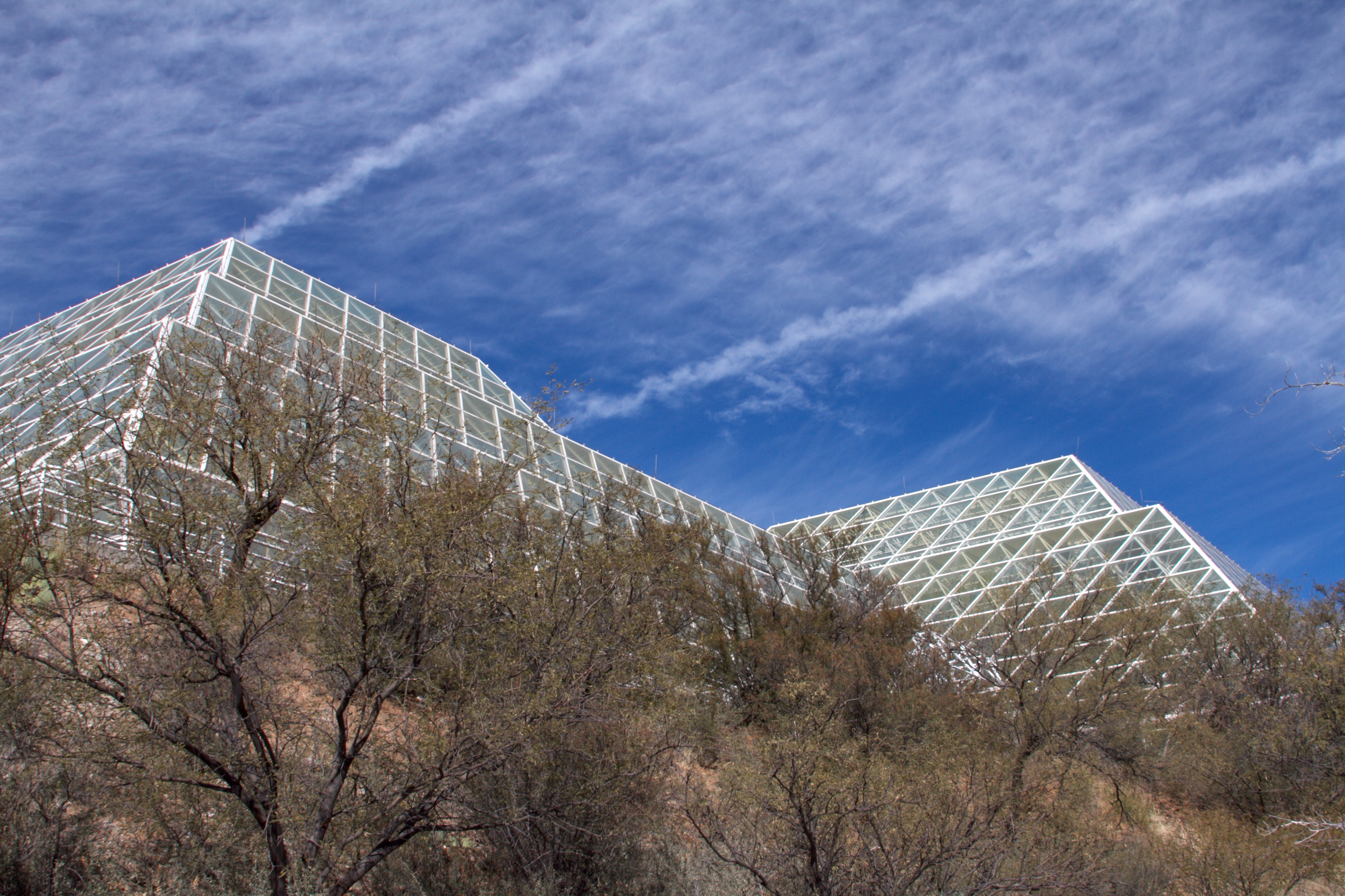
Biosphere 2
Topographic Map of Oracle, AZ, USA
Find elevation by address:

Places in Oracle, AZ, USA:
Places near Oracle, AZ, USA:
The Oracle Patio Cafe And Market
La Mariposa Street
755 N Church Dr
545 N Bonito Dr
650 W Linda Vista Rd
500 N Cody Loop Rd
333 N John Adams St
910 W La Osa St
West Neal Street
Triangle L Ranch Bed And Breakfast
1605 N Calle Coruna
1565 N Calle Valencia
West Oro Creek Drive
S Biosphere Rd, Tucson, AZ, USA
66701 E Sundance Pl
The Preserve At Saddlebrooke
36582 S Ocotillo Canyon Dr
35927 S Wind Crest Dr
65688 E Mesa Ridge Ct
65833 E Rose Crest Dr
Recent Searches:
- Elevation of Corso Fratelli Cairoli, 35, Macerata MC, Italy
- Elevation of Tallevast Rd, Sarasota, FL, USA
- Elevation of 4th St E, Sonoma, CA, USA
- Elevation of Black Hollow Rd, Pennsdale, PA, USA
- Elevation of Oakland Ave, Williamsport, PA, USA
- Elevation of Pedrógão Grande, Portugal
- Elevation of Klee Dr, Martinsburg, WV, USA
- Elevation of Via Roma, Pieranica CR, Italy
- Elevation of Tavkvetili Mountain, Georgia
- Elevation of Hartfords Bluff Cir, Mt Pleasant, SC, USA