Elevation of W 3rd Ave, San Manuel, AZ, USA
Location: United States > Arizona > Pinal County > San Manuel >
Longitude: -110.6367435
Latitude: 32.6018058
Elevation: 1069m / 3507feet
Barometric Pressure: 0KPa
Related Photos:
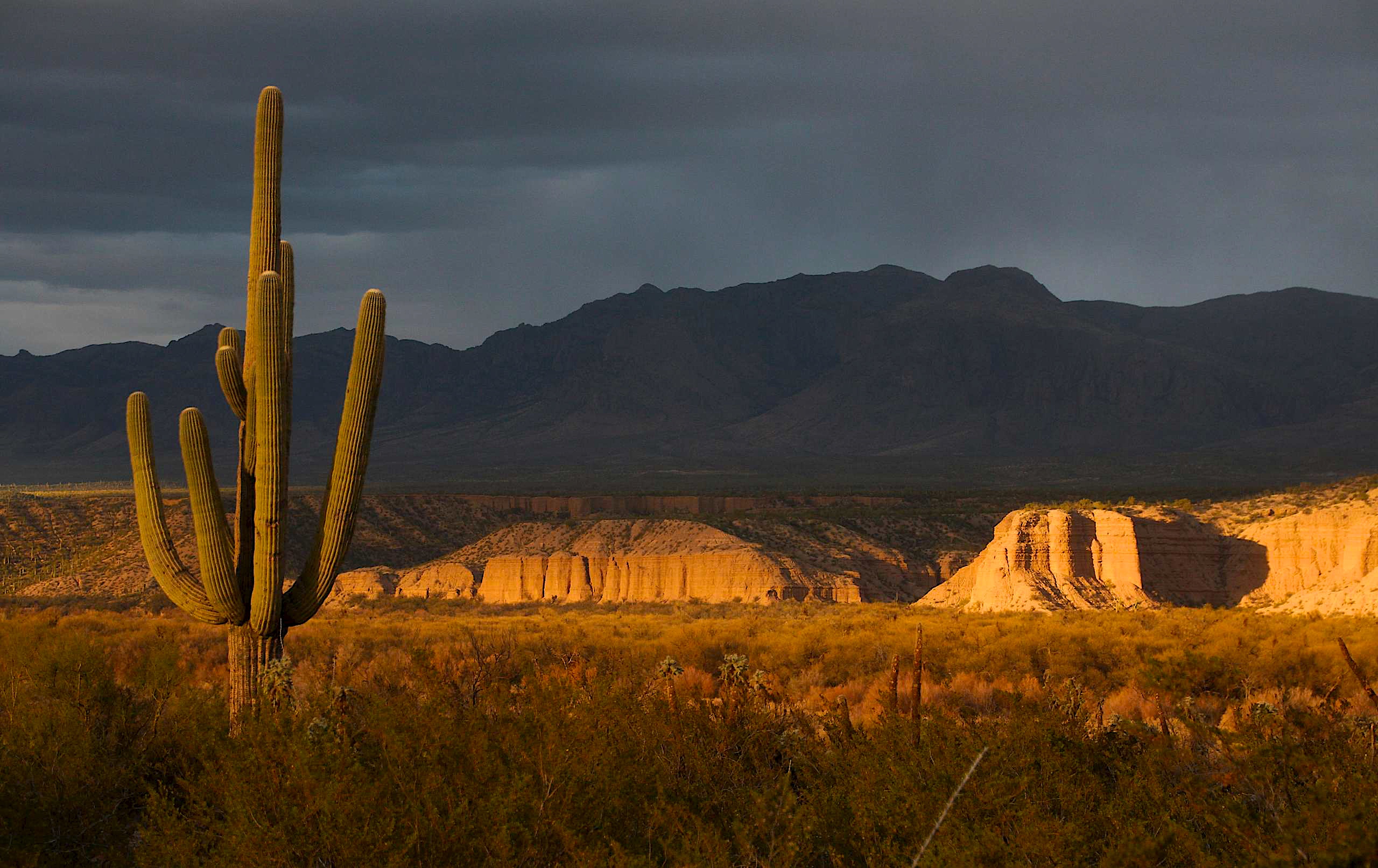
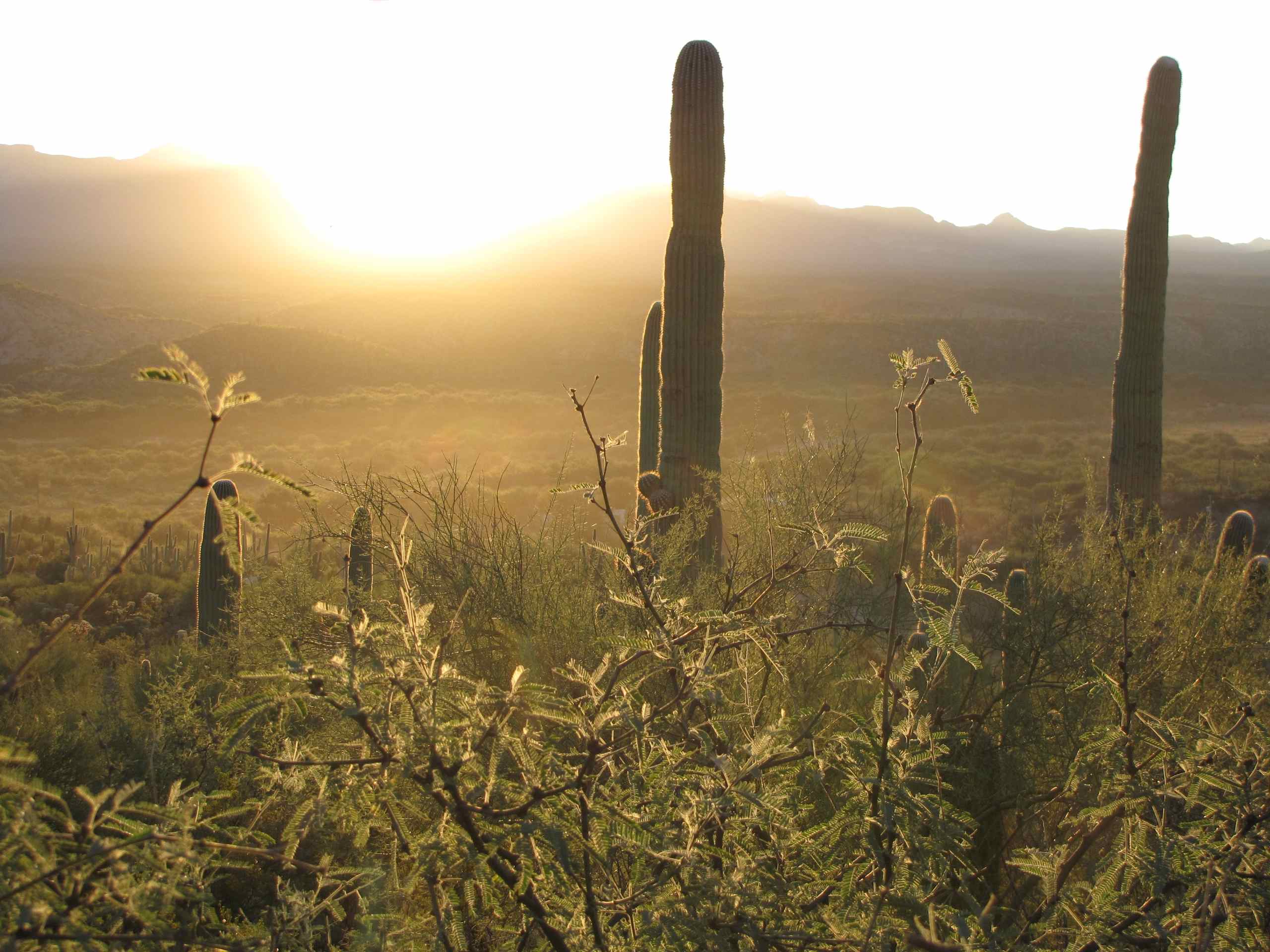
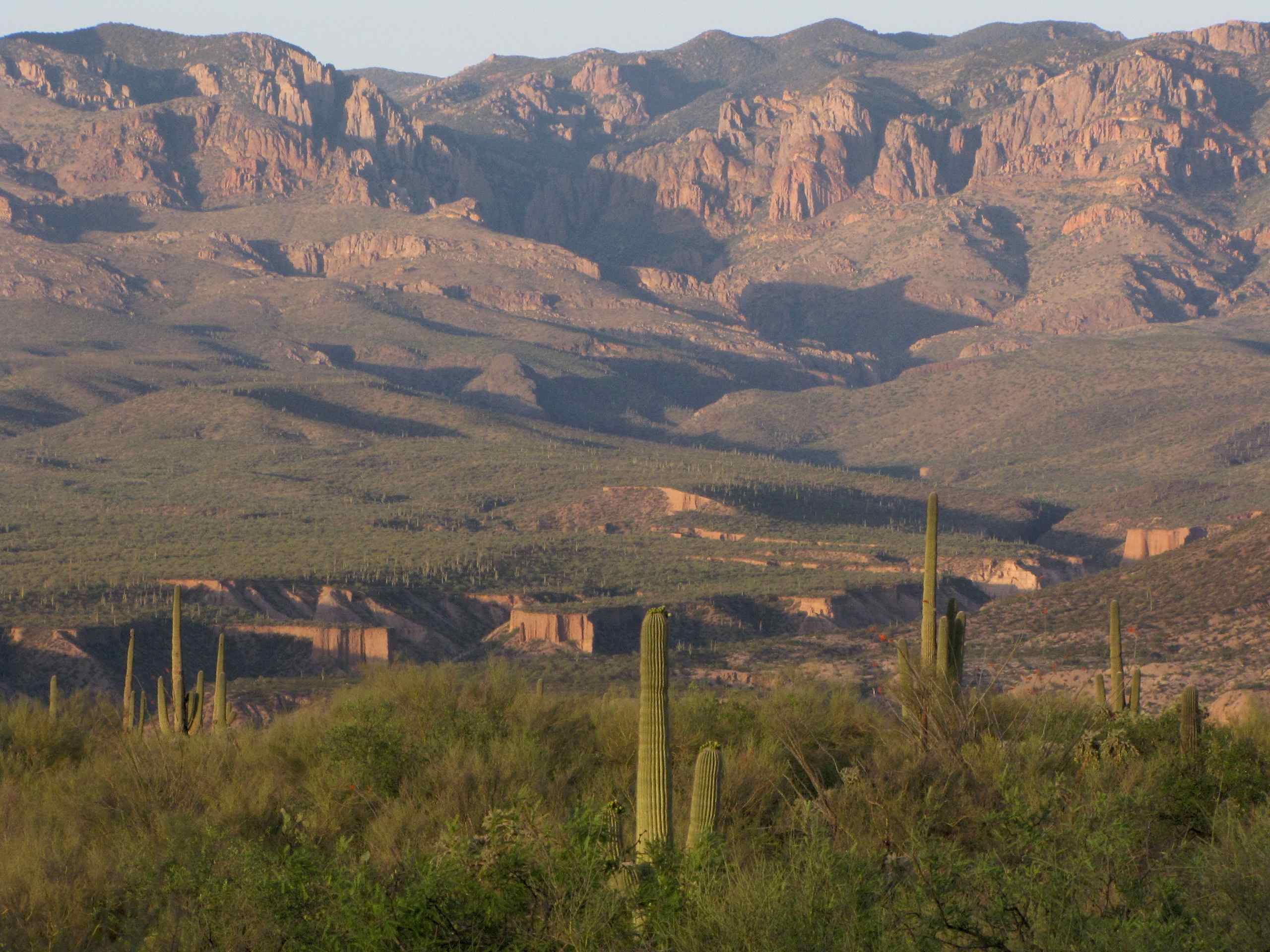
View of the Galiuro Mountains and Saguaro Cacti at sunset; San Pedro River Valley, AZ

View of lower Kielberg Canyon, from ridge N of Kielberg Canyon, SE of San Manuel, AZ
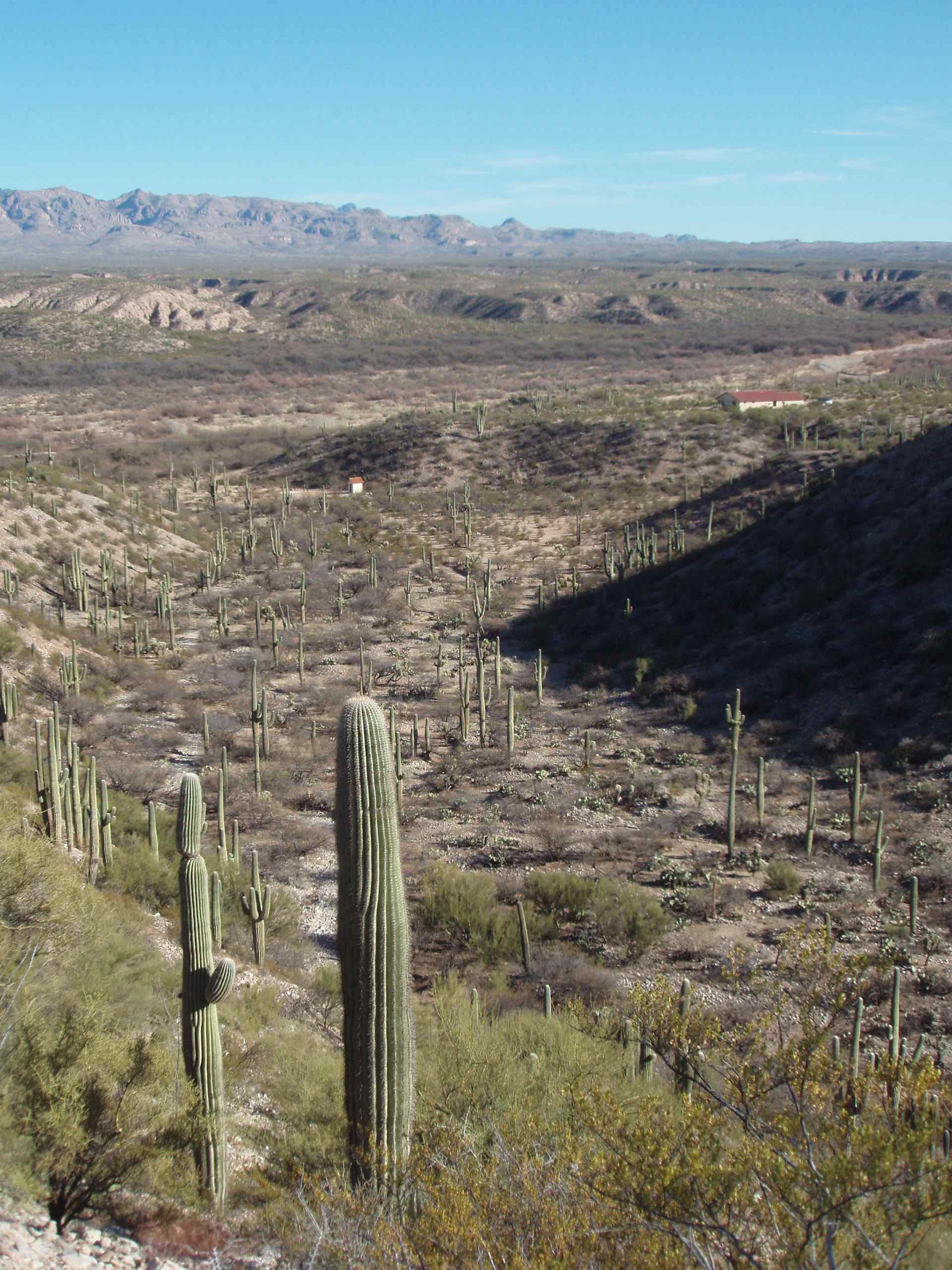
Saguaro Cacti in small wash ("Hunter's Wash") just S of Alder Wash with view of Galiuro Mountain s and entrance to Kielberg Canyon behind; SE of San Manuel, AZ

View of full moon over Galiuro Mountains, SE of San Manuel, AZ
New Year's view of snow on Galiuro Mountians from Sacaton Ranch Road, N of Kielberg Canyon, SE of San Manuel, AZ
View of Wash and San Pedro Valley with Galiuro Mountains behind; SE Arizona
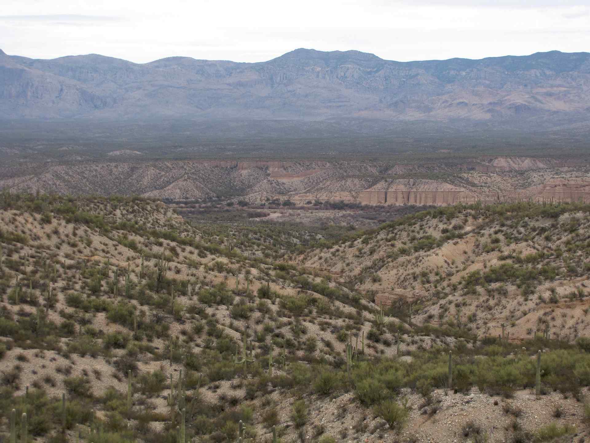
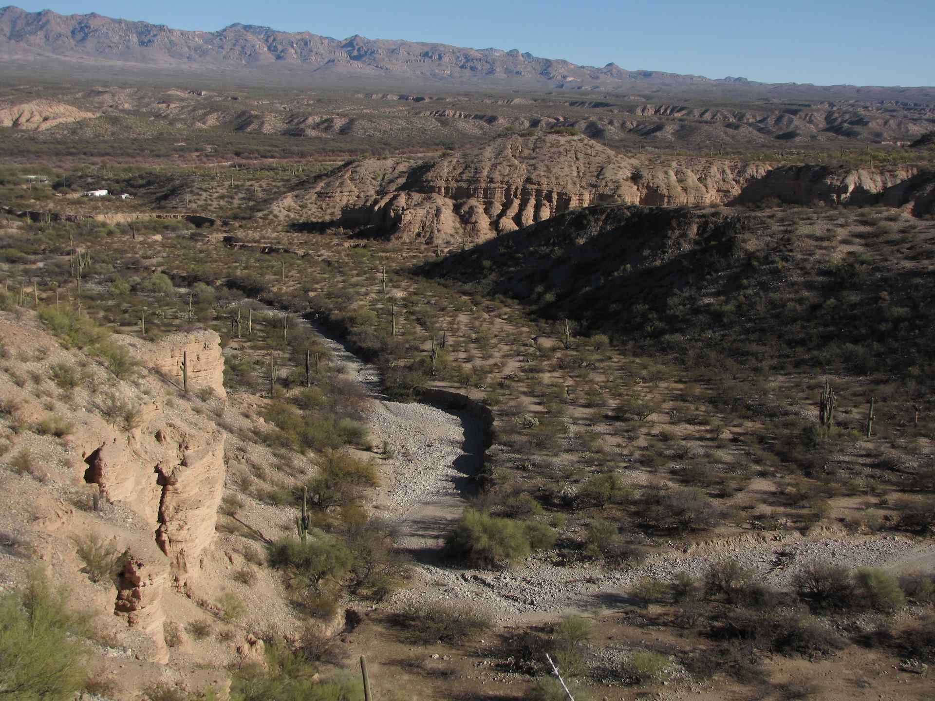
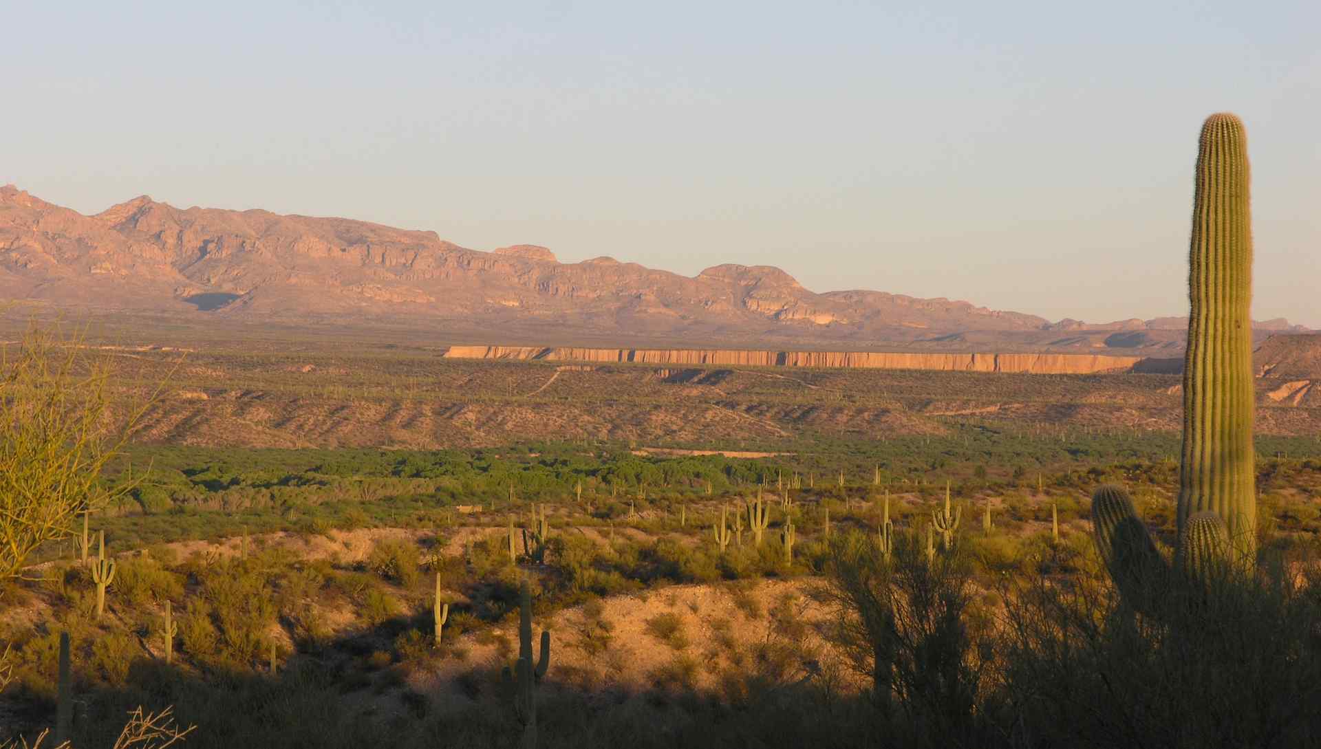
View of San Pedro River Valley and Kielberg Canyon from mesa S of Alder Wash, SE of San Manuel, AZ
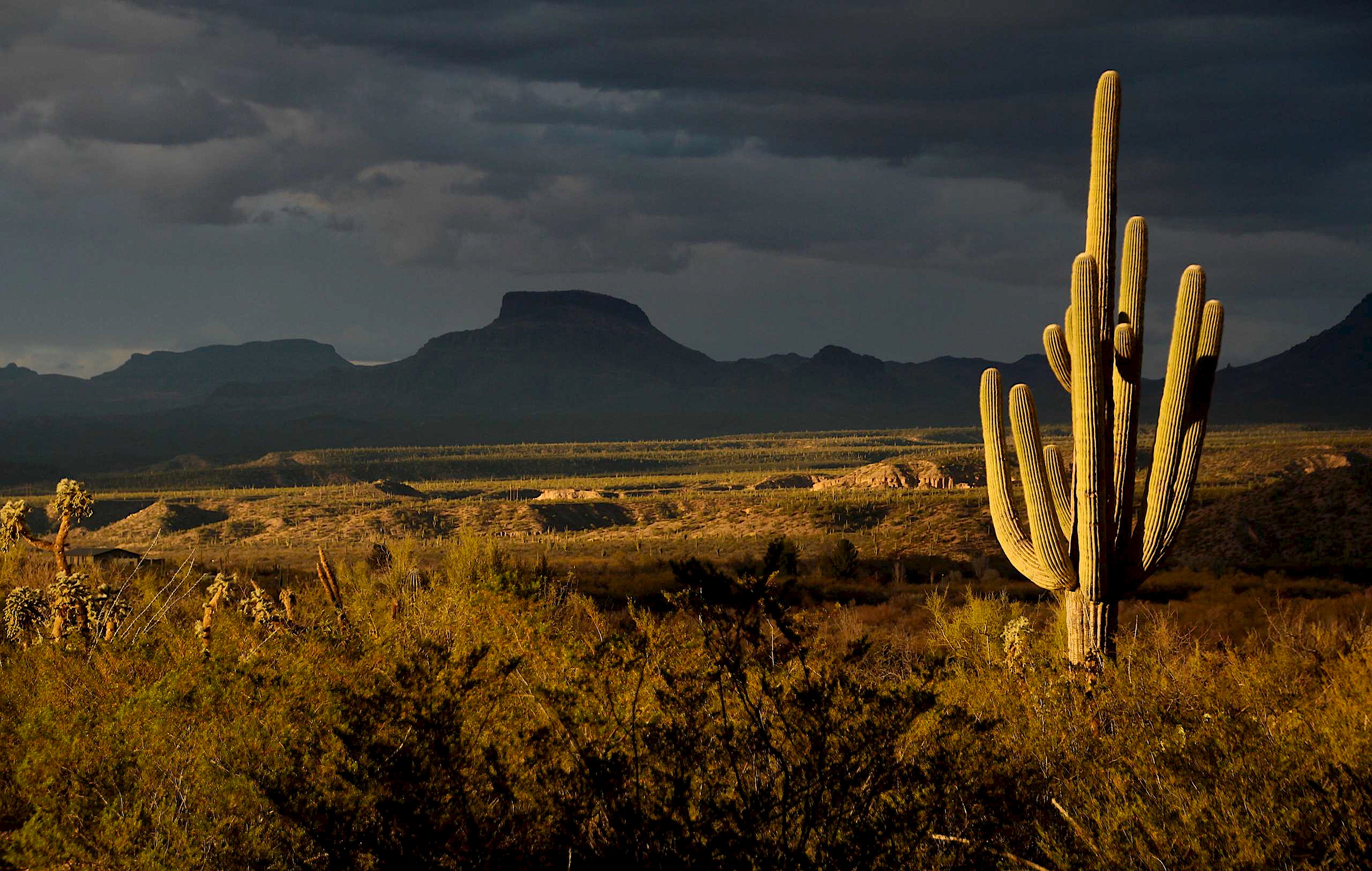
View of the Galiuro Mountains and Saguaro Cacti at sunset; San Pedro River Valley, SE of San Manuel, AZ
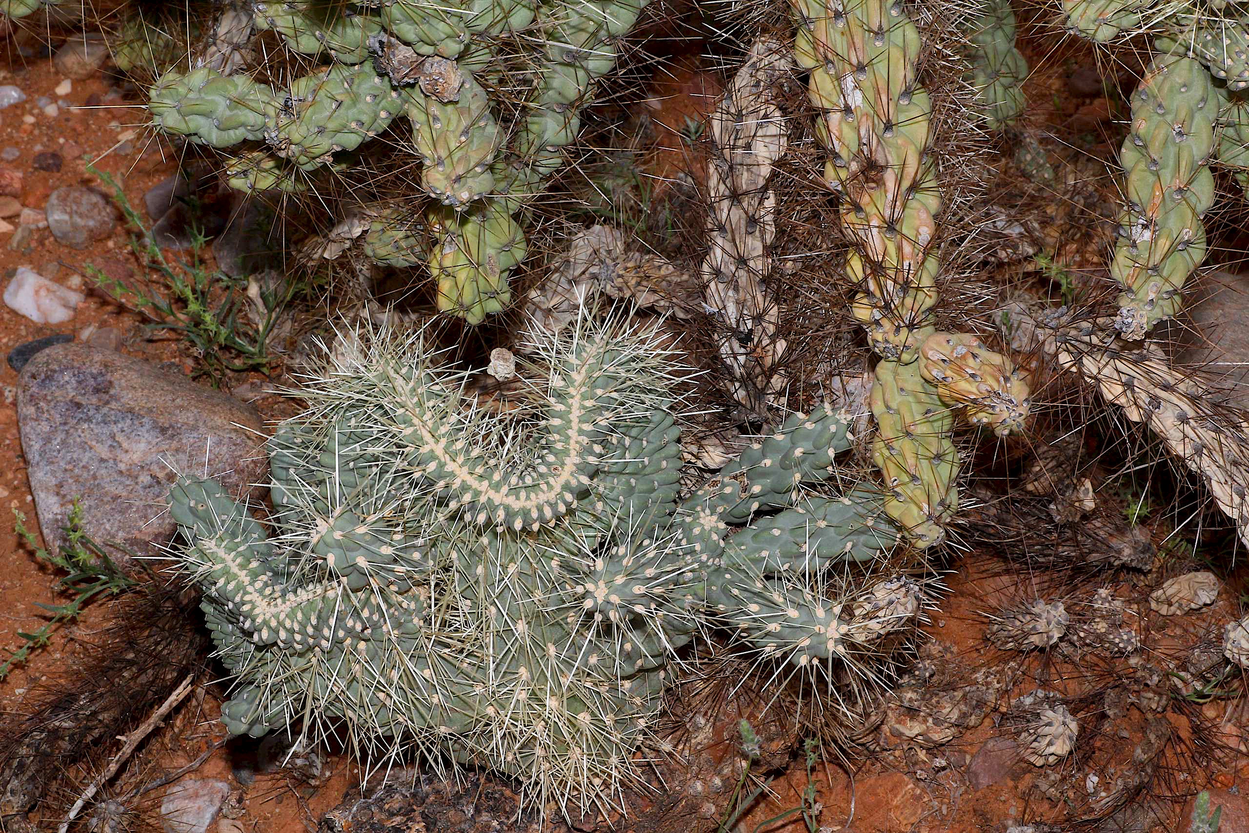
Crested Jumping Cholla Cactus (Cylindropuntia fulgida - Chain-fruit Cholla) - another view , San Pedro River Valley, AZ
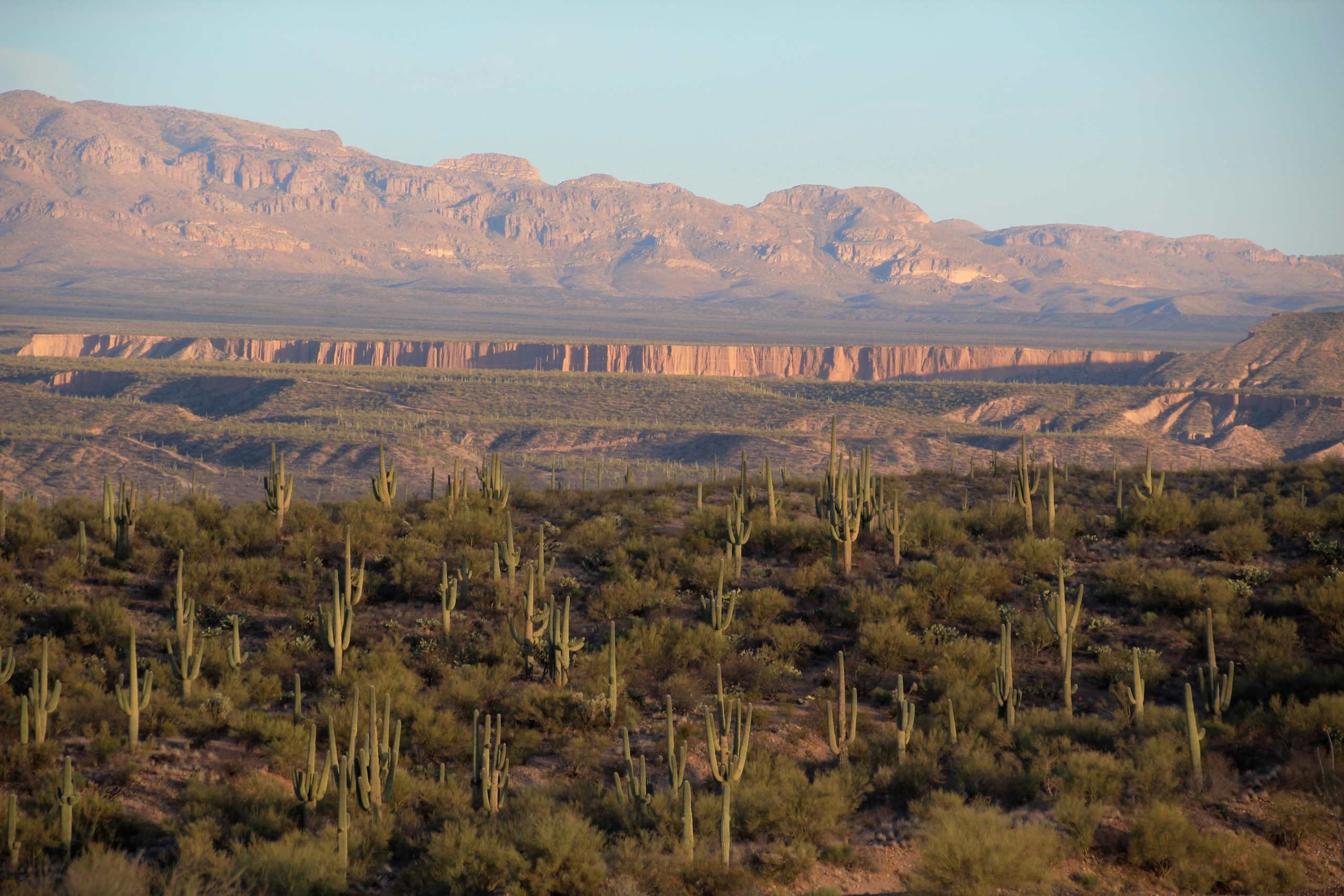
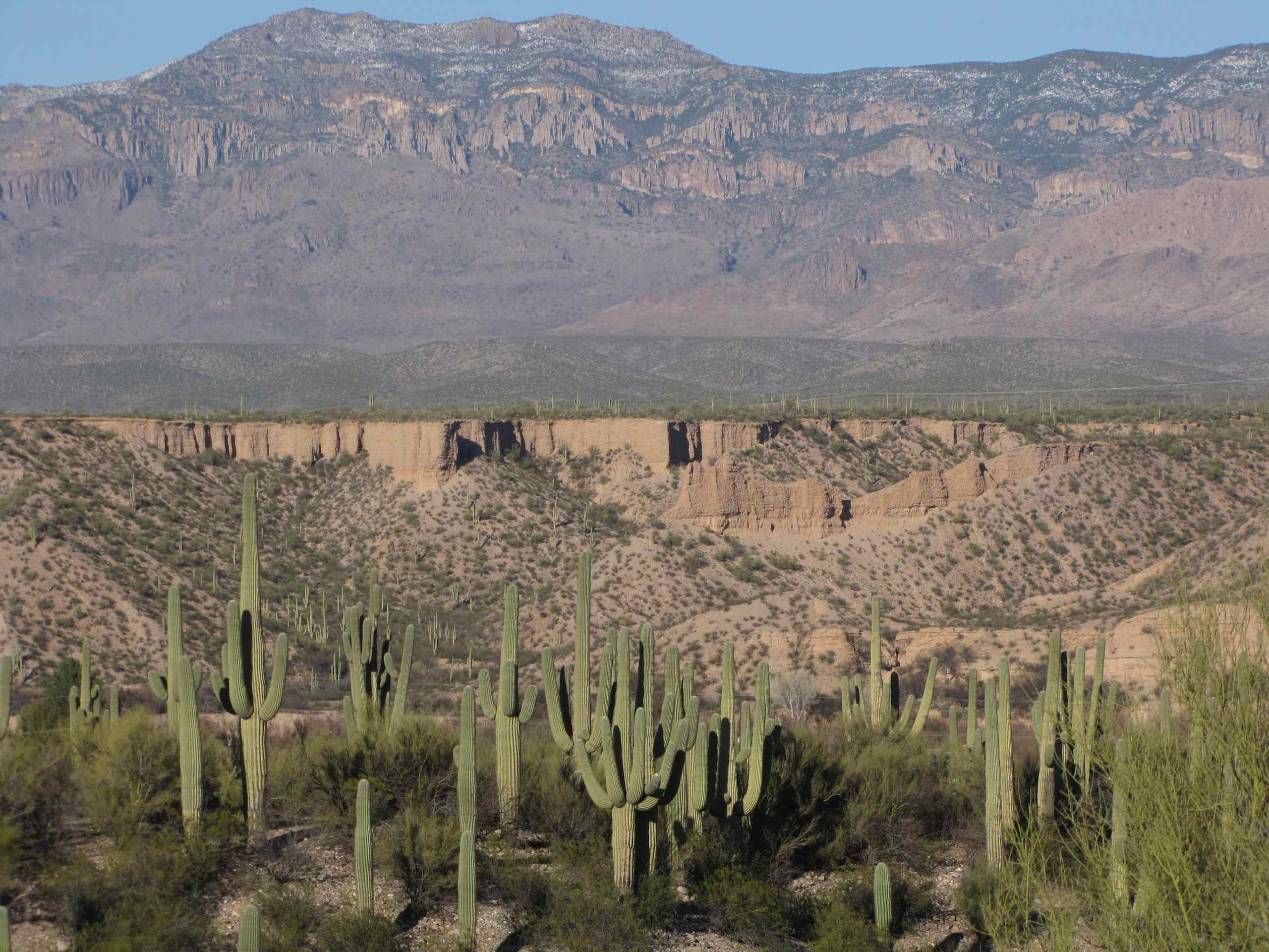
View of Galiuro Mountains and Lower Kielberg Canyon in the background; near San Manuel, AZ
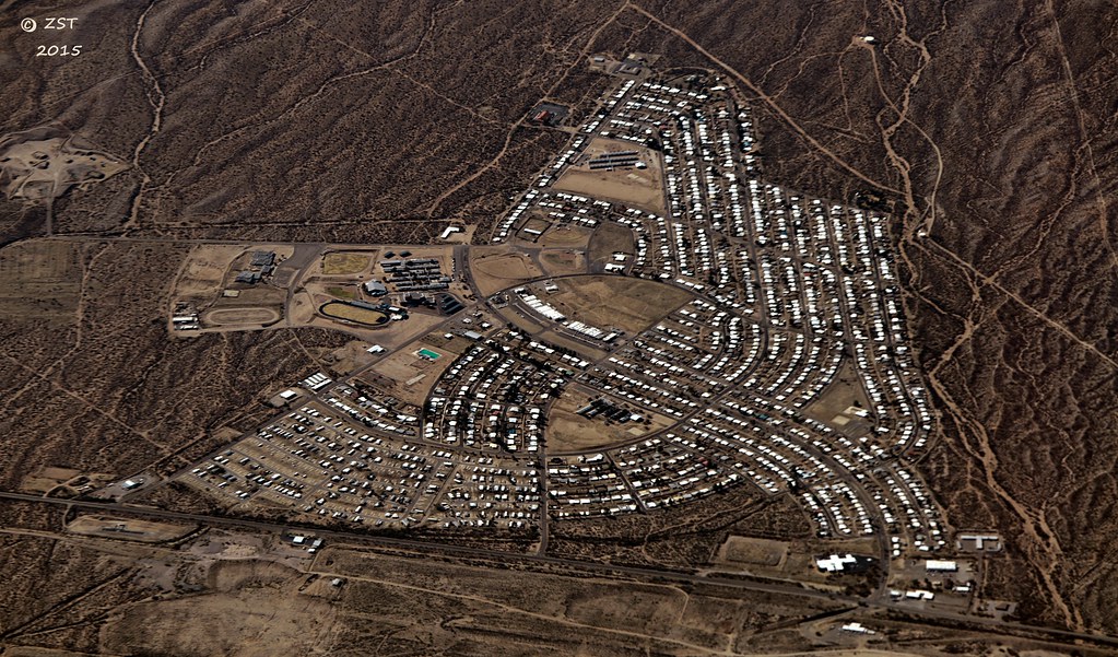
San Manuel, AZ

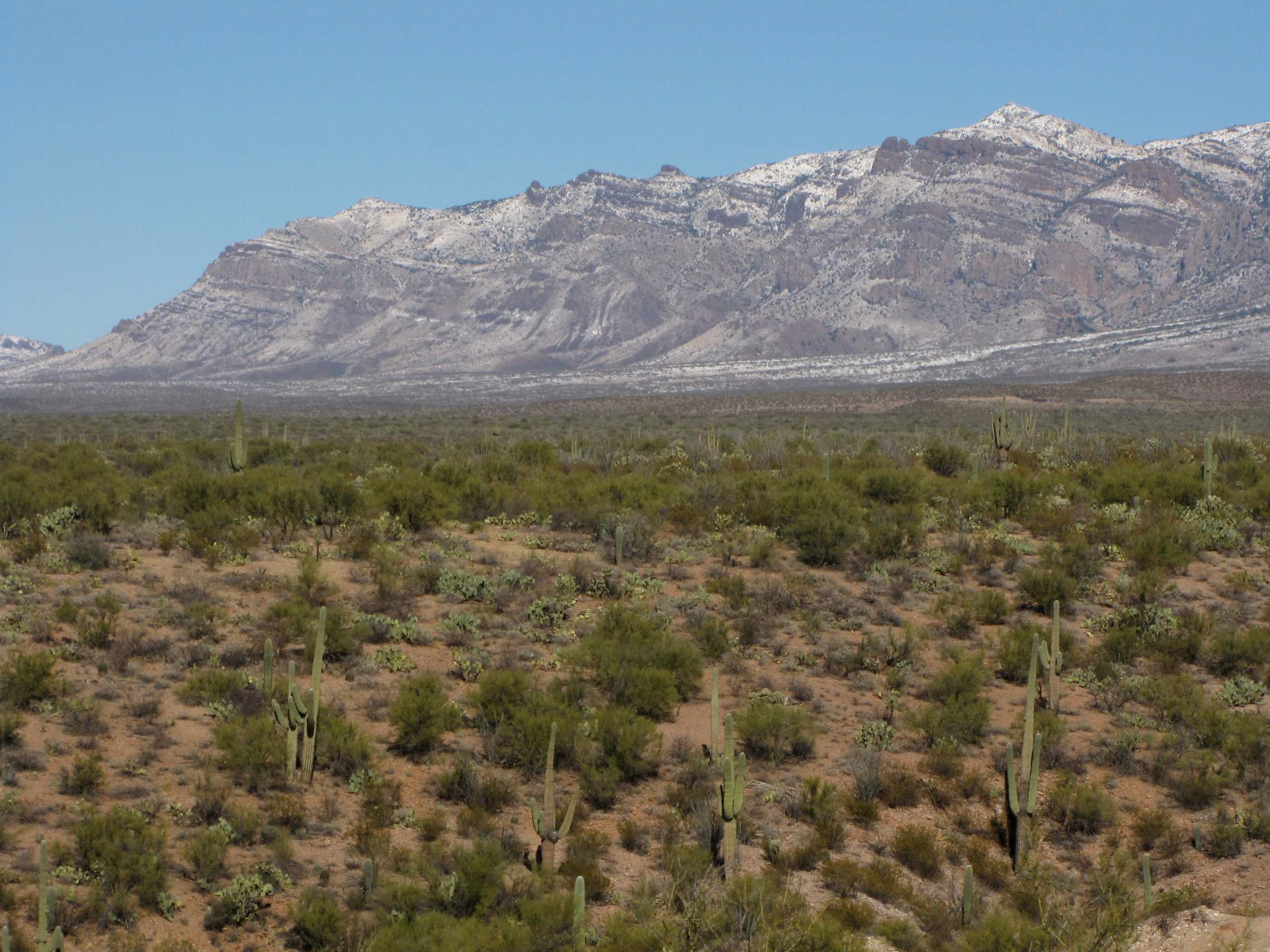
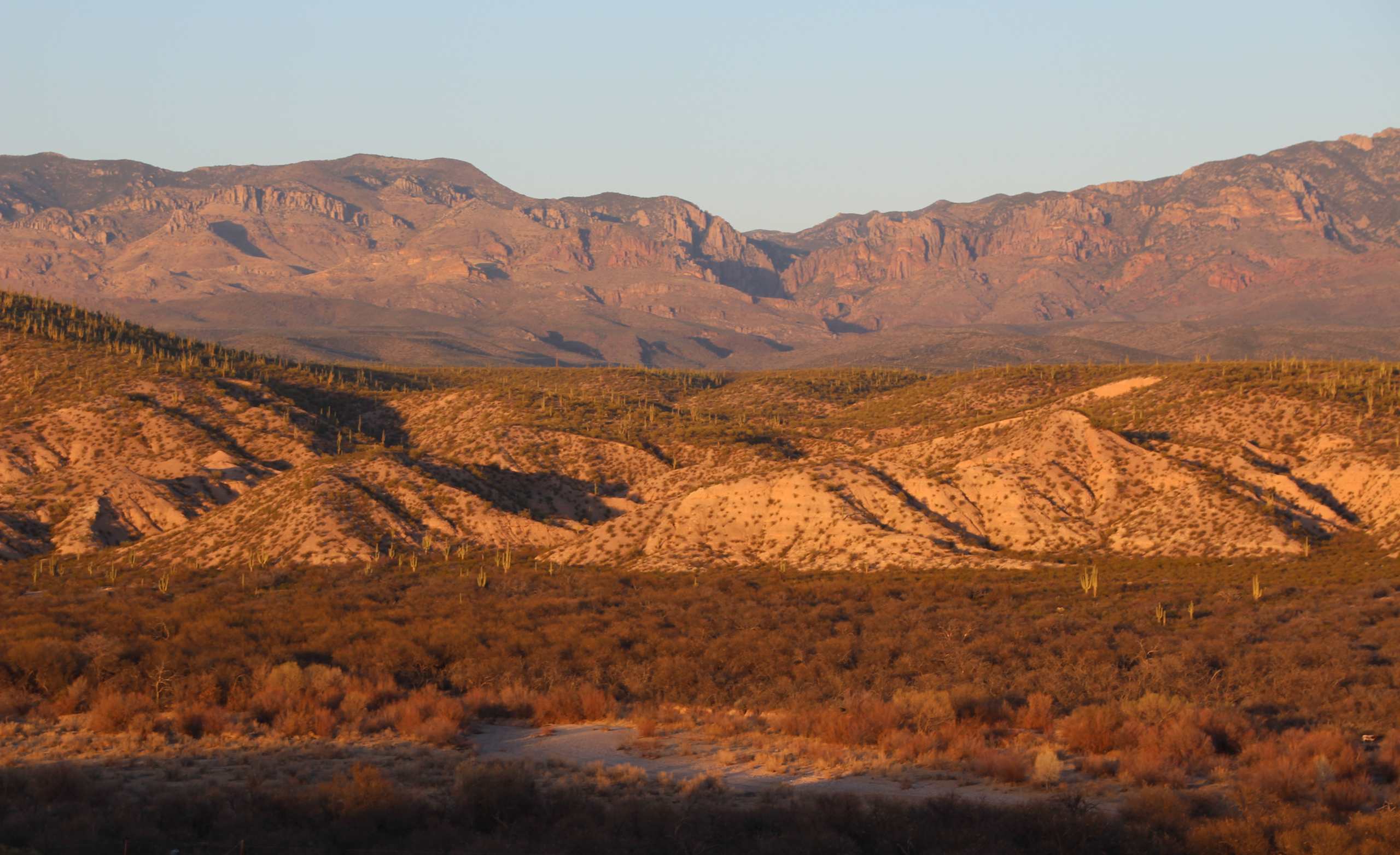
View of snow capped Galiuro Mountains; SE of San Manuel, AZ

View of turning Cottonwood leaves in San Pedro Valley from road up Cienega Wash, Galiuro Mountains, E of San Manuel, AZ
View of San Pedro River Valley and Galiuro Mountains near sunset; SE of San Manuel, AZ

View of San Pedro valley with mesquite trees turning color; from Sacaton Ranch Road, SE of San Manuel, AZ
View of Sagauro Cacti and San Pedro Valley at dawn; SE of San Manuel, AZ
View of Galiuro Mountains and San Pedro River valley
View of Kielberg Canyon and Galiuro Mountains from ridge N of Alder Wash, SE of San Manuel, AZ
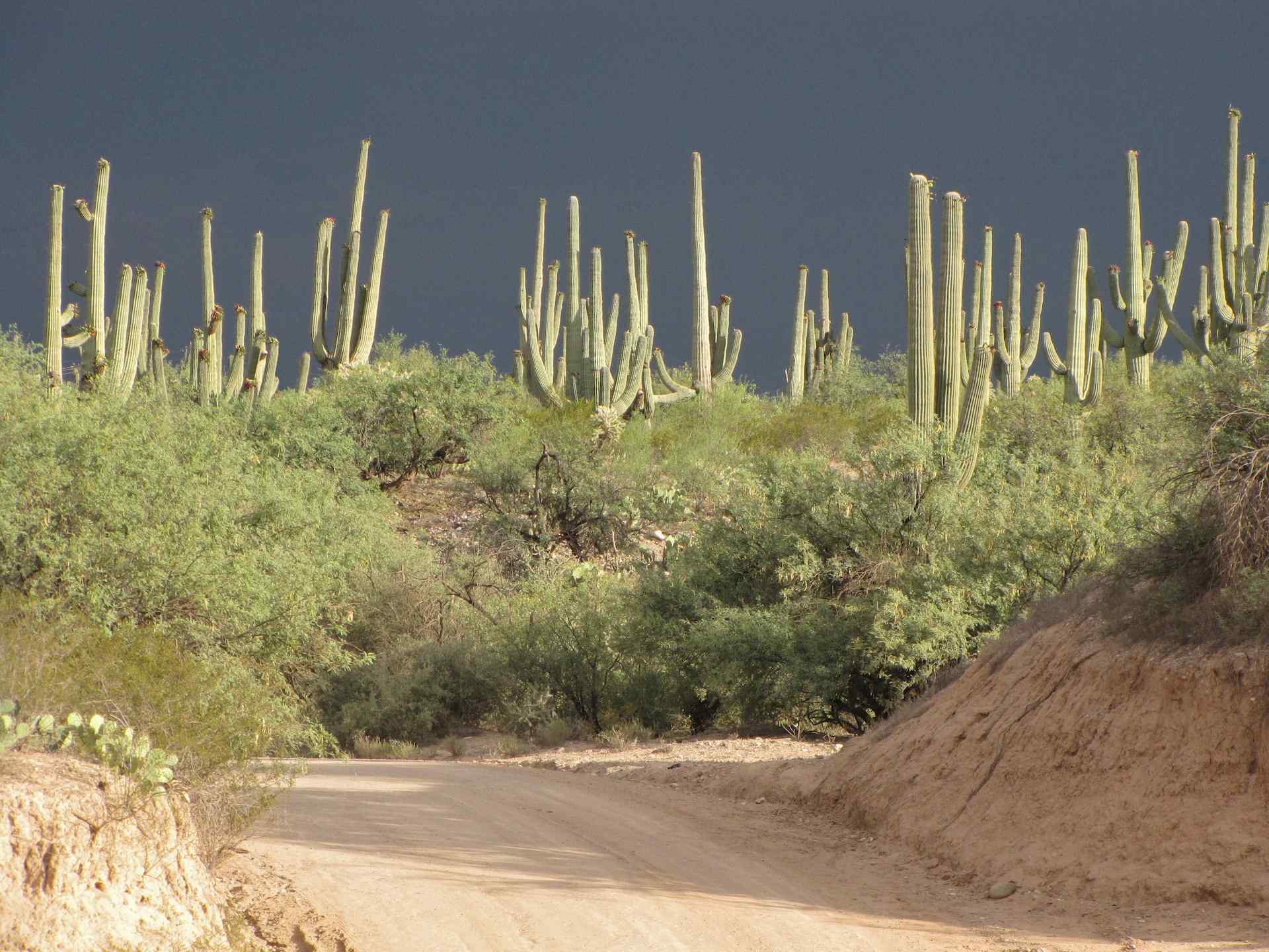
Saguaro Cacti in sunshine before a storm - SE Arizona
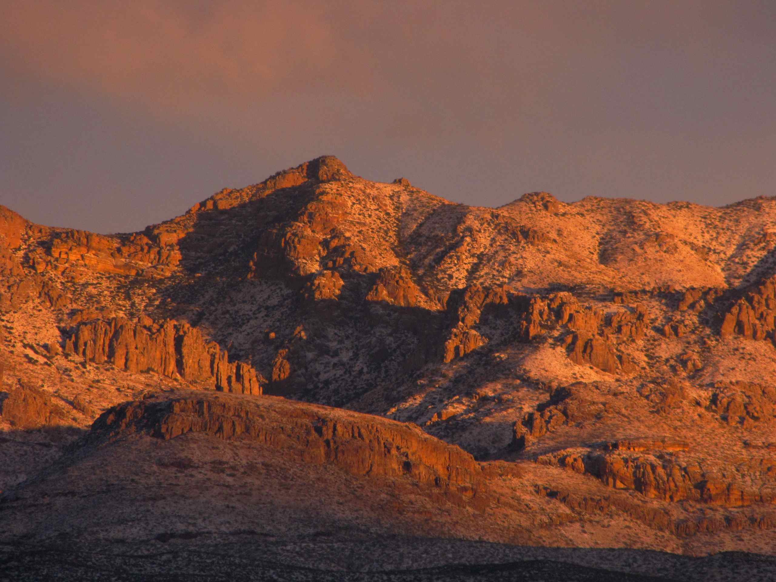
View of snow capped Galiuro Mountains and Kielberg Canyon; SE of San Manuel, AZ

Catching air

Sunset over Saguaro Cacti - San Pedro River Valley

Flowering Ocotillo (Fouquieria splendens); San Pedro River Valley, AZ
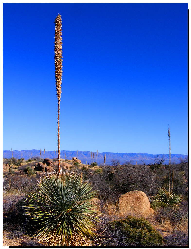
Soaptree Yucca (Yucca elata - Palmilla); S of San Manuel, AZ
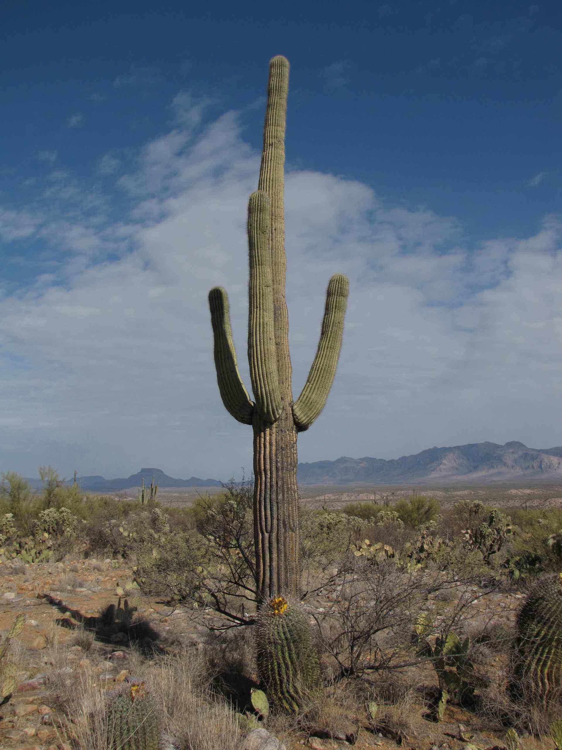
Saguaro Cactus; Alder Wash, SE of San Manuel, AZ

Setting sun on Saguaro Cacti and Galiuro Mountains behind; SE of San Manuel, AZ
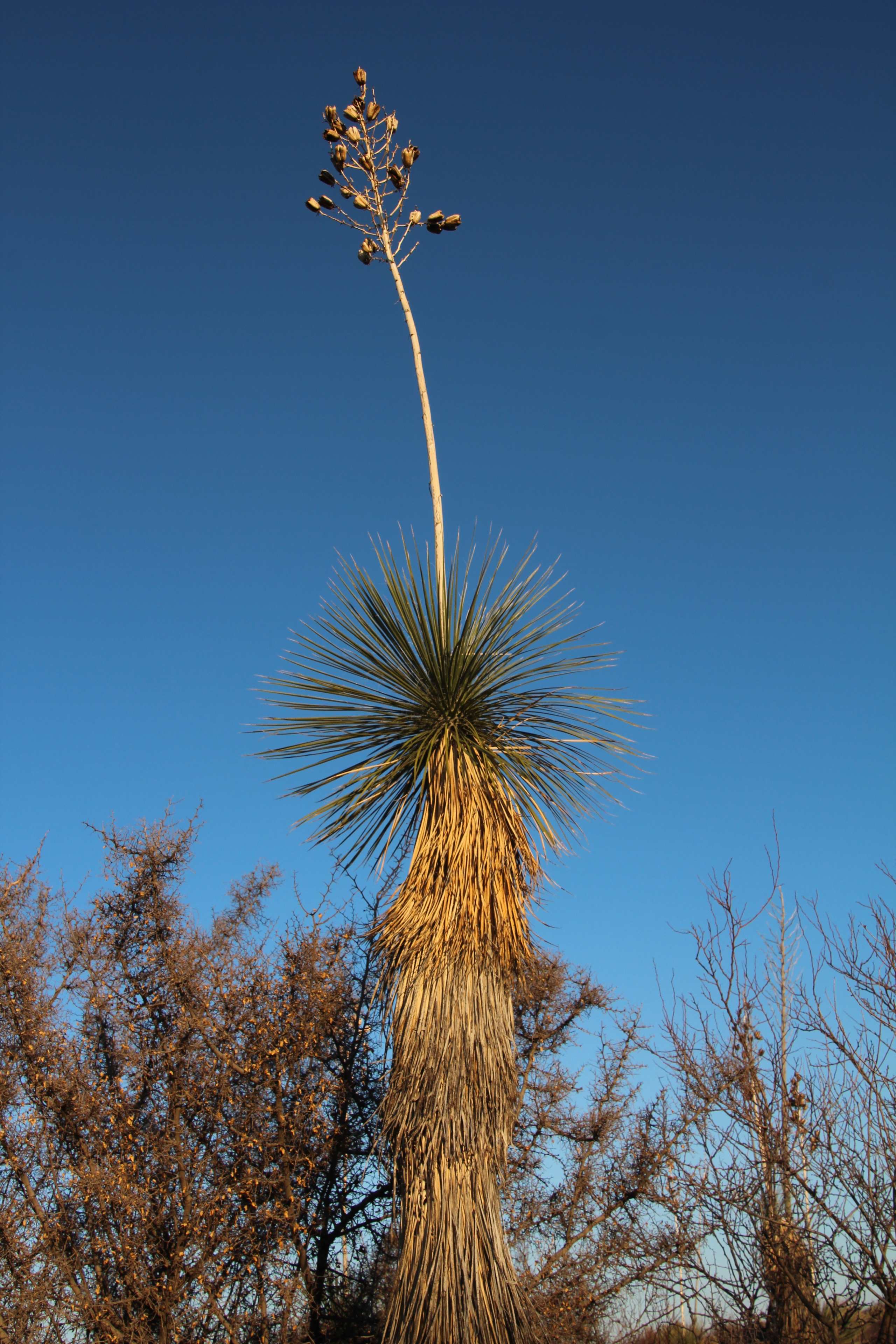
Soaptree Yucca (Yucca elata - Palmilla); wash N of San Manuel, AZ
San Pedro River Valley, SE of San Manuel, AZ
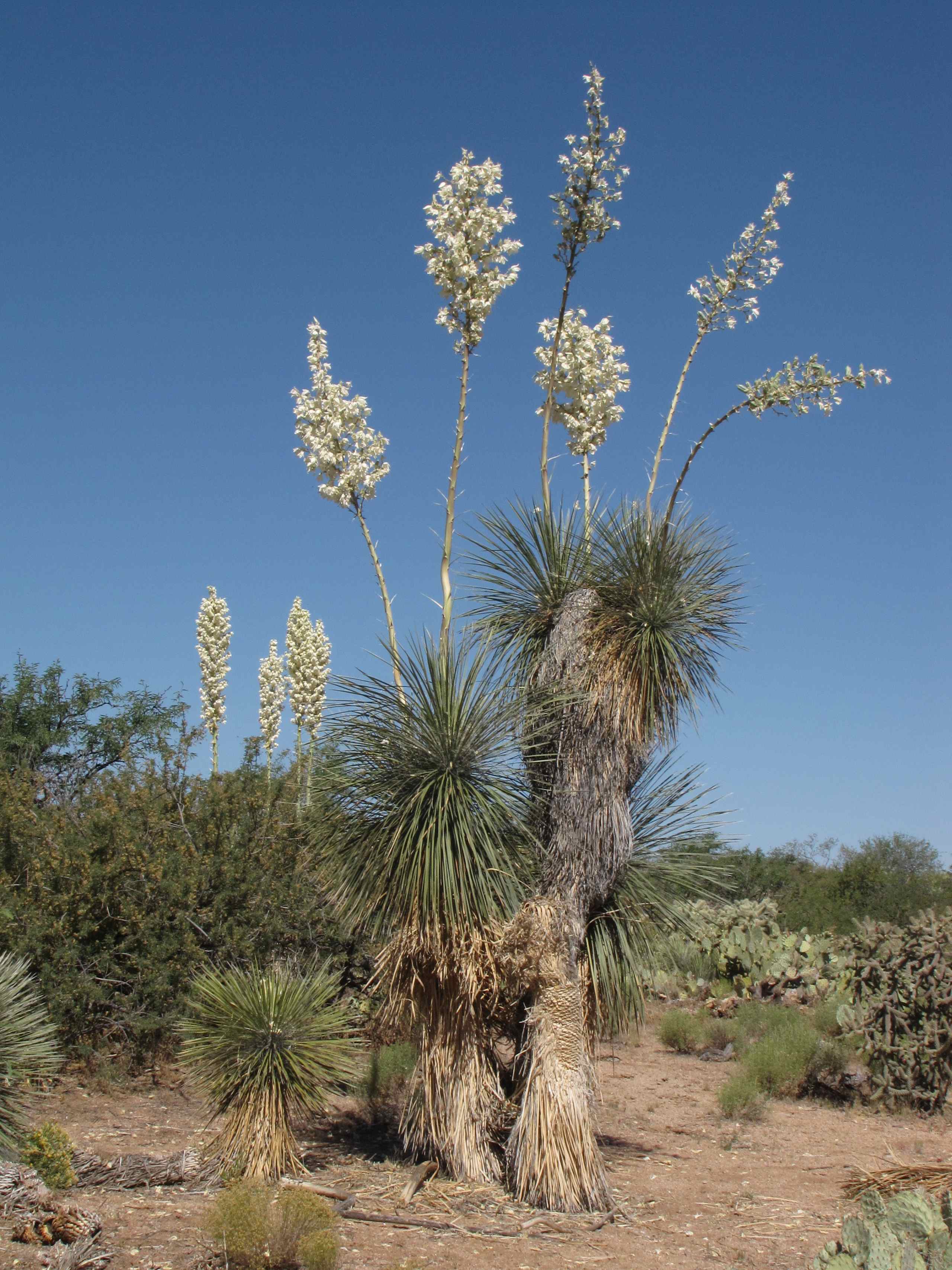
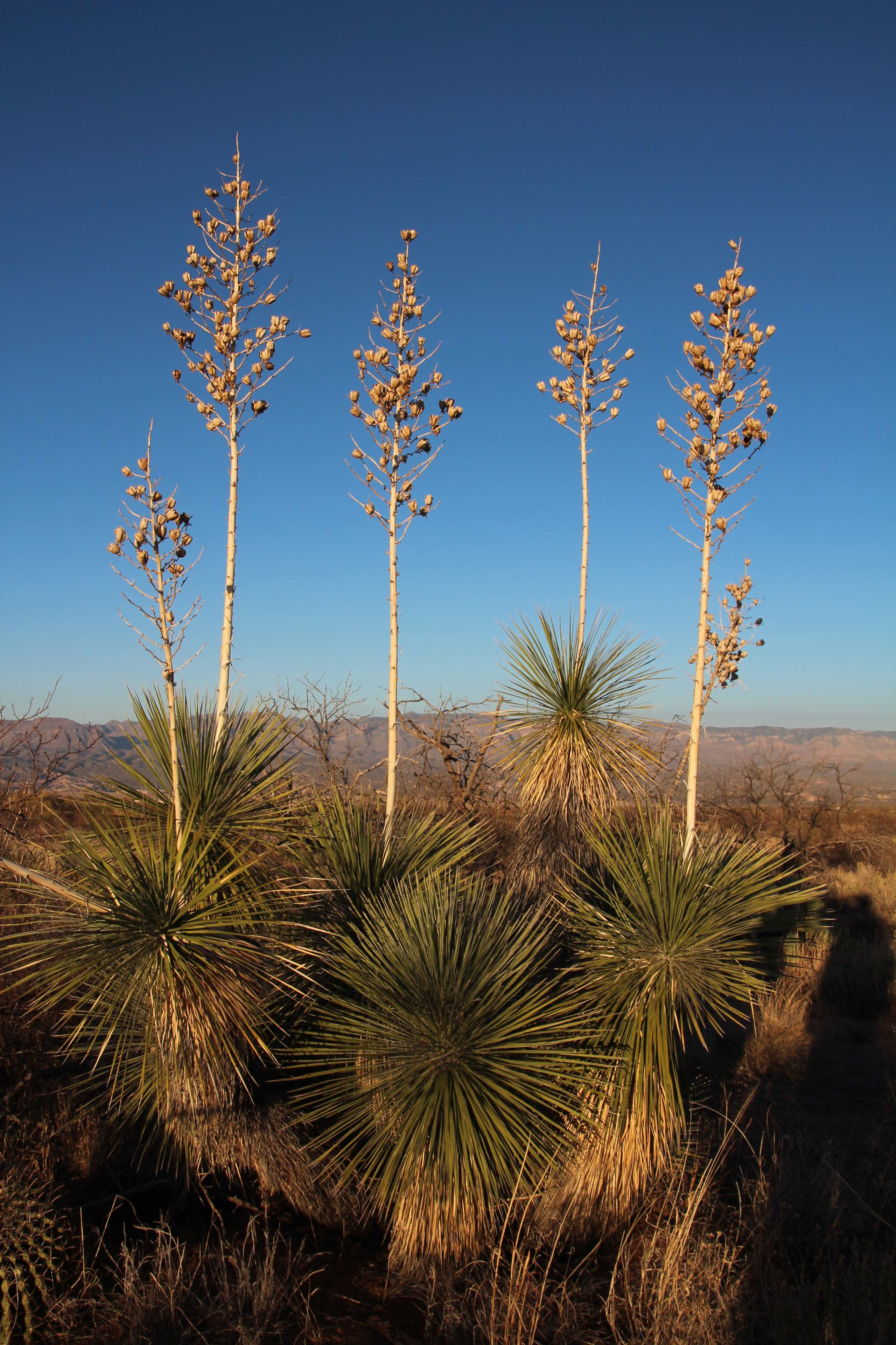
Flowering Soaptree Yucca (Yucca elata); desert W of San Manuel, AZ

Sunset over the Galiuro Mountains
Pointing at the Sky

Oracle Ridge Trail
Topographic Map of W 3rd Ave, San Manuel, AZ, USA
Find elevation by address:

Places near W 3rd Ave, San Manuel, AZ, USA:
905 W 3rd Ave
603 W 4th Ave
San Manuel
406 S Ave B
North Redington Road
North Redington Road
North Redington Road
North Redington Road
North Redington Road
East Vanessa Way
33800 S Cody Hills Rd
33989 S Apache Girl Trail
86160 E Bentwood St
35406 S Mt Lemmon Rd
Oracle State Park
33550 S Highjinks Rd
Main St, Mammoth, AZ, USA
Mammoth
500 N Cody Loop Rd
333 N John Adams St
Recent Searches:
- Elevation map of Litang County, Sichuan, China
- Elevation map of Madoi County, Qinghai, China
- Elevation of 3314, Ohio State Route 114, Payne, Paulding County, Ohio, 45880, USA
- Elevation of Sarahills Drive, Saratoga, Santa Clara County, California, 95070, USA
- Elevation of Town of Bombay, Franklin County, New York, USA
- Elevation of 9, Convent Lane, Center Moriches, Suffolk County, New York, 11934, USA
- Elevation of Saint Angelas Convent, 9, Convent Lane, Center Moriches, Suffolk County, New York, 11934, USA
- Elevation of 131st Street Southwest, Mukilteo, Snohomish County, Washington, 98275, USA
- Elevation of 304, Harrison Road, Naples, Cumberland County, Maine, 04055, USA
- Elevation of 2362, Timber Ridge Road, Harrisburg, Cabarrus County, North Carolina, 28075, USA
- Elevation of Ridge Road, Marshalltown, Marshall County, Iowa, 50158, USA
- Elevation of 2459, Misty Shadows Drive, Pigeon Forge, Sevier County, Tennessee, 37862, USA
- Elevation of 8043, Brightwater Way, Spring Hill, Williamson County, Tennessee, 37179, USA
- Elevation of Starkweather Road, San Luis, Costilla County, Colorado, 81152, USA
- Elevation of 5277, Woodside Drive, Baton Rouge, East Baton Rouge Parish, Louisiana, 70808, USA
- Elevation of 1139, Curtin Street, Shepherd Park Plaza, Houston, Harris County, Texas, 77018, USA
- Elevation of 136, Sellers Lane, Repton, Monroe County, Alabama, 36475, USA
- Elevation of 12914, Elmington Drive, Lakewood Forest, Houston, Harris County, Texas, 77429, USA
- Elevation of 417, Camelot Drive, Statesville, Iredell County, North Carolina, 28625, USA
- Elevation of 5792, Wildridge Road, Avon, Eagle County, Colorado, 81620, USA