Elevation of North Redington Road, N Redington Rd, Arizona, USA
Location: United States > Arizona > Pinal County > San Manuel >
Longitude: -110.6554235
Latitude: 32.6335525
Elevation: 1030m / 3379feet
Barometric Pressure: 0KPa
Related Photos:
Alder Wash walls, San Pedro River Valley, Arizona
View of the San Pedro River Valley and the Galiuro Mountains; San Pedro River Valley, AZ

View of turning Cottonwood leaves in San Pedro Valley from road up Cienega Wash, Galiuro Mountains, E of San Manuel, AZ
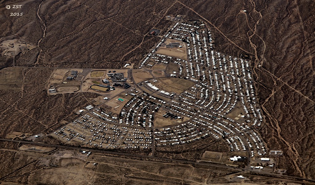
San Manuel, AZ
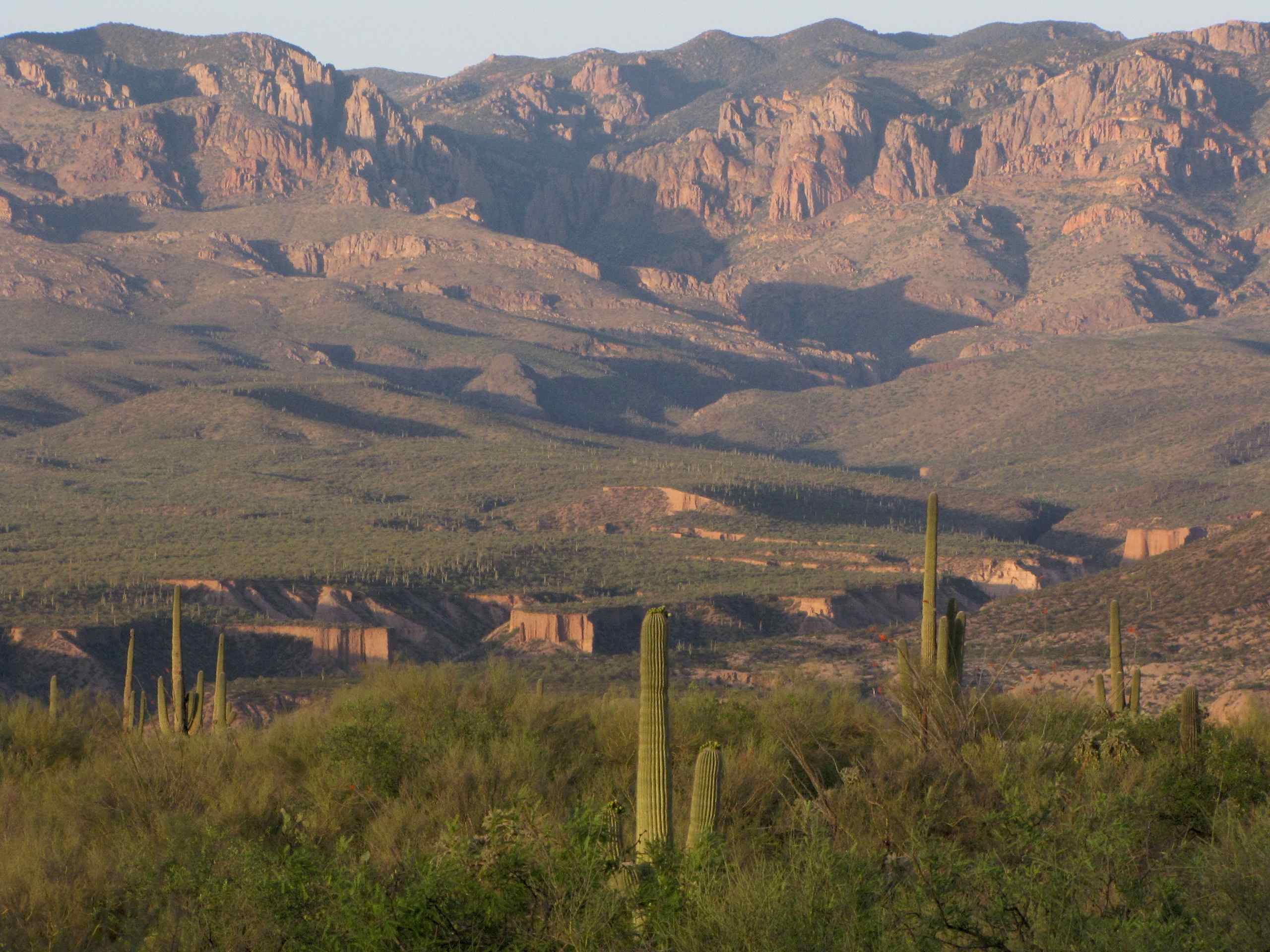
View of Galiuro Mountains and Lower Kielberg Canyon in the background; near San Manuel, AZ

Tiger Copper Mine, Mammoth, AZ

Catching air
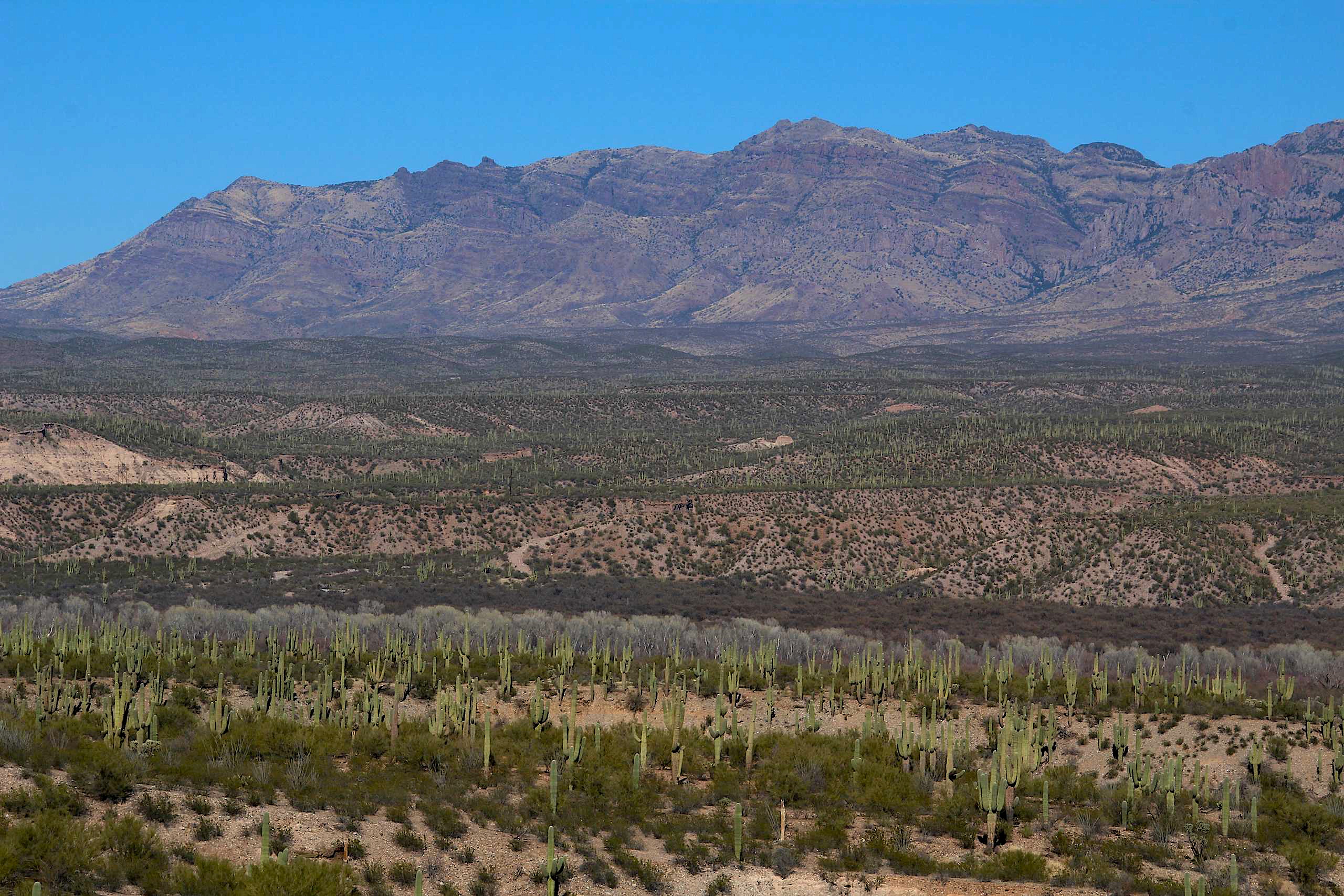
View of Galiuro Mountains and San Pedro River valley
View of Kielberg Canyon and Galiuro Mountains from ridge N of Alder Wash, SE of San Manuel, AZ

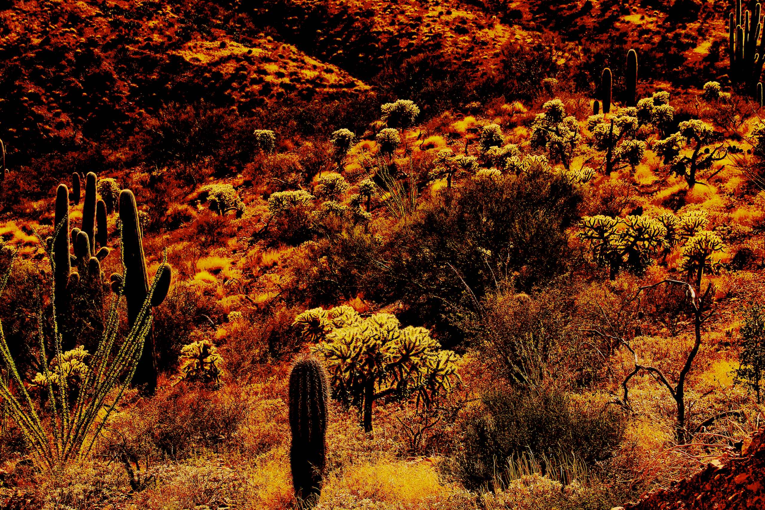
Flowering Ocotillos and Cholla and Saguaro cactus

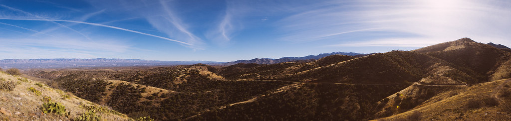
1203 View from Oracle State Park
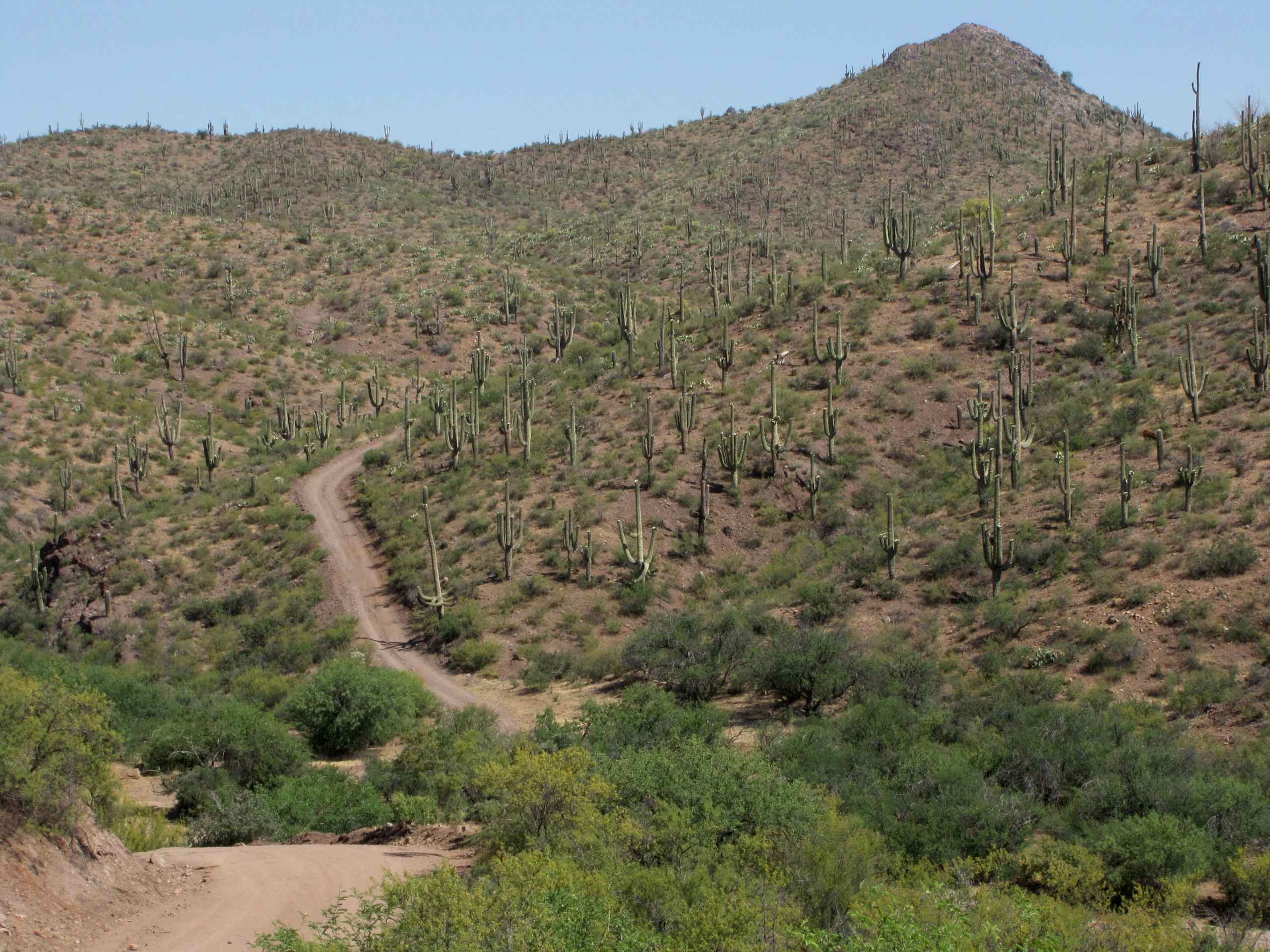
View of side jeep trail which goes to Pearl Mine from Tucson Wash road, W of Mammoth, AZ
Whitlock Wash, San Pedro River Valley, AZ
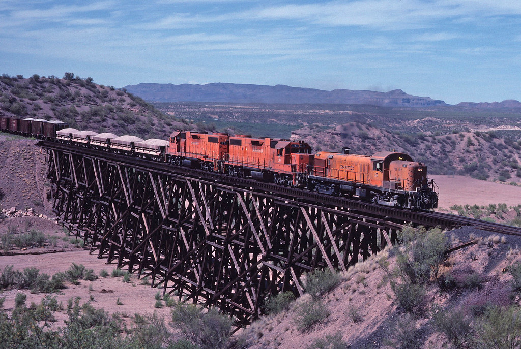
Arizona RS3 - 2
_MG_0560-Edit.jpg
Pointing at the Sky
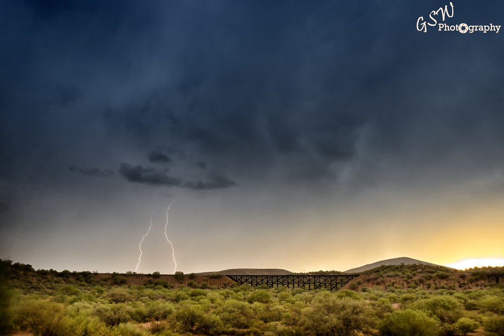
Daytime Lightning
San Pedro River crossing, San Pedro River Valley, SE of San Manuel, AZ
It's hot here - Copper Creek Road, Arizona
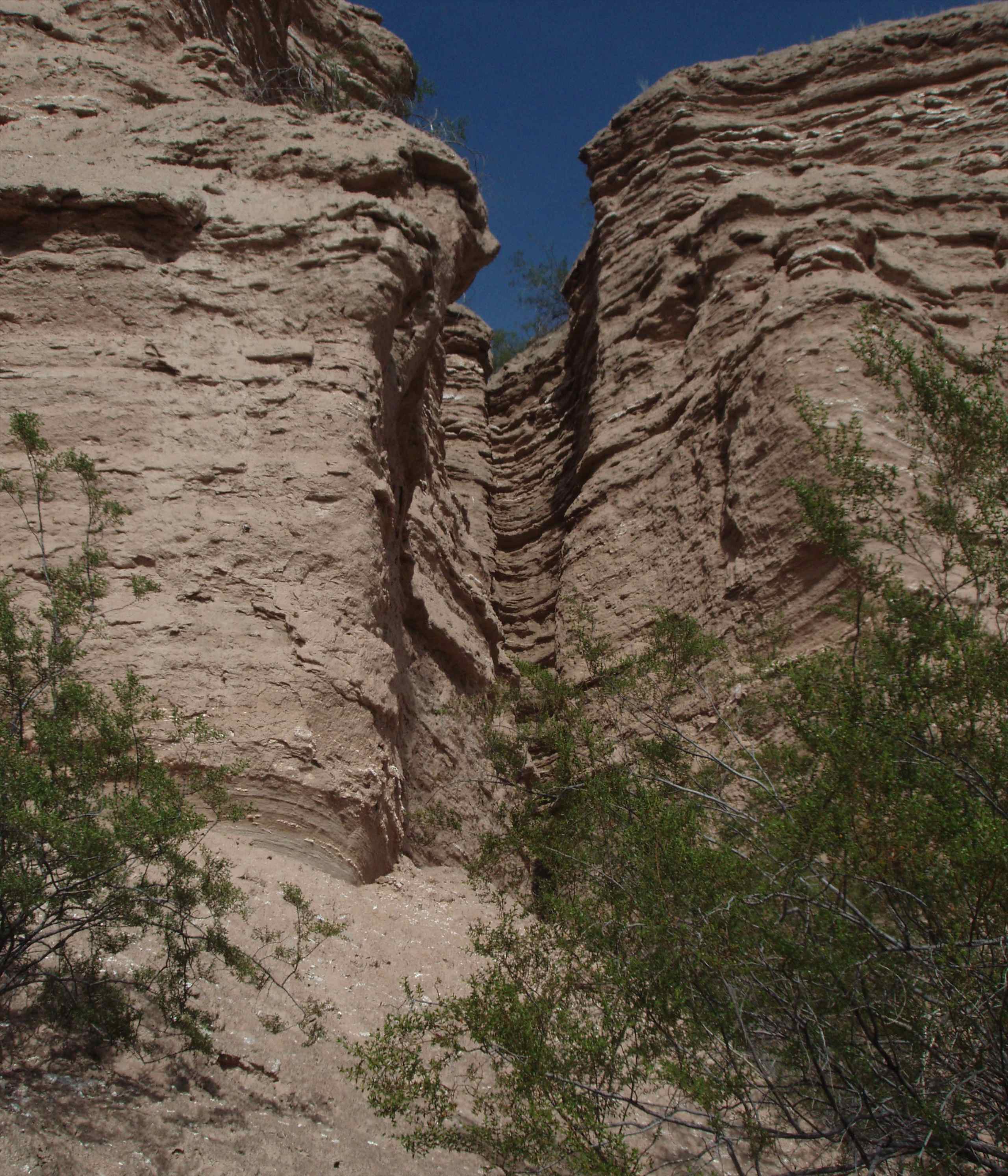
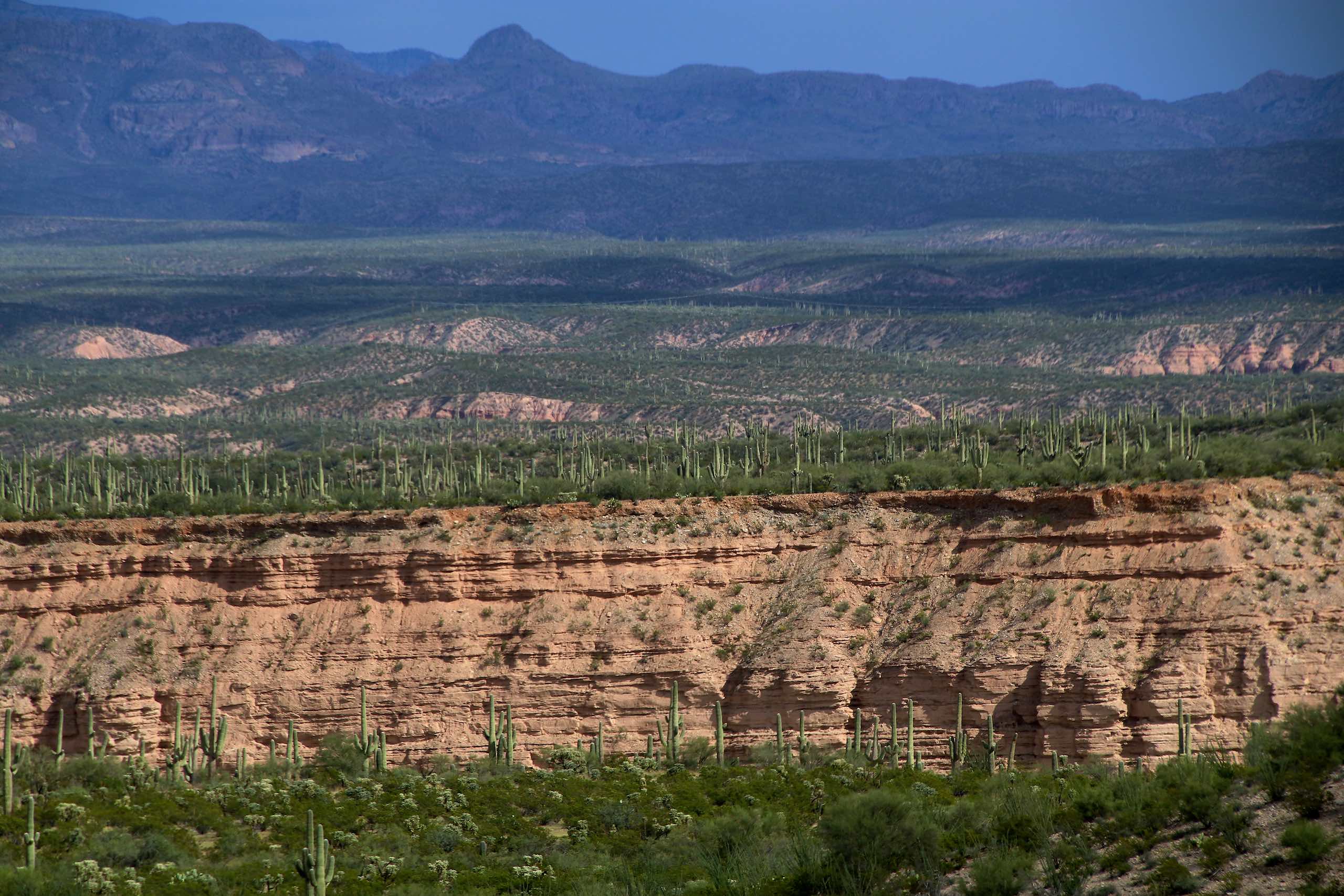
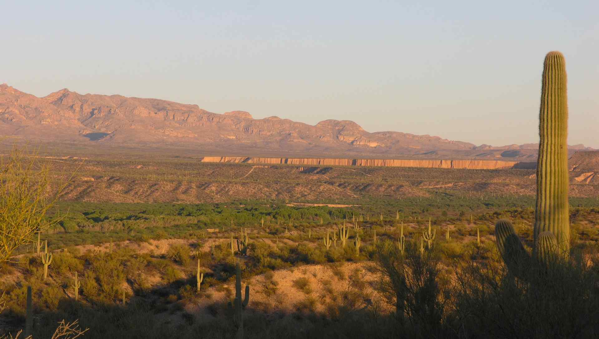
Caliche mud wall cliffs, River Road, Eof Mammoth, AZ
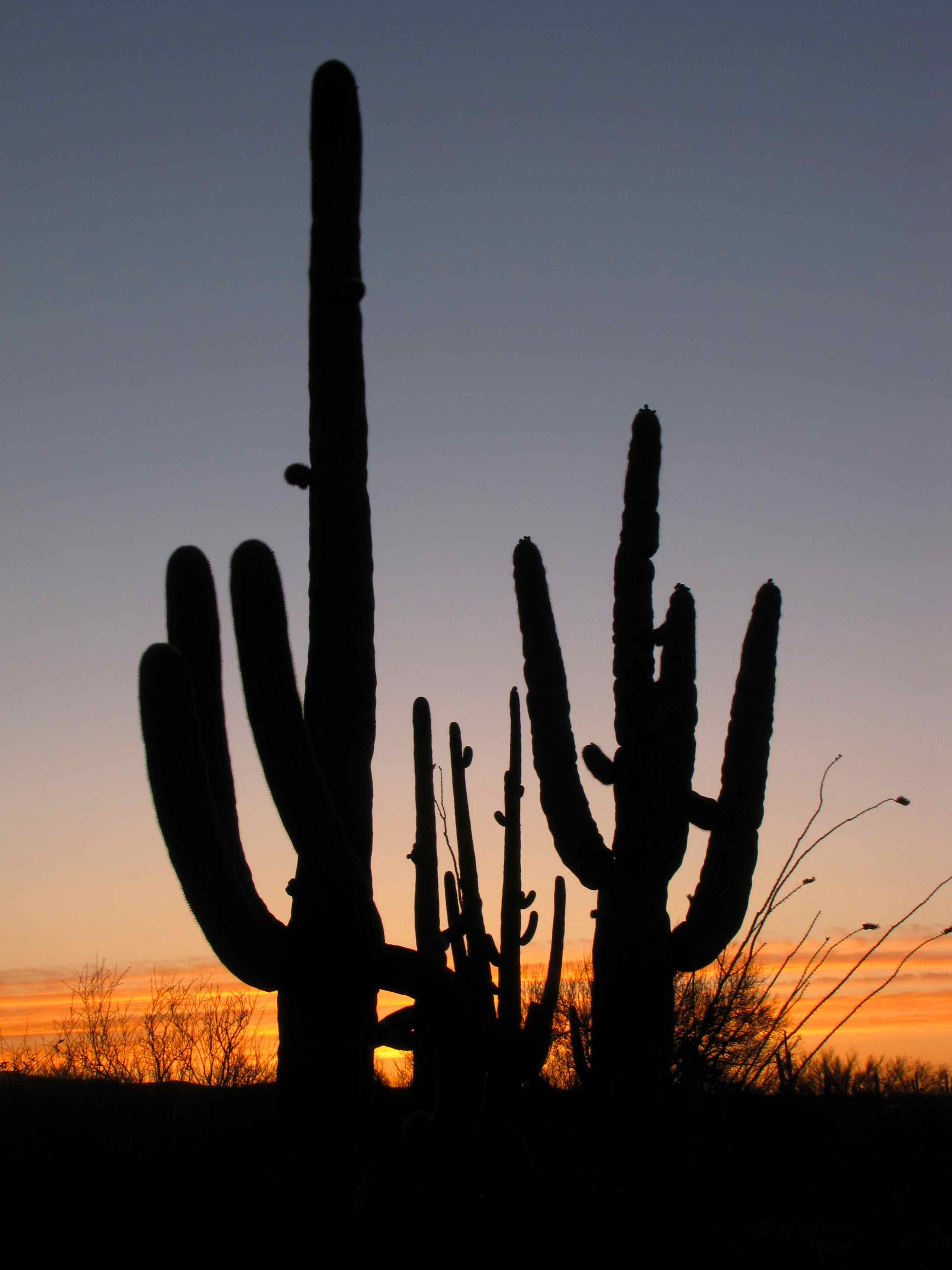
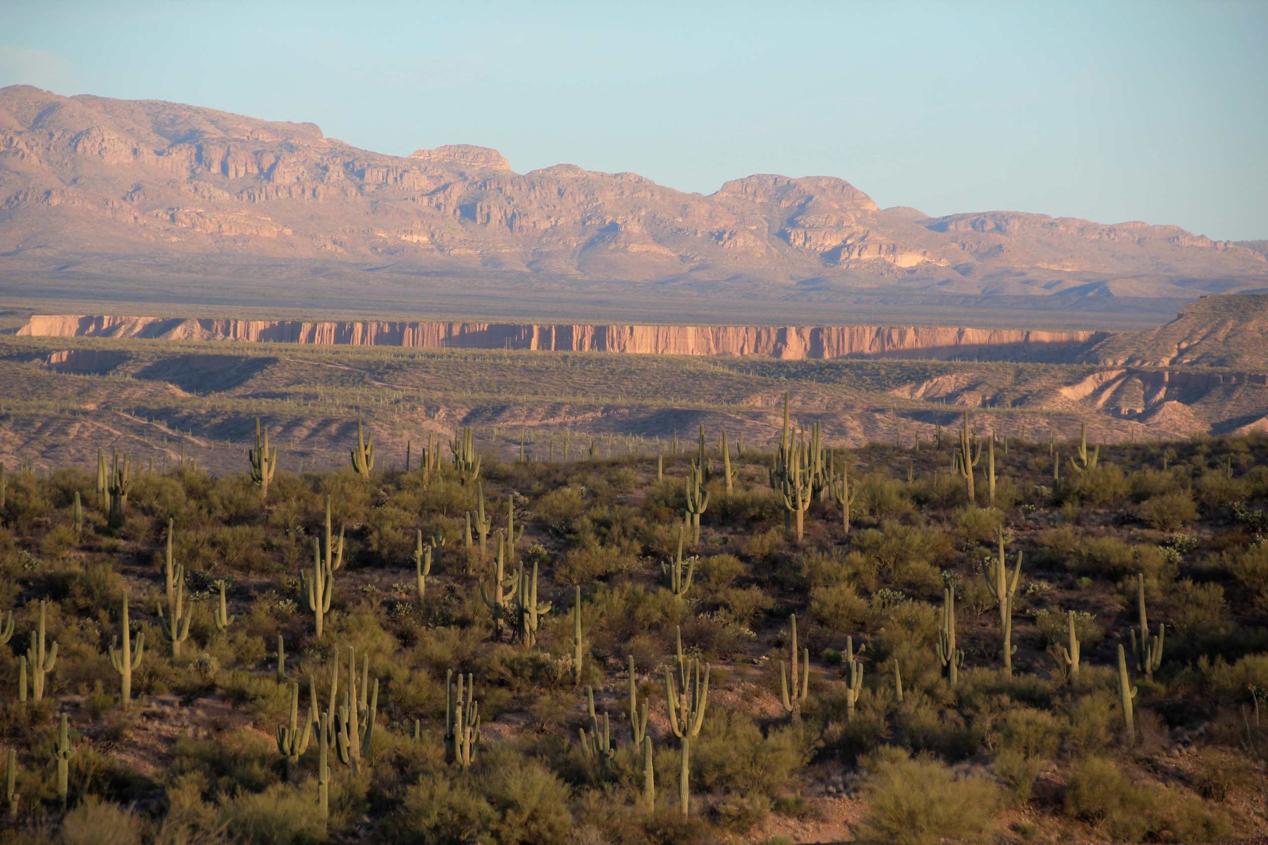
Saguaro Cacti at sunset; Black Hills Mine Road, S of San Manuel, AZ
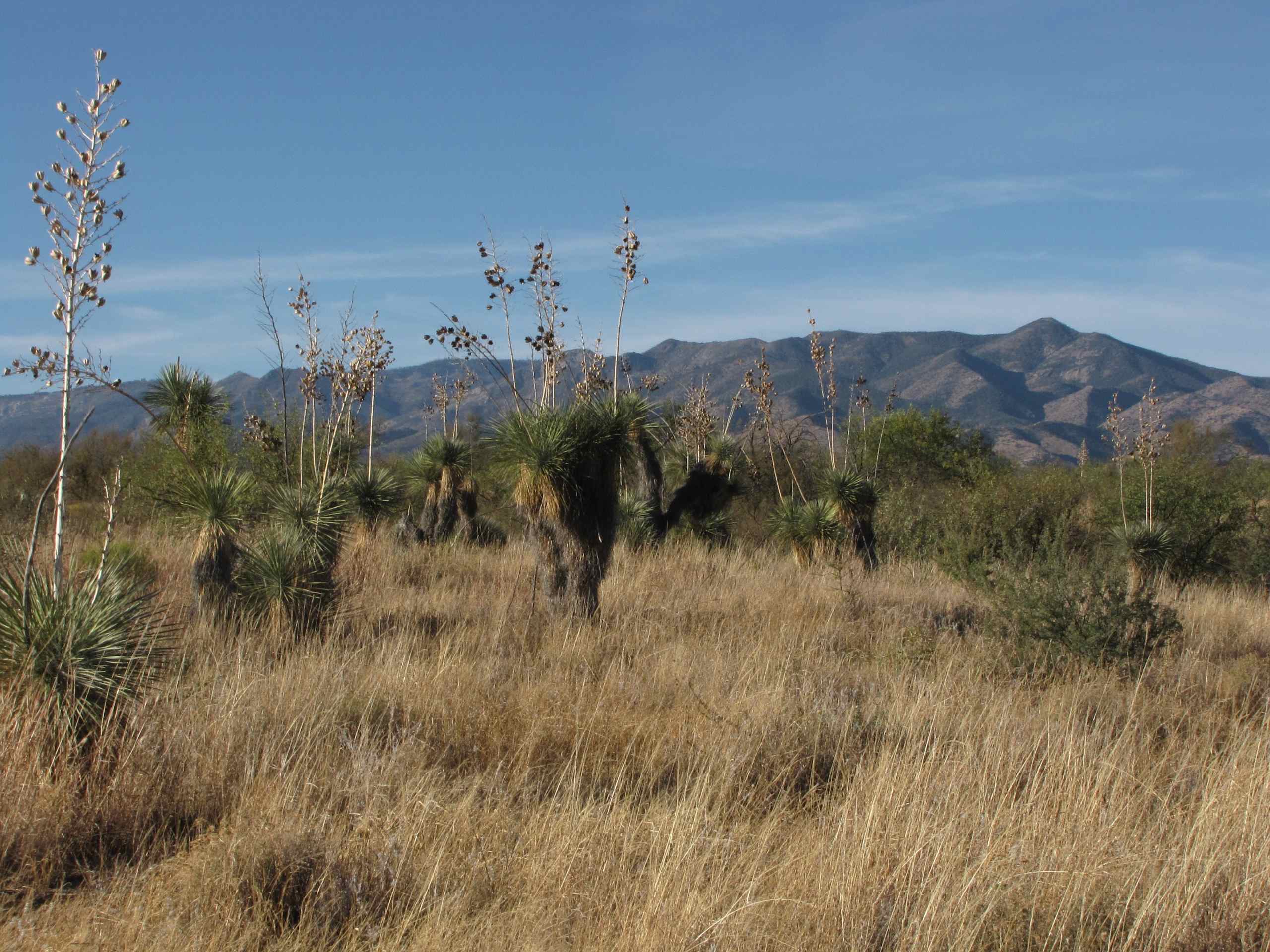
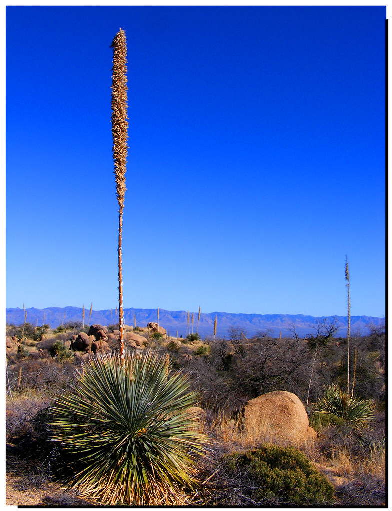
Soaptree Yucca (Yucca elata - Palmilla); desert SW of San Manuel, AZ
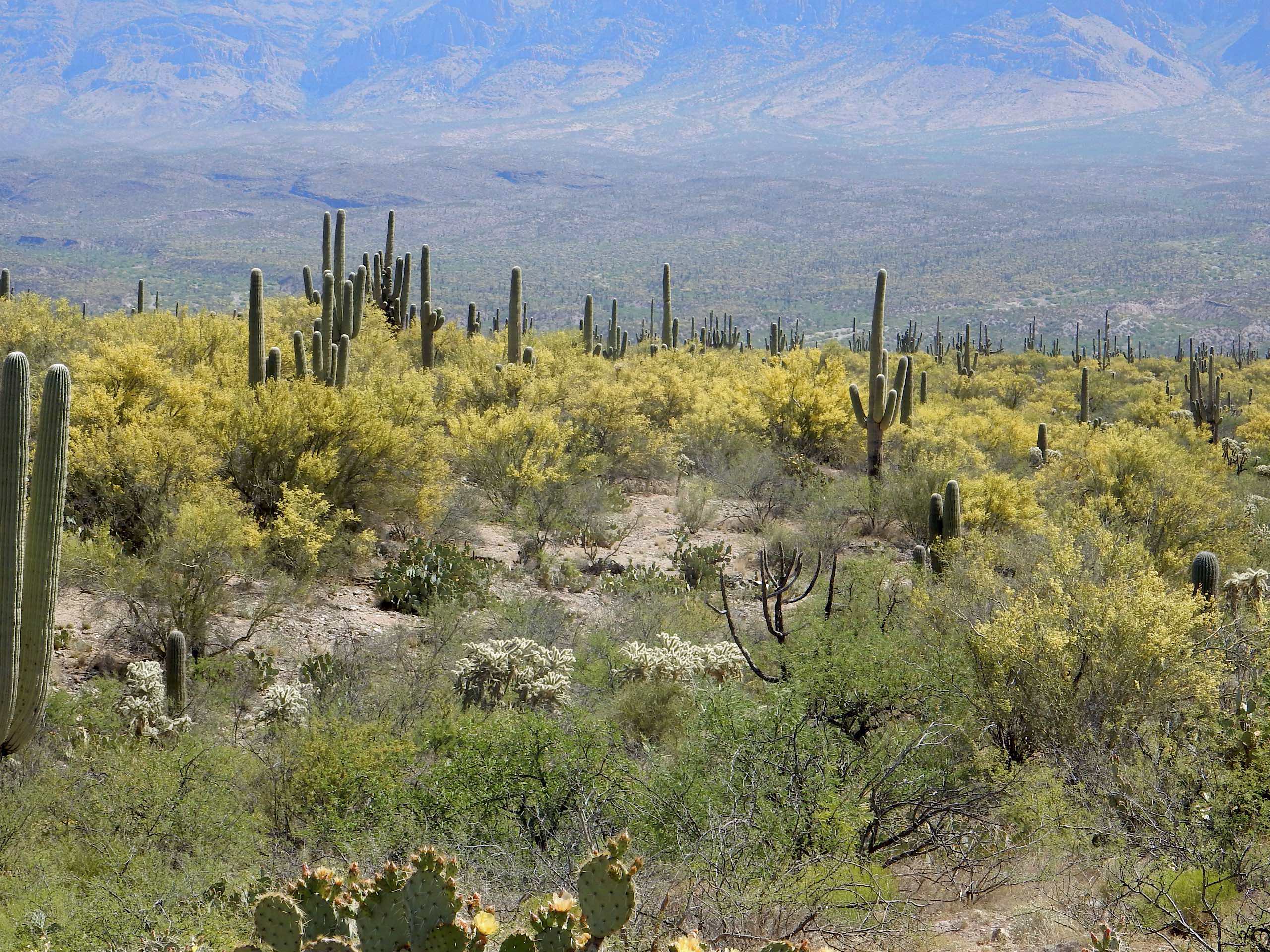
Flowering Palo Verde trees

Oracle Ridge Trail
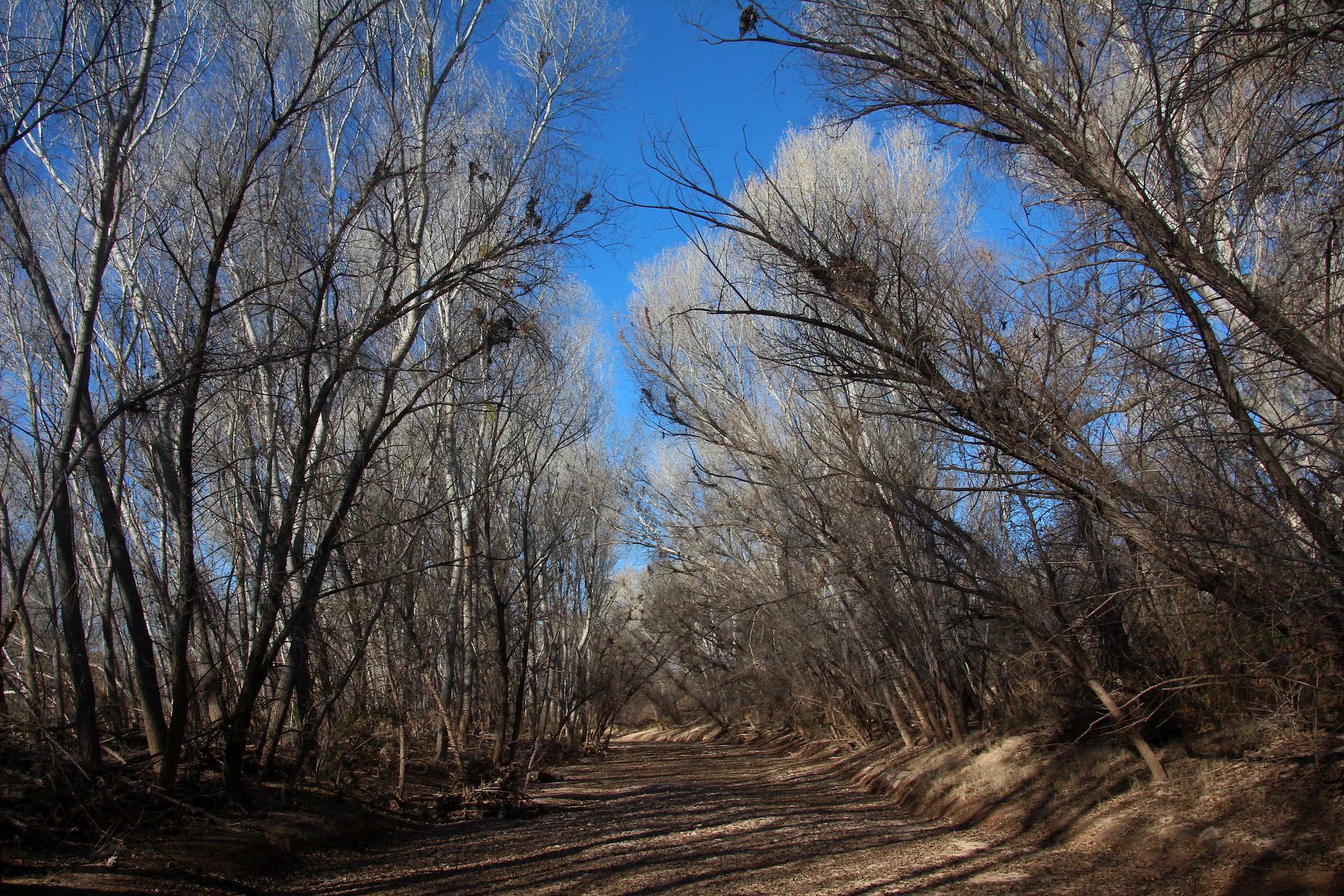
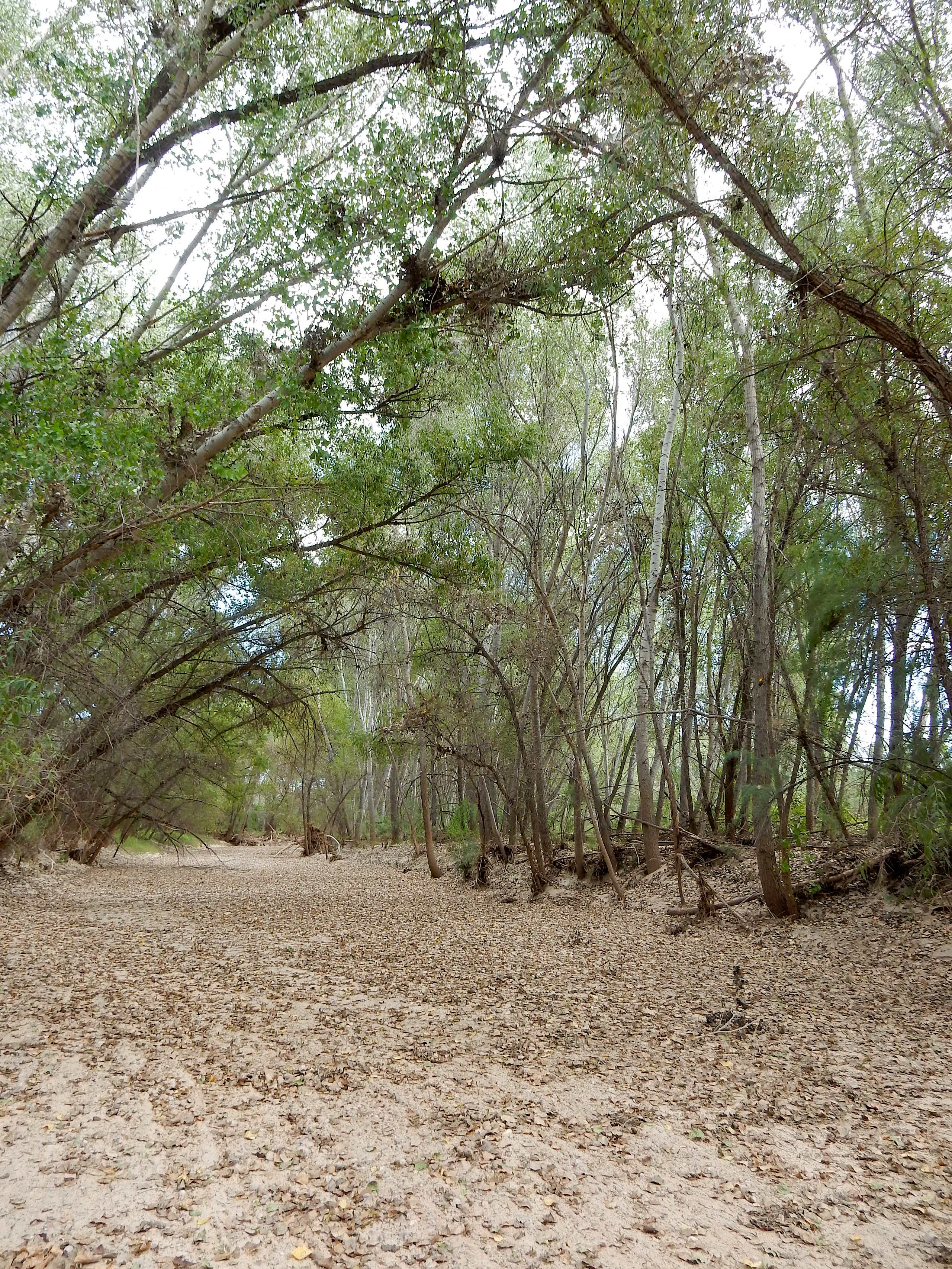
Cottonwood Forest of San Pedro Riverbed, SE AZ
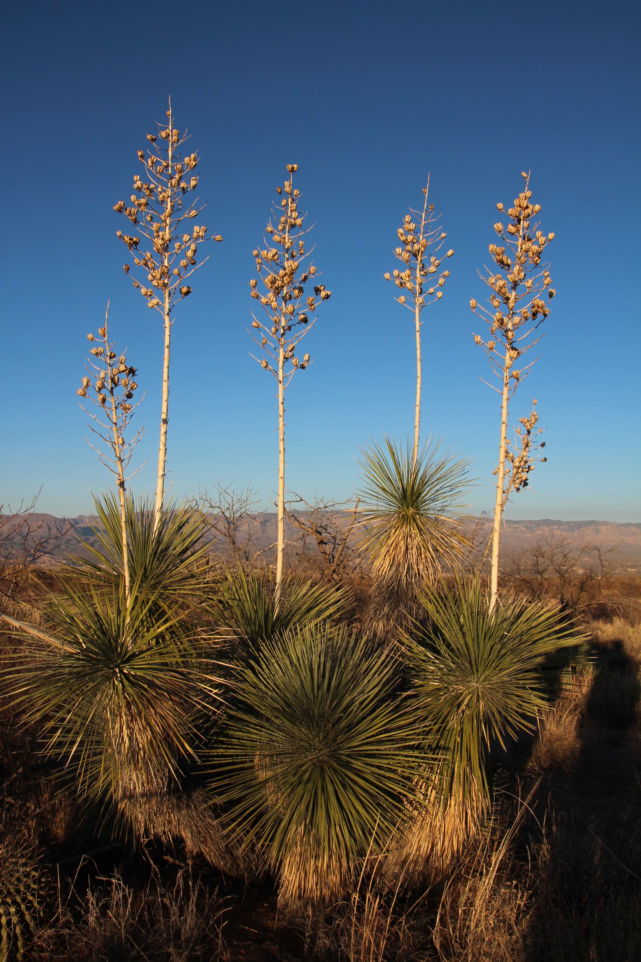
Soaptree Yucca (Yucca elata - Palmilla); S of San Manuel, AZ
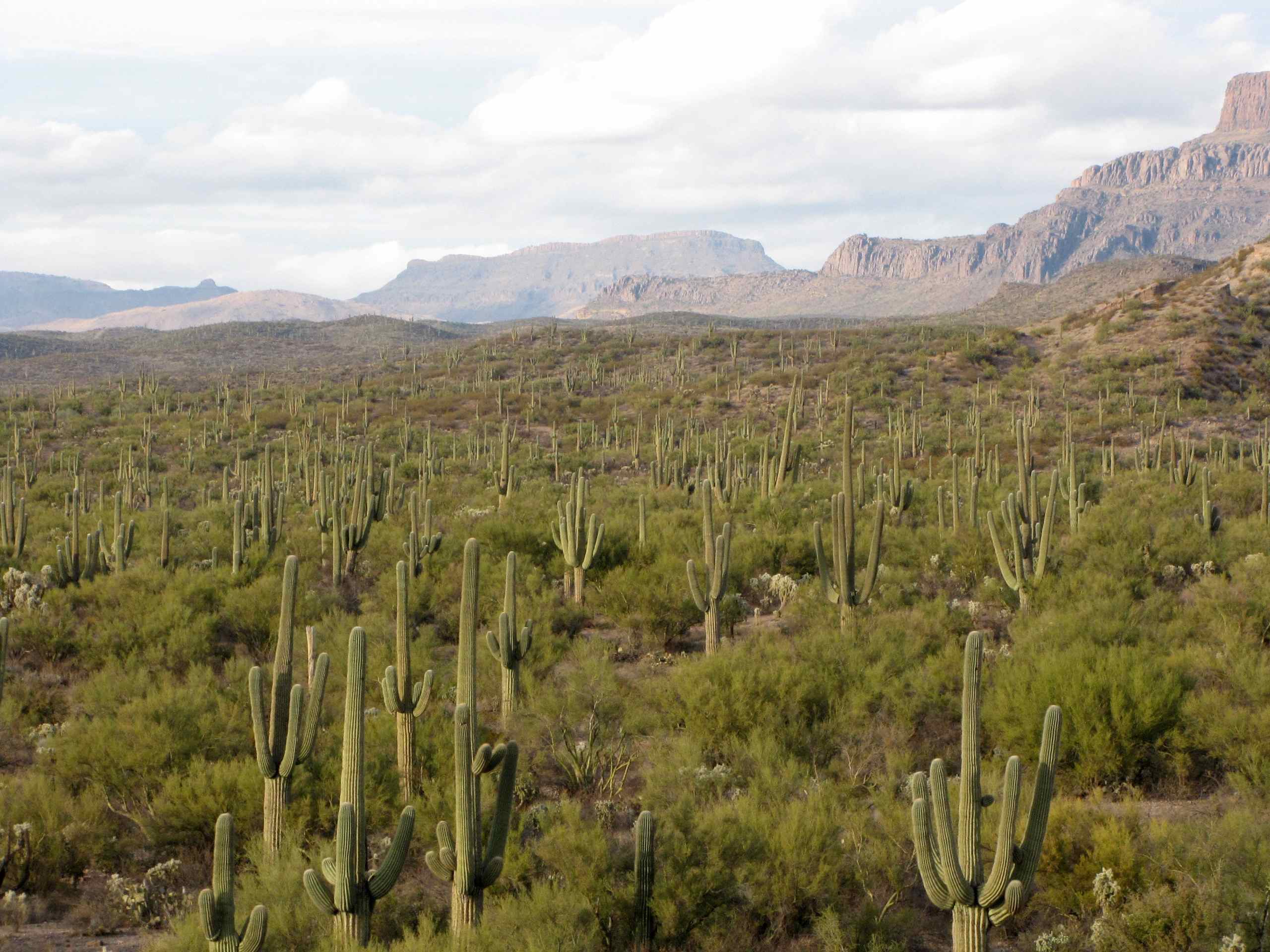
Saguaro Cacti with Sombrero Butte in distance; road up Cienega Wash, Galiuro Mountains, E of San Manuel, AZ
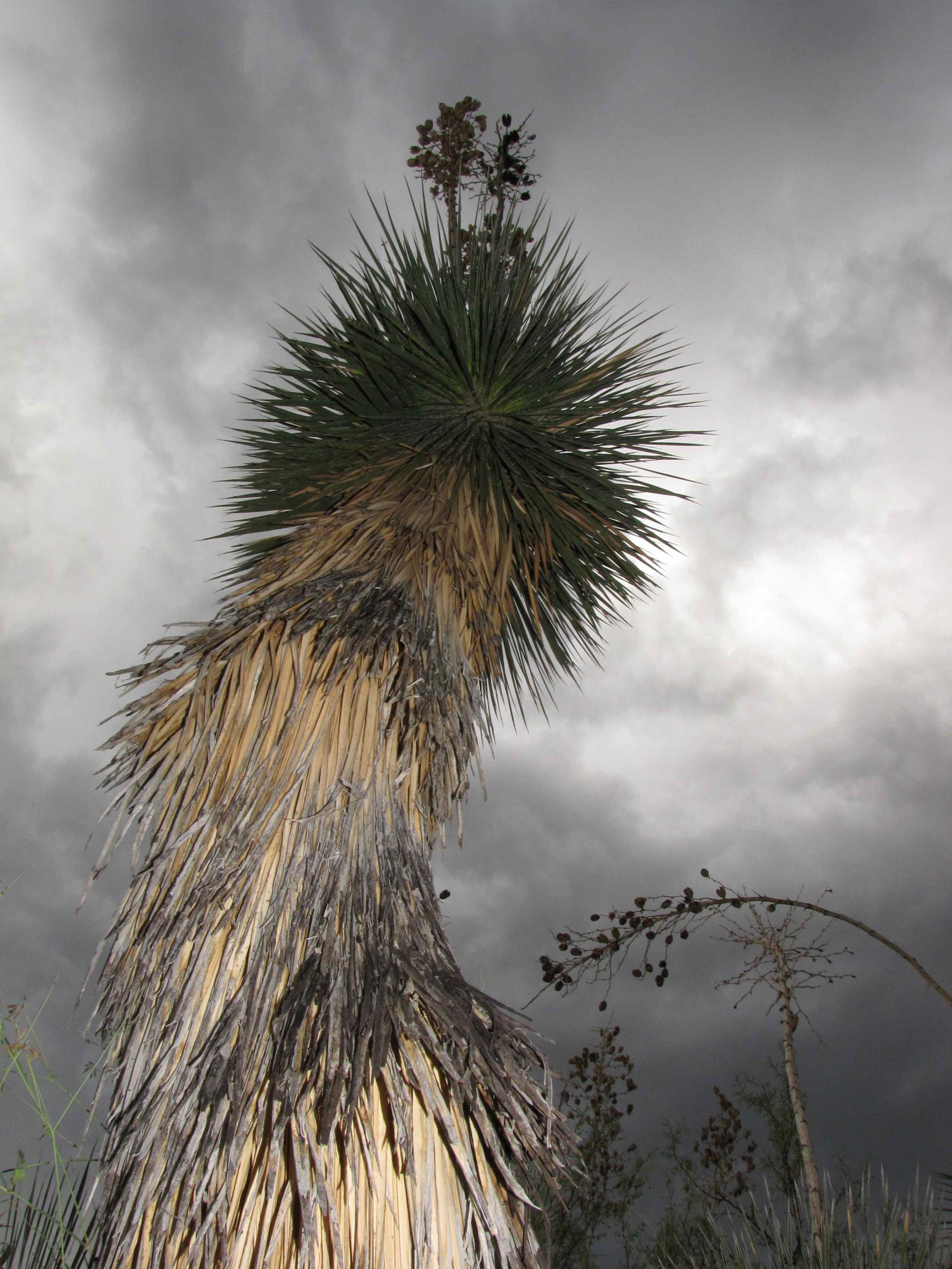
Soaptree Yucca with clouds; desert SW of San Manuel, AZ
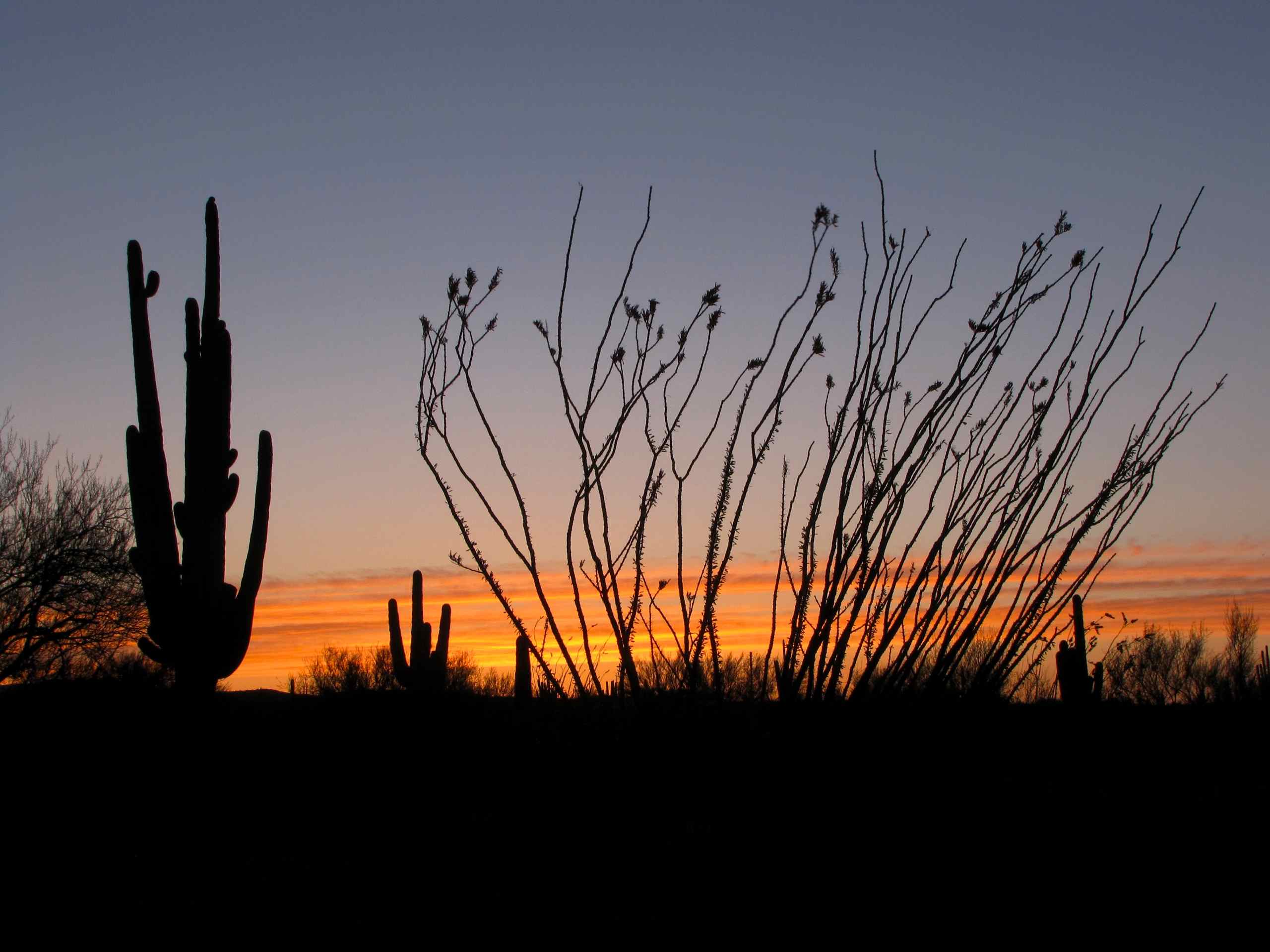
Saguaro Cacti at sunset; Black Hills Mine Road, South of San Manuel, AZ
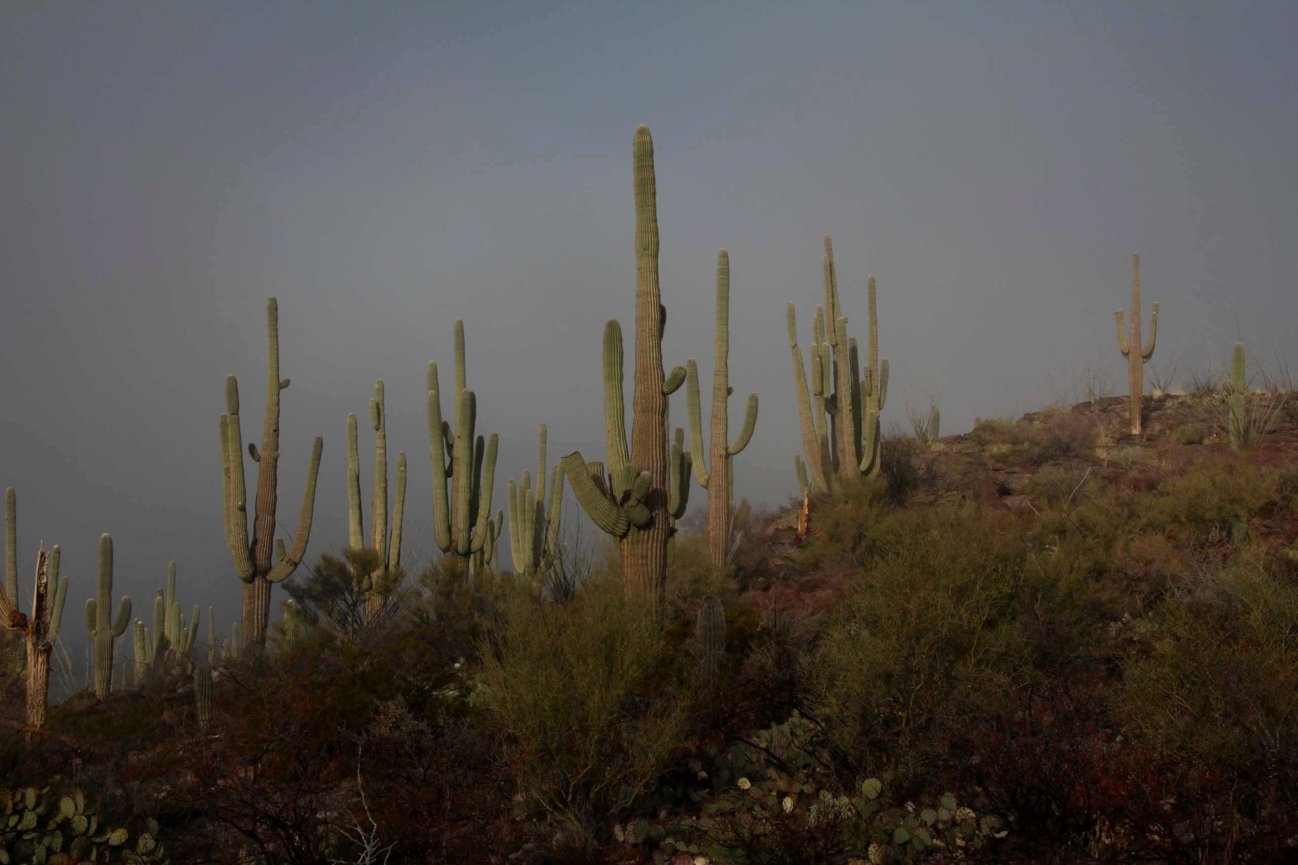
Saguaro Cacti in the fog
Topographic Map of North Redington Road, N Redington Rd, Arizona, USA
Find elevation by address:

Places near North Redington Road, N Redington Rd, Arizona, USA:
North Redington Road
North Redington Road
North Redington Road
North Redington Road
603 W 4th Ave
620 W 3rd Ave
905 W 3rd Ave
406 S Ave B
San Manuel
86160 E Bentwood St
East Vanessa Way
33800 S Cody Hills Rd
Oracle State Park
33989 S Apache Girl Trail
Main St, Mammoth, AZ, USA
Mammoth
35406 S Mt Lemmon Rd
33550 S Highjinks Rd
500 N Cody Loop Rd
333 N John Adams St
Recent Searches:
- Elevation map of Greenland, Greenland
- Elevation of Sullivan Hill, New York, New York, 10002, USA
- Elevation of Morehead Road, Withrow Downs, Charlotte, Mecklenburg County, North Carolina, 28262, USA
- Elevation of 2800, Morehead Road, Withrow Downs, Charlotte, Mecklenburg County, North Carolina, 28262, USA
- Elevation of Yangbi Yi Autonomous County, Yunnan, China
- Elevation of Pingpo, Yangbi Yi Autonomous County, Yunnan, China
- Elevation of Mount Malong, Pingpo, Yangbi Yi Autonomous County, Yunnan, China
- Elevation map of Yongping County, Yunnan, China
- Elevation of North 8th Street, Palatka, Putnam County, Florida, 32177, USA
- Elevation of 107, Big Apple Road, East Palatka, Putnam County, Florida, 32131, USA
- Elevation of Jiezi, Chongzhou City, Sichuan, China
- Elevation of Chongzhou City, Sichuan, China
- Elevation of Huaiyuan, Chongzhou City, Sichuan, China
- Elevation of Qingxia, Chengdu, Sichuan, China
- Elevation of Corso Fratelli Cairoli, 35, Macerata MC, Italy
- Elevation of Tallevast Rd, Sarasota, FL, USA
- Elevation of 4th St E, Sonoma, CA, USA
- Elevation of Black Hollow Rd, Pennsdale, PA, USA
- Elevation of Oakland Ave, Williamsport, PA, USA
- Elevation of Pedrógão Grande, Portugal