Elevation of Drumright, OK, USA
Location: United States > Oklahoma > Creek County >
Longitude: -96.601129
Latitude: 35.9884013
Elevation: 260m / 853feet
Barometric Pressure: 98KPa
Elevation Map:
Satellite Map:
Related Photos:

Junior Bull Riders Association, March 2013

Junior Bull Riders Association, March 2013

Junior Bull Riders Association, March 2013

Junior Bull Riders Association, March 2013

Junior Bull Riders Association, March 2013

Junior Bull Riders Association, March 2013

Junior Bull Riders Association, March 2013

Junior Bull Riders Association, March 2013

Junior Bull Riders Association, March 2013

bison bars

Junior Bull Riders Association, March 2013

power outage
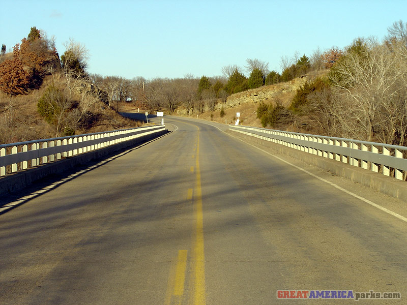
Cimarron bridge

Wildfires near Drumright

Wildfire sunset 2

Wildfire haze

okla 119

Drumright, OK.
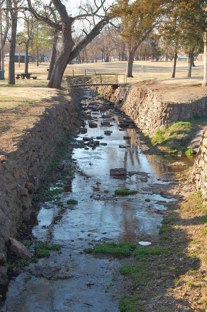
Cushing Canal
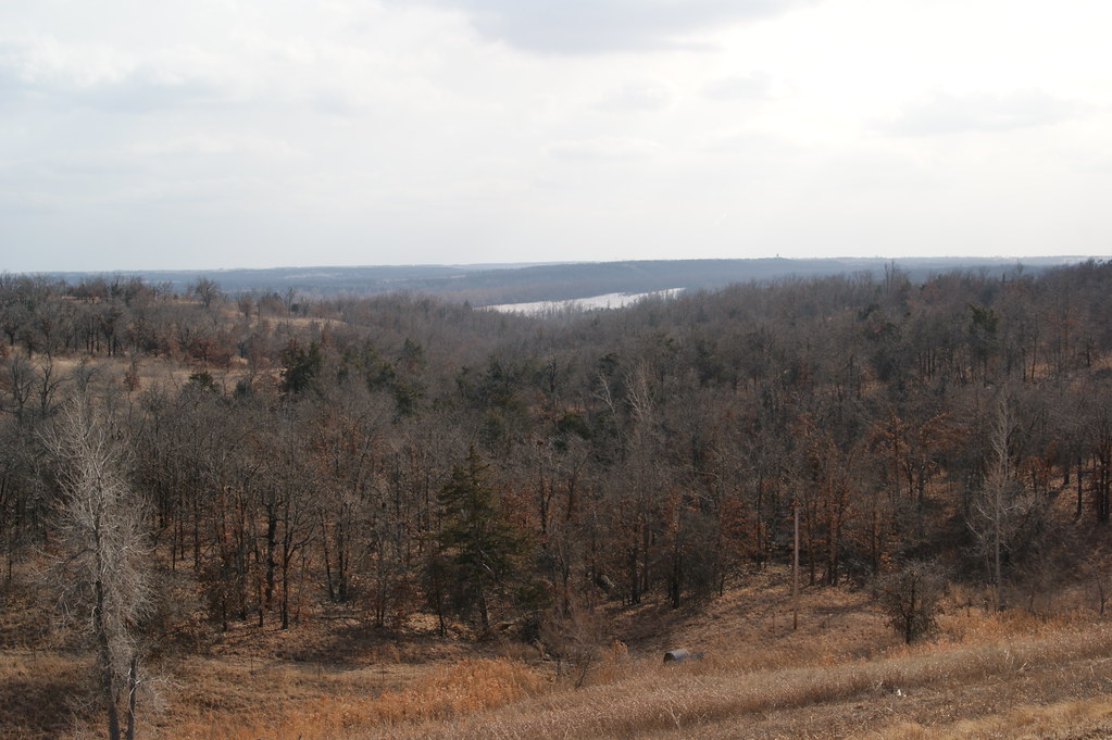
Looking down at the Cimarron River from Highway 51
Topographic Map of Drumright, OK, USA
Find elevation by address:

Places in Drumright, OK, USA:
Places near Drumright, OK, USA:
122 N Pennsylvania Ave
W 96th St S, Drumright, OK, USA
S th W Ave, Drumright, OK, USA
O'reilly Auto Parts
Cushing
South Harrison Avenue
Edward Jones - Financial Advisor: Grant E Mcneal
Stroud Lake
13369 Ok-48
Depew
OK-48, Bristow, OK, USA
OK-66, Bristow, OK, USA
Stroud
Hallett
S Main St, Bristow, OK, USA
Bristow
Gardenia Cir, Mannford, OK, USA
Cimarron Pointe Care Center
S 1st St, Agra, OK, USA
Agra
Recent Searches:
- Elevation of Corso Fratelli Cairoli, 35, Macerata MC, Italy
- Elevation of Tallevast Rd, Sarasota, FL, USA
- Elevation of 4th St E, Sonoma, CA, USA
- Elevation of Black Hollow Rd, Pennsdale, PA, USA
- Elevation of Oakland Ave, Williamsport, PA, USA
- Elevation of Pedrógão Grande, Portugal
- Elevation of Klee Dr, Martinsburg, WV, USA
- Elevation of Via Roma, Pieranica CR, Italy
- Elevation of Tavkvetili Mountain, Georgia
- Elevation of Hartfords Bluff Cir, Mt Pleasant, SC, USA