Elevation of Cimarron Pointe Care Center, Cimarron Dr, Mannford, OK, USA
Location: United States > Oklahoma > Creek County >
Longitude: -96.354906
Latitude: 36.1243737
Elevation: 249m / 817feet
Barometric Pressure: 98KPa
Elevation Map:
Satellite Map:
Related Photos:
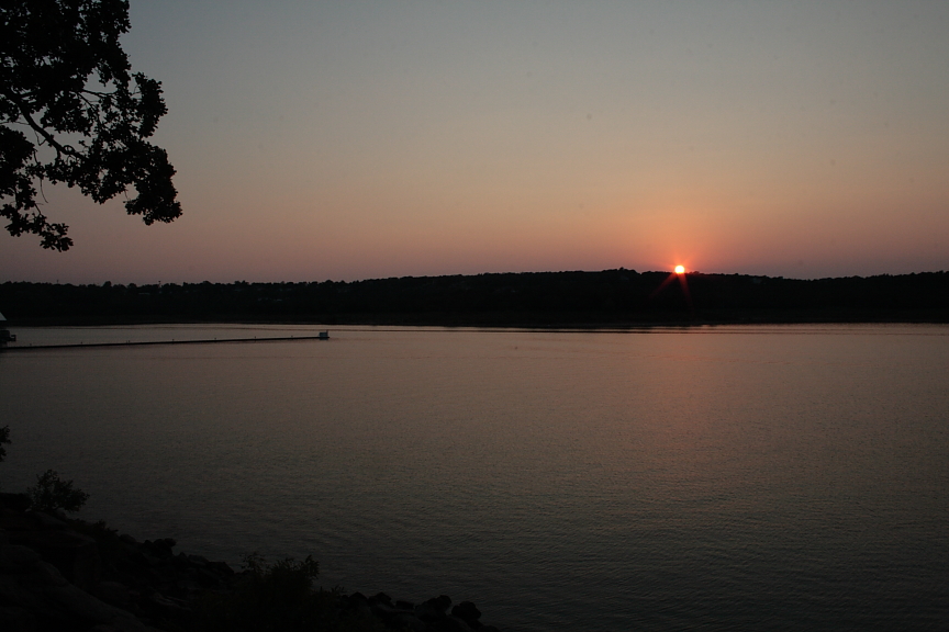
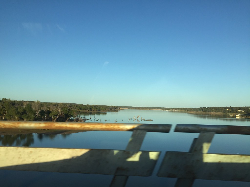
Sunset Across the Keystone

Keystone Dam by moonlight

Arkansas River, West of Tulsa, in 1941

20140802_18102401.jpg

20140411_20221101.jpg

Seven Brides for Seven Brothers

Seven Brides for Seven Brothers

Western Revue

Western Revue

Orange trees

The Old Abandoned School Bus
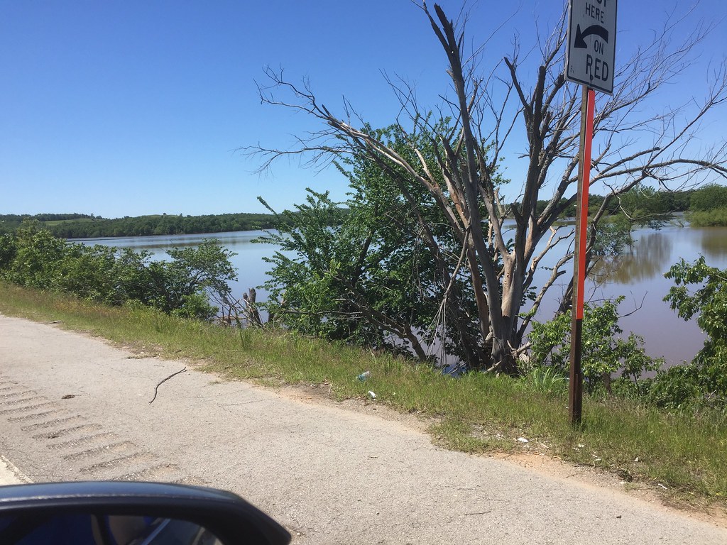
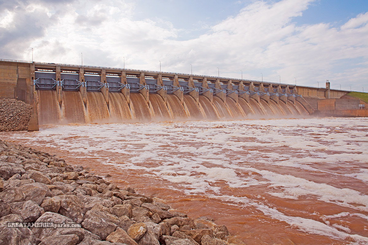
Flooding near Cleveland, Oklahoma
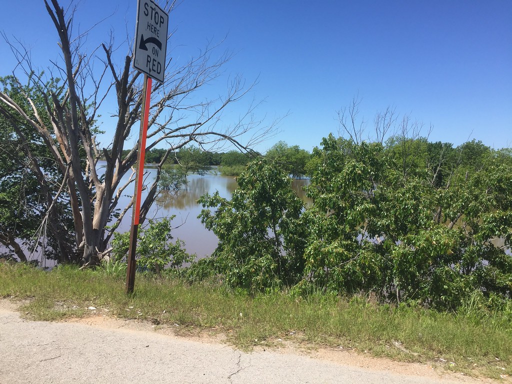
Flooding near Cleveland, Oklahoma
Day 111 of a new 365 day challenge

silky smooth
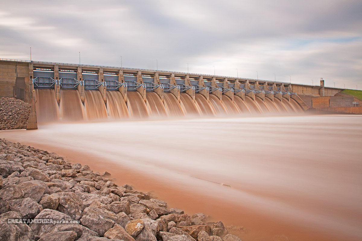
Keystone Dam: smoothing the raging waters
Keystone Dam water discharge

Baltimore Oriole
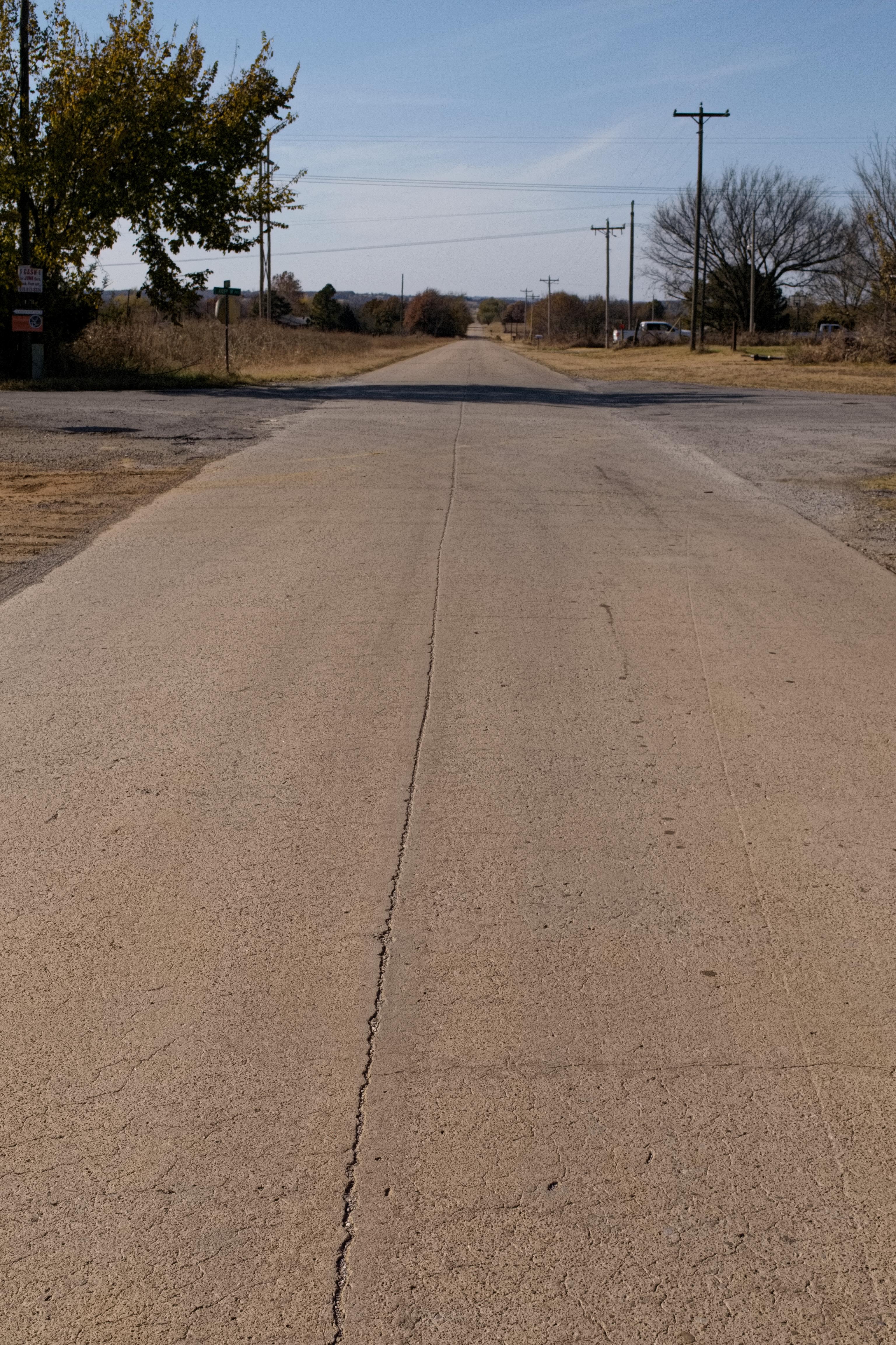
Old Highway 51

Hanging out with great Oma Lois
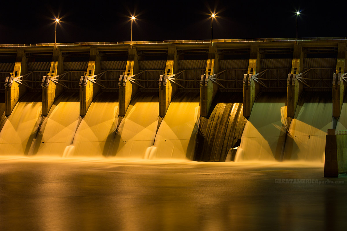
Keystone Dam at night
Day 95 of 365 Day Challenge
Topographic Map of Cimarron Pointe Care Center, Cimarron Dr, Mannford, OK, USA
Find elevation by address:

Places near Cimarron Pointe Care Center, Cimarron Dr, Mannford, OK, USA:
Gardenia Cir, Mannford, OK, USA
950 S Cimarron Valley Rd
Edgewater Rv & Mobile Park
Cimarron River
N Firehouse Rd, Cleveland, OK, USA
E Leroy Rd, Cleveland, OK, USA
Keystone Ancient Forest
Covered Wagon Pass
OK-51, Sand Springs, OK, USA
S th W Ave, Drumright, OK, USA
Sand Springs, OK, USA
13369 Ok-48
367215 E 5200 Rd
Osage
1610 S 155th W Ave
5327 S 161st W Ave
6320 S 155th W Ave
Cleveland
Dari-diner
Lake Country Christian School
Recent Searches:
- Elevation of Corso Fratelli Cairoli, 35, Macerata MC, Italy
- Elevation of Tallevast Rd, Sarasota, FL, USA
- Elevation of 4th St E, Sonoma, CA, USA
- Elevation of Black Hollow Rd, Pennsdale, PA, USA
- Elevation of Oakland Ave, Williamsport, PA, USA
- Elevation of Pedrógão Grande, Portugal
- Elevation of Klee Dr, Martinsburg, WV, USA
- Elevation of Via Roma, Pieranica CR, Italy
- Elevation of Tavkvetili Mountain, Georgia
- Elevation of Hartfords Bluff Cir, Mt Pleasant, SC, USA