Elevation of Gardenia Cir, Mannford, OK, USA
Location: United States > Oklahoma > Creek County >
Longitude: -96.356892
Latitude: 36.122431
Elevation: 244m / 801feet
Barometric Pressure: 98KPa
Elevation Map:
Satellite Map:
Related Photos:
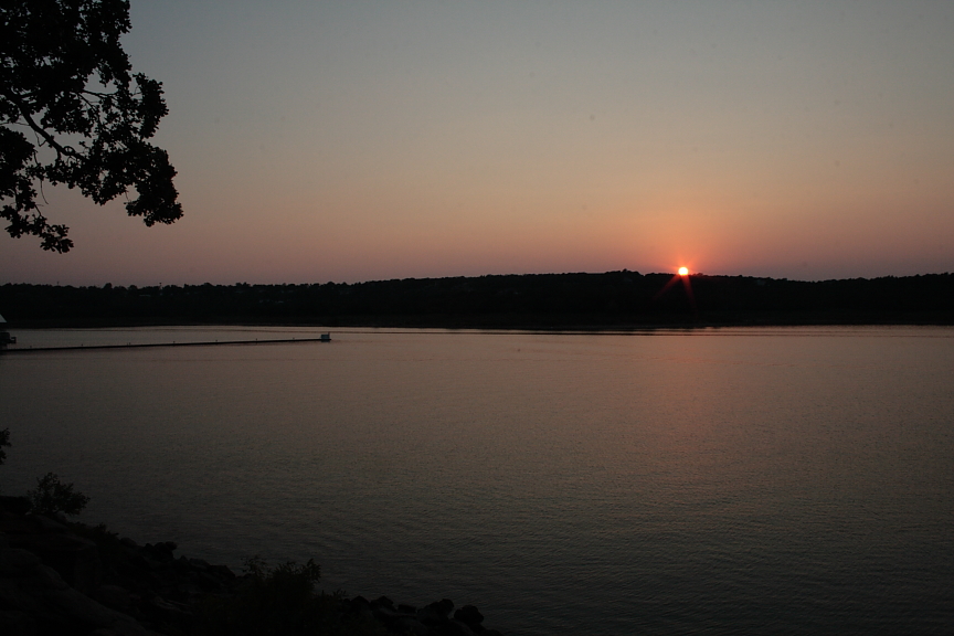
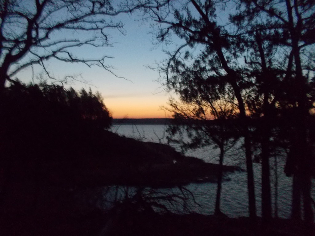
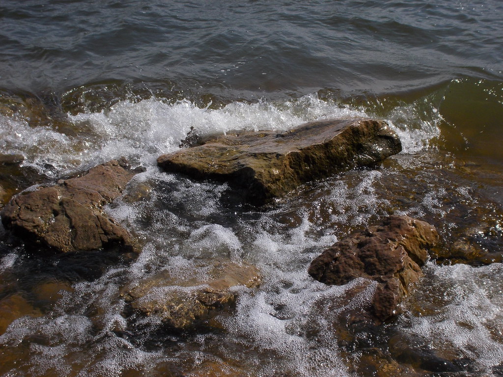
Sunset Across the Keystone
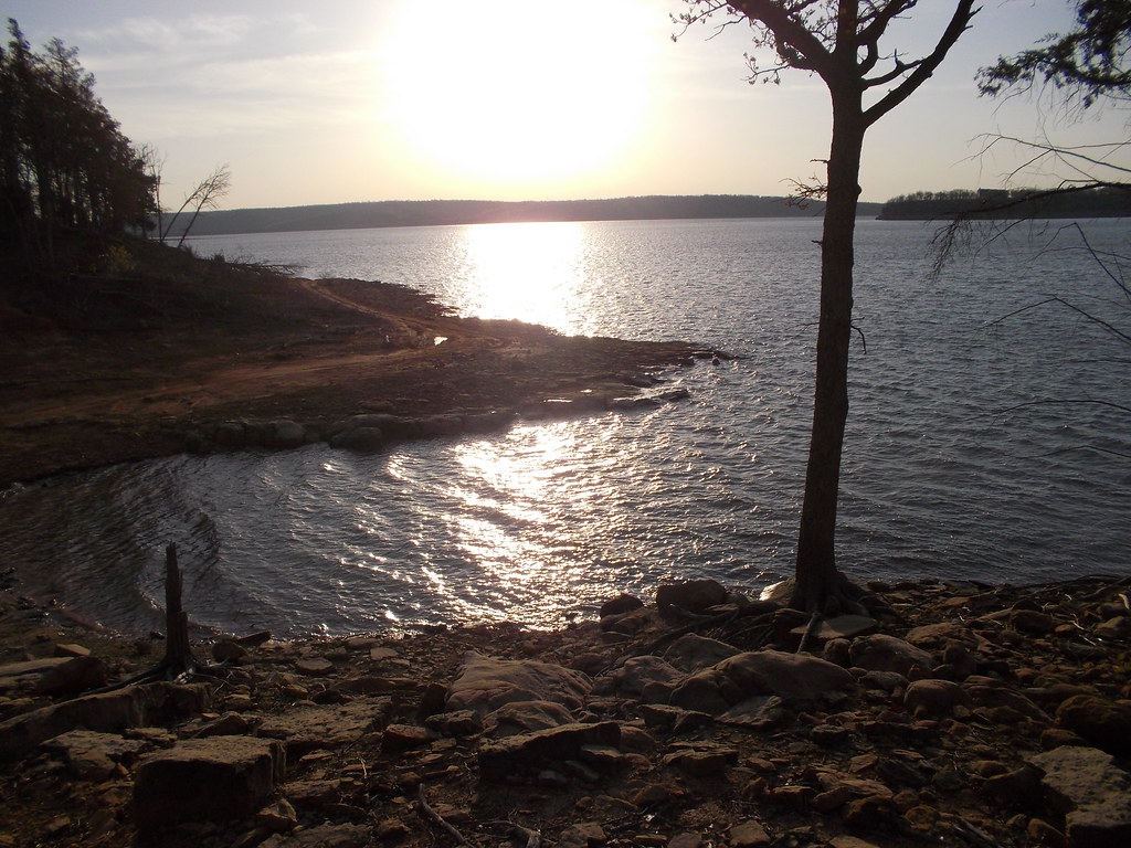
Appalachia Bay (Radiance)
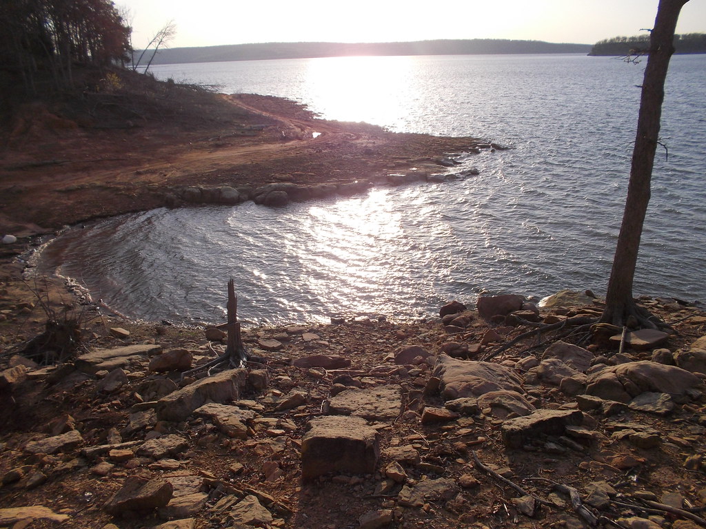
Appalachia Bay (Morning Sun)

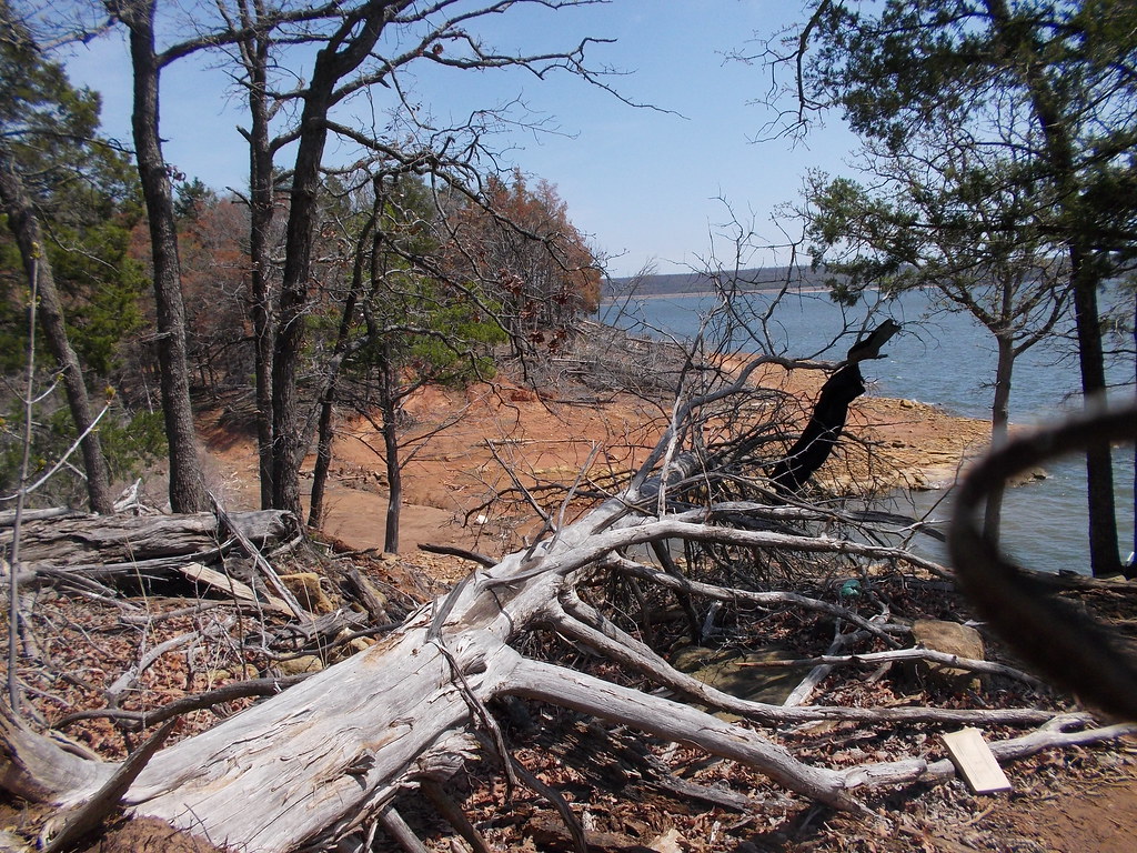
Wayward Sun

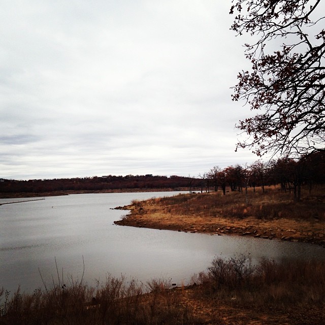
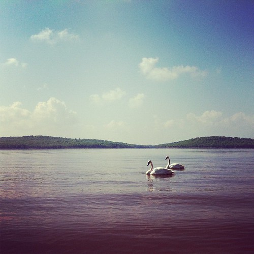
Sunset at the lake

Lots of colors

One last one
Appalachia Bay (Distance)

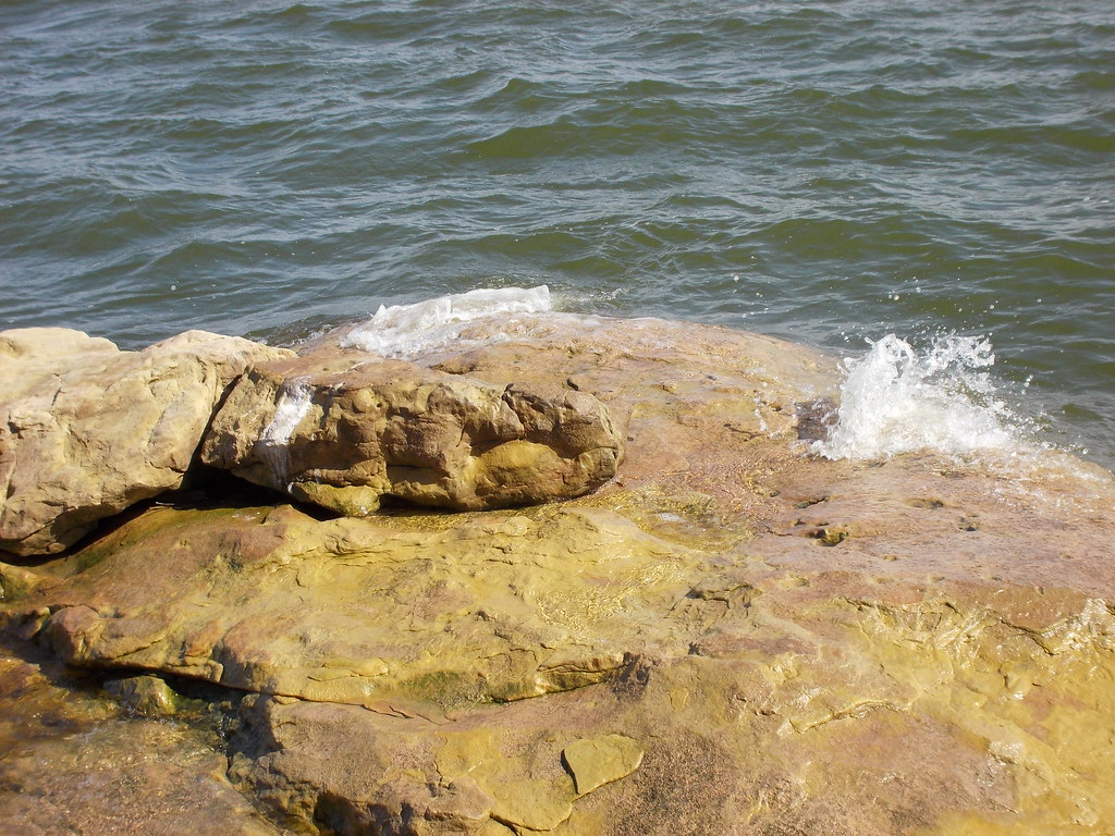
Appalachia Bay (Harbor)
Appalachia Bay (Shot 15)
Appalachia Bay (Early Sun)
Appalachia Bay (Shot 13)
Gloomy day outside, wish the sun...
Appalachia Bay (Shot 12)
Relaxing the day away.
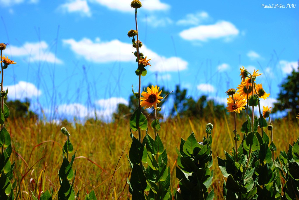
Blue Skies
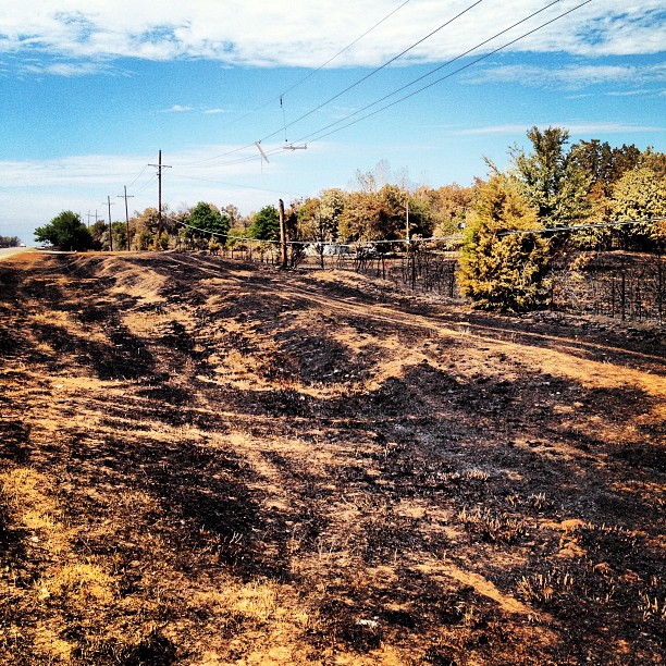
About a mile from my parent's church #mannford #wildfires
Topographic Map of Gardenia Cir, Mannford, OK, USA
Find elevation by address:

Places near Gardenia Cir, Mannford, OK, USA:
Cimarron Pointe Care Center
950 S Cimarron Valley Rd
Edgewater Rv & Mobile Park
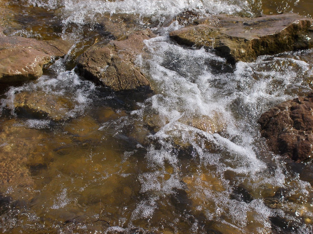
Cimarron River
N Firehouse Rd, Cleveland, OK, USA
E Leroy Rd, Cleveland, OK, USA
Keystone Ancient Forest
Covered Wagon Pass
OK-51, Sand Springs, OK, USA
S th W Ave, Drumright, OK, USA
13369 Ok-48
Sand Springs, OK, USA
367215 E 5200 Rd
Osage
5327 S 161st W Ave
1610 S 155th W Ave
6320 S 155th W Ave
Cleveland
Dari-diner
OK-48, Bristow, OK, USA
Recent Searches:
- Elevation of Corso Fratelli Cairoli, 35, Macerata MC, Italy
- Elevation of Tallevast Rd, Sarasota, FL, USA
- Elevation of 4th St E, Sonoma, CA, USA
- Elevation of Black Hollow Rd, Pennsdale, PA, USA
- Elevation of Oakland Ave, Williamsport, PA, USA
- Elevation of Pedrógão Grande, Portugal
- Elevation of Klee Dr, Martinsburg, WV, USA
- Elevation of Via Roma, Pieranica CR, Italy
- Elevation of Tavkvetili Mountain, Georgia
- Elevation of Hartfords Bluff Cir, Mt Pleasant, SC, USA