Elevation of OK-48, Bristow, OK, USA
Location: United States > Oklahoma > Creek County > Bristow >
Longitude: -96.402426
Latitude: 35.970093
Elevation: 254m / 833feet
Barometric Pressure: 98KPa
Elevation Map:
Satellite Map:
Related Photos:
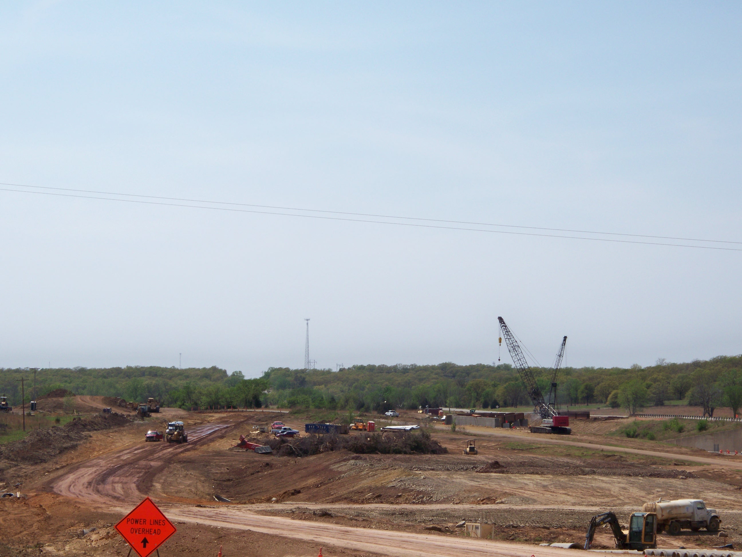
Project view

Project view
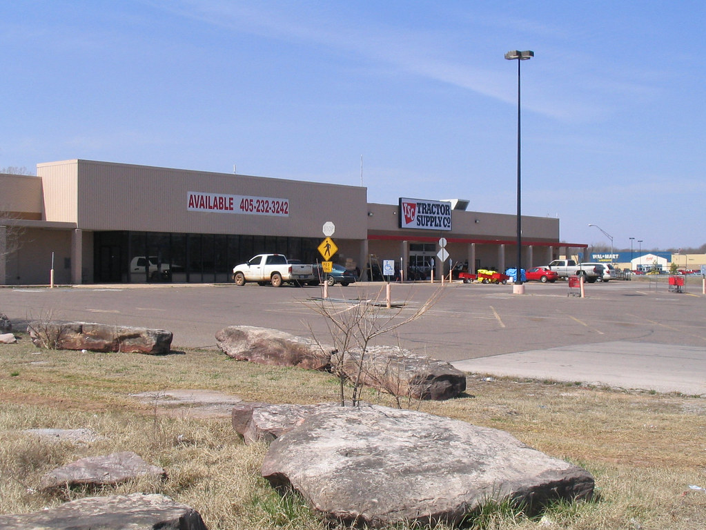
A tale of two Wal-Marts
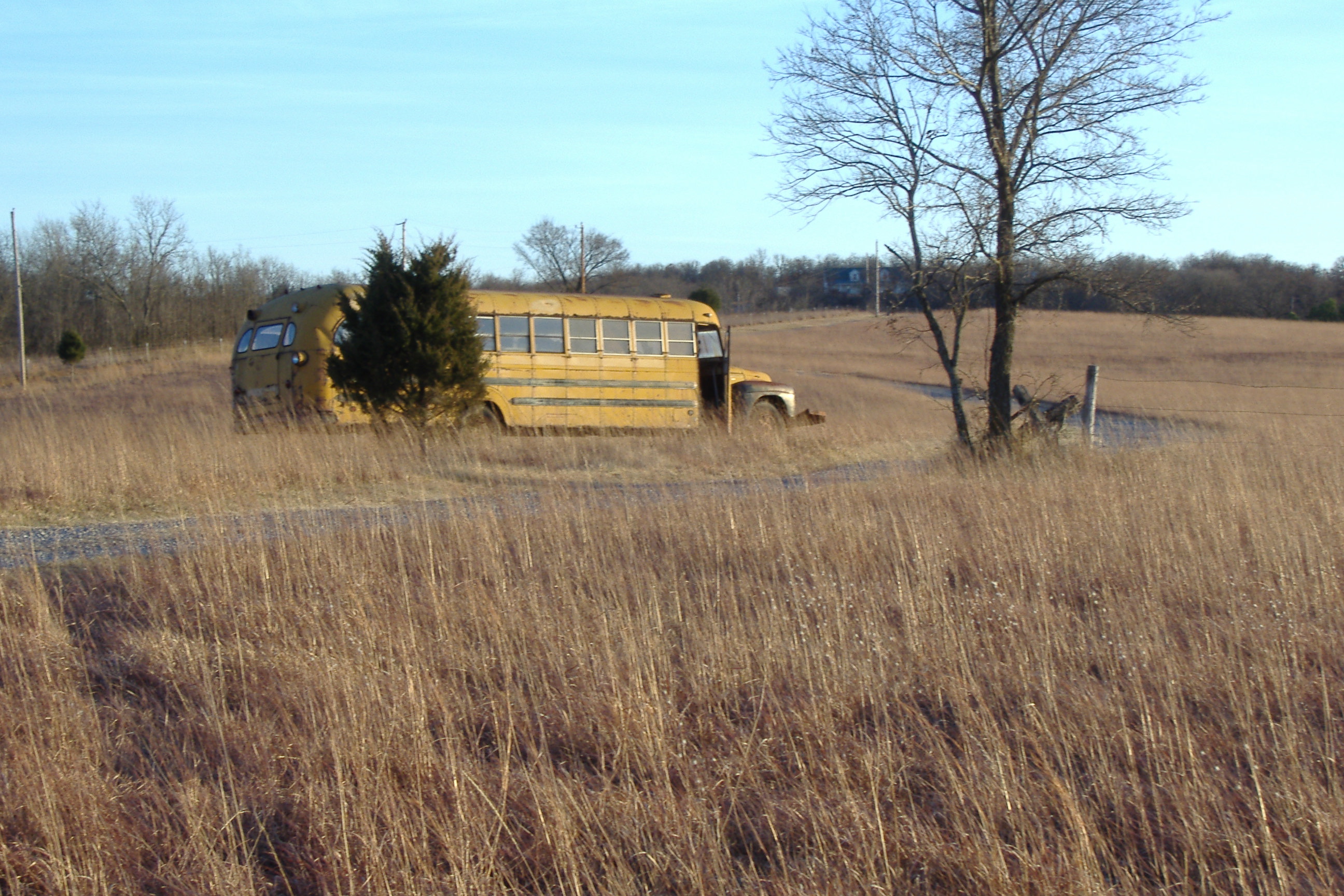
Redneck Camper

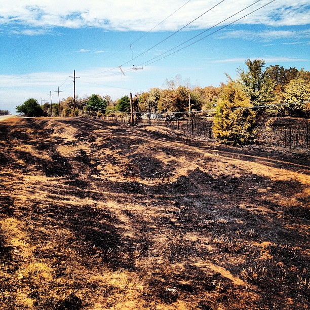
Wildfires near Drumright

How bout that!? Fall is right on time!

Wildfire sunset 2

Wildfire haze
About a mile from my parent's church #mannford #wildfires

IMGP4511.jpg

20180512-092732-21
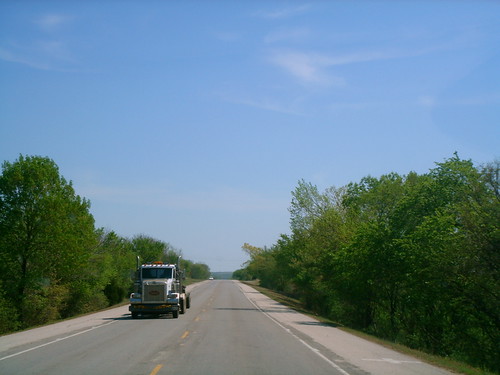
Old Route 66
Kellyview VVSF
20180512-092614-18
75yards from gravelroad
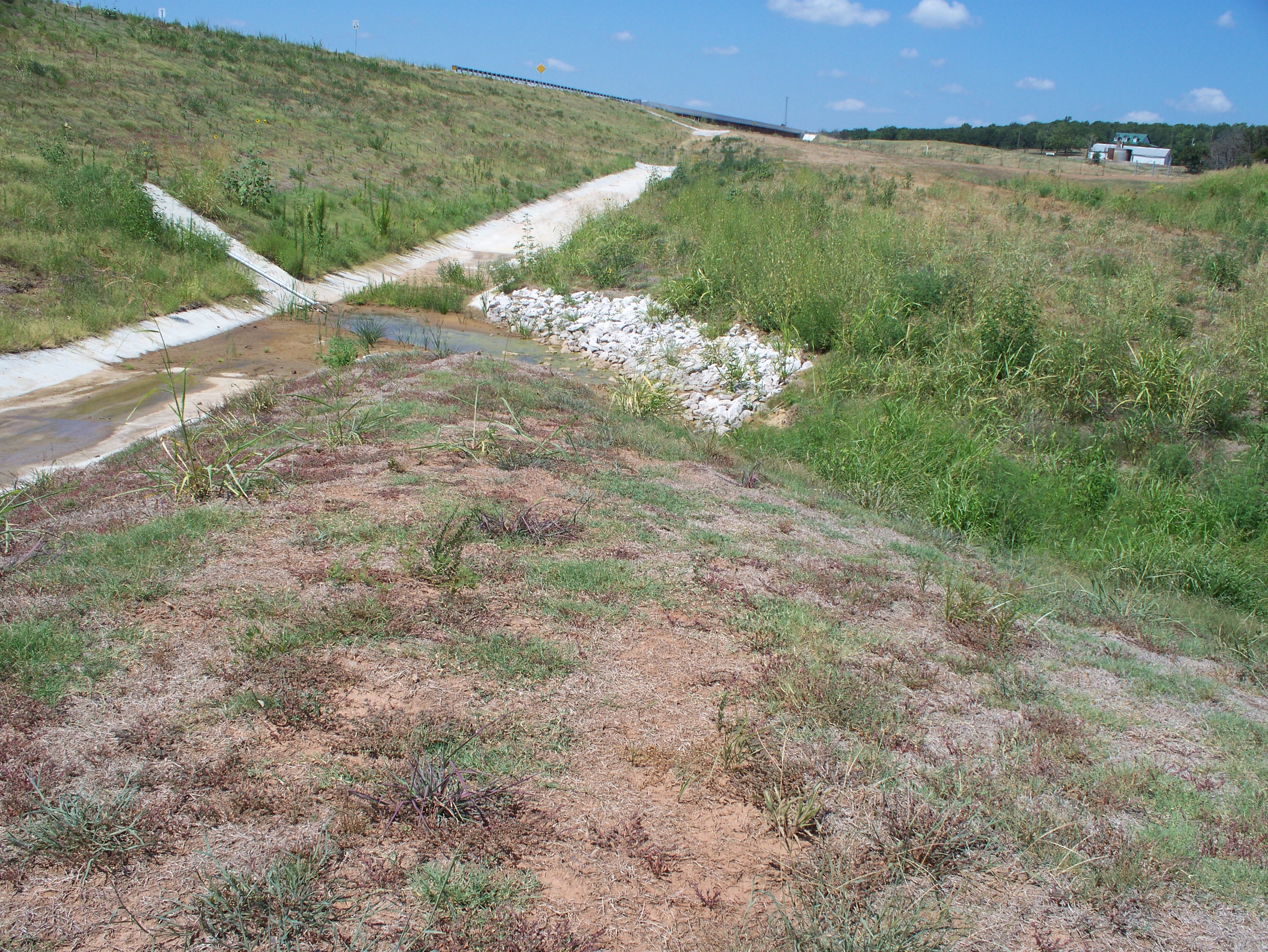
Ditchliner@crossing

20180512-092652-19
Topographic Map of OK-48, Bristow, OK, USA
Find elevation by address:

Places near OK-48, Bristow, OK, USA:
OK-48, Bristow, OK, USA
OK-66, Bristow, OK, USA
S th W Ave, Drumright, OK, USA
S Main St, Bristow, OK, USA
Bristow
Creek County
Gardenia Cir, Mannford, OK, USA
Cimarron Pointe Care Center
Kellyville
Depew
Drumright
122 N Pennsylvania Ave
W 96th St S, Drumright, OK, USA
950 S Cimarron Valley Rd
Cimarron River
Edgewater Rv & Mobile Park
2120 W Taft Ave
2120 W Taft Ave
OK-51, Sand Springs, OK, USA
6320 S 155th W Ave
Recent Searches:
- Elevation of Corso Fratelli Cairoli, 35, Macerata MC, Italy
- Elevation of Tallevast Rd, Sarasota, FL, USA
- Elevation of 4th St E, Sonoma, CA, USA
- Elevation of Black Hollow Rd, Pennsdale, PA, USA
- Elevation of Oakland Ave, Williamsport, PA, USA
- Elevation of Pedrógão Grande, Portugal
- Elevation of Klee Dr, Martinsburg, WV, USA
- Elevation of Via Roma, Pieranica CR, Italy
- Elevation of Tavkvetili Mountain, Georgia
- Elevation of Hartfords Bluff Cir, Mt Pleasant, SC, USA