Elevation of Agra, OK, USA
Location: United States > Oklahoma > Lincoln County >
Longitude: -96.872248
Latitude: 35.8947841
Elevation: 315m / 1033feet
Barometric Pressure: 98KPa
Elevation Map:
Satellite Map:
Related Photos:

power outage

Humming bird

Humming Bird
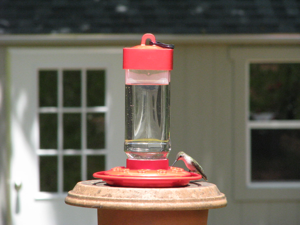
Humming Bird

Humming Bird

Let's do lunch

Fighting over the food

Humming Bird

Empty Birdbath

Humming Bird

bison bars
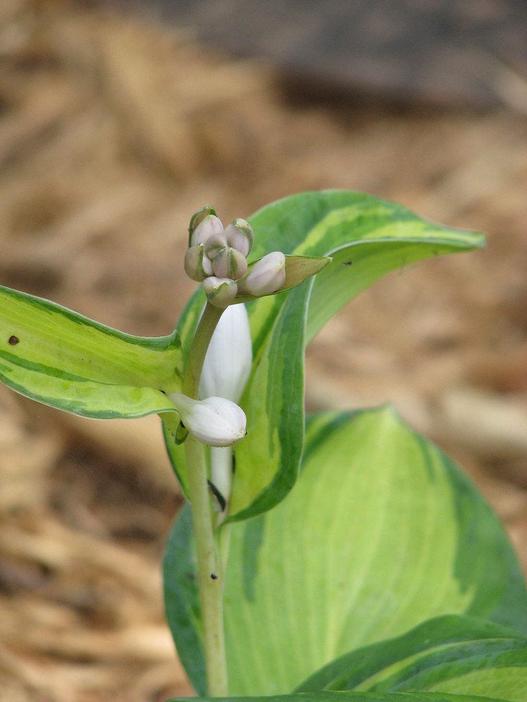
Hosta Bloom

Lincoln County Supercell

Oklahoma.

okla 119
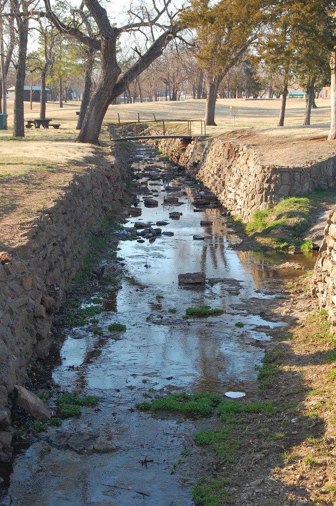
Cushing Canal
Topographic Map of Agra, OK, USA
Find elevation by address:

Places in Agra, OK, USA:
Places near Agra, OK, USA:
342586 E 750 Rd
S 1st St, Agra, OK, USA
Tryon
2 Central Ave, Carney, OK, USA
Morton Ave, Ripley, OK, USA
South Harrison Avenue
Edward Jones - Financial Advisor: Grant E Mcneal
Cushing
O'reilly Auto Parts
Us-177 & Ok-105
Carney
4310 E 80th St
204 W 8th St
Chandler
341000 Ok-66
Ingalls
Broadway Ave, Prague, OK, USA
Davenport
Blue Diamond Cabaret
Warwick
Recent Searches:
- Elevation of Corso Fratelli Cairoli, 35, Macerata MC, Italy
- Elevation of Tallevast Rd, Sarasota, FL, USA
- Elevation of 4th St E, Sonoma, CA, USA
- Elevation of Black Hollow Rd, Pennsdale, PA, USA
- Elevation of Oakland Ave, Williamsport, PA, USA
- Elevation of Pedrógão Grande, Portugal
- Elevation of Klee Dr, Martinsburg, WV, USA
- Elevation of Via Roma, Pieranica CR, Italy
- Elevation of Tavkvetili Mountain, Georgia
- Elevation of Hartfords Bluff Cir, Mt Pleasant, SC, USA