Elevation of Davenport, OK, USA
Location: United States > Oklahoma > Lincoln County >
Longitude: -96.765299
Latitude: 35.7047891
Elevation: 259m / 850feet
Barometric Pressure: 98KPa
Elevation Map:
Satellite Map:
Related Photos:

Bel Air Nr. 1
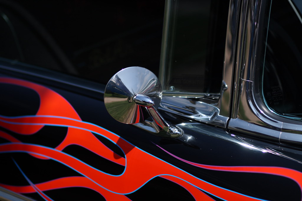
Bel Air Nr. 2
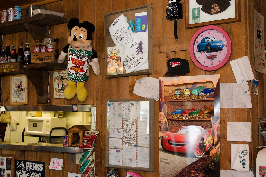
Rock Cafe wall with goodies from Pixar
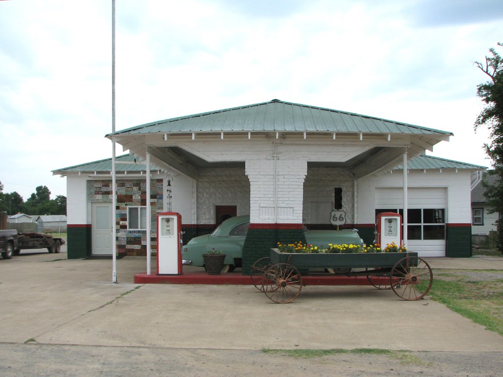
Davenport Texaco
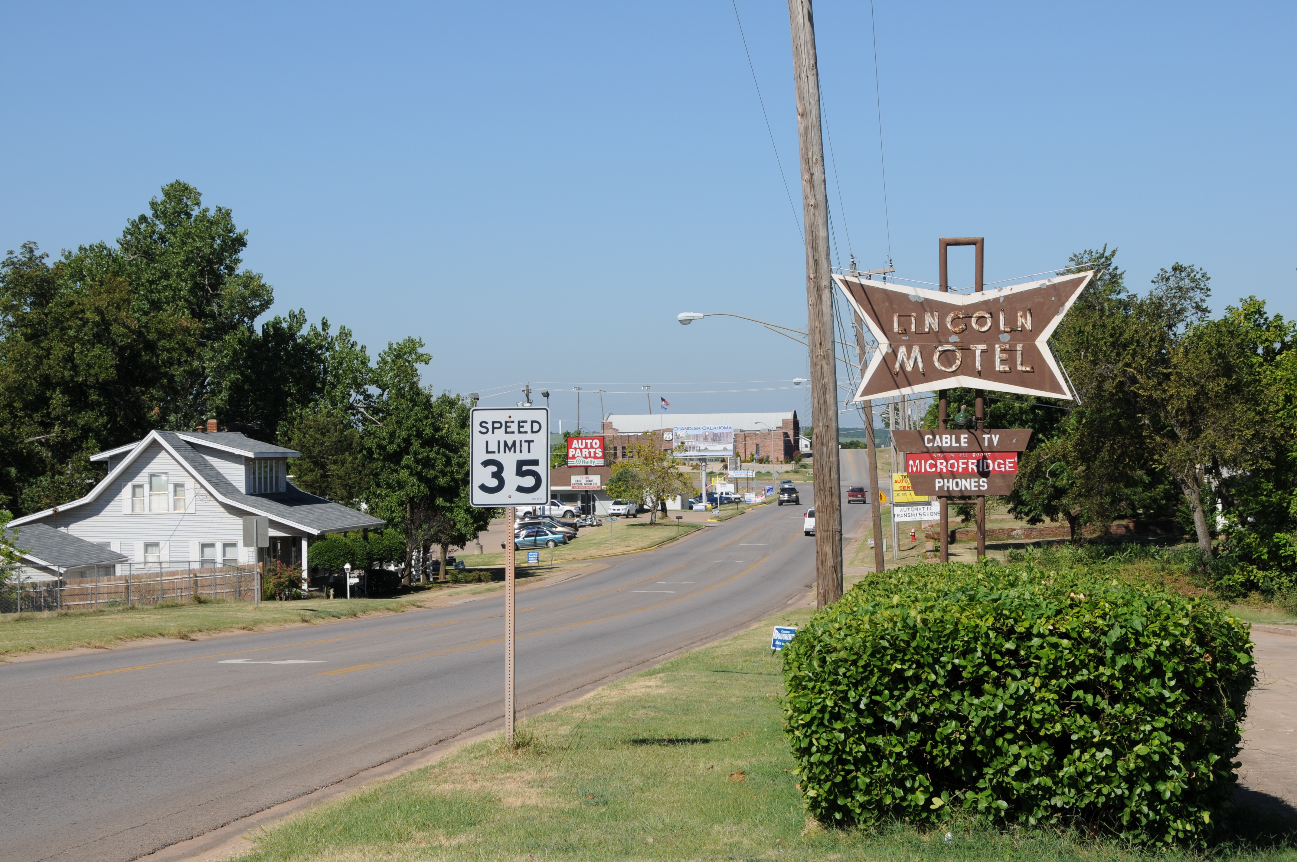
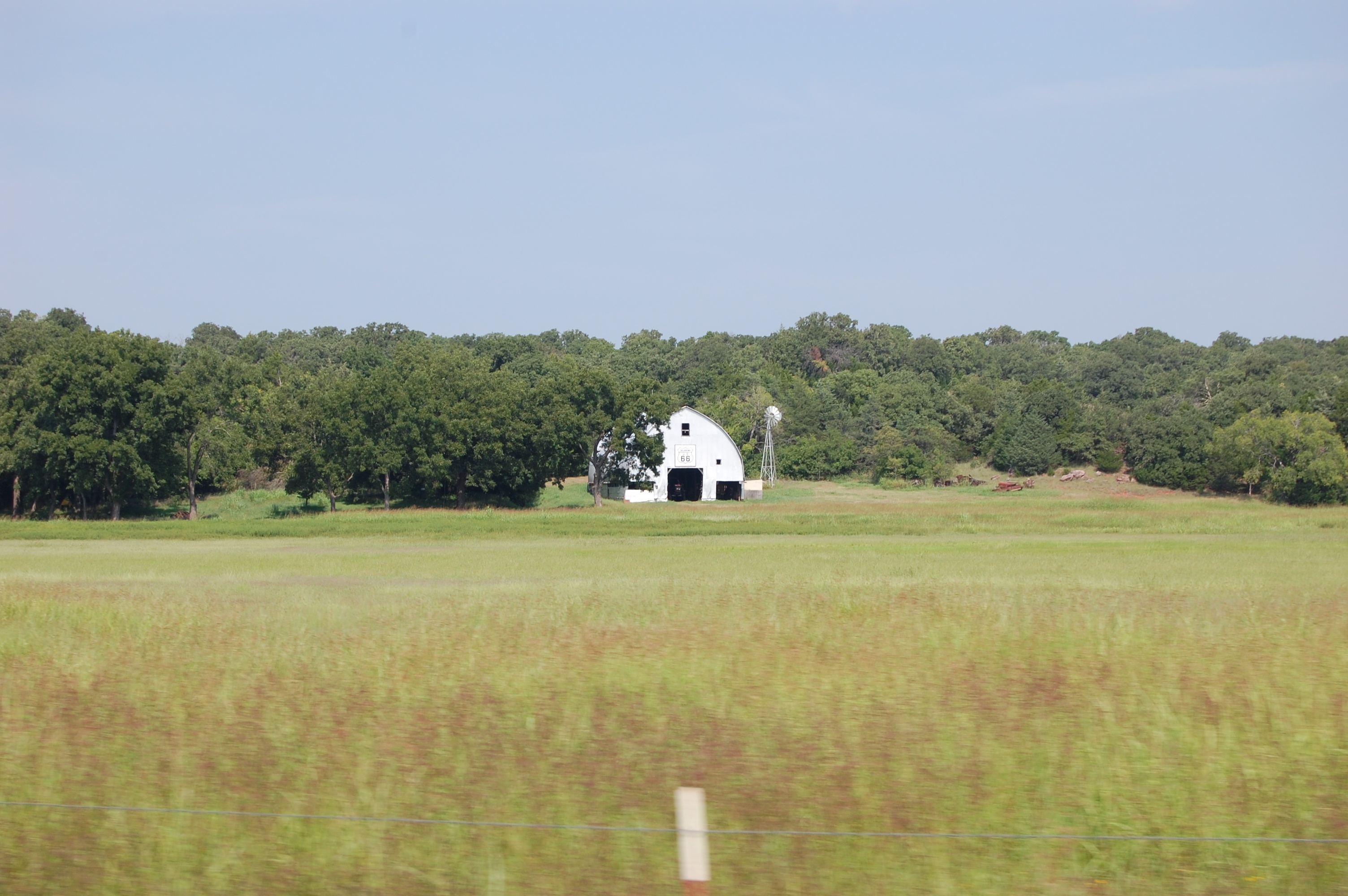
ROUTE66_2010_0693 - CHANDLER OK

lookie here

View from the pan
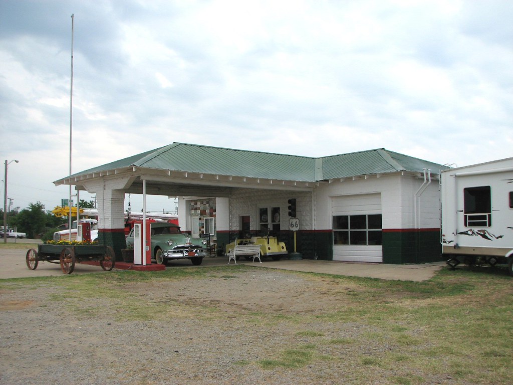
Davenport Texaco-Side View
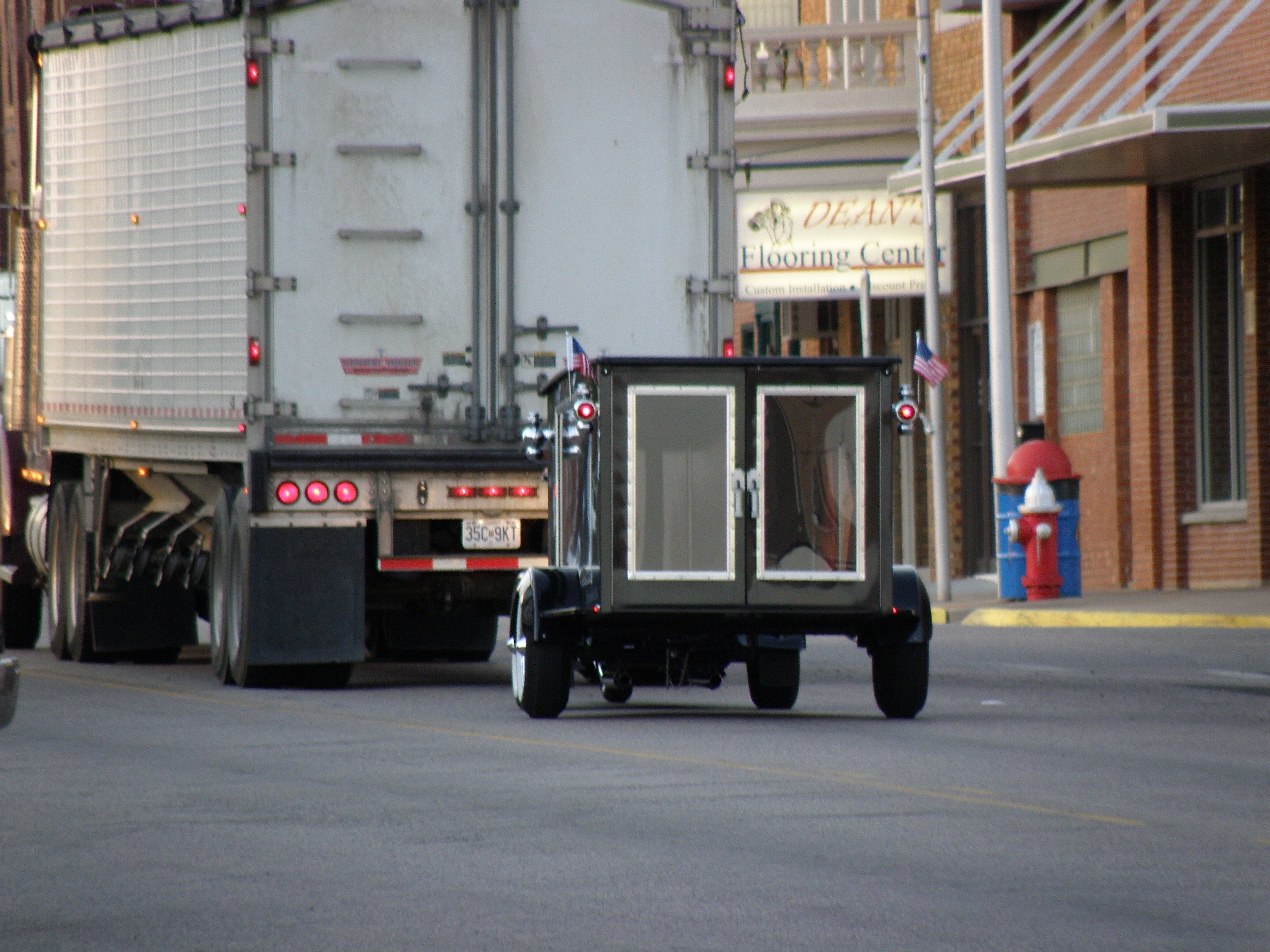
"Last Ride Motorcycle Hearse"

Lincoln County Supercell

DSC02076-Edit.jpg

043 copy

10-06-15 Day 18 - Route 66

Benjiman Hamon. My Great Great Great grandfather. #ancestry #relatives #history #oklahoma
DSC02064-Edit.jpg
OK Spring Fling 2015 39
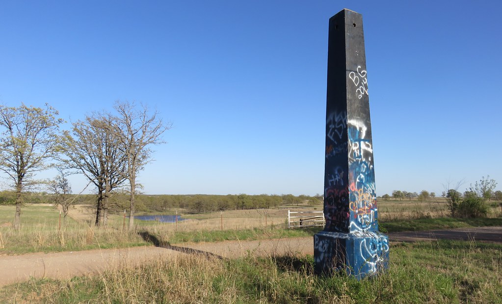
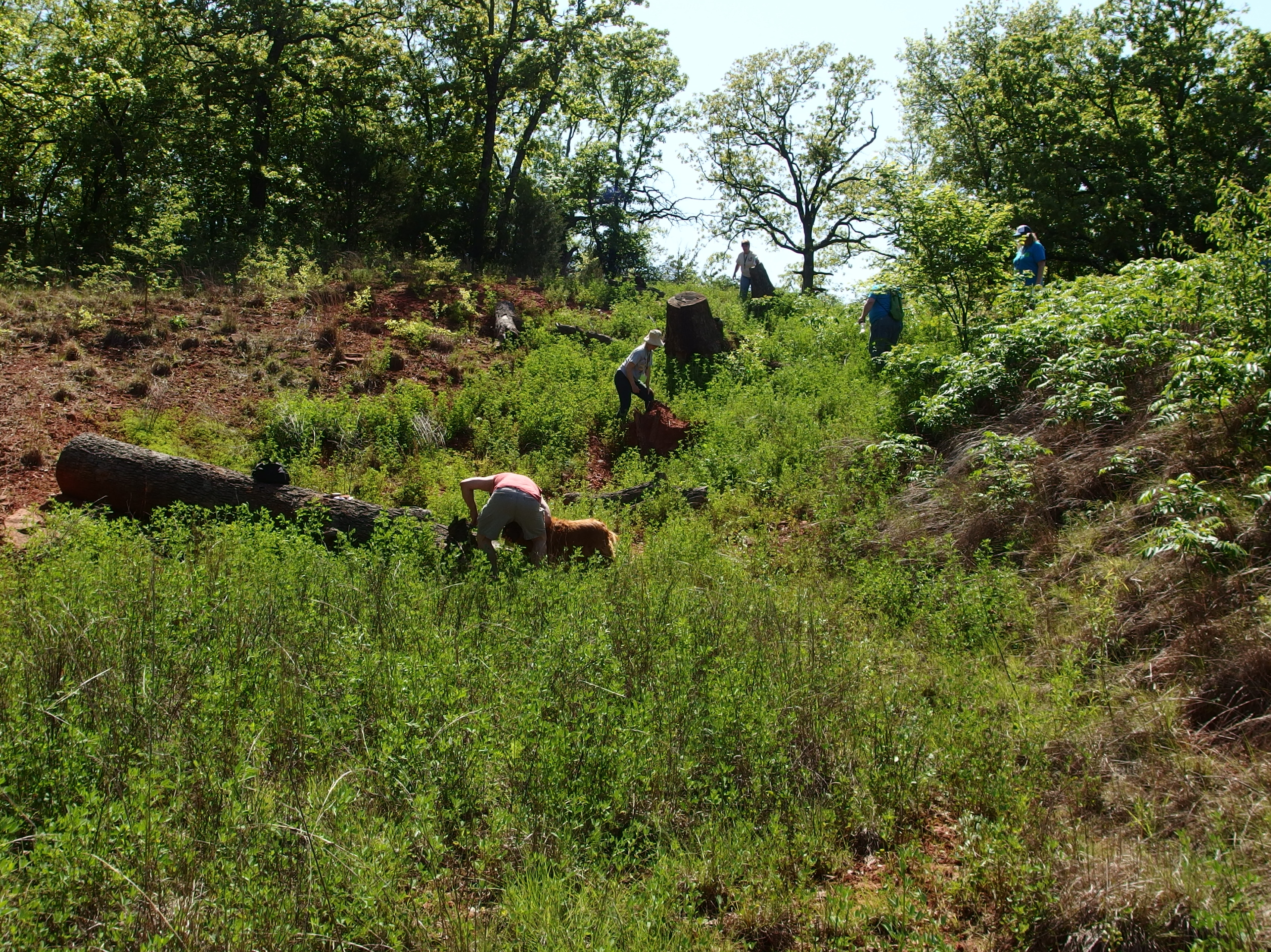
Old Ozark Trail Monument and Landscape (Stroud, Oklahoma)
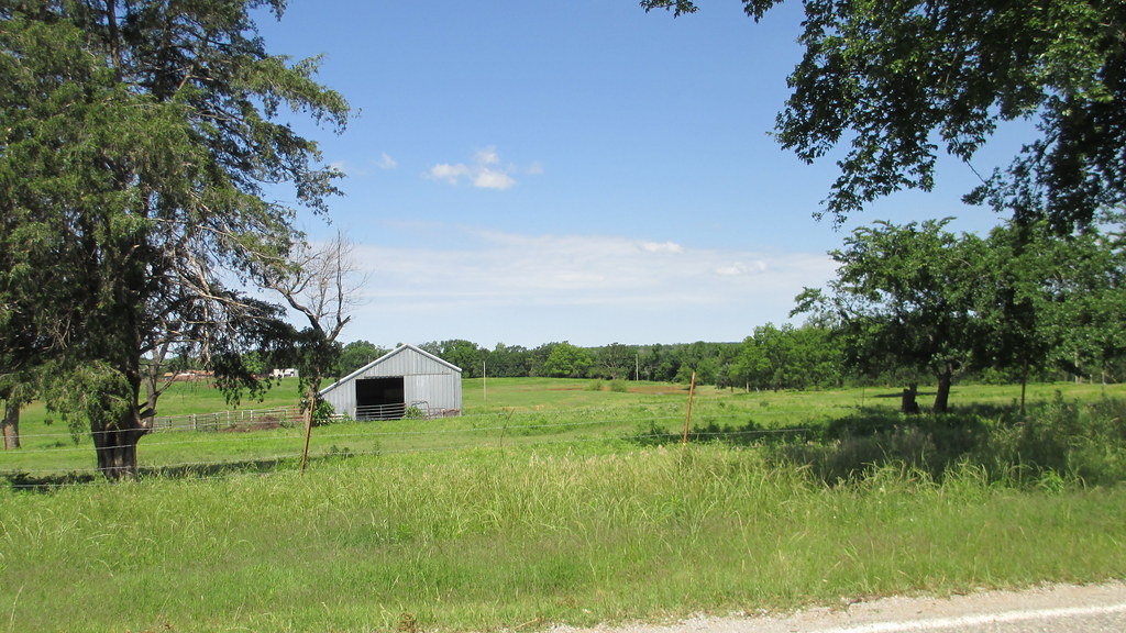
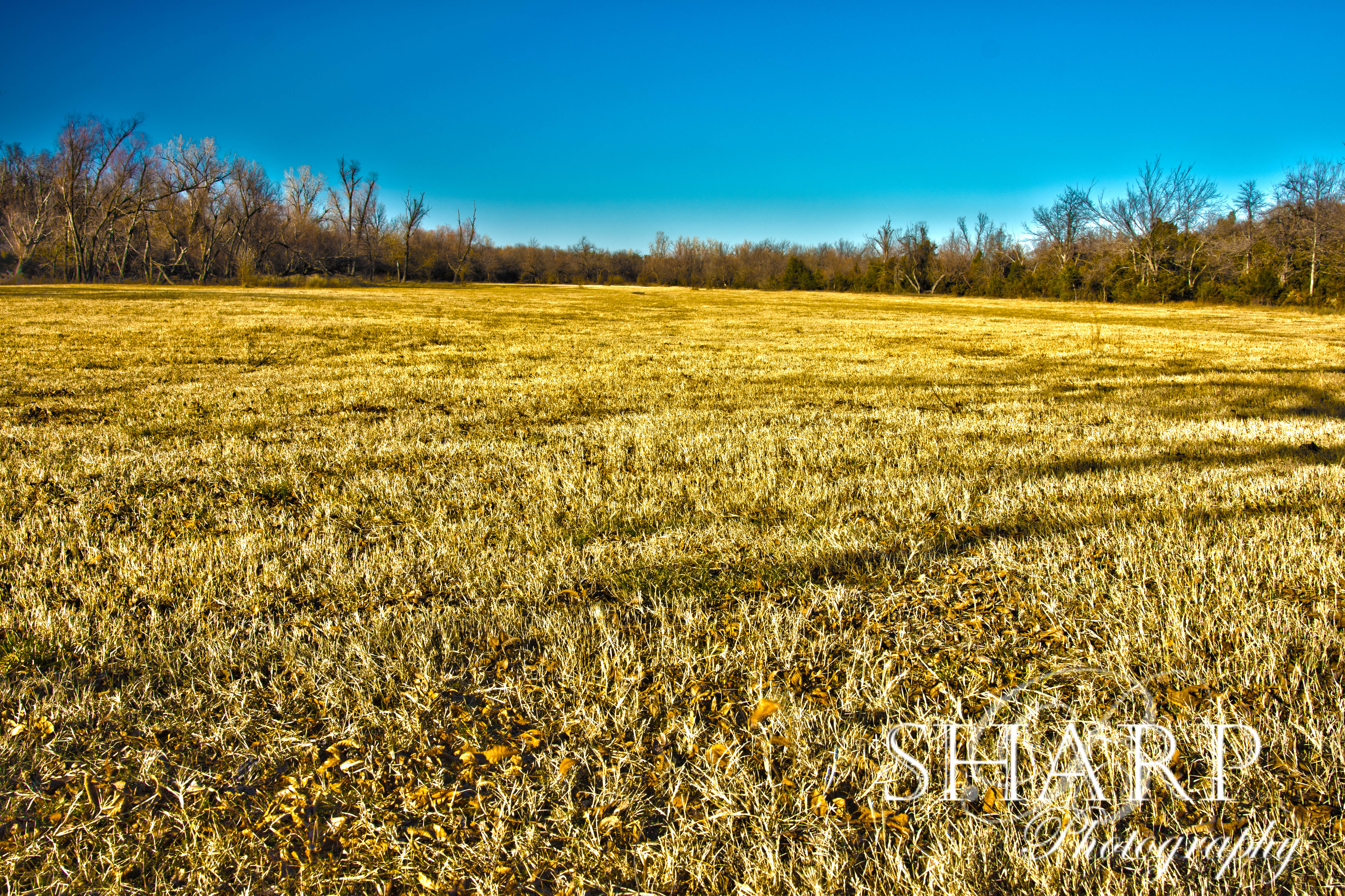
Central Oklahoma Landscape (Lincoln County, Oklahoma)
Central Oklahoma Landscape (Lincoln County, Oklahoma)
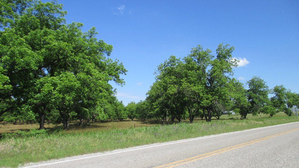
Outside Chandler

old Rte 66 roadbed
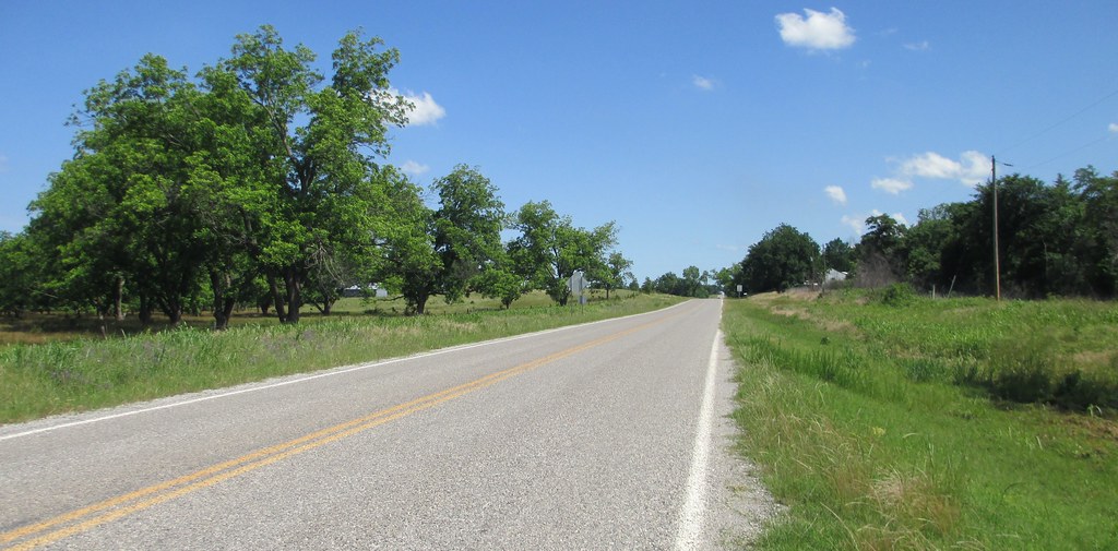
Central Oklahoma Landscape (Lincoln County, Oklahoma)
OK Spring Fling 2015 44

Old Ozark Trail Monument and Landscape (Stroud, Oklahoma)
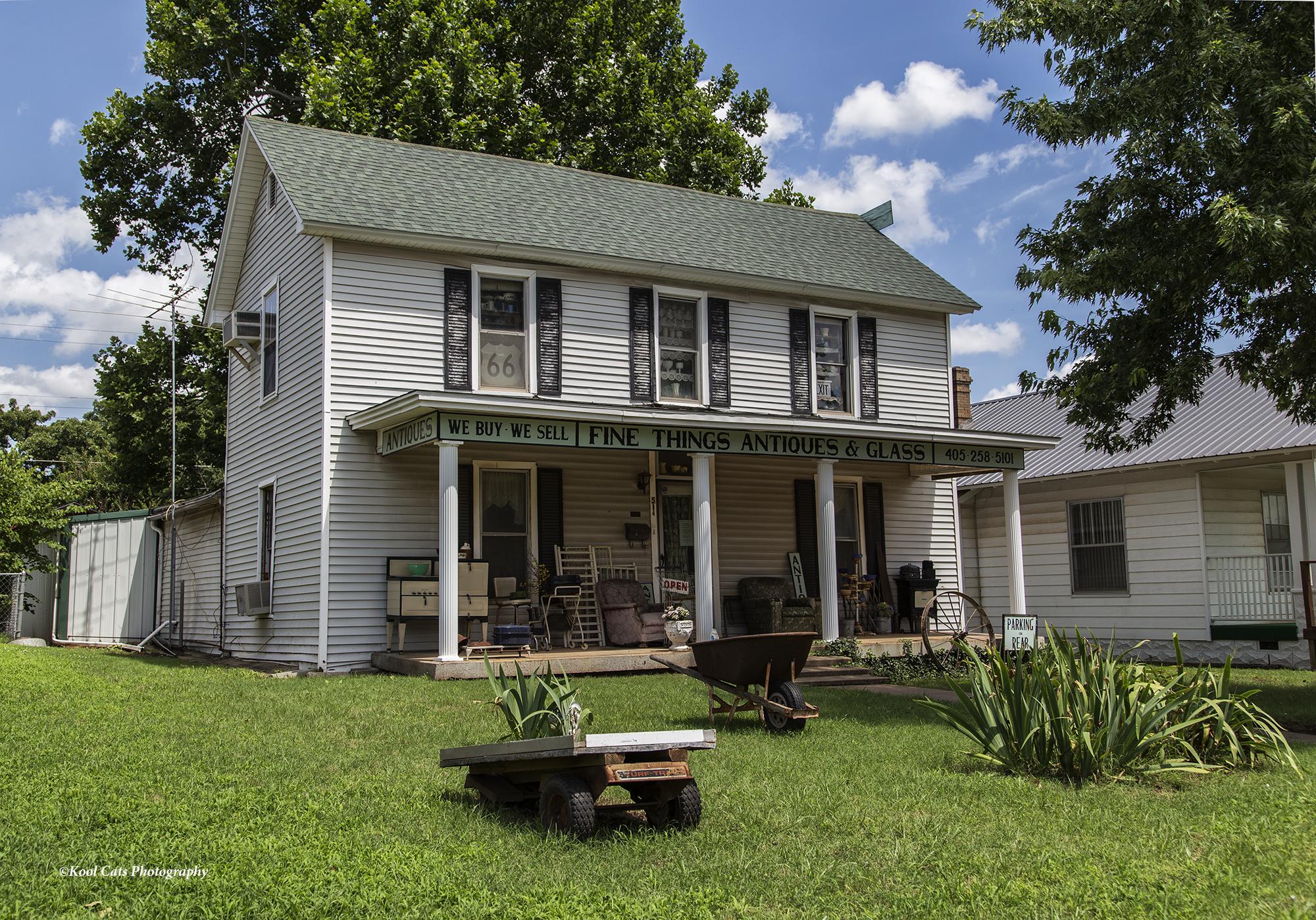
The Antique Shop
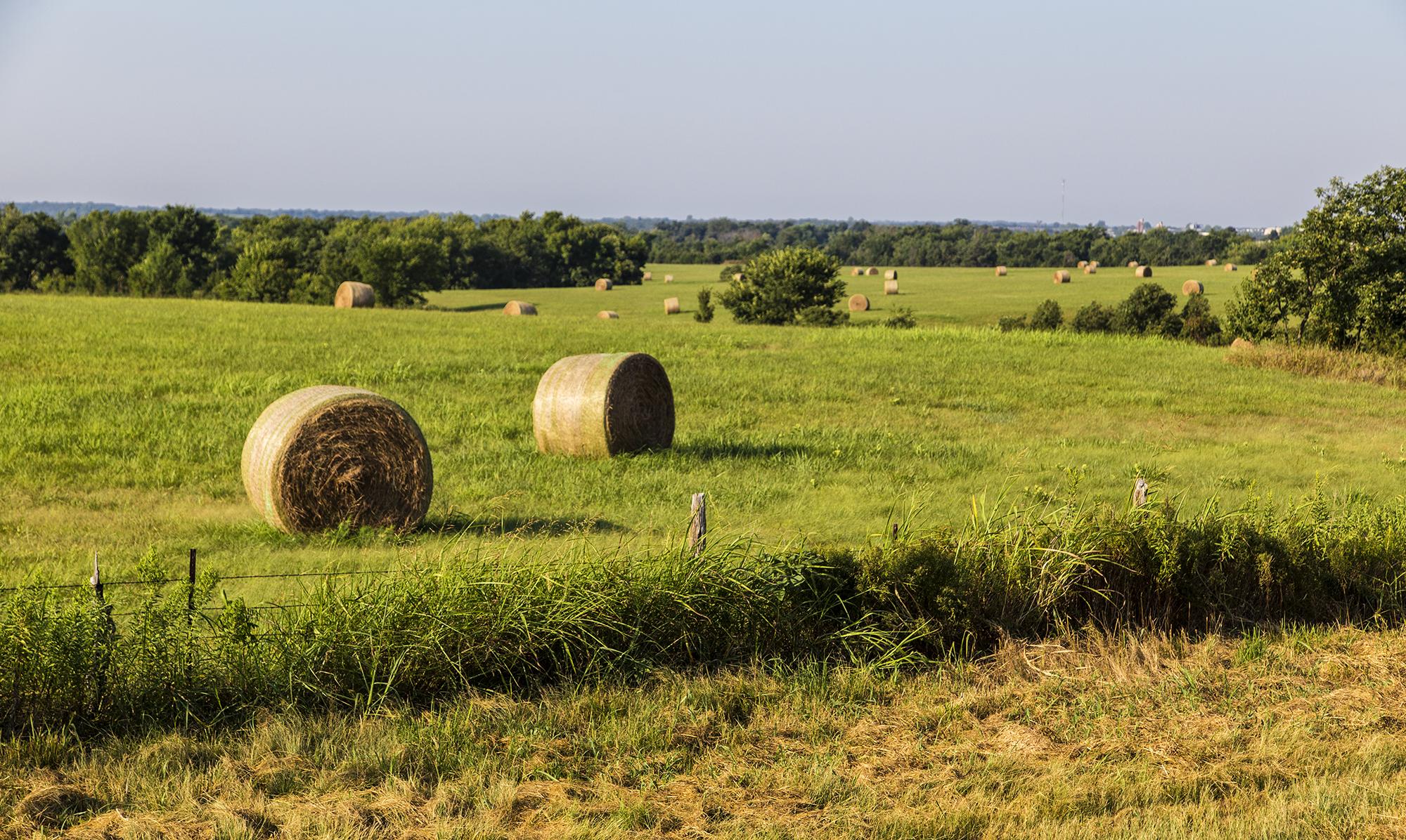
Lots of Hay Bales
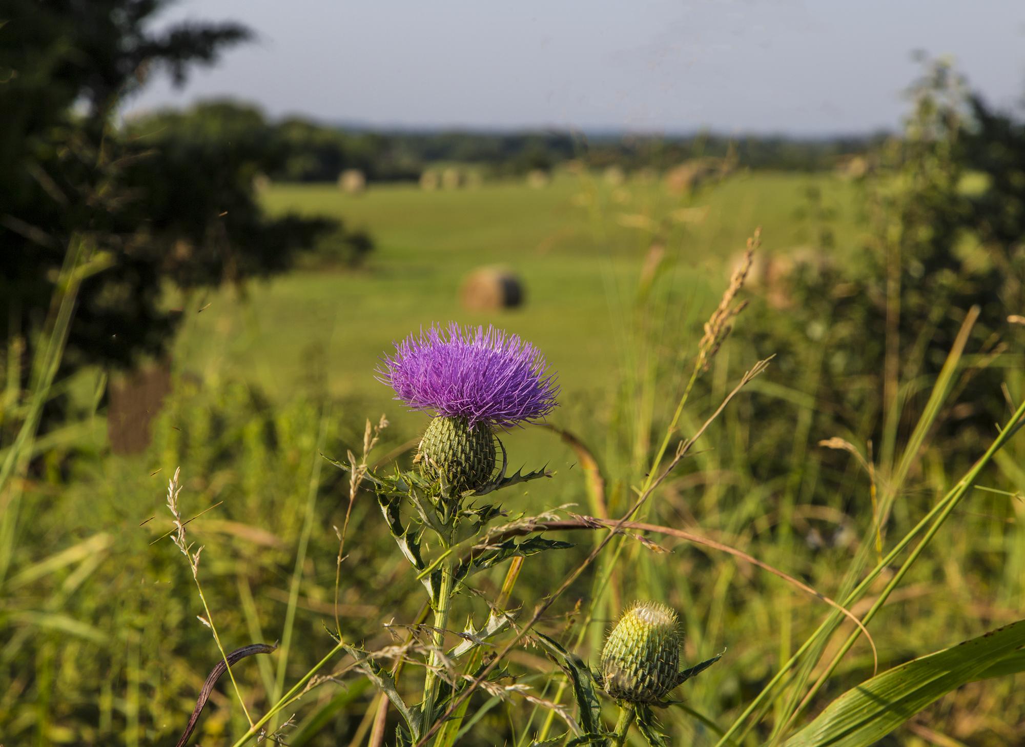
Lone Thistle Flower
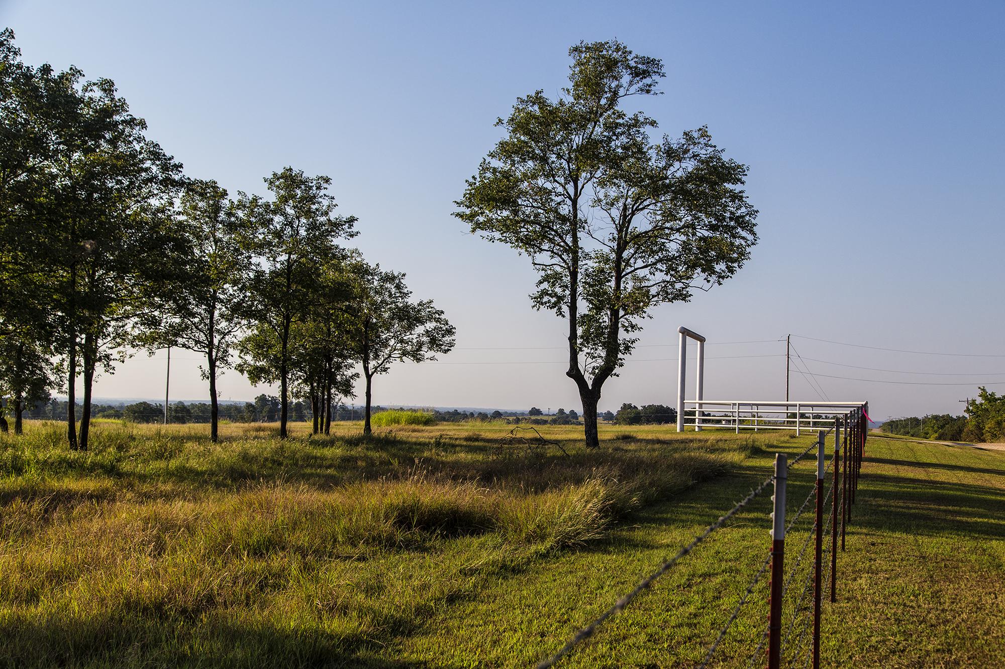
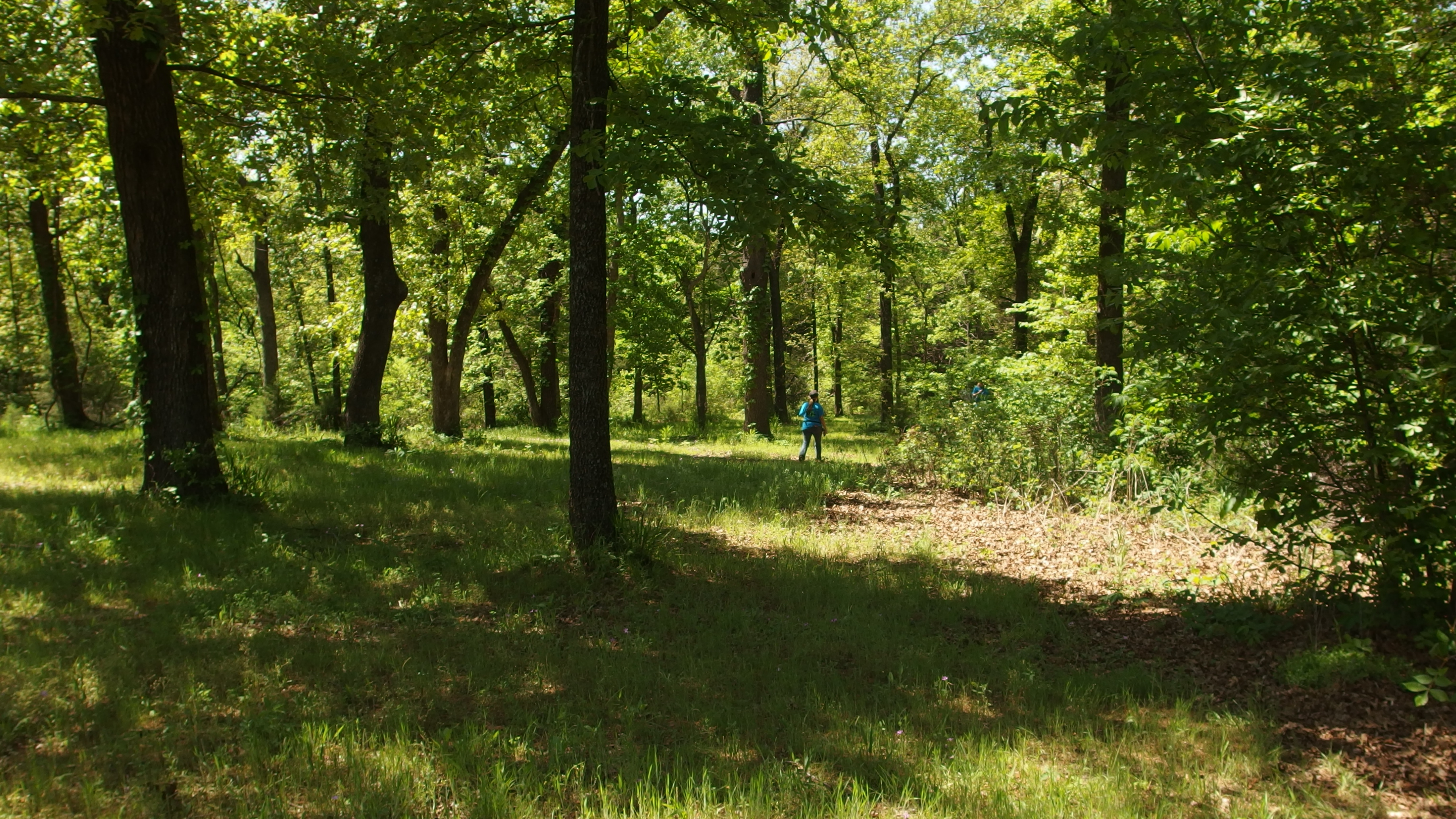
Tall Trees
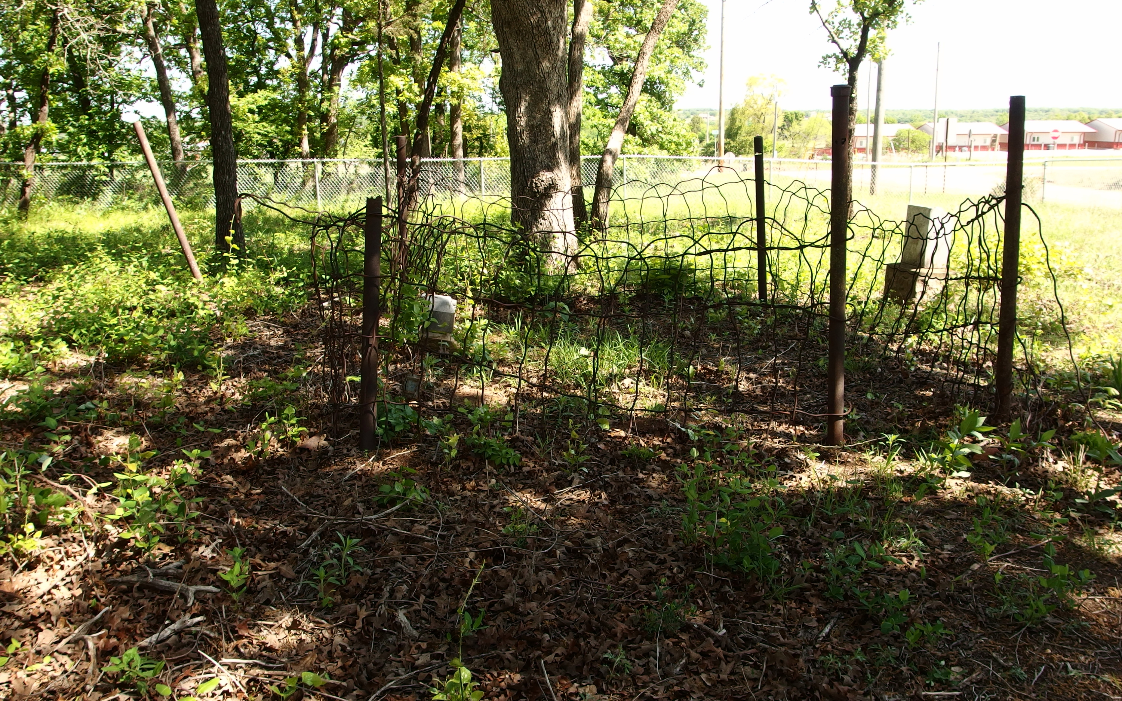
McCorkle Cemetery (07)

McCorkle Cemetery (04)
Topographic Map of Davenport, OK, USA
Find elevation by address:

Places in Davenport, OK, USA:
Places near Davenport, OK, USA:
Broadway Ave, Prague, OK, USA
Lincoln County
Chandler
Stroud
204 W 8th St
S 1st St, Agra, OK, USA
341000 Ok-66
101915 S 3470 Rd
Stroud Lake
Agra
Prague
National Shrine Of The Infant Jesus Of Prague
Warwick
Meeker
S th W Ave, Depew, OK, USA
Tryon
2 Central Ave, Carney, OK, USA
342586 E 750 Rd
Carney
South Harrison Avenue
Recent Searches:
- Elevation of Corso Fratelli Cairoli, 35, Macerata MC, Italy
- Elevation of Tallevast Rd, Sarasota, FL, USA
- Elevation of 4th St E, Sonoma, CA, USA
- Elevation of Black Hollow Rd, Pennsdale, PA, USA
- Elevation of Oakland Ave, Williamsport, PA, USA
- Elevation of Pedrógão Grande, Portugal
- Elevation of Klee Dr, Martinsburg, WV, USA
- Elevation of Via Roma, Pieranica CR, Italy
- Elevation of Tavkvetili Mountain, Georgia
- Elevation of Hartfords Bluff Cir, Mt Pleasant, SC, USA