Elevation of Diamond Township, AR, USA
Location: United States > Arkansas > Sebastian County >
Longitude: -94.264103
Latitude: 35.085141
Elevation: 177m / 581feet
Barometric Pressure: 0KPa
Related Photos:
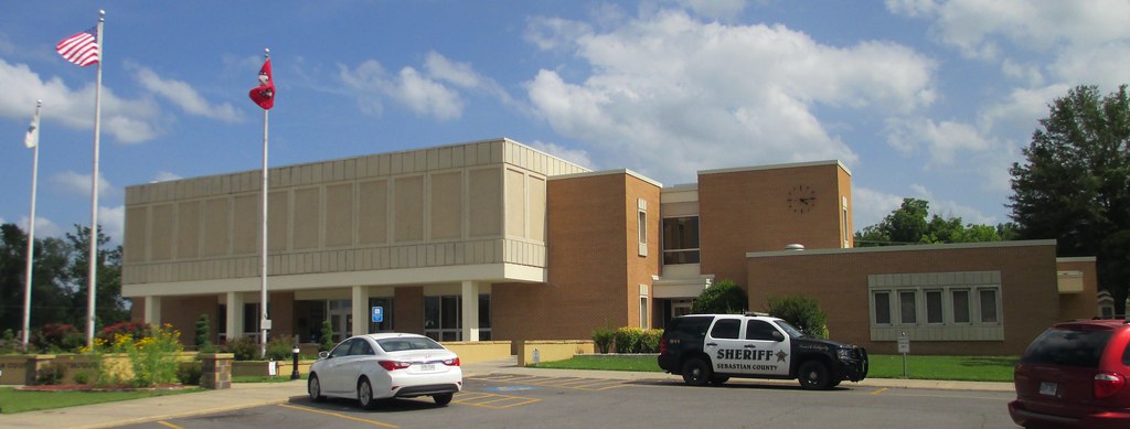
Sebastian County Courthouse (Greenwood, Arkansas)

Overnight rain
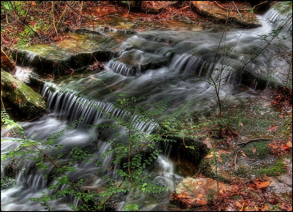
Kenny's Creek

Action at the bottom of the falls

Falls at Sugar Loaf Lake
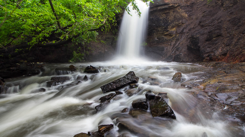
The falls at Sugar Loaf Lake

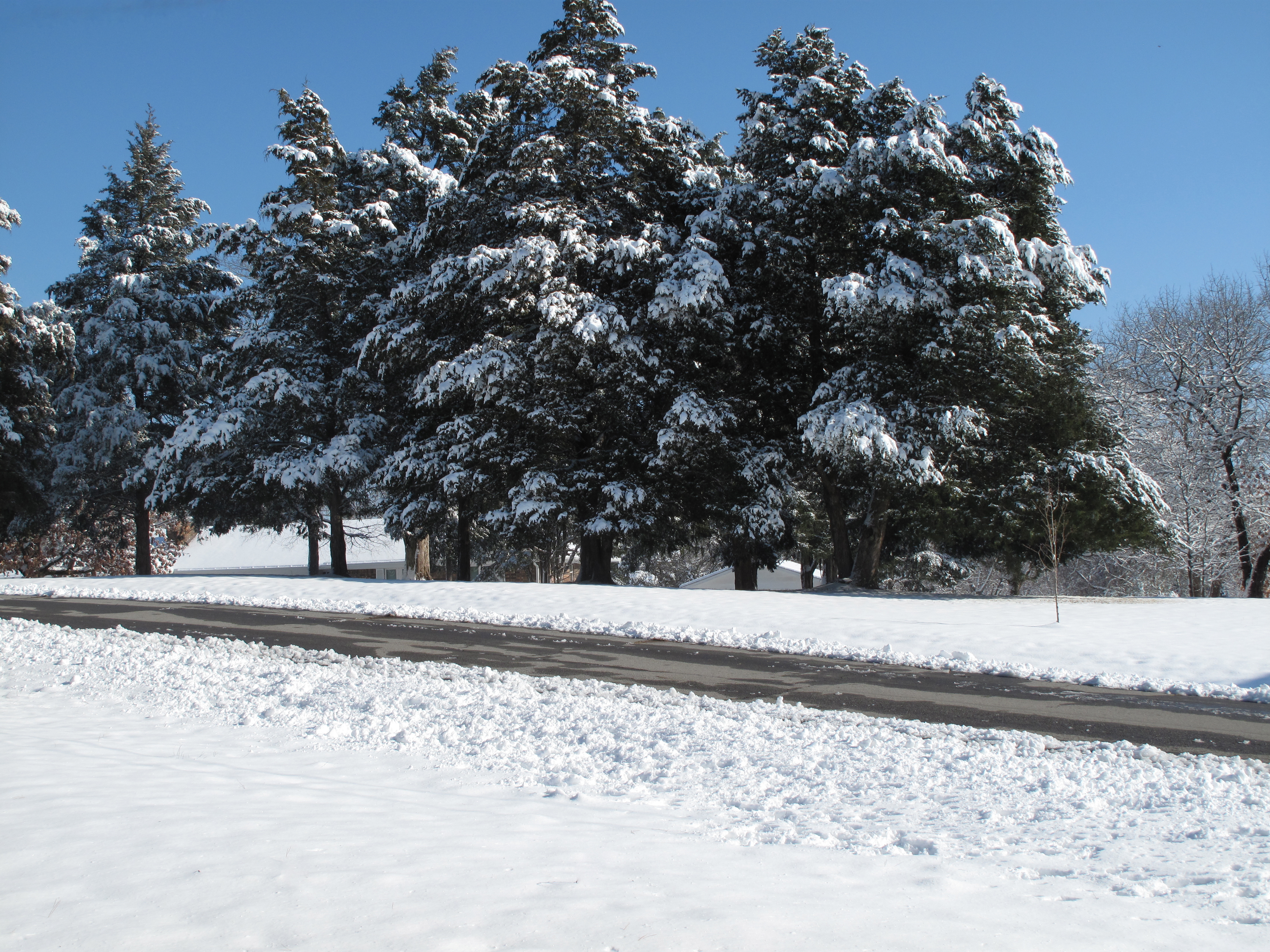
Snow Land

Cotton Candy Sky
Across the Road

Snow Land 2
Topographic Map of Diamond Township, AR, USA
Find elevation by address:

Places in Diamond Township, AR, USA:
Places near Diamond Township, AR, USA:
Huntington
Mansfield
Old Arko Rd, Huntington, AR, USA
Prairie Township
Co Rd 39, Huntington, AR, USA
East Clarks Chapel Road
Jefferson Ave, Midland, AR, USA
Midland
Jim Fork Township
Hartford Township
Hartford
Mississippi Township
W Hartford Rd, Hartford, AR, USA
5525 Slaytonville Rd
Slaytonville
Oliver Township
18223 Maple Rd
Boyd St, Howe, OK, USA
Blansett
Blansett Township
Recent Searches:
- Elevation of 116, Beartown Road, Underhill, Chittenden County, Vermont, 05489, USA
- Elevation of Window Rock, Colfax County, New Mexico, 87714, USA
- Elevation of 4807, Rosecroft Street, Kempsville Gardens, Virginia Beach, Virginia, 23464, USA
- Elevation map of Matawinie, Quebec, Canada
- Elevation of Sainte-Émélie-de-l'Énergie, Matawinie, Quebec, Canada
- Elevation of Rue du Pont, Sainte-Émélie-de-l'Énergie, Matawinie, Quebec, J0K2K0, Canada
- Elevation of 8, Rue de Bécancour, Blainville, Thérèse-De Blainville, Quebec, J7B1N2, Canada
- Elevation of Wilmot Court North, 163, University Avenue West, Northdale, Waterloo, Region of Waterloo, Ontario, N2L6B6, Canada
- Elevation map of Panamá Province, Panama
- Elevation of Balboa, Panamá Province, Panama
- Elevation of San Miguel, Balboa, Panamá Province, Panama
- Elevation of Isla Gibraleón, San Miguel, Balboa, Panamá Province, Panama
- Elevation of 4655, Krischke Road, Schulenburg, Fayette County, Texas, 78956, USA
- Elevation of Carnegie Avenue, Downtown Cleveland, Cleveland, Cuyahoga County, Ohio, 44115, USA
- Elevation of Walhonding, Coshocton County, Ohio, USA
- Elevation of Clifton Down, Clifton, Bristol, City of Bristol, England, BS8 3HU, United Kingdom
- Elevation map of Auvergne-Rhône-Alpes, France
- Elevation map of Upper Savoy, Auvergne-Rhône-Alpes, France
- Elevation of Chamonix-Mont-Blanc, Upper Savoy, Auvergne-Rhône-Alpes, France
- Elevation of 908, Northwood Drive, Bridge Field, Chesapeake, Virginia, 23322, USA