Elevation of Hartford Township, AR, USA
Location: United States > Arkansas > Sebastian County >
Longitude: -94.377070
Latitude: 35.0261752
Elevation: 200m / 656feet
Barometric Pressure: 99KPa
Elevation Map:
Satellite Map:
Related Photos:
More Mountain

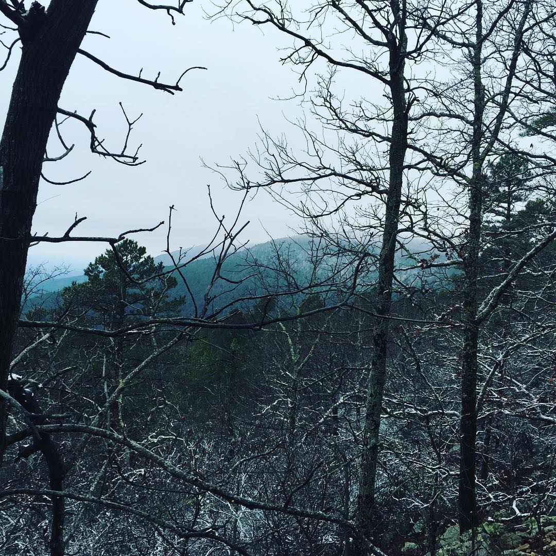
Sunrise with snow

Just a totally fun afternoon

The falls at Sugar Loaf Lake
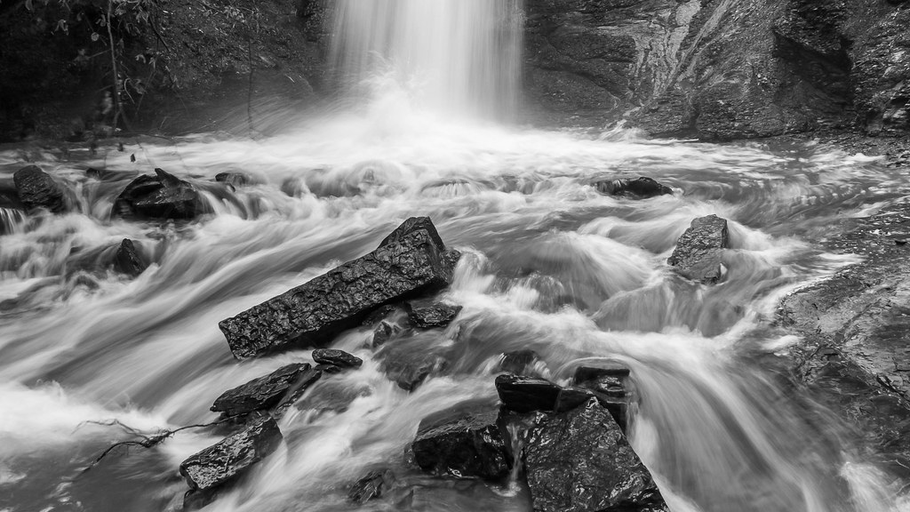
Action at the bottom of the falls

Falls at Sugar Loaf Lake
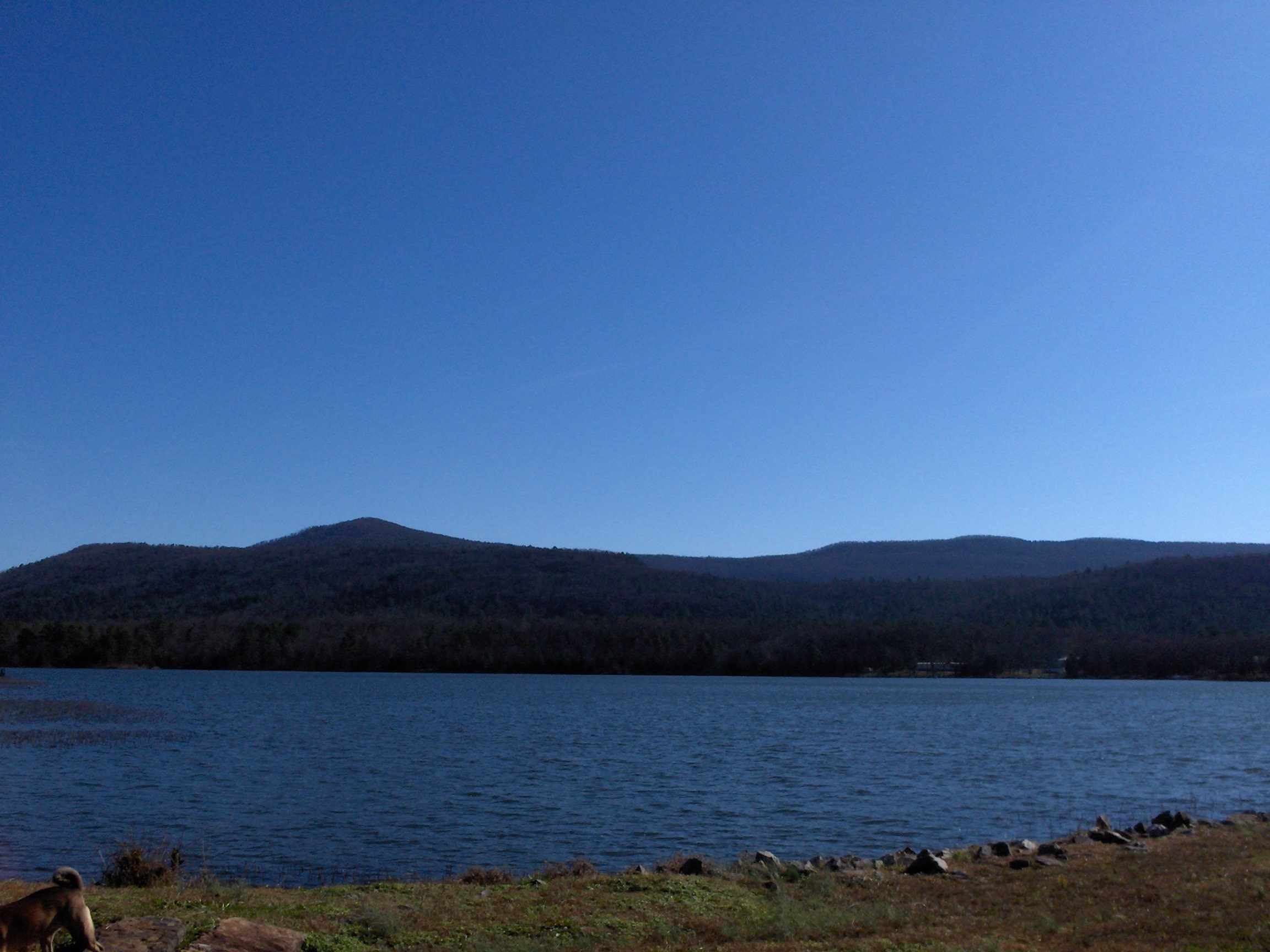
Ouachita Mountains
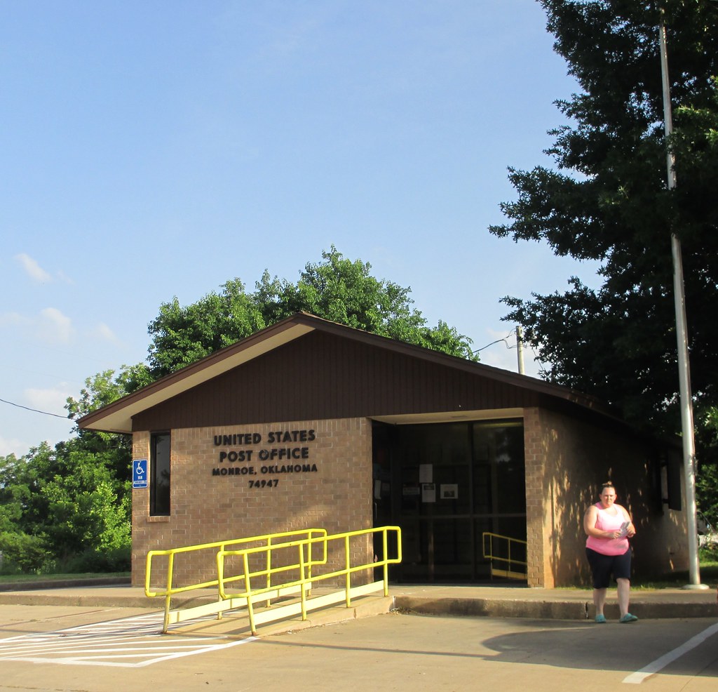
Post Office 74947 (Monroe, Oklahoma)
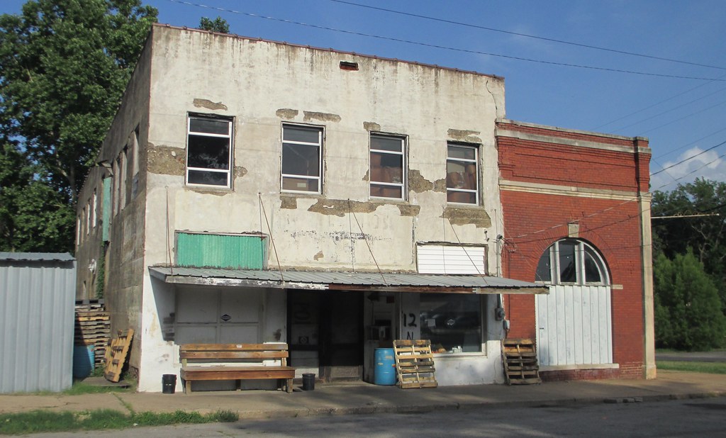
Old Storefront Block (Hartford, Arkansas)
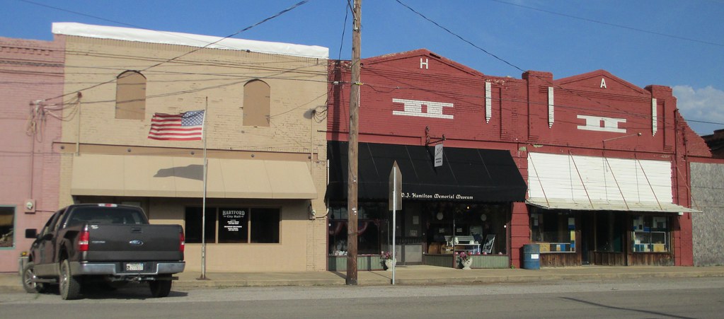
Hartford, Arkansas City Hall
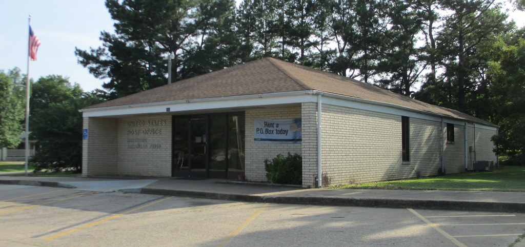
Post Office 72938 (Hartford, Arkansas)
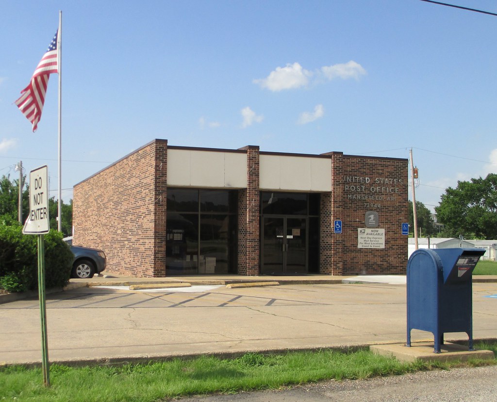
Post Office 72944 (Mansfield, Arkansas)
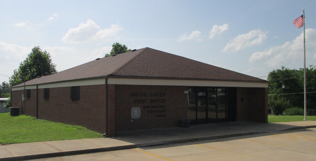
Post Office 72940 (Huntington, Arkansas)

Old Winters family photo found

Swinging Dangerously

Bellamy Package Liquor Store
Topographic Map of Hartford Township, AR, USA
Find elevation by address:

Places in Hartford Township, AR, USA:
Places near Hartford Township, AR, USA:
Hartford
W Hartford Rd, Hartford, AR, USA
Midland
Jefferson Ave, Midland, AR, USA
Old Arko Rd, Huntington, AR, USA
Mississippi Township
Slaytonville
Jim Fork Township
5525 Slaytonville Rd
Huntington
Diamond Township
Mansfield
Prairie Township
Boyd St, Howe, OK, USA
Co Rd 39, Huntington, AR, USA
18223 Maple Rd
East Clarks Chapel Road
Oliver Township
Ford Place
Poteau
Recent Searches:
- Elevation of Corso Fratelli Cairoli, 35, Macerata MC, Italy
- Elevation of Tallevast Rd, Sarasota, FL, USA
- Elevation of 4th St E, Sonoma, CA, USA
- Elevation of Black Hollow Rd, Pennsdale, PA, USA
- Elevation of Oakland Ave, Williamsport, PA, USA
- Elevation of Pedrógão Grande, Portugal
- Elevation of Klee Dr, Martinsburg, WV, USA
- Elevation of Via Roma, Pieranica CR, Italy
- Elevation of Tavkvetili Mountain, Georgia
- Elevation of Hartfords Bluff Cir, Mt Pleasant, SC, USA