Elevation of Prairie Township, AR, USA
Location: United States > Arkansas > Sebastian County >
Longitude: -94.2846246
Latitude: 35.1283568
Elevation: 184m / 604feet
Barometric Pressure: 0KPa
Related Photos:
Jesus sacrificed himself to himself to save the world from … himself?
View From the Balcony at My Soon to be New Home
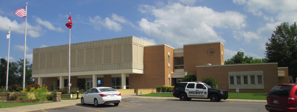
Sebastian County Courthouse (Greenwood, Arkansas)
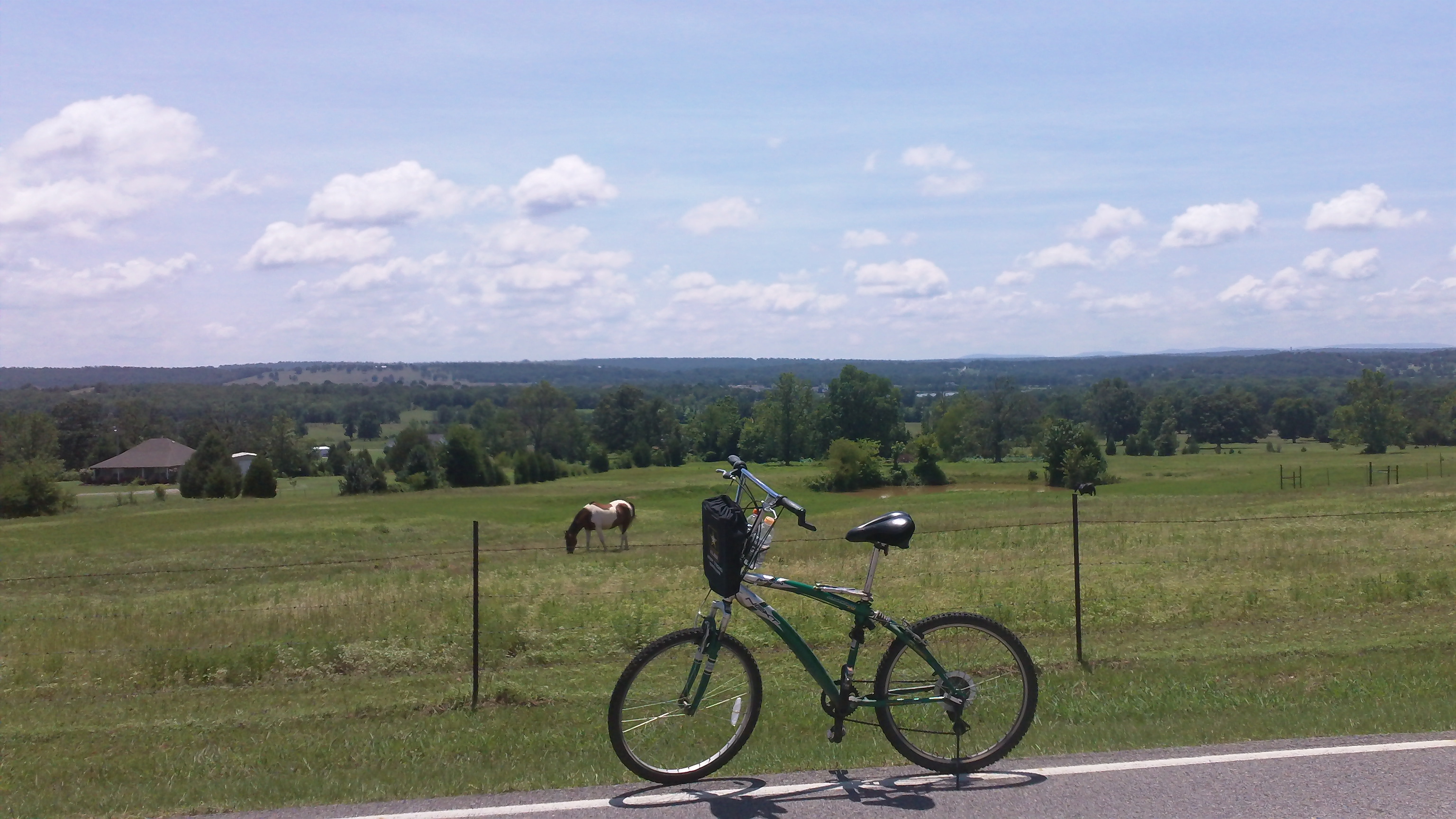
cycling with horses
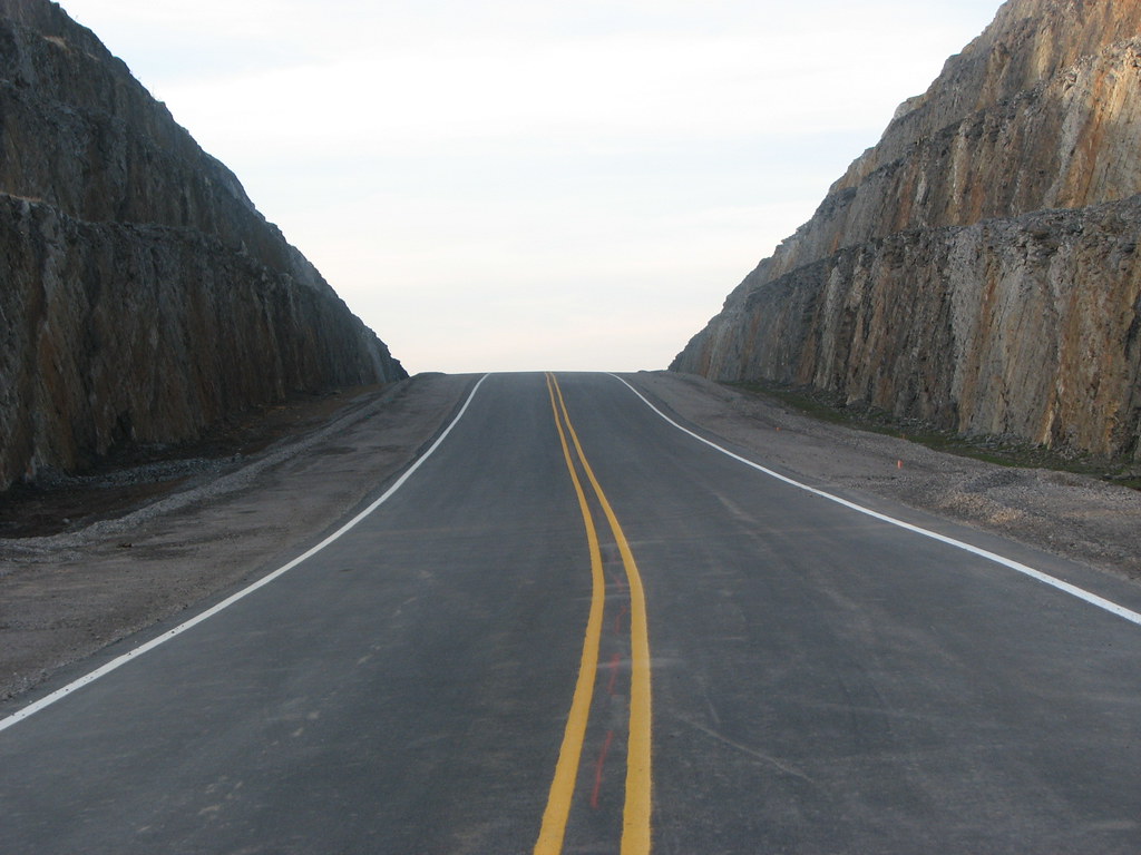
New 45 Northbound

{tagged in a new way} Part of me becoming a better person is letting go of my black and white world view and embracing shades of grey
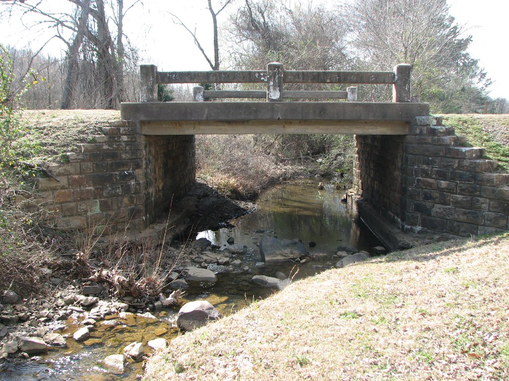
Bear Creek-Side View

Overnight rain
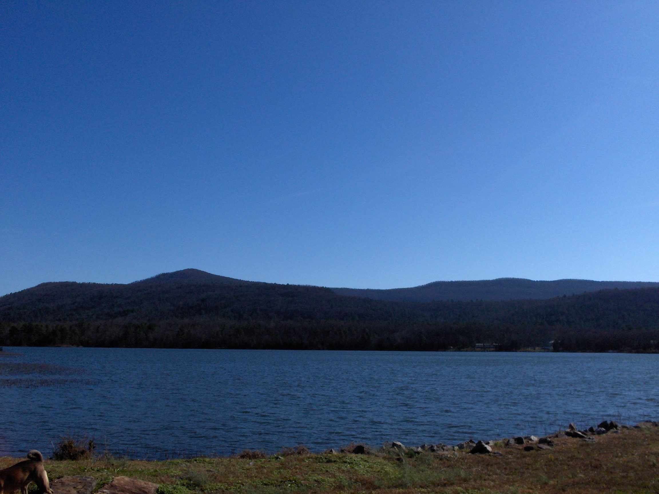
More Mountain
Kenny's Creek

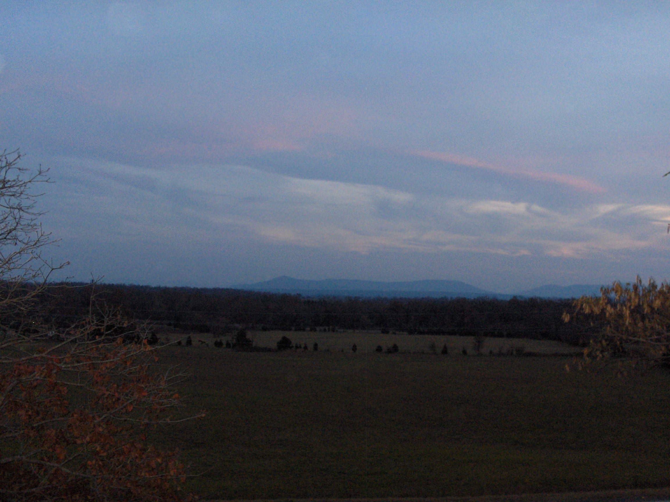
Cotton Candy Sky
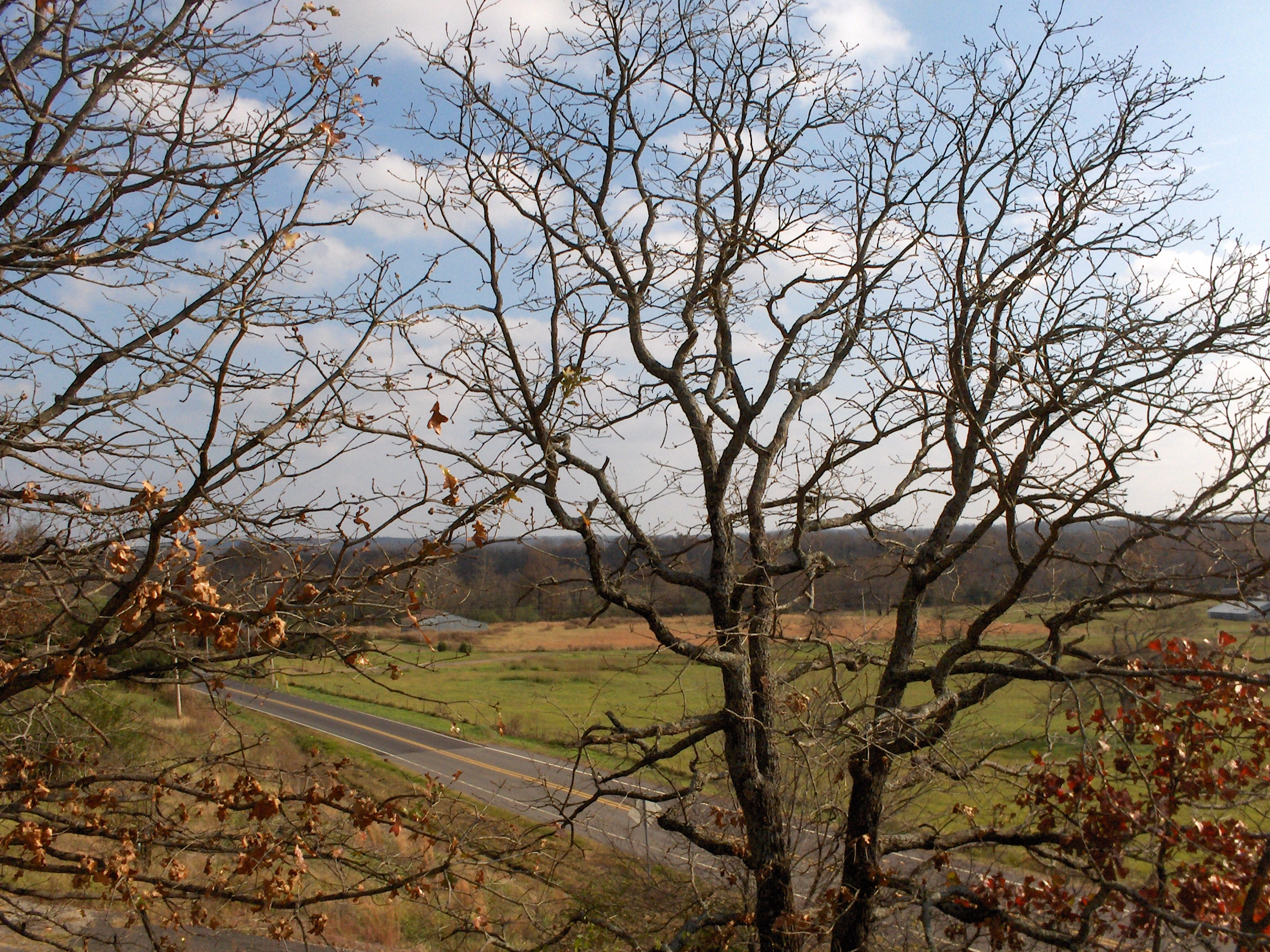
Across the Road
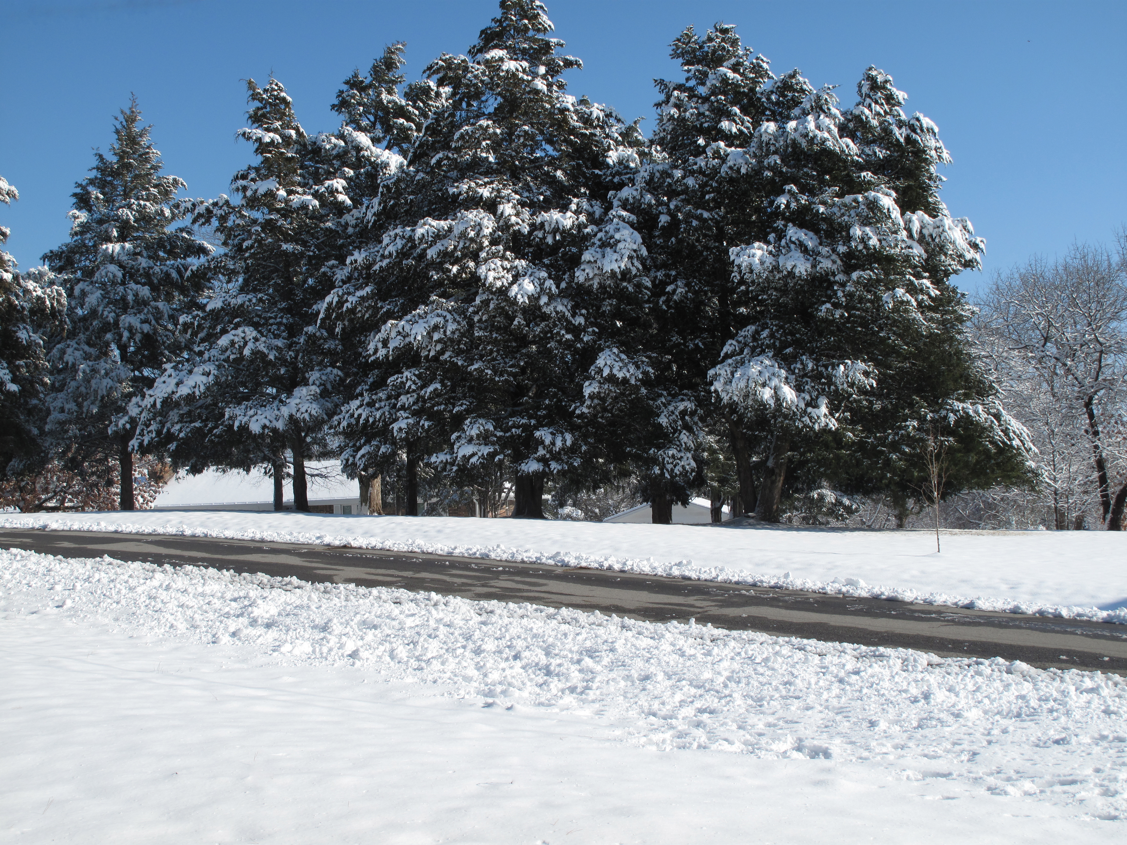
Snow Land
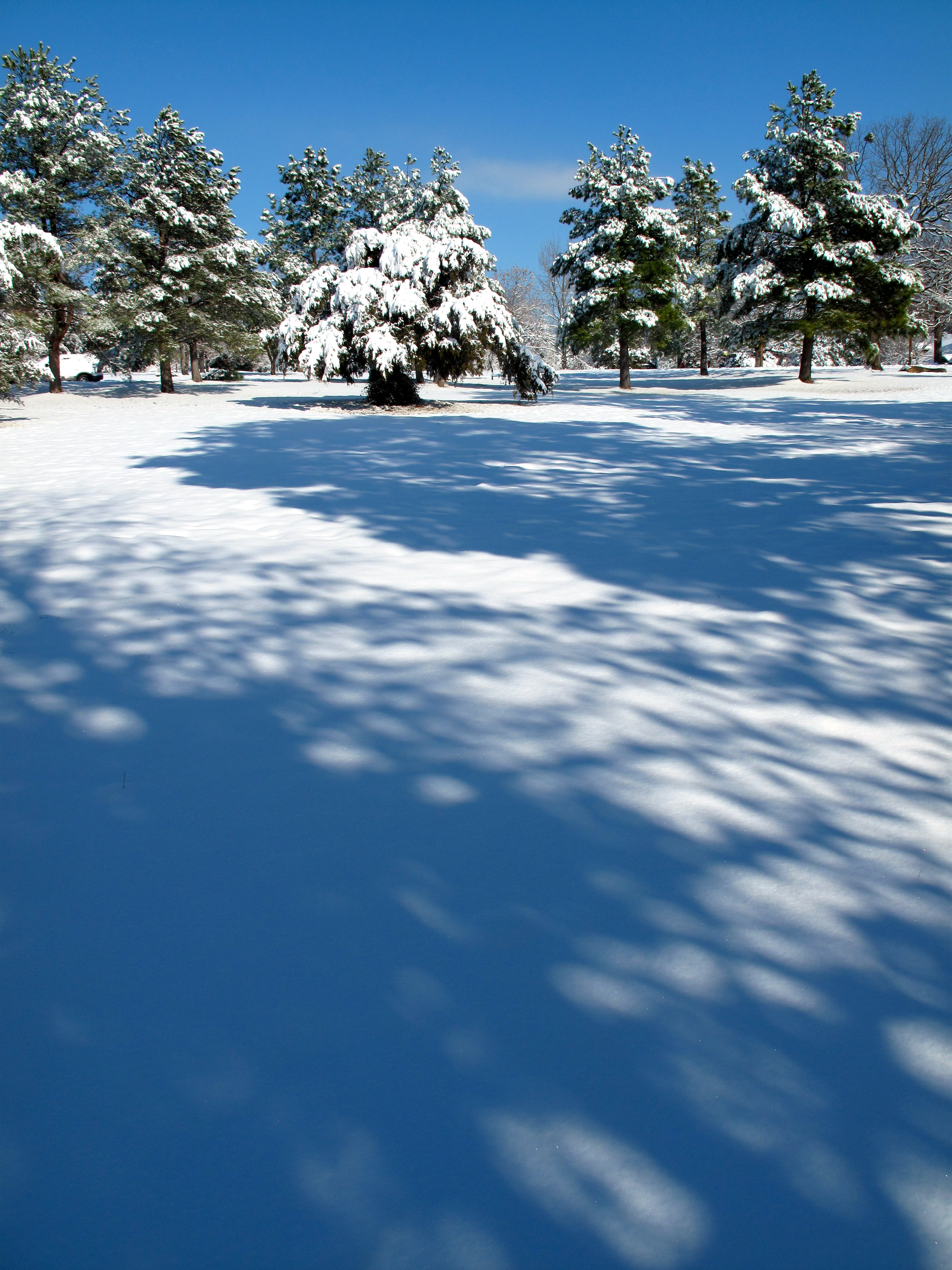
Snow Land 2
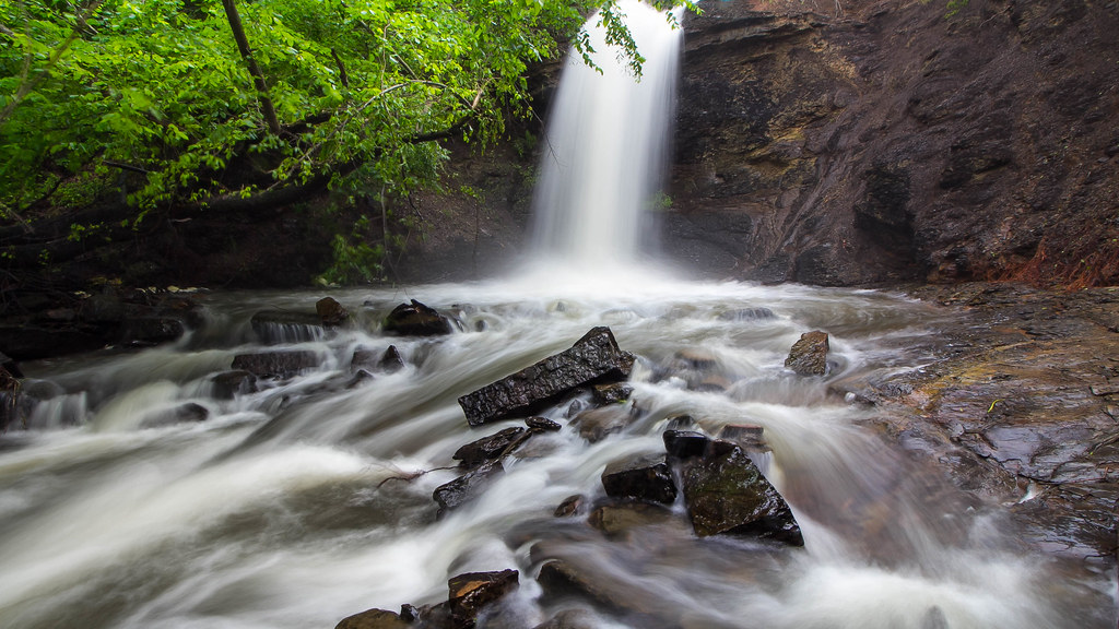
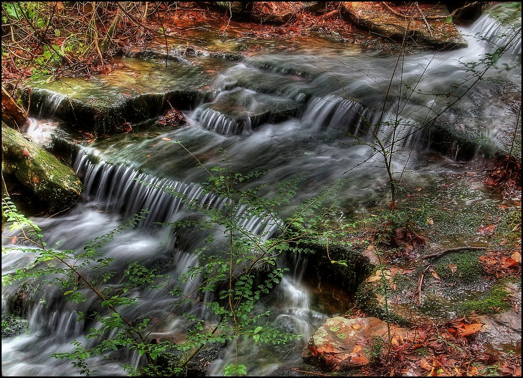
The falls at Sugar Loaf Lake
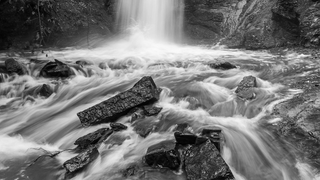
Action at the bottom of the falls

Falls at Sugar Loaf Lake
Topographic Map of Prairie Township, AR, USA
Find elevation by address:

Places in Prairie Township, AR, USA:
Places near Prairie Township, AR, USA:
Co Rd 39, Huntington, AR, USA
Diamond Township
Old Arko Rd, Huntington, AR, USA
Huntington
East Clarks Chapel Road
Jim Fork Township
Mansfield
Jefferson Ave, Midland, AR, USA
Midland
Mississippi Township
Hartford Township
Hartford
5525 Slaytonville Rd
Slaytonville
W Hartford Rd, Hartford, AR, USA
Oliver Township
18223 Maple Rd
Boyd St, Howe, OK, USA
Ford Place
Vaughn Lane
Recent Searches:
- Elevation of 4655, Krischke Road, Schulenburg, Fayette County, Texas, 78956, USA
- Elevation of Carnegie Avenue, Downtown Cleveland, Cleveland, Cuyahoga County, Ohio, 44115, USA
- Elevation of Walhonding, Coshocton County, Ohio, USA
- Elevation of Clifton Down, Clifton, Bristol, City of Bristol, England, BS8 3HU, United Kingdom
- Elevation map of Auvergne-Rhône-Alpes, France
- Elevation map of Upper Savoy, Auvergne-Rhône-Alpes, France
- Elevation of Chamonix-Mont-Blanc, Upper Savoy, Auvergne-Rhône-Alpes, France
- Elevation of 908, Northwood Drive, Bridge Field, Chesapeake, Virginia, 23322, USA
- Elevation map of Nagano Prefecture, Japan
- Elevation of 587, Bascule Drive, Oakdale, Stanislaus County, California, 95361, USA
- Elevation of Stadion Wankdorf, Sempachstrasse, Breitfeld, Bern, Bern-Mittelland administrative district, Bern, 3014, Switzerland
- Elevation of Z024, 76, Emil-von-Behring-Straße, Marbach, Marburg, Landkreis Marburg-Biedenkopf, Hesse, 35041, Germany
- Elevation of Gaskill Road, Hunts Cross, Liverpool, England, L24 9PH, United Kingdom
- Elevation of Speke, Liverpool, England, L24 9HD, United Kingdom
- Elevation of Seqirus, 475, Green Oaks Parkway, Holly Springs, Wake County, North Carolina, 27540, USA
- Elevation of Pasing, Munich, Bavaria, 81241, Germany
- Elevation of 24, Auburn Bay Crescent SE, Auburn Bay, Calgary, Alberta, T3M 0A6, Canada
- Elevation of Denver, 2314, Arapahoe Street, Five Points, Denver, Colorado, 80205, USA
- Elevation of Community of the Beatitudes, 2924, West 43rd Avenue, Sunnyside, Denver, Colorado, 80211, USA
- Elevation map of Litang County, Sichuan, China