Elevation of Chihuahua Valley Road, Chihuahua Valley Rd, Warner Springs, CA, USA
Location: United States > California > San Diego County > Warner Springs >
Longitude: -116.69073
Latitude: 33.384449
Elevation: 1267m / 4157feet
Barometric Pressure: 87KPa
Elevation Map:
Satellite Map:
Related Photos:
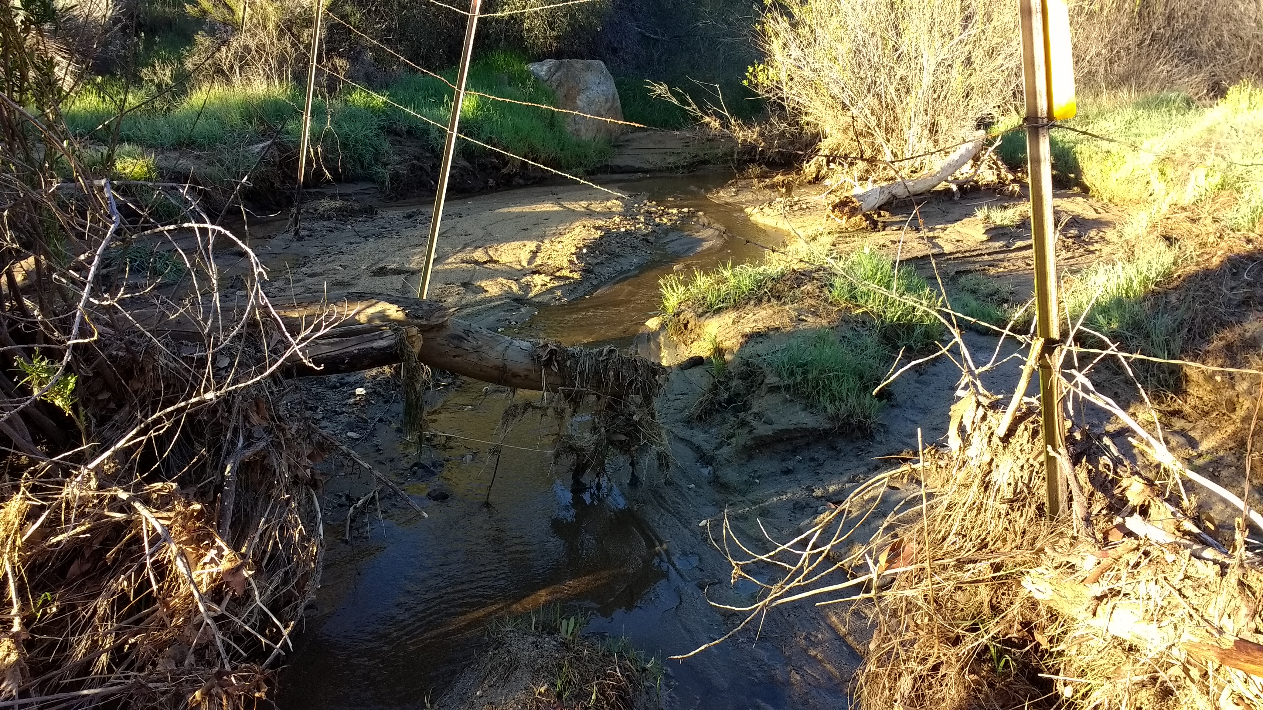
WR137 Tule Creek (early season)
Mirror image
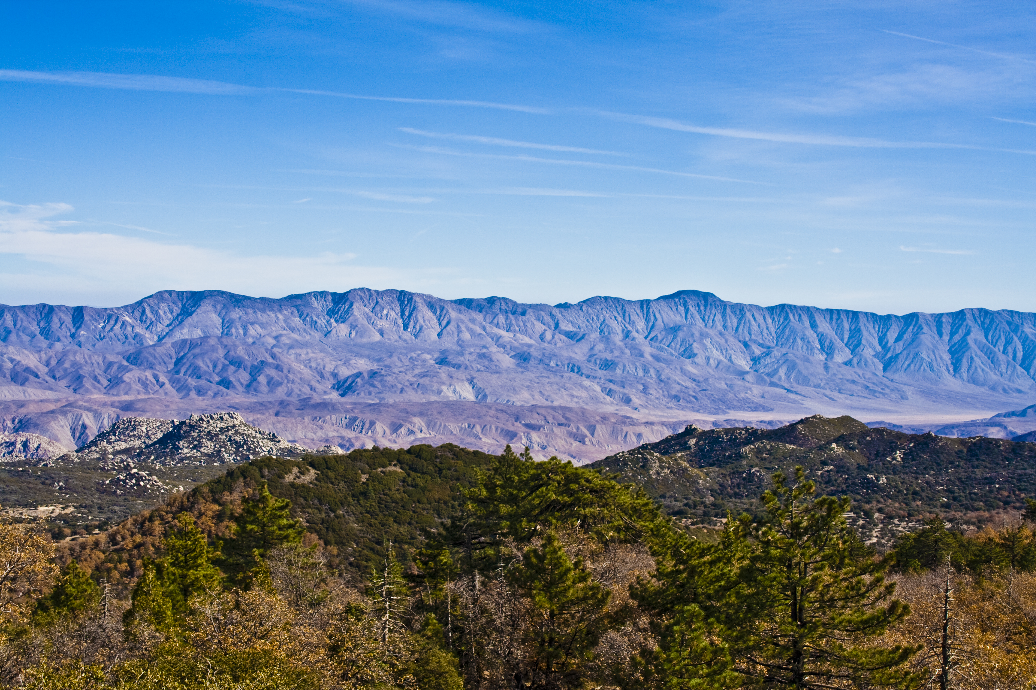
Santa Rosa Mtns from Hot Springs Mountain
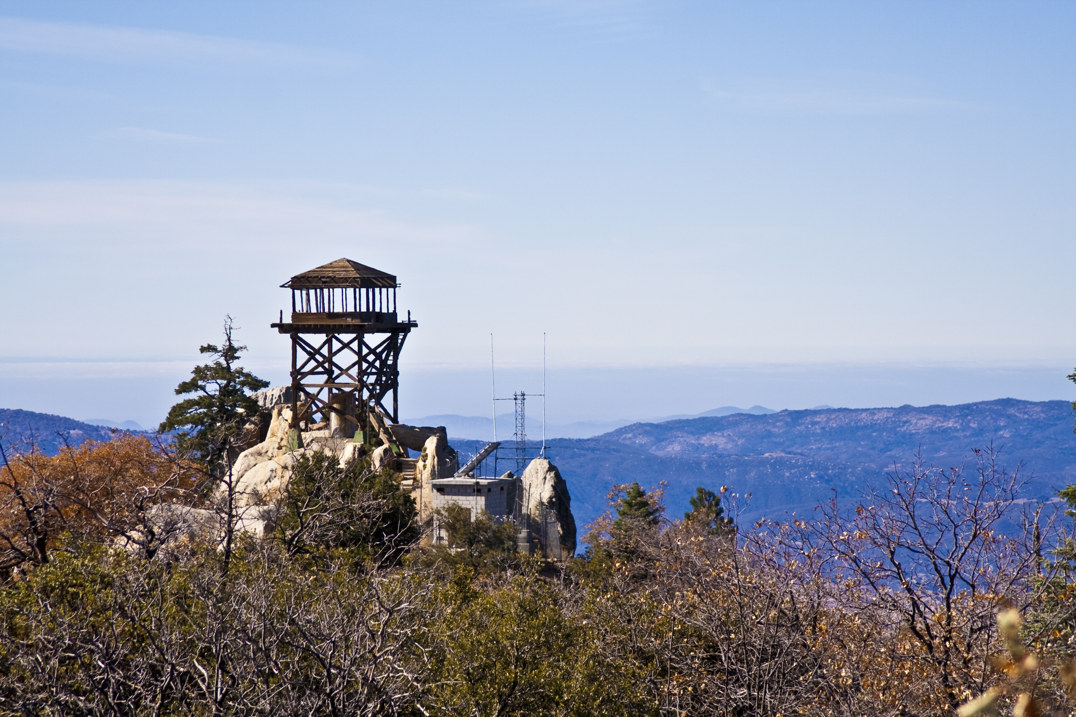
Fire Lookout Tower Hot Springs Mountain
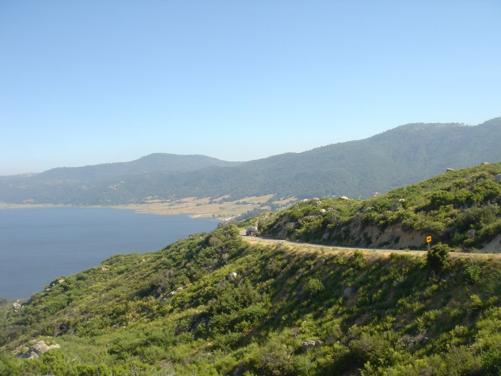
Palomar Mountain - Lake to the East

Warner Springs Ranch, Warner Springs, California

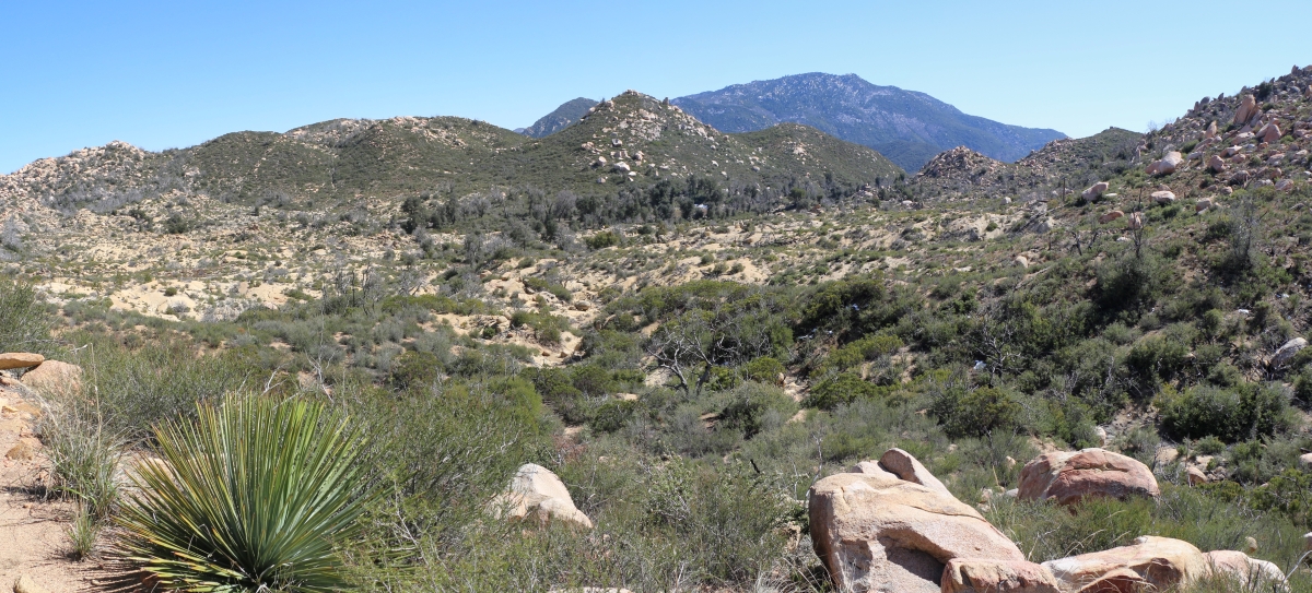
View south from Combs Peak
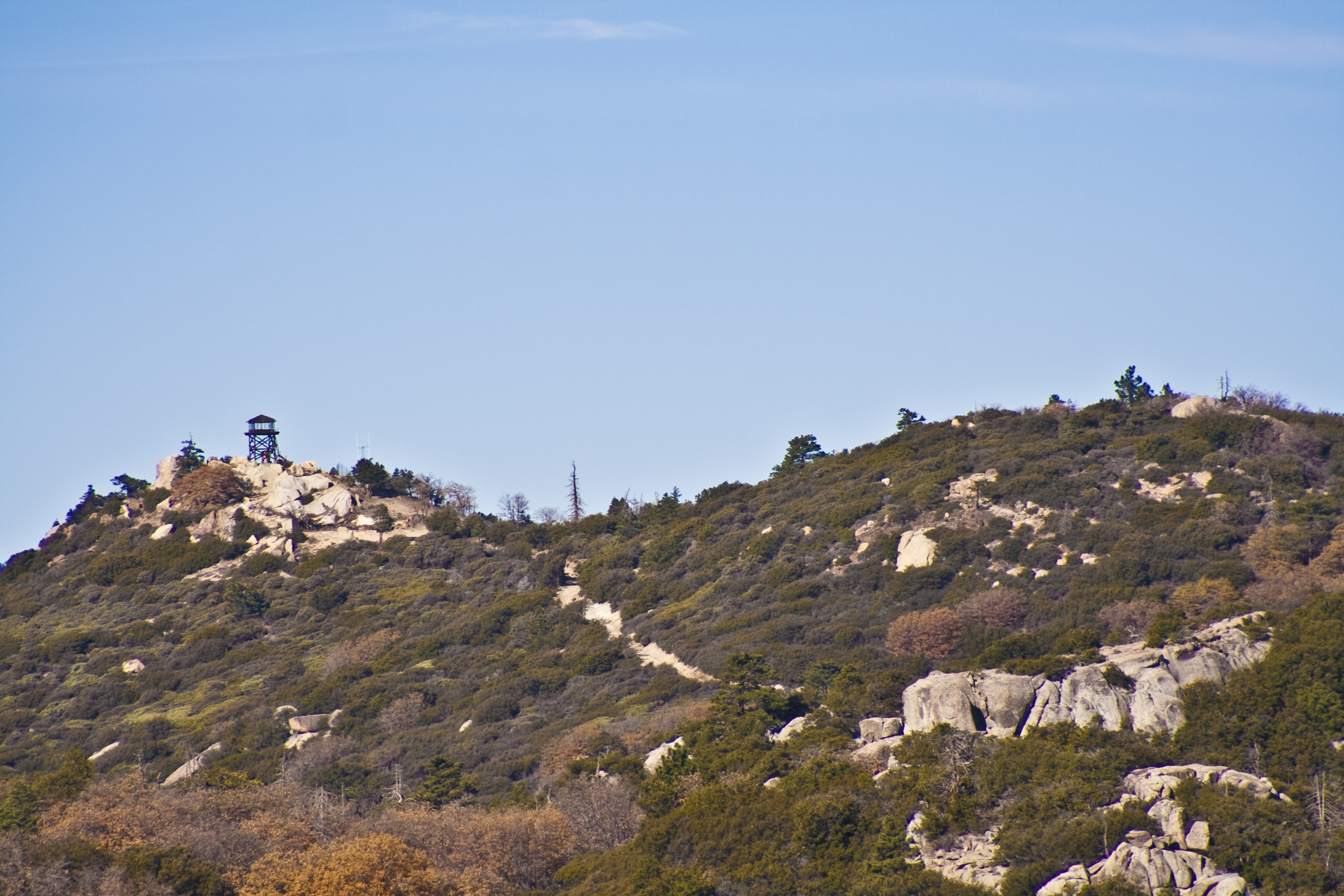
Fire Lookout Tower Hot Springs Mountain
0870 Zoomed-in view of the saddle on the PCT near Combs Peak where we spent the previous night
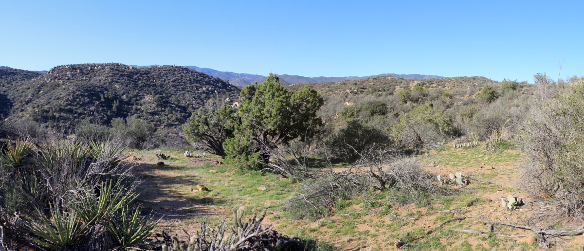
0955 Nice looking campsite with a view above WRCS140 and Nance Canyon on the PCT

0452 View north toward Combs Peak and Lost Valley Road as we head north on the PCT near mile 125
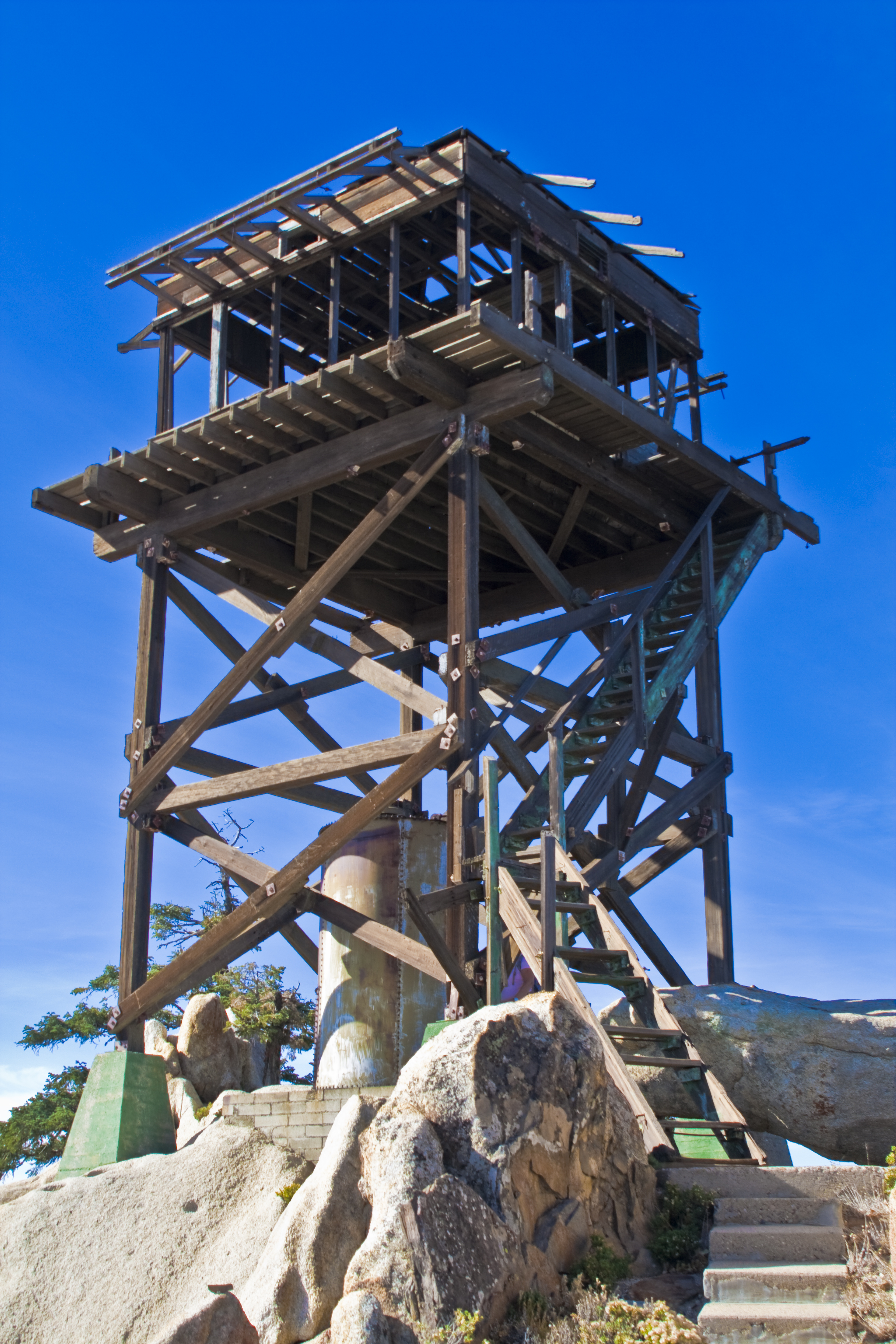
Fire Lookout Tower Hot Springs Mountain

0224 Zoomed-in view of Beauty Peak (5545 ft) from the PCT near Lost Valley Road

Mom Dozed Off While Reading --- Warner Springs Ranch, Warner Springs, California

0981 Panorama view south and west from the PCT near mile 141 in the Anza-Borrego Desert
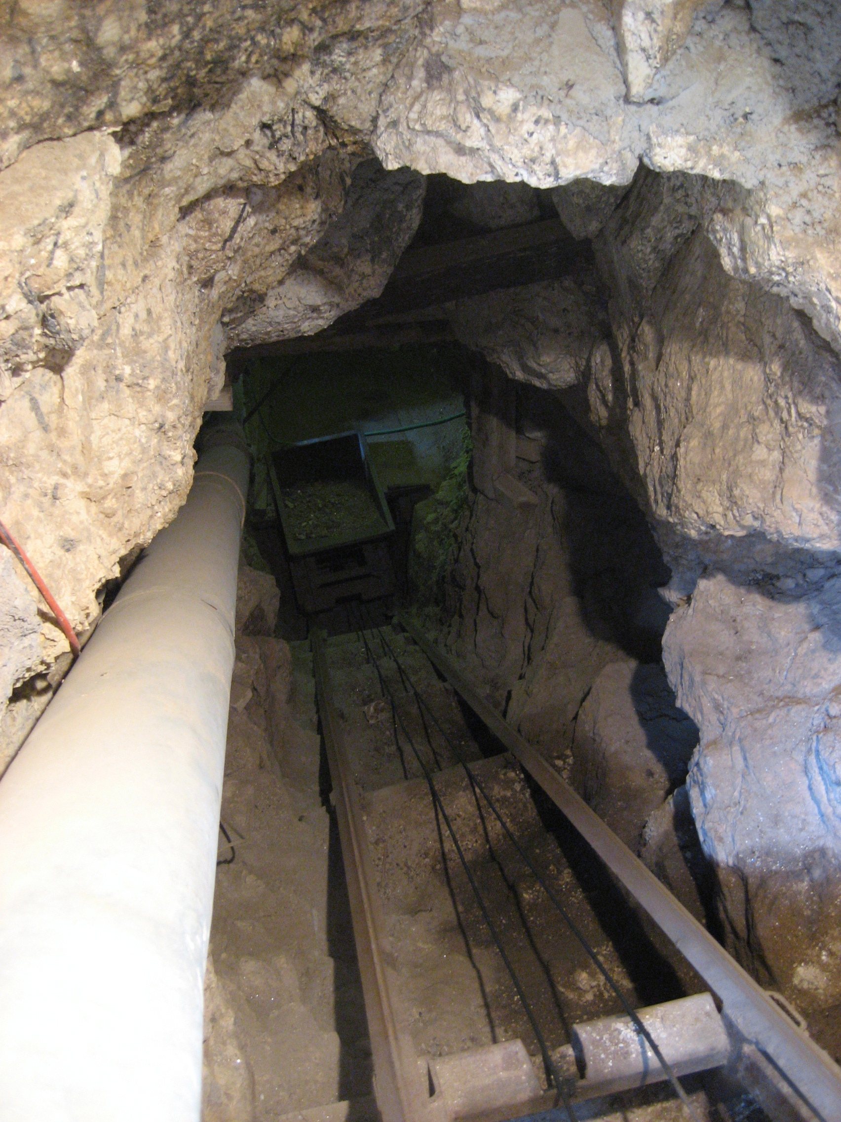
Rock Hoist

149 View to the south of Granite Mountain and the distant Laguna Mountains from Hot Springs Mountain
0441 Panorama view south toward Hot Springs Mountain form the PCT near mile 124

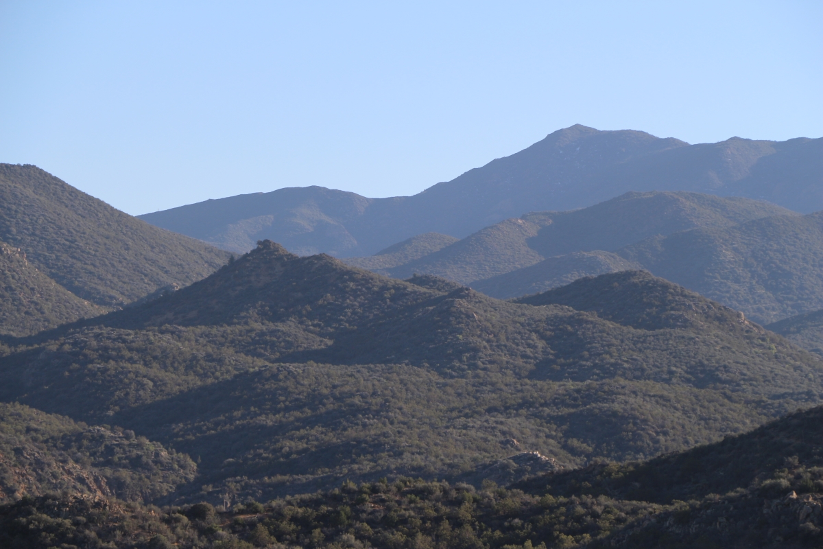
0771 Panorama view east from mile 137 on the PCT toward Toro Peak
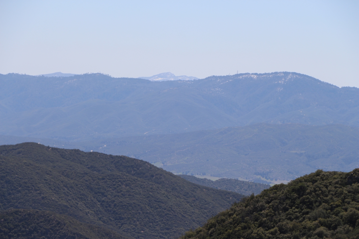
0405 Zoomed-in view of Cuyamaca Peak (6490 ft) 28 miles away, from the PCT at mile 123

215 View of the derelict Fire Tower on Hot Springs Mountain as we climb to the true summit

Milky Clouds

Los Coyotes Indian Reservation Hot Springs Mountain at Sunset

Barker Valley Spur

L7240024.NEF

Pacific Crest Trail, 2018

Pacific Crest Trail, 2018

Love Valley Barn

Pacific Crest Trail, 2018

Pacific Crest Trail, 2018

Pacific Crest Trail, 2018
Subi Camping by Lake Crenshaw

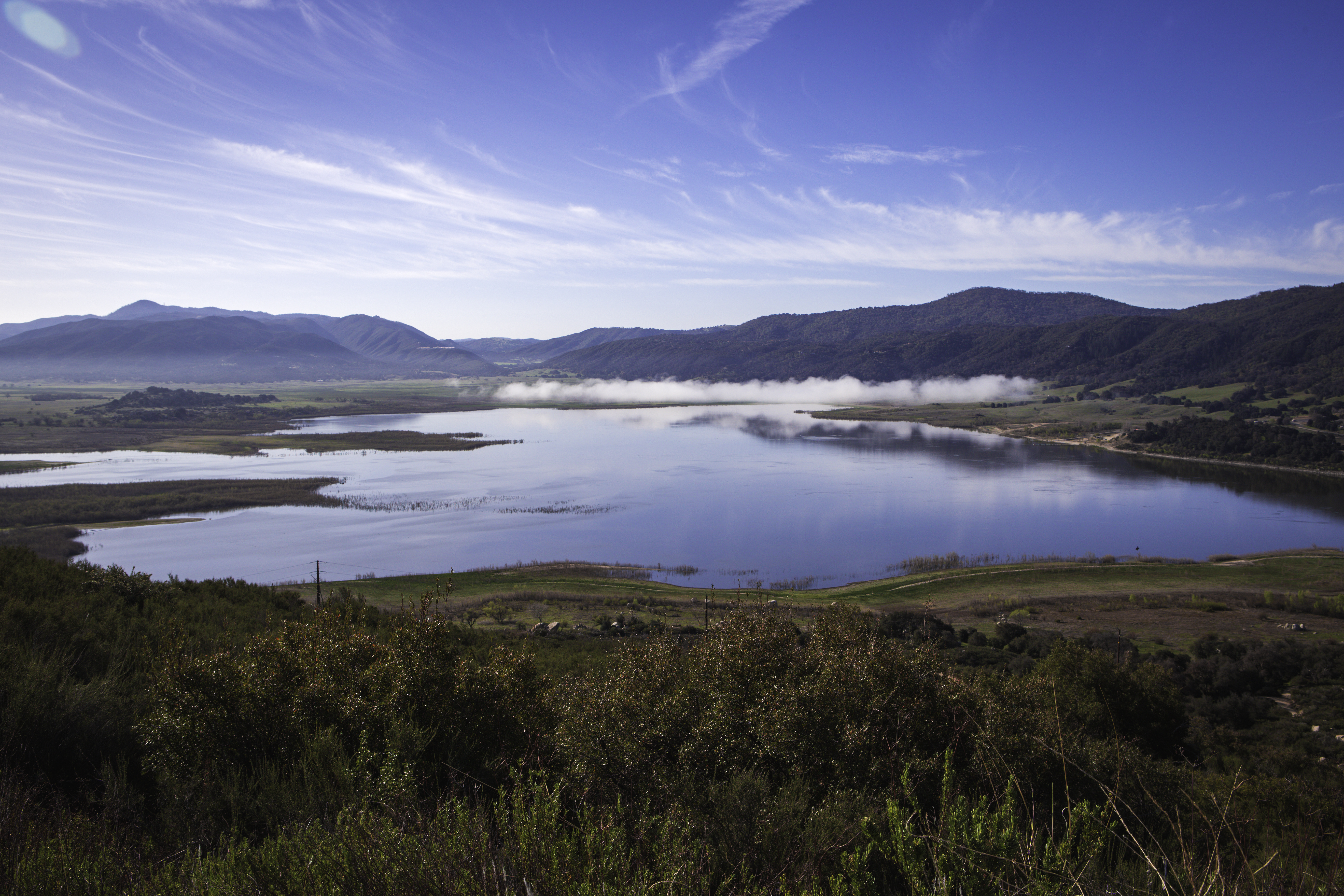
Lake Henshaw

Pacific Crest Trail, 2018
IMG_0169.JPG
IMG_0170.JPG
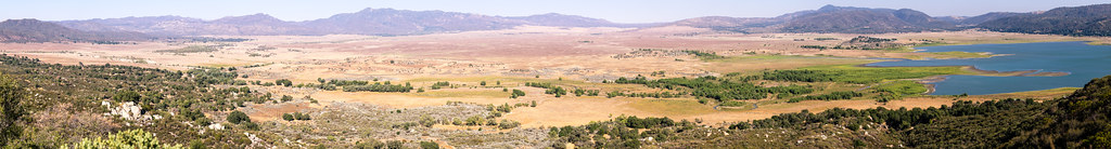
160° Sub-Gigapixel Panorama of Lake Henshaw Valley

A Cold Day's Night Begins

Pacific Crest Trail, 2018

Pct day 7
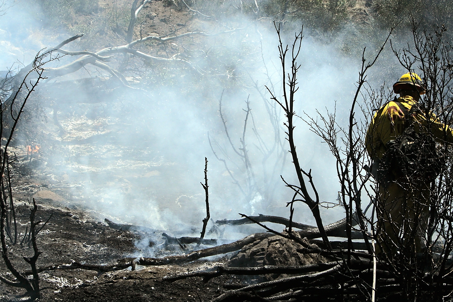
Eagle Fire 2011, Battalion 5, 14,100 acres photos by Kevin Pack CAL FIRE VIP Photographer (53)

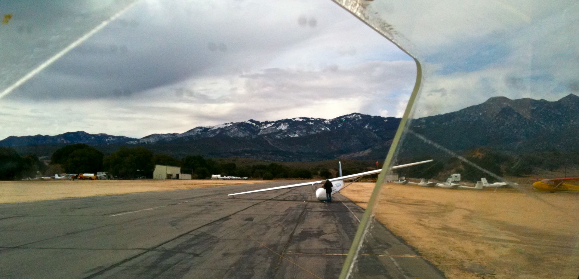
N2990H Scweizer SGS-1-26E at Warner Springs CA
Topographic Map of Chihuahua Valley Road, Chihuahua Valley Rd, Warner Springs, CA, USA
Find elevation by address:

Places near Chihuahua Valley Road, Chihuahua Valley Rd, Warner Springs, CA, USA:
29352 Chihuahua Valley Rd
29966 Chihuahua Valley Rd
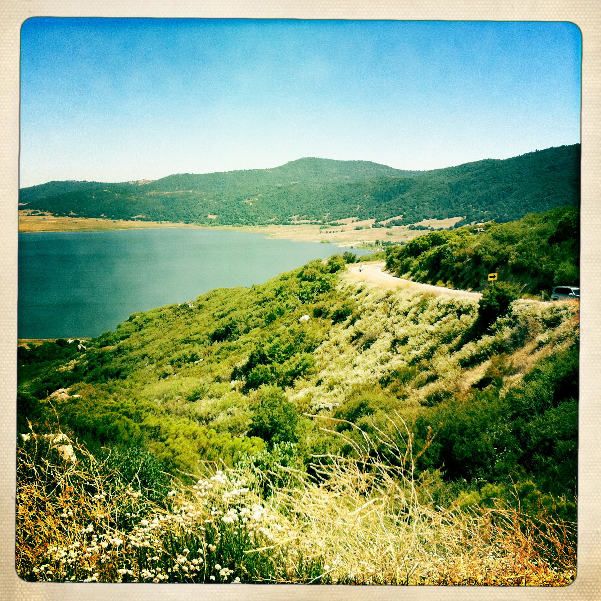
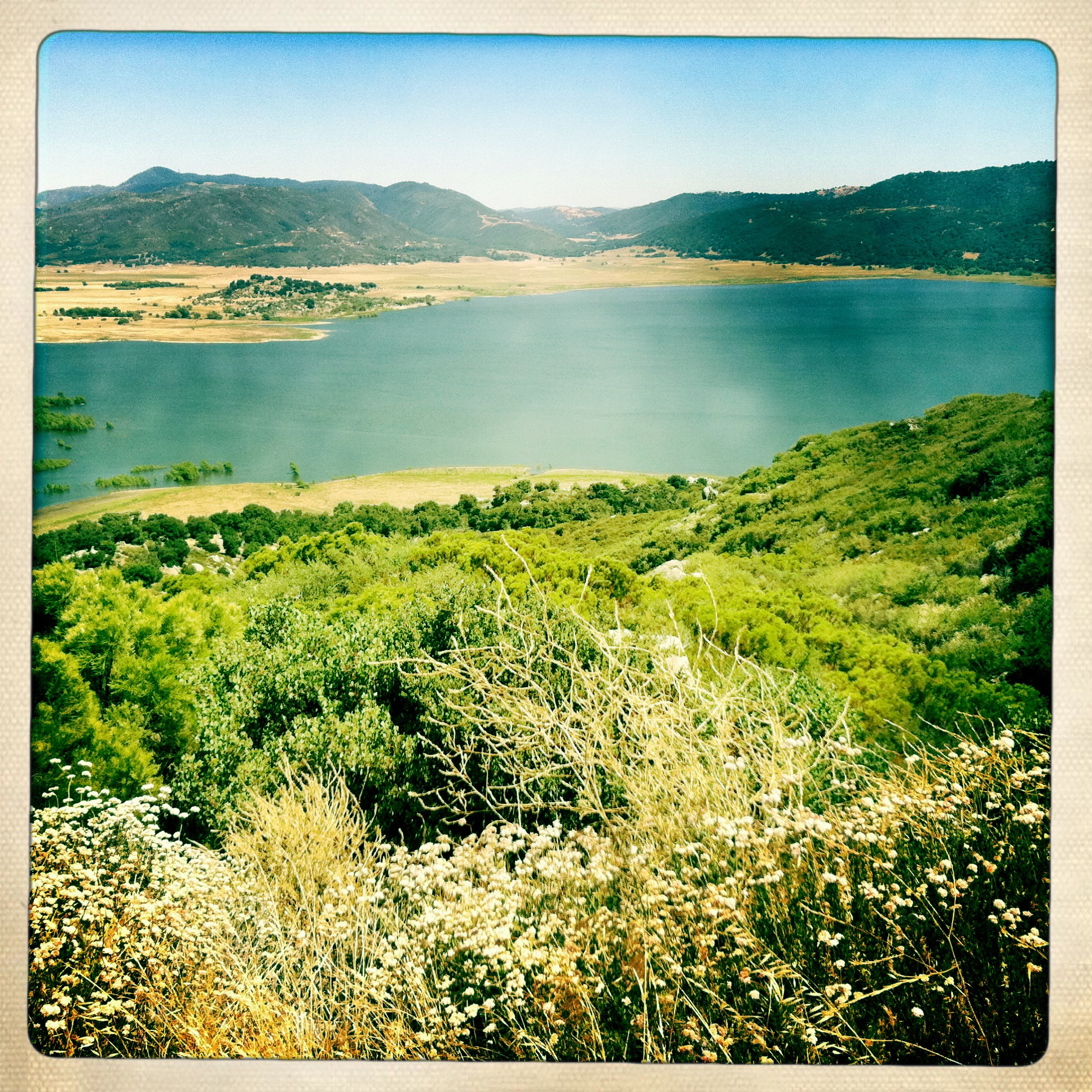
Chihuahua Valley
30303 Chihuahua Valley Rd
37762 Stamnes Rd
31234 Chihuahua Valley Rd
Warner Springs
Warner Springs Ranch Resort
32342 Camino San Ignacio
32353 Camino San Ignacio
Schoepe Scout Reservation At Lost Valley
Anza, CA, USA
Anza
37325 Bohlen Rd
San Felipe
Santa Ysabel Tribal Office
59301 Courtesy Dr
Pathfinder Ranch
CA-74, Mountain Center, CA, USA
37443 Montezuma Valley Rd
Recent Searches:
- Elevation of Corso Fratelli Cairoli, 35, Macerata MC, Italy
- Elevation of Tallevast Rd, Sarasota, FL, USA
- Elevation of 4th St E, Sonoma, CA, USA
- Elevation of Black Hollow Rd, Pennsdale, PA, USA
- Elevation of Oakland Ave, Williamsport, PA, USA
- Elevation of Pedrógão Grande, Portugal
- Elevation of Klee Dr, Martinsburg, WV, USA
- Elevation of Via Roma, Pieranica CR, Italy
- Elevation of Tavkvetili Mountain, Georgia
- Elevation of Hartfords Bluff Cir, Mt Pleasant, SC, USA