Elevation of Schoepe Scout Reservation at Lost Valley, Chihuahua Valley Rd, Warner Springs, CA, USA
Location: United States > California > San Diego County > Warner Springs >
Longitude: -116.57067
Latitude: 33.3557181
Elevation: 1416m / 4646feet
Barometric Pressure: 85KPa
Elevation Map:
Satellite Map:
Related Photos:
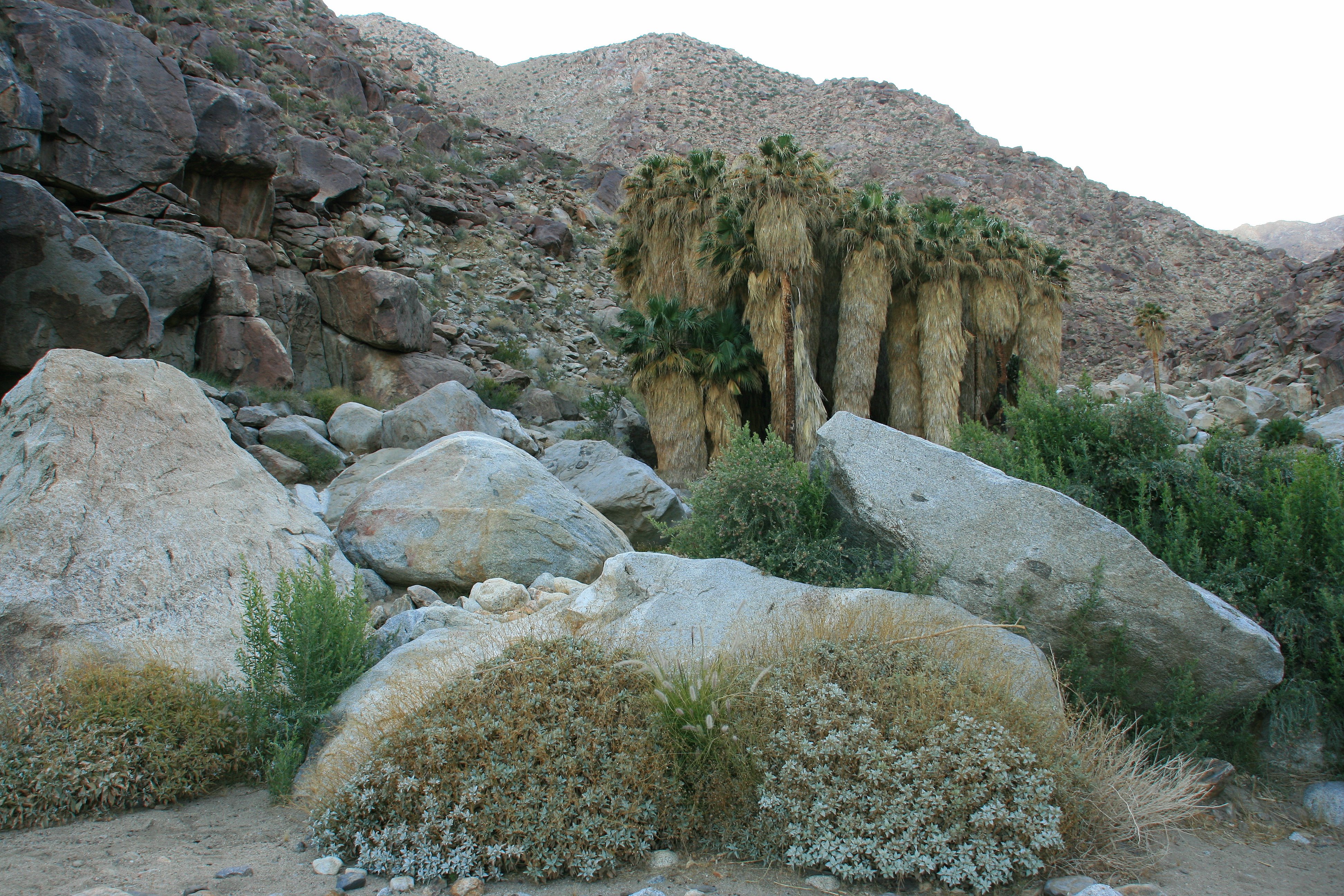
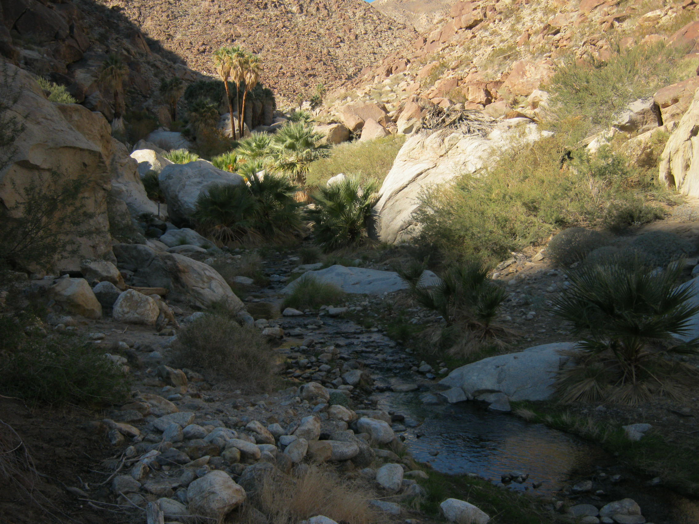
Borrego Palm Canyon
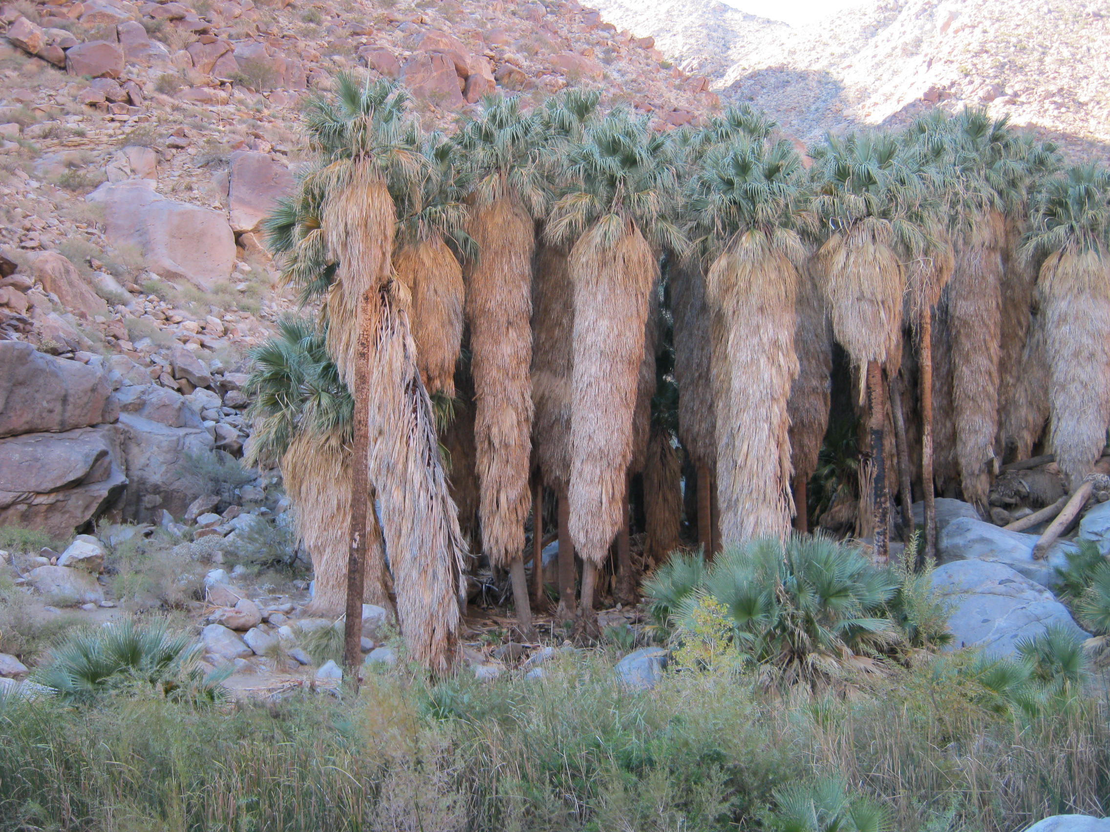
Washington Palms in Palm Canyon ABDSP near Borrego Springs, CA 12-20-2012 ==== LEFT CLICK ON IMAGE FOR BETTER VIEW
Borrego Palm Canyon
Sunset and storm clouds looking up the North Fork of Palm Canyon deep into the San Ysidros.
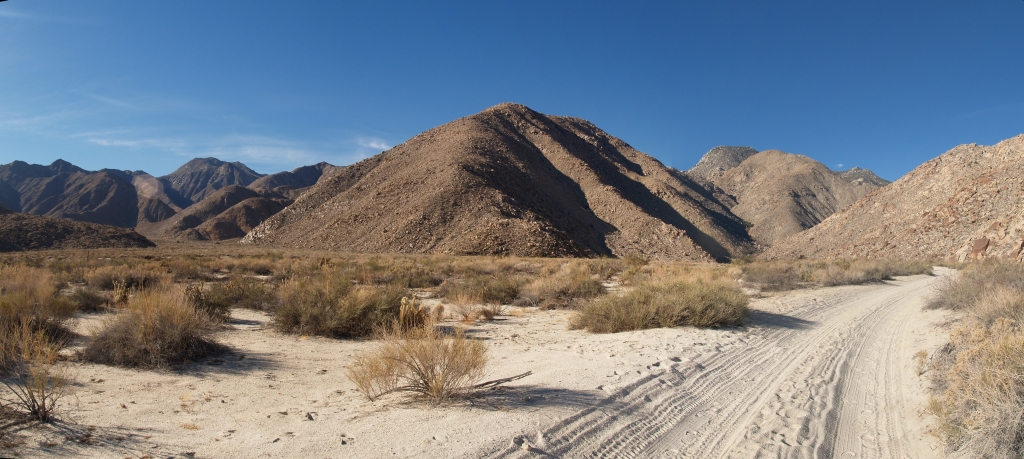
590 Panorama view west toward Indian Canyon, Cougar Canyon, and Sheep Canyon from the road
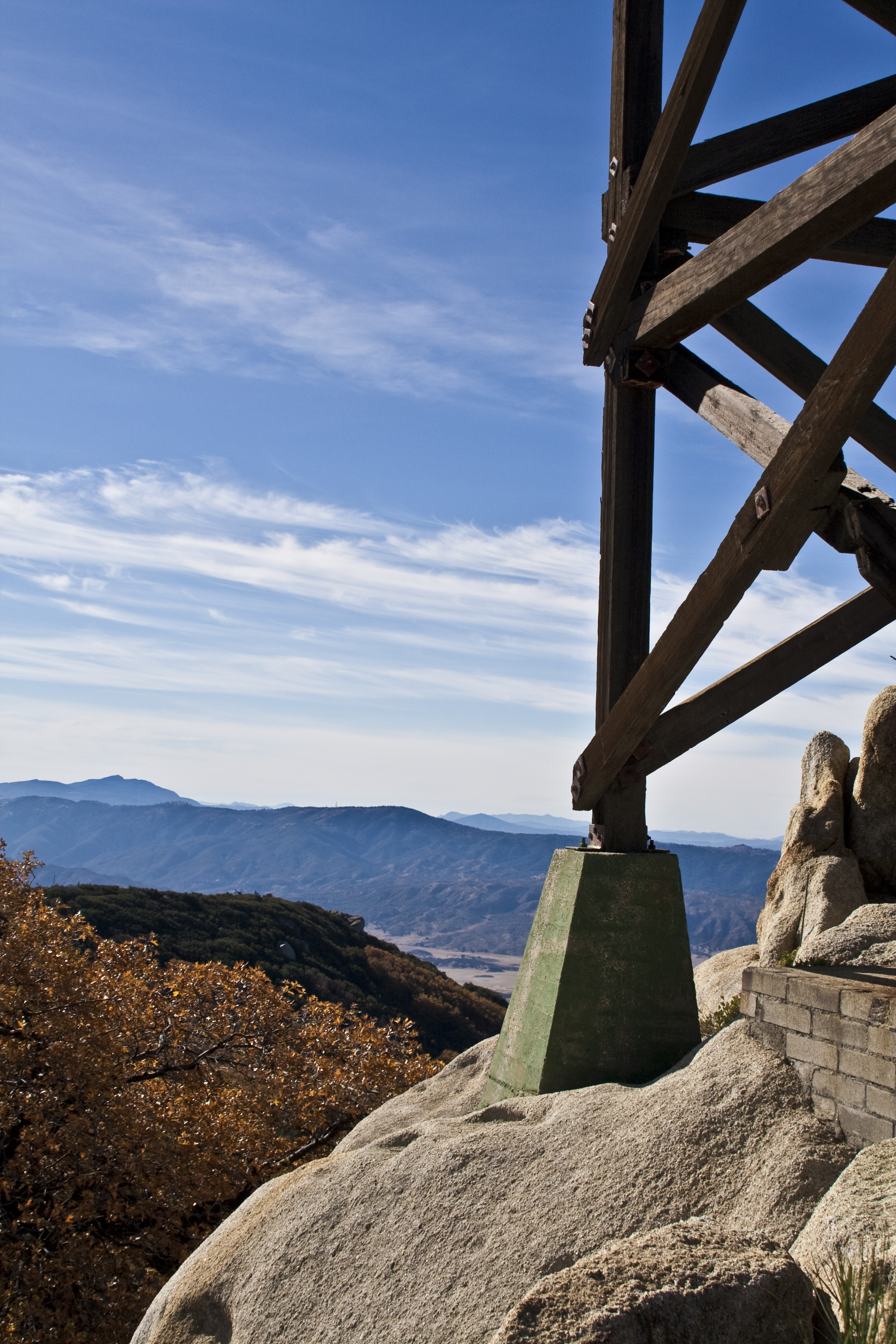
Fire Lookout Tower Hot Springs Mountain
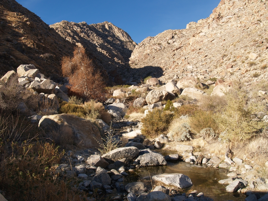
575 Morning view up the stream in Cougar Canyon
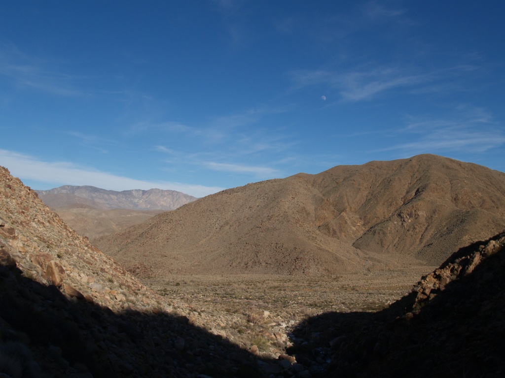
Sheep Canyon
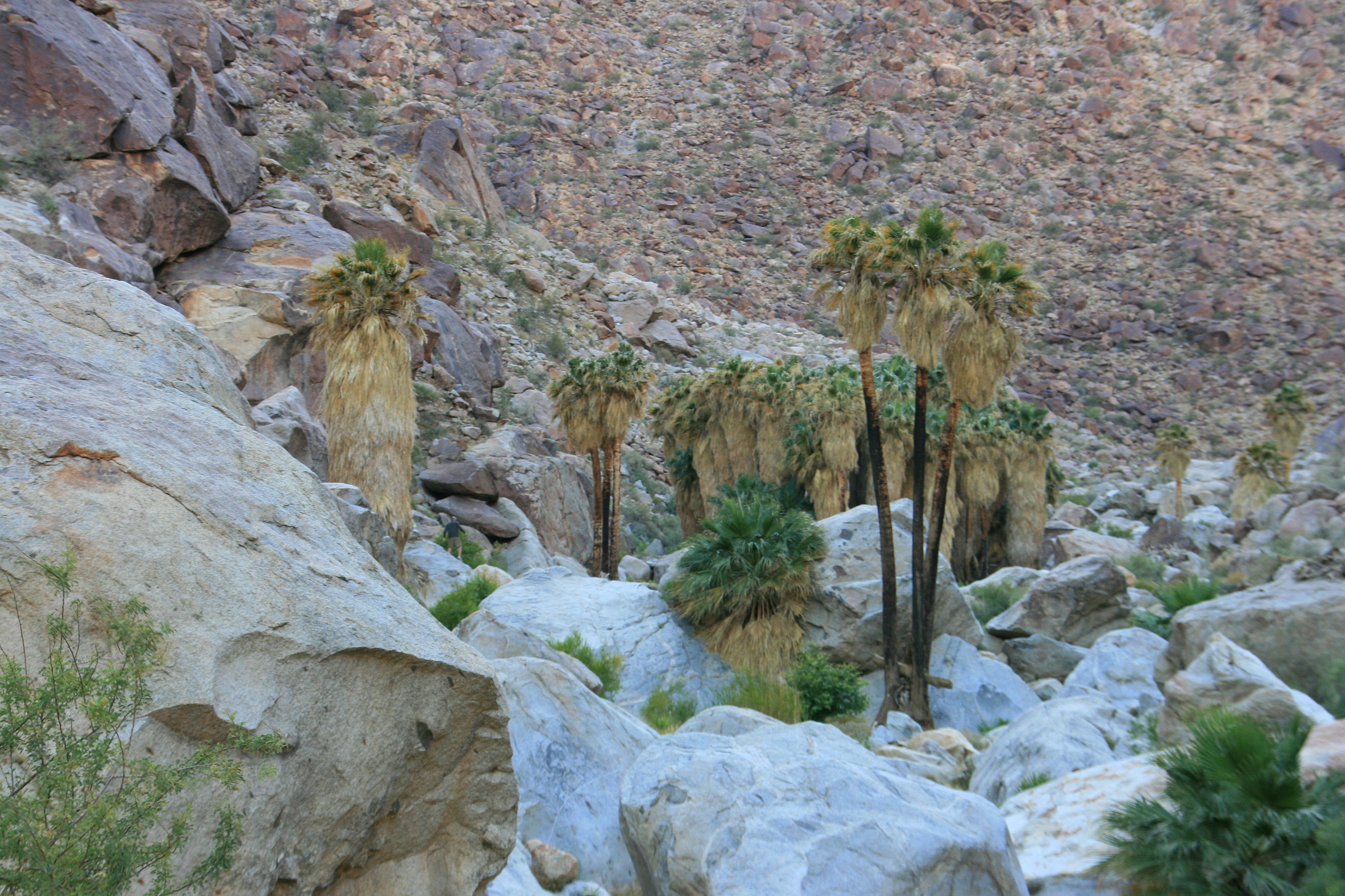
Nearing the first palm grove - Palm Cyn - ABDSP - 12-20-2012 ==== LEFT CLICK ON IMAGE FOR LARGER VIEW
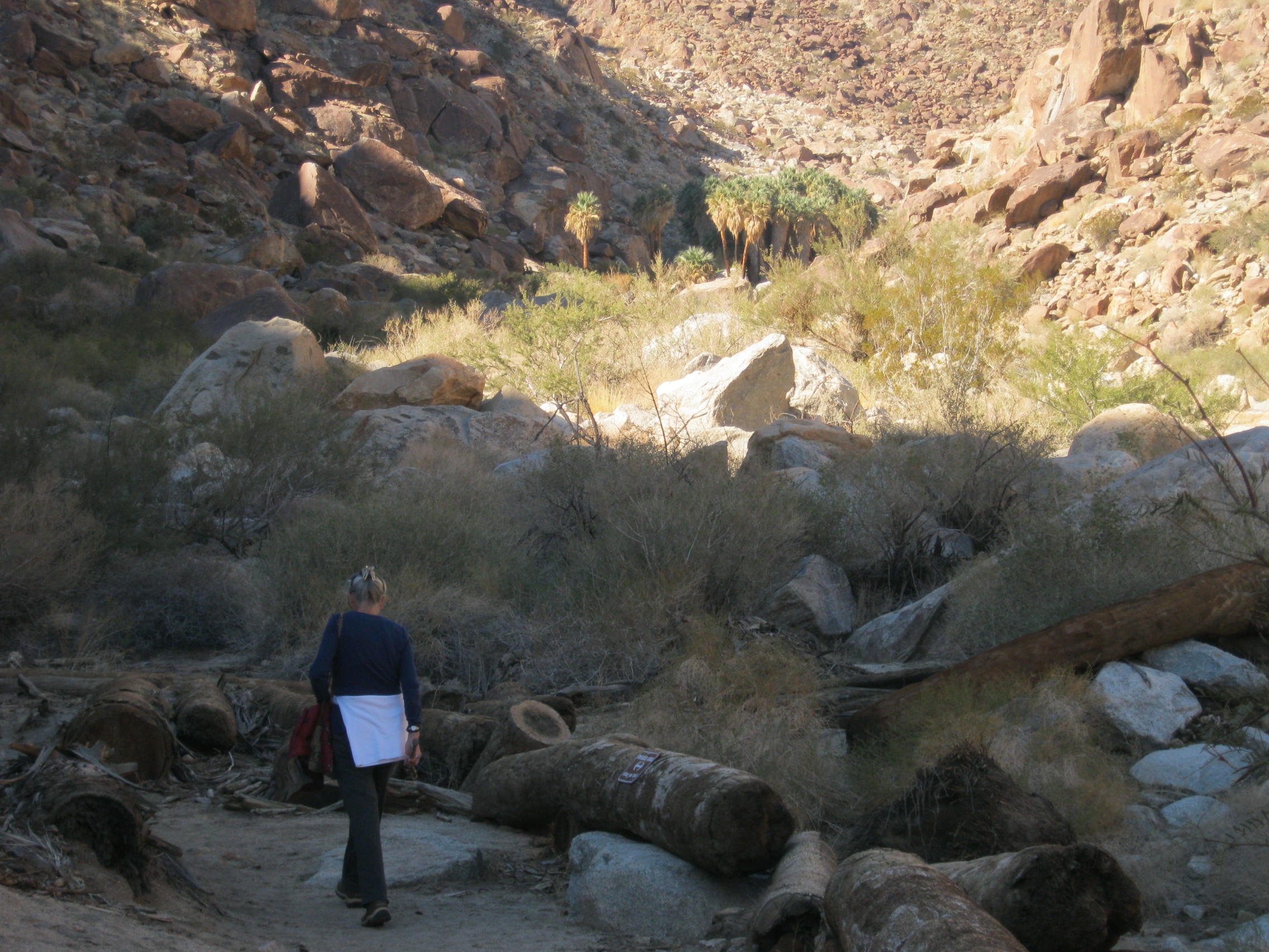
Early view of the first palm grove in the distance - Palm Canyon - near Borrego Springs, CA 12-20-2012 === LEFT CLICK ON IMAGE FOR BETTER VIEW
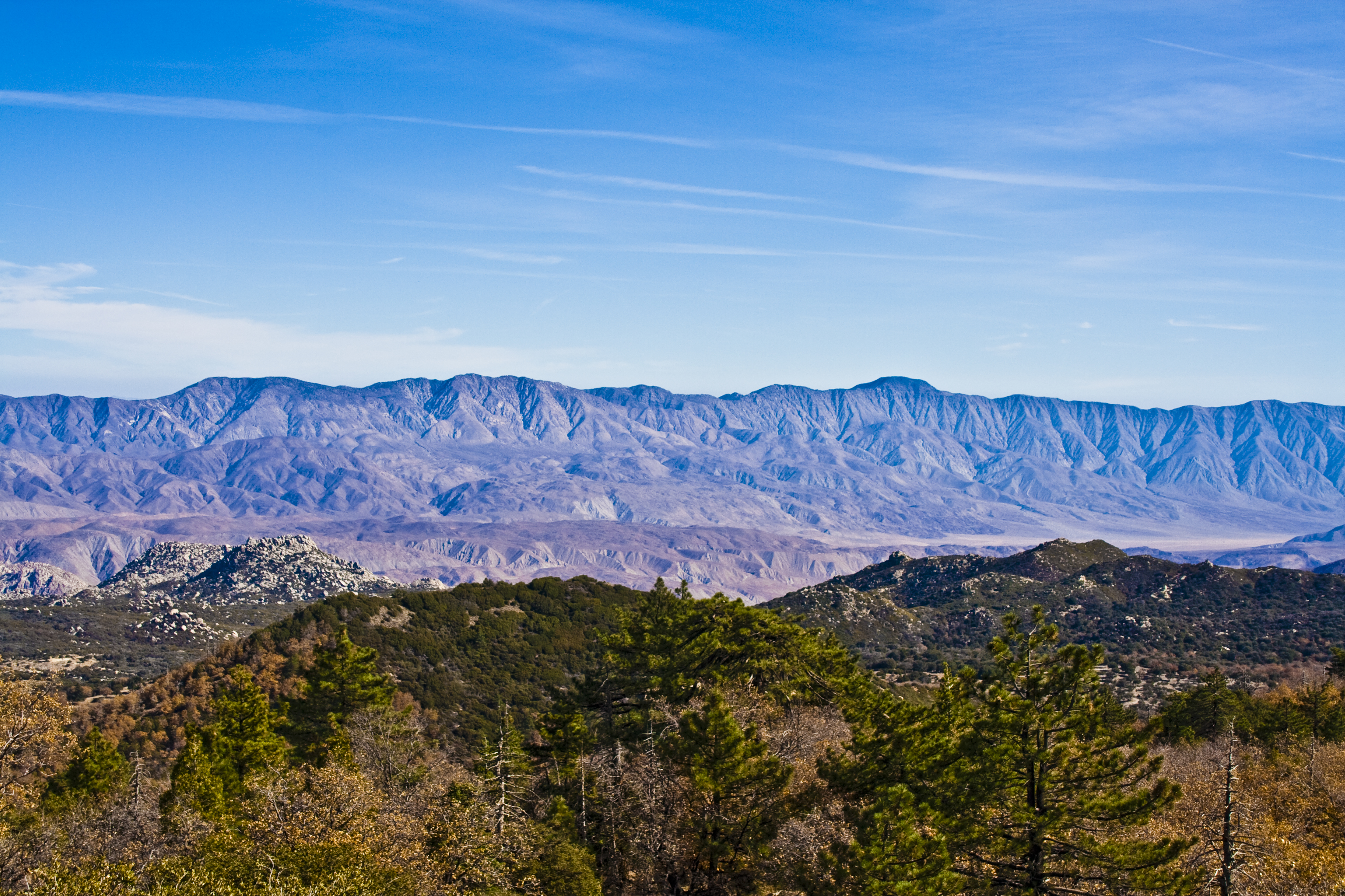
Santa Rosa Mtns from Hot Springs Mountain
203 Panorama view of the South Fork Sheep Canyon (up to the left)
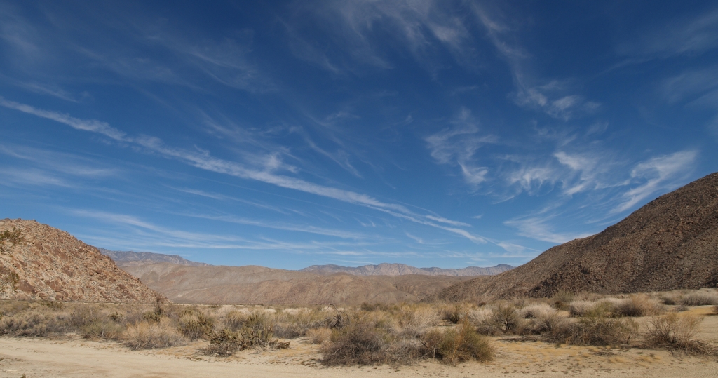
092 Panorama view looking east over the Collins Valley from the road near Sheep Canyon
Cougar-Canyon_362
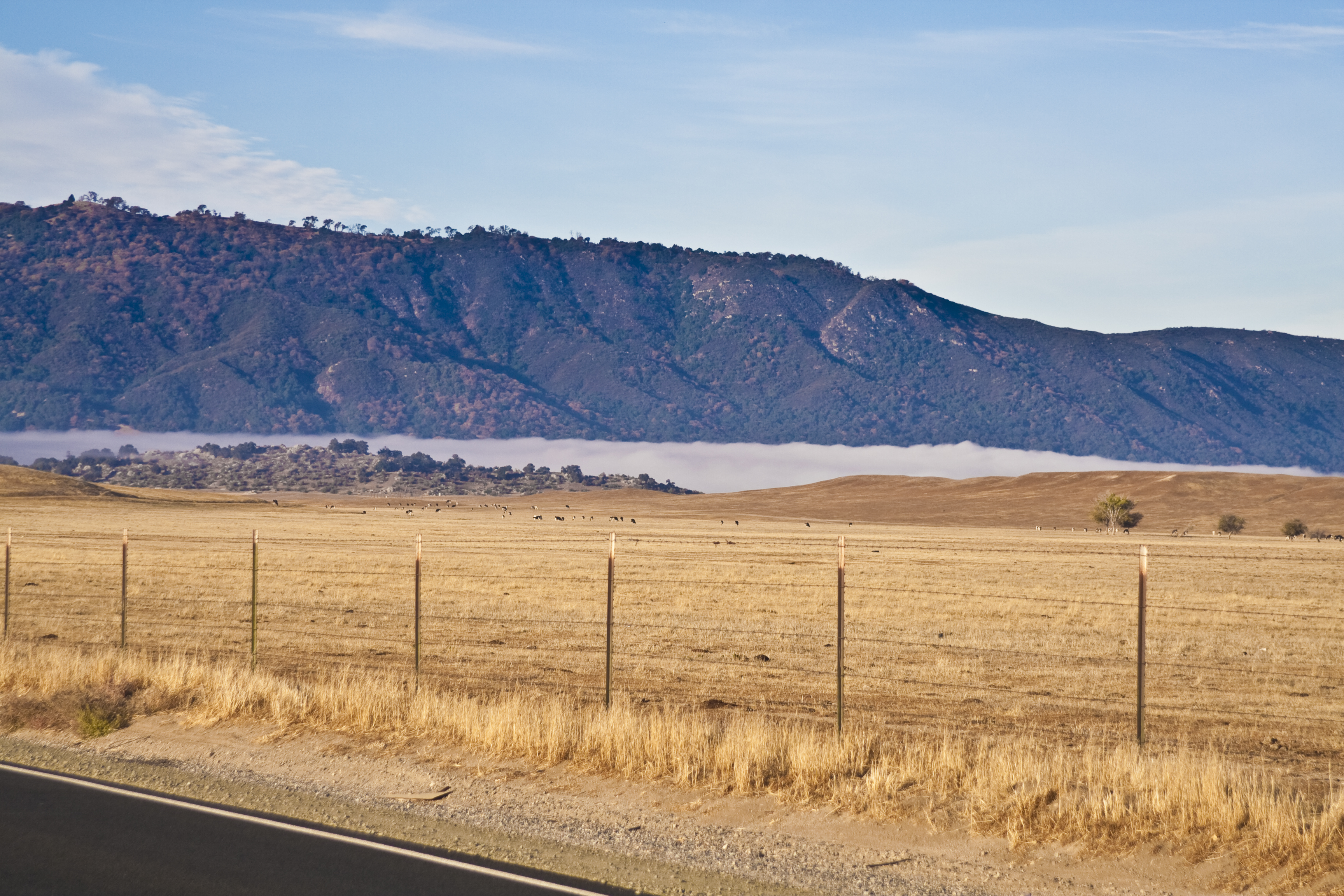
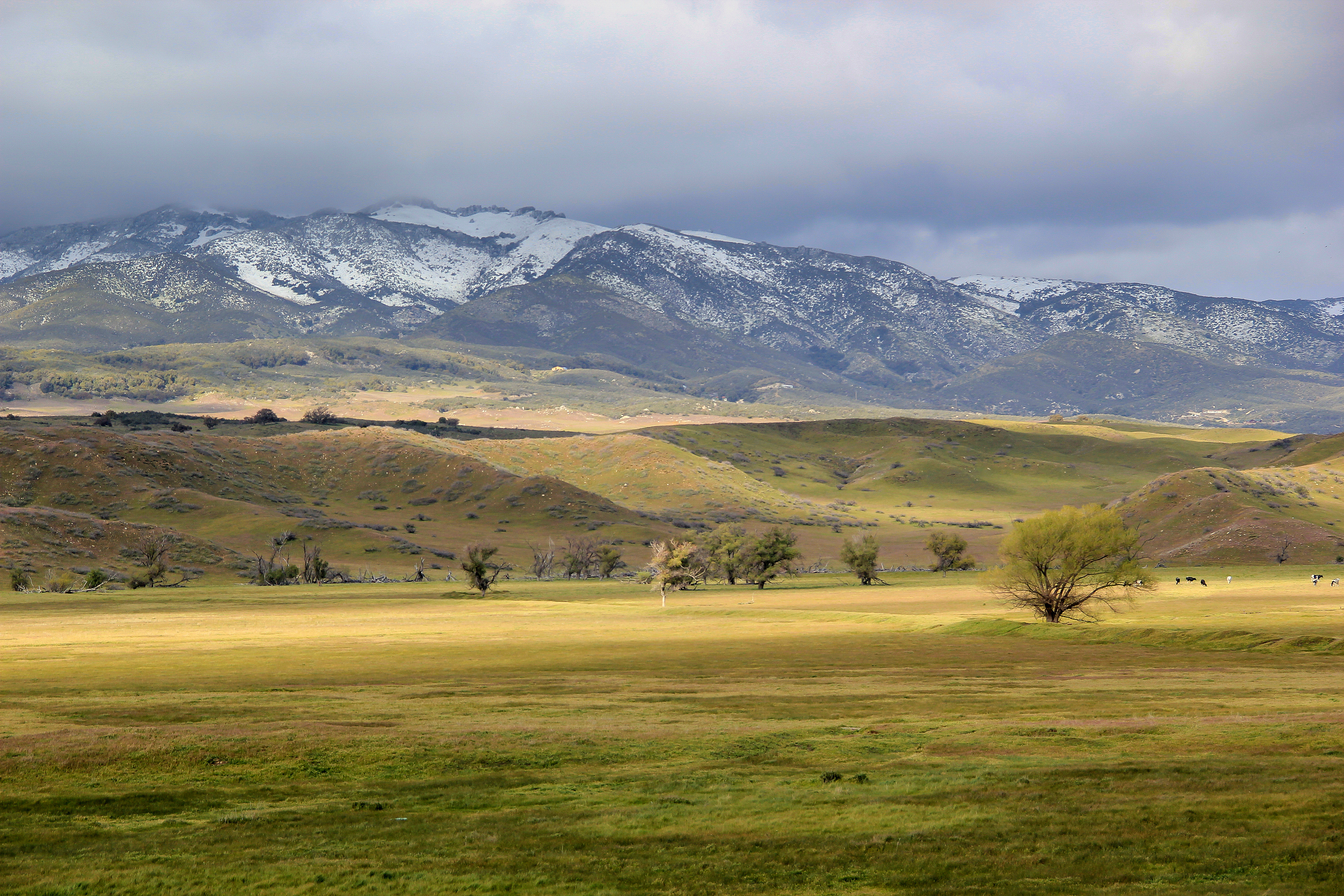
Lake Henshaw Valley Fog
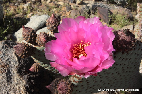
Prickly Pear Blossom [5_002603]
Hot Springs Mountain from 79
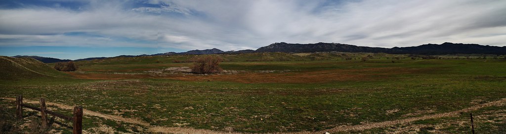
048 Panorama view of Collins Valley
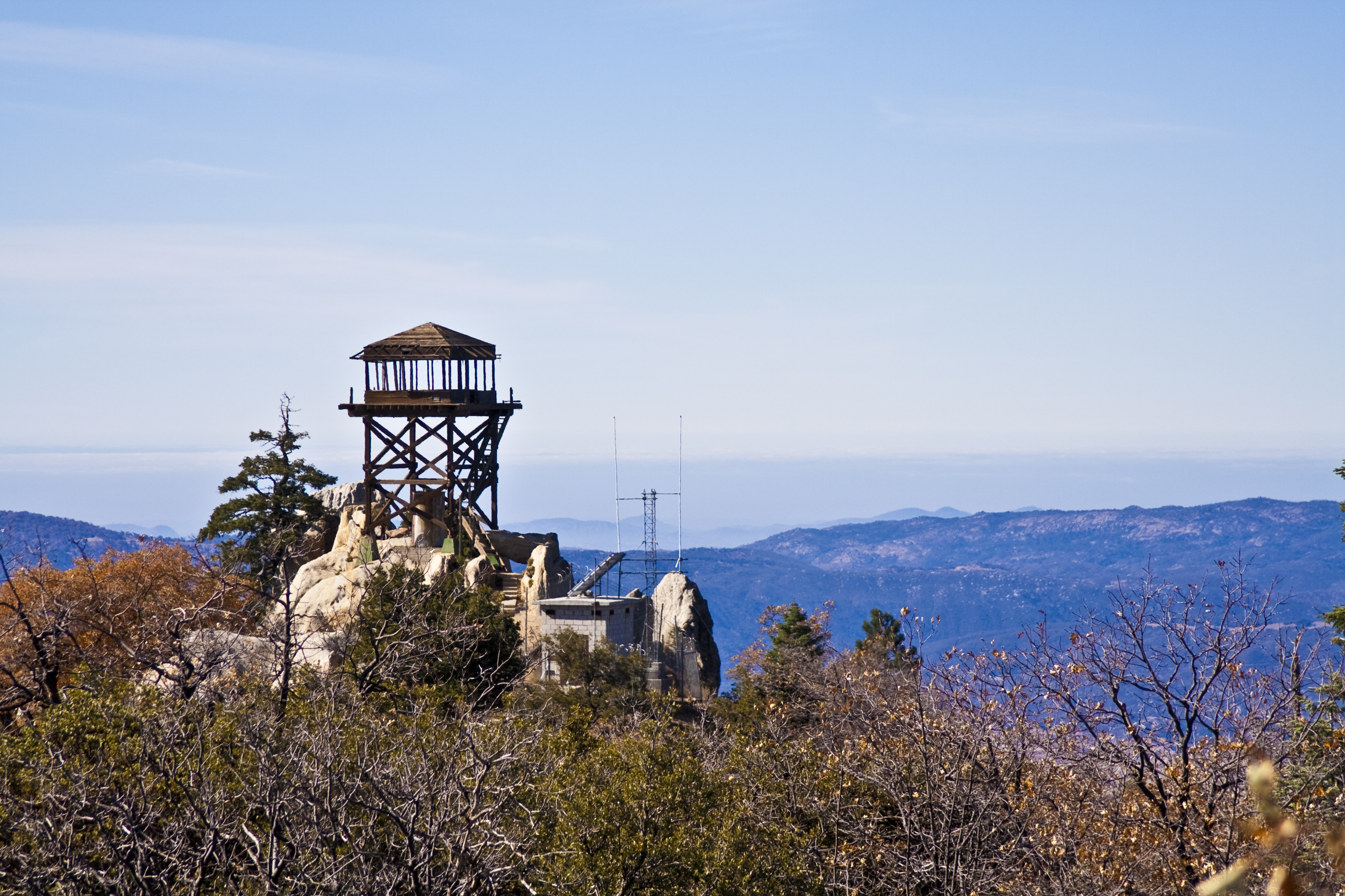
Fire Lookout Tower Hot Springs Mountain
Crossing 3: Coyote Canyon Trail [5_002634]
Warner Springs Ranch, Warner Springs, California
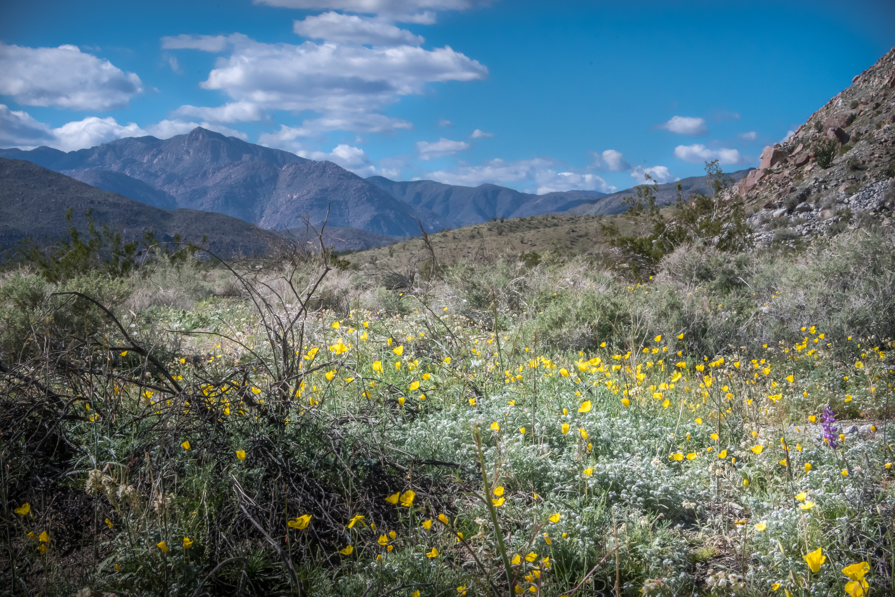
Desert Poppies

the forest
Cañada Buena Vista
Sunrise over the Santa Rosa Mountains and Flatcat Canyon from Hellhole Flat
Warner-Carrillo Ranch January 2015 (8)
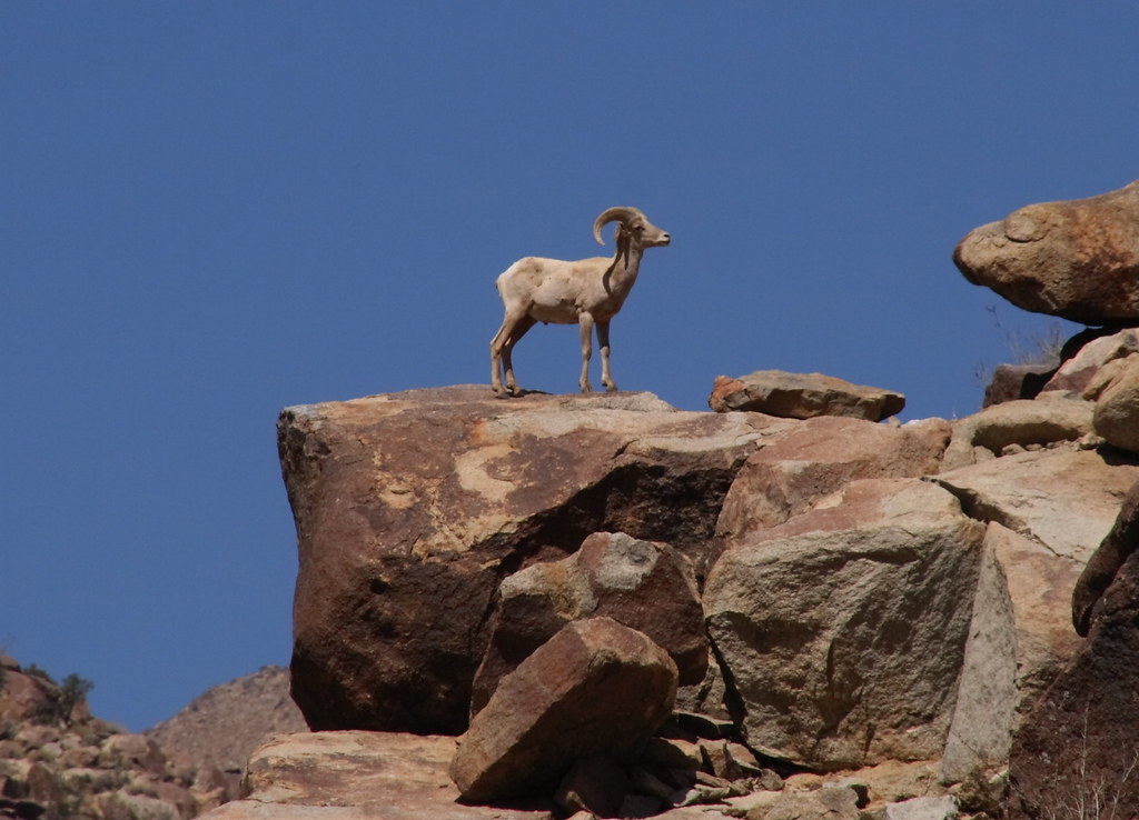
Desert Big Horn Sheep
Almost there
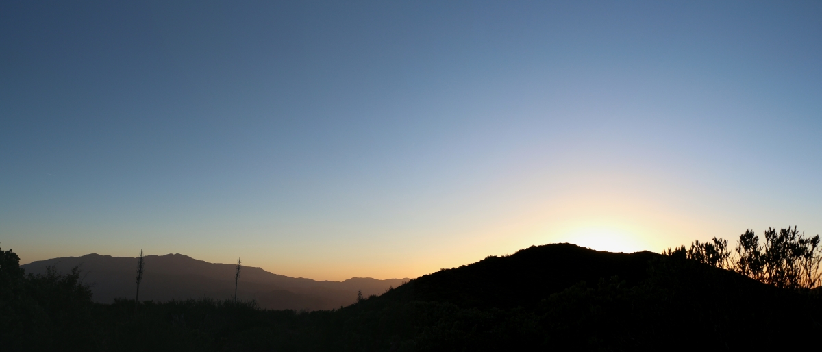
0607 Panorama sunrise from Campsite CS0129 on the PCT
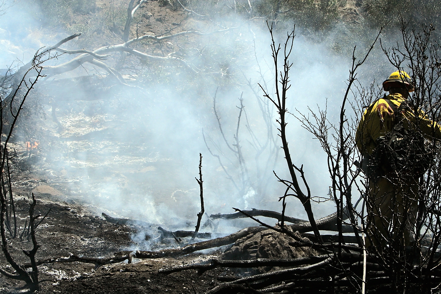
Eagle Fire 2011, Battalion 5, 14,100 acres photos by Kevin Pack CAL FIRE VIP Photographer (53)
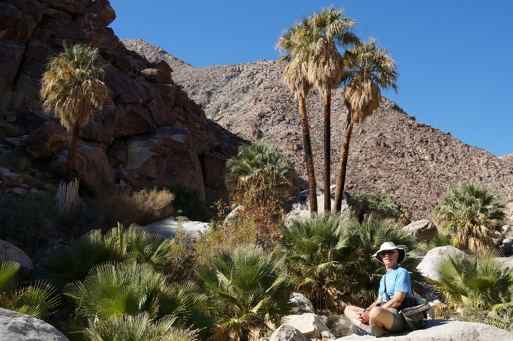
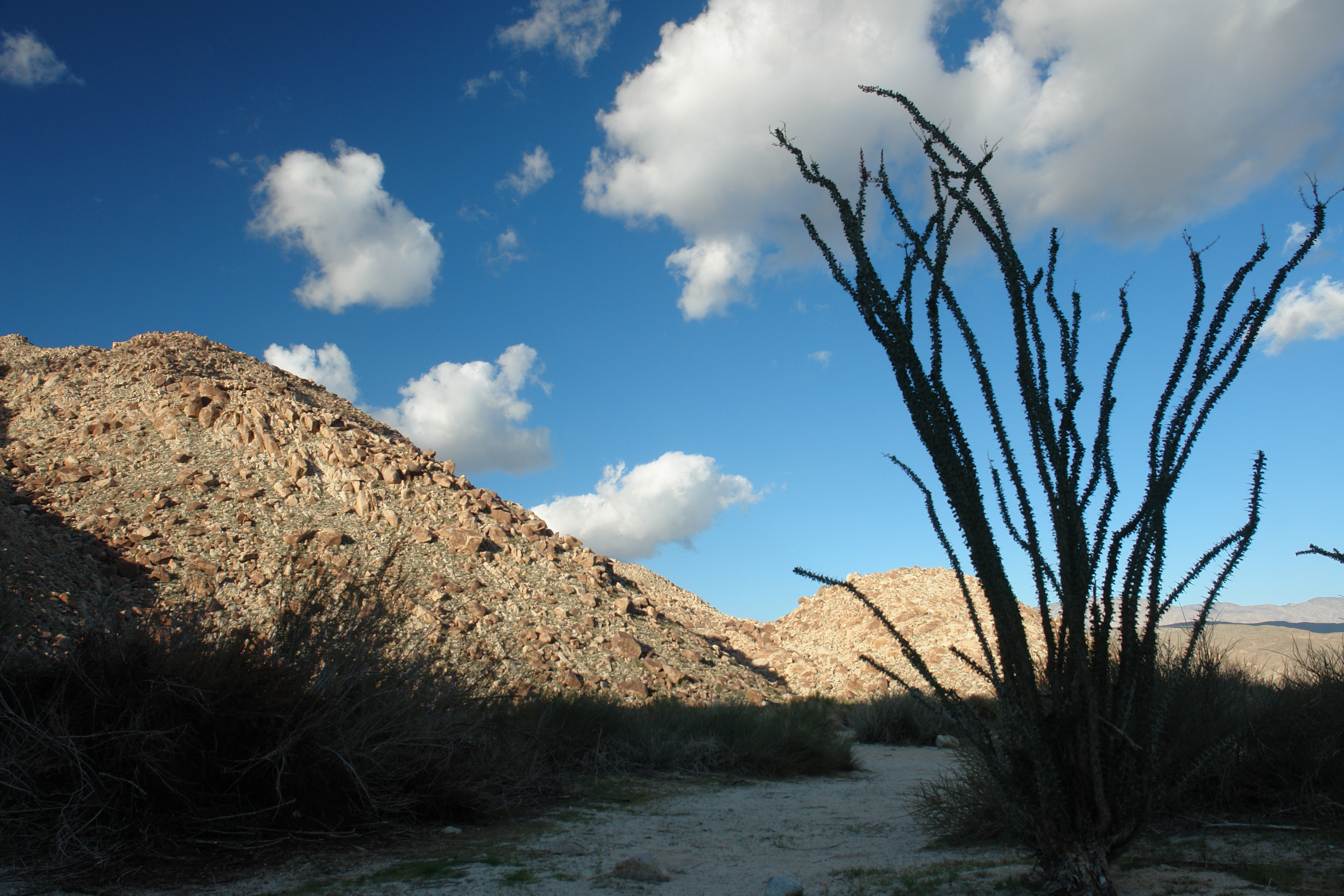
canyon oasis
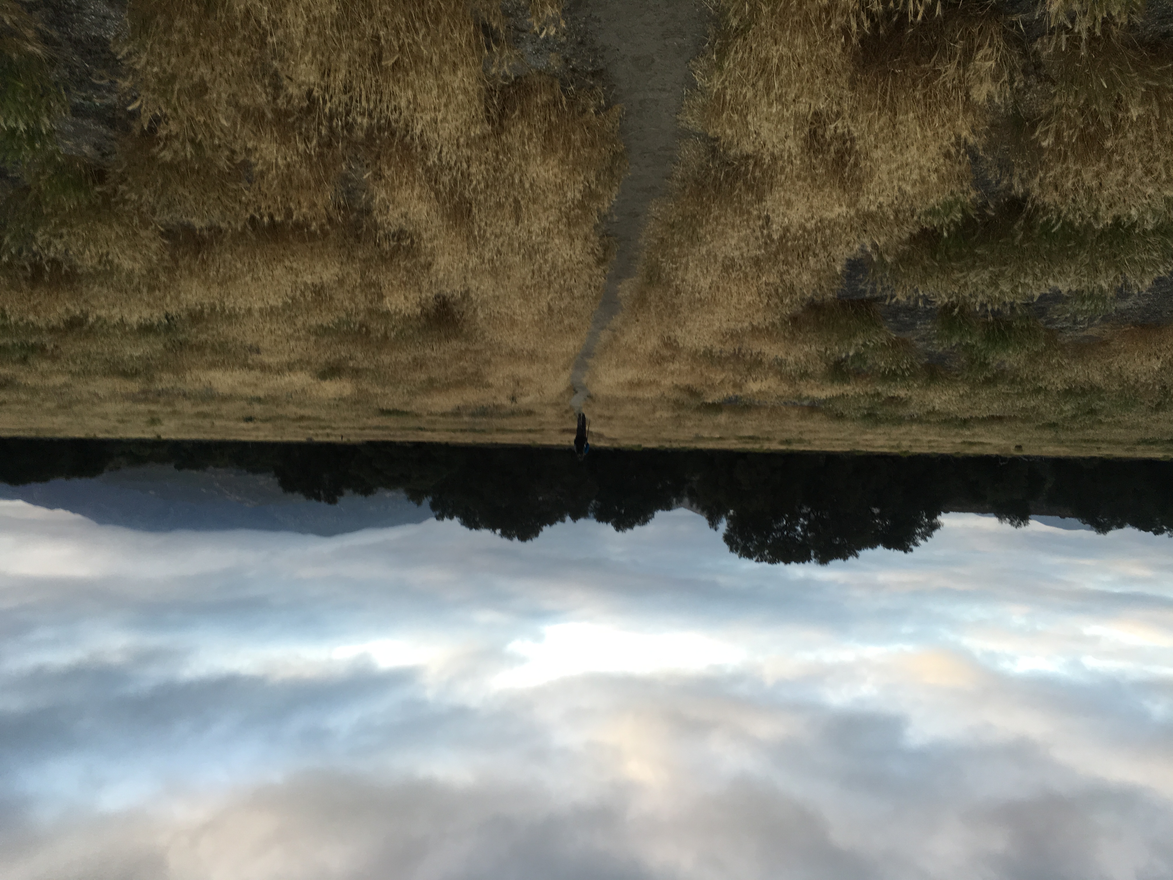
Pct day 7
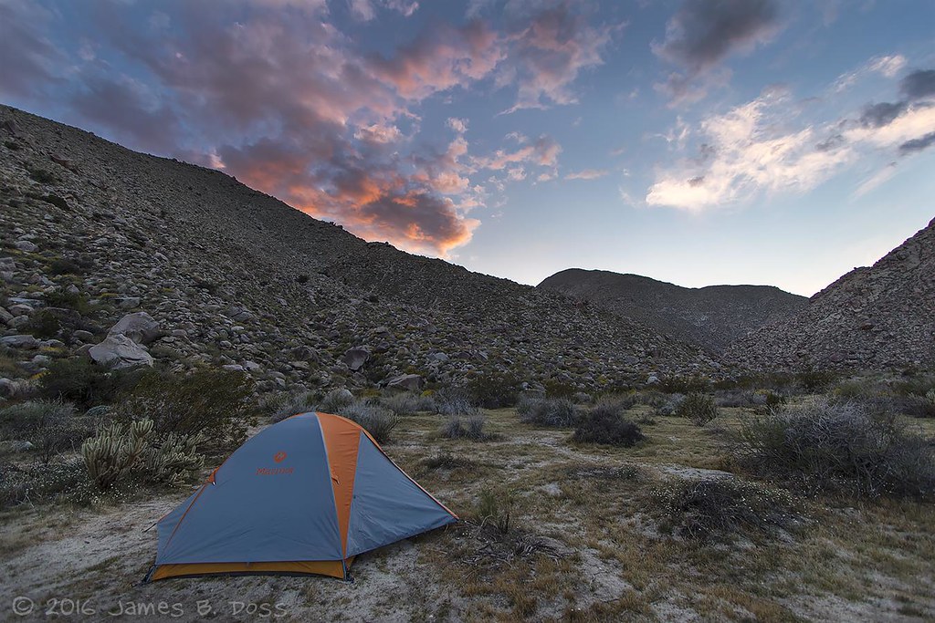
Home for the Night
Indian-Canyon_210_panorama
S-2/San Felipe Road
Indian-Canyon_326_HDR-old-fattal
Pct day 8
0649 Snow on the north-facing slopes on the northeast side of Bucksnort Mountain on the PCT
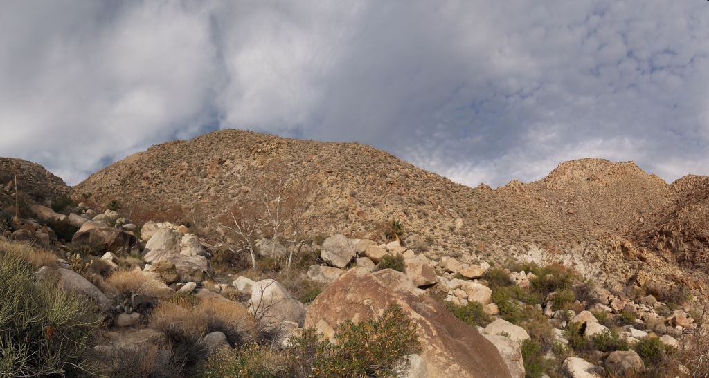
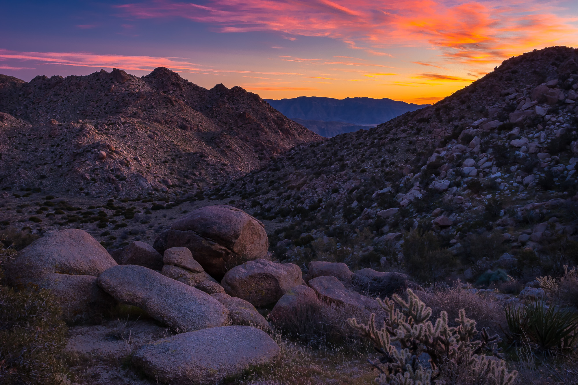
Anza Borrego -23
Pct day 7
Creek at Sheep Canyon
Topographic Map of Schoepe Scout Reservation at Lost Valley, Chihuahua Valley Rd, Warner Springs, CA, USA
Find elevation by address:

Places near Schoepe Scout Reservation at Lost Valley, Chihuahua Valley Rd, Warner Springs, CA, USA:
31234 Chihuahua Valley Rd
32342 Camino San Ignacio
32353 Camino San Ignacio
Warner Springs Ranch Resort
37762 Stamnes Rd
30303 Chihuahua Valley Rd
Warner Springs
29966 Chihuahua Valley Rd
Chihuahua Valley Road
29352 Chihuahua Valley Rd
Chihuahua Valley
37852 Montezuma Valley Rd
Ranchita
Montezuma Valley Rd, Warner Springs, CA, USA
35625 Stevens Way
37443 Montezuma Valley Rd
San Felipe
38204 Co Hwy S22
Montezuma Valley Rd, Ranchita, CA, USA
Culp Valley Primitive Campground
Recent Searches:
- Elevation of Corso Fratelli Cairoli, 35, Macerata MC, Italy
- Elevation of Tallevast Rd, Sarasota, FL, USA
- Elevation of 4th St E, Sonoma, CA, USA
- Elevation of Black Hollow Rd, Pennsdale, PA, USA
- Elevation of Oakland Ave, Williamsport, PA, USA
- Elevation of Pedrógão Grande, Portugal
- Elevation of Klee Dr, Martinsburg, WV, USA
- Elevation of Via Roma, Pieranica CR, Italy
- Elevation of Tavkvetili Mountain, Georgia
- Elevation of Hartfords Bluff Cir, Mt Pleasant, SC, USA