Elevation of Chihuahua Valley Rd, Warner Springs, CA, USA
Location: United States > California > San Diego County > Warner Springs >
Longitude: -116.67530
Latitude: 33.38393
Elevation: 1289m / 4229feet
Barometric Pressure: 87KPa
Elevation Map:
Satellite Map:
Related Photos:

WR137 Tule Creek (early season)

0224 Zoomed-in view of Beauty Peak (5545 ft) from the PCT near Lost Valley Road

View east

View south from Combs Peak

Mirror image

Warner Springs Ranch, Warner Springs, California

View NE across the valley

Mom Dozed Off While Reading --- Warner Springs Ranch, Warner Springs, California

Mom Dozed Off While Reading --- Warner Springs Ranch, Warner Springs, California

"Casitas" At Warner Springs Ranch, Warner Springs, California

Bodey hearing an approaching hiker

Warner Springs Ranch, Warner Springs, California

Warner Springs Ranch, Warner Springs, California

Rock Hoist

Warner Springs Ranch, Warner Springs, California

Warner Springs Ranch, Warner Springs, California

Another View of the BAT Room

PCT along Agua Caliente Creek

Mined Out Room

0657 Panorama view north and east from the PCT near mile 130, San Jacinto and Toro Peaks in the distance

Fire Lookout Tower Hot Springs Mountain

Los Coyotes Indian Reservation Hot Springs Mountain at Sunset

I Dream of Horses

0817 Cholla cactus along the PCT in the Anza-Borrego Desert near mile 138

Warner Springs

Milky Clouds

USA-2016_Matagual Valley

USA-2016_Matagual Valley

N2481W Schweizer SGS-2-33 at Warner Springs CA

Oak Grove, California

IMG_2489 Eagle Rock

112 The back side of Eagle Rock - not particularly eagle-like
Warner Springs

IMG_2503 Eagle Rock

228 Beautiful Oaks on the PCT in Warner Springs

Lost Valley

Pct day 6

National Public Lands Day- Palm Springs, CA

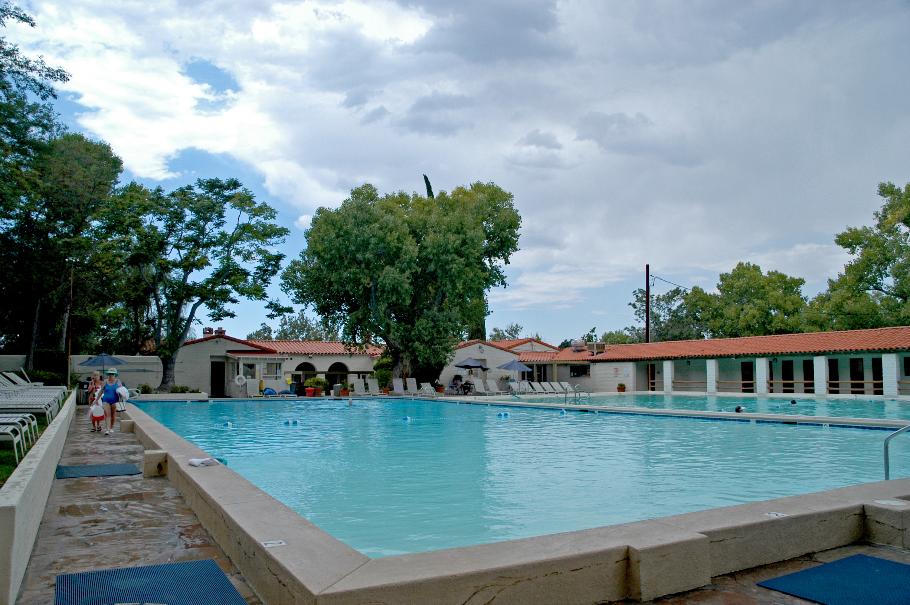
Looking Across Mineral Water Pool Toward Main Entrance

Eagle Rock

Outskirts of Anza, CA
Topographic Map of Chihuahua Valley Rd, Warner Springs, CA, USA
Find elevation by address:

Places near Chihuahua Valley Rd, Warner Springs, CA, USA:
29966 Chihuahua Valley Rd
Chihuahua Valley Road
37762 Stamnes Rd
29352 Chihuahua Valley Rd
31234 Chihuahua Valley Rd
Chihuahua Valley
Schoepe Scout Reservation At Lost Valley
Warner Springs Ranch Resort
Warner Springs
32342 Camino San Ignacio
32353 Camino San Ignacio
Anza, CA, USA
Anza
37325 Bohlen Rd
San Felipe
Santa Ysabel Tribal Office
Pathfinder Ranch
59301 Courtesy Dr
CA-74, Mountain Center, CA, USA
37443 Montezuma Valley Rd
Recent Searches:
- Elevation of Corso Fratelli Cairoli, 35, Macerata MC, Italy
- Elevation of Tallevast Rd, Sarasota, FL, USA
- Elevation of 4th St E, Sonoma, CA, USA
- Elevation of Black Hollow Rd, Pennsdale, PA, USA
- Elevation of Oakland Ave, Williamsport, PA, USA
- Elevation of Pedrógão Grande, Portugal
- Elevation of Klee Dr, Martinsburg, WV, USA
- Elevation of Via Roma, Pieranica CR, Italy
- Elevation of Tavkvetili Mountain, Georgia
- Elevation of Hartfords Bluff Cir, Mt Pleasant, SC, USA