Elevation of Bohlen Rd, Anza, CA, USA
Location: United States > California > Riverside County > Anza >
Longitude: -116.65664
Latitude: 33.5797429
Elevation: 1311m / 4301feet
Barometric Pressure: 87KPa
Elevation Map:
Satellite Map:
Related Photos:
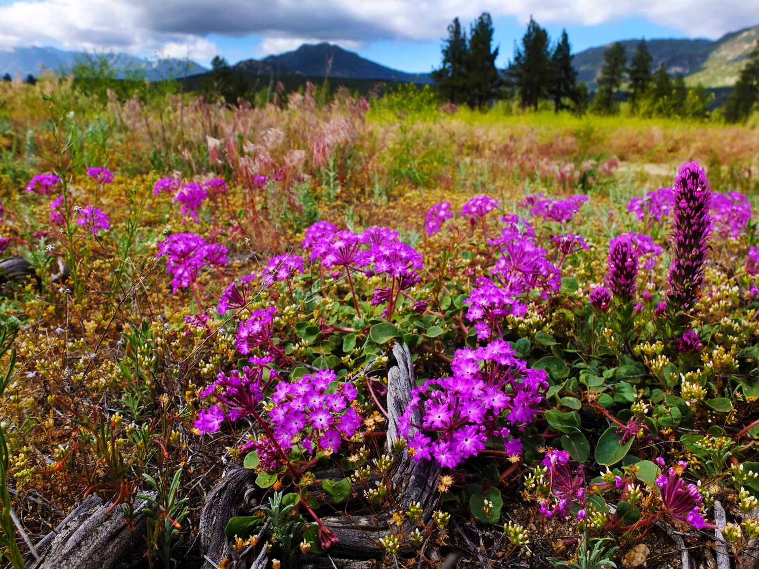
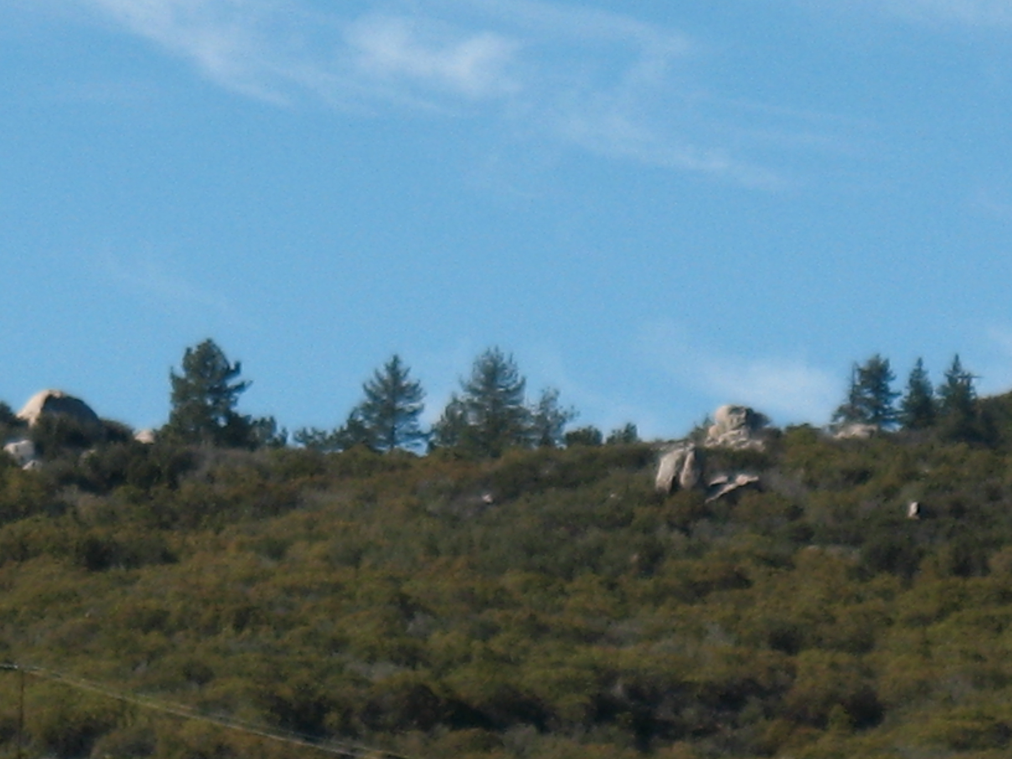
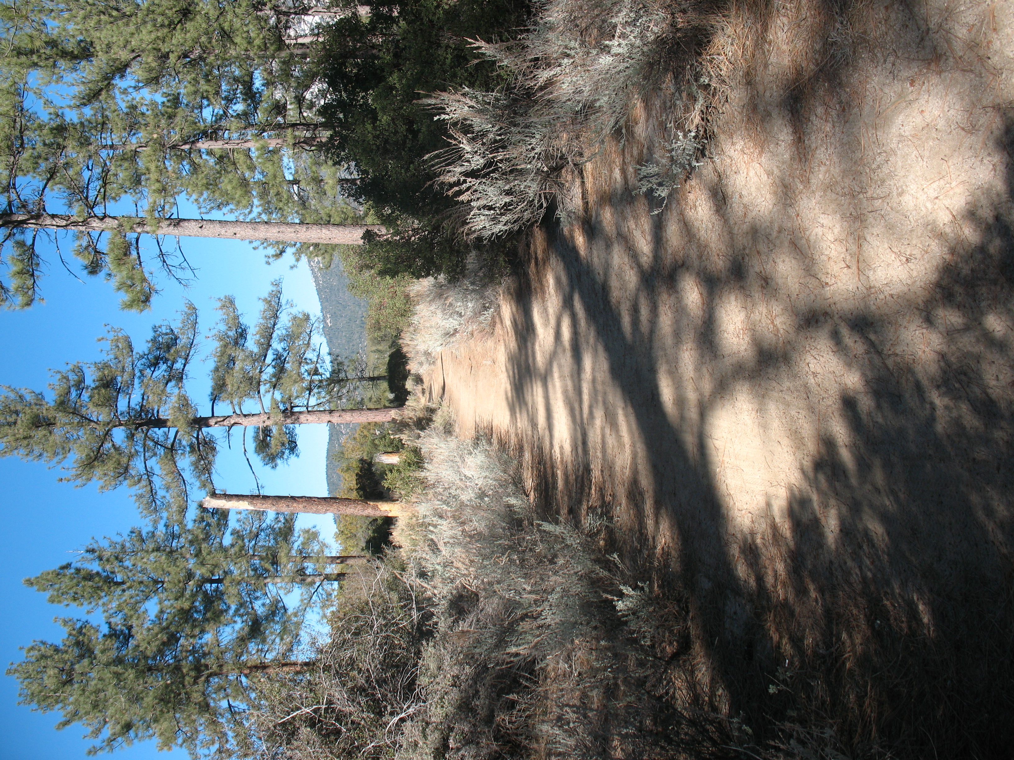
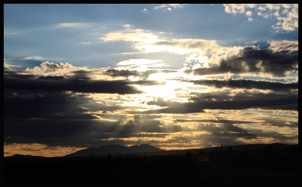
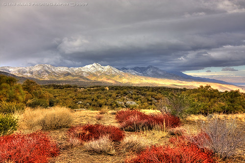
Mountain Meadow
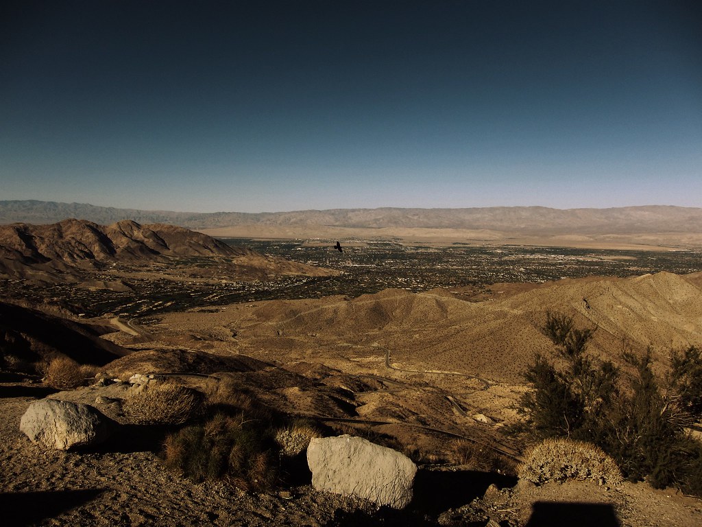
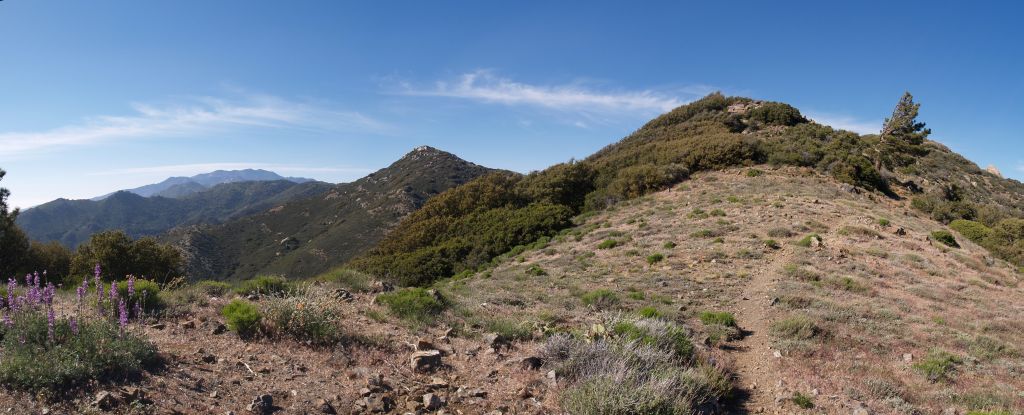
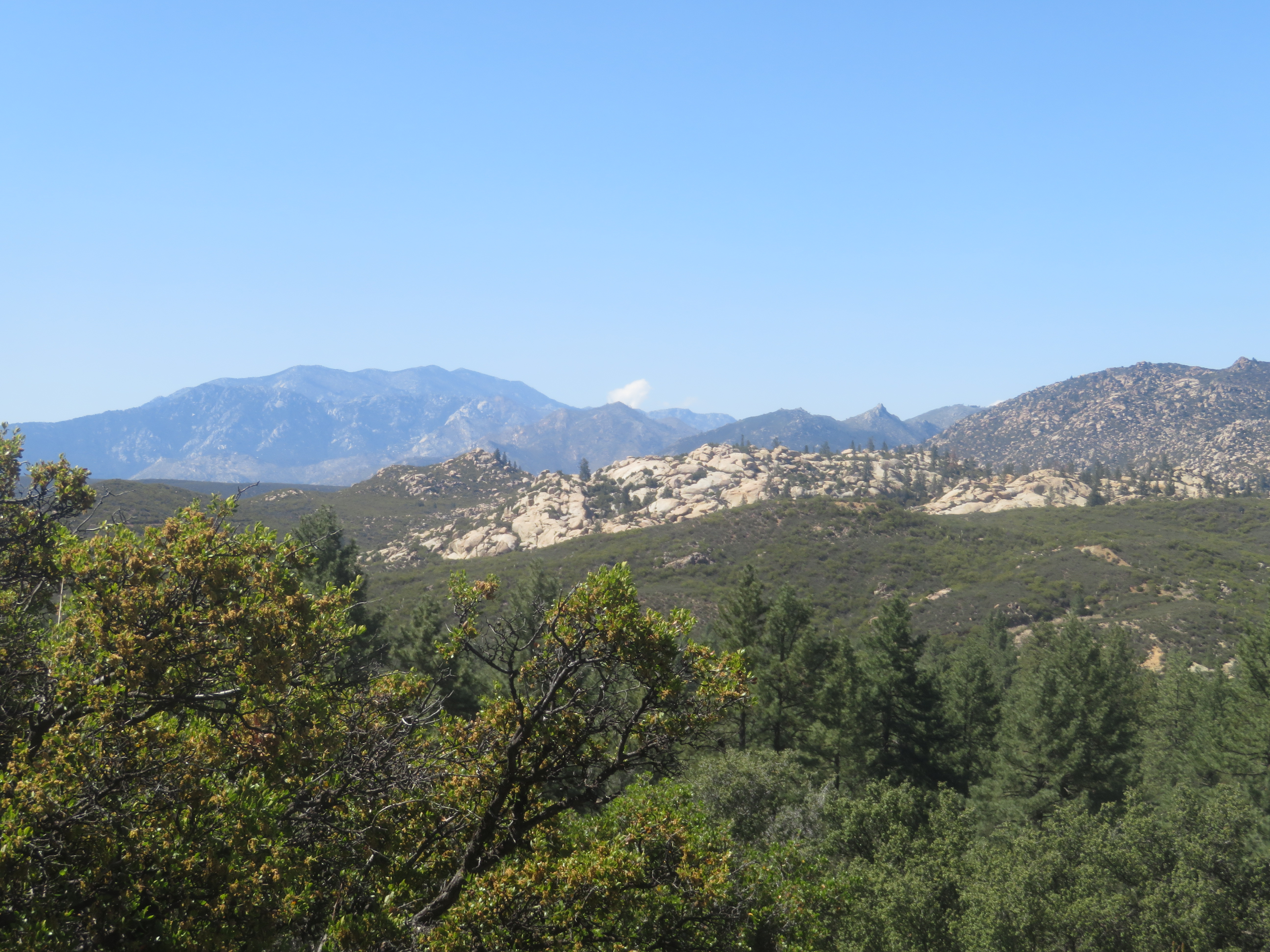
Vista point.
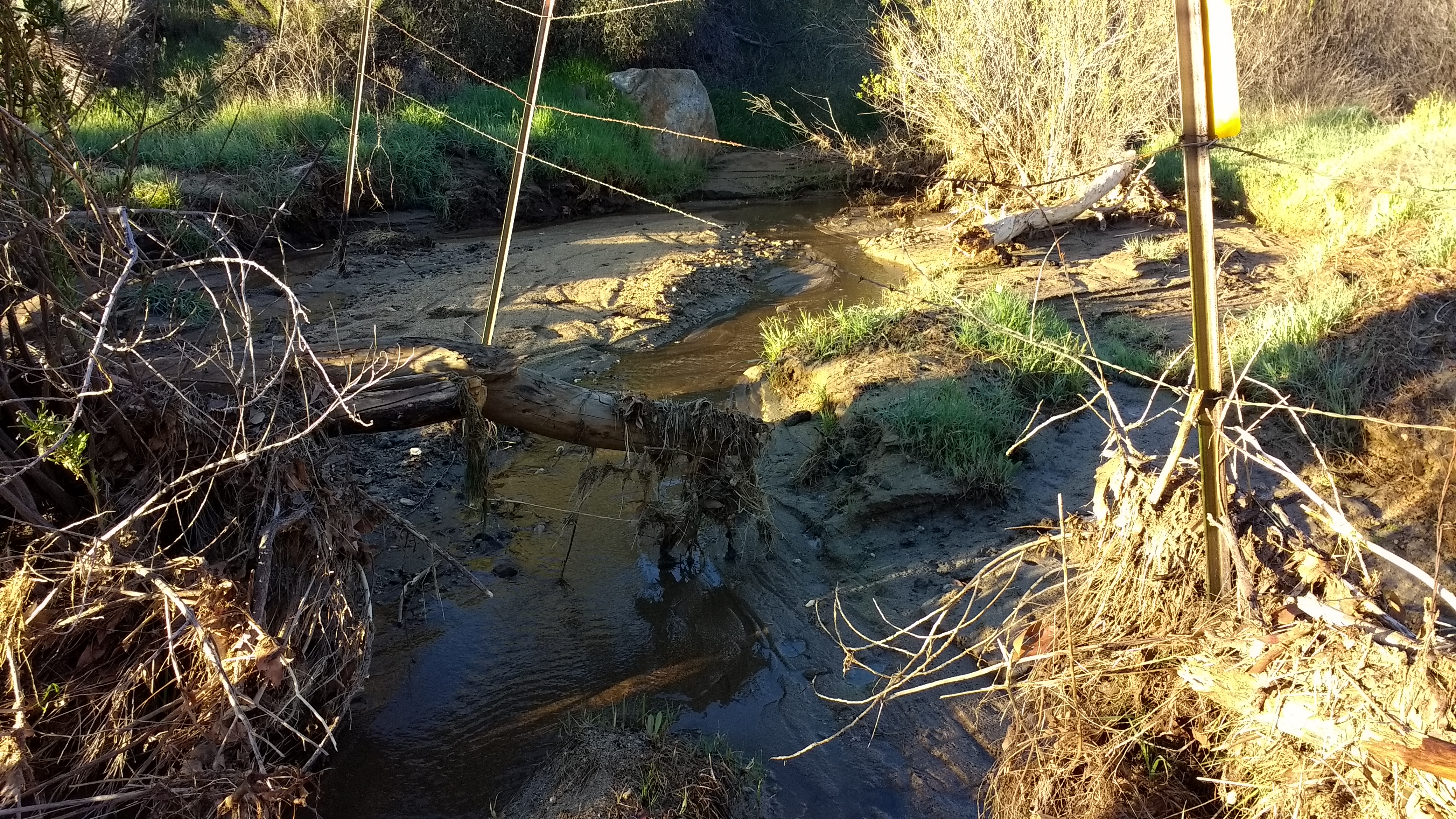
WR137 Tule Creek (early season)
Hurkey Creek_20100110_030
Hurkey Creek_20100110_033

Hurkey Creek_20100110_007
0211 PCT view north - San Jacinto Peak in the distance, Pyramid Peak just left of center

Hurkey Creek_20100110_006
Hurkey Creek_20100110_010
Hurkey Creek_20100110_012
Hurkey Creek_20100110_005
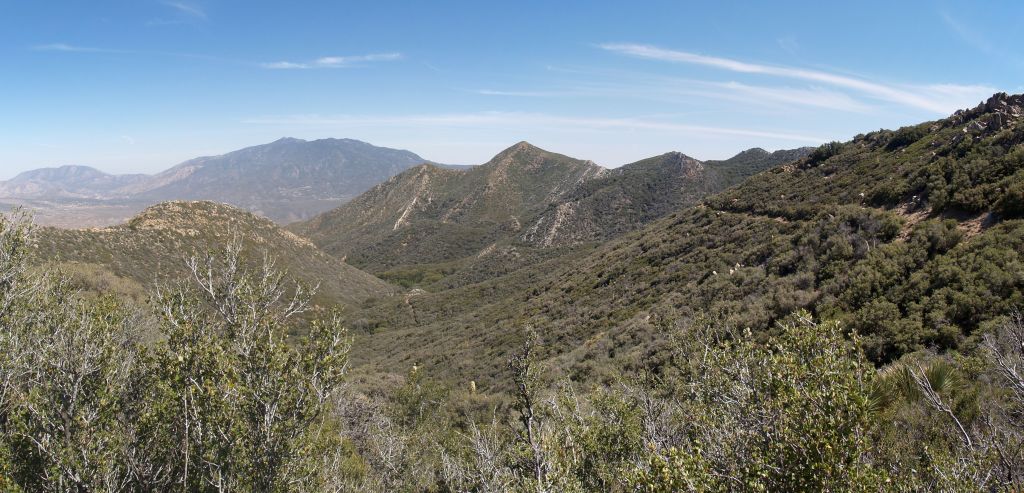
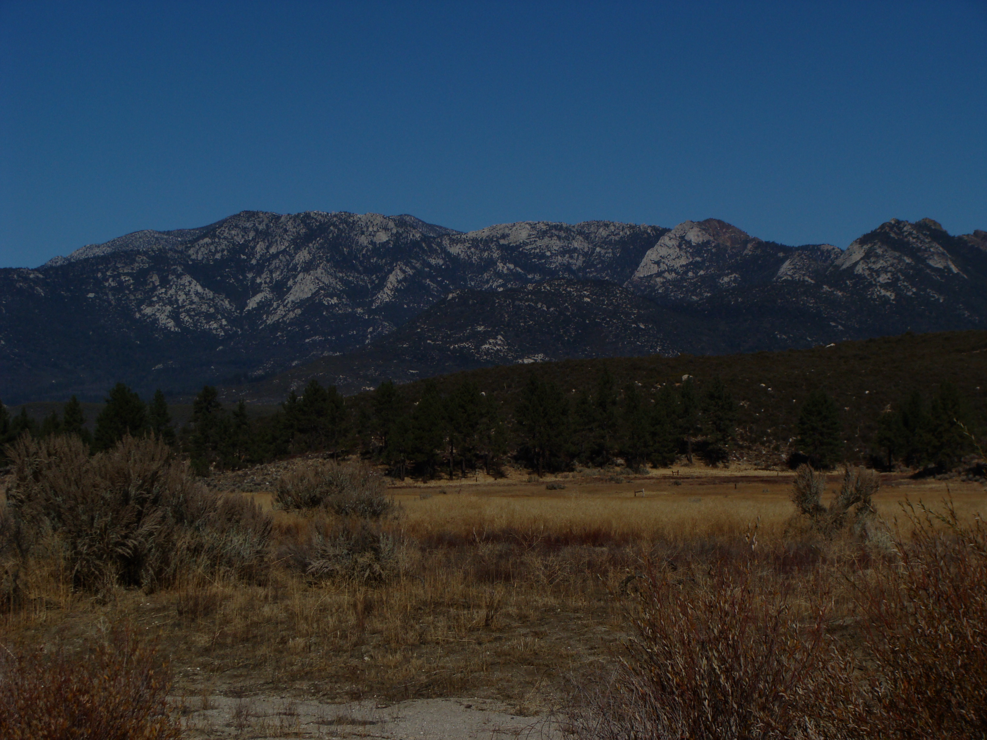
View to the north
0175 PCT north of Route 74 - panorama view south toward Toro Peak
Hurkey Creek_20100110_014
0235 Panorama view south from the PCT just west of Pine Mountain - Toro Peak in the distance
027_Toro-Peak_panorama
Hurkey Creek_20100110_001

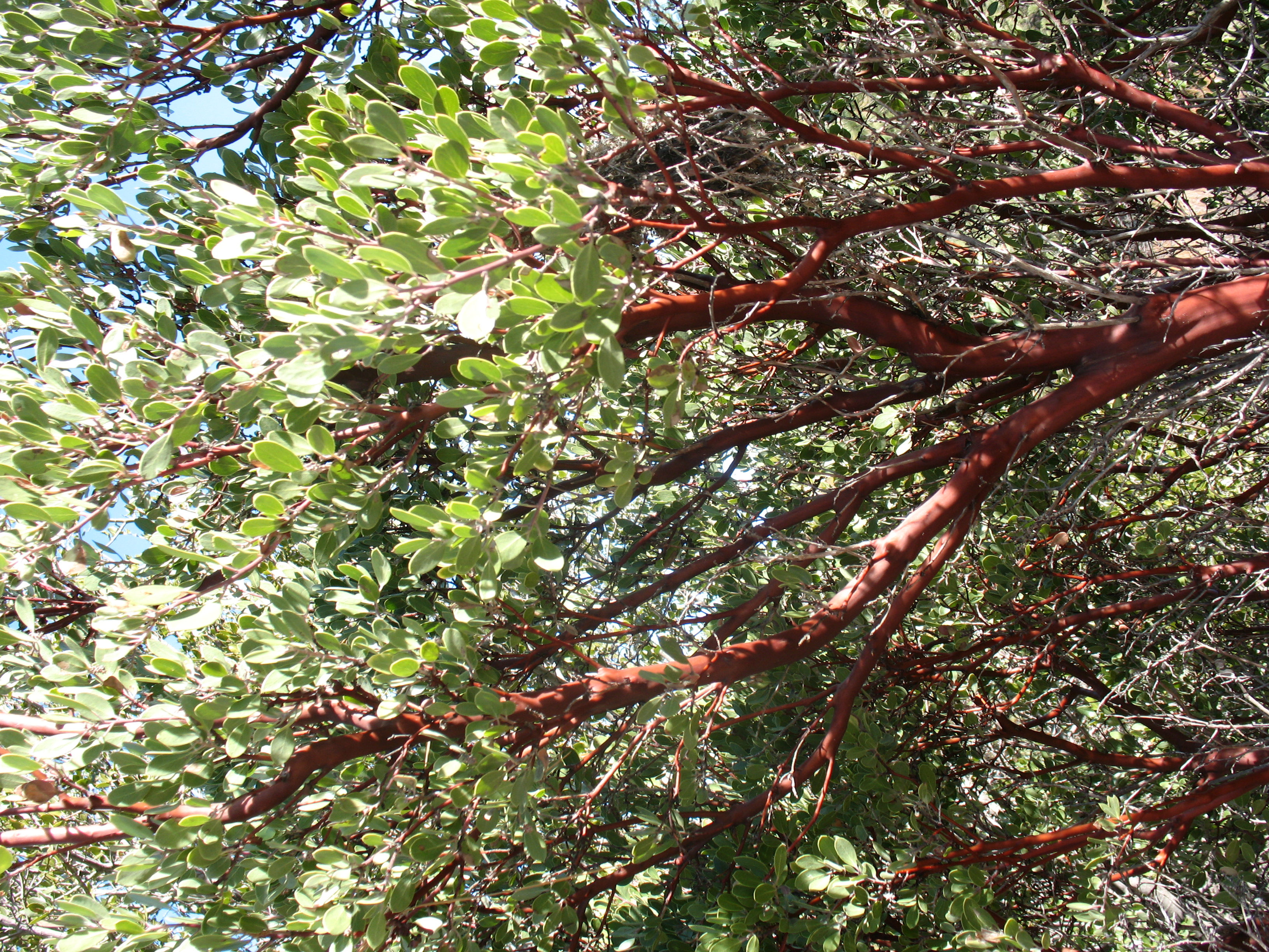
Buzz the Bloom
0078 View north to San Jacinto Peak on the PCT near Route 74
View of San Jacinto Valley from Pines to Palms Scenic Byway, Near Hemet, California

Pacific Crest Trail

Towards another day
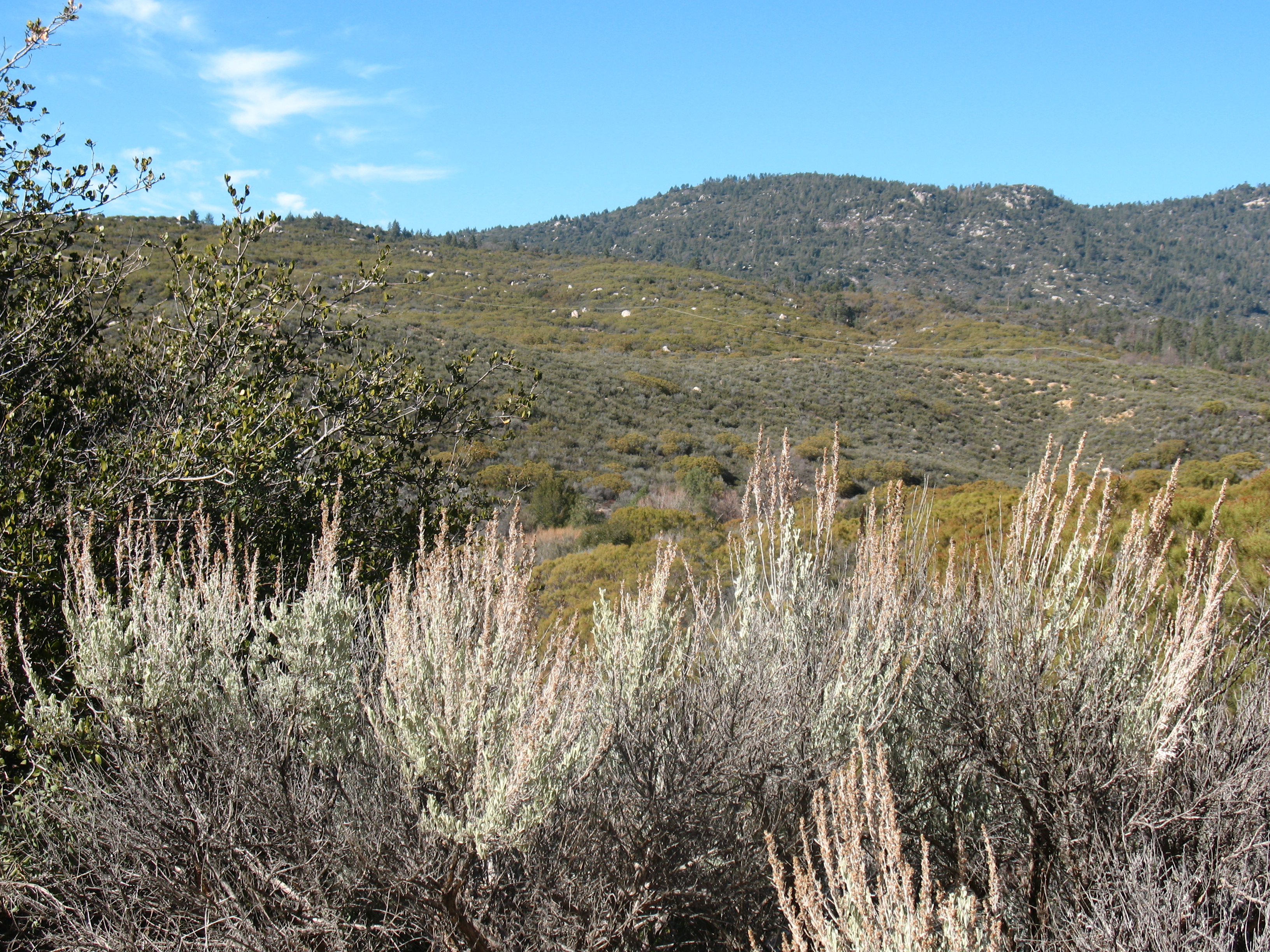
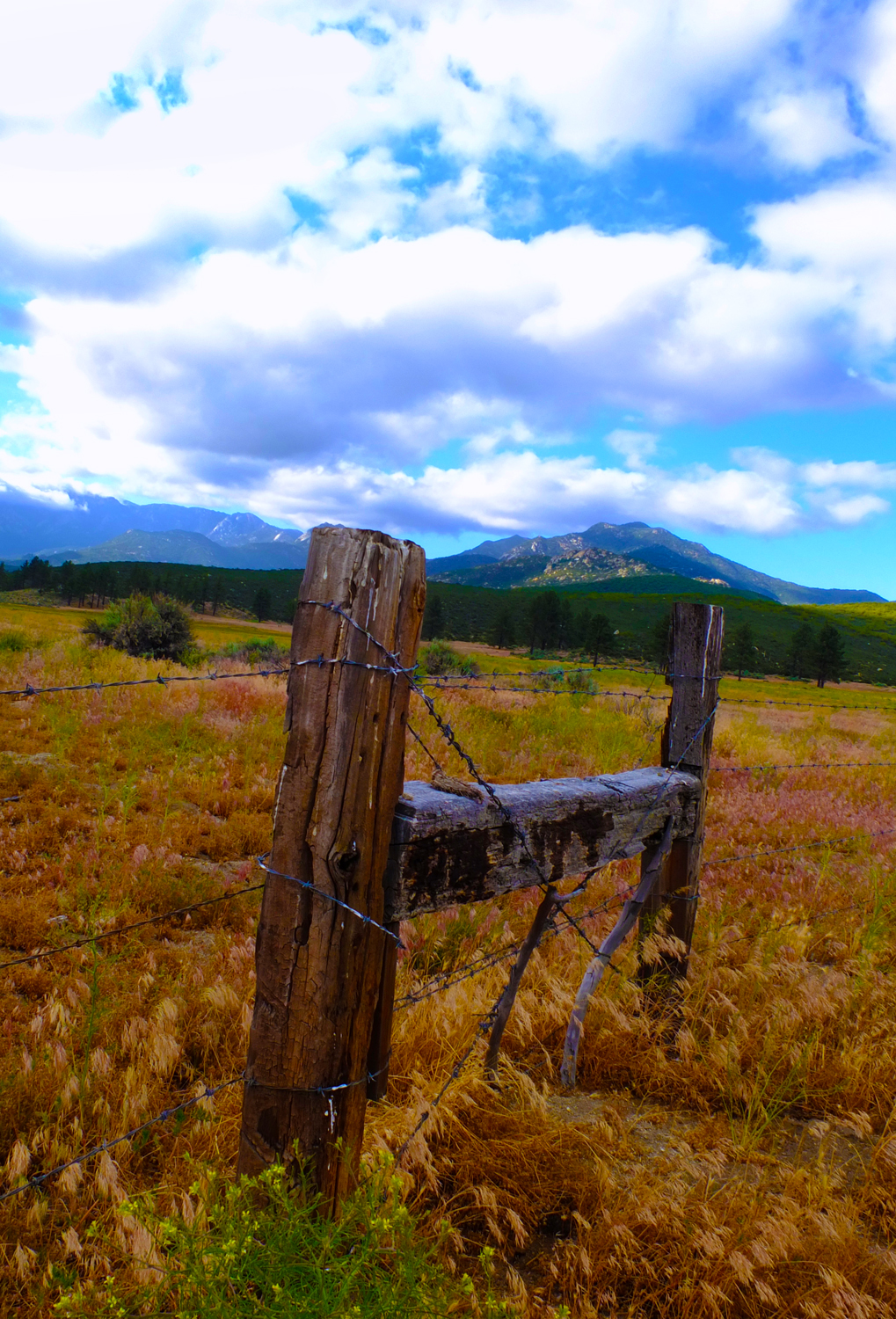
Beyond The Barbed Wire Fence

2018-07-25-035
DSC00146.JPG
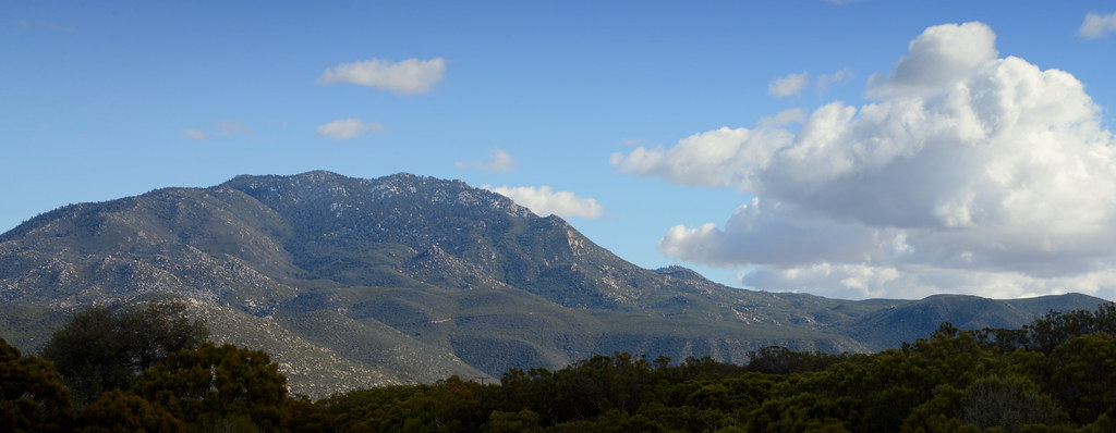
Sunset, Cahuilla Mountain

Saddleback from Cahuilla Mountain
High Desert Morning
Forbidden Open Space

Aventure en montagne
DSC00147.JPG

20120729-C37S5505.jpg
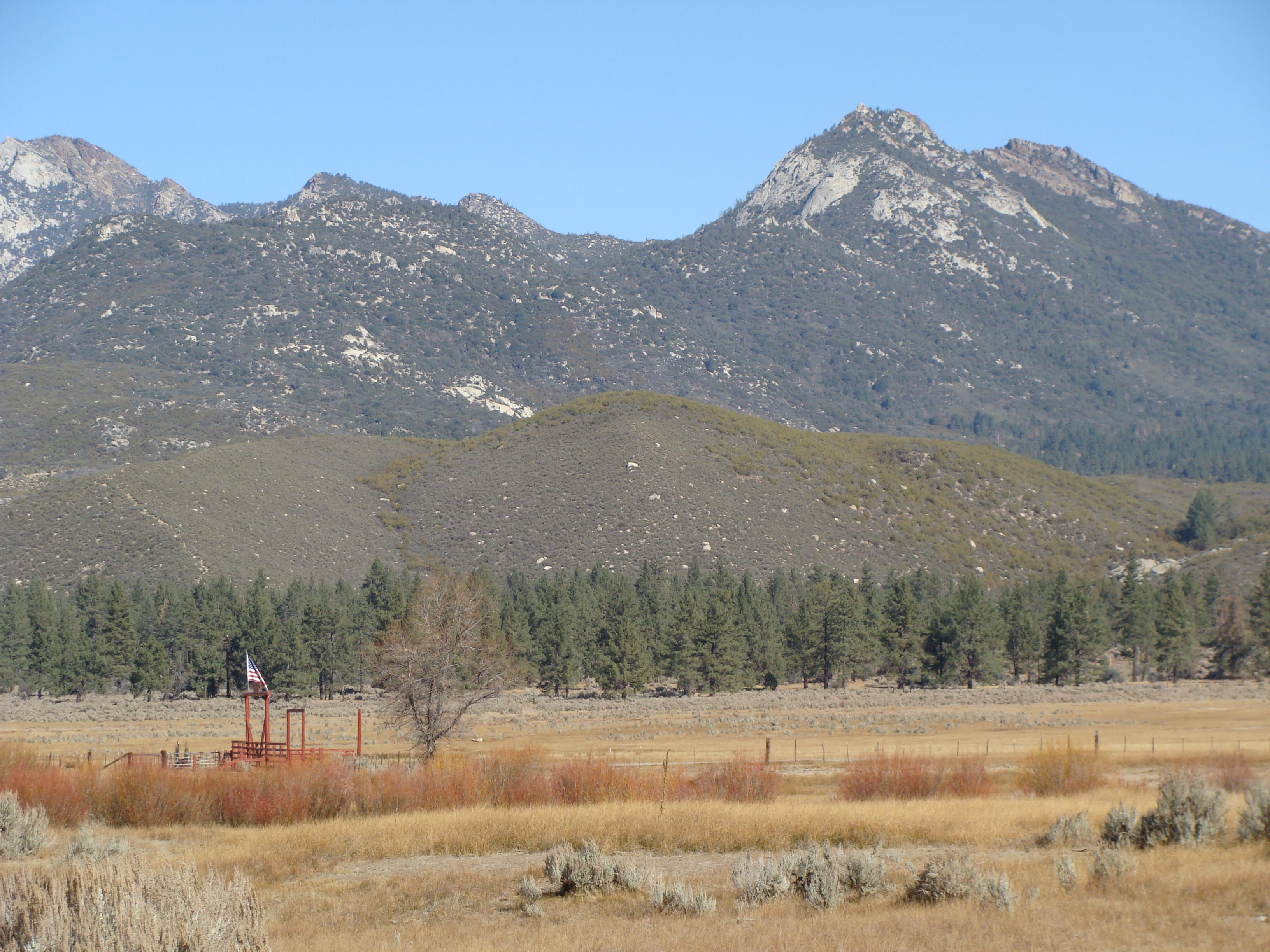
Santa Rosa Mountain with dusting of snow, Southern California
Pinyon Storm Clouds

Pacific Crest Trail, 2018
DSC00162.JPG
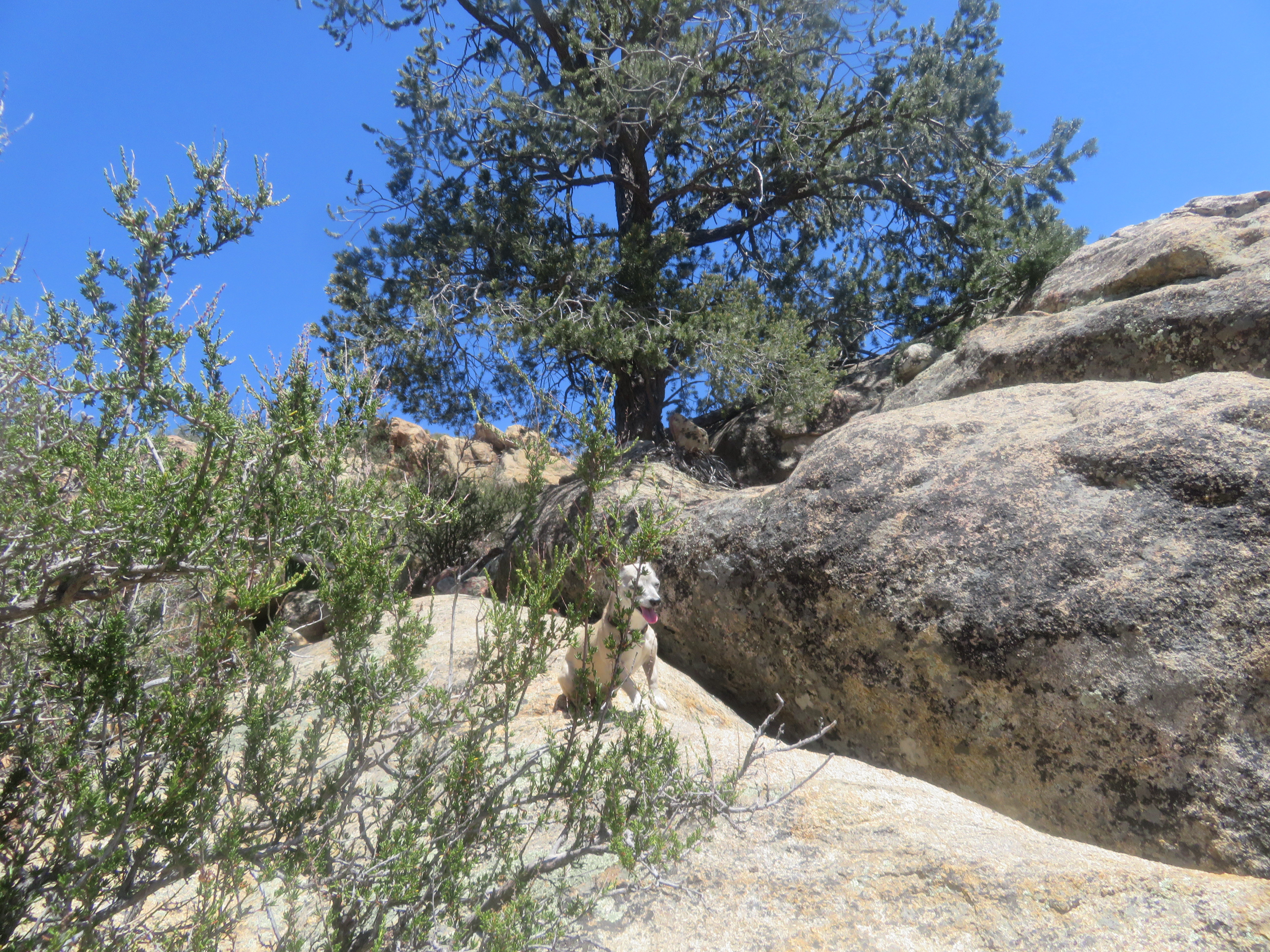
Jasmine's piece of the rock.
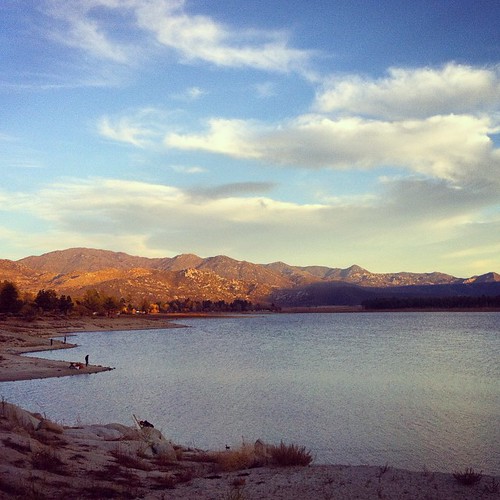
Trees...and water! Oh, how I've missed you!
Topographic Map of Bohlen Rd, Anza, CA, USA
Find elevation by address:

Places near Bohlen Rd, Anza, CA, USA:
59301 Courtesy Dr
CA-74, Mountain Center, CA, USA
Pathfinder Ranch
26800 Saunders Meadow Rd
54401 Tahquitz View Dr
55055 Strong Dr
55165 Strong Dr
Silver Pines Lodge
Idyllwild-pine Cove
54380 N Circle Dr
Idyllwild Vacation Cabins
25620 Tahquitz Dr
North Circle Drive
Buck Drive
69726 Indio Ave
CA-74, Mountain Center, CA, USA
Santa Rosa And San Jacinto Mountains National Monument
Cholla Way, Palm Desert, CA, USA
71580 Gardess Rd
Calle De Los Campesinos
Recent Searches:
- Elevation of Corso Fratelli Cairoli, 35, Macerata MC, Italy
- Elevation of Tallevast Rd, Sarasota, FL, USA
- Elevation of 4th St E, Sonoma, CA, USA
- Elevation of Black Hollow Rd, Pennsdale, PA, USA
- Elevation of Oakland Ave, Williamsport, PA, USA
- Elevation of Pedrógão Grande, Portugal
- Elevation of Klee Dr, Martinsburg, WV, USA
- Elevation of Via Roma, Pieranica CR, Italy
- Elevation of Tavkvetili Mountain, Georgia
- Elevation of Hartfords Bluff Cir, Mt Pleasant, SC, USA