Elevation of Pathfinder Ranch, Pathfinder Rd, Mountain Center, CA, USA
Location: United States > California > Riverside County > Mountain Center >
Longitude: -116.59767
Latitude: 33.6023902
Elevation: 1401m / 4596feet
Barometric Pressure: 86KPa
Elevation Map:
Satellite Map:
Related Photos:

View of Mt San Jacinto from the PCT.

WR137 Tule Creek (early season)

San Jacinto from Santa Rosa Mtn SW Spur Military Crest

Bodey enjoys the view of the Santa Rosa Mtns

San Diego View from Santa Rosa Mountain SW Spur, Military Crest

Santa Rosa Mountain SW Spur, North Panorama

Santa Rosa Mountain SW Spur, SW Panorama

Snow covered San Jacinto high country note

Santa Rosa Mountain SW Spur N Panorama

Girl Scout Camp Joe Sherman, San Jacinto Mountains

View to the north

View to the north

View from above

Bodey enjoying the view

Mt. Woodson & Black Mountain (Poway) view from Santa Rosa Mountain, SW Spur, Military Crest

Buzz the Bloom

0175 PCT north of Route 74 - panorama view south toward Toro Peak

Mountain Meadow

PCT signage

PCT north to Live Oak Spring May 2018

View from the trading post

Tahquitz Peak

Tropical Desert

Pacific Crest Trail at about 5100 ft elev

Desert Plateau

Air Tanker 912 making a Drop on the Anza Fire

Above the Palm Oasis

Making the Drop

Jasmine's piece of the rock.

Beyond The Barbed Wire Fence

on the road to Idyllwild

big sky

Palms in the desert

Palm Canyon Trail
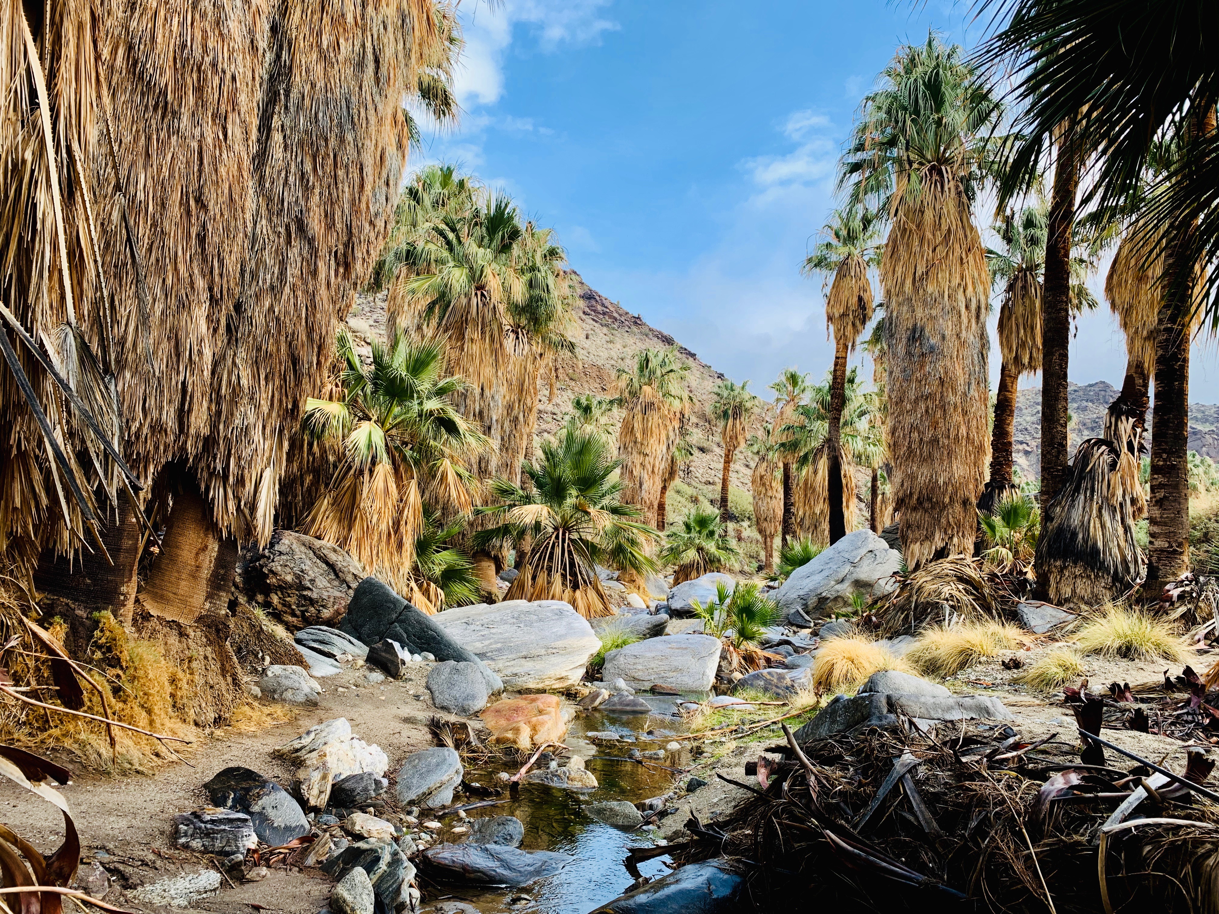
Palm Canyon in Palm Springs, California

#MountainFire

#MountainFire
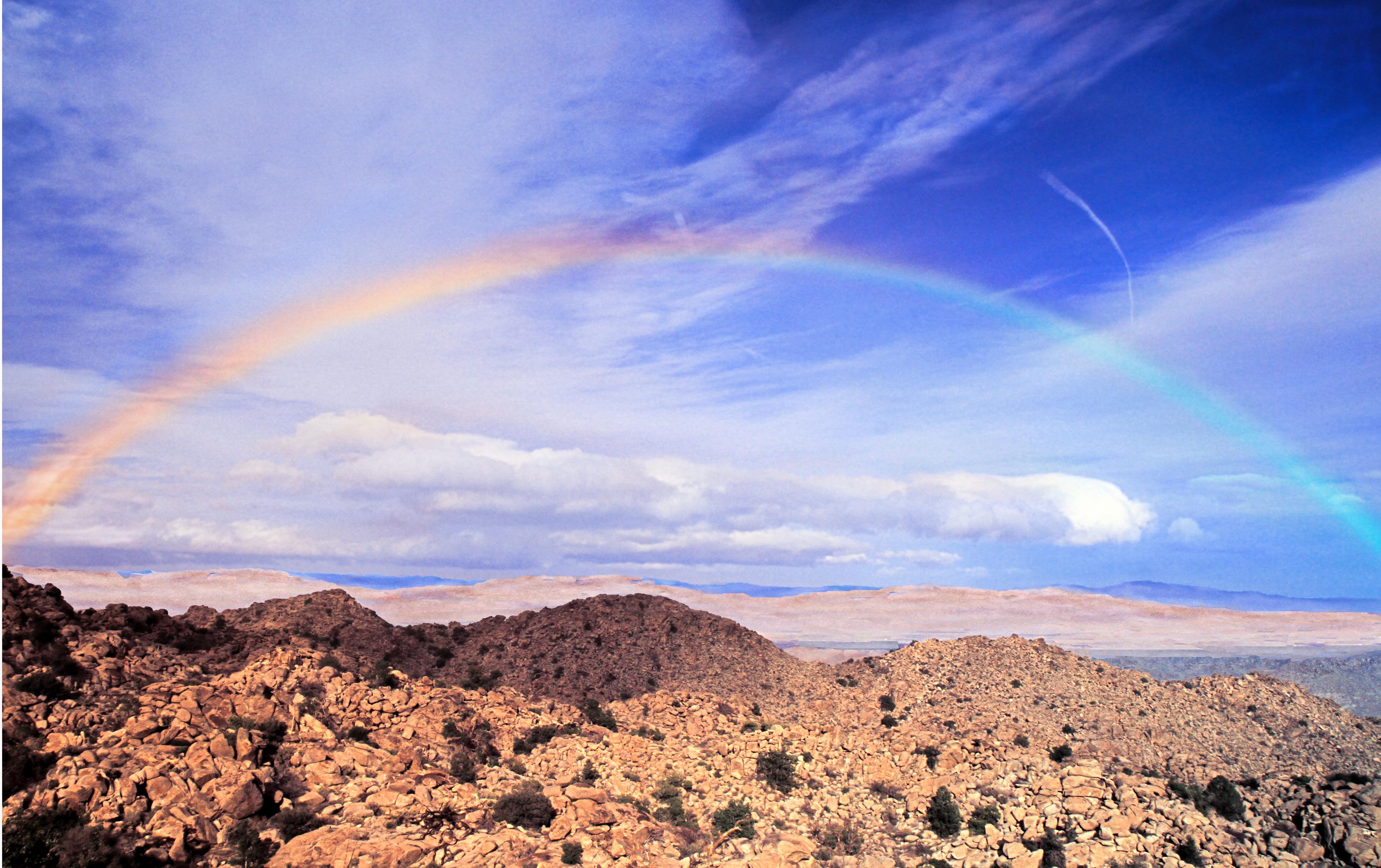
Desert Rainbow

Pacific Crest Trail

Santa Rosa and San Jacinto National Monument
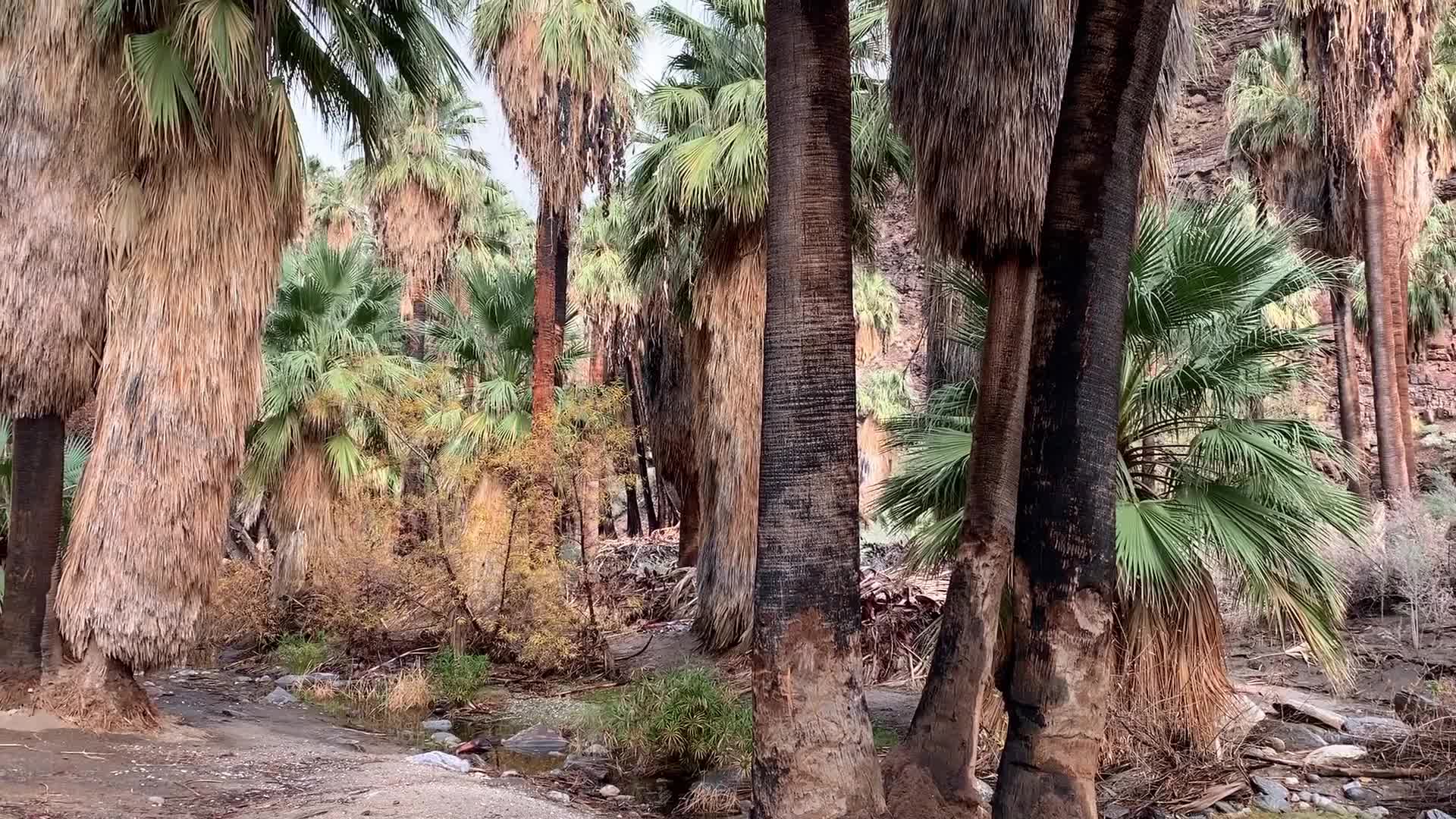
Palm Canyon in Palm Springs, California
Topographic Map of Pathfinder Ranch, Pathfinder Rd, Mountain Center, CA, USA
Find elevation by address:

Places near Pathfinder Ranch, Pathfinder Rd, Mountain Center, CA, USA:
CA-74, Mountain Center, CA, USA
59301 Courtesy Dr
37325 Bohlen Rd
Buck Drive
69726 Indio Ave
54401 Tahquitz View Dr
55055 Strong Dr
55165 Strong Dr
26800 Saunders Meadow Rd
CA-74, Mountain Center, CA, USA
Silver Pines Lodge
25620 Tahquitz Dr
North Circle Drive
54380 N Circle Dr
Idyllwild Vacation Cabins
Idyllwild-pine Cove
Santa Rosa And San Jacinto Mountains National Monument
Cholla Way, Palm Desert, CA, USA
Calle De Los Campesinos
71580 Gardess Rd
Recent Searches:
- Elevation of Corso Fratelli Cairoli, 35, Macerata MC, Italy
- Elevation of Tallevast Rd, Sarasota, FL, USA
- Elevation of 4th St E, Sonoma, CA, USA
- Elevation of Black Hollow Rd, Pennsdale, PA, USA
- Elevation of Oakland Ave, Williamsport, PA, USA
- Elevation of Pedrógão Grande, Portugal
- Elevation of Klee Dr, Martinsburg, WV, USA
- Elevation of Via Roma, Pieranica CR, Italy
- Elevation of Tavkvetili Mountain, Georgia
- Elevation of Hartfords Bluff Cir, Mt Pleasant, SC, USA