Elevation of Chapin, IL, USA
Location: United States > Illinois > Morgan County >
Longitude: -90.4219444
Latitude: 39.7850935
Elevation: 186m / 610feet
Barometric Pressure: 0KPa
Related Photos:

Winter Sunset
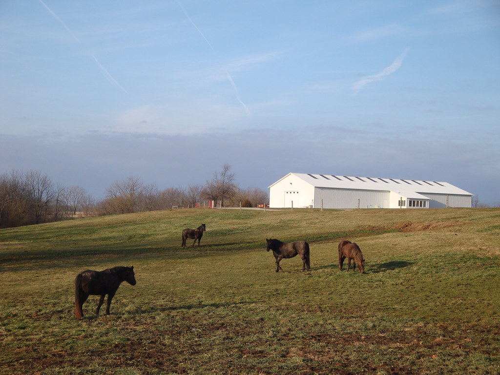
4 horses and a barn

Week 20
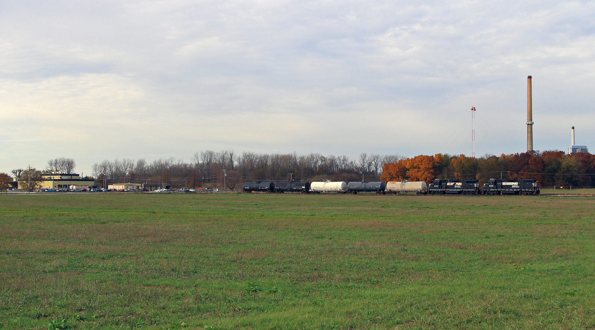
Shovin' into the Plant

Moon 3

Pastel Sunrise
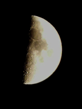
Moon 1

Moon 2
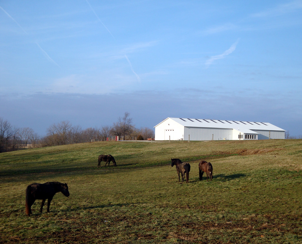
4 horses and a barn
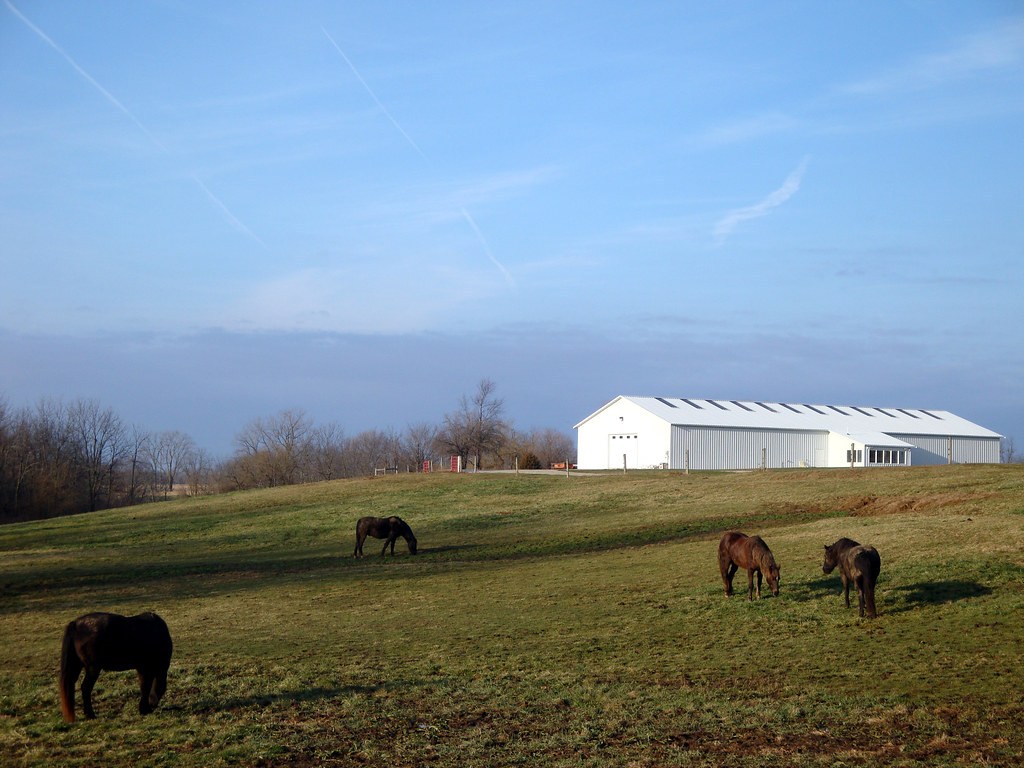
4 horses and a barn
100_3542-1408376869-O

Bean Family Centennial Farm in 2010

High Hood Silhouette

Wedding fun #eatdrinkandbeharris

#illinois #farm #clouds
Topographic Map of Chapin, IL, USA
Find elevation by address:

Places in Chapin, IL, USA:
Places near Chapin, IL, USA:
US-67, Chapin, IL, USA
Chapin
Merritt
Merritt Blacktop Rd, Winchester, IL, USA
Miller St, Arenzville, IL, USA
Arenzville
1384 Rutherford Rd
1374 Rutherford Rd
Meredosia
854 Taylor Ln
854 Taylor Ln
Winchester
2 S Main St, Winchester, IL, USA
502 Locust St
Bloomfield
Arenzville Township
14 N Grand Ave
Scott County
974 Lonergan Ln
974 Lonergan Ln
Recent Searches:
- Elevation map of Nagano Prefecture, Japan
- Elevation of 587, Bascule Drive, Oakdale, Stanislaus County, California, 95361, USA
- Elevation of Stadion Wankdorf, Sempachstrasse, Breitfeld, Bern, Bern-Mittelland administrative district, Bern, 3014, Switzerland
- Elevation of Z024, 76, Emil-von-Behring-Straße, Marbach, Marburg, Landkreis Marburg-Biedenkopf, Hesse, 35041, Germany
- Elevation of Gaskill Road, Hunts Cross, Liverpool, England, L24 9PH, United Kingdom
- Elevation of Speke, Liverpool, England, L24 9HD, United Kingdom
- Elevation of Seqirus, 475, Green Oaks Parkway, Holly Springs, Wake County, North Carolina, 27540, USA
- Elevation of Pasing, Munich, Bavaria, 81241, Germany
- Elevation of 24, Auburn Bay Crescent SE, Auburn Bay, Calgary, Alberta, T3M 0A6, Canada
- Elevation of Denver, 2314, Arapahoe Street, Five Points, Denver, Colorado, 80205, USA
- Elevation of Community of the Beatitudes, 2924, West 43rd Avenue, Sunnyside, Denver, Colorado, 80211, USA
- Elevation map of Litang County, Sichuan, China
- Elevation map of Madoi County, Qinghai, China
- Elevation of 3314, Ohio State Route 114, Payne, Paulding County, Ohio, 45880, USA
- Elevation of Sarahills Drive, Saratoga, Santa Clara County, California, 95070, USA
- Elevation of Town of Bombay, Franklin County, New York, USA
- Elevation of 9, Convent Lane, Center Moriches, Suffolk County, New York, 11934, USA
- Elevation of Saint Angelas Convent, 9, Convent Lane, Center Moriches, Suffolk County, New York, 11934, USA
- Elevation of 131st Street Southwest, Mukilteo, Snohomish County, Washington, 98275, USA
- Elevation of 304, Harrison Road, Naples, Cumberland County, Maine, 04055, USA