Elevation of Taylor Ln, Winchester, IL, USA
Location: United States > Illinois > Scott County > Bloomfield >
Longitude: -90.492521
Latitude: 39.6444212
Elevation: 169m / 554feet
Barometric Pressure: 99KPa
Elevation Map:
Satellite Map:
Related Photos:

Yes, I Have Seen The Rain (Explored)

D31 working Bluffs - Pt.2
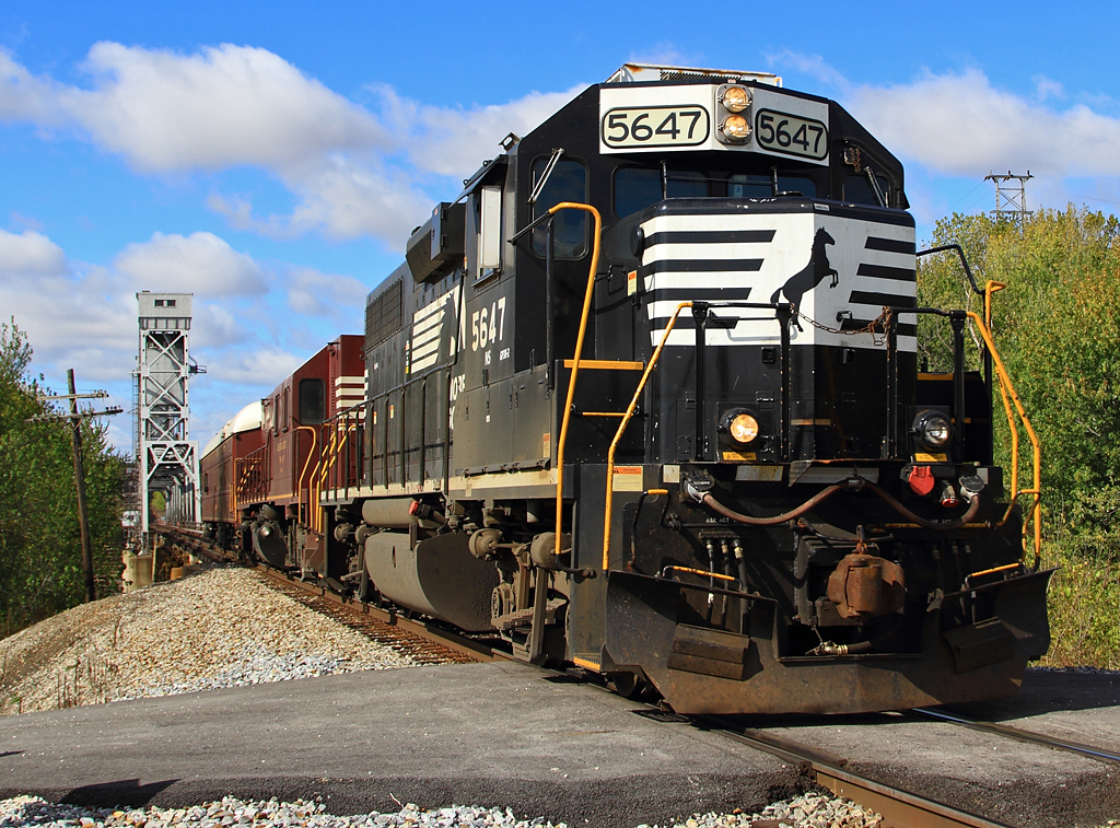
NS #904 at Valley City - Pt. 4
First State Bank, Winchester, Illinois
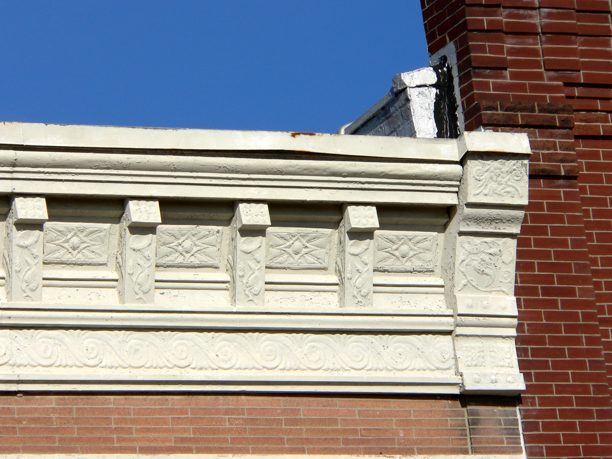
First State Bank, Winchester, Illinois

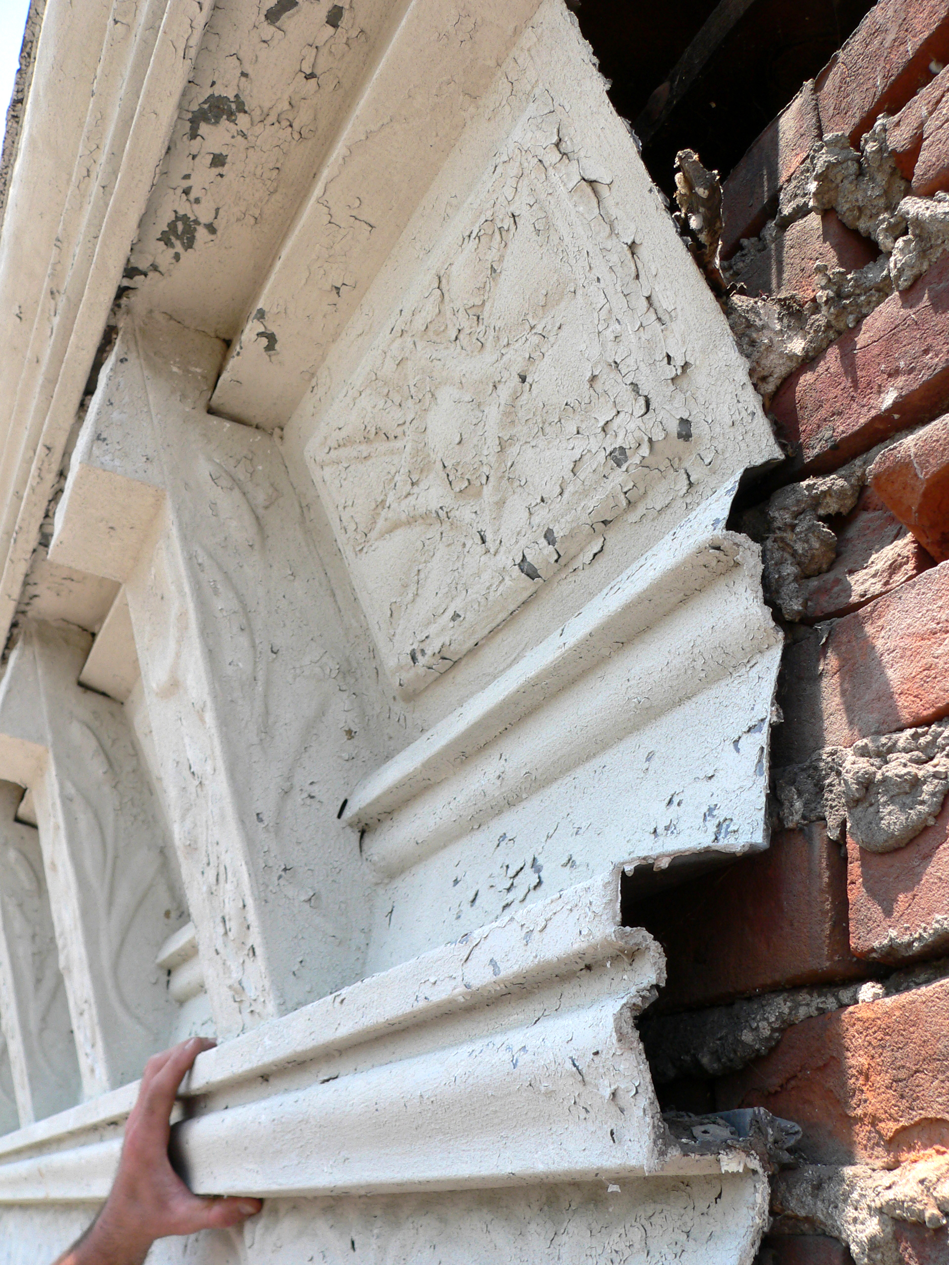
Frank's Stub Job

NS 5042 Roster Shot at Bluffs

High Hood Silhouette

#illinois #farm #clouds

Bean Family Centennial Farm in 2010
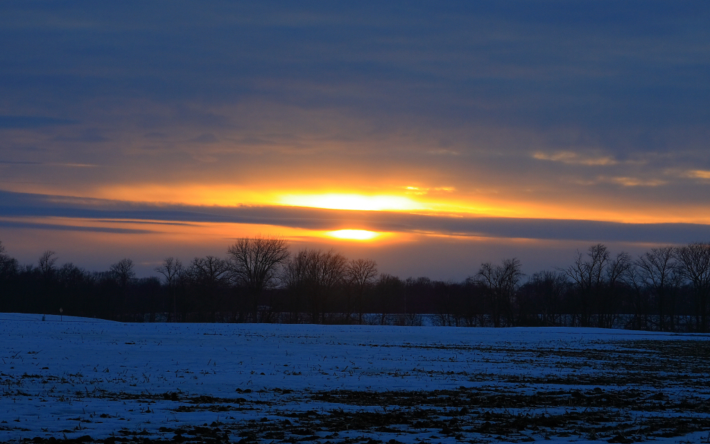
Winter Sunset
Topographic Map of Taylor Ln, Winchester, IL, USA
Find elevation by address:

Places near Taylor Ln, Winchester, IL, USA:
854 Taylor Ln
Scott County
Winchester
2 S Main St, Winchester, IL, USA
Bloomfield
1374 Il-100
Glasgow
Alsey, IL, USA
Alsey
Main St, Alsey, IL, USA
Merritt Blacktop Rd, Winchester, IL, USA
1374 Rutherford Rd
1384 Rutherford Rd
Merritt
Alsey Township
US-67, Chapin, IL, USA
Chapin
Chapin
Valley City
E, Griggsville, IL, USA
Recent Searches:
- Elevation of Corso Fratelli Cairoli, 35, Macerata MC, Italy
- Elevation of Tallevast Rd, Sarasota, FL, USA
- Elevation of 4th St E, Sonoma, CA, USA
- Elevation of Black Hollow Rd, Pennsdale, PA, USA
- Elevation of Oakland Ave, Williamsport, PA, USA
- Elevation of Pedrógão Grande, Portugal
- Elevation of Klee Dr, Martinsburg, WV, USA
- Elevation of Via Roma, Pieranica CR, Italy
- Elevation of Tavkvetili Mountain, Georgia
- Elevation of Hartfords Bluff Cir, Mt Pleasant, SC, USA