Elevation of US-67, Chapin, IL, USA
Location: United States > Illinois > Morgan County > Chapin > Chapin >
Longitude: -90.4207034
Latitude: 39.7744773
Elevation: 192m / 630feet
Barometric Pressure: 0KPa
Related Photos:
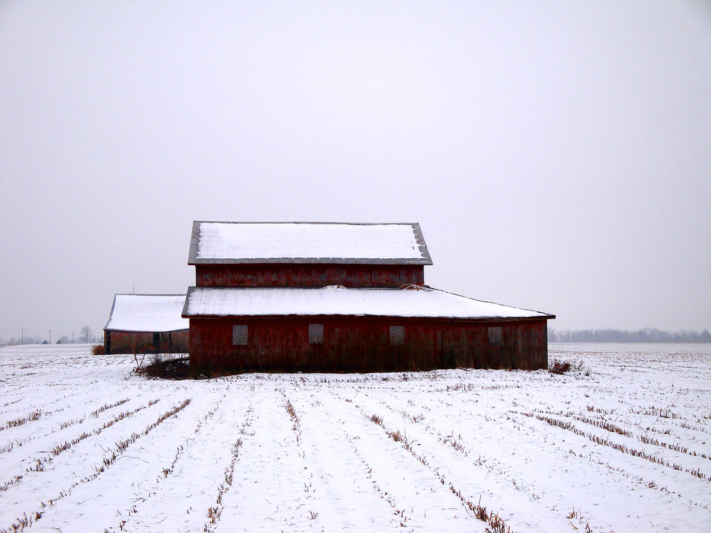
maple view barns in winter
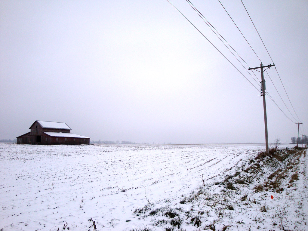
maple view barn and power poles
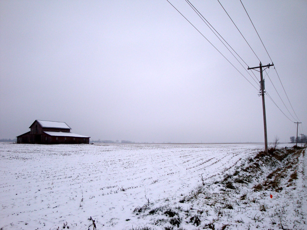
maple view barn and power poles
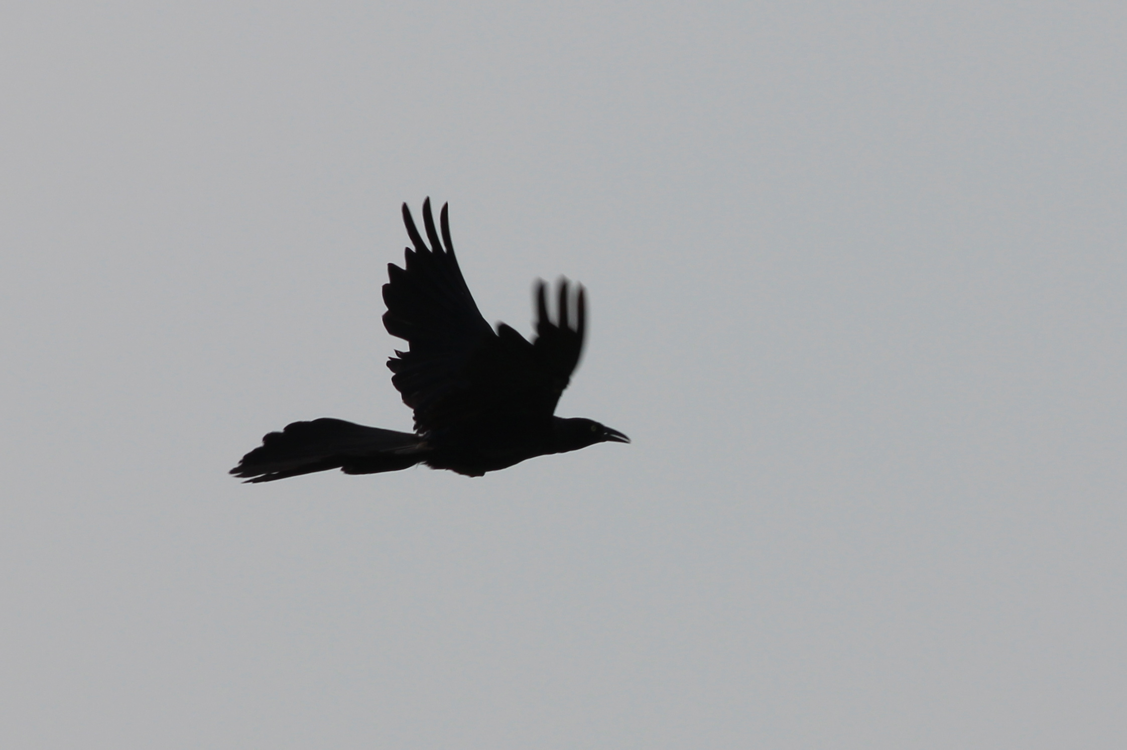
Great-tailed Grackle
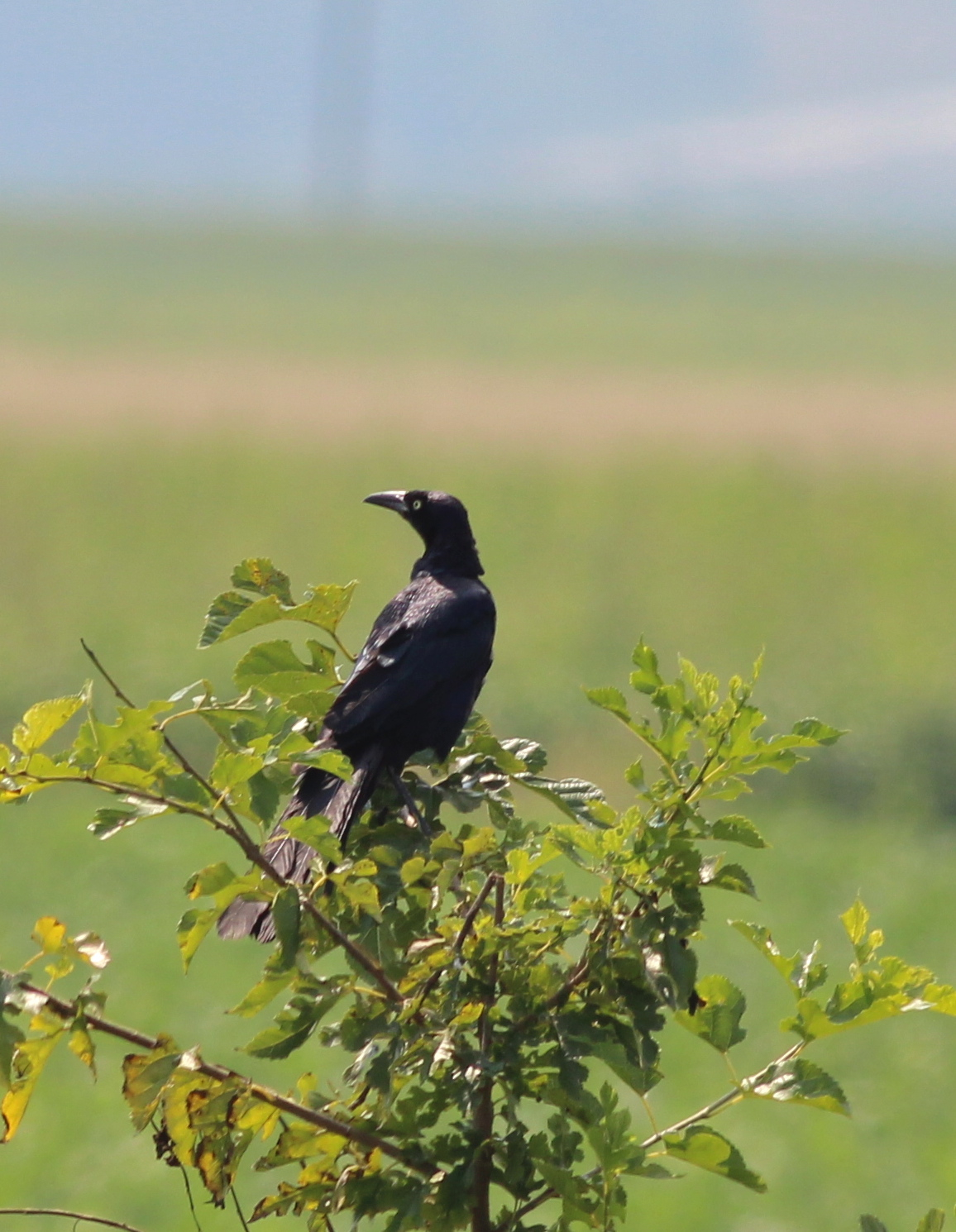
Great-tailed Grackle

Front view,

Side view

D31 working Bluffs - Pt.2

NS 5042 Roster Shot at Bluffs

Yertle the Turtle at Meredosia National Wildlife Refuge

Frank's Stub Job
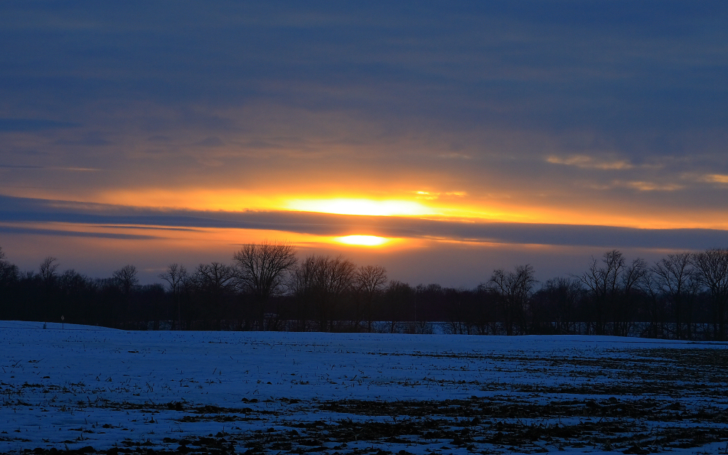
Winter Sunset
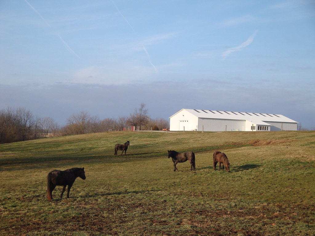
4 horses and a barn

Week 20
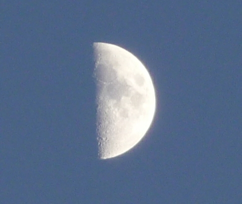
Moon 3

Pastel Sunrise
Moon 1

Moon 2
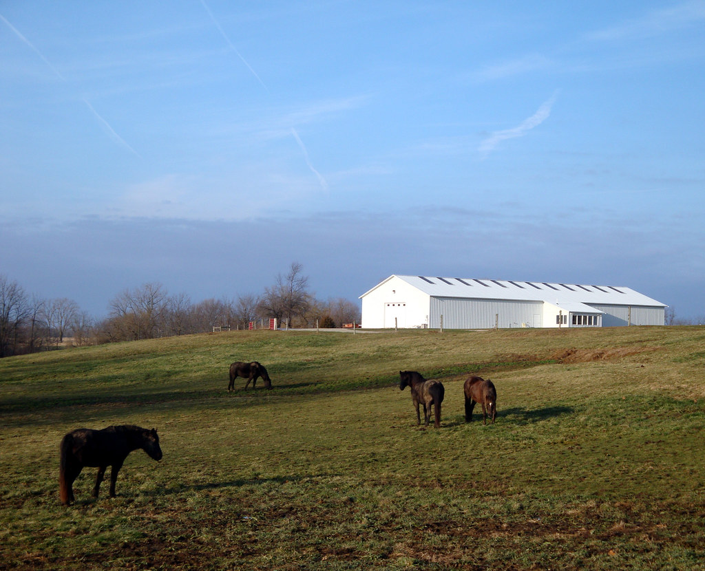
4 horses and a barn
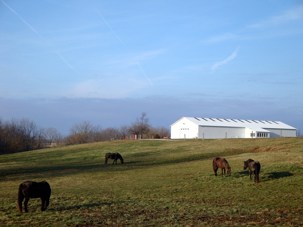
4 horses and a barn
100_3542-1408376869-O
Wedding fun #eatdrinkandbeharris
Shovin' into the Plant

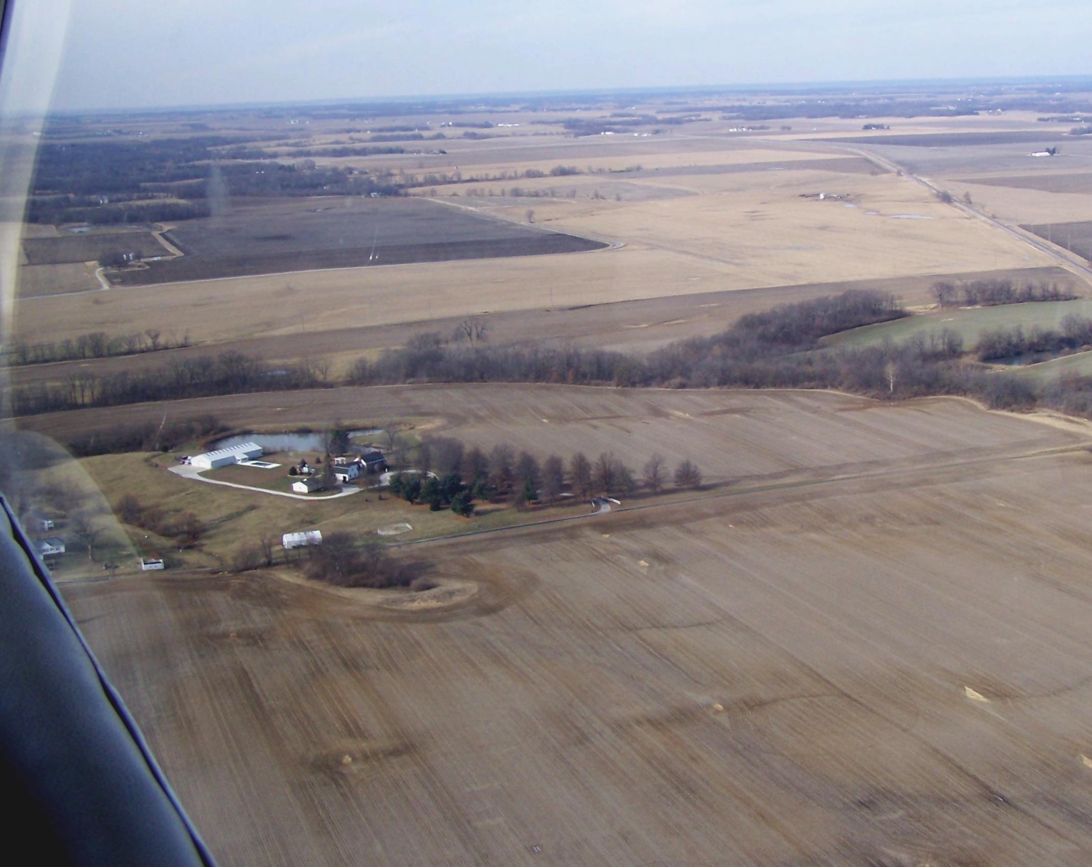
Bean Family Centennial Farm in 2010

High Hood Silhouette

#illinois #farm #clouds
Topographic Map of US-67, Chapin, IL, USA
Find elevation by address:

Places near US-67, Chapin, IL, USA:
Chapin
Chapin
Merritt
Merritt Blacktop Rd, Winchester, IL, USA
1384 Rutherford Rd
1374 Rutherford Rd
Miller St, Arenzville, IL, USA
Arenzville
854 Taylor Ln
854 Taylor Ln
Winchester
2 S Main St, Winchester, IL, USA
Meredosia
502 Locust St
Bloomfield
14 N Grand Ave
Arenzville Township
Scott County
974 Lonergan Ln
974 Lonergan Ln
Recent Searches:
- Elevation of 4655, Krischke Road, Schulenburg, Fayette County, Texas, 78956, USA
- Elevation of Carnegie Avenue, Downtown Cleveland, Cleveland, Cuyahoga County, Ohio, 44115, USA
- Elevation of Walhonding, Coshocton County, Ohio, USA
- Elevation of Clifton Down, Clifton, Bristol, City of Bristol, England, BS8 3HU, United Kingdom
- Elevation map of Auvergne-Rhône-Alpes, France
- Elevation map of Upper Savoy, Auvergne-Rhône-Alpes, France
- Elevation of Chamonix-Mont-Blanc, Upper Savoy, Auvergne-Rhône-Alpes, France
- Elevation of 908, Northwood Drive, Bridge Field, Chesapeake, Virginia, 23322, USA
- Elevation map of Nagano Prefecture, Japan
- Elevation of 587, Bascule Drive, Oakdale, Stanislaus County, California, 95361, USA
- Elevation of Stadion Wankdorf, Sempachstrasse, Breitfeld, Bern, Bern-Mittelland administrative district, Bern, 3014, Switzerland
- Elevation of Z024, 76, Emil-von-Behring-Straße, Marbach, Marburg, Landkreis Marburg-Biedenkopf, Hesse, 35041, Germany
- Elevation of Gaskill Road, Hunts Cross, Liverpool, England, L24 9PH, United Kingdom
- Elevation of Speke, Liverpool, England, L24 9HD, United Kingdom
- Elevation of Seqirus, 475, Green Oaks Parkway, Holly Springs, Wake County, North Carolina, 27540, USA
- Elevation of Pasing, Munich, Bavaria, 81241, Germany
- Elevation of 24, Auburn Bay Crescent SE, Auburn Bay, Calgary, Alberta, T3M 0A6, Canada
- Elevation of Denver, 2314, Arapahoe Street, Five Points, Denver, Colorado, 80205, USA
- Elevation of Community of the Beatitudes, 2924, West 43rd Avenue, Sunnyside, Denver, Colorado, 80211, USA
- Elevation map of Litang County, Sichuan, China