Elevation of Meredosia, IL, USA
Location: United States > Illinois > Morgan County >
Longitude: -90.559570
Latitude: 39.8311579
Elevation: 136m / 446feet
Barometric Pressure: 100KPa
Elevation Map:
Satellite Map:
Related Photos:

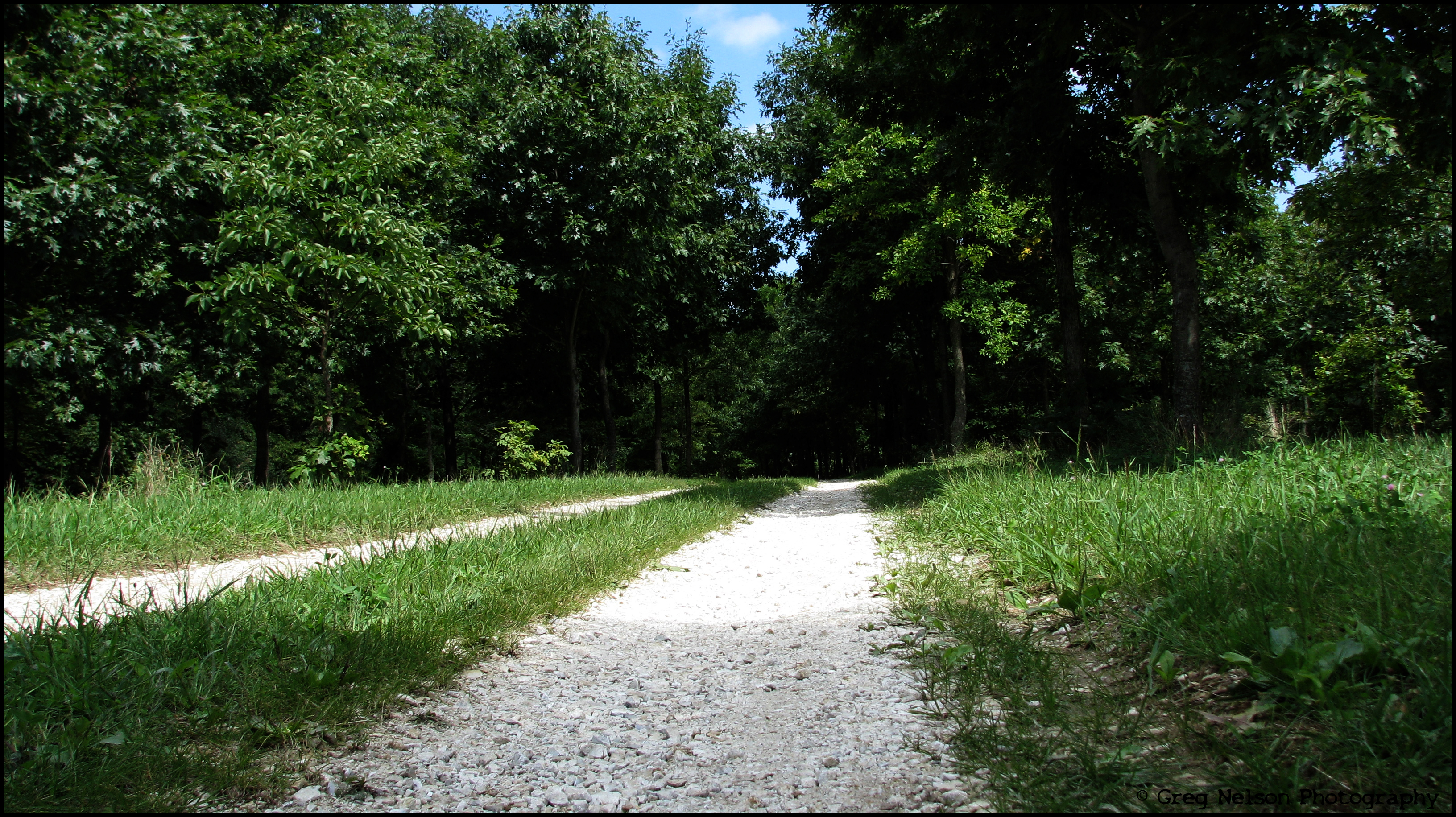
D31 working Bluffs - Pt.2
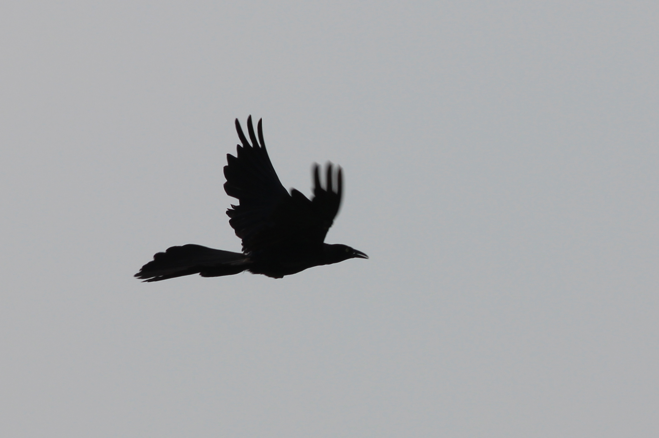
Great-tailed Grackle

NS 5042 Roster Shot at Bluffs
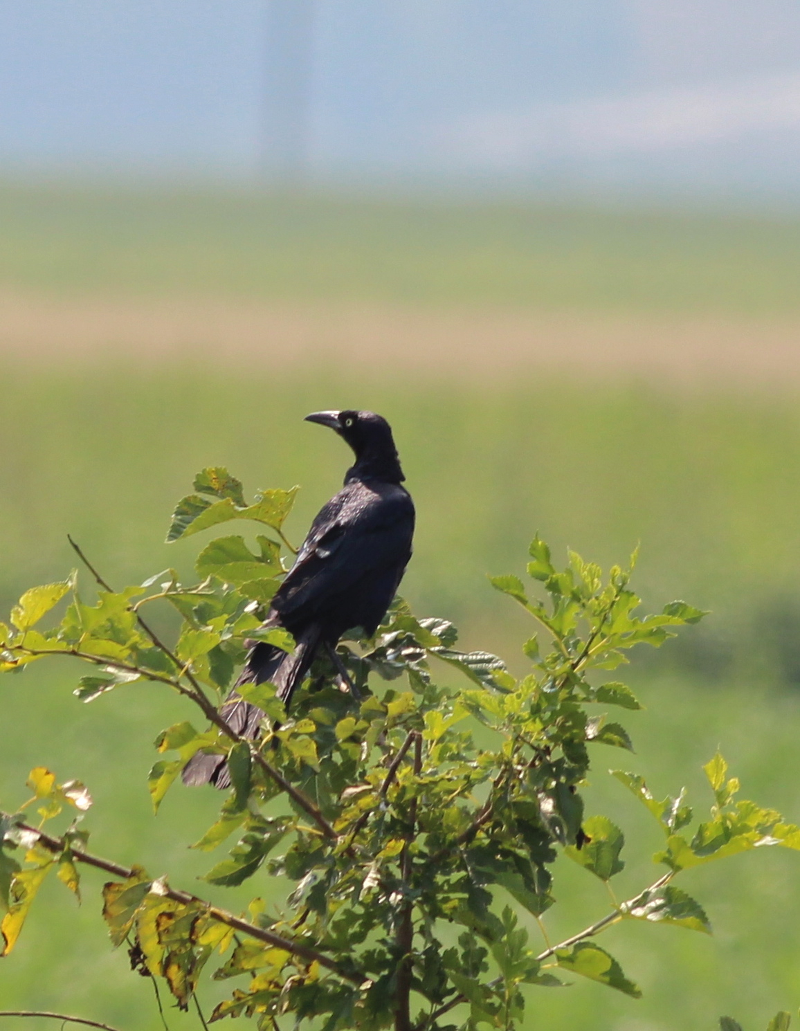
Great-tailed Grackle
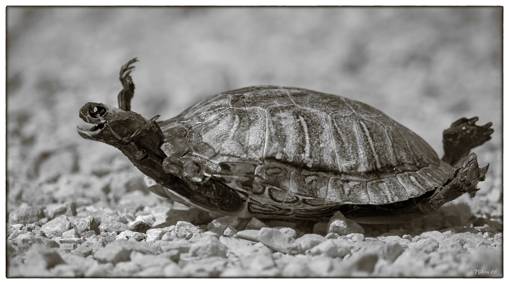
Yertle the Turtle at Meredosia National Wildlife Refuge

Frank's Stub Job
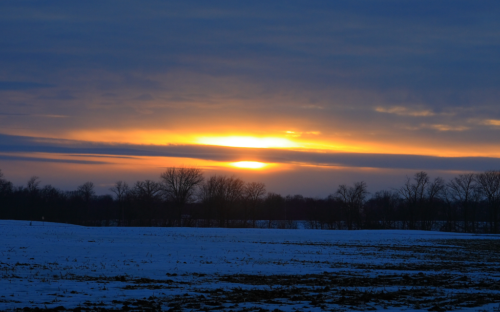
Winter Sunset
Greg's Cabin Trip 201
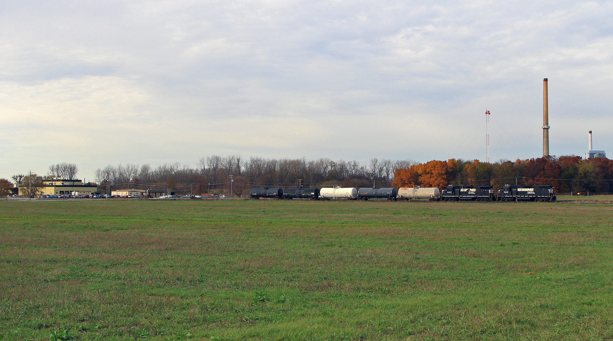
Shovin' into the Plant

High Hood Silhouette
Topographic Map of Meredosia, IL, USA
Find elevation by address:

Places near Meredosia, IL, USA:
Columbia St, Chambersburg, IL, USA
Chambersburg Township
Chapin
US-67, Chapin, IL, USA
Valley City
E, Griggsville, IL, USA
Bloomfield
County Rd N, Versailles, IL, USA
1374 Il-100
Flint Township
Chapin
Merritt
Perry Township
Elkhorn Township
Merritt Blacktop Rd, Winchester, IL, USA
Brown County
Miller St, Arenzville, IL, USA
Arenzville
Perry
W Maine St, Perry, IL, USA
Recent Searches:
- Elevation of Corso Fratelli Cairoli, 35, Macerata MC, Italy
- Elevation of Tallevast Rd, Sarasota, FL, USA
- Elevation of 4th St E, Sonoma, CA, USA
- Elevation of Black Hollow Rd, Pennsdale, PA, USA
- Elevation of Oakland Ave, Williamsport, PA, USA
- Elevation of Pedrógão Grande, Portugal
- Elevation of Klee Dr, Martinsburg, WV, USA
- Elevation of Via Roma, Pieranica CR, Italy
- Elevation of Tavkvetili Mountain, Georgia
- Elevation of Hartfords Bluff Cir, Mt Pleasant, SC, USA