Elevation of Merritt, IL, USA
Location: United States > Illinois > Scott County >
Longitude: -90.4219444
Latitude: 39.7232652
Elevation: 185m / 607feet
Barometric Pressure: 0KPa
Related Photos:

D31 working Bluffs - Pt.2
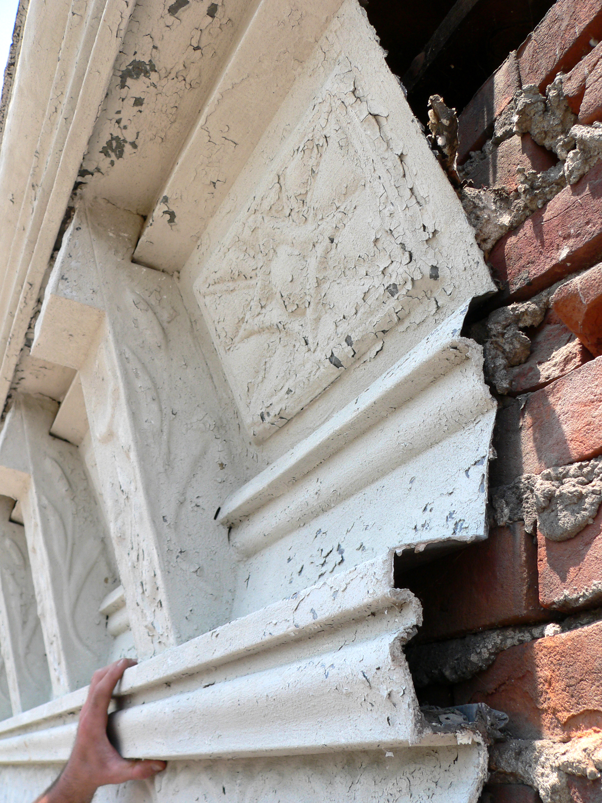
First State Bank, Winchester, Illinois
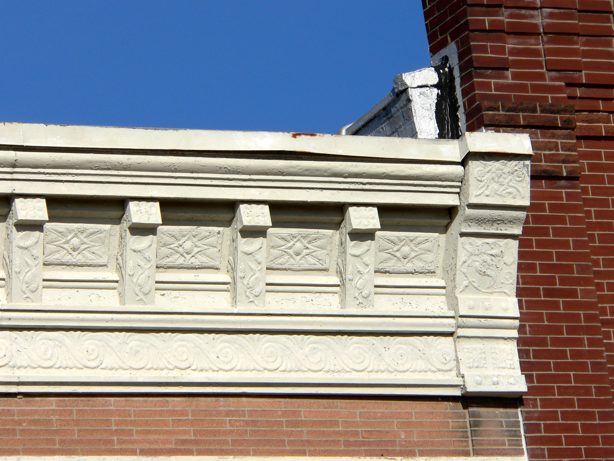
First State Bank, Winchester, Illinois

NS 5042 Roster Shot at Bluffs

Front view,

Side view

Wedding fun #eatdrinkandbeharris

Winter Sunset
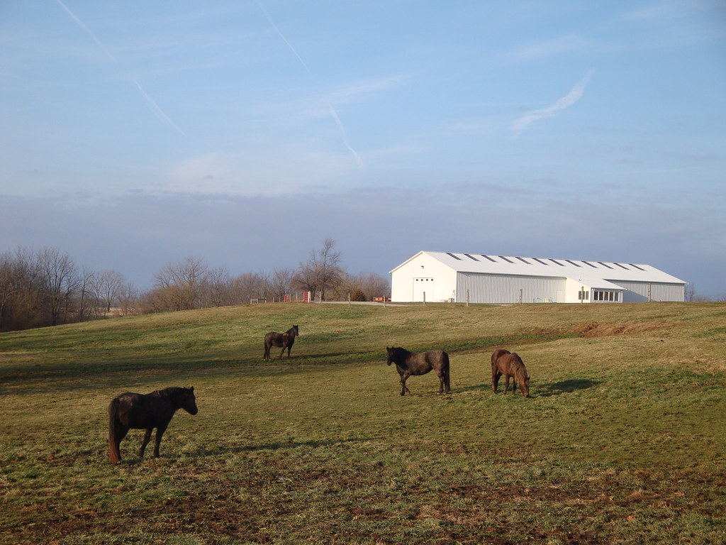
4 horses and a barn

Week 20

Moon 3

Pastel Sunrise
Moon 1

Moon 2
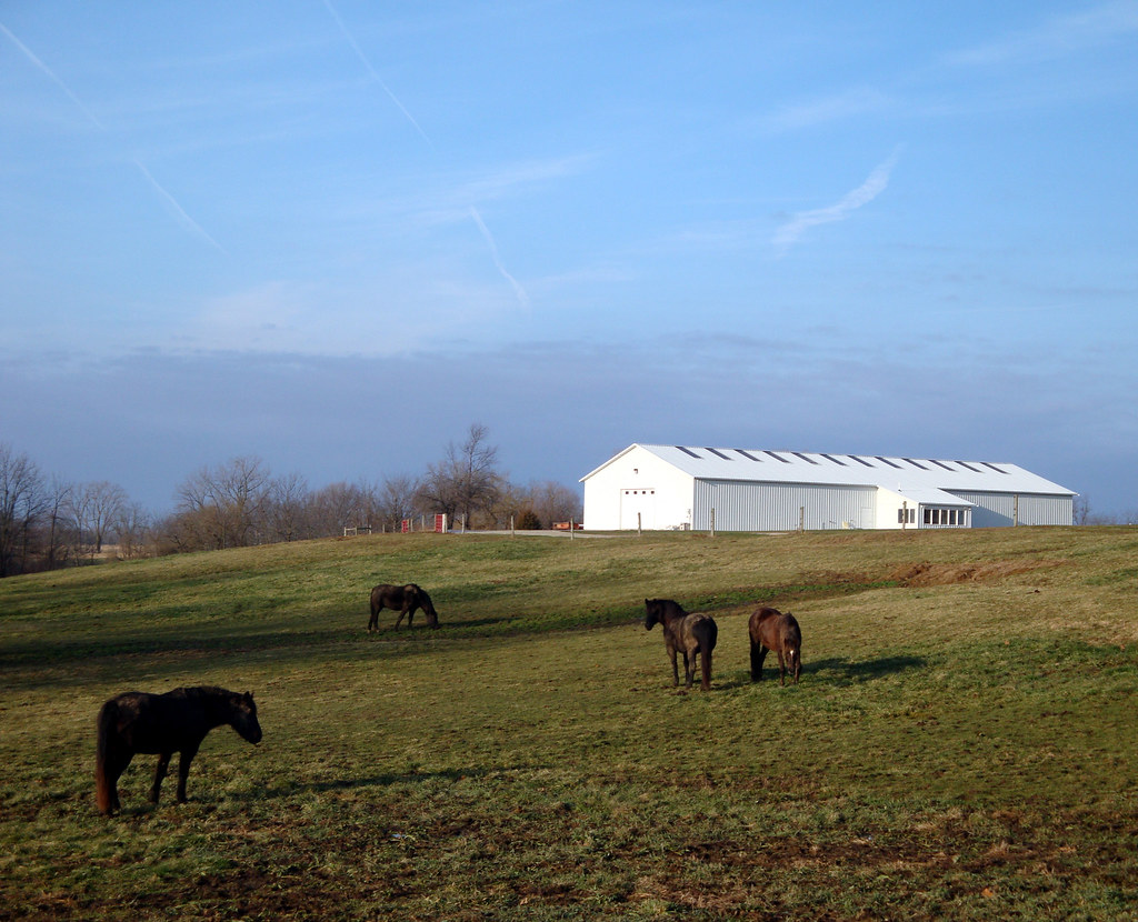
4 horses and a barn
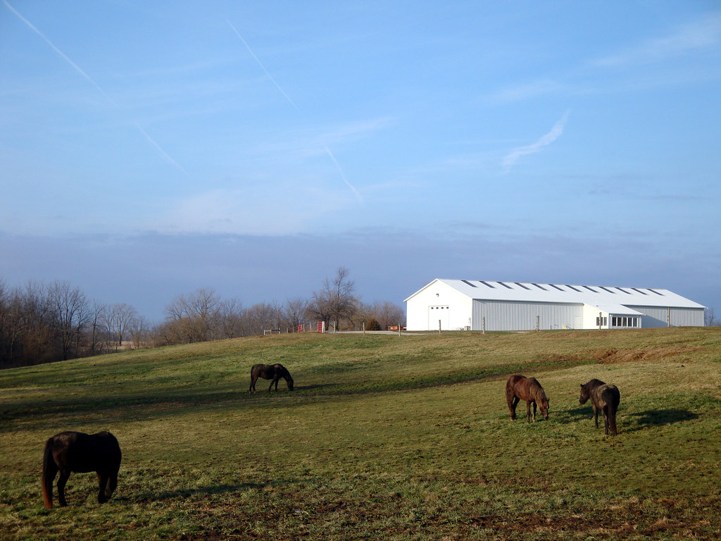
4 horses and a barn

Bean Family Centennial Farm in 2010

High Hood Silhouette

#illinois #farm #clouds
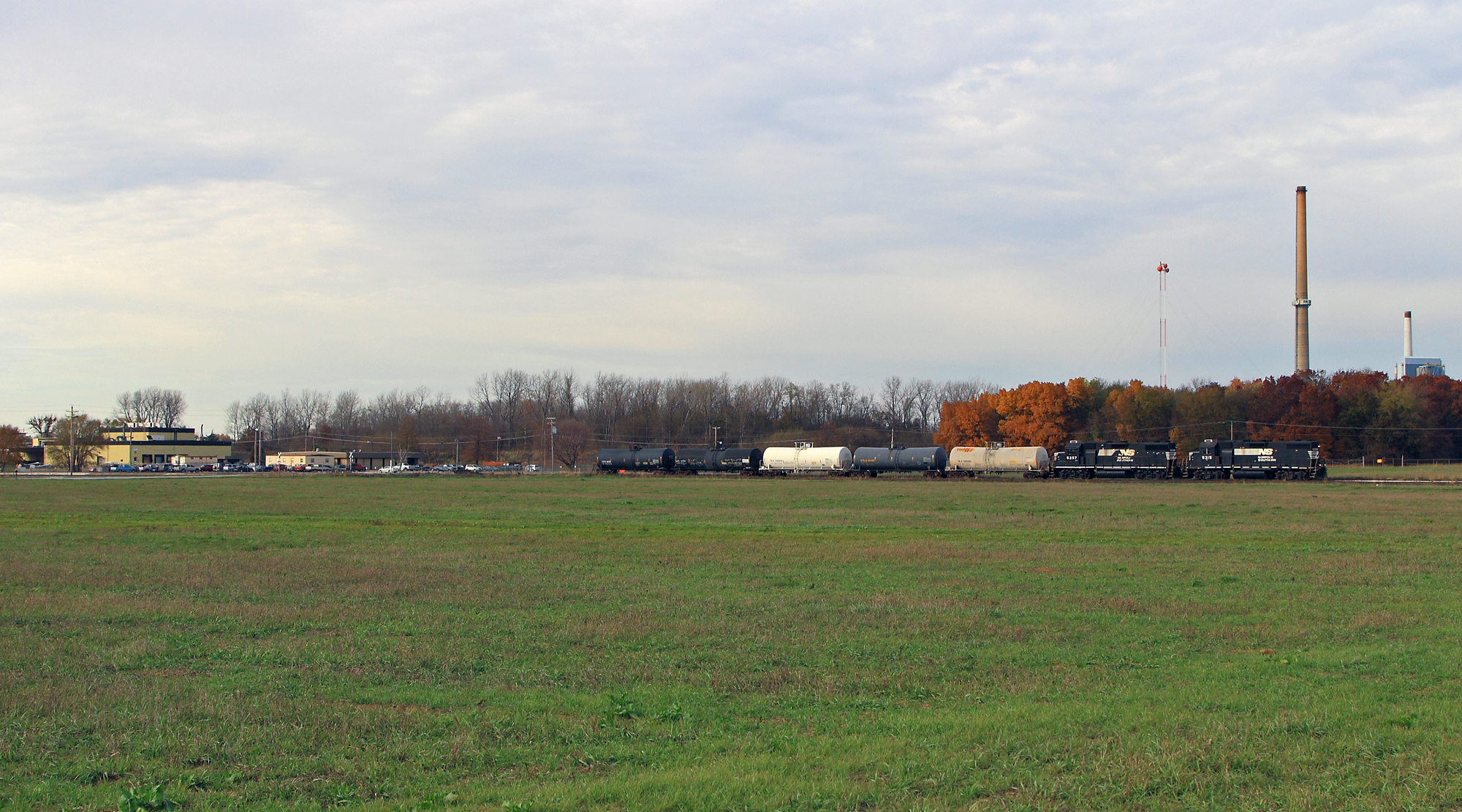
Shovin' into the Plant
Topographic Map of Merritt, IL, USA
Find elevation by address:

Places in Merritt, IL, USA:
Places near Merritt, IL, USA:
Merritt Blacktop Rd, Winchester, IL, USA
Chapin
US-67, Chapin, IL, USA
1384 Rutherford Rd
1374 Rutherford Rd
Chapin
Winchester
2 S Main St, Winchester, IL, USA
854 Taylor Ln
854 Taylor Ln
Scott County
Bloomfield
502 Locust St
974 Lonergan Ln
974 Lonergan Ln
Miller St, Arenzville, IL, USA
Arenzville
Alsey, IL, USA
1374 Il-100
Alsey
Recent Searches:
- Elevation of 116, Beartown Road, Underhill, Chittenden County, Vermont, 05489, USA
- Elevation of Window Rock, Colfax County, New Mexico, 87714, USA
- Elevation of 4807, Rosecroft Street, Kempsville Gardens, Virginia Beach, Virginia, 23464, USA
- Elevation map of Matawinie, Quebec, Canada
- Elevation of Sainte-Émélie-de-l'Énergie, Matawinie, Quebec, Canada
- Elevation of Rue du Pont, Sainte-Émélie-de-l'Énergie, Matawinie, Quebec, J0K2K0, Canada
- Elevation of 8, Rue de Bécancour, Blainville, Thérèse-De Blainville, Quebec, J7B1N2, Canada
- Elevation of Wilmot Court North, 163, University Avenue West, Northdale, Waterloo, Region of Waterloo, Ontario, N2L6B6, Canada
- Elevation map of Panamá Province, Panama
- Elevation of Balboa, Panamá Province, Panama
- Elevation of San Miguel, Balboa, Panamá Province, Panama
- Elevation of Isla Gibraleón, San Miguel, Balboa, Panamá Province, Panama
- Elevation of 4655, Krischke Road, Schulenburg, Fayette County, Texas, 78956, USA
- Elevation of Carnegie Avenue, Downtown Cleveland, Cleveland, Cuyahoga County, Ohio, 44115, USA
- Elevation of Walhonding, Coshocton County, Ohio, USA
- Elevation of Clifton Down, Clifton, Bristol, City of Bristol, England, BS8 3HU, United Kingdom
- Elevation map of Auvergne-Rhône-Alpes, France
- Elevation map of Upper Savoy, Auvergne-Rhône-Alpes, France
- Elevation of Chamonix-Mont-Blanc, Upper Savoy, Auvergne-Rhône-Alpes, France
- Elevation of 908, Northwood Drive, Bridge Field, Chesapeake, Virginia, 23322, USA