Elevation of Champawat, Uttarakhand, India
Location: India > Uttarakhand > Champawat >
Longitude: 80.0910275
Latitude: 29.3360974
Elevation: 1653m / 5423feet
Barometric Pressure: 0KPa
Related Photos:

View from Abott Mount
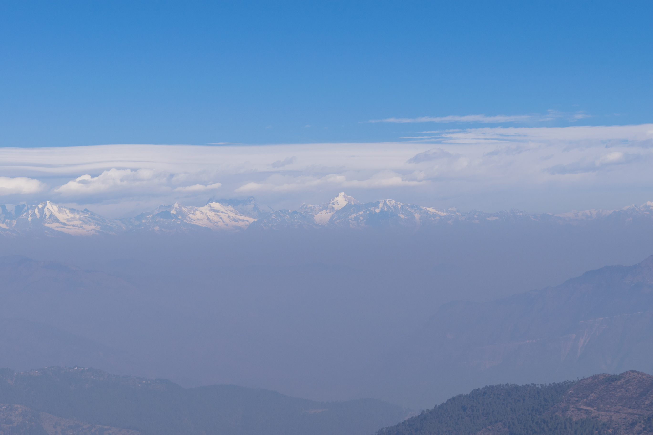
Views from Abott Mount Lohaghat
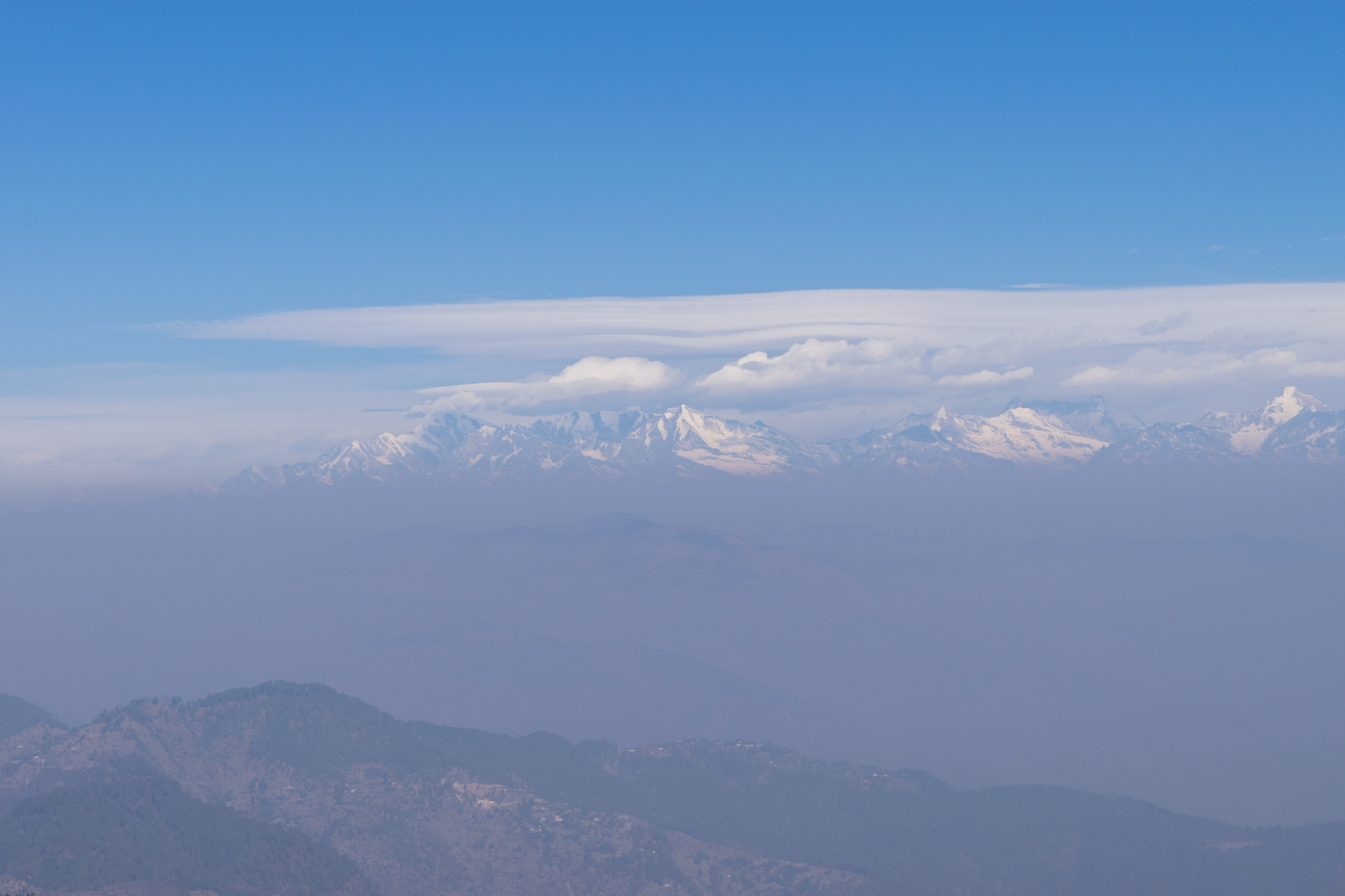
Views from Abott Mount Lohaghat

Panoramic views from Abott Mount Lohaghat

WP_20150324_007

WP_20150324_006

Minor snow at Abott Mount Lahaghat in Dec15

Minor snow at Abott Mount Lahaghat in Dec15

KMVN cottages at Abott Mount

KMVN cottages at Abott Mount

The playground at Abott Mount

The playground at Abott Mount

Road to Abott Mount Lohaghat
Topographic Map of Champawat, Uttarakhand, India
Find elevation by address:

Places near Champawat, Uttarakhand, India:
Mayawati
Lohaghat
Champawat
Aambag
Chheni Talli
North Gola Range
Shaharfatak
Tallee Deeni
Nata Dol
T.d.m. Jr. High School Paharpani Nainital
North Gola Range
Sunder Khal
Latibunga
Sundarkhal
Sundarkhal
Uttarakhand, India
Kalapatal
Dhanachuli
Digantaa Resorts
Mukteshwar
Recent Searches:
- Elevation of Pasing, Munich, Bavaria, 81241, Germany
- Elevation of 24, Auburn Bay Crescent SE, Auburn Bay, Calgary, Alberta, T3M 0A6, Canada
- Elevation of Denver, 2314, Arapahoe Street, Five Points, Denver, Colorado, 80205, USA
- Elevation of Community of the Beatitudes, 2924, West 43rd Avenue, Sunnyside, Denver, Colorado, 80211, USA
- Elevation map of Litang County, Sichuan, China
- Elevation map of Madoi County, Qinghai, China
- Elevation of 3314, Ohio State Route 114, Payne, Paulding County, Ohio, 45880, USA
- Elevation of Sarahills Drive, Saratoga, Santa Clara County, California, 95070, USA
- Elevation of Town of Bombay, Franklin County, New York, USA
- Elevation of 9, Convent Lane, Center Moriches, Suffolk County, New York, 11934, USA
- Elevation of Saint Angelas Convent, 9, Convent Lane, Center Moriches, Suffolk County, New York, 11934, USA
- Elevation of 131st Street Southwest, Mukilteo, Snohomish County, Washington, 98275, USA
- Elevation of 304, Harrison Road, Naples, Cumberland County, Maine, 04055, USA
- Elevation of 2362, Timber Ridge Road, Harrisburg, Cabarrus County, North Carolina, 28075, USA
- Elevation of Ridge Road, Marshalltown, Marshall County, Iowa, 50158, USA
- Elevation of 2459, Misty Shadows Drive, Pigeon Forge, Sevier County, Tennessee, 37862, USA
- Elevation of 8043, Brightwater Way, Spring Hill, Williamson County, Tennessee, 37179, USA
- Elevation of Starkweather Road, San Luis, Costilla County, Colorado, 81152, USA
- Elevation of 5277, Woodside Drive, Baton Rouge, East Baton Rouge Parish, Louisiana, 70808, USA
- Elevation of 1139, Curtin Street, Shepherd Park Plaza, Houston, Harris County, Texas, 77018, USA