Elevation of Aambag, Tanakpur, Uttarakhand, India
Location: India > Uttarakhand > Champawat > Chheni Talli >
Longitude: 80.096564
Latitude: 29.0732937
Elevation: 262m / 860feet
Barometric Pressure: 0KPa
Related Photos:
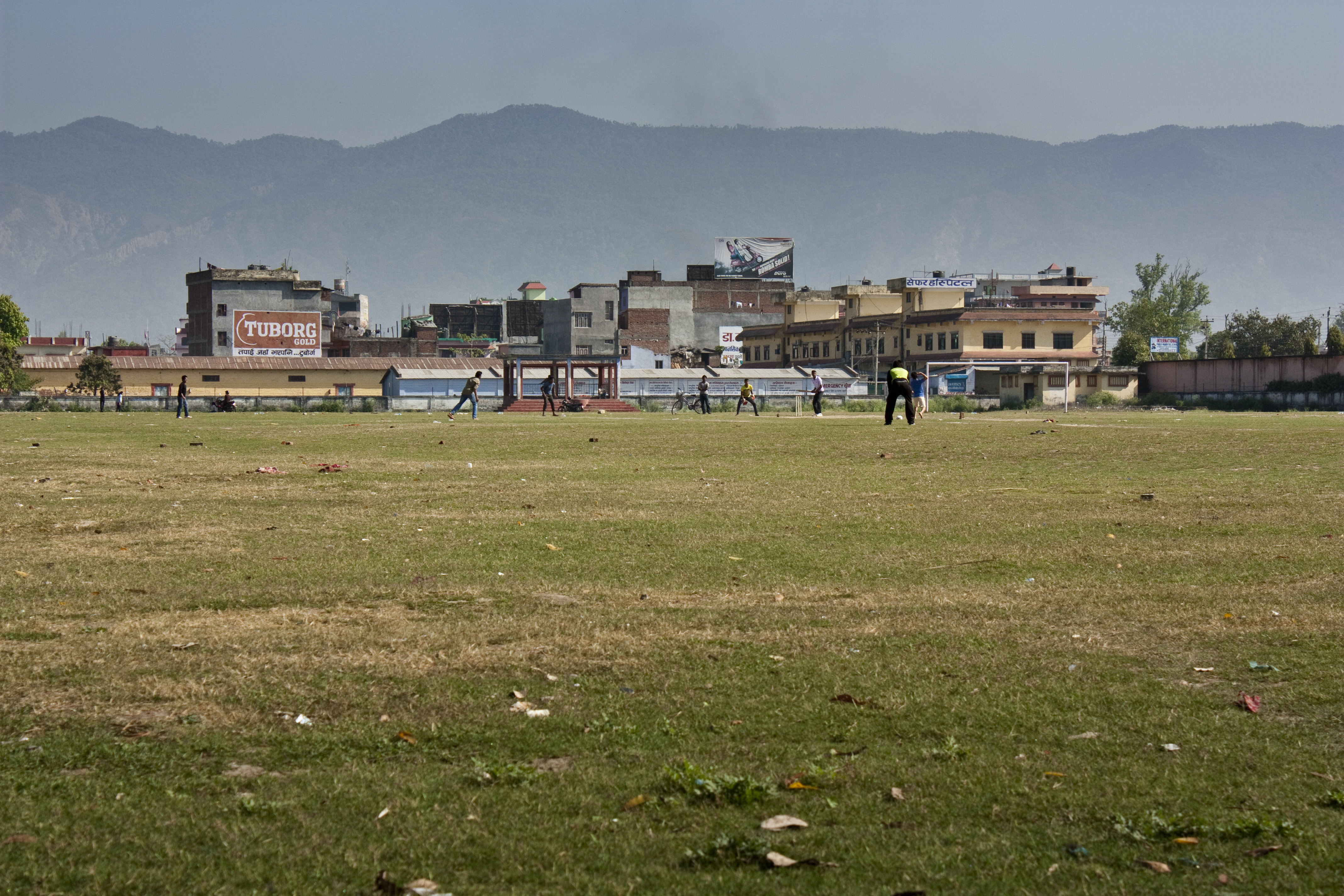
a cricket match
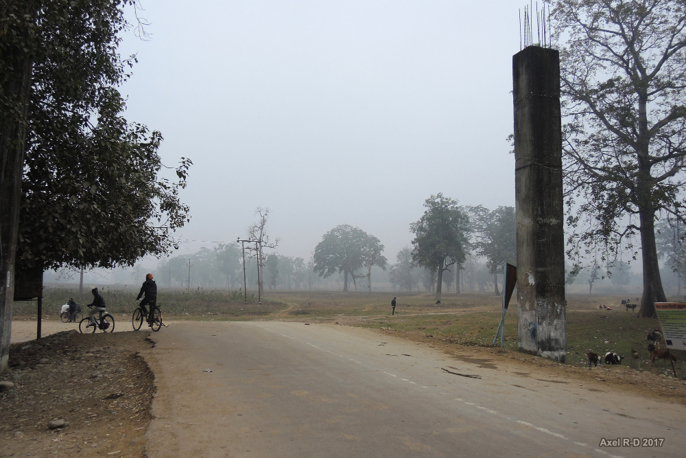
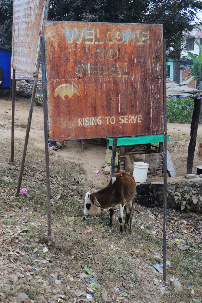
Nepal-India borderland
Nepal-India borderland
Walking the no-man's-land
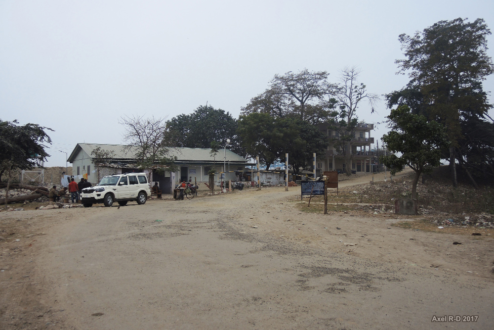
India immigration at Banbasa

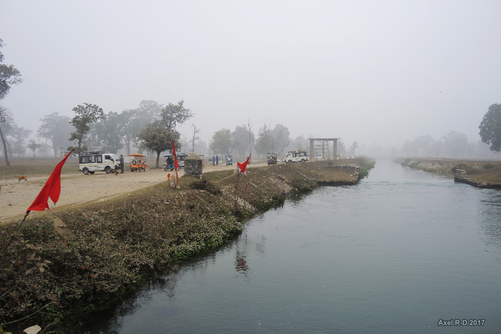
Banbasa dam
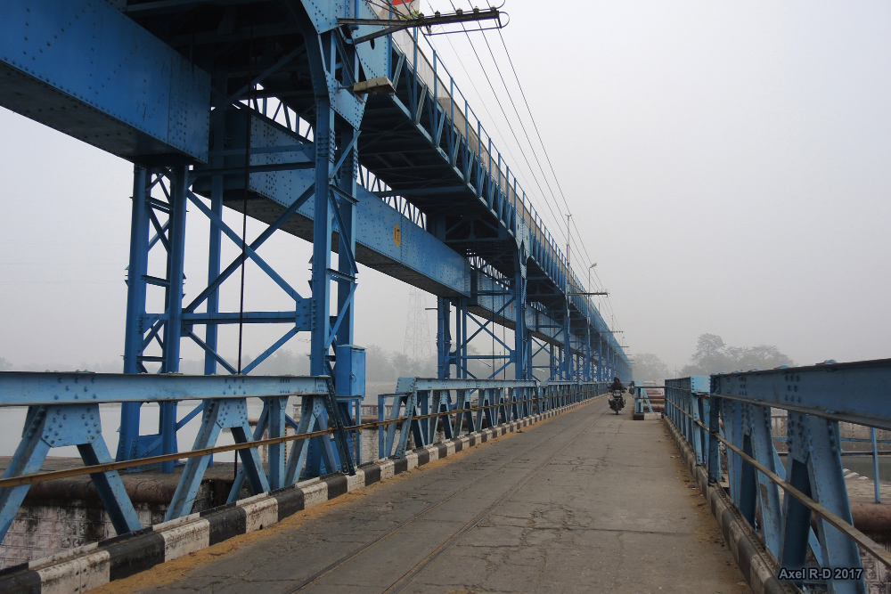
Banbasa dam
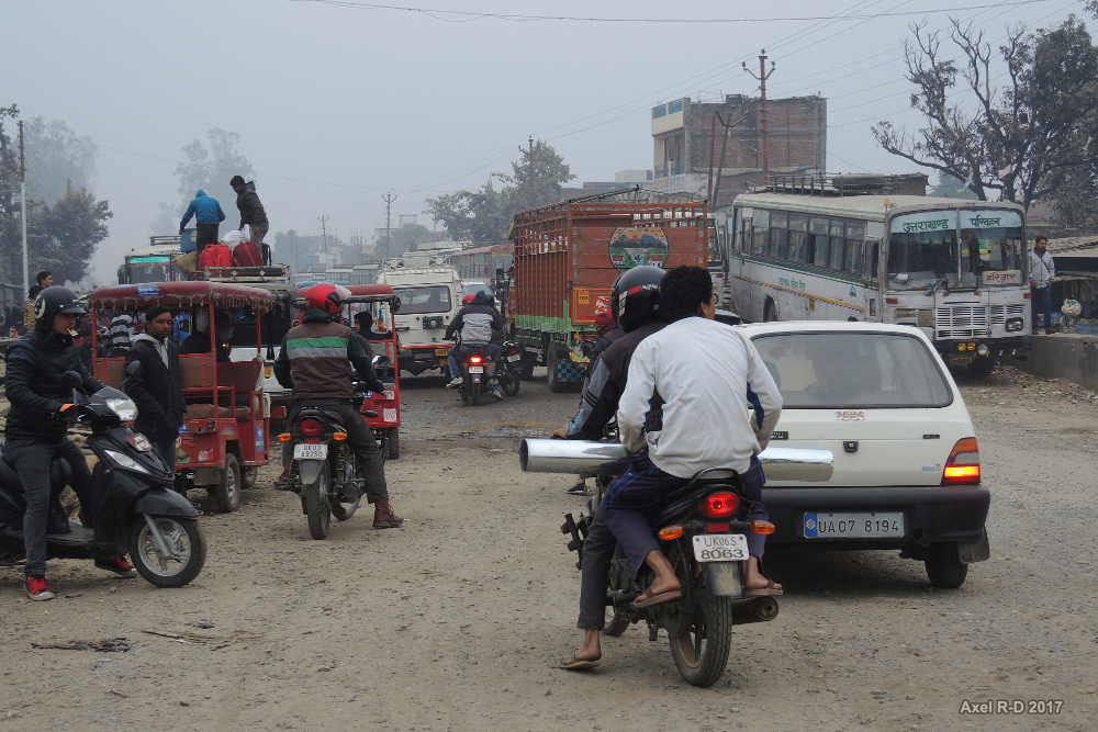
Banbasa border town

Banbasa border town

Mahendranagar border town
Mahendranagar border town

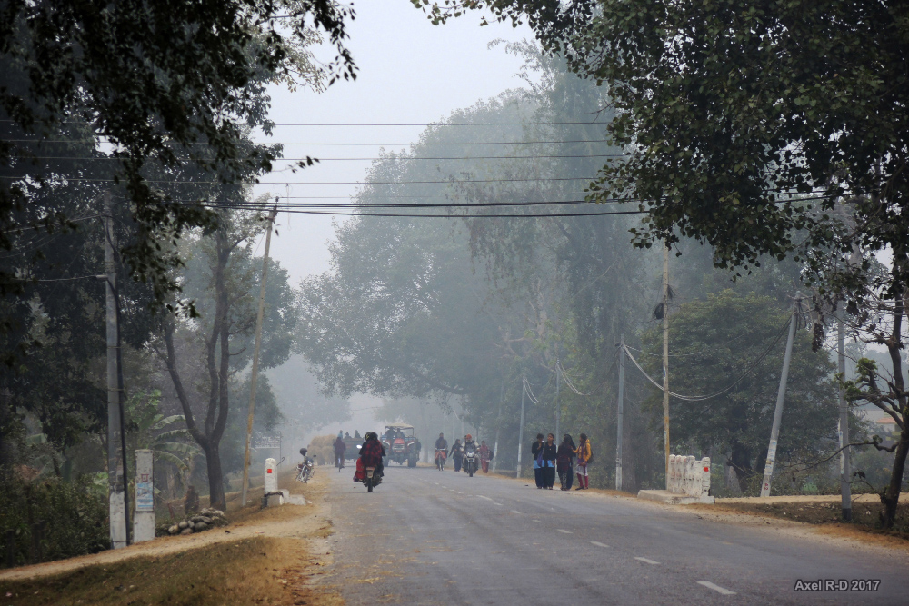
Nepal-India borderland
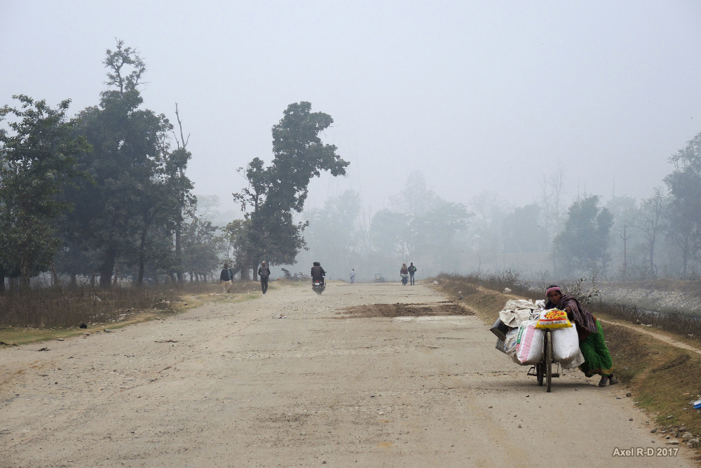
Towards the border - Mahendranagar
Topographic Map of Aambag, Tanakpur, Uttarakhand, India
Find elevation by address:

Places near Aambag, Tanakpur, Uttarakhand, India:
Chheni Talli
Champawat
Champawat
Mayawati
Lohaghat
Sitarganj
Tallee Deeni
North Gola Range
Shaharfatak
T.d.m. Jr. High School Paharpani Nainital
North Gola Range
Sunder Khal
Nata Dol
Latibunga
Sundarkhal
Sundarkhal
Jangalia Gaon Ganja
Dhanachuli
Uttarakhand, India
Kalapatal
Recent Searches:
- Elevation of Sullivan Hill, New York, New York, 10002, USA
- Elevation of Morehead Road, Withrow Downs, Charlotte, Mecklenburg County, North Carolina, 28262, USA
- Elevation of 2800, Morehead Road, Withrow Downs, Charlotte, Mecklenburg County, North Carolina, 28262, USA
- Elevation of Yangbi Yi Autonomous County, Yunnan, China
- Elevation of Pingpo, Yangbi Yi Autonomous County, Yunnan, China
- Elevation of Mount Malong, Pingpo, Yangbi Yi Autonomous County, Yunnan, China
- Elevation map of Yongping County, Yunnan, China
- Elevation of North 8th Street, Palatka, Putnam County, Florida, 32177, USA
- Elevation of 107, Big Apple Road, East Palatka, Putnam County, Florida, 32131, USA
- Elevation of Jiezi, Chongzhou City, Sichuan, China
- Elevation of Chongzhou City, Sichuan, China
- Elevation of Huaiyuan, Chongzhou City, Sichuan, China
- Elevation of Qingxia, Chengdu, Sichuan, China
- Elevation of Corso Fratelli Cairoli, 35, Macerata MC, Italy
- Elevation of Tallevast Rd, Sarasota, FL, USA
- Elevation of 4th St E, Sonoma, CA, USA
- Elevation of Black Hollow Rd, Pennsdale, PA, USA
- Elevation of Oakland Ave, Williamsport, PA, USA
- Elevation of Pedrógão Grande, Portugal
- Elevation of Klee Dr, Martinsburg, WV, USA