Elevation of Latibunga, Sunder Khal, Uttarakhand, India
Location: India > Uttarakhand > Nainital > Sunder Khal >
Longitude: 79.6747338
Latitude: 29.4052486
Elevation: 2166m / 7106feet
Barometric Pressure: 78KPa
Elevation Map:
Satellite Map:
Related Photos:
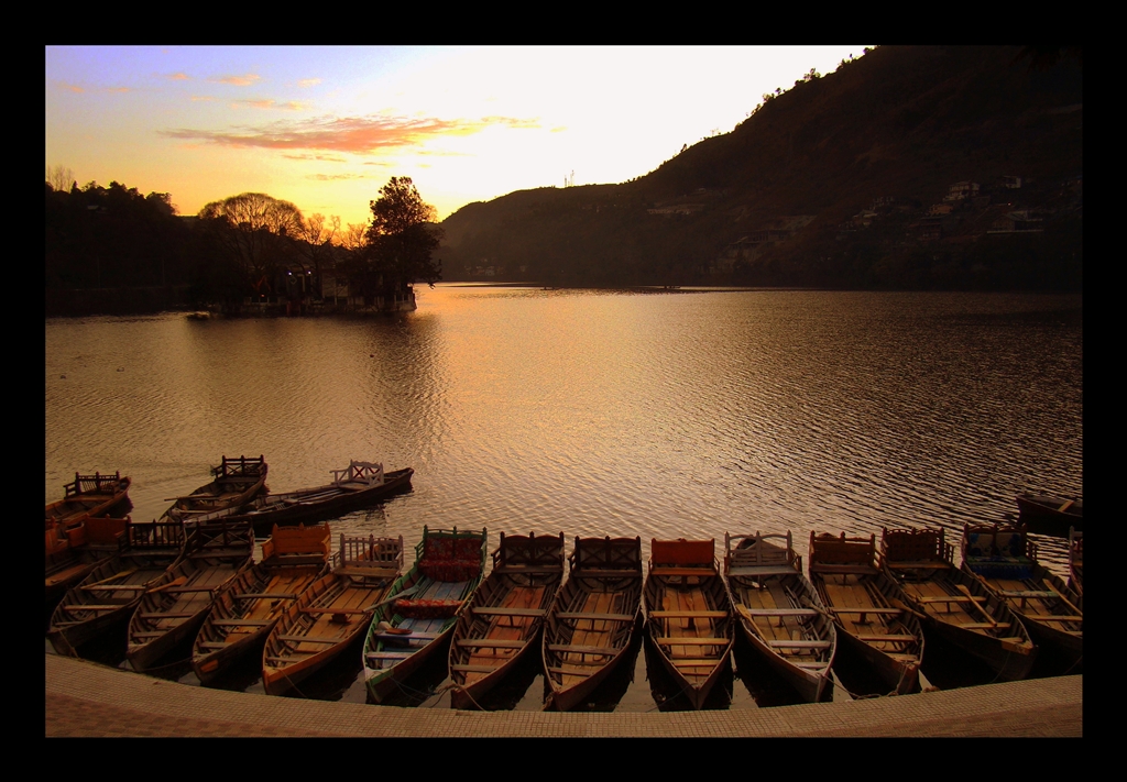
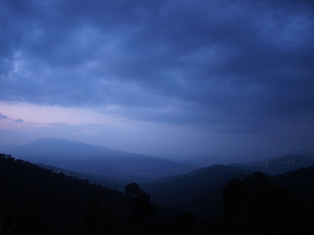
Bhimtal at Dusk

The mountains bring peace
What I'll Miss Most
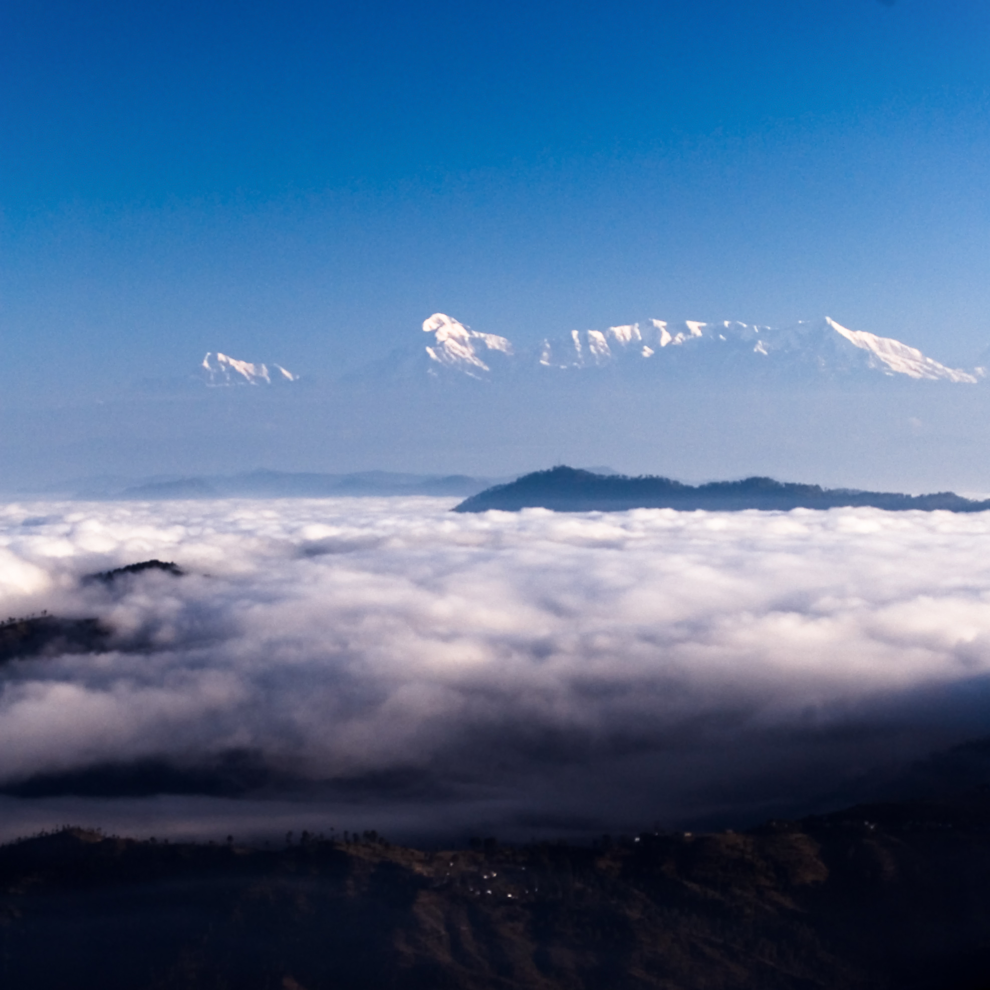
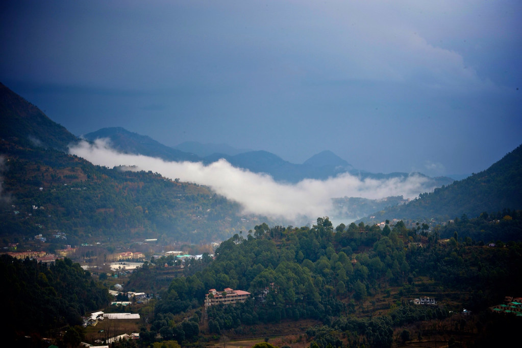
Morning Fog over Almora
Central Himalayan Rural Action Group

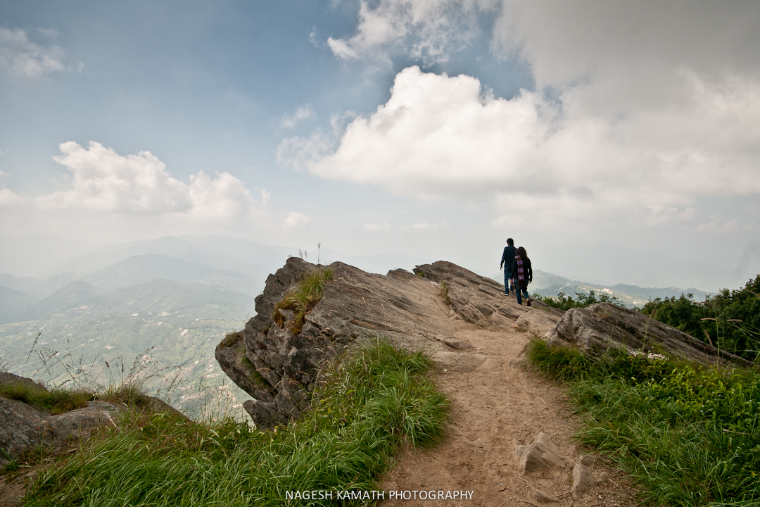
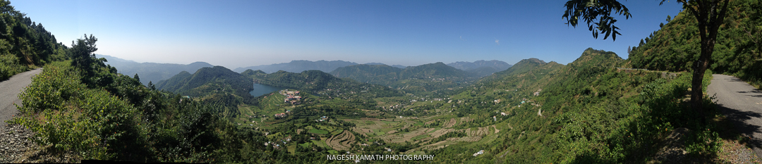
View from the top - 1
View from the top - 2
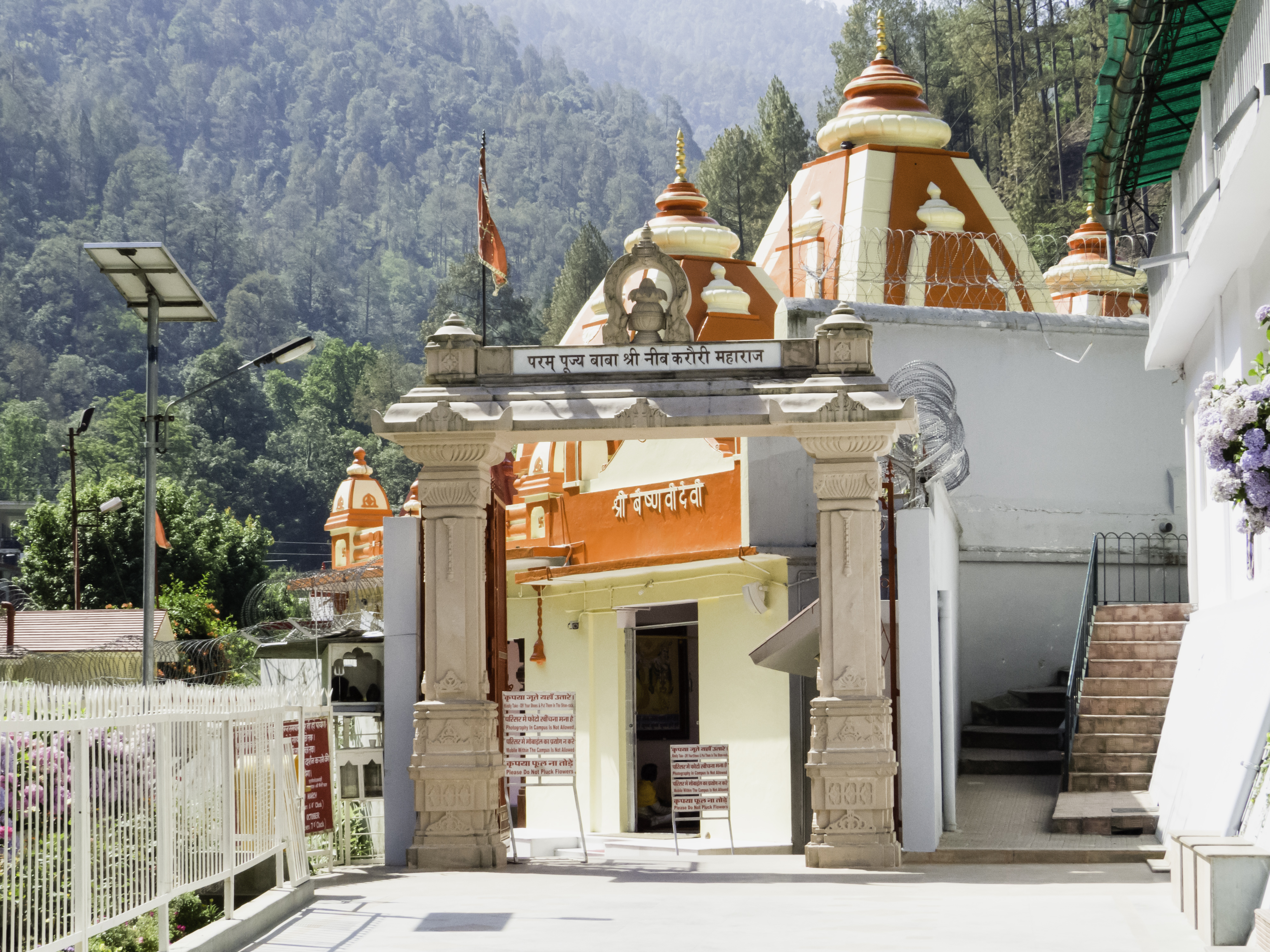
Kainchi Dham

Beautiful Sattal (group of seven lakes). A nice view.. clicked with my new honor5c while pedalling the boat. #sattal #lake #nainitaldistrict #nainitaldiaries #greenery #mobileclick #honor5c #honor #indianphotography #dslrofficial #Uttarakhand #photograp
Misty view from #TearohaDhanachuli

View from the top - Mukteshwar on opp hill
First few rays arrive
Sinister plans?
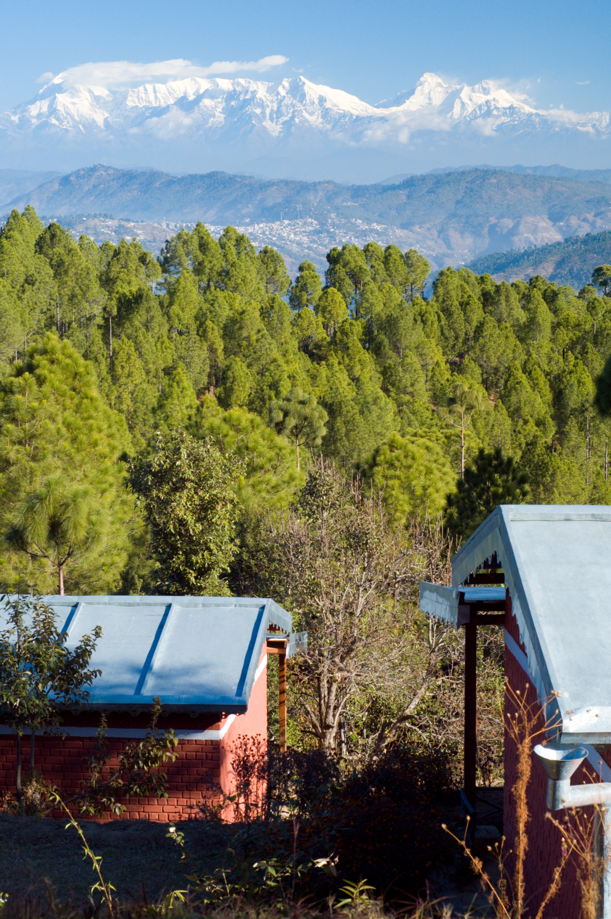
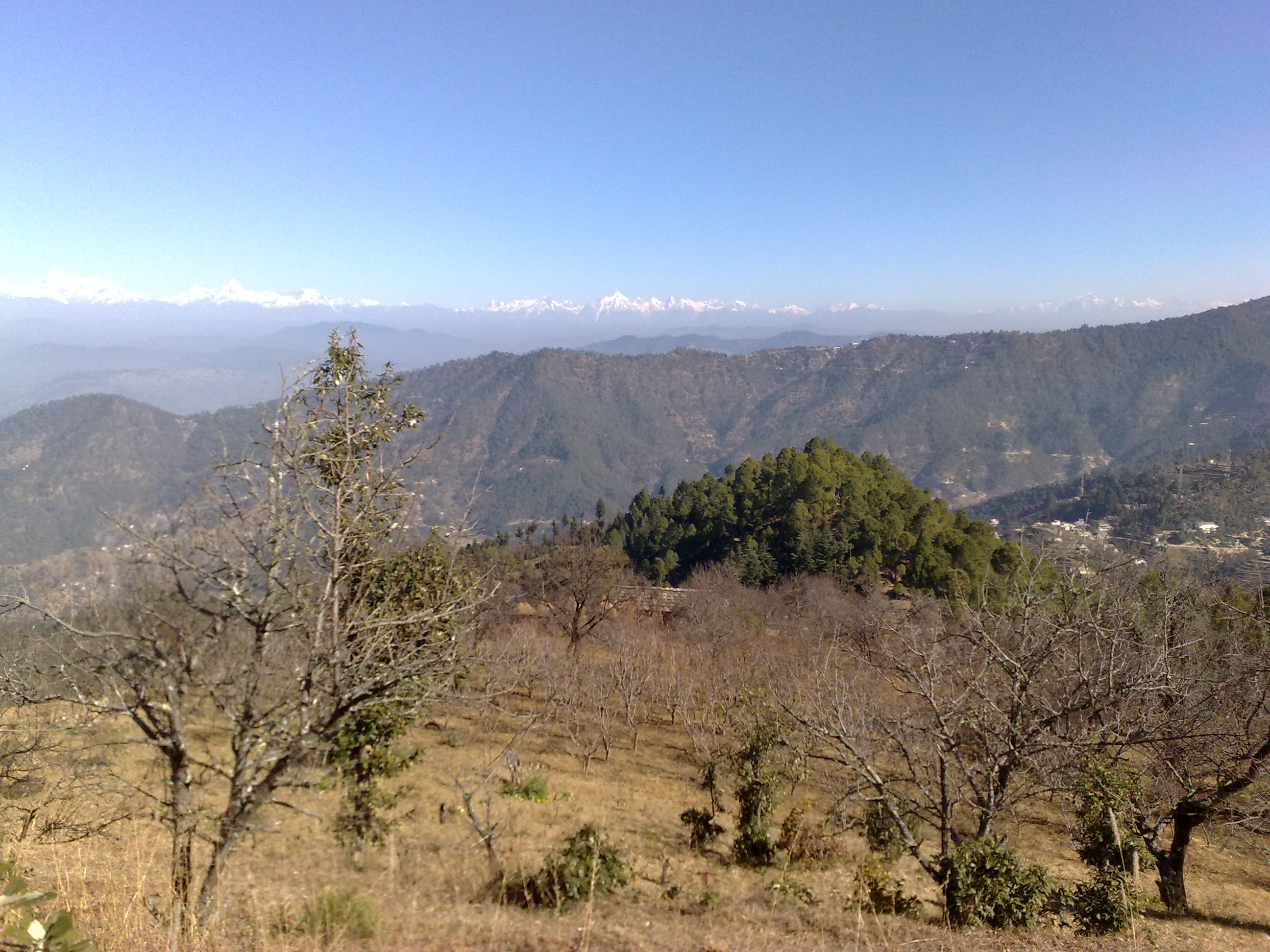
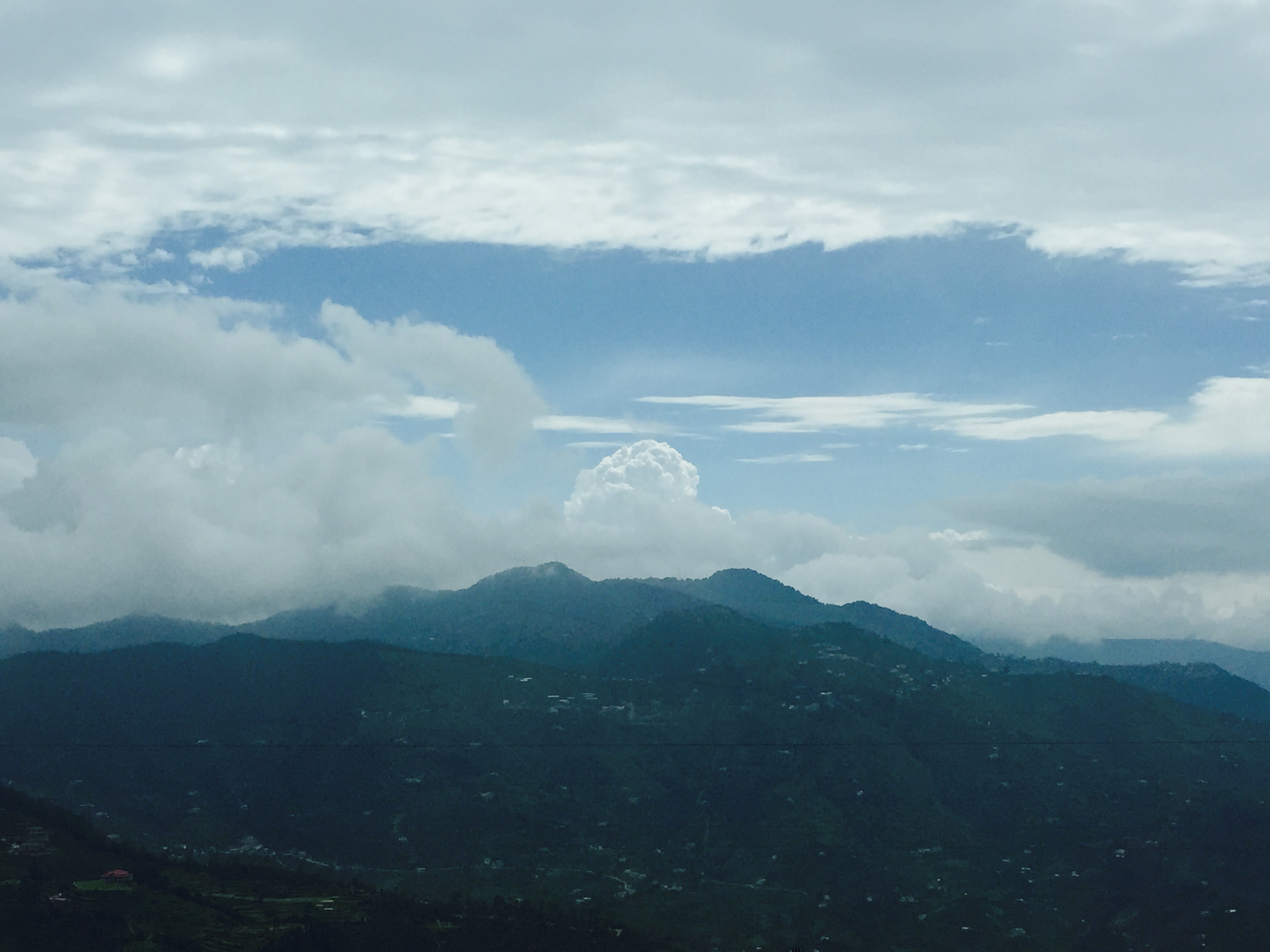
Himalayas above Almora
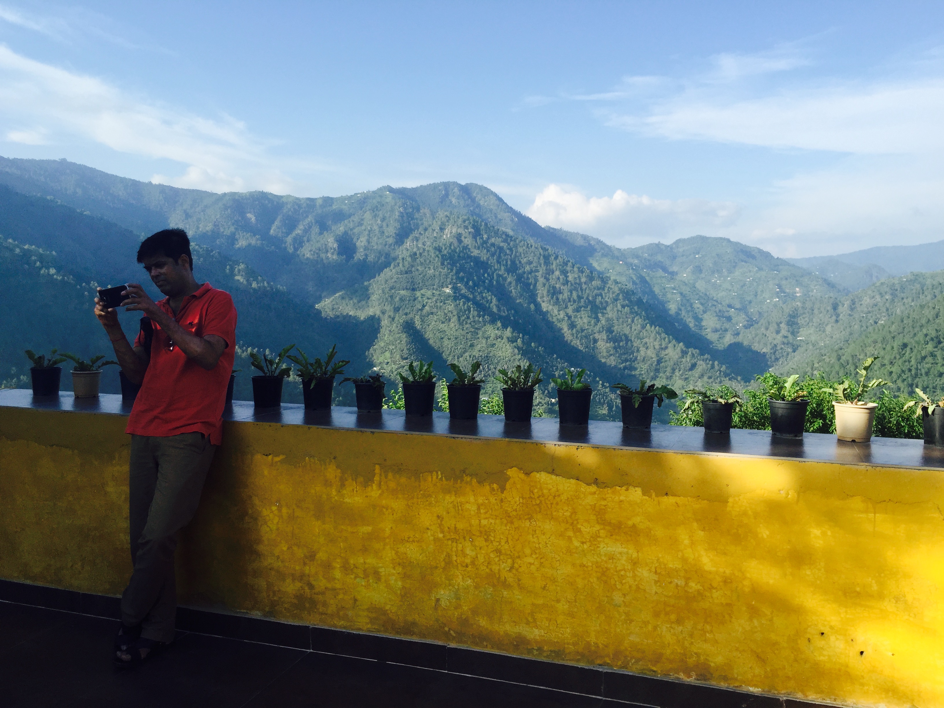
Happy me!

A house on the edge

Folds of earth
Mukteshwar, India

Heaven on earth
Bhimtaal 2014 - Flickr
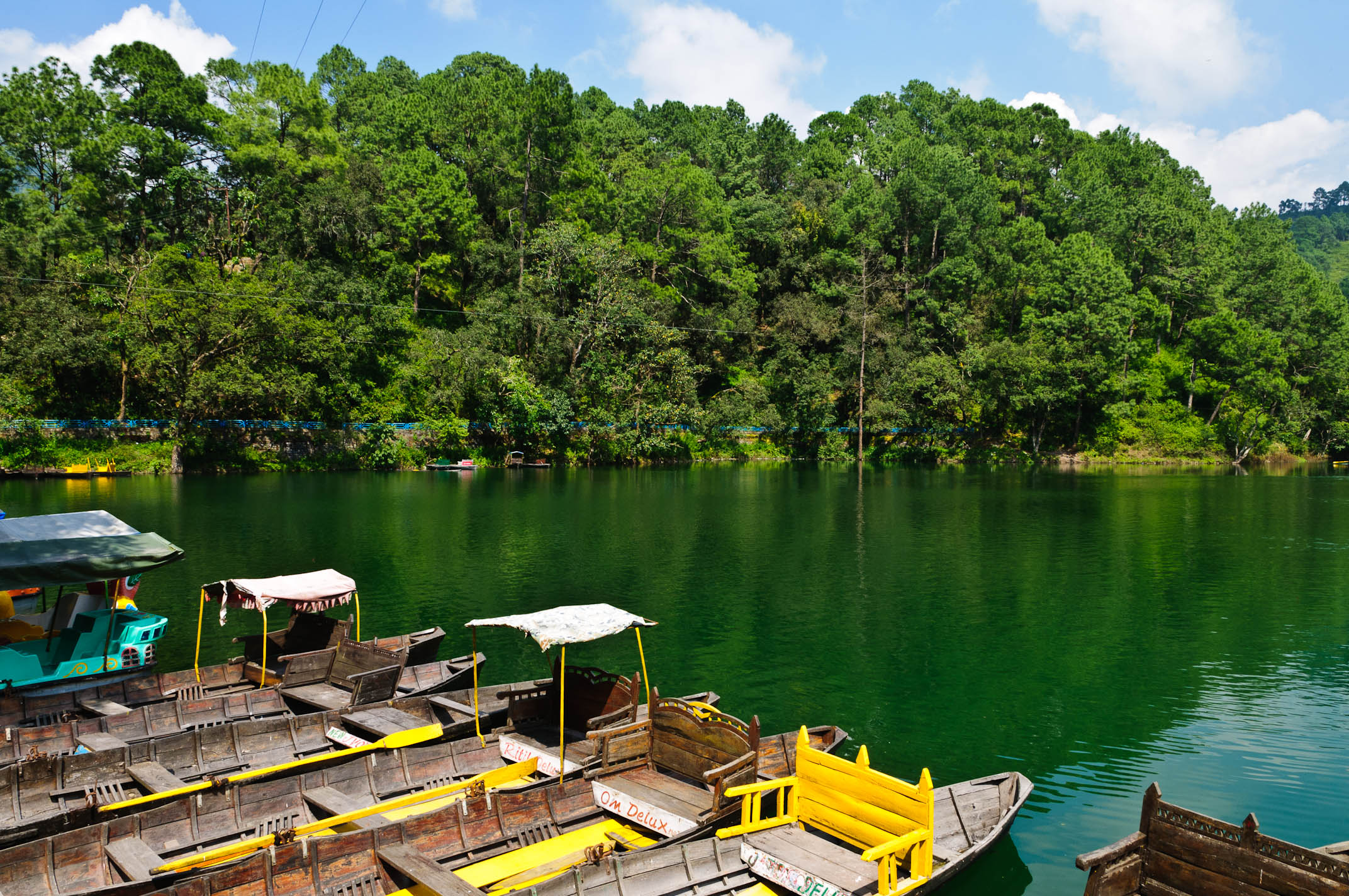
Bhimtal lake
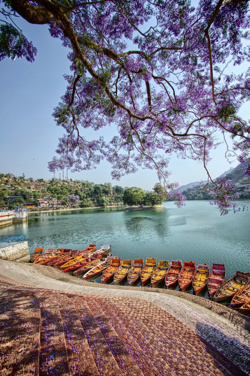
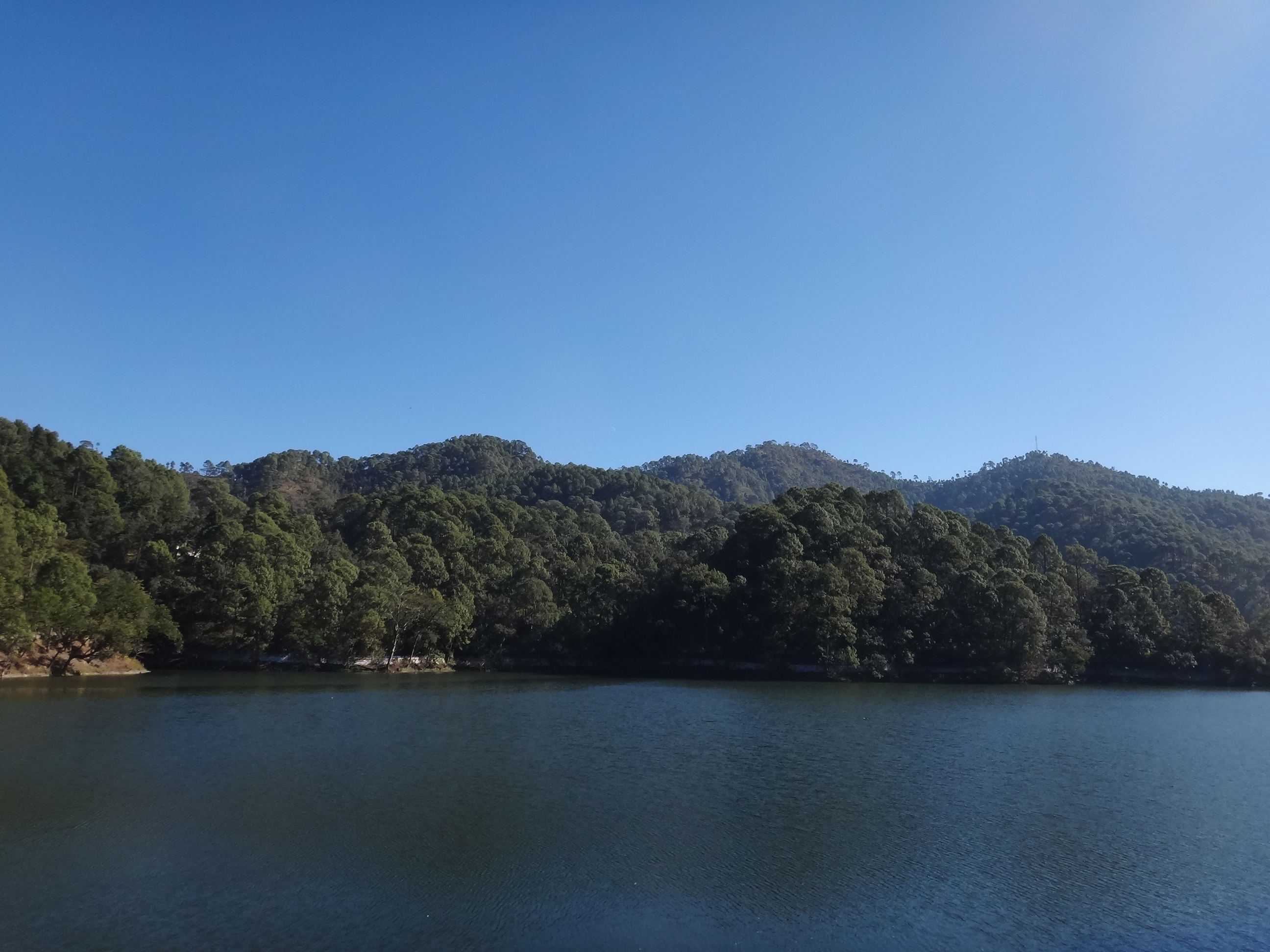
A tale of two lakes
IND11-0511-20111002.jpg
Lake on Drive to Kathgodam
Happy me!

#ramgarh #hartola #hills #himalayan #nainital #nature #resort

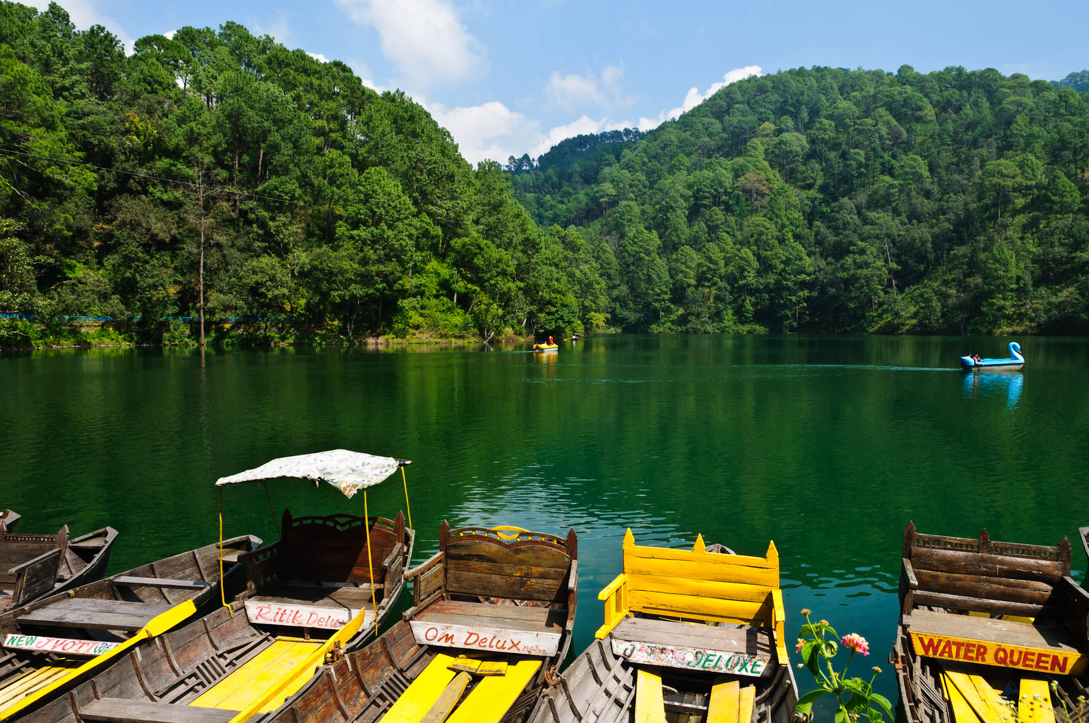
Sattal Regopm

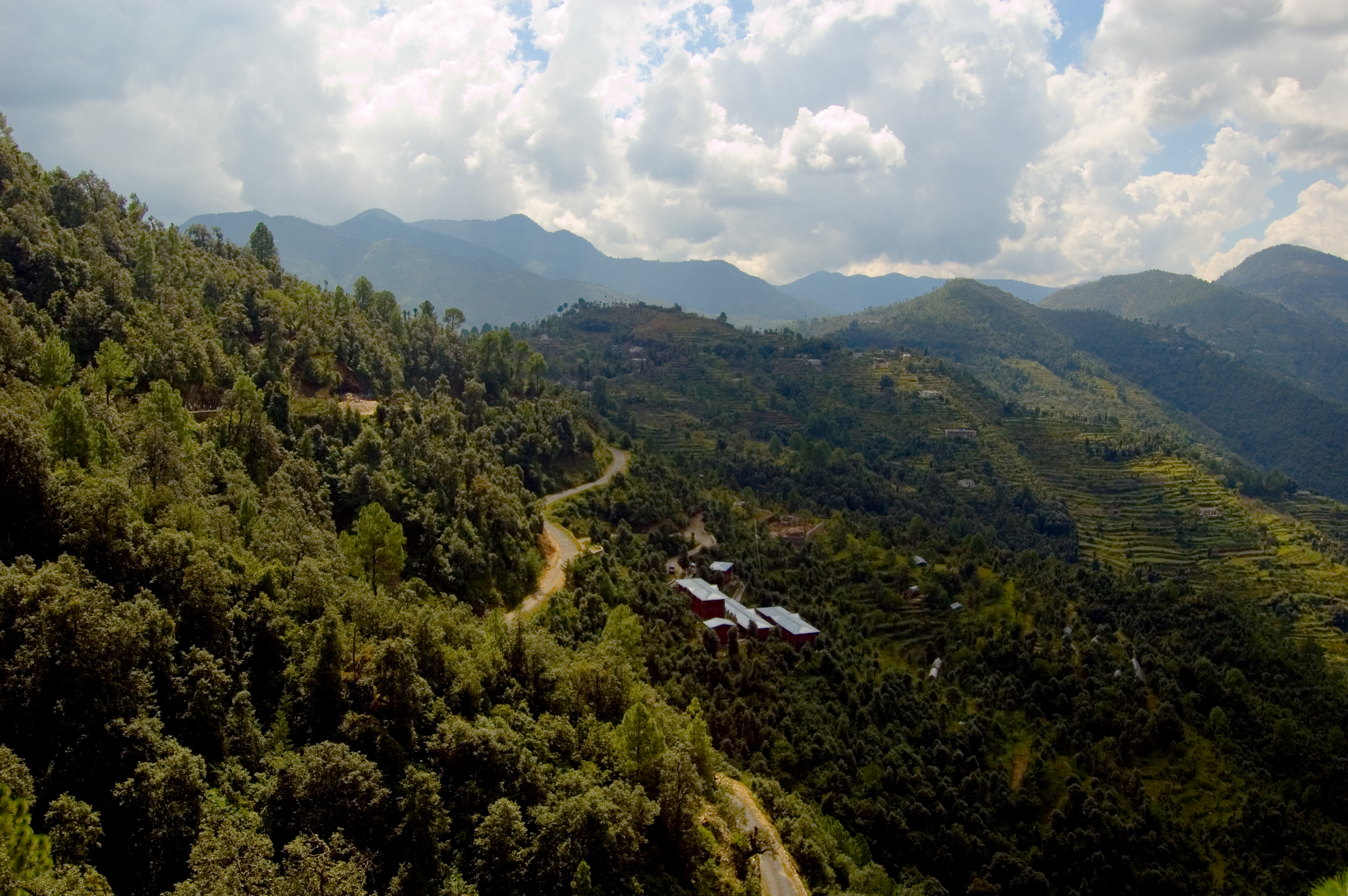
Mountainside farm, Sucna Village

Yet Another Sunset Pic
IND11-0512-20111002.jpg

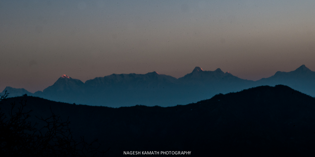
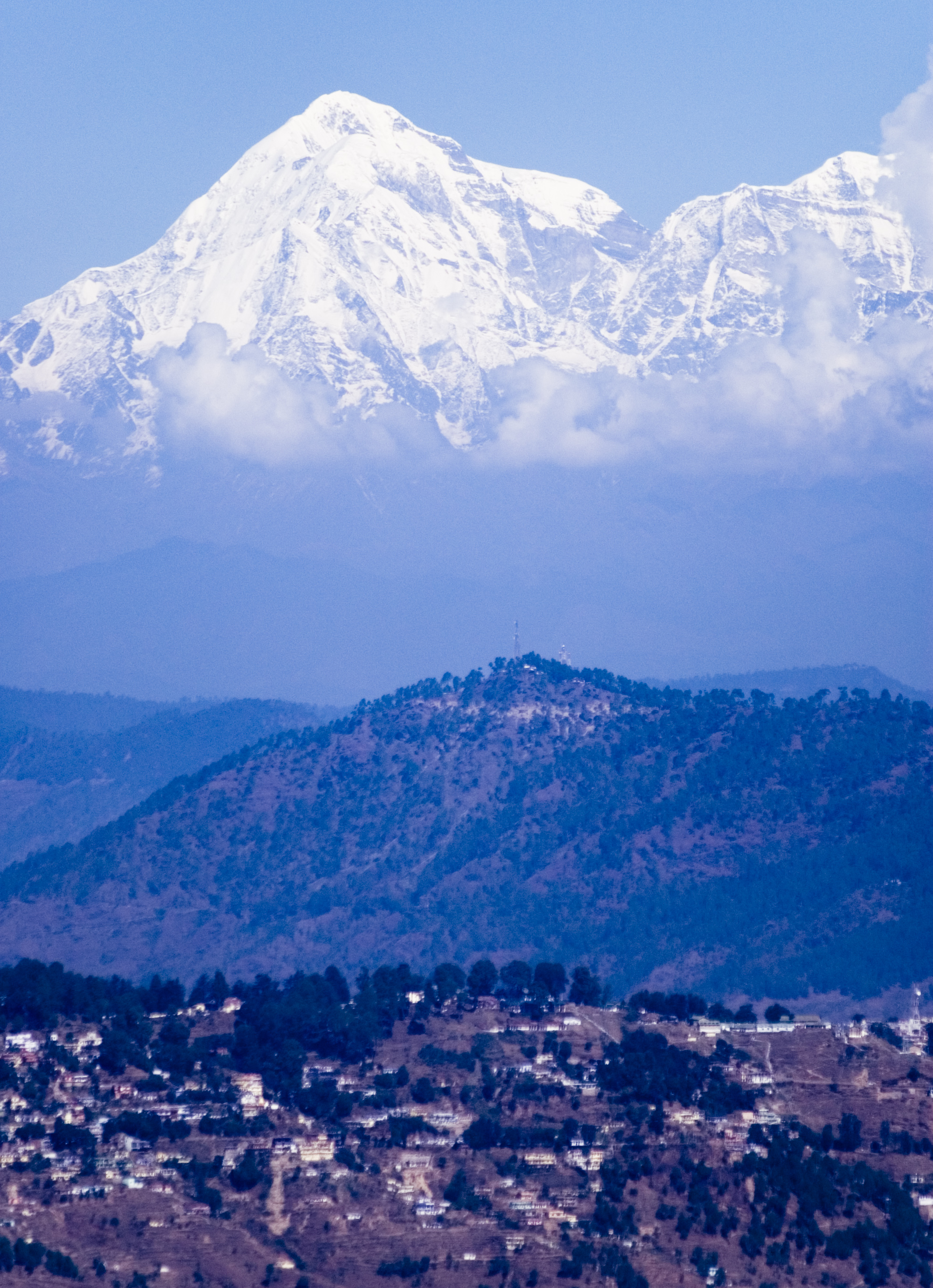
Nandadevi from Mukteshwar
Topographic Map of Latibunga, Sunder Khal, Uttarakhand, India
Find elevation by address:

Places in Latibunga, Sunder Khal, Uttarakhand, India:
Places near Latibunga, Sunder Khal, Uttarakhand, India:
Sundarkhal
Sundarkhal
Uttarakhand, India
Sunder Khal
Dhanachuli
Kalapatal
Digantaa Resorts
North Gola Range
T.d.m. Jr. High School Paharpani Nainital
Enchanted Hills
Kasiyalekh
Tallee Deeni
Ladfora Talla
Mukteshwar
Sunkiya
Padampuri Bridge
Darima
Nata Dol
Mukteshwar Mahadevtemple
South Gola Range
Recent Searches:
- Elevation of Corso Fratelli Cairoli, 35, Macerata MC, Italy
- Elevation of Tallevast Rd, Sarasota, FL, USA
- Elevation of 4th St E, Sonoma, CA, USA
- Elevation of Black Hollow Rd, Pennsdale, PA, USA
- Elevation of Oakland Ave, Williamsport, PA, USA
- Elevation of Pedrógão Grande, Portugal
- Elevation of Klee Dr, Martinsburg, WV, USA
- Elevation of Via Roma, Pieranica CR, Italy
- Elevation of Tavkvetili Mountain, Georgia
- Elevation of Hartfords Bluff Cir, Mt Pleasant, SC, USA