Elevation of South Gola Range, Uttarakhand, India

Location: India > Uttarakhand > Nainital >

Longitude: 79.5940544

Latitude: 29.415406

Elevation: 2170m / 7119feet

Barometric Pressure: 78KPa

Elevation Map:

elevation map of South Gola Range, Uttarakhand, India

Satellite Map:

Satellite map of South Gola Range, Uttarakhand, India

Related Photos:

Kainchi Dham
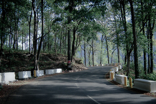
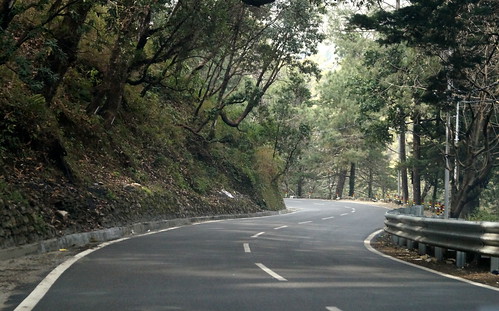
road india nainital uttarakhand nh87
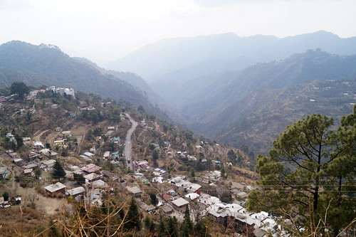
Road to Nainital
lake boat sony cybershot nainital inida h50 bhimtal
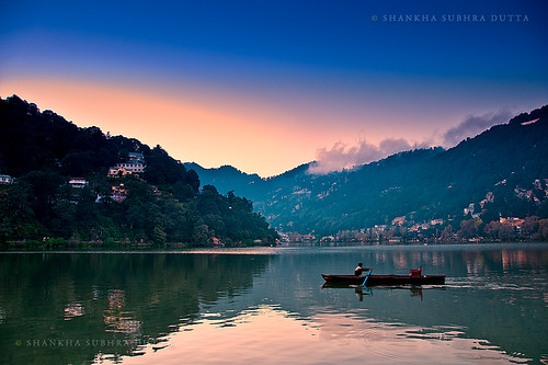
Bhimtal at Dusk
holiday broadcast mukteshwar himalayas trishul nandadevi ramgarh kumaon clubmahindra uttarakhand gagar naukuchiatal nainitaldistrict clubmahindradancingwaters
The mountains bring peace
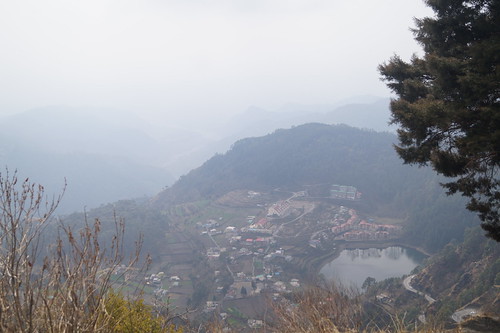
india mountain fog geotagged valley himalaya
Morning Fog over Almora
photography landscapephotography naturephotography nainital himalaya lake
Nainital Photography
photography naturephotography landscapephotography himalaya nainital photostyle
Himalayan View Point
photography landscapephotography naturephotography himalaya nainital
Camel Back hill
photography landscapephotography naturephotography himalaya nainital
Nainital Landscape
Himalaya view from Nainital.
photography nainital naturephotography landscapephotography streetphotography photostyle
Nainital Landscape
photography naturephotography landscapephotography lake nainital
Nainital Lake
photography landscapephotography highroad streetphotography nainital
Nainital Landscap
photography landscapephotography naturephotography himalaya nainital
Nainital Landscape
photography landscapephotography nainital khupratal lake naturephotography himalaya
Khurpa Tal | Nainital
photography landscapephotography naturephotography nainital himalaya
Nainital Lake
photography landscapephotography naturephotography nainital lake
Mango Lake, Nainital
photography naturephotography landscapephotography nainital lake
Nainital Lake
photography naturephotography landscapephotography himalaya nainital photostyle
Nainital Landscape
photography landscapephotography naturephotography lake nainital khupratal himalaya
Khurpa Tal | Nainital
photography naturephotography landscapephotography himalaya nainital
Nainital Landscape
instagramapp square squareformat iphoneography uploaded:by=instagram lark nainital himalayas mountains nanda devi peak nikon photography india travels myclicks
Nanda Devi peak, the highest mountain of India.(7816m) above MSL.
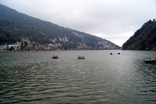
travel india mountain lake tourism canon landscape photography photo photographer photos jetty indie indië nainital indien chetan inde karkhanis in indland インド hindistan barato 印度 índia הודו sandeepa uttarakhand 인도 intia الهند هندوستان индия ấnđộ індія بھارت индија อินเดีย ינדיאַ chetankarkhanis sandeepakarkhanis sandeepachetan
Boating at the Nainital lake, India
photography landscapephotography himalaya nainital
Nainital Landscape
india lake uttaranchal uttarakhand sattal
Saat taal lake, uttaranchal, India
boat colours nainital
Naini lake
star night nightphotography sonyalpha mukteshwar himalaya orion sonyimages sonya6000 longexposure kitlens sonyalpha6000 sonyalphaimages mountains
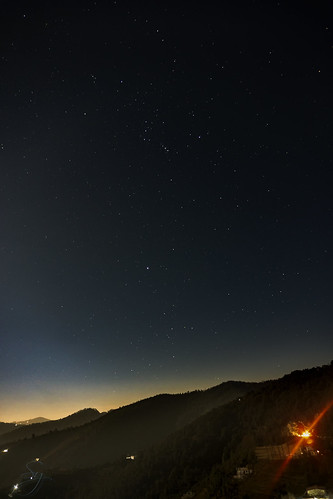
under the stars