Elevation of Nata Dol, Uttarakhand, India
Location: India > Uttarakhand > Champawat >
Longitude: 79.7259658
Latitude: 29.4572707
Elevation: 2153m / 7064feet
Barometric Pressure: 0KPa
Related Photos:

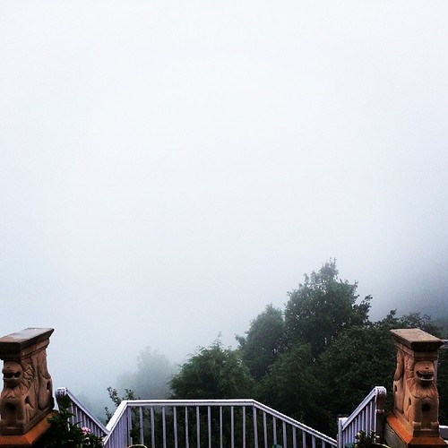
Morning Fog over Almora

What I'll Miss Most

Central Himalayan Rural Action Group

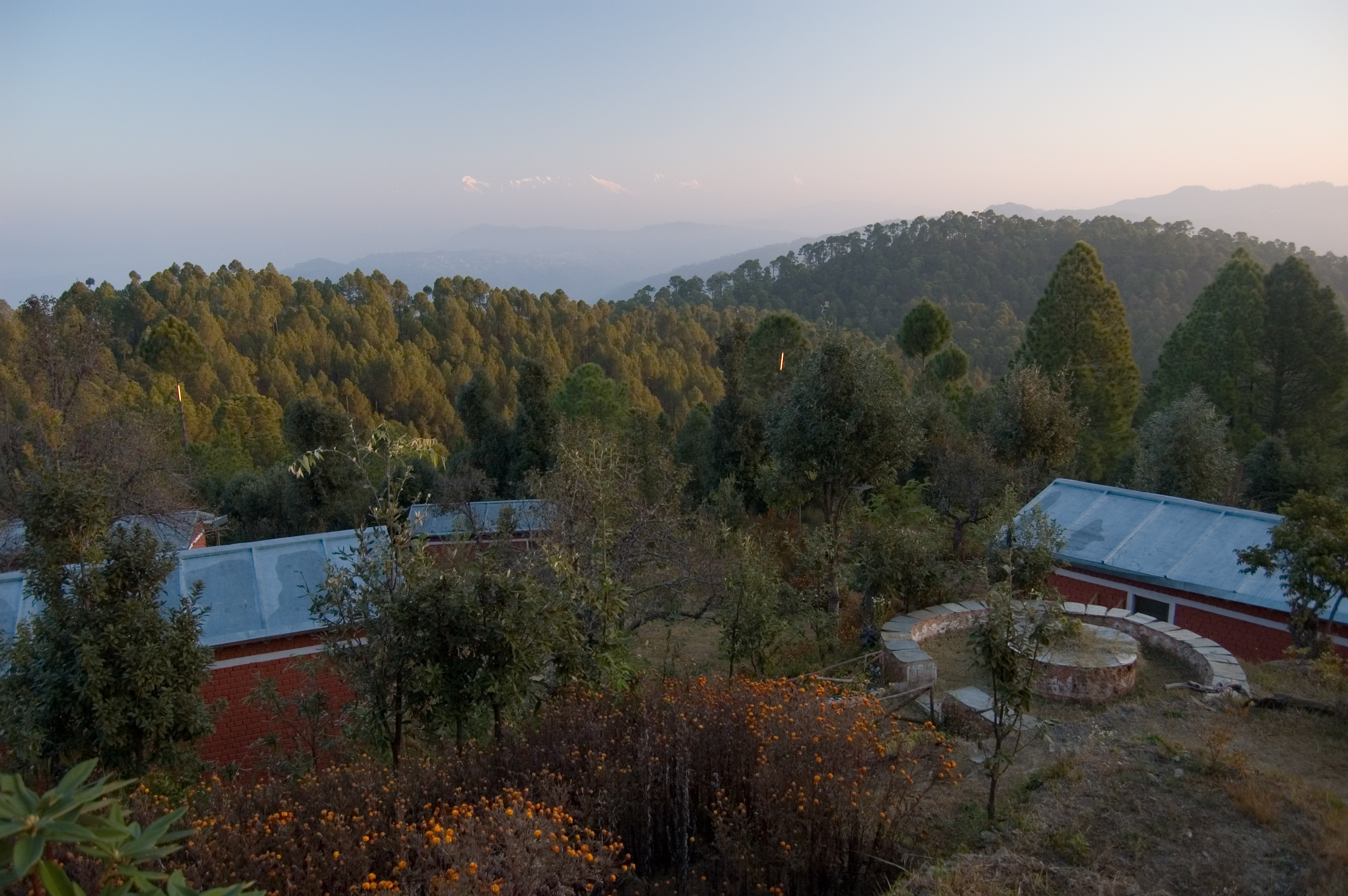
View from the top - Mukteshwar on opp hill

View from the top - 2

View from the top - 1
Misty view from #TearohaDhanachuli

under the stars

Himalayas above Almora

On the road to Almora 2

Forest Ecology
Himalayan Village

Terraced Mountainside
Yet Another Sunset Pic

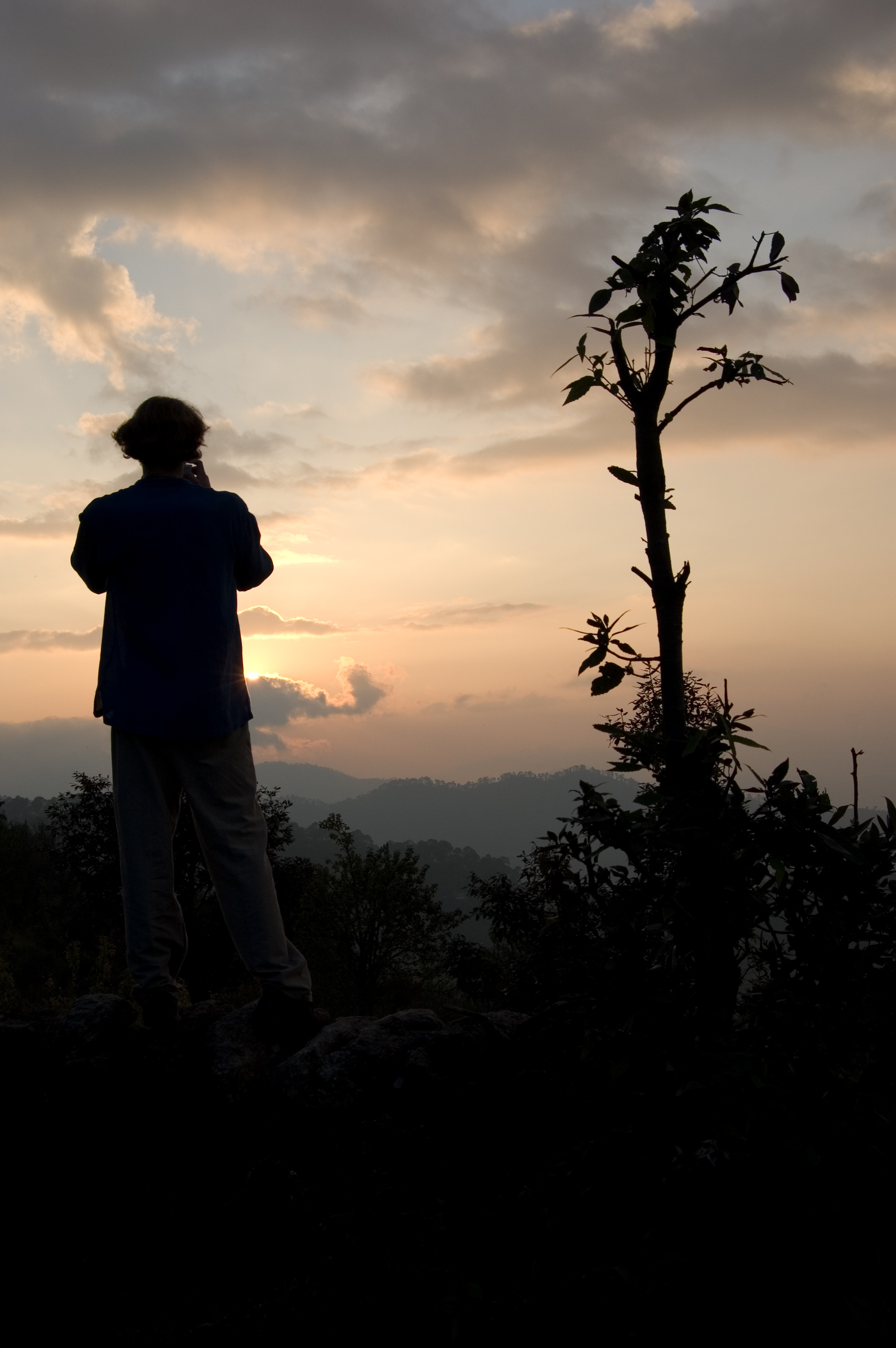
Himalayan Sunrise

Haze Over Himalayan Valleys

Morning Mountains

Dusk at Himalayan Village

Sunset at Sitla

#uttarakhand #himalayas #instadaily

PZ20160701-215.jpg
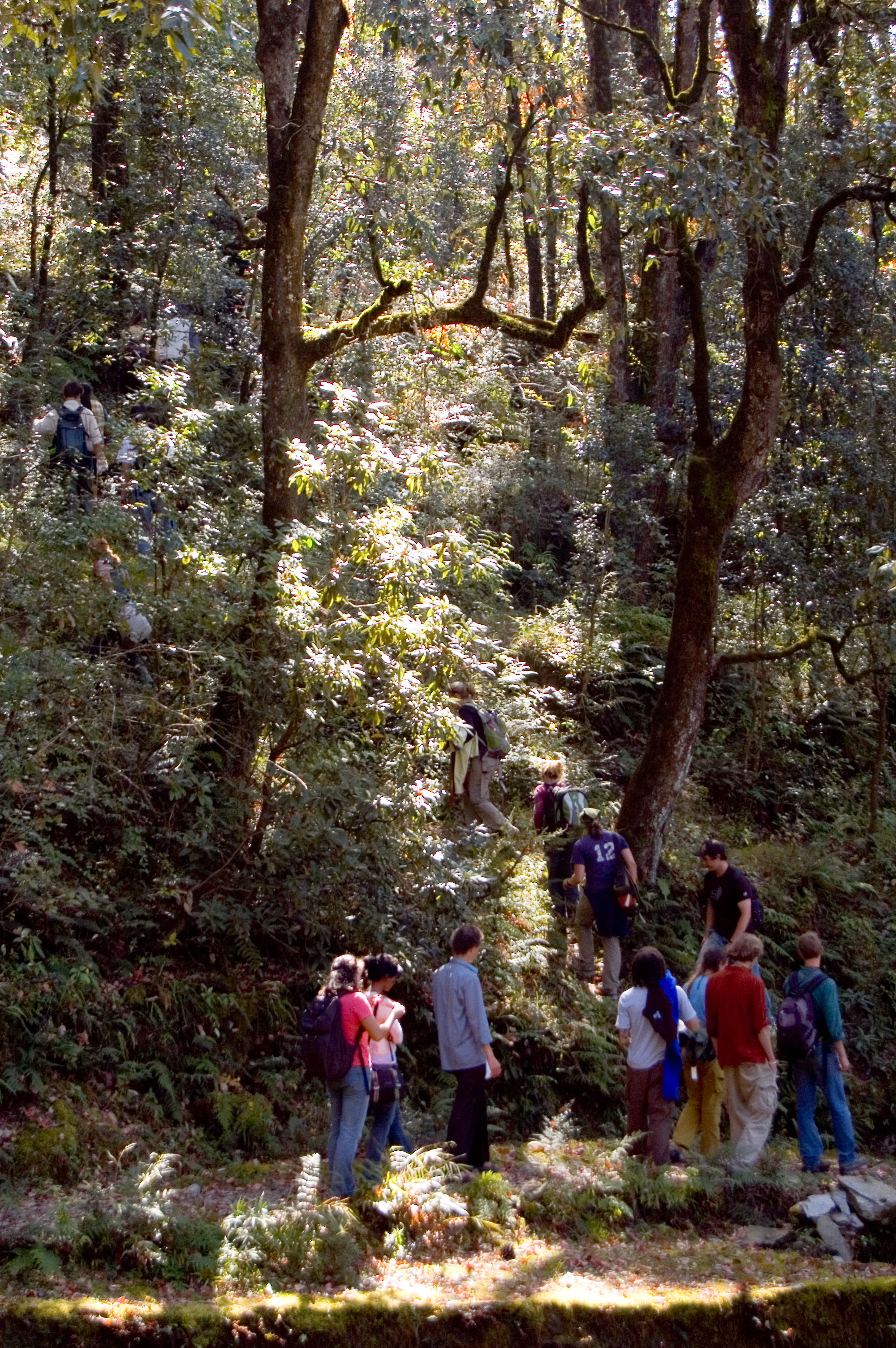
Field Trip into a Dense Forest

Forestry Field Trip

A house on the edge

Forest Ecology

Forest Ecology
Topographic Map of Nata Dol, Uttarakhand, India
Find elevation by address:

Places near Nata Dol, Uttarakhand, India:
Shaharfatak
North Gola Range
T.d.m. Jr. High School Paharpani Nainital
North Gola Range
Tallee Deeni
Sunder Khal
Kalapatal
Mukteshwar
Uttarakhand, India
Latibunga
Sundarkhal
Sundarkhal
Mukteshwar Mahadevtemple
Darima
Enchanted Hills
Dhanachuli
Sunkiya
Kasiyalekh
Saitoli
Digantaa Resorts
Recent Searches:
- Elevation map of Greenland, Greenland
- Elevation of Sullivan Hill, New York, New York, 10002, USA
- Elevation of Morehead Road, Withrow Downs, Charlotte, Mecklenburg County, North Carolina, 28262, USA
- Elevation of 2800, Morehead Road, Withrow Downs, Charlotte, Mecklenburg County, North Carolina, 28262, USA
- Elevation of Yangbi Yi Autonomous County, Yunnan, China
- Elevation of Pingpo, Yangbi Yi Autonomous County, Yunnan, China
- Elevation of Mount Malong, Pingpo, Yangbi Yi Autonomous County, Yunnan, China
- Elevation map of Yongping County, Yunnan, China
- Elevation of North 8th Street, Palatka, Putnam County, Florida, 32177, USA
- Elevation of 107, Big Apple Road, East Palatka, Putnam County, Florida, 32131, USA
- Elevation of Jiezi, Chongzhou City, Sichuan, China
- Elevation of Chongzhou City, Sichuan, China
- Elevation of Huaiyuan, Chongzhou City, Sichuan, China
- Elevation of Qingxia, Chengdu, Sichuan, China
- Elevation of Corso Fratelli Cairoli, 35, Macerata MC, Italy
- Elevation of Tallevast Rd, Sarasota, FL, USA
- Elevation of 4th St E, Sonoma, CA, USA
- Elevation of Black Hollow Rd, Pennsdale, PA, USA
- Elevation of Oakland Ave, Williamsport, PA, USA
- Elevation of Pedrógão Grande, Portugal