Elevation of Champawat, Uttarakhand, India
Location: India > Uttarakhand >
Longitude: 80.0087746
Latitude: 29.3209432
Elevation: 1611m / 5285feet
Barometric Pressure: 0KPa
Related Photos:
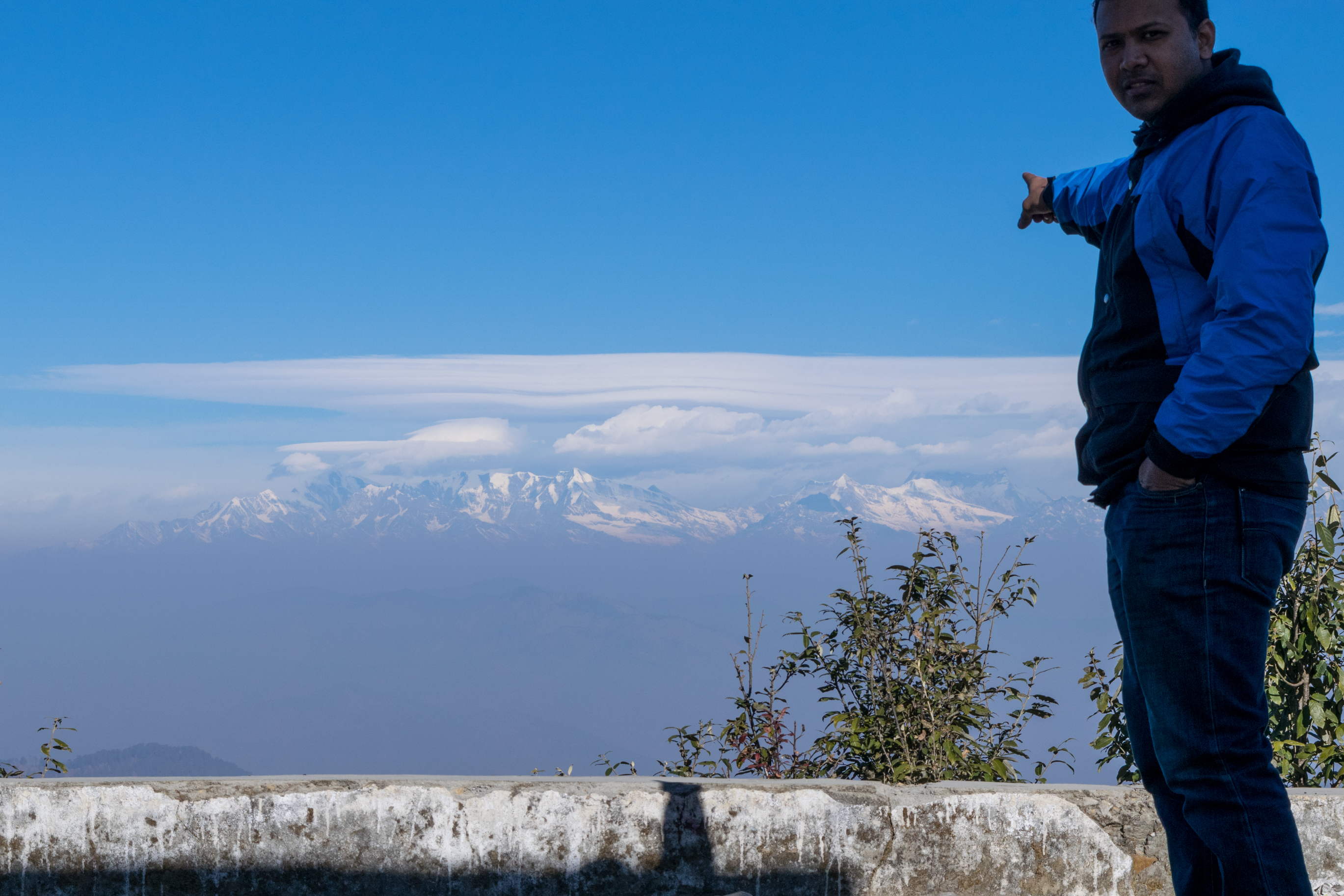
View from Abott Mount
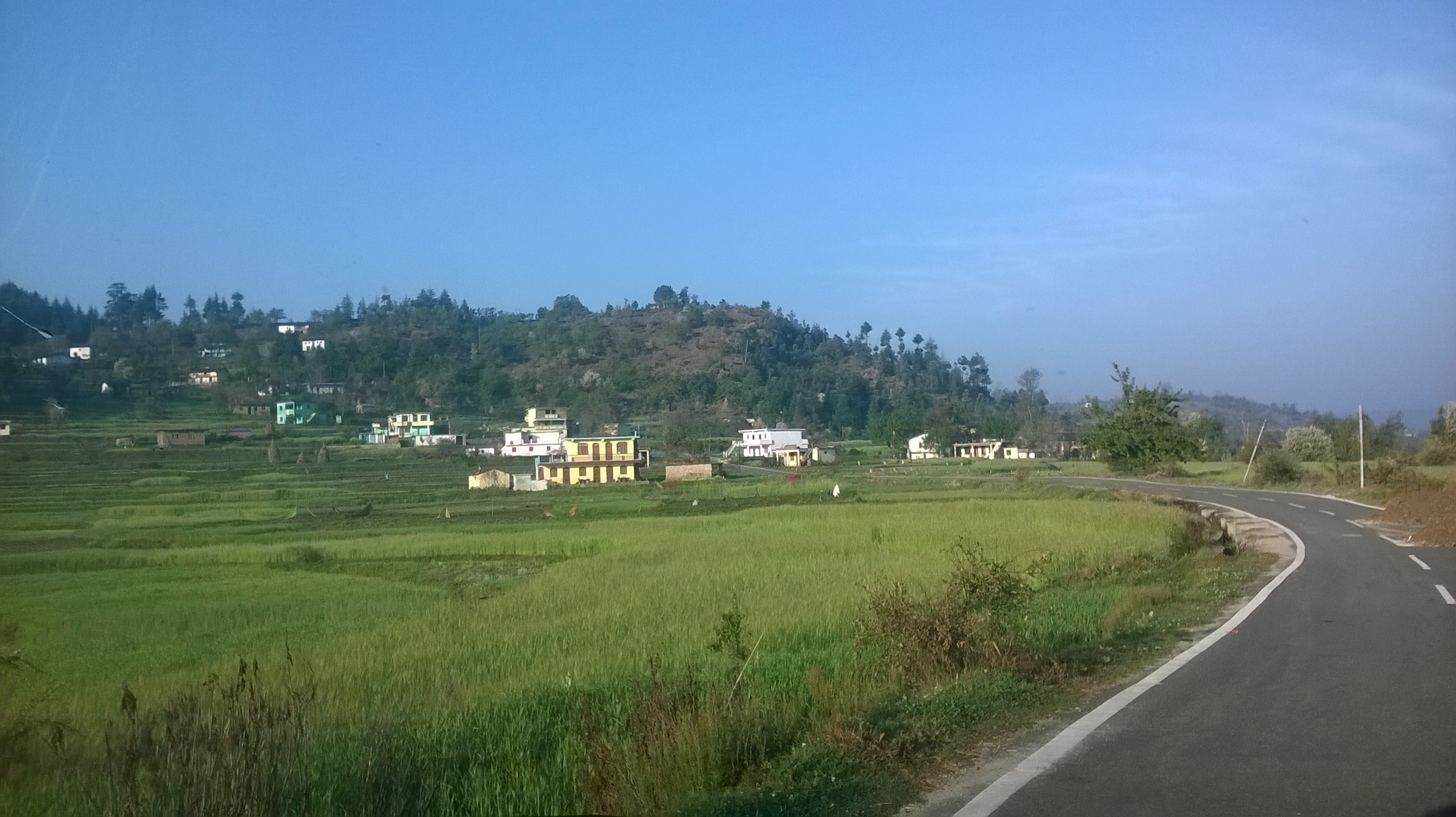
WP_20150324_007
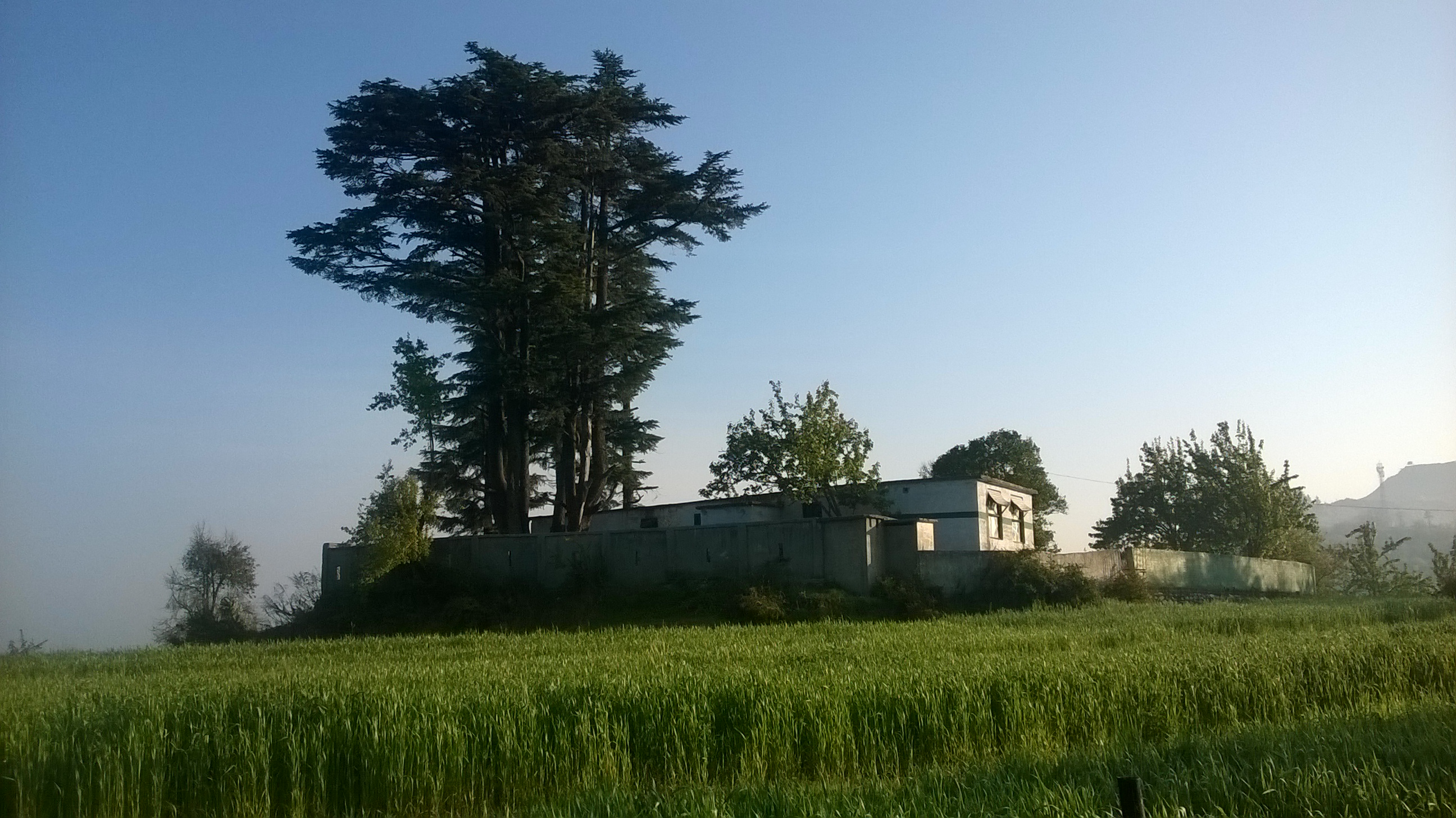
WP_20150324_006
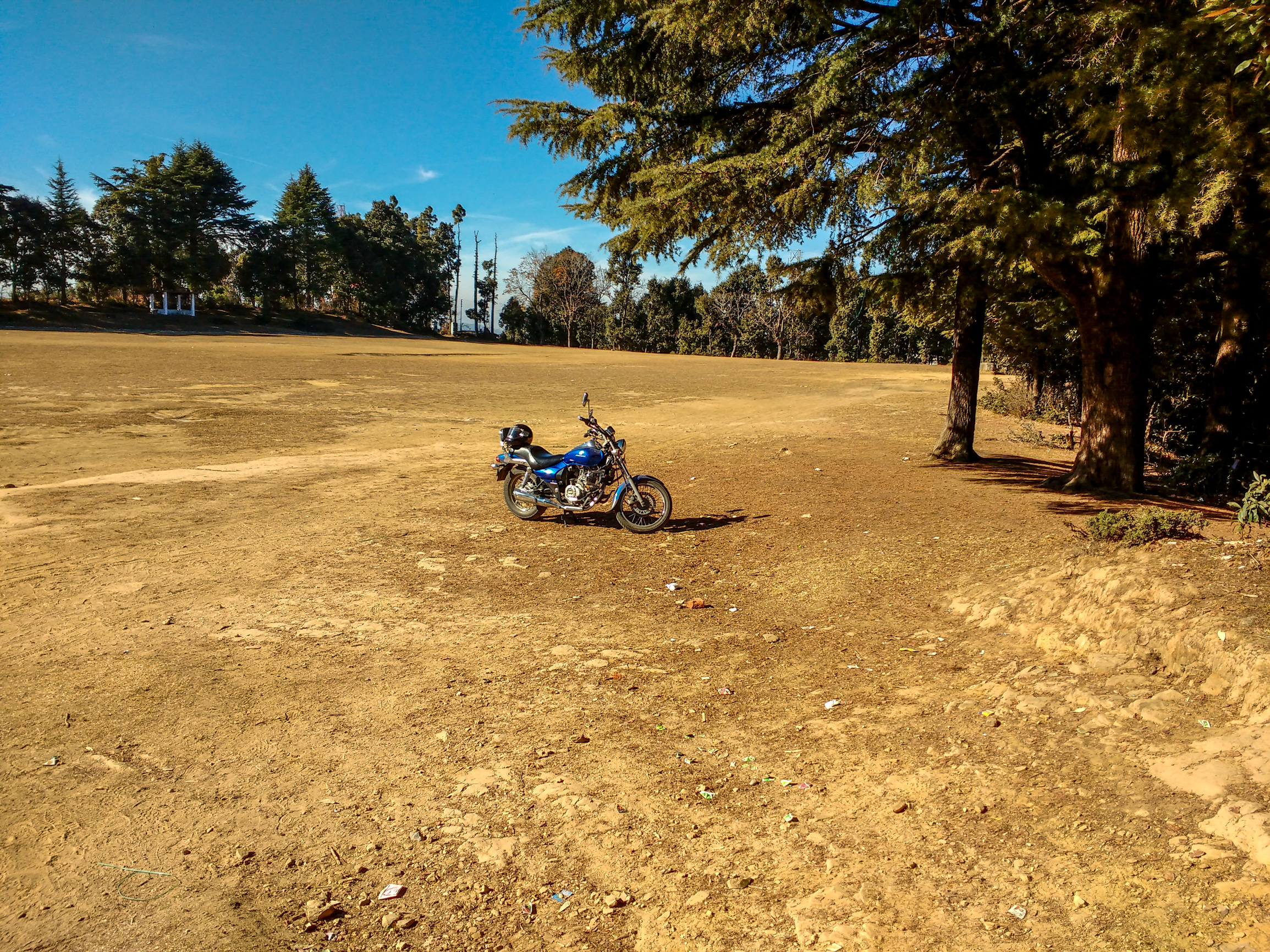
The playground at Abott Mount

The playground at Abott Mount
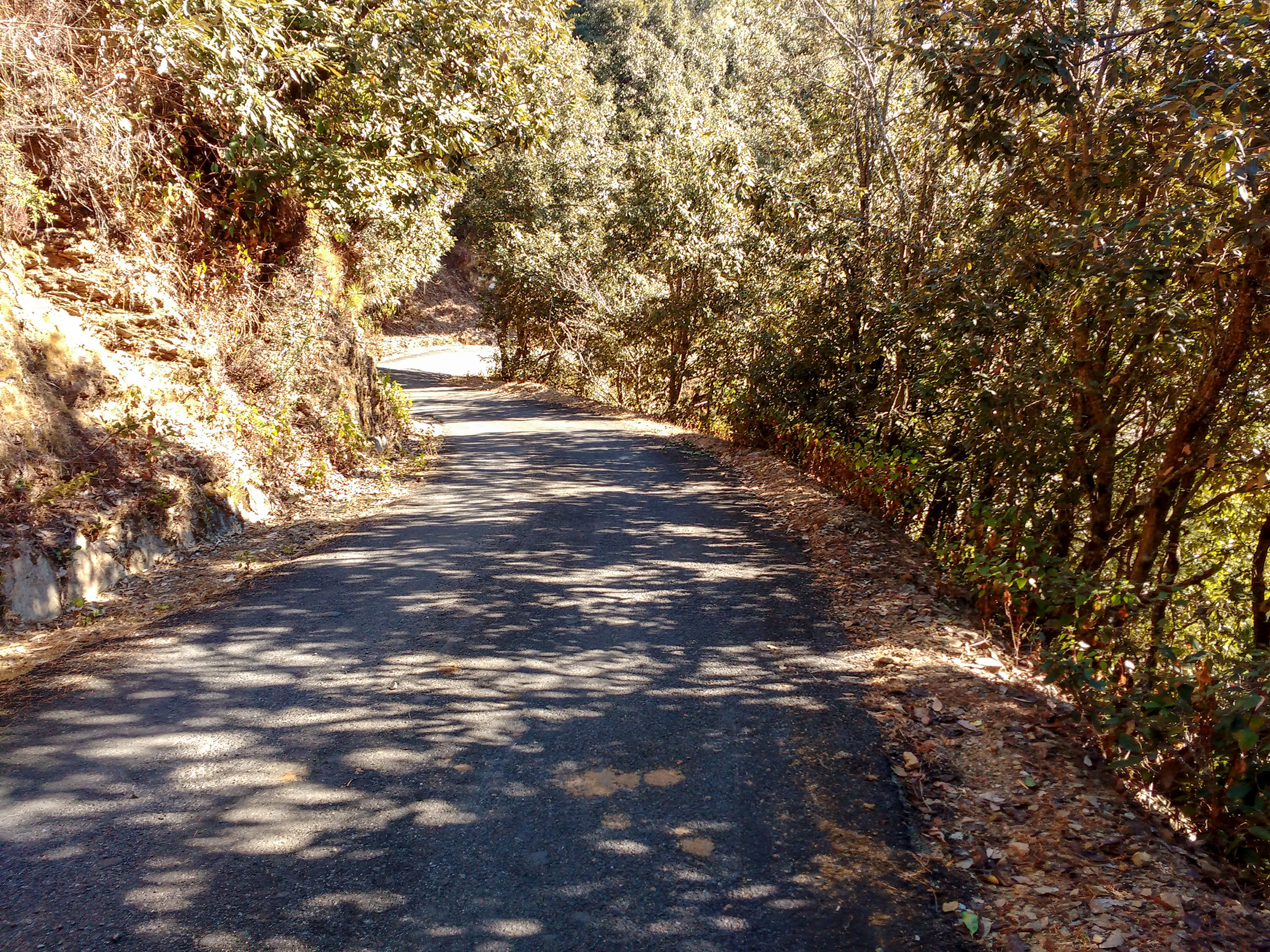
Road to Abott Mount Lohaghat
Topographic Map of Champawat, Uttarakhand, India
Find elevation by address:

Places in Champawat, Uttarakhand, India:
Places near Champawat, Uttarakhand, India:
Mayawati
Champawat
Lohaghat
Aambag
Chheni Talli
North Gola Range
Shaharfatak
Tallee Deeni
T.d.m. Jr. High School Paharpani Nainital
Nata Dol
North Gola Range
Sunder Khal
Latibunga
Sundarkhal
Sundarkhal
Uttarakhand, India
Kalapatal
Dhanachuli
Digantaa Resorts
Mukteshwar
Recent Searches:
- Elevation map of Greenland, Greenland
- Elevation of Sullivan Hill, New York, New York, 10002, USA
- Elevation of Morehead Road, Withrow Downs, Charlotte, Mecklenburg County, North Carolina, 28262, USA
- Elevation of 2800, Morehead Road, Withrow Downs, Charlotte, Mecklenburg County, North Carolina, 28262, USA
- Elevation of Yangbi Yi Autonomous County, Yunnan, China
- Elevation of Pingpo, Yangbi Yi Autonomous County, Yunnan, China
- Elevation of Mount Malong, Pingpo, Yangbi Yi Autonomous County, Yunnan, China
- Elevation map of Yongping County, Yunnan, China
- Elevation of North 8th Street, Palatka, Putnam County, Florida, 32177, USA
- Elevation of 107, Big Apple Road, East Palatka, Putnam County, Florida, 32131, USA
- Elevation of Jiezi, Chongzhou City, Sichuan, China
- Elevation of Chongzhou City, Sichuan, China
- Elevation of Huaiyuan, Chongzhou City, Sichuan, China
- Elevation of Qingxia, Chengdu, Sichuan, China
- Elevation of Corso Fratelli Cairoli, 35, Macerata MC, Italy
- Elevation of Tallevast Rd, Sarasota, FL, USA
- Elevation of 4th St E, Sonoma, CA, USA
- Elevation of Black Hollow Rd, Pennsdale, PA, USA
- Elevation of Oakland Ave, Williamsport, PA, USA
- Elevation of Pedrógão Grande, Portugal