Elevation of Brow Lake Rd, Soddy-Daisy, TN, USA
Location: United States > Tennessee > Hamilton County > Soddy-daisy > Montlake >
Longitude: -85.223203
Latitude: 35.239928
Elevation: 501m / 1644feet
Barometric Pressure: 95KPa
Elevation Map:
Satellite Map:
Related Photos:

Chickamauga sluice

Chickamauga Dam (and bridge)

Week 42: Orange

Toxicodendron radicans (Poison Ivy) Anacardiaceae

~Sunset Fishing~

ww scoter male Chickamauga2

Western Grebe

Falling Water Presbyterian Church

Sedum ternatum (Stonecrop) Crassulaceae

The View

Calycanthus floridus (Sweetshrub, Carolina Allspice) Calycanthaceae

Chickamauga Bridge

The Rock

Rhus aromatica (Fragrant Sumac) Anacardiaceae

Toxicodendron radicans (Poison Ivy) Anacardiaceae

Matelea gonocarpos (Anglepod, Milkvine) Asclepiadaceae

Fagus grandifolia (American Beech) Fagaceae

Recording Haven for your viewing pleasure today @ 2.

Conopholis americana (American Cancer-root) Orobanchaceae

Halesia tetraptera (Silverbell) Styracaceae

Toxicodendron radicans (Poison Ivy) Anacardiacaea

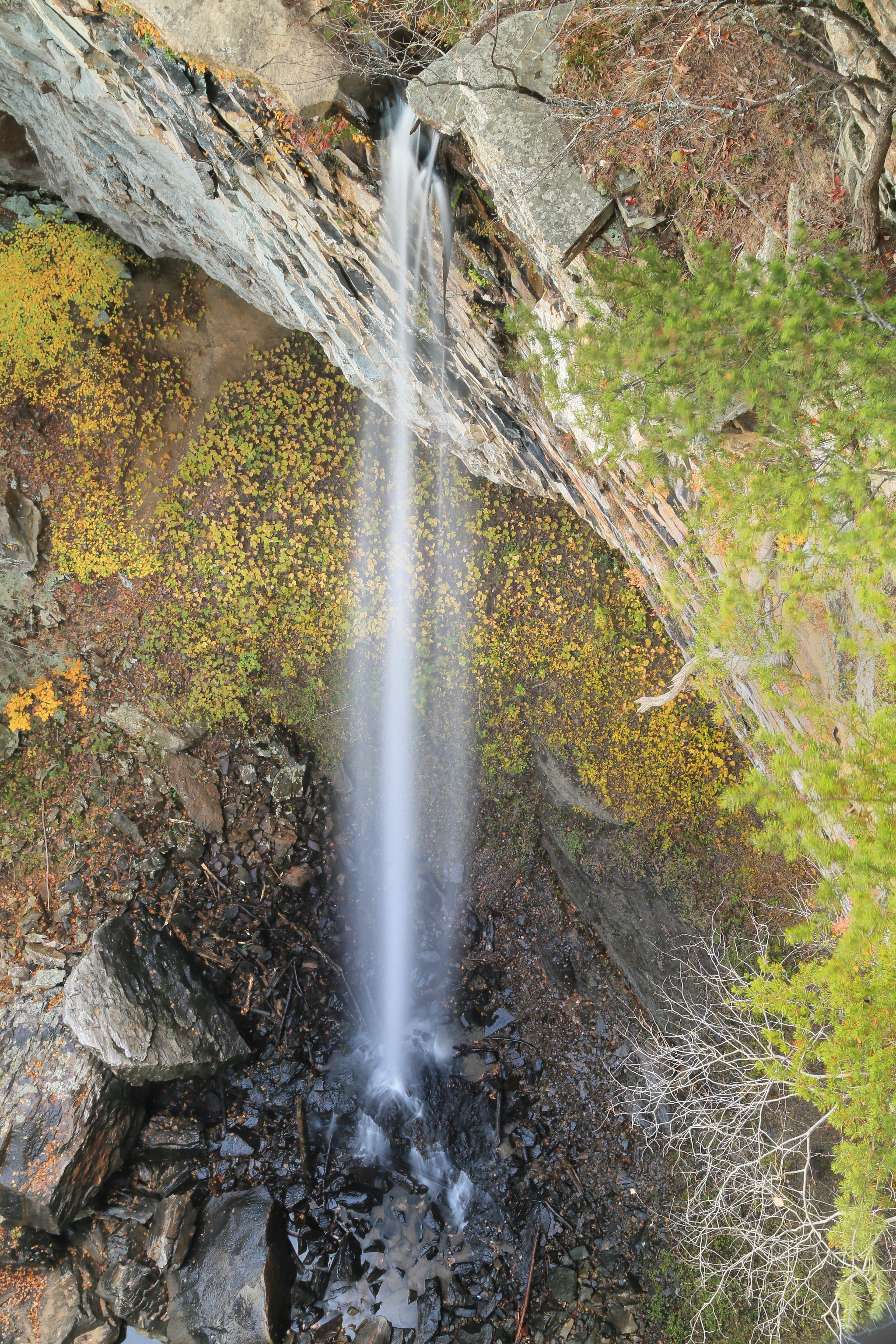
Little Possum Creek Falls [25'] {Imodium Falls}

Caution: Boulder
Imodium Falls (Little Possum Creek Falls) - Possum Creek Gorge Section of the Cumberland Trail
Soddy Creek, Cumberland Trail State Park, Hamilton County, Tennessee 1
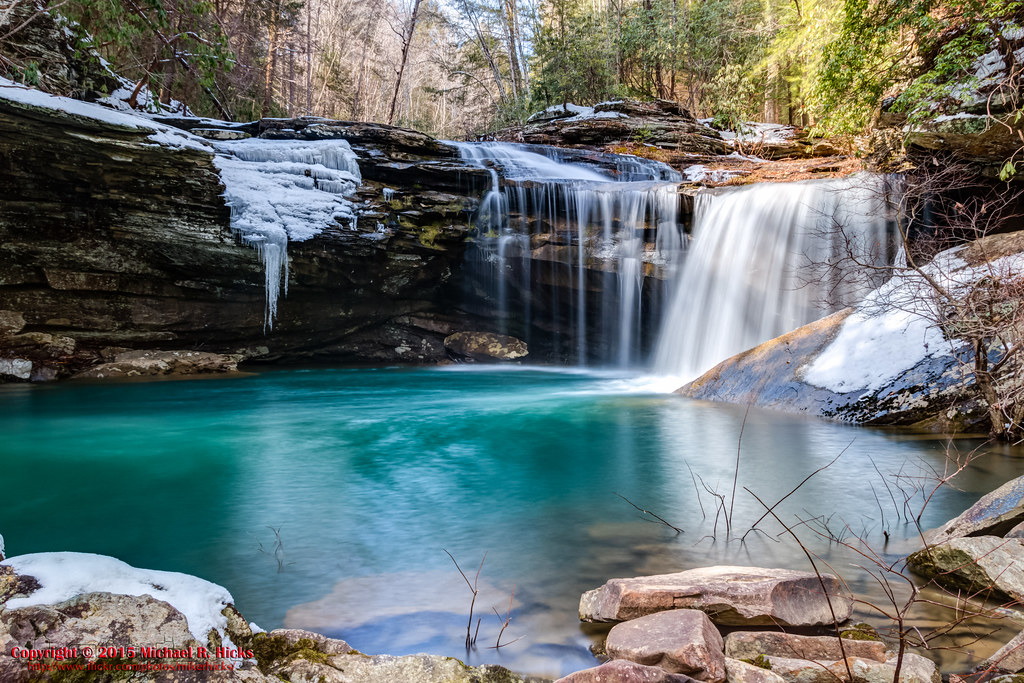
Falling Water Falls, Pickett Gulf, Falling Water Falls State Natural Area, Hamilton County, Tennessee 1

North Chickamauga Trail Segment of the Cumberland Trail

North Chickamauga Trail Segment of the Cumberland Trail

North Chickamauga Trail Segment of the Cumberland Trail

Little Possum Creek Falls [25'] {Imodium Falls}

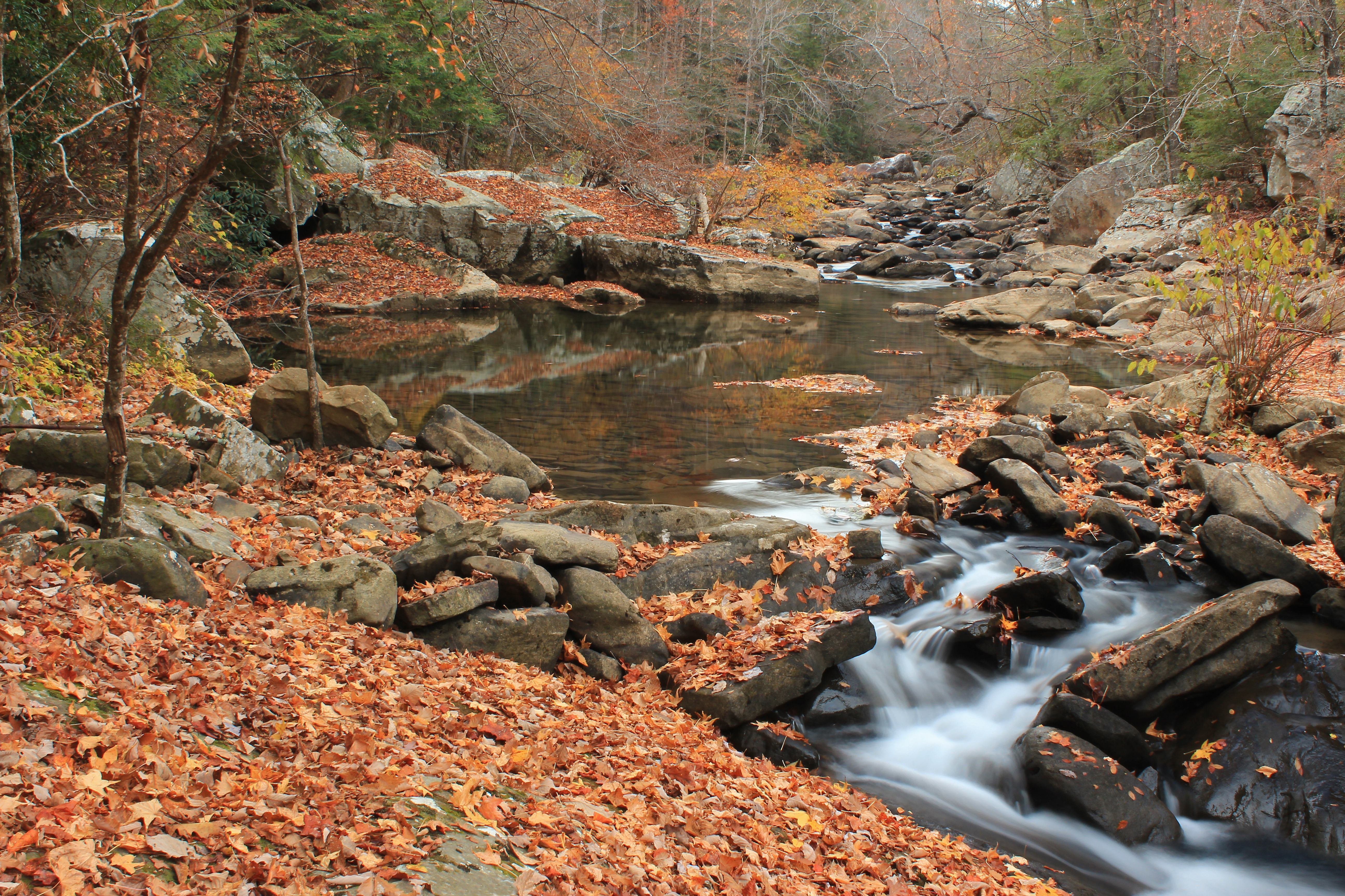
Big Possum Creek - Possum Creek Gorge Section of the Cumberland Trail

North Chickamauga Trail Segment of the Cumberland Trail

Little Possum Creek Falls [25'] {Imodium Falls}

Big Possum Creek - Possum Creek Gorge Section of the Cumberland Trail

Little Possum Creek Falls [25'] {Imodium Falls}

North Chickamauga Trail Segment of the Cumberland Trail

Little Possum Creek Falls [25'] {Imodium Falls}

NS Train 64Q

Great Blue Heron

Quiet Barn

NS 123, Chattanooga, TN
Topographic Map of Brow Lake Rd, Soddy-Daisy, TN, USA
Find elevation by address:

Places near Brow Lake Rd, Soddy-Daisy, TN, USA:
8618 Brow Lake Rd
911 Rose Marie Ct
1001 Montlake Rd
1001 Montlake Rd
Montlake
8818 Terrace Falls Dr
919 Sandstone Terrace
Terrace Falls Drive
9700 Millsaps Coal Rd
428 Mowbray Pike
Montlake Rd, Soddy-Daisy, TN, USA
Hamilton Avenue
205 Johnson Rd
Soddy-daisy
Dayton Pike, Soddy-Daisy, TN, USA
2300 Little Bend Rd
2216 Poe Rd
8620 Brookplace Dr
Rockdale Ln, Hixson, TN, USA
7714 Selcer Rd
Recent Searches:
- Elevation of Corso Fratelli Cairoli, 35, Macerata MC, Italy
- Elevation of Tallevast Rd, Sarasota, FL, USA
- Elevation of 4th St E, Sonoma, CA, USA
- Elevation of Black Hollow Rd, Pennsdale, PA, USA
- Elevation of Oakland Ave, Williamsport, PA, USA
- Elevation of Pedrógão Grande, Portugal
- Elevation of Klee Dr, Martinsburg, WV, USA
- Elevation of Via Roma, Pieranica CR, Italy
- Elevation of Tavkvetili Mountain, Georgia
- Elevation of Hartfords Bluff Cir, Mt Pleasant, SC, USA