Elevation of Rockdale Ln, Hixson, TN, USA
Location: United States > Tennessee > Hamilton County > Hixson >
Longitude: -85.205722
Latitude: 35.202805
Elevation: 256m / 840feet
Barometric Pressure: 98KPa
Elevation Map:
Satellite Map:
Related Photos:

~Sunset Fishing~
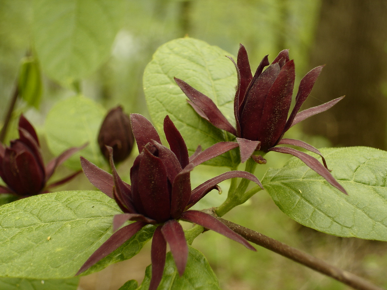
Calycanthus floridus (Sweetshrub, Carolina Allspice) Calycanthaceae
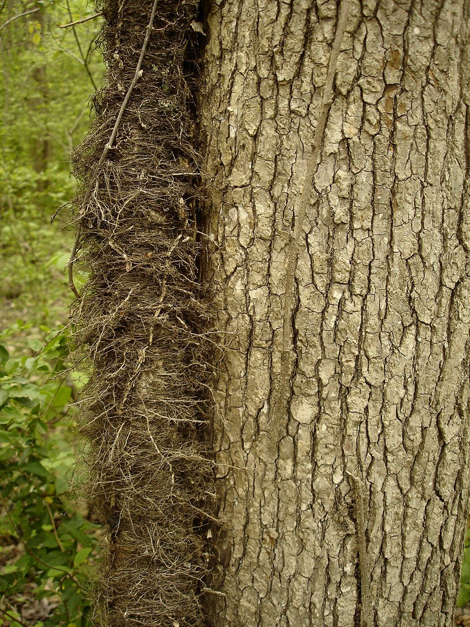
Toxicodendron radicans (Poison Ivy) Anacardiaceae
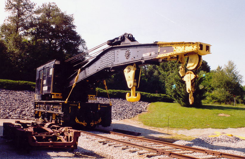
Southern Railroad Crane Car #903008 (Front View)
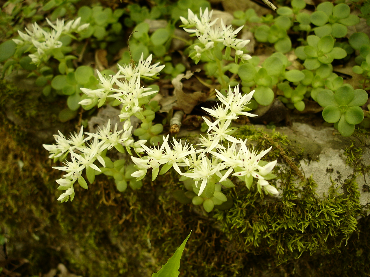
Sedum ternatum (Stonecrop) Crassulaceae
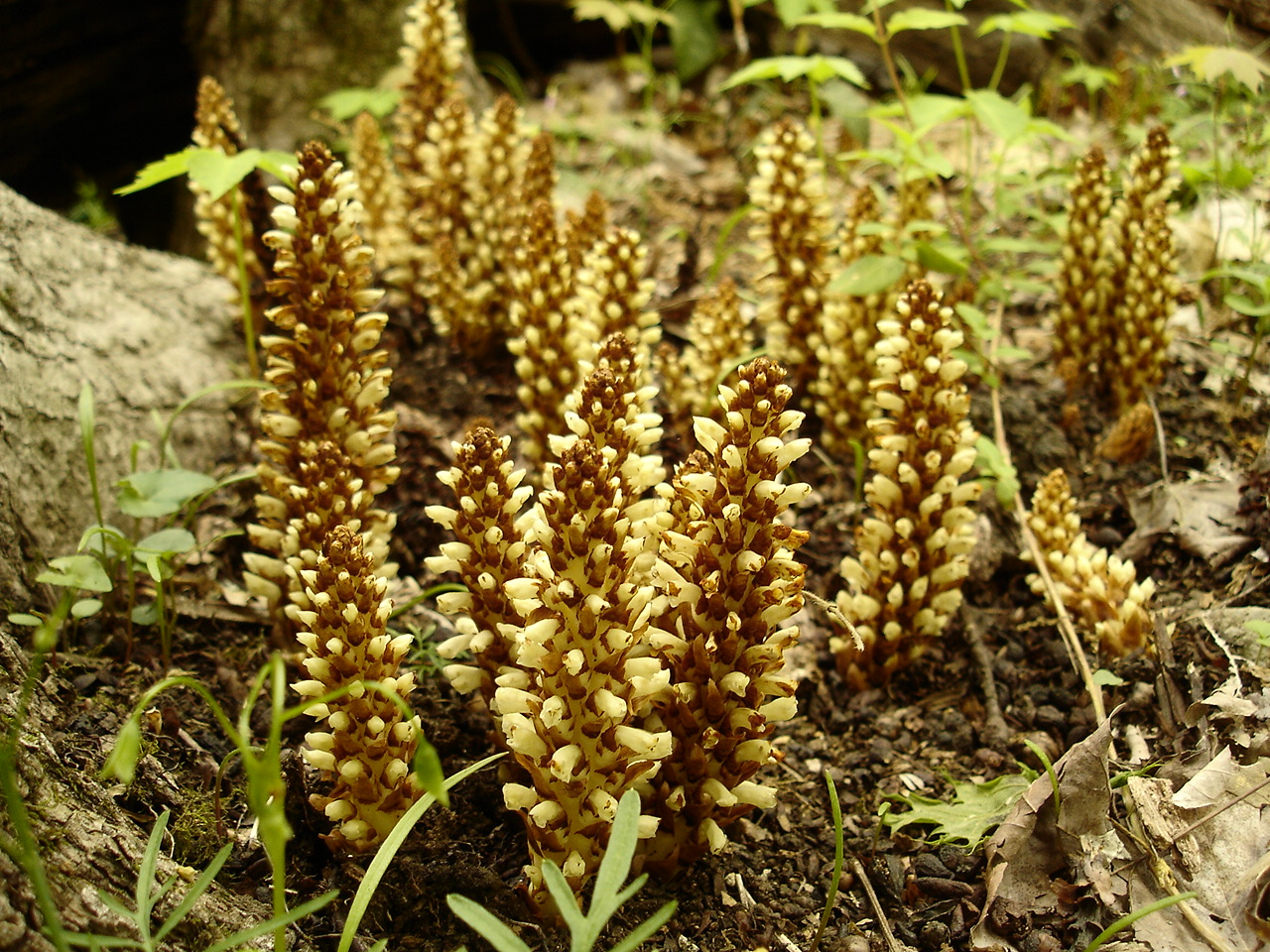
Conopholis americana (American Cancer-root) Orobanchaceae
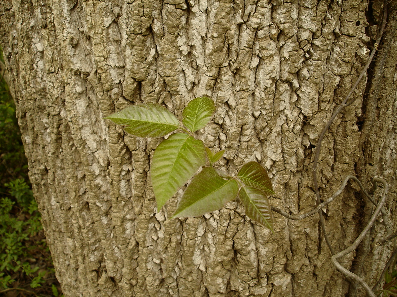
Toxicodendron radicans (Poison Ivy) Anacardiaceae
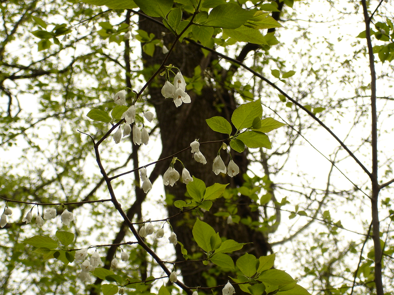
Halesia tetraptera (Silverbell) Styracaceae
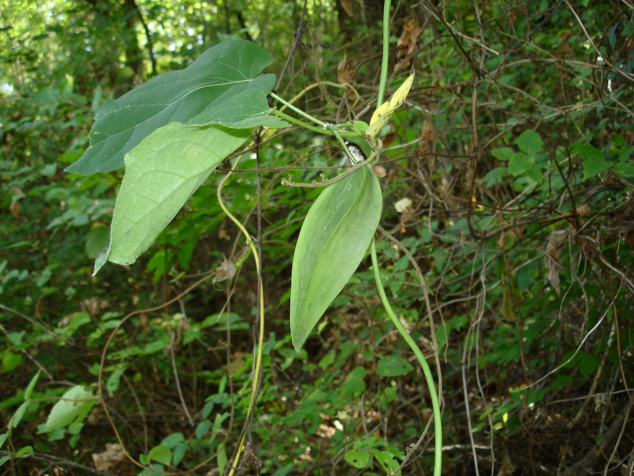
Matelea gonocarpos (Anglepod, Milkvine) Asclepiadaceae
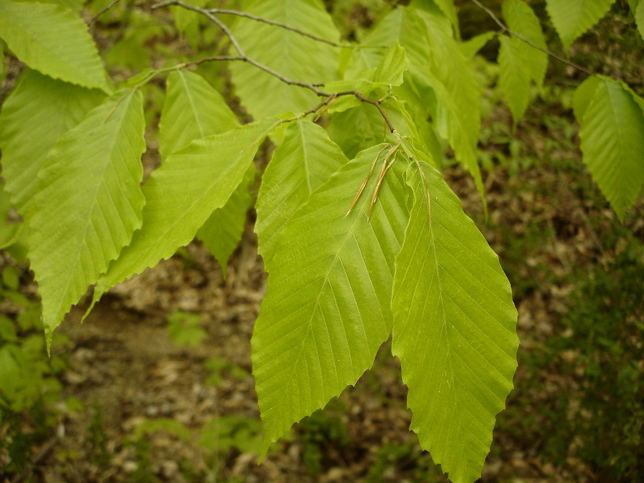
Fagus grandifolia (American Beech) Fagaceae

Week 42: Orange
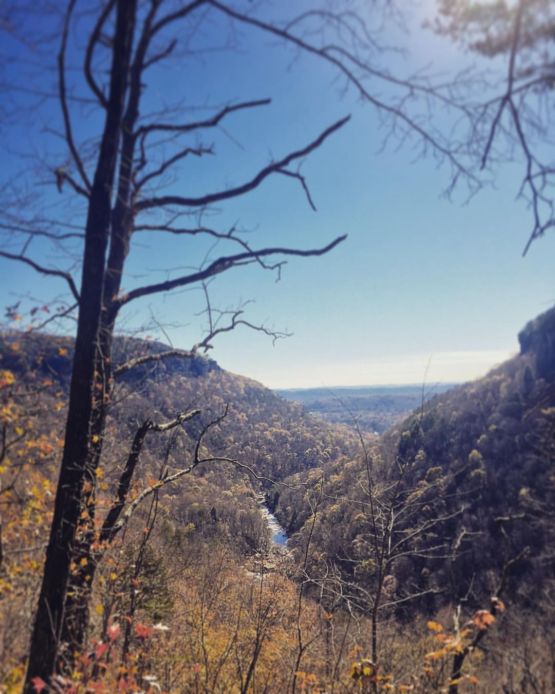
Sometimes you get the best views once the leaves have fallen ???????? #chatt #chattanooga #noog #nooga #noogagram #nashvilleexplorersclub #mountains #moretoexplore #letscamp #livelocallytn #onlytennisee #outside #outdoors #instagramtennes

Lake view

Must be an interesting place to work. I bet it has a good view.

Common Loon
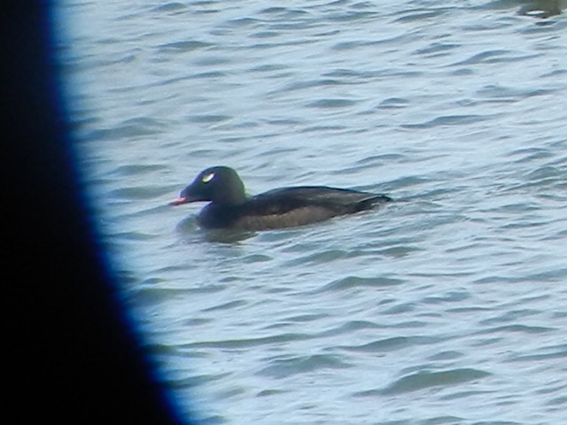
ww scoter male Chickamauga2

Lake view
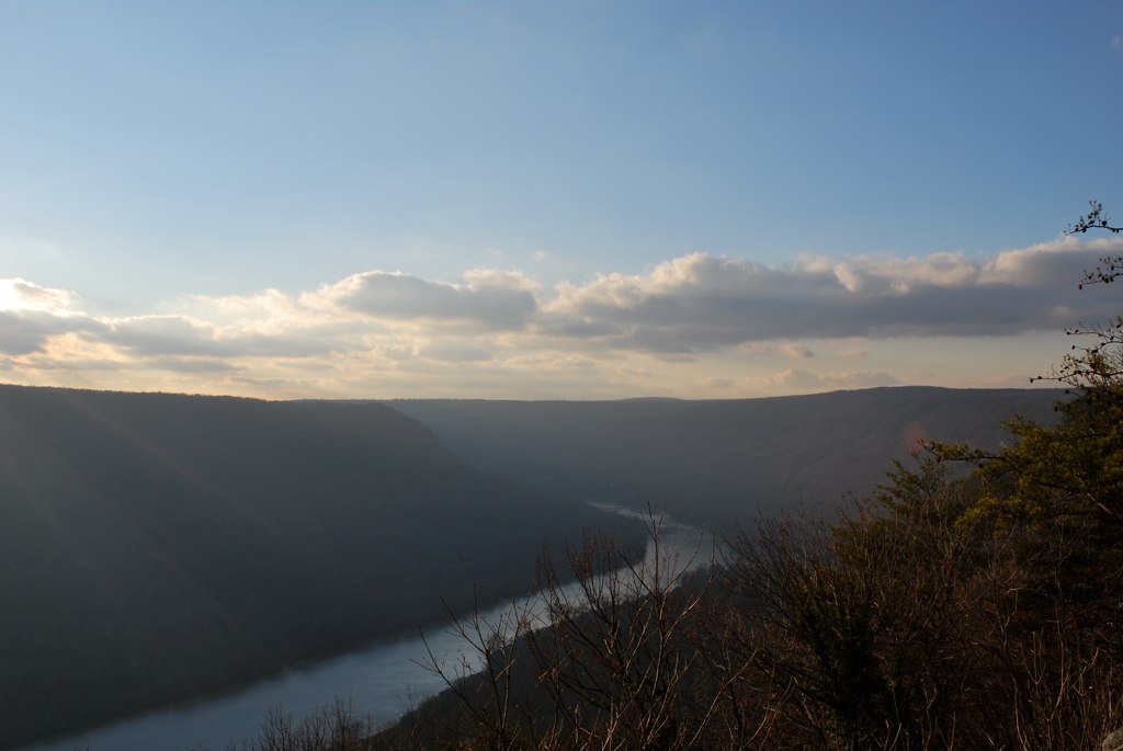
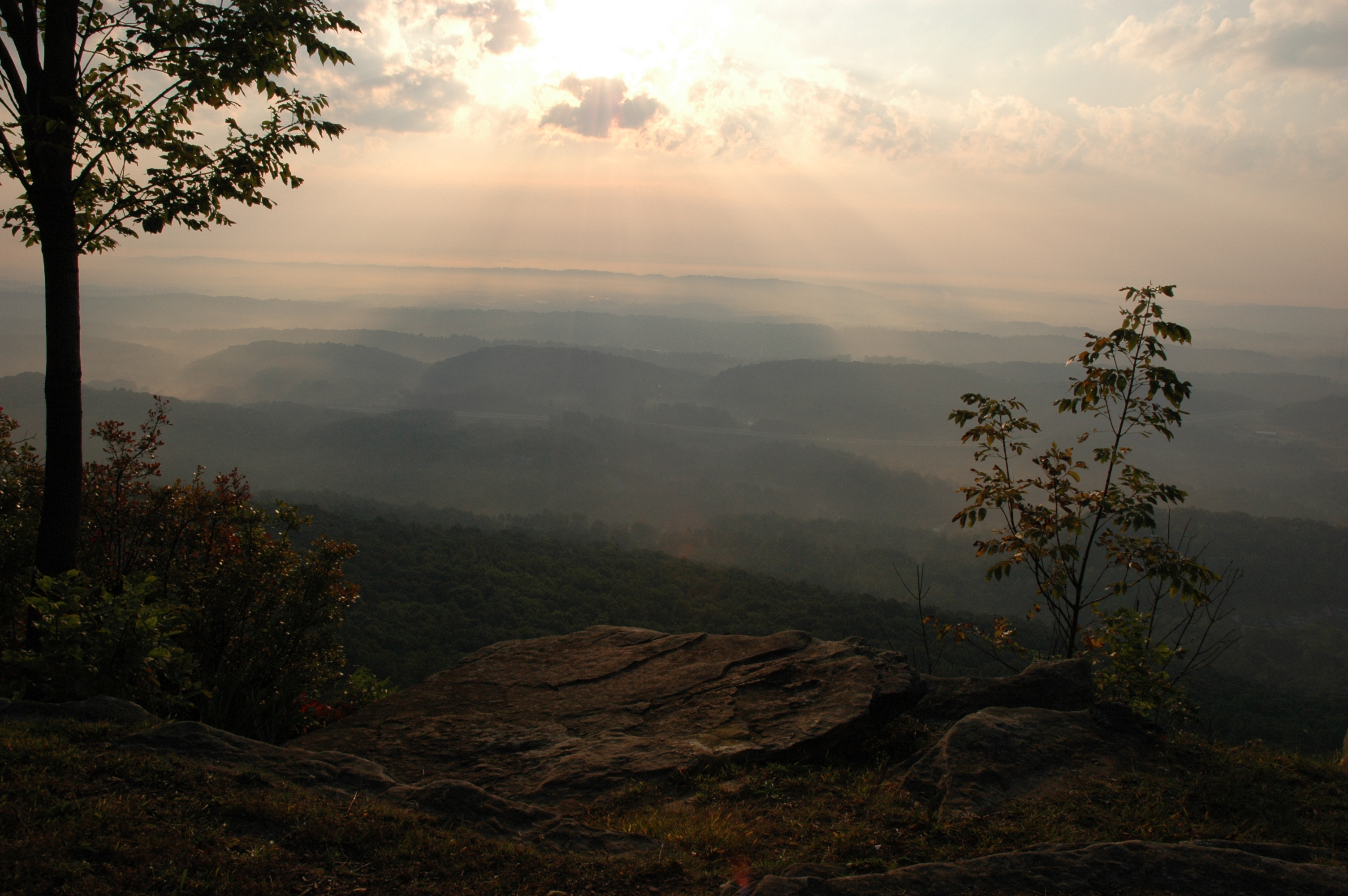
The View from Signal Mountain

The View from Signal Mountain
WBrowSignalMtn-4
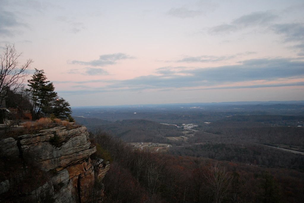
The View from Signal Mountain

Caution: Boulder
North Chickamauga Trail Segment of the Cumberland Trail
Fall is in full force. ????????????????#exploreTN #exploremore #explore #rei #rei1440project #RedefineTheOutdoors #tn #tnwild #tennessee #ighikers #igerstennessee #instagramtennessee #outside #outdoors #OutdoorsUSA #onlyt
North Chickamauga Trail Segment of the Cumberland Trail
North Chickamauga Trail Segment of the Cumberland Trail
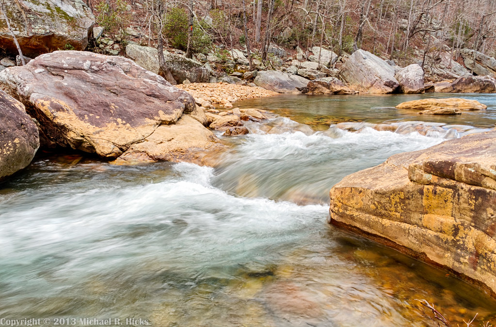
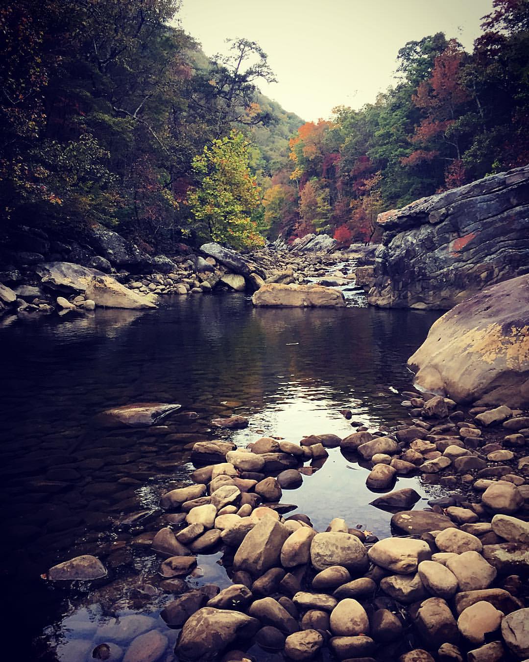
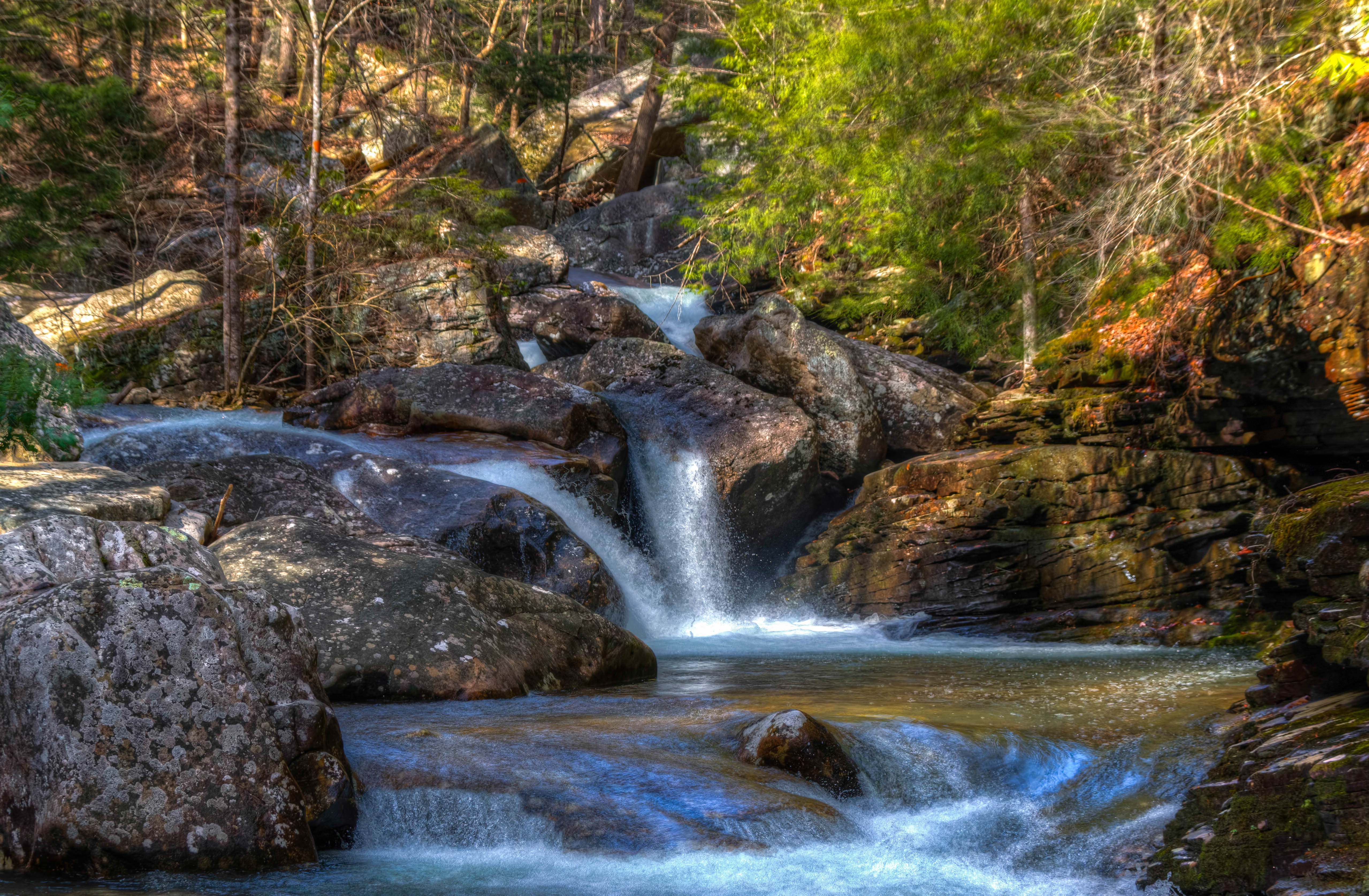
Chickamauga Creek - North Chickamauga Trail Segment of the Cumberland Trail - February 16, 2013
North Chickamauga Trail Segment of the Cumberland Trail

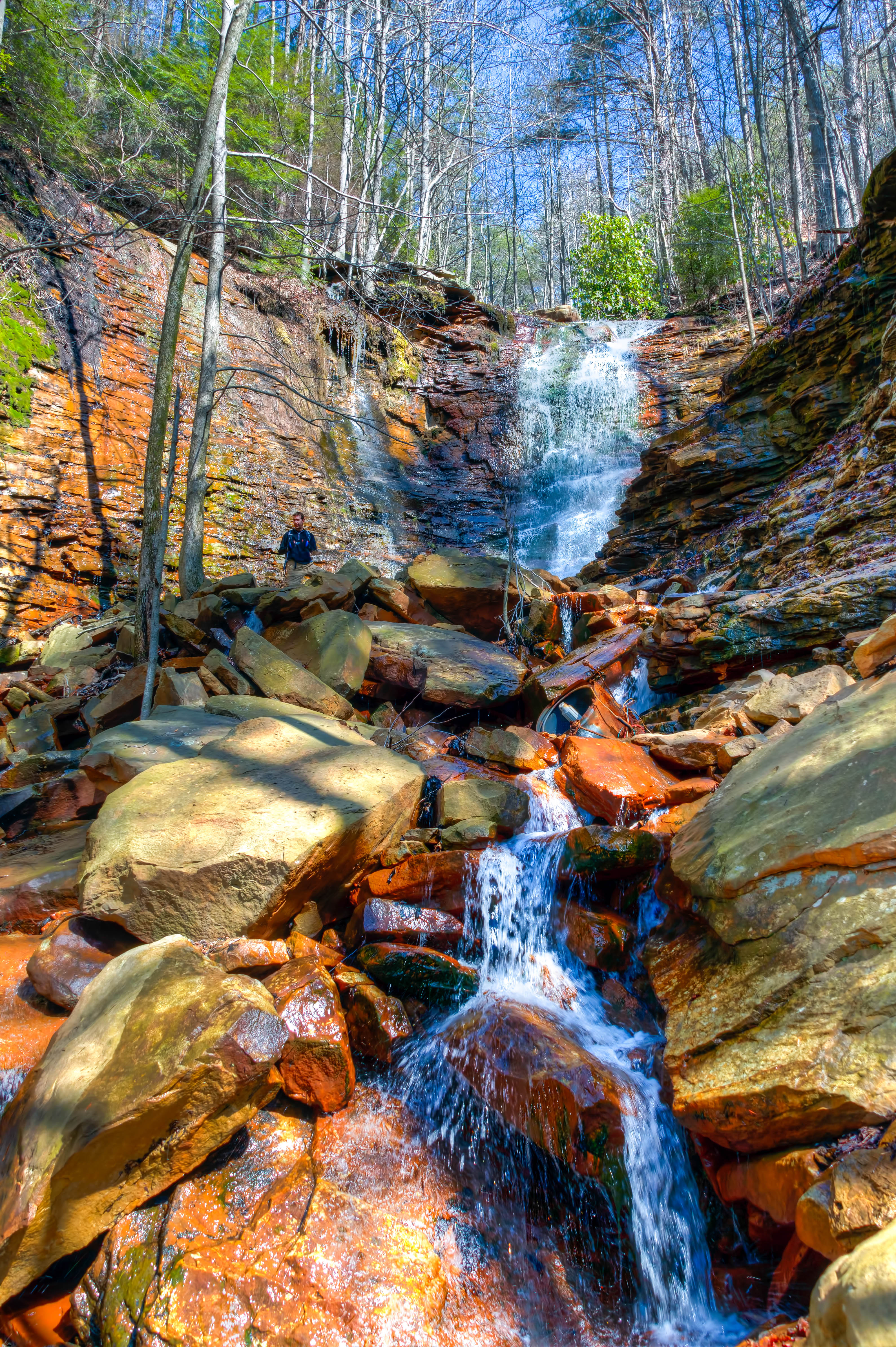
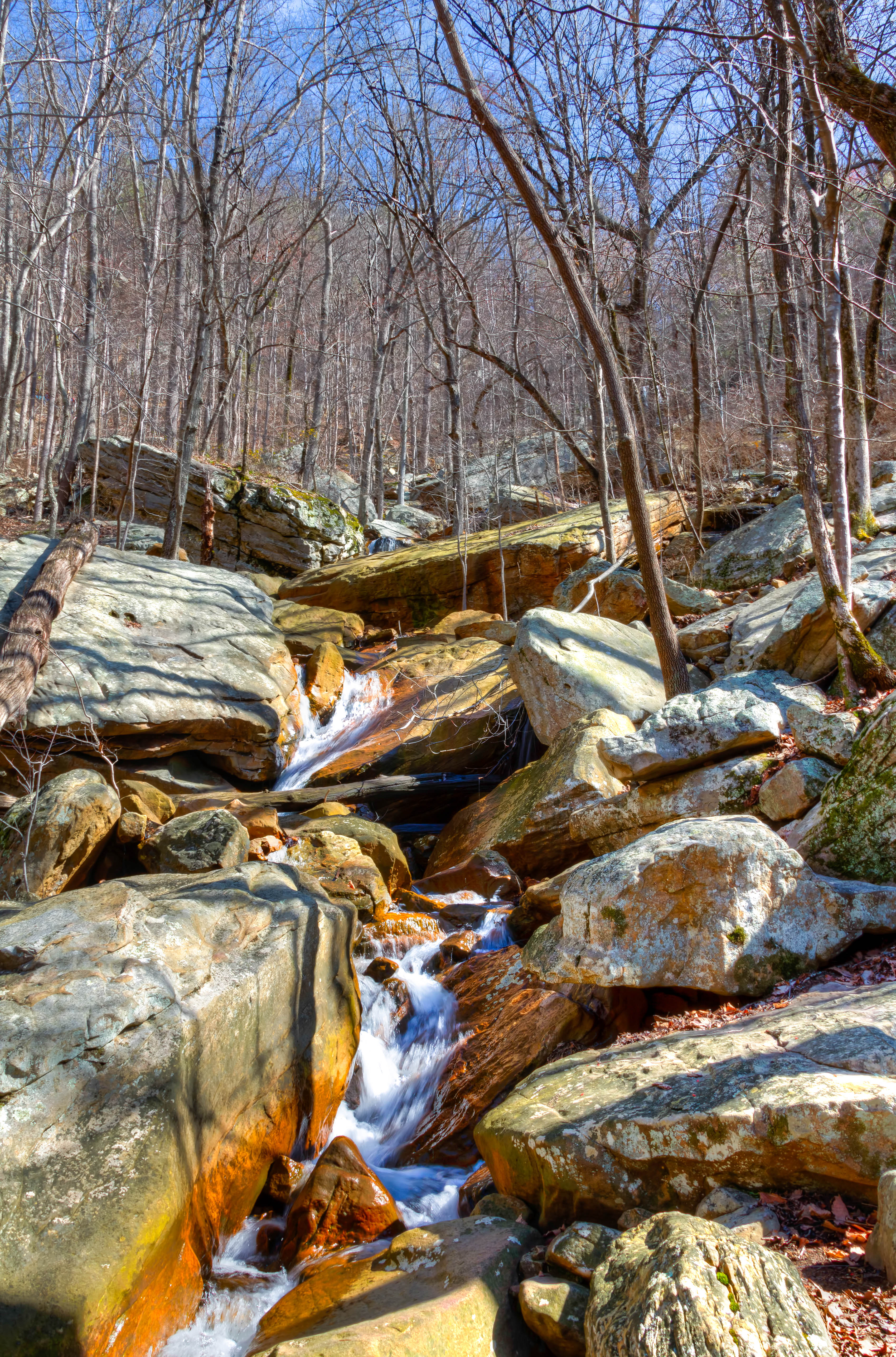
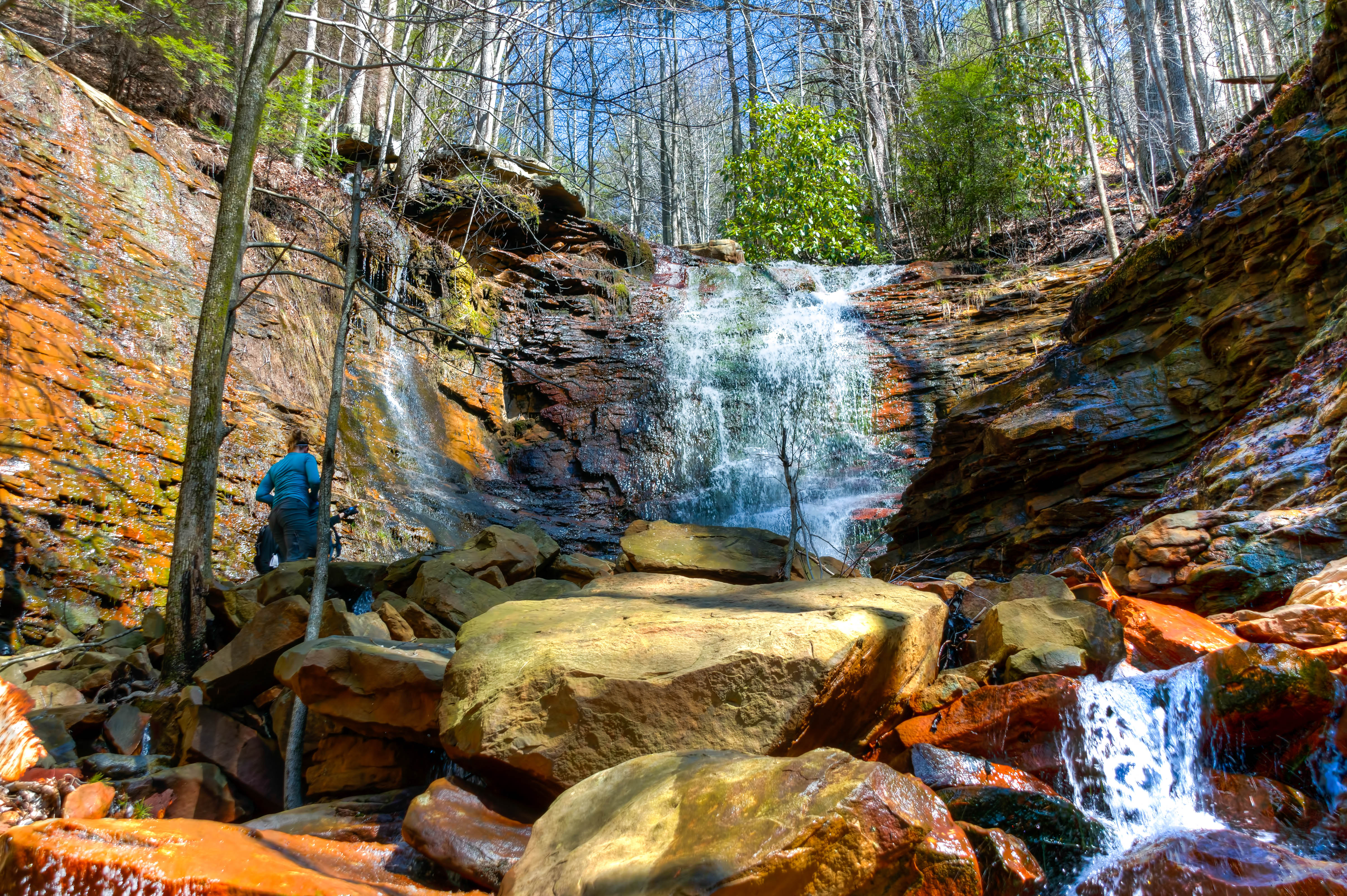
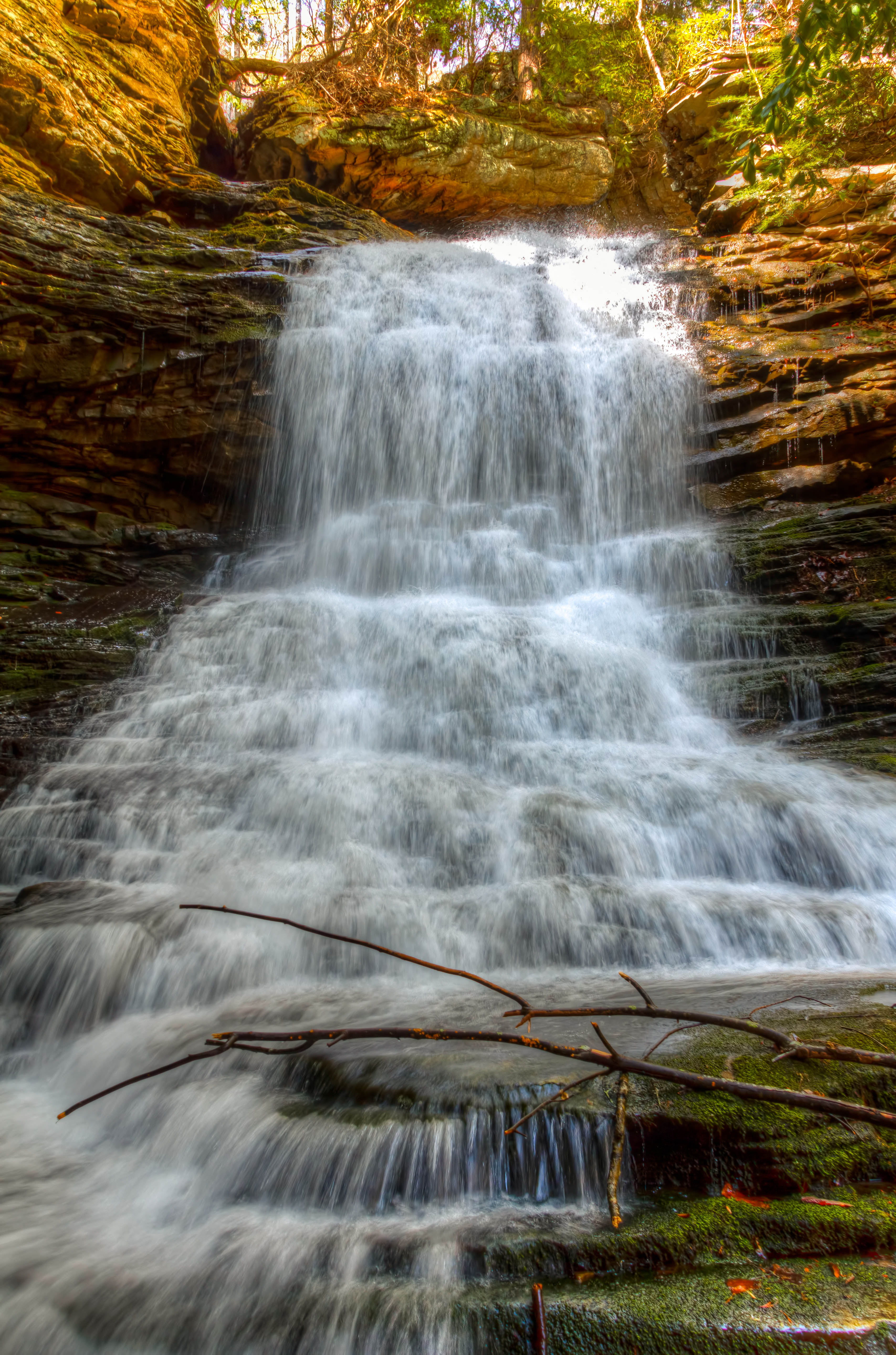
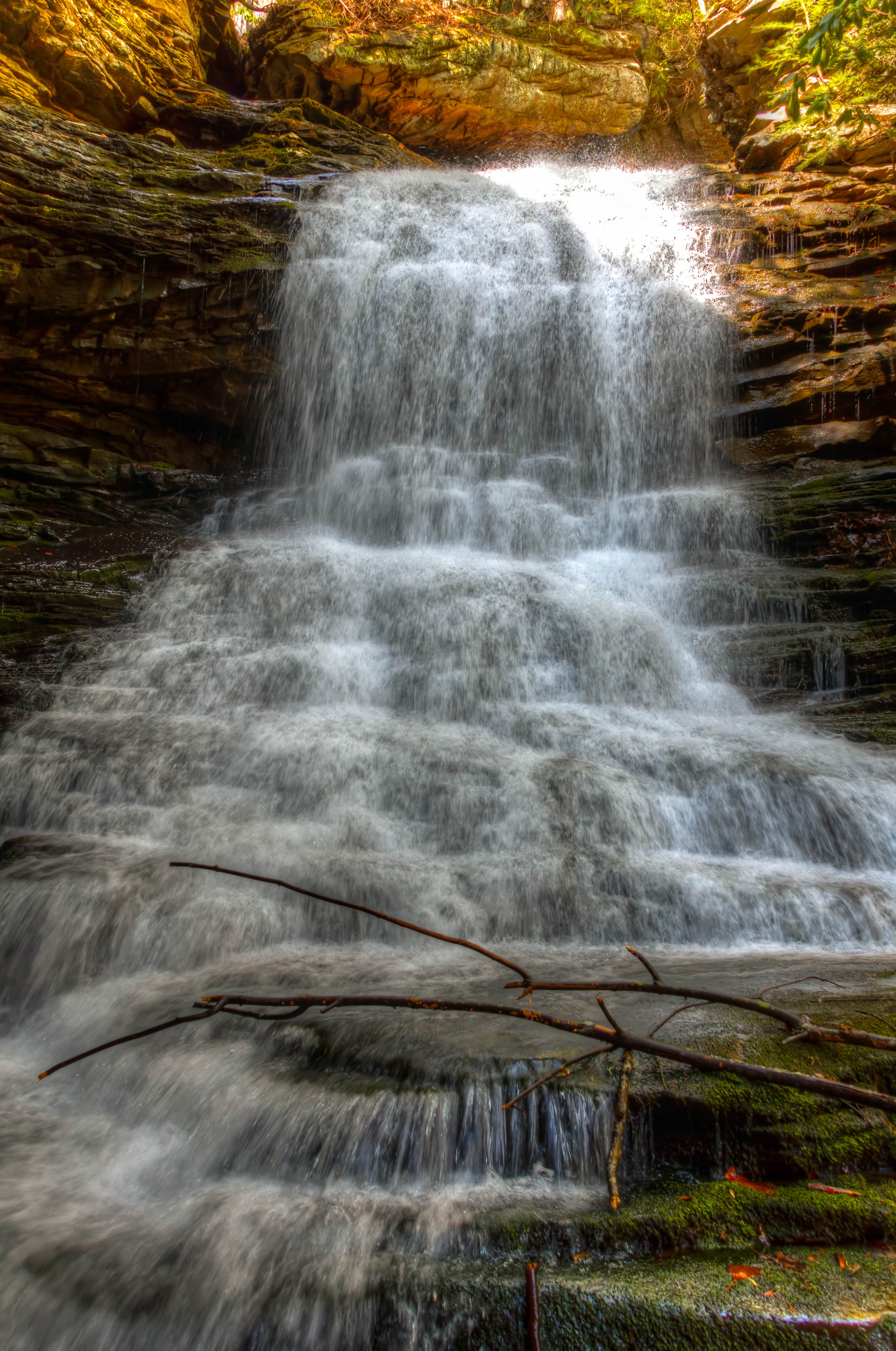
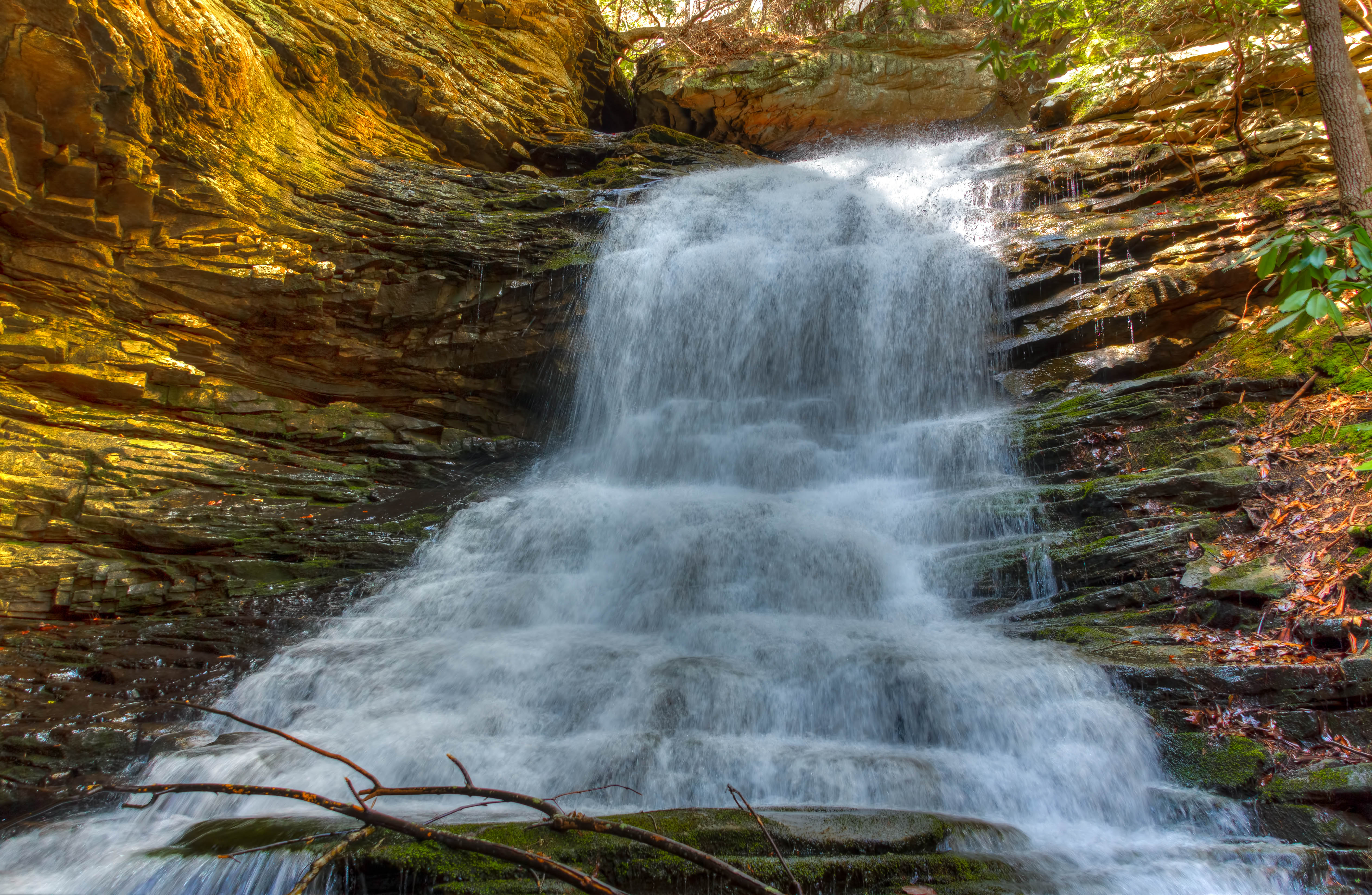
Cooper Creek Falls - North Chickamauga Trail Segment of the Cumberland Trail - February 16, 2013

Chickamauga Dam
North Chickamauga Trail Segment of the Cumberland Trail

Great Blue Heron
North Chickamauga Trail Segment of the Cumberland Trail
North Chickamauga Trail Segment of the Cumberland Trail

North Chickamauga Trail Segment of the Cumberland Trail - February 16, 2013

NS Train 64Q

Cooper Creek Falls - North Chickamauga Trail Segment of the Cumberland Trail - February 16, 2013
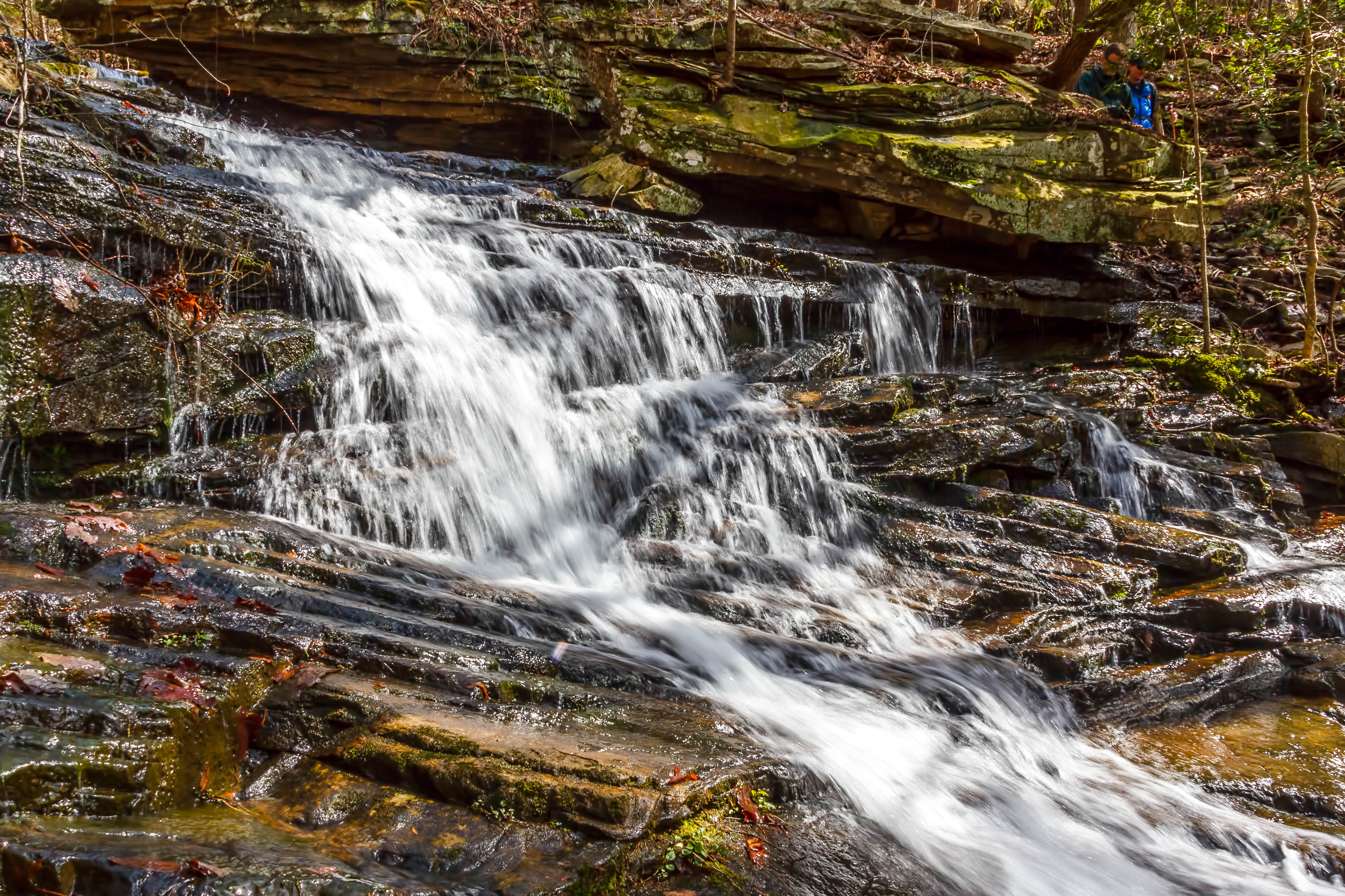
North Chickamauga Trail Segment of the Cumberland Trail
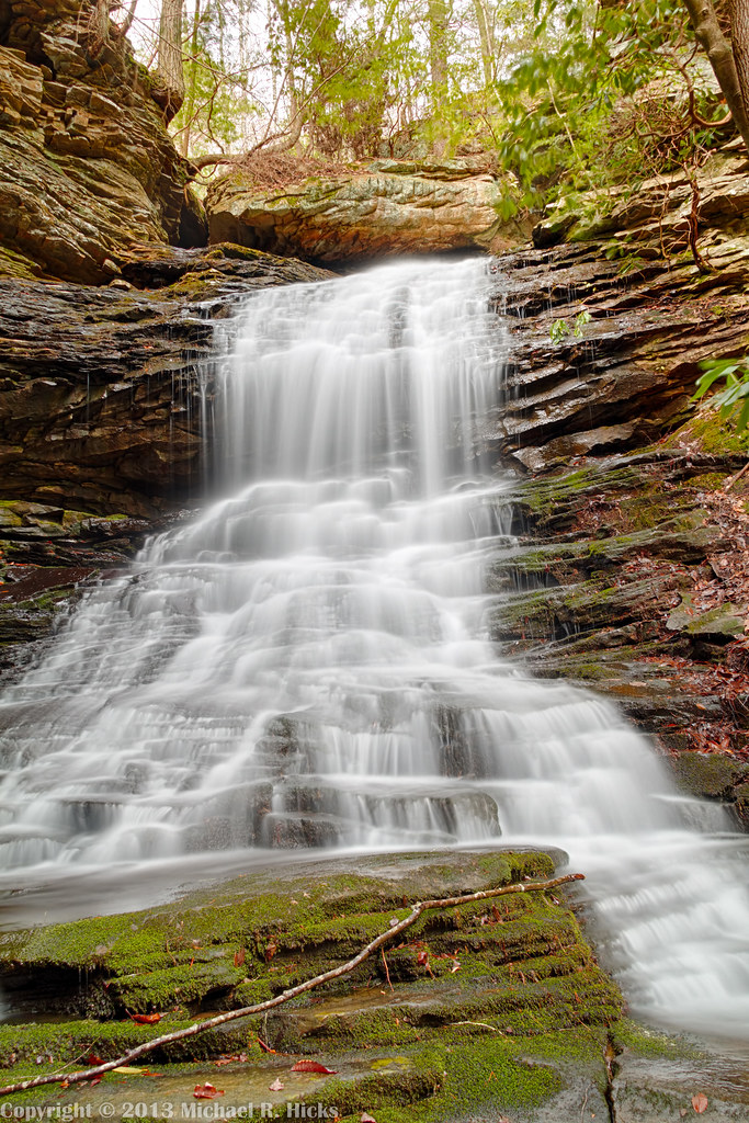
Cooper Creek Falls - North Chickamauga Trail Segment of the Cumberland Trail - February 16, 2013
North Chickamauga Trail Segment of the Cumberland Trail
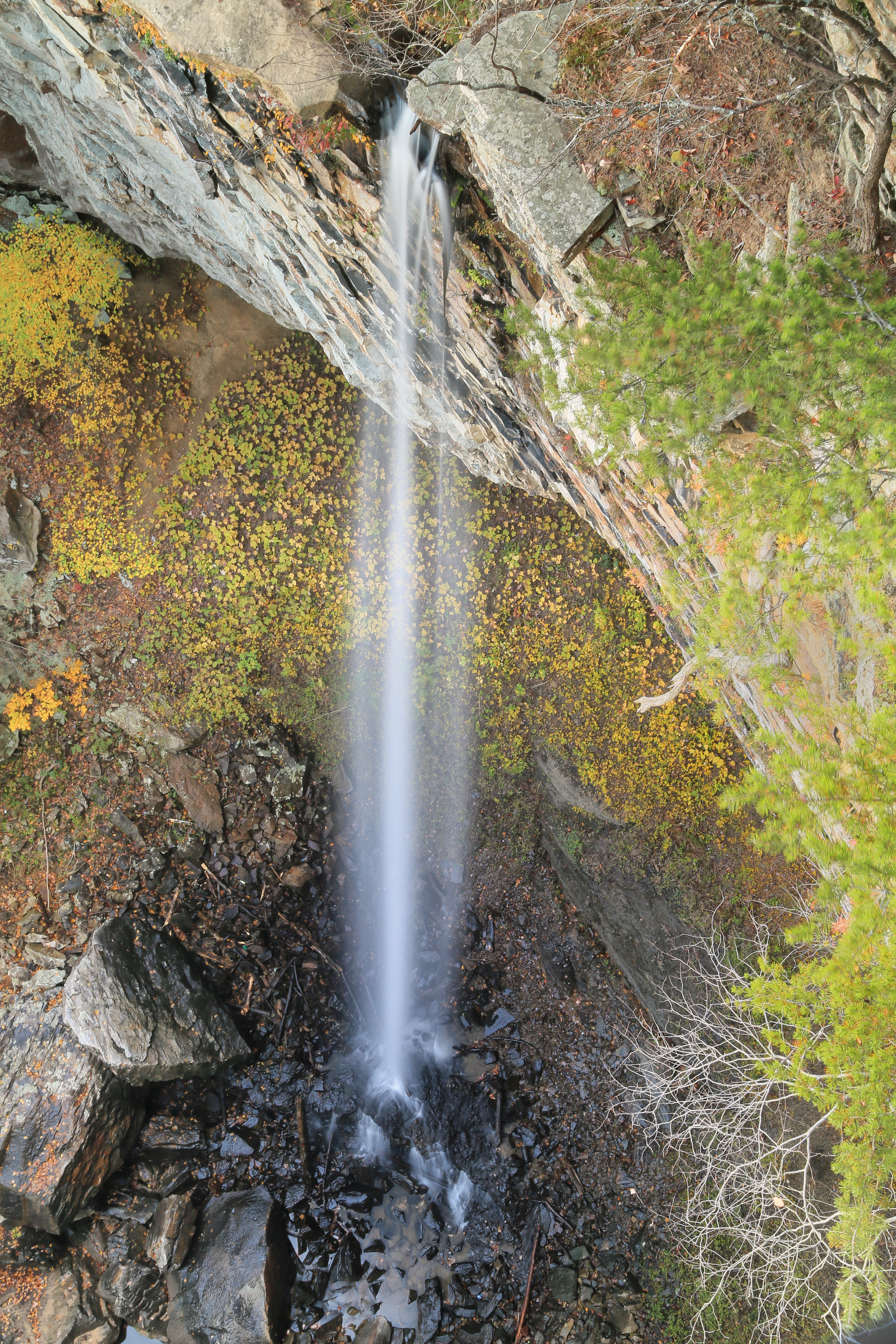
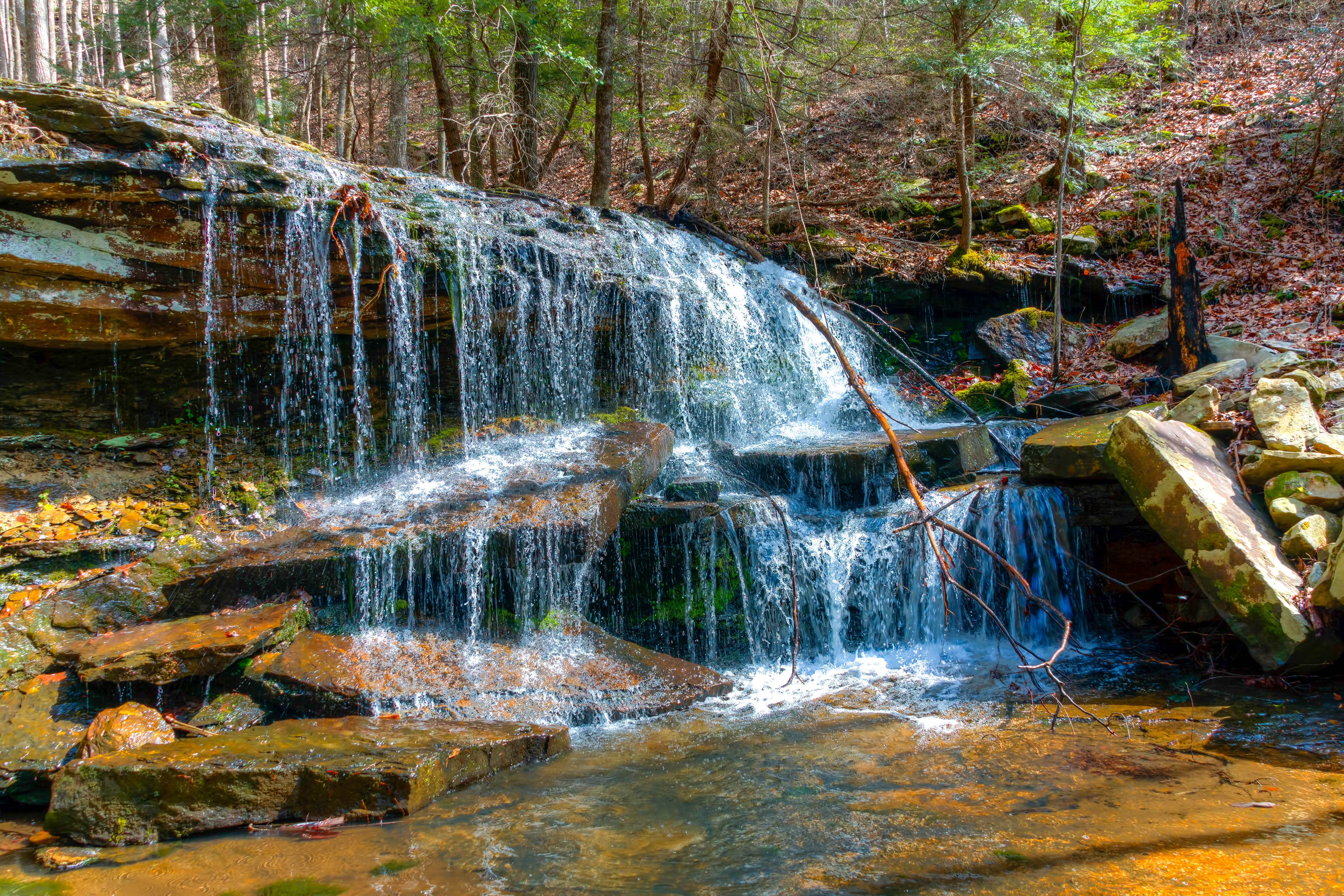
Falling Water Falls, Pickett Gulf, Falling Water Falls State Natural Area, Hamilton County, Tennessee 1
Topographic Map of Rockdale Ln, Hixson, TN, USA
Find elevation by address:

Places near Rockdale Ln, Hixson, TN, USA:
444 Sevier St
8620 Brookplace Dr
816 Brook Run Dr
1528 W Crabtree Rd
810 S Valleywood Cir
Shadwick Cemetery
Middle Valley
914 Spurling Dr
916 Spurling Dr
918 Spurling Dr
McCormack Dr, Hixson, TN, USA
920 Spurling Dr
922 Spurling Dr
Save-a-lot
205 Johnson Rd
Soddy-daisy
8818 Terrace Falls Dr
Terrace Falls Drive
233 Dolores Dr
Hamilton Avenue
Recent Searches:
- Elevation of Corso Fratelli Cairoli, 35, Macerata MC, Italy
- Elevation of Tallevast Rd, Sarasota, FL, USA
- Elevation of 4th St E, Sonoma, CA, USA
- Elevation of Black Hollow Rd, Pennsdale, PA, USA
- Elevation of Oakland Ave, Williamsport, PA, USA
- Elevation of Pedrógão Grande, Portugal
- Elevation of Klee Dr, Martinsburg, WV, USA
- Elevation of Via Roma, Pieranica CR, Italy
- Elevation of Tavkvetili Mountain, Georgia
- Elevation of Hartfords Bluff Cir, Mt Pleasant, SC, USA