Elevation of Brookplace Dr, Hixson, TN, USA
Location: United States > Tennessee > Hamilton County > Hixson >
Longitude: -85.195010
Latitude: 35.2121194
Elevation: 279m / 915feet
Barometric Pressure: 98KPa
Elevation Map:
Satellite Map:
Related Photos:

Chickamauga Dam (and bridge)

Toxicodendron radicans (Poison Ivy) Anacardiaceae

Chickamauga Bridge

Rhus aromatica (Fragrant Sumac) Anacardiaceae

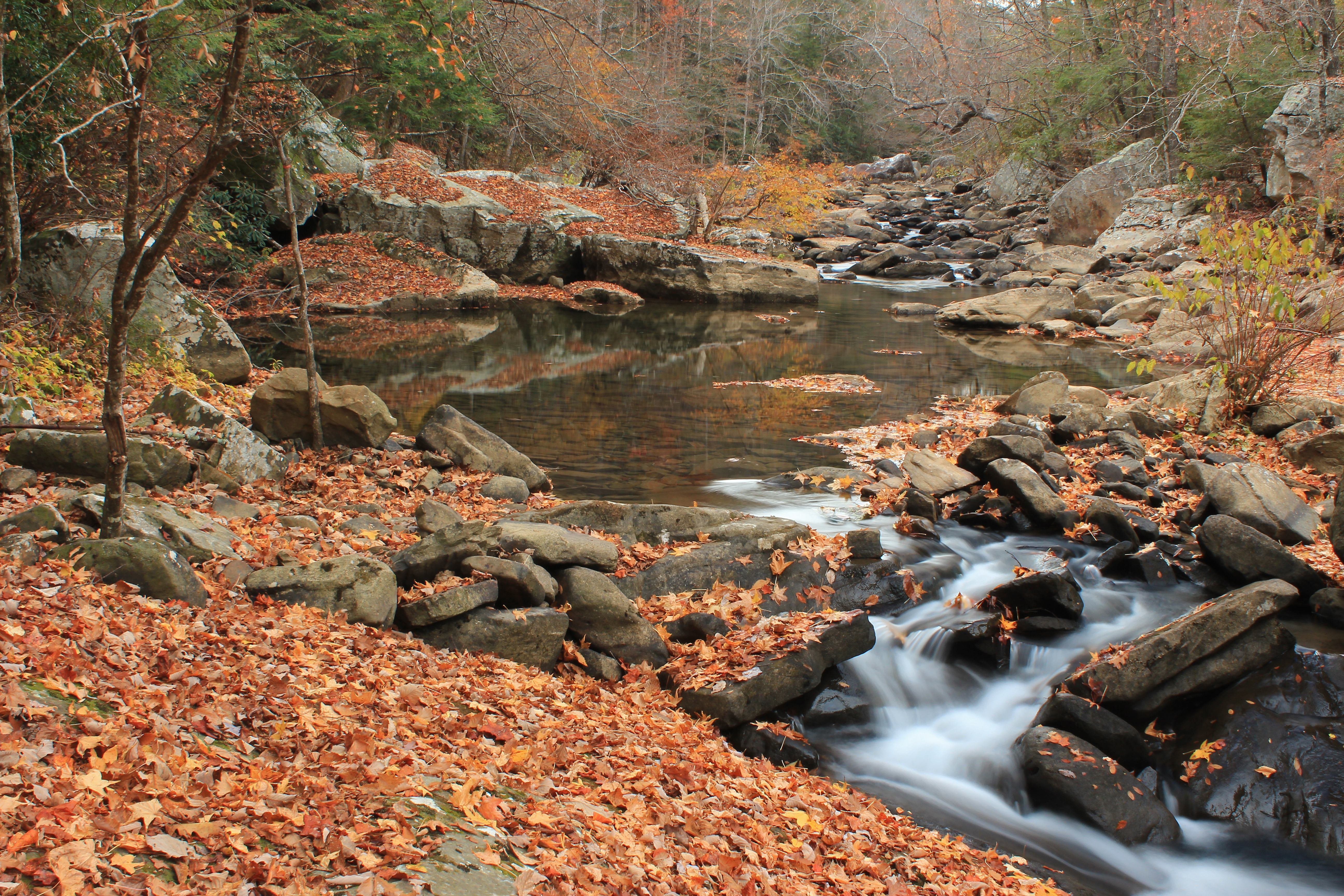
Chickamauga Gorge
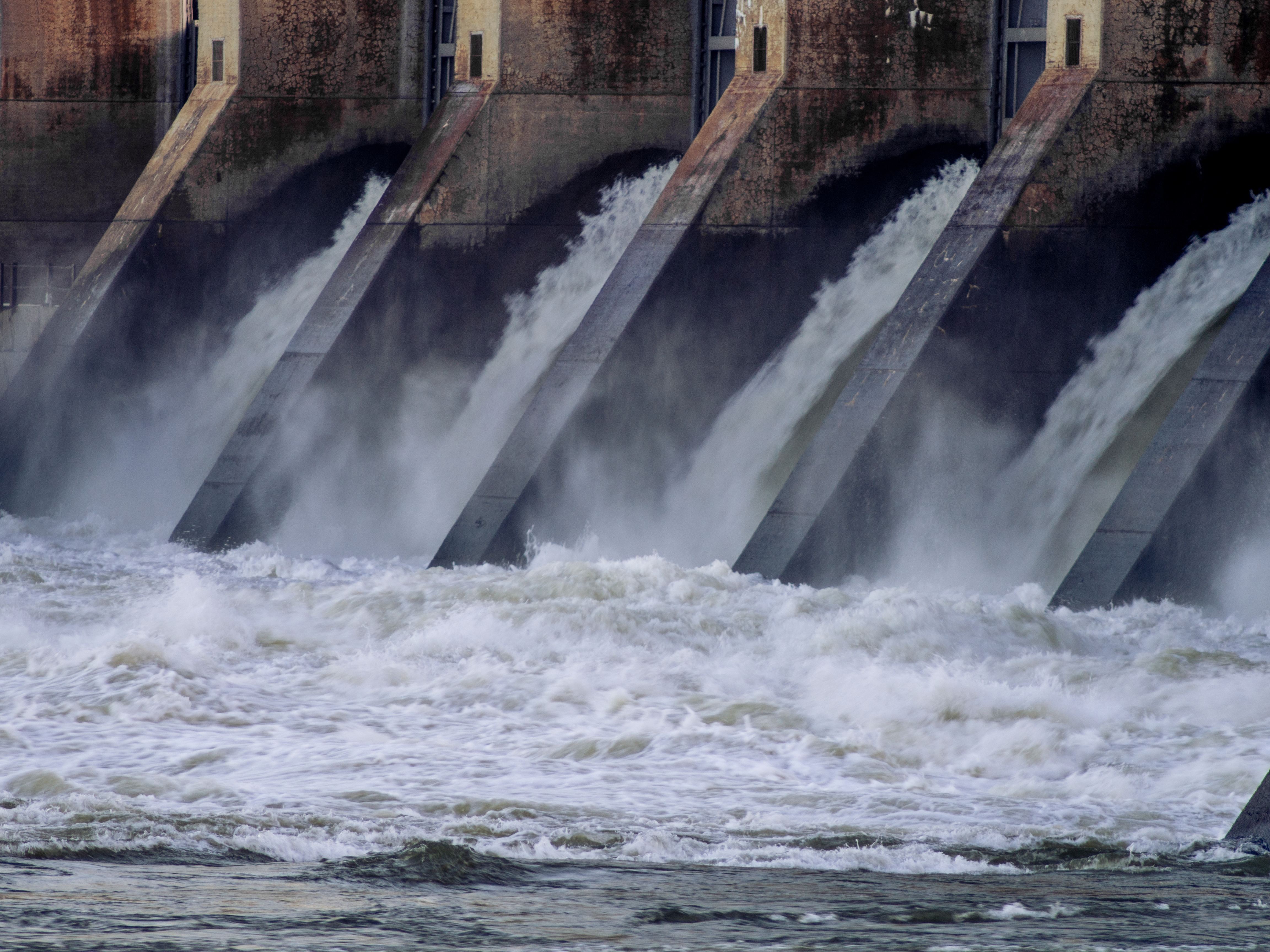
Chickamauga sluice

Week 42: Orange

~Sunset Fishing~

ww scoter male Chickamauga2

Western Grebe

Falling Water Presbyterian Church

Sedum ternatum (Stonecrop) Crassulaceae

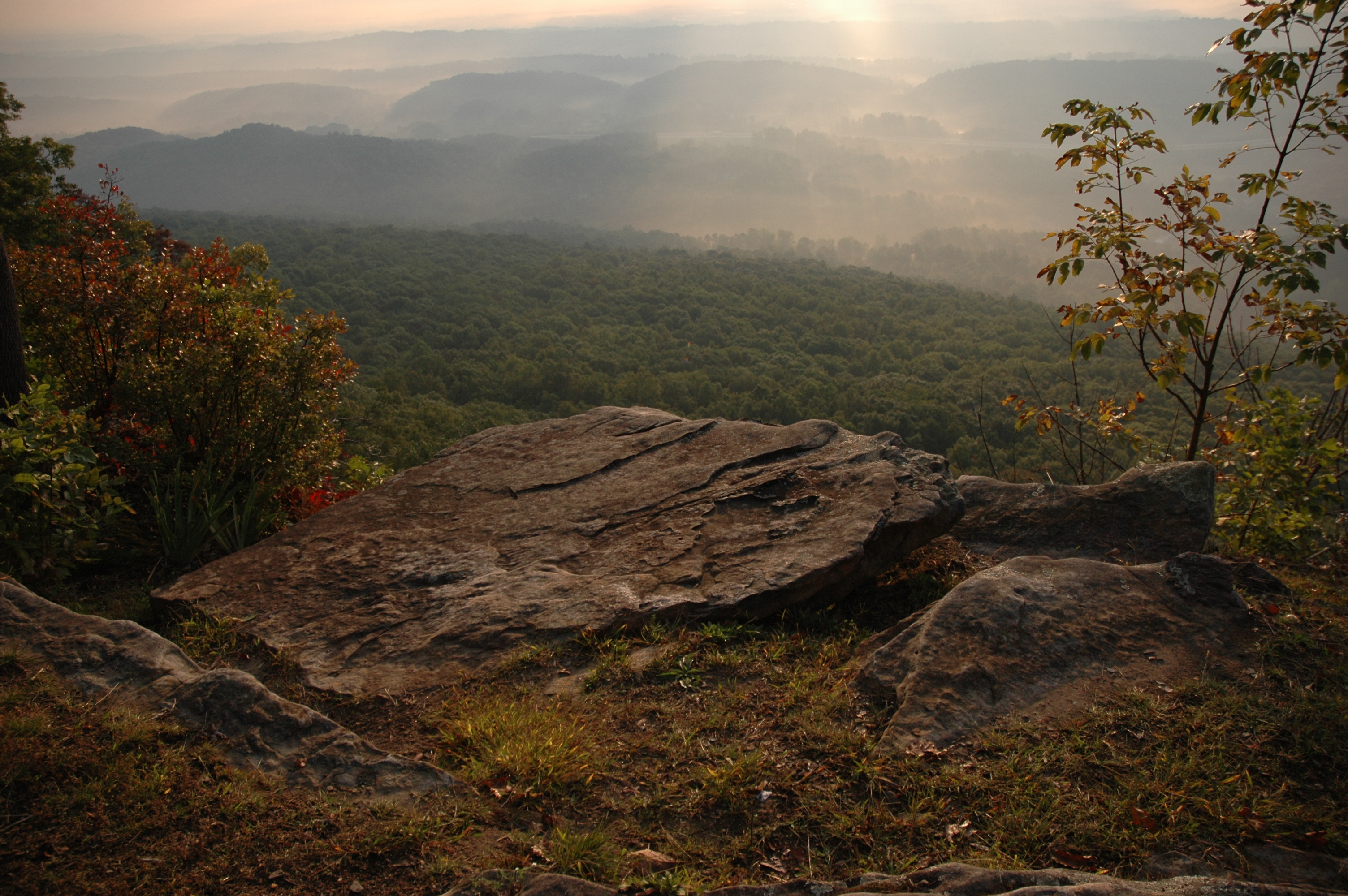
The View

Calycanthus floridus (Sweetshrub, Carolina Allspice) Calycanthaceae
The Rock

Toxicodendron radicans (Poison Ivy) Anacardiaceae

Matelea gonocarpos (Anglepod, Milkvine) Asclepiadaceae

Fagus grandifolia (American Beech) Fagaceae

Gadwall x Northern Pintail hybrid

Recording Haven for your viewing pleasure today @ 2.

Conopholis americana (American Cancer-root) Orobanchaceae
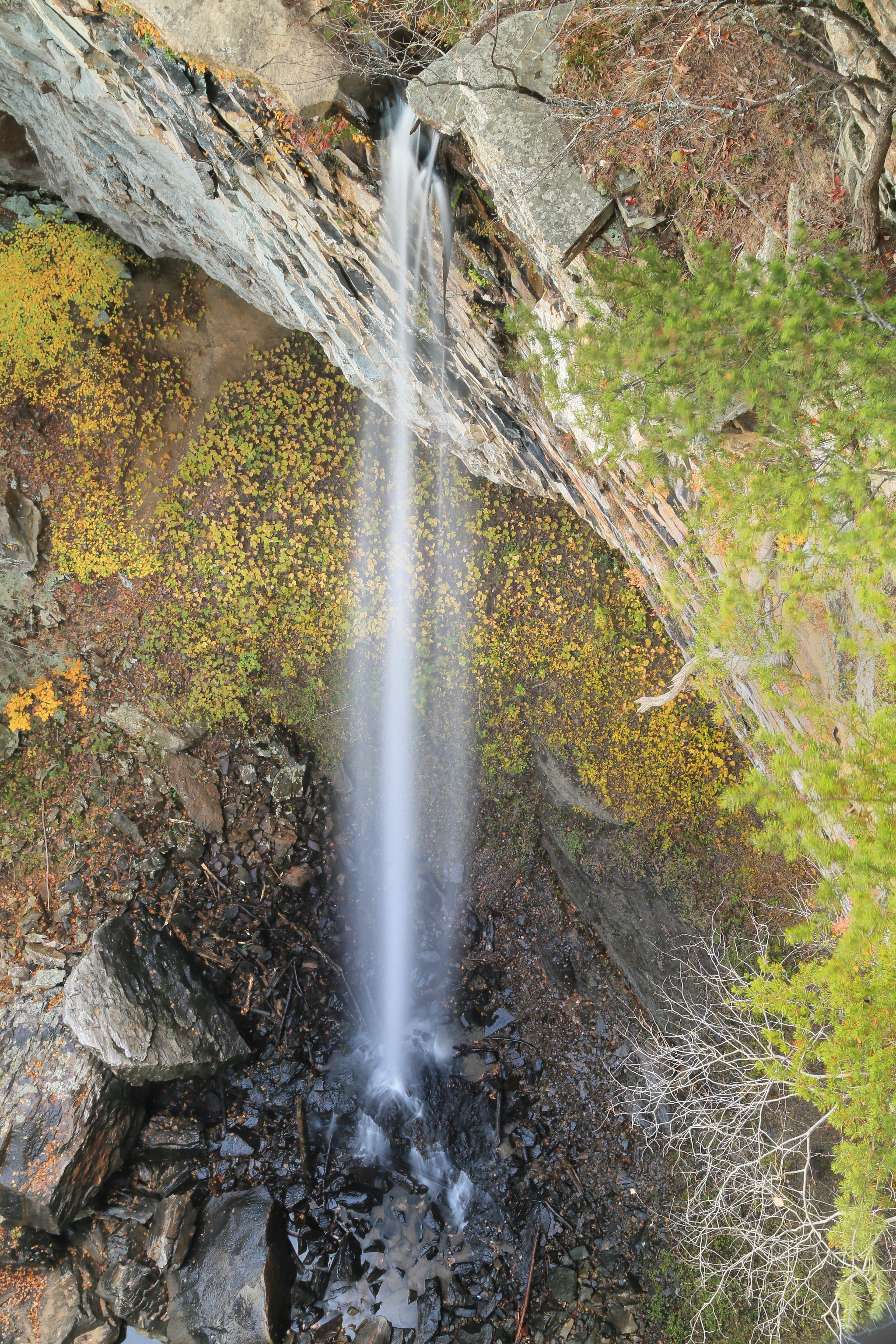
Falling Water Falls, Pickett Gulf, Falling Water Falls State Natural Area, Hamilton County, Tennessee 1

Tennessee Riverpark at Chickamauga Creek -- Chattanooga (TN) Sunday Morning September 18, 2011

The Tennessee River at Chickamauga Creek Upriver from Chattanooga -- Sunday Morning September 18, 2011

North Chickamauga Trail Segment of the Cumberland Trail

North Chickamauga Trail Segment of the Cumberland Trail

NS Train 64Q
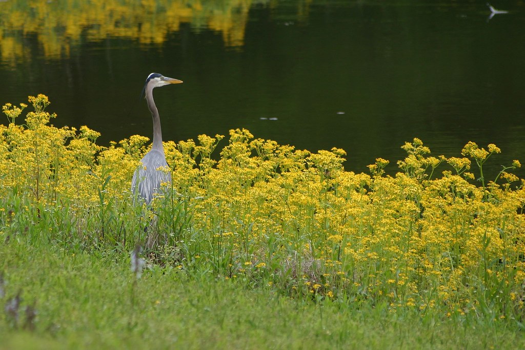
Great Blue Heron

Caution: Boulder

Quiet Barn
Soddy Creek, Cumberland Trail State Park, Hamilton County, Tennessee 1

NS 123, Chattanooga, TN

North Chickamauga Trail Segment of the Cumberland Trail - February 16, 2013
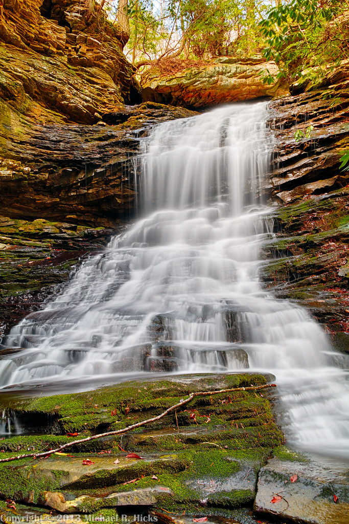
Cooper Creek Falls - North Chickamauga Trail Segment of the Cumberland Trail - February 16, 2013

Cooper Creek Falls - North Chickamauga Trail Segment of the Cumberland Trail - February 16, 2013

NS Train 143
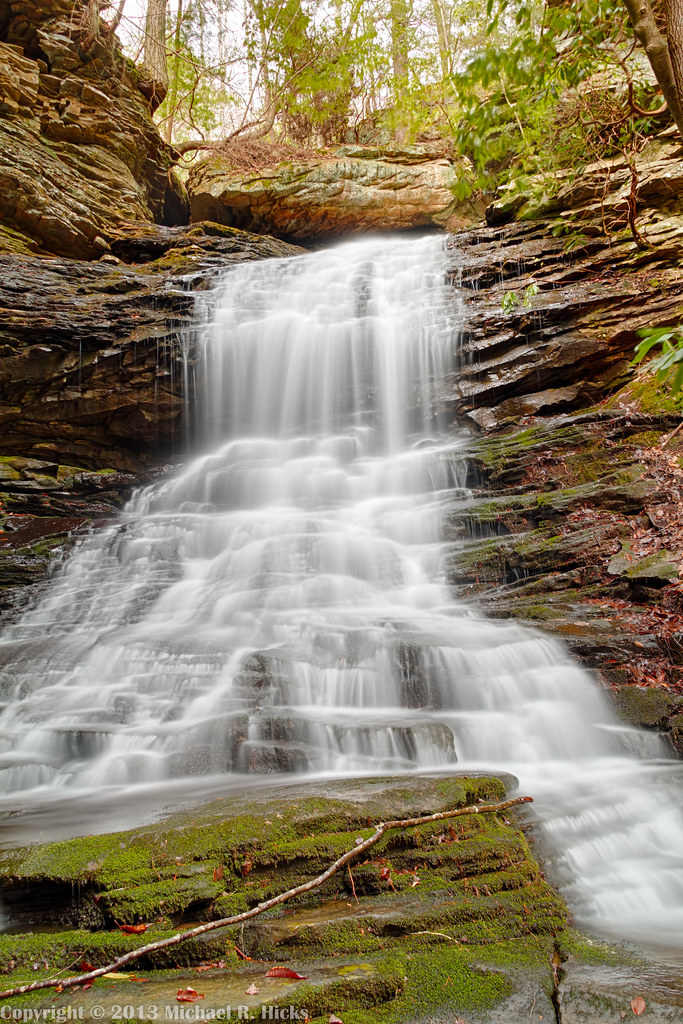
Cooper Creek Falls - North Chickamauga Trail Segment of the Cumberland Trail - February 16, 2013

North Chickamauga Trail Segment of the Cumberland Trail

Stripmine Falls - North Chickamauga Trail Segment of the Cumberland Trail - February 16, 2013

North Chickamauga Trail Segment of the Cumberland Trail

Patrick & Jennifer - Cooper Creek Falls - North Chickamauga Trail Segment of the Cumberland Trail - February 16, 2013
Topographic Map of Brookplace Dr, Hixson, TN, USA
Find elevation by address:

Places near Brookplace Dr, Hixson, TN, USA:
816 Brook Run Dr
444 Sevier St
1528 W Crabtree Rd
Rockdale Ln, Hixson, TN, USA
Middle Valley
Soddy-daisy
Soddy Daisy High School
Hamilton Avenue
810 S Valleywood Cir
Shadwick Cemetery
Terrace Falls Drive
914 Spurling Dr
916 Spurling Dr
918 Spurling Dr
920 Spurling Dr
8818 Terrace Falls Dr
922 Spurling Dr
428 Mowbray Pike
9700 Millsaps Coal Rd
919 Sandstone Terrace
Recent Searches:
- Elevation of Corso Fratelli Cairoli, 35, Macerata MC, Italy
- Elevation of Tallevast Rd, Sarasota, FL, USA
- Elevation of 4th St E, Sonoma, CA, USA
- Elevation of Black Hollow Rd, Pennsdale, PA, USA
- Elevation of Oakland Ave, Williamsport, PA, USA
- Elevation of Pedrógão Grande, Portugal
- Elevation of Klee Dr, Martinsburg, WV, USA
- Elevation of Via Roma, Pieranica CR, Italy
- Elevation of Tavkvetili Mountain, Georgia
- Elevation of Hartfords Bluff Cir, Mt Pleasant, SC, USA