Elevation of Save-A-Lot, Middle Valley Rd, Hixson, TN, USA
Location: United States > Tennessee > Hamilton County > Middle Valley >
Longitude: -85.205824
Latitude: 35.1746361
Elevation: 204m / 669feet
Barometric Pressure: 99KPa
Elevation Map:
Satellite Map:
Related Photos:

Coolidge Park Snowstorm

Autumn Colors (edit)

HBM meets Winter Wonderland (2)

Week 42: Orange

View from Signal Mtn Point Park

Walnut Street Bridge - Chattanooga, Tennessee

Middle Creek Bridge, Rainbow Lake Trail - Signal Mountain, Tennessee

Tennessee River - Chattanooga, Tennessee

~Sunset Fishing~

Chattanooga Walking Bridge at Night - HDR

Lake view

Lake view
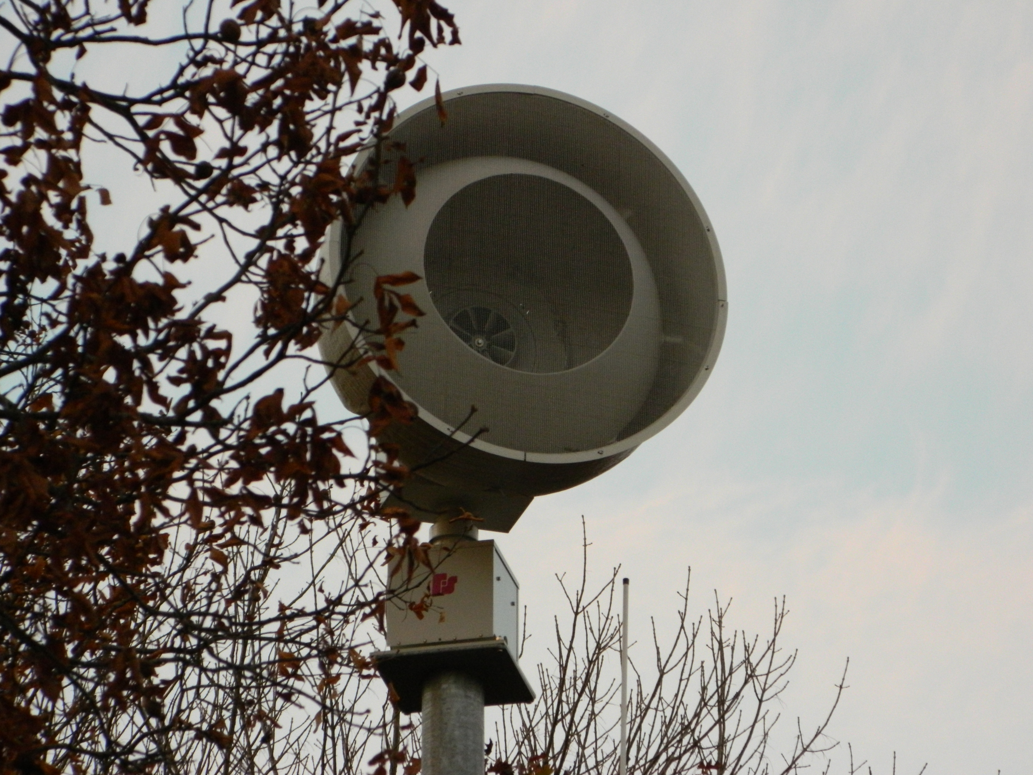
Federal Signal 508

June *explored*

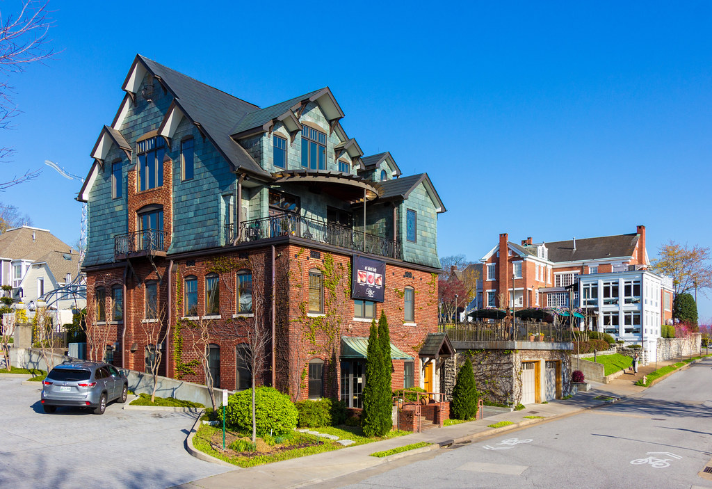
Bluff View Art District

Bluff View Art District

Must be an interesting place to work. I bet it has a good view.
Bluff View Bakery

The Delta Queen & Walnut Street Bridge

Once Upon A Time....

HFF + Hunter Museum = Happy Fence Friday! ; )
Autumn's Arch

Caution: Boulder
Creek Near Signal Mountain, Tennessee

Walnut Street bridge hdr-1

A Walk Over the Tennessee

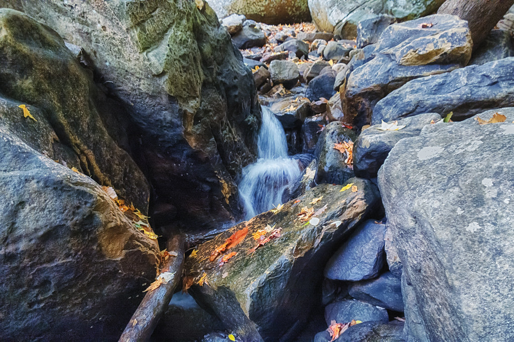
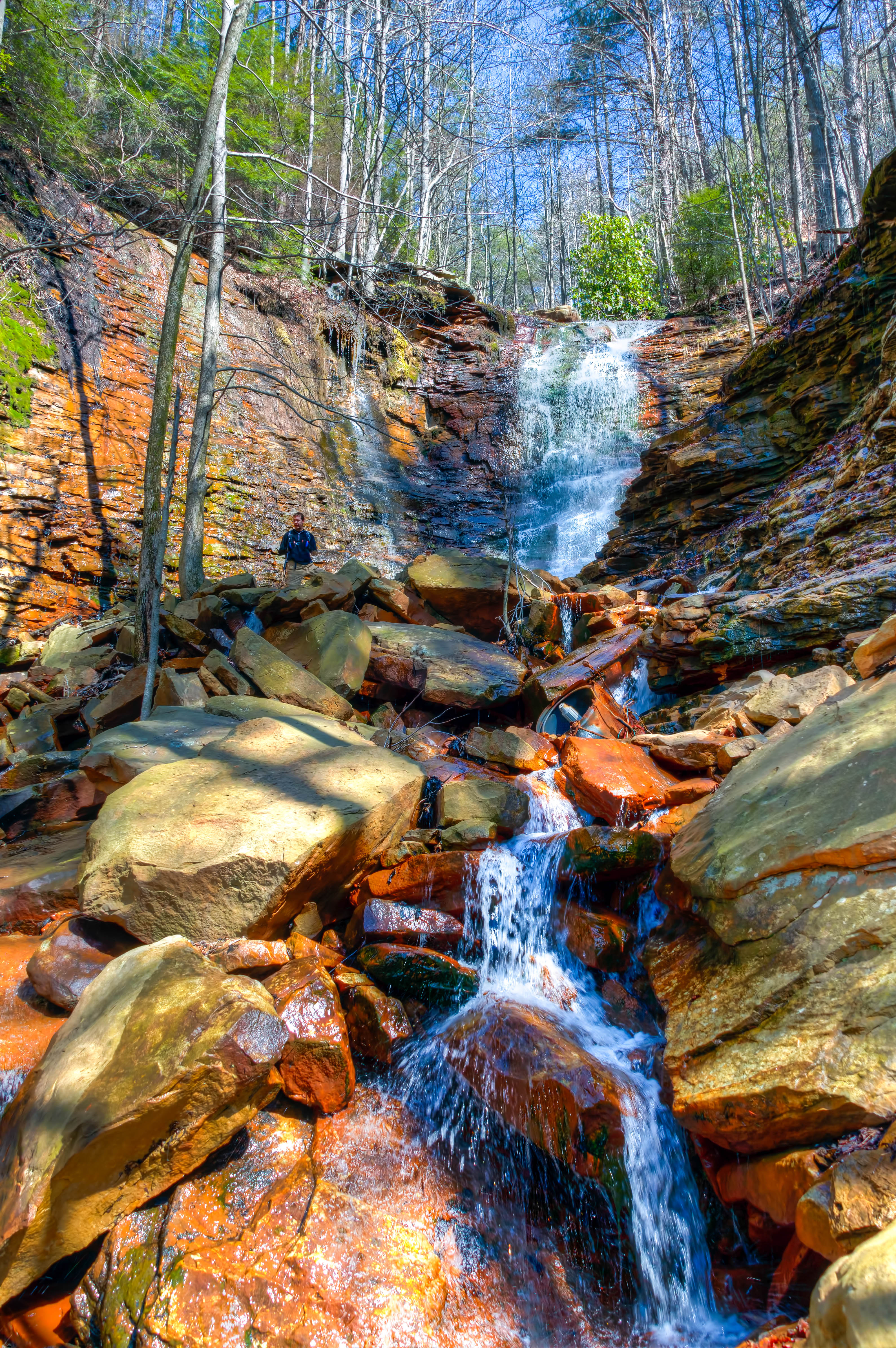
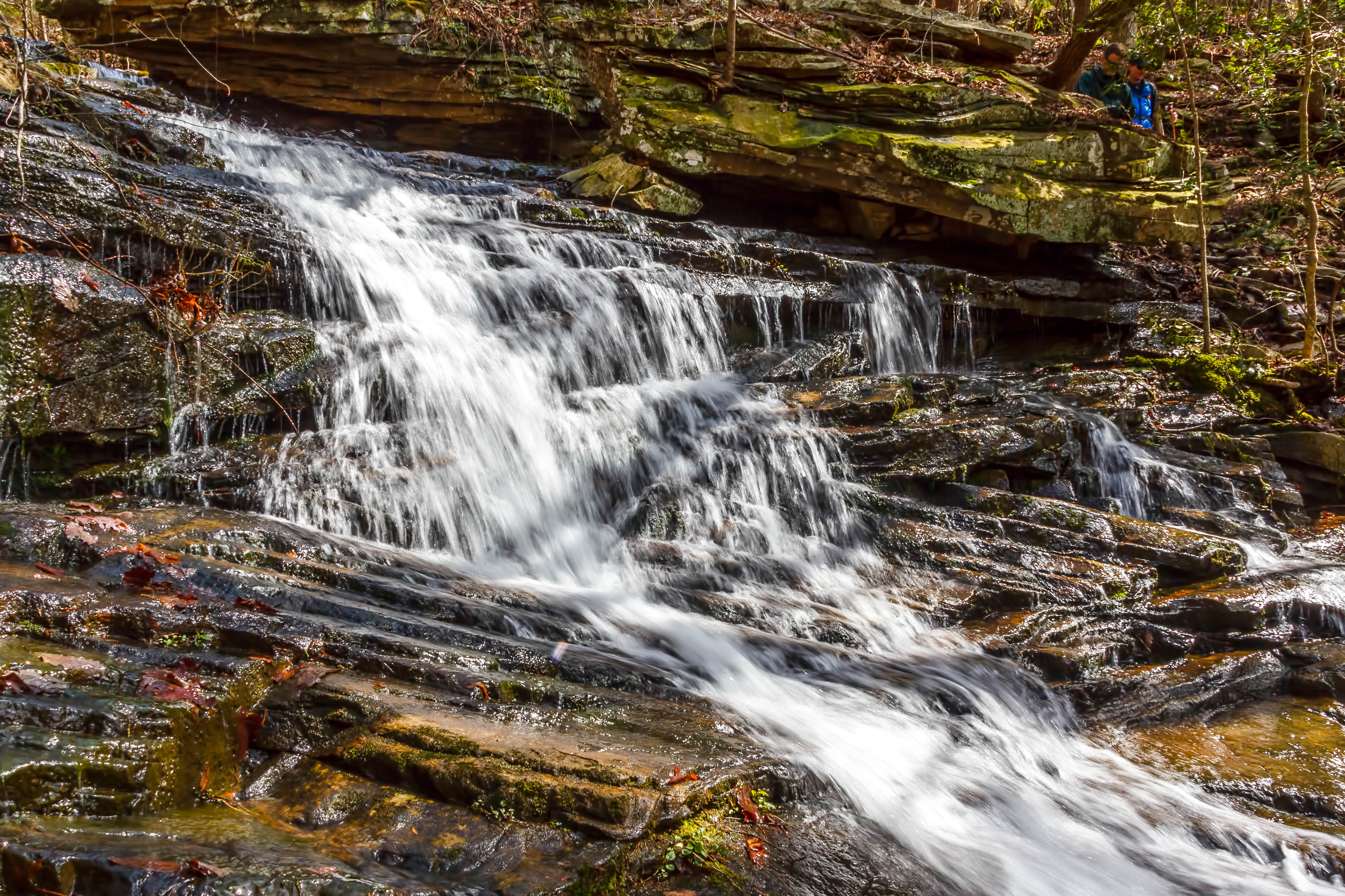
Cooper Creek Falls - North Chickamauga Trail Segment of the Cumberland Trail - February 16, 2013

Chickamauga Dam

Great Blue Heron
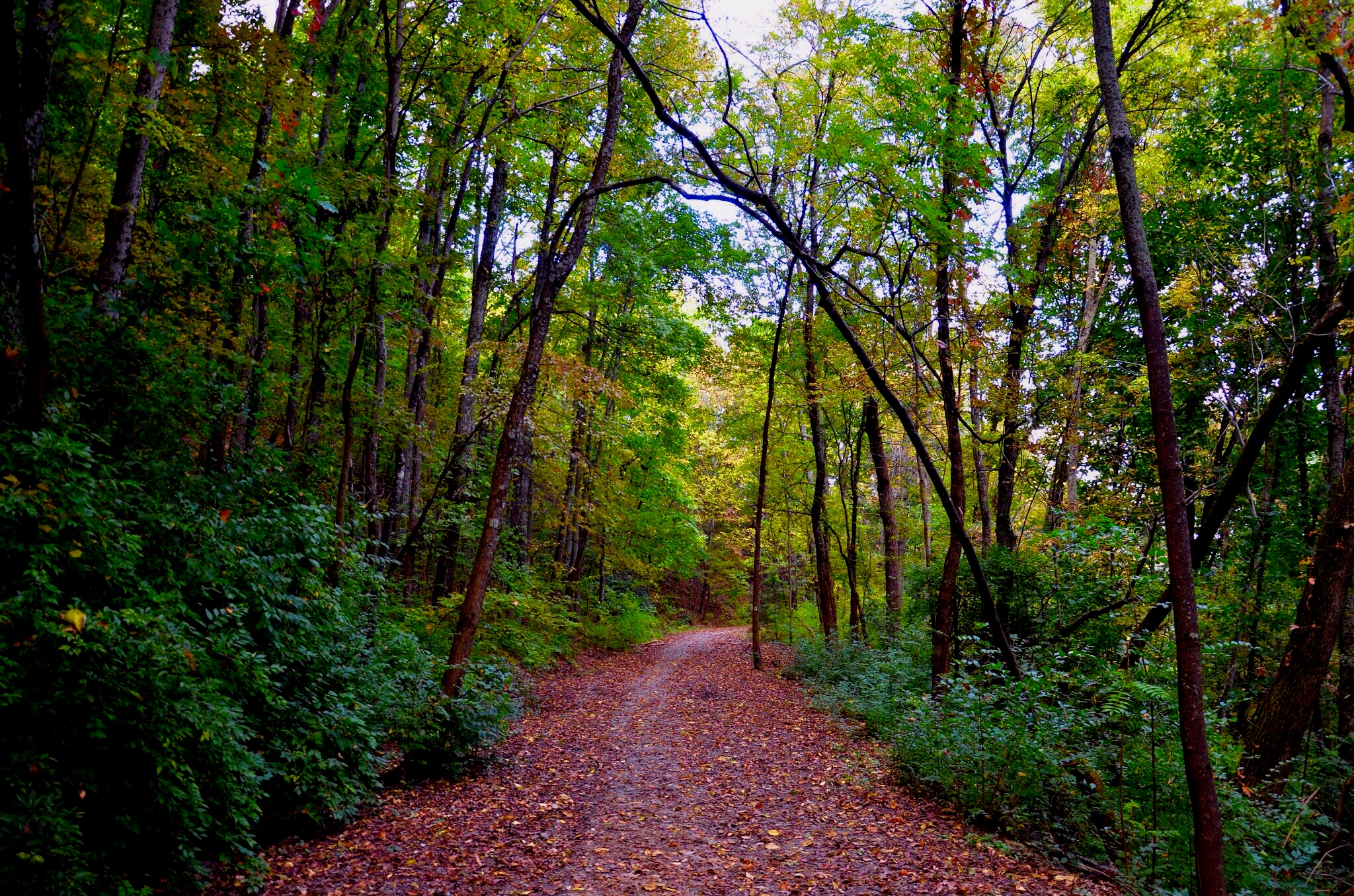
North Chickamauga Trail Segment of the Cumberland Trail
North Chickamauga Trail Segment of the Cumberland Trail
North Chickamauga Trail Segment of the Cumberland Trail
North Chickamauga Trail Segment of the Cumberland Trail

Fall is in full force. ????????????????#exploreTN #exploremore #explore #rei #rei1440project #RedefineTheOutdoors #tn #tnwild #tennessee #ighikers #igerstennessee #instagramtennessee #outside #outdoors #OutdoorsUSA #onlyt

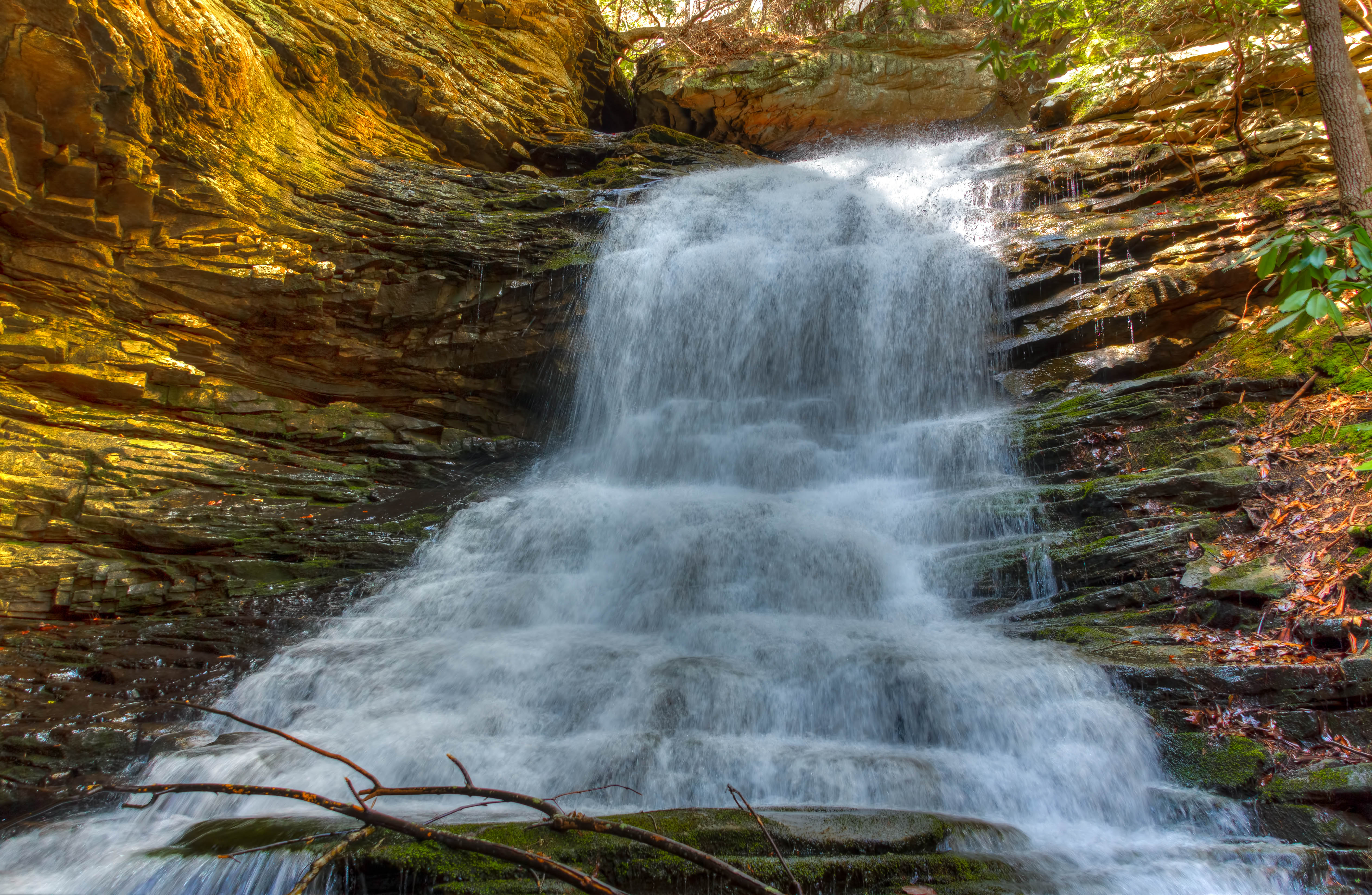
North Chickamauga Trail Segment of the Cumberland Trail - February 16, 2013

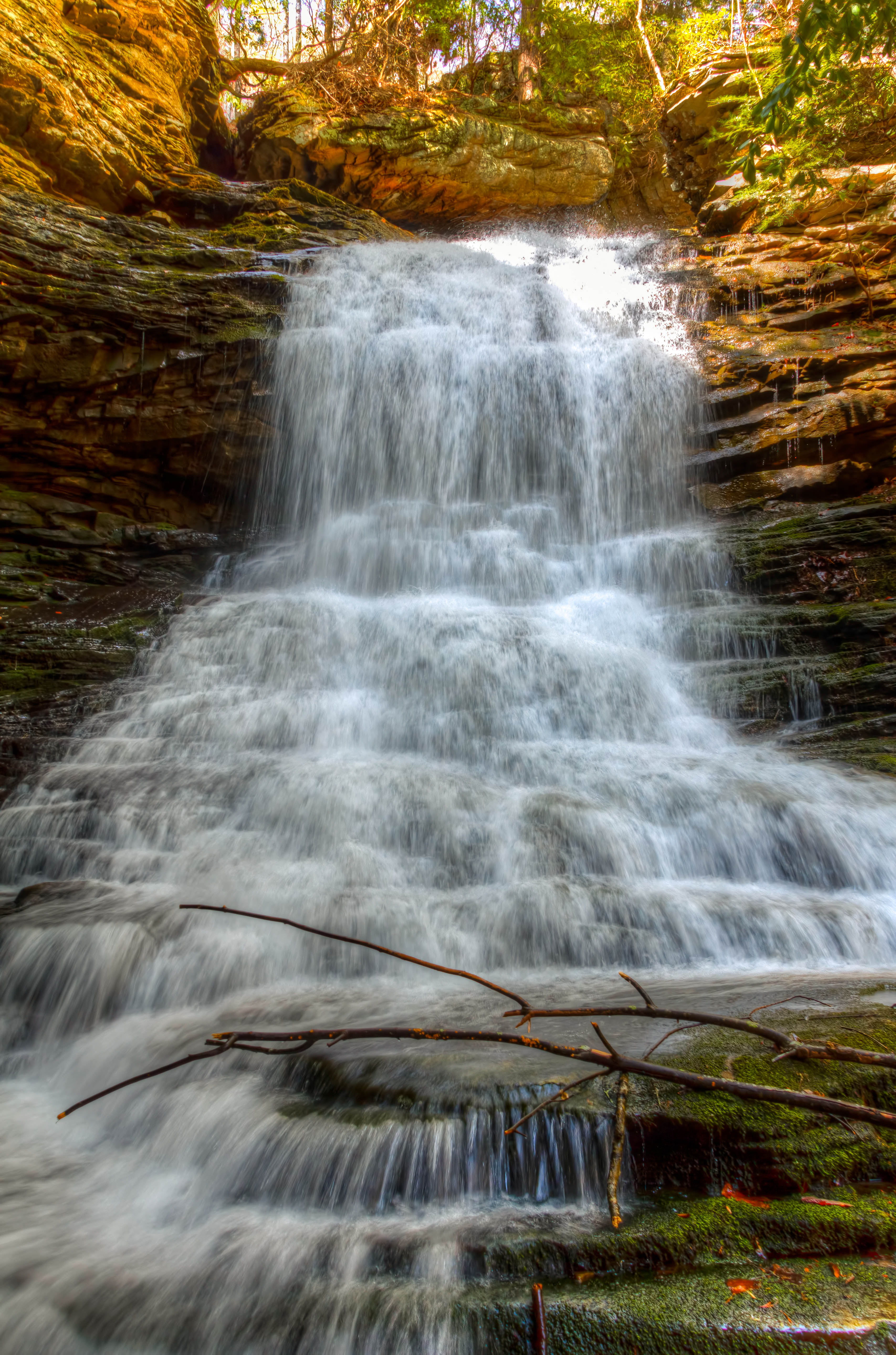
Cooper Creek Falls - North Chickamauga Trail Segment of the Cumberland Trail - February 16, 2013

Bridges over Tennessee River at Sunset
North Chickamauga Trail Segment of the Cumberland Trail
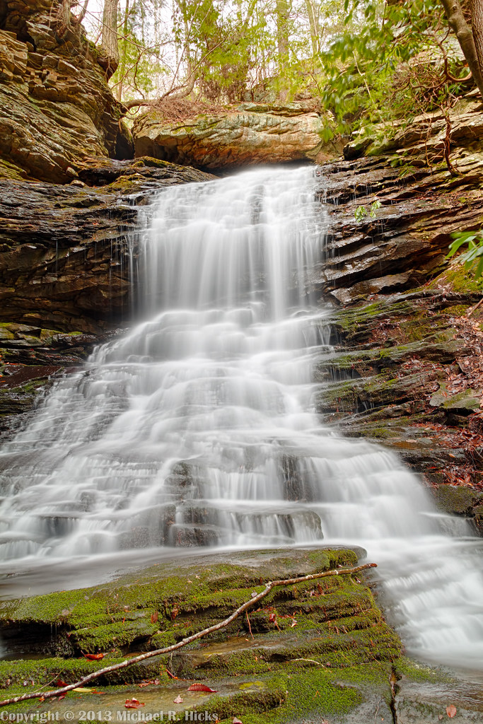
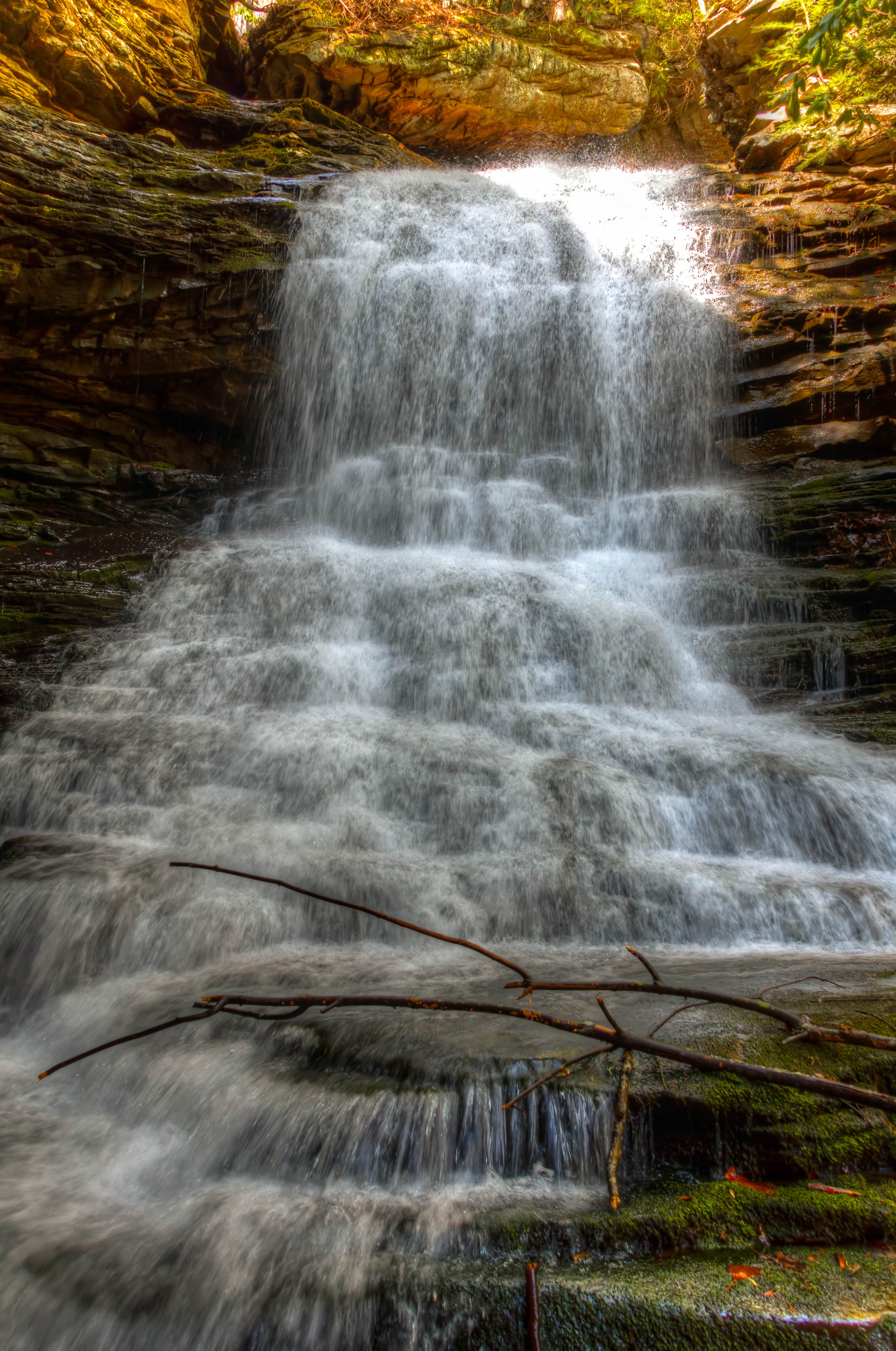
Cooper Creek Falls - North Chickamauga Trail Segment of the Cumberland Trail - February 16, 2013

North Chickamauga Trail Segment of the Cumberland Trail
Topographic Map of Save-A-Lot, Middle Valley Rd, Hixson, TN, USA
Find elevation by address:

Places near Save-A-Lot, Middle Valley Rd, Hixson, TN, USA:
918 Spurling Dr
916 Spurling Dr
920 Spurling Dr
914 Spurling Dr
922 Spurling Dr
Shadwick Cemetery
810 S Valleywood Cir
McCormack Dr, Hixson, TN, USA
Westgate Road
1353 Village Green Dr
1434 Gold Crest Dr
Gold Crest Dr, Hixson, TN, USA
Rockdale Ln, Hixson, TN, USA
444 Sevier St
Middle Valley
1528 W Crabtree Rd
6411 Forest Meade Dr
233 Dolores Dr
944 Lower Mill Rd
687 Boy Scout Rd
Recent Searches:
- Elevation of Corso Fratelli Cairoli, 35, Macerata MC, Italy
- Elevation of Tallevast Rd, Sarasota, FL, USA
- Elevation of 4th St E, Sonoma, CA, USA
- Elevation of Black Hollow Rd, Pennsdale, PA, USA
- Elevation of Oakland Ave, Williamsport, PA, USA
- Elevation of Pedrógão Grande, Portugal
- Elevation of Klee Dr, Martinsburg, WV, USA
- Elevation of Via Roma, Pieranica CR, Italy
- Elevation of Tavkvetili Mountain, Georgia
- Elevation of Hartfords Bluff Cir, Mt Pleasant, SC, USA