Elevation of Brighton, IA, USA
Location: United States > Iowa > Cass County >
Longitude: -95.0806918
Latitude: 41.4692638
Elevation: 373m / 1224feet
Barometric Pressure: 0KPa
Related Photos:
2011-09-01 13.24.50

Hoar Frost
2011-09-01 13.22.16

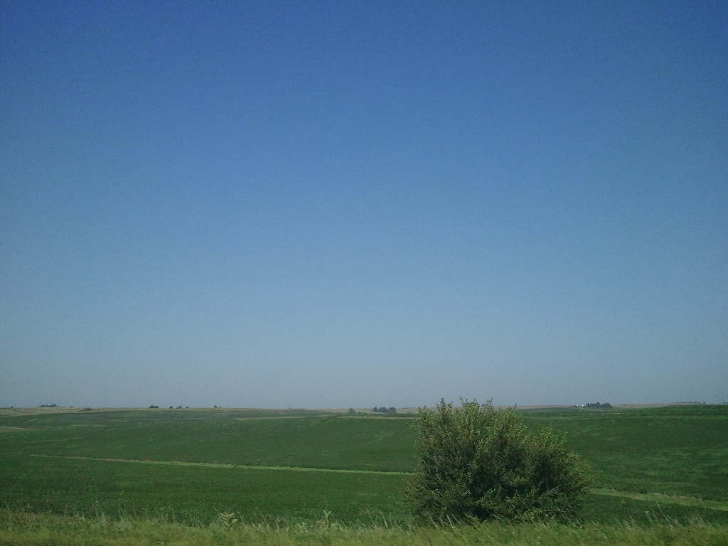
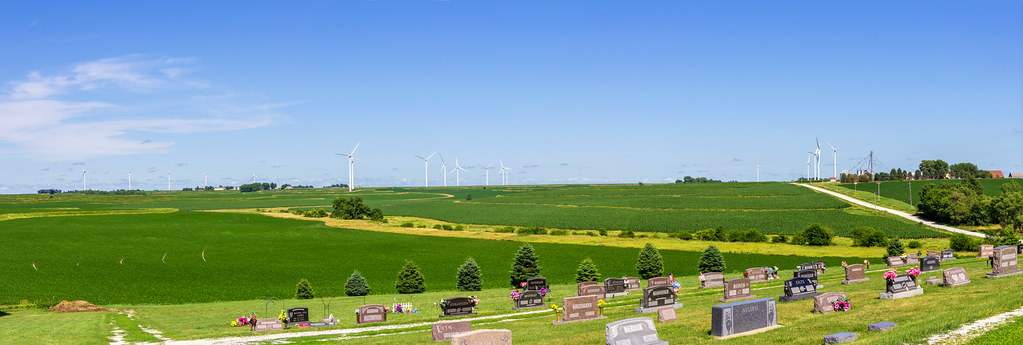
Iowa II
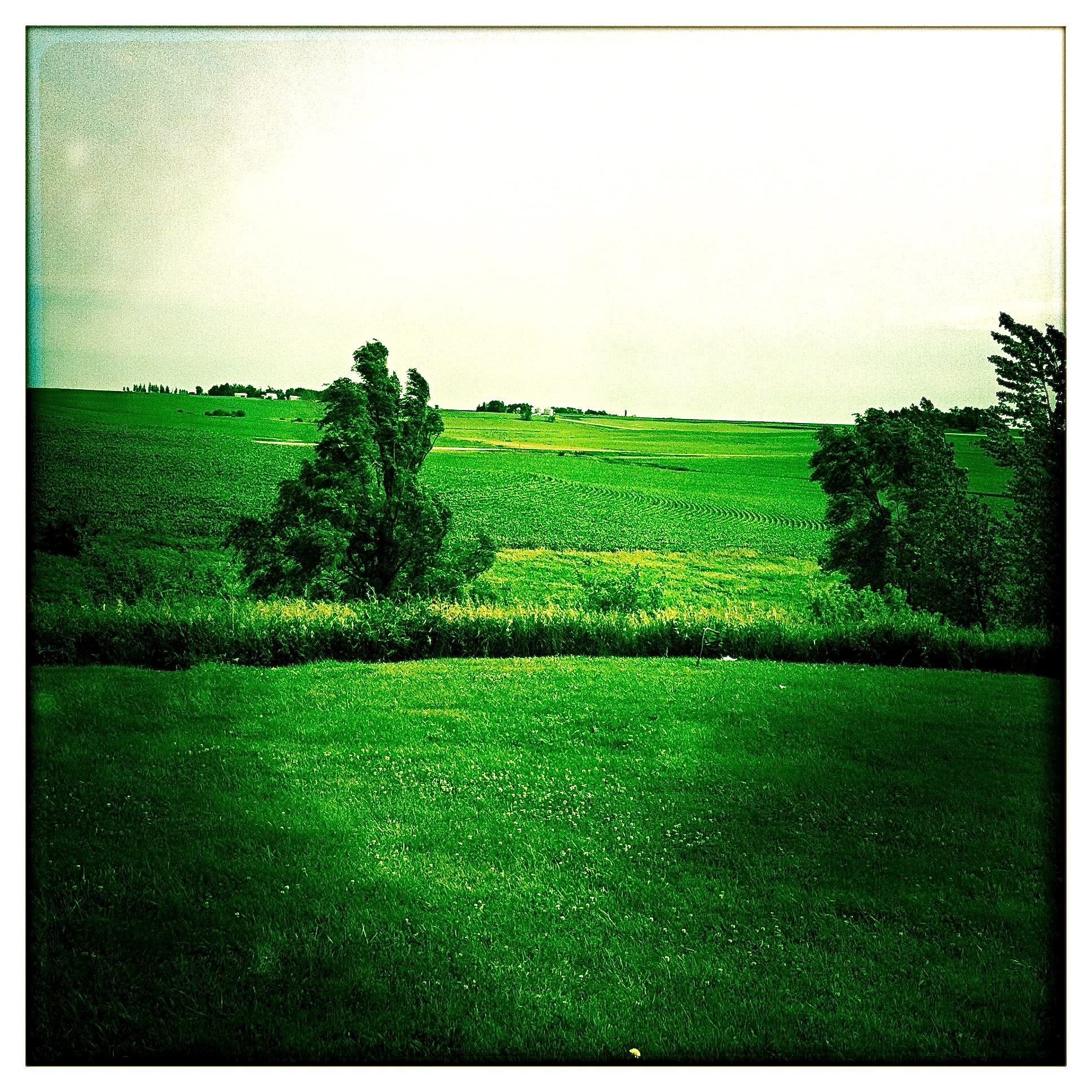
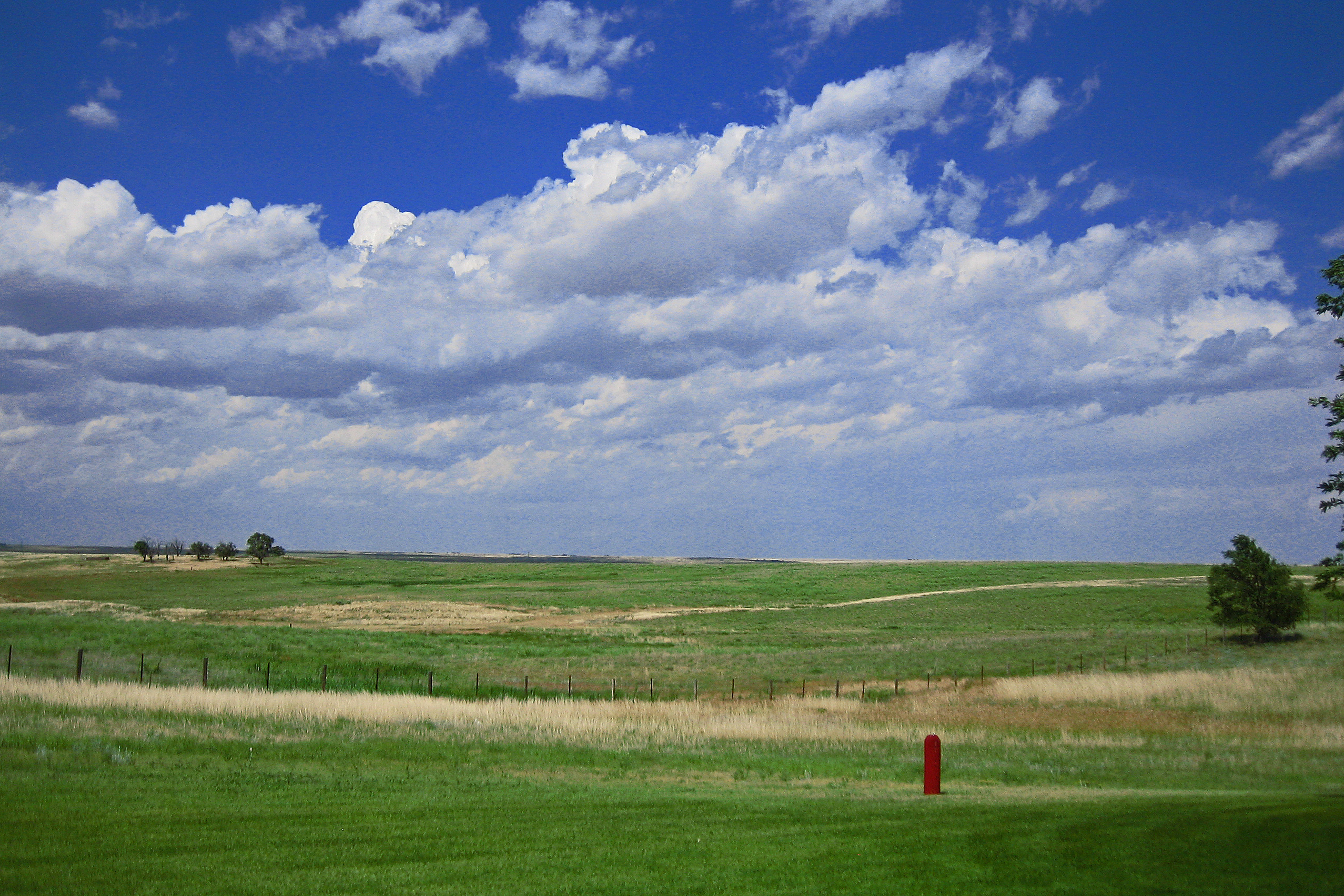
Iowa I

Iowa sunset
Camera Roll-14
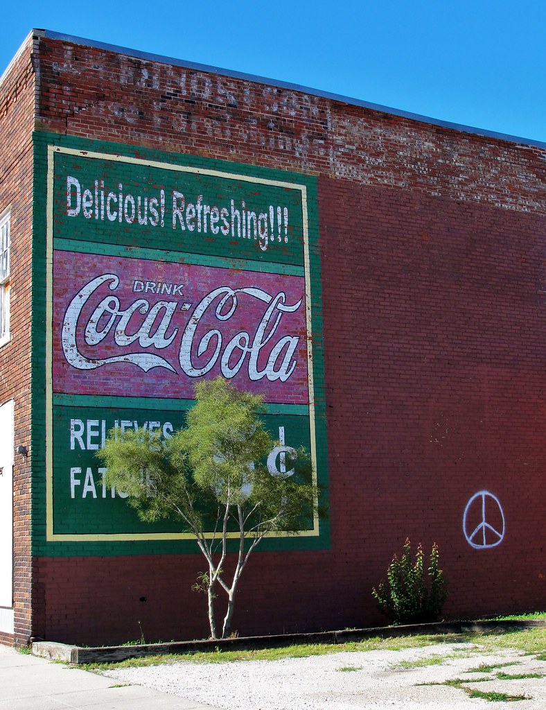
Coca-Cola Relieves Fatigue

Landscape_080114_LR-6.jpg
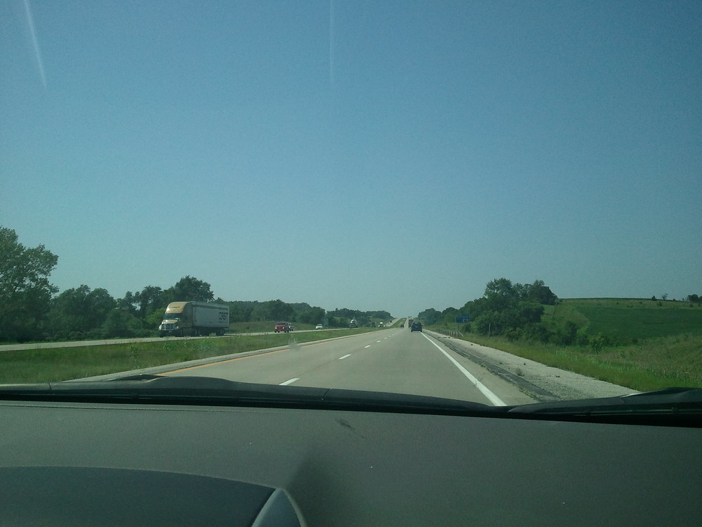
side of the road, IA
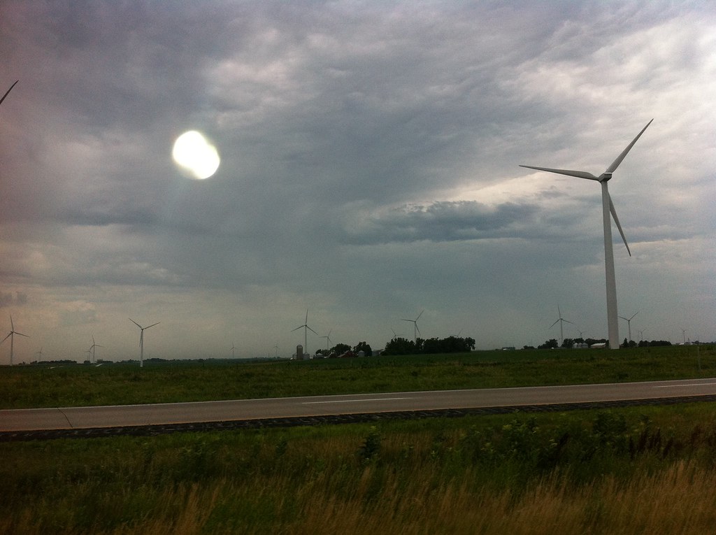
Death & Energy

Lone billboard
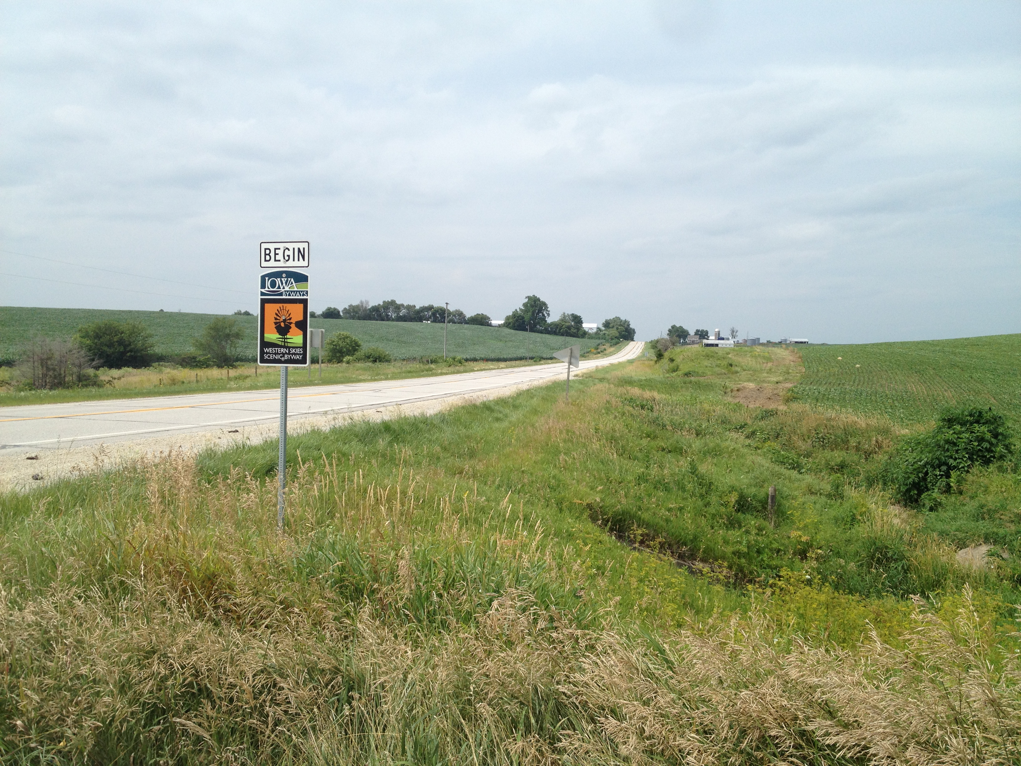
The Journey Begins
Topographic Map of Brighton, IA, USA
Find elevation by address:

Places in Brighton, IA, USA:
Places near Brighton, IA, USA:
Marne
4242 Marne Rd
47706 W 2nd St
47706 W 2nd St
Clay
Pymosa
Atlantic
1307 E 7th St
611 E 19th St
Grove
Oakfield
Elk Horn
Washington St, Elk Horn, IA, USA
Layton
th St, Atlantic, IA, USA
510th Street
Antique City Dr, Walnut, IA, USA
Walnut
W 2nd St, Kimballton, IA, USA
Kimballton
Recent Searches:
- Elevation of 611, Roman Road, Old Ford, Bow, London, England, E3 2RW, United Kingdom
- Elevation of 116, Beartown Road, Underhill, Chittenden County, Vermont, 05489, USA
- Elevation of Window Rock, Colfax County, New Mexico, 87714, USA
- Elevation of 4807, Rosecroft Street, Kempsville Gardens, Virginia Beach, Virginia, 23464, USA
- Elevation map of Matawinie, Quebec, Canada
- Elevation of Sainte-Émélie-de-l'Énergie, Matawinie, Quebec, Canada
- Elevation of Rue du Pont, Sainte-Émélie-de-l'Énergie, Matawinie, Quebec, J0K2K0, Canada
- Elevation of 8, Rue de Bécancour, Blainville, Thérèse-De Blainville, Quebec, J7B1N2, Canada
- Elevation of Wilmot Court North, 163, University Avenue West, Northdale, Waterloo, Region of Waterloo, Ontario, N2L6B6, Canada
- Elevation map of Panamá Province, Panama
- Elevation of Balboa, Panamá Province, Panama
- Elevation of San Miguel, Balboa, Panamá Province, Panama
- Elevation of Isla Gibraleón, San Miguel, Balboa, Panamá Province, Panama
- Elevation of 4655, Krischke Road, Schulenburg, Fayette County, Texas, 78956, USA
- Elevation of Carnegie Avenue, Downtown Cleveland, Cleveland, Cuyahoga County, Ohio, 44115, USA
- Elevation of Walhonding, Coshocton County, Ohio, USA
- Elevation of Clifton Down, Clifton, Bristol, City of Bristol, England, BS8 3HU, United Kingdom
- Elevation map of Auvergne-Rhône-Alpes, France
- Elevation map of Upper Savoy, Auvergne-Rhône-Alpes, France
- Elevation of Chamonix-Mont-Blanc, Upper Savoy, Auvergne-Rhône-Alpes, France