Elevation of Kimballton, IA, USA
Location: United States > Iowa > Audubon County > Sharon >
Longitude: -95.073046
Latitude: 41.628599
Elevation: 395m / 1296feet
Barometric Pressure: 97KPa
Elevation Map:
Satellite Map:
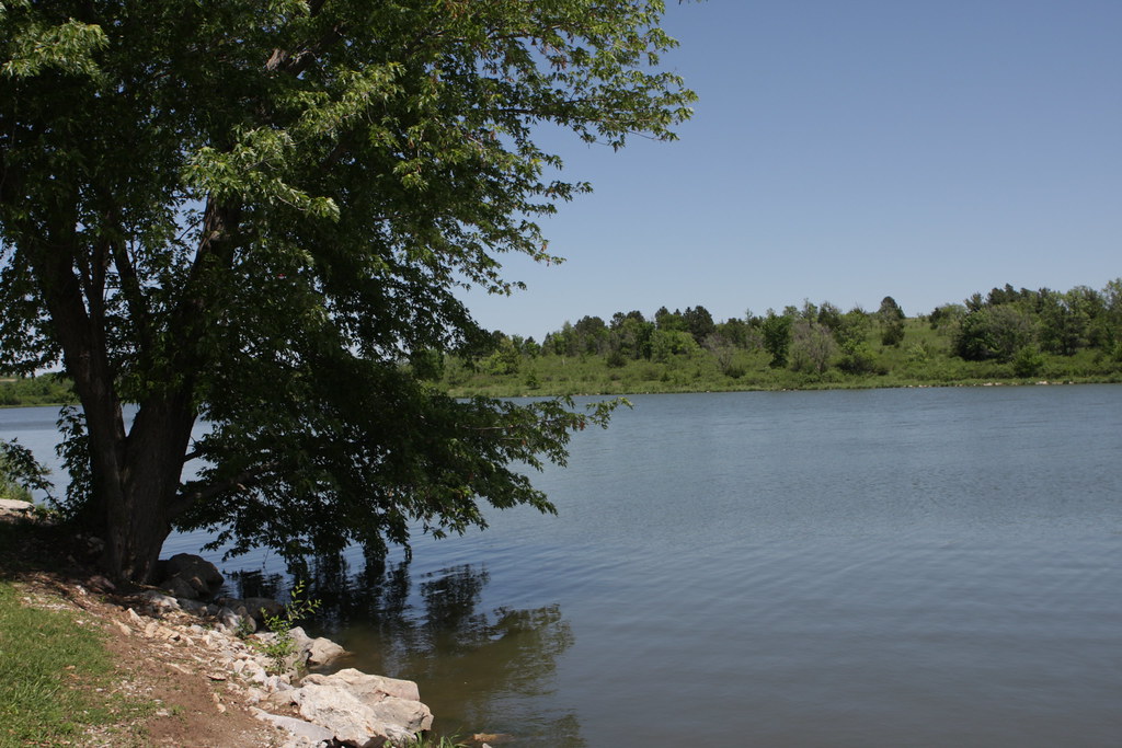
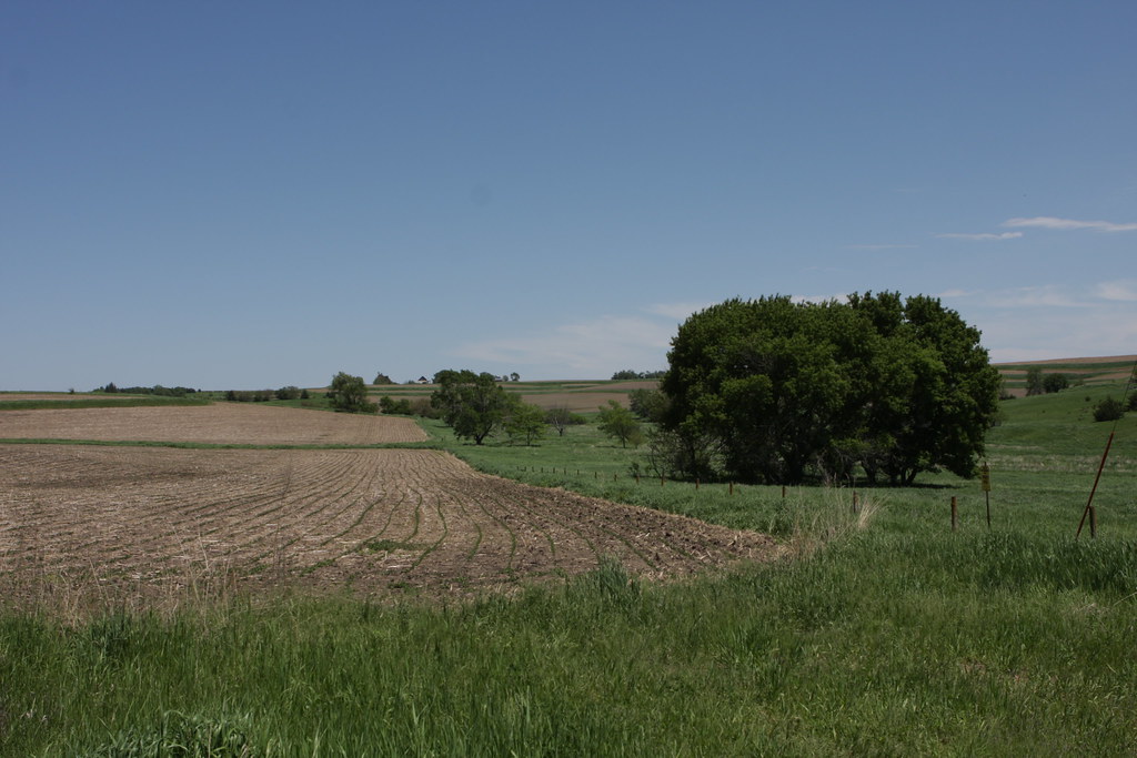
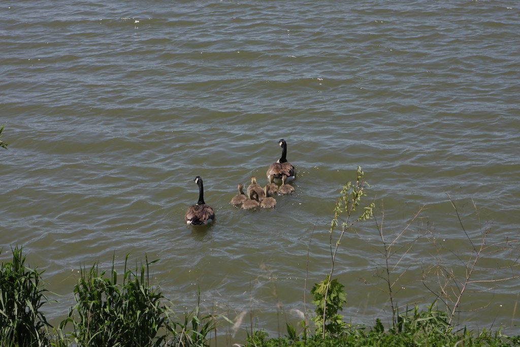
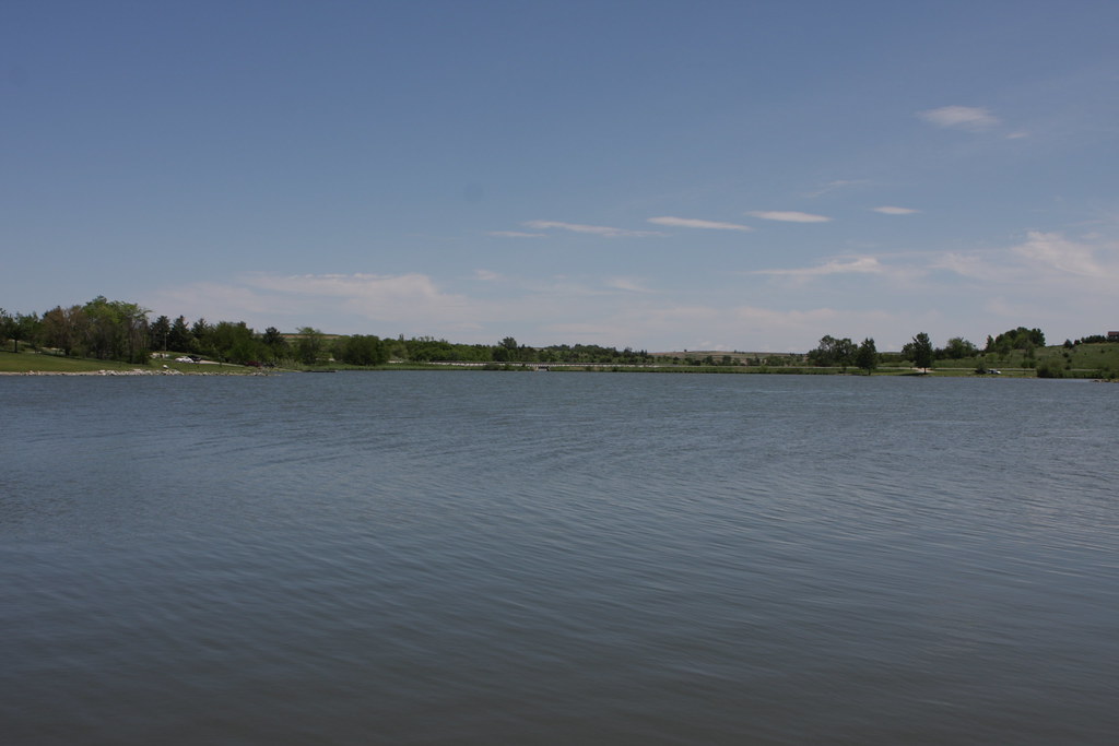
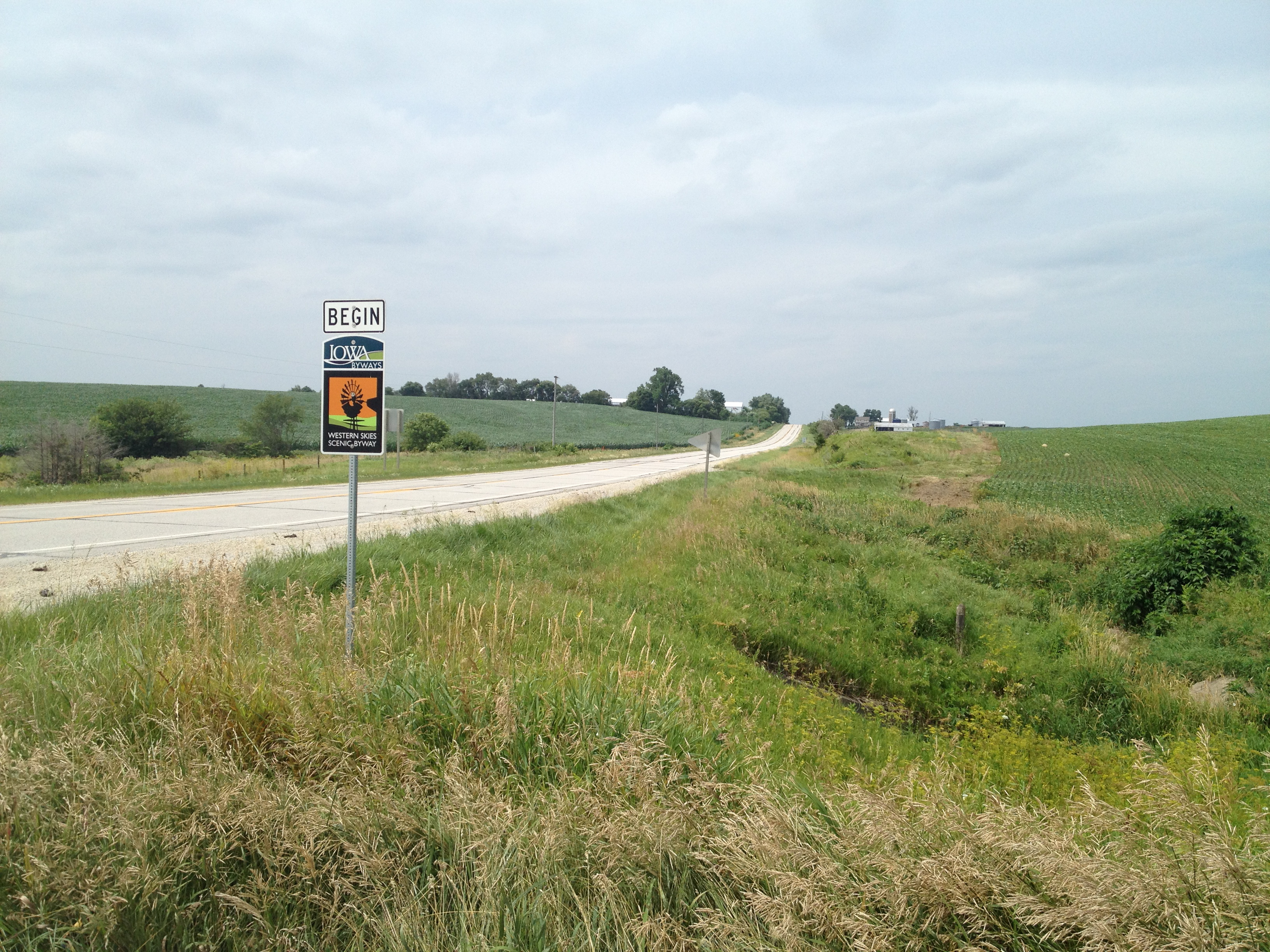
Related Photos:
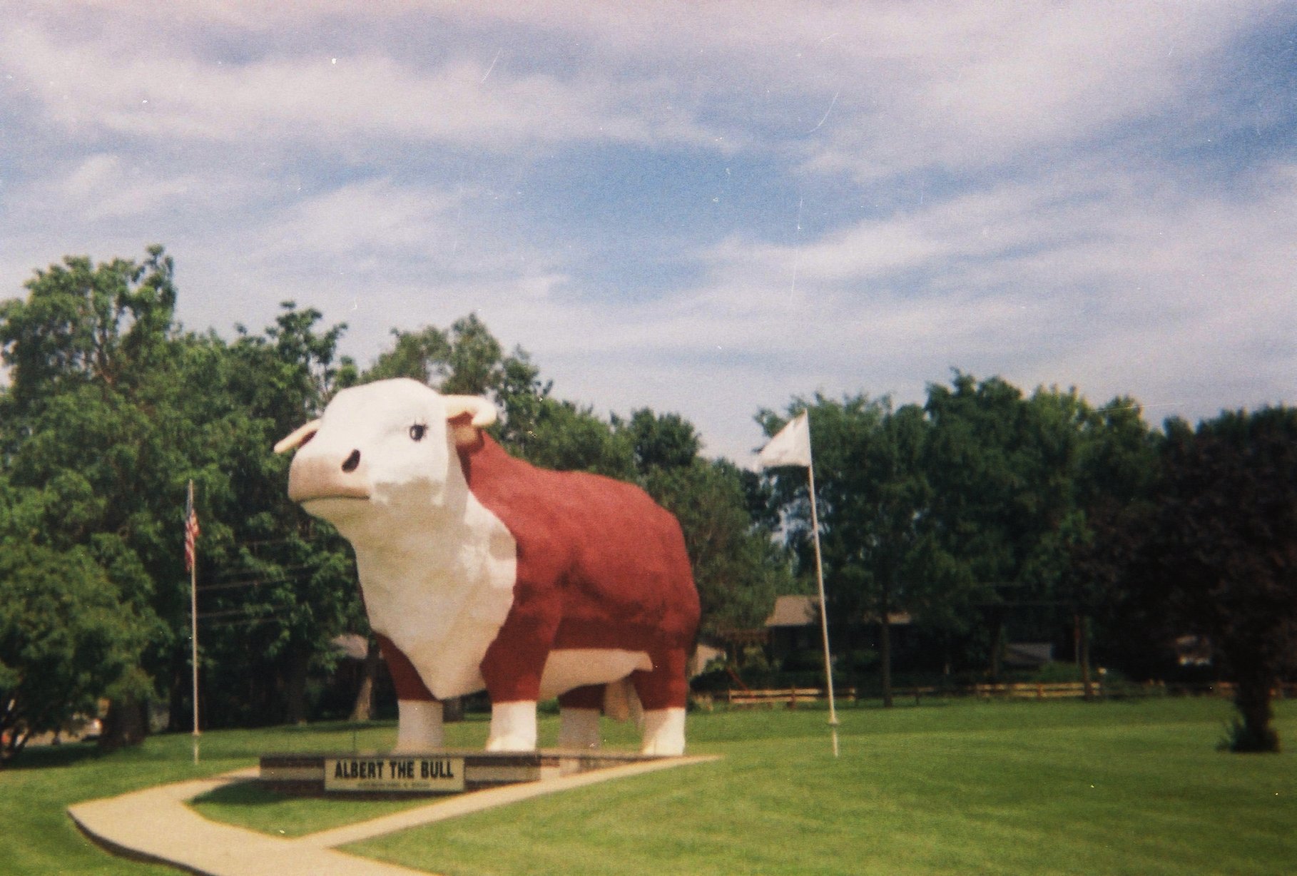
albert the bull
2011-09-01 13.24.50
IMG_03932.JPG
The Journey Begins
IMG_03931.JPG
IMG_03923.JPG
IMG_03948.JPG
IMG_03930.JPG
IMG_03937.JPG
IMG_03936.JPG
side of the road, IA
IMG_03939.JPG
IMG_03938.JPG
IMG_03935.JPG
IMG_03934.JPG
IMG_03933.JPG

Lone billboard
Topographic Map of Kimballton, IA, USA
Find elevation by address:

Places in Kimballton, IA, USA:
Places near Kimballton, IA, USA:
W 2nd St, Kimballton, IA, USA
Sharon
Elk Horn
Washington St, Elk Horn, IA, USA
th St, Harlan, IA, USA
Clay
Jackson
Oakfield
th St, Kirkman, IA, USA
Audubon County
Polk
Brighton
Audubon
Brayton
3271 Us-71
Pymosa
Marne
4242 Marne Rd
510th Street
W Washington St, Exira, IA, USA
Recent Searches:
- Elevation of Corso Fratelli Cairoli, 35, Macerata MC, Italy
- Elevation of Tallevast Rd, Sarasota, FL, USA
- Elevation of 4th St E, Sonoma, CA, USA
- Elevation of Black Hollow Rd, Pennsdale, PA, USA
- Elevation of Oakland Ave, Williamsport, PA, USA
- Elevation of Pedrógão Grande, Portugal
- Elevation of Klee Dr, Martinsburg, WV, USA
- Elevation of Via Roma, Pieranica CR, Italy
- Elevation of Tavkvetili Mountain, Georgia
- Elevation of Hartfords Bluff Cir, Mt Pleasant, SC, USA